The best walks and hikes around Stoßweier
4.5
(6645)
28,942
hikers
114
hikes
Hiking around Stoßweier offers access to the diverse landscapes of the Vosges Mountains in the Alsace region of France. The terrain is characterized by rounded summits, ancient forests, and glacial lakes, providing varied environments for outdoor exploration. Hikers can expect panoramic views across the Rhine plain and the Black Forest from higher elevations. The area is also part of the Parc naturel régional des Ballons des Vosges.
Best hiking trails around Stoßweier
- The most popular hiking route is The Hirschsteine…
Last updated: September 28, 2026
4.8
(558)
2,262
hikers
12.0km
03:55
410m
410m
Hard hike. Good fitness required. Sure-footedness, sturdy shoes and alpine experience required.
4.7
(176)
607
hikers
8.98km
02:52
260m
260m
Moderate hike. Good fitness required. Mostly accessible paths. Sure-footedness required.

4.8
(677)
2,756
hikers
6.67km
02:34
270m
270m
Hard hike. Good fitness required. Sure-footedness, sturdy shoes and alpine experience required.
4.8
(401)
1,716
hikers
8.09km
02:24
230m
230m
Moderate hike. Good fitness required. Mostly accessible paths. Sure-footedness required.
4.7
(122)
555
hikers
7.45km
02:41
390m
390m
Moderate hike. Good fitness required. Mostly accessible paths. Sure-footedness required.
Get access to more routes and recommendations from other explorers.
Already have an account?
Our route recommendations are based on thousands of hikes, rides, and runs completed by other people on komoot.
Start today with a free account
Your next adventure awaits.
Popular around Stoßweier

Sentier de l'Europe (GR 5) – Montbéliard to Abreschviller
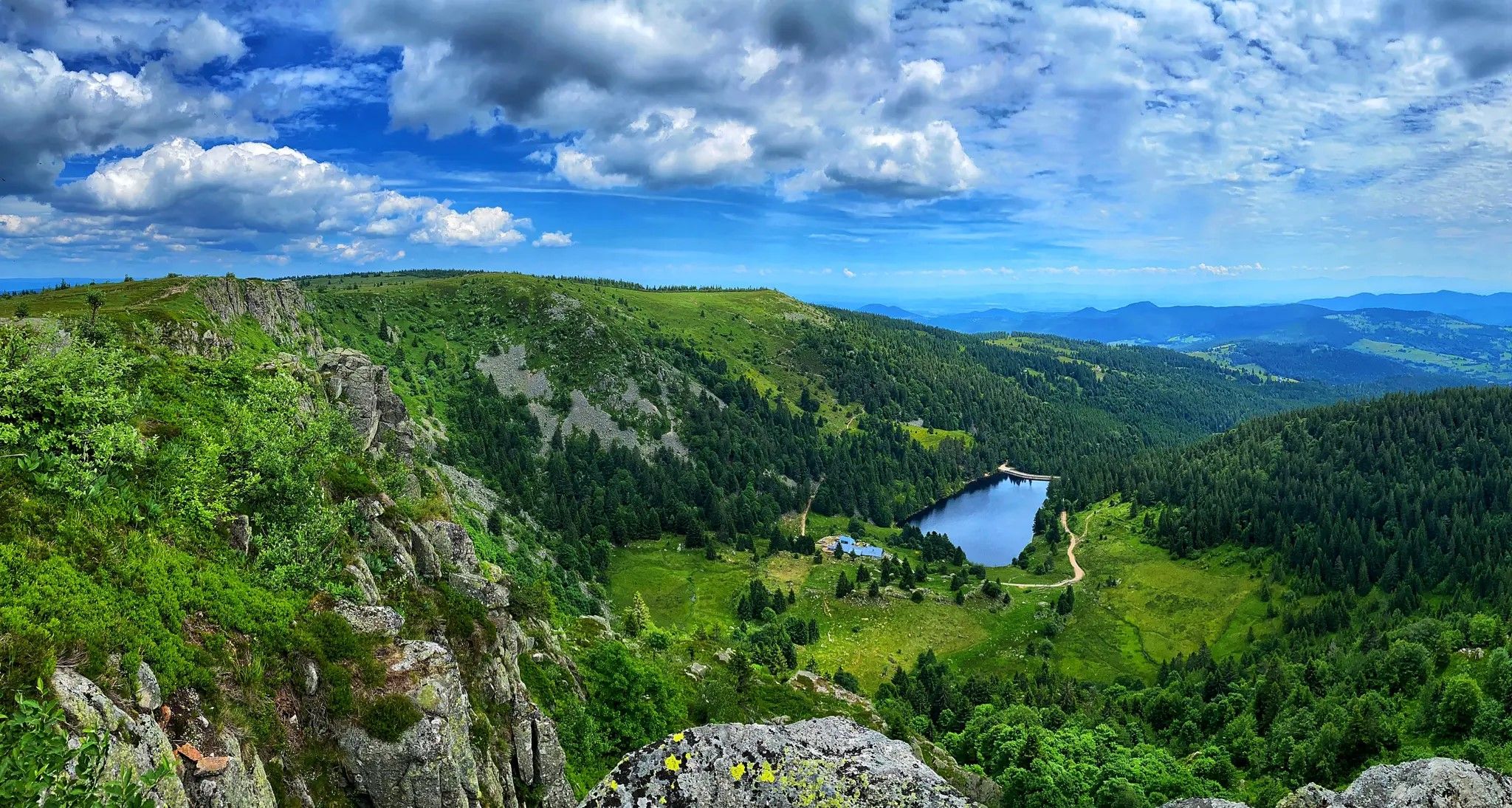
From inn to inn – Tour of Gazon du Faing and the four lakes

From the Vosges to the Jura mountains – Hexatrek, le Grand Est
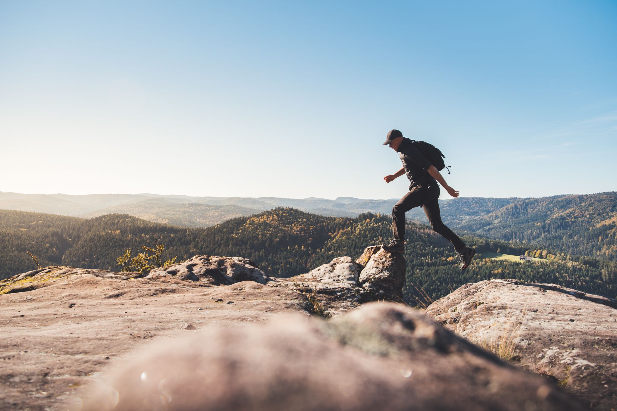
Trail running in the Grand Est – the region's most beautiful hilly trails
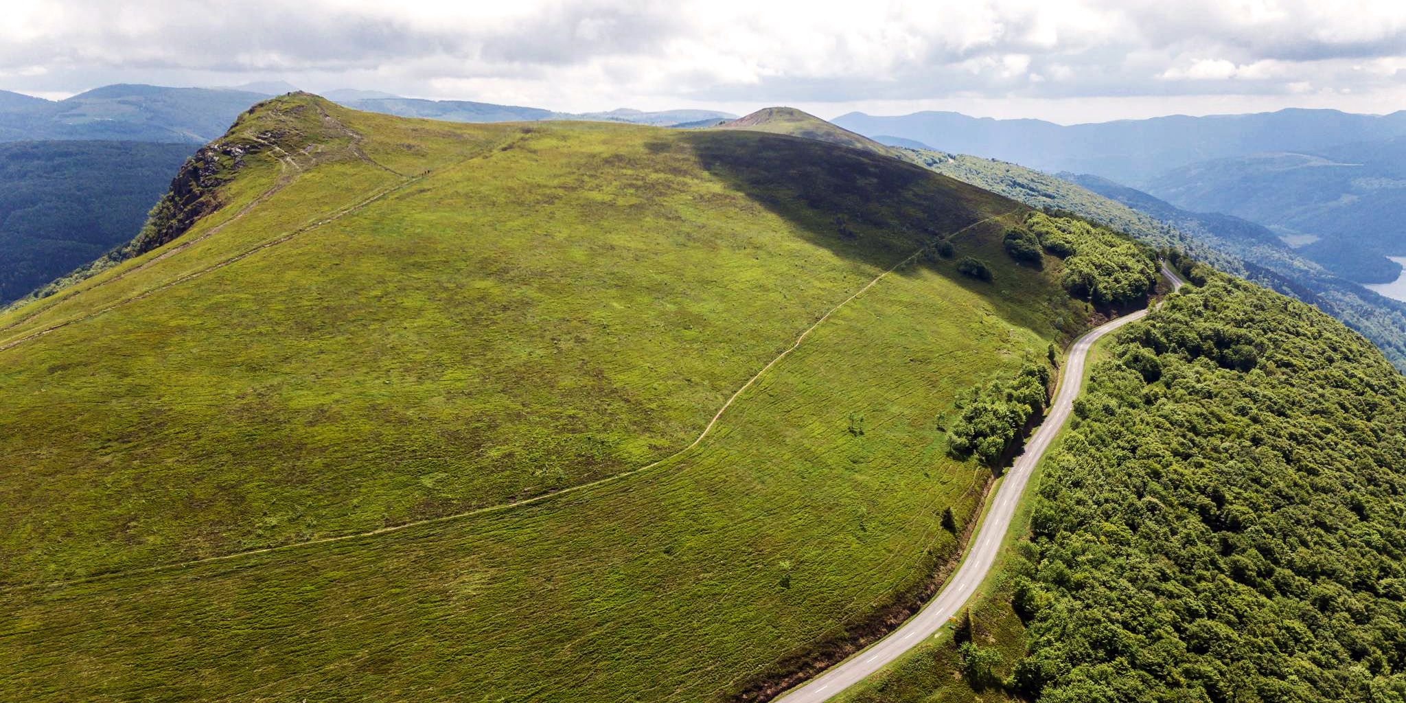
Beautiful passes In the Vosges Mountains
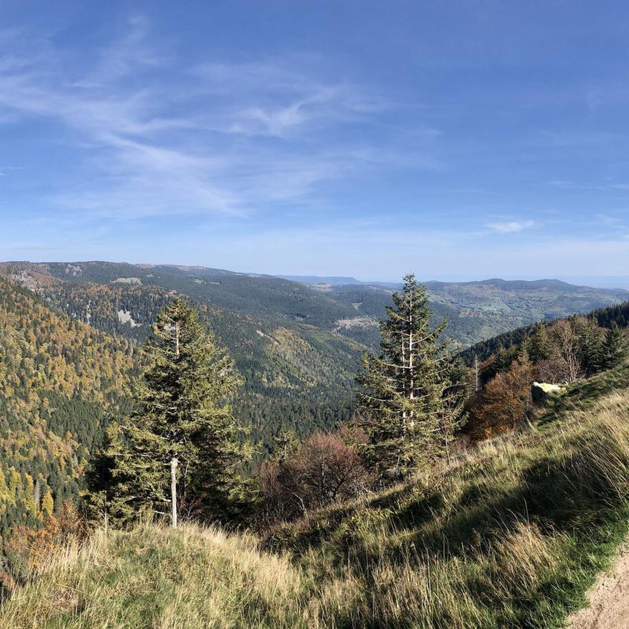
Road Cycling Routes around Stoßweier
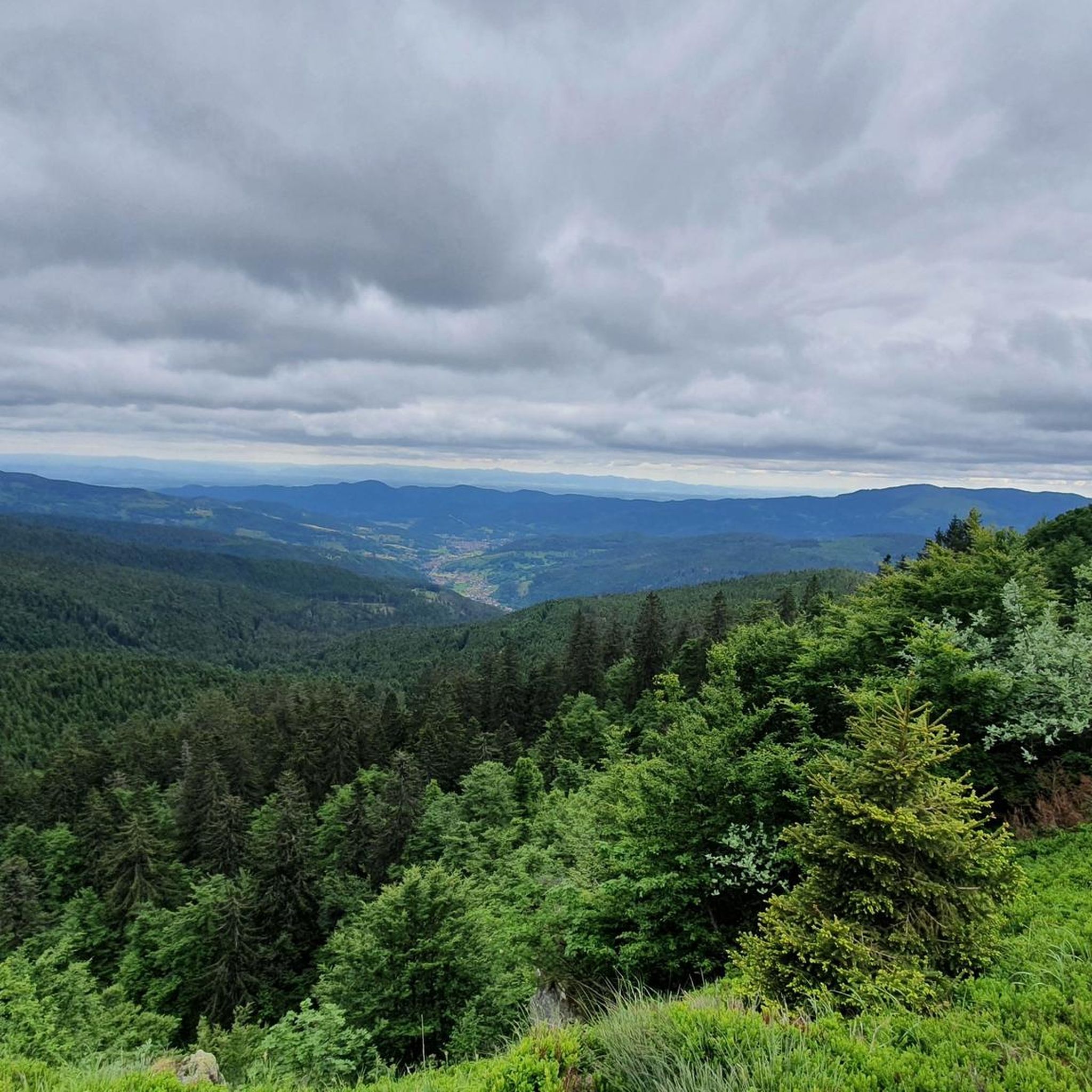
Cycling around Stoßweier
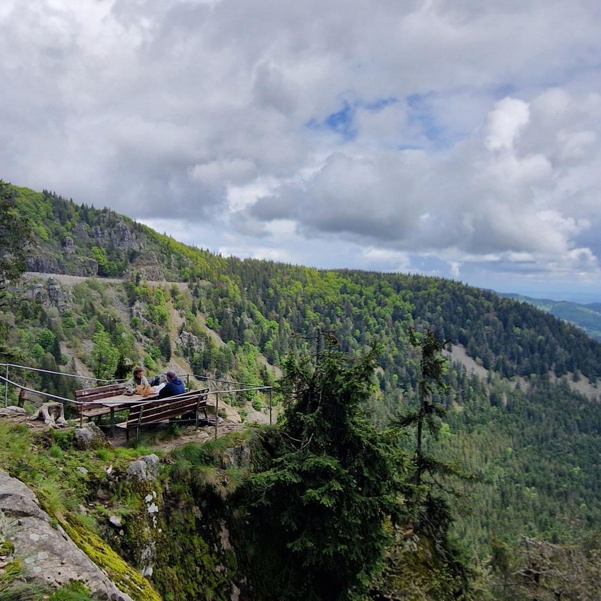
Running Trails around Stoßweier

Gravel biking around Stoßweier
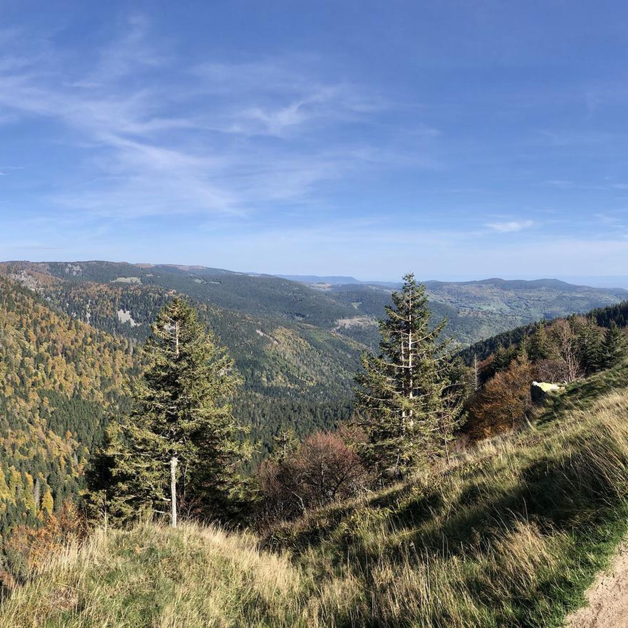
MTB Trails around Stoßweier
Other adventures around Stoßweier


Tips from the Community

The Hohneck (often also written Le Hohneck) is, at 1,363 meters, the third highest mountain in the Vosges and the highest point in the Vosges department. It forms the distinct border between the regions of Alsace and Lorraine and is the absolute heart of the High Vosges.
0
0
The Schaeferthalpass (French: Col du Schaeferthal) is an important mountain pass located at an altitude of 1,224 to 1,228 meters in the High Vosges. It connects the ice-age Frankenthal Valley with the glacial cirque of the Schiessrothried lake and forms a central hub for challenging circular hikes.
0
0

Great summit. A bit overcrowded, as you can drive up by car. There is an inn with delicious beer.
2
0

Just enjoy the beautiful views.
1
0

The trails in the Vosges are awesome.
0
0

It culminates at 1228 meters altitude.
0
0

A rock that you simply must see.. it's a bit exposed but hey.. great view from there
7
0

ATTENTION: Sentier des Roches is closed from 1 November until 30 April.
3
1
Frequently Asked Questions
How many hiking trails are available around Stoßweier?
There are over 100 hiking trails around Stoßweier, offering a wide range of options for all skill levels. The region is part of the Parc naturel régional des Ballons des Vosges, providing diverse landscapes from ancient forests to high-altitude paths.
What kind of hiking difficulties can I expect around Stoßweier?
The trails around Stoßweier cater to various fitness levels. You'll find approximately 15 easy routes, over 50 moderate trails, and around 35 more difficult ascents. This variety ensures options for casual ramblers and experienced hikers alike.
What do other hikers enjoy most about the trails in Stoßweier?
The hiking routes in Stoßweier are highly rated by the komoot community, with an average score of 4.5 stars from over 3,700 reviews. Hikers often praise the panoramic views, the diverse terrain of the Vosges Mountains, and the serene glacial lakes.
Are there any notable natural features or viewpoints to discover while hiking near Stoßweier?
Absolutely. The region is rich in natural beauty. You can hike to the summit of Hohneck for expansive views across the Rhine plain and the Black Forest. The famous Sentier des Roches offers dramatic rocky paths, and you can explore stunning glacial lakes like Lac Blanc and Lac du Forlet.
Can I find trails that feature lakes or water bodies?
Yes, the area around Stoßweier is known for its beautiful glacial lakes. A popular option is the Lac de Schiessrothried — loop from Gaschney, a moderate 5.6-mile (9.0 km) path that circles a scenic glacial lake, providing excellent views of the surrounding mountain landscape.
Are there any challenging rocky trails in the area?
For those seeking a challenge, the region offers trails with rocky sections and significant ascents. The Sentier des Roches – Krappenfels loop from Col de la Schlucht is a 4.1-mile (6.6 km) trail known for its rocky paths and notable rock formations.
Are there family-friendly hiking options around Stoßweier?
Yes, Stoßweier offers several easy routes suitable for families. While specific family-friendly trails are best identified by their 'easy' difficulty rating on komoot, the general landscape of ancient forests and gentle paths provides many opportunities for enjoyable walks with children.
Can I bring my dog on the hiking trails near Stoßweier?
Many trails in the Vosges Mountains and the Parc naturel régional des Ballons des Vosges are dog-friendly, provided dogs are kept on a leash, especially in protected areas or near livestock. It's always recommended to check specific trail regulations before heading out.
Are there circular hiking routes available?
Yes, many of the trails around Stoßweier are designed as loops, allowing you to start and end at the same point. Examples include the challenging The Hirschsteine rocks via the stairs - loop from Valtin and the moderate Hohneck – View of Lake Schiessrothried loop from Gaschney.
What is the best time of year to go hiking in Stoßweier?
The Vosges Mountains offer beautiful hiking experiences throughout much of the year. Spring brings blooming wildflowers, summer provides pleasant temperatures for higher-altitude treks, and autumn showcases stunning fall foliage. Winter hiking is also possible, but requires appropriate gear and awareness of snow conditions, especially at higher elevations.
Are there any gorges or unique geological formations to explore?
Beyond the rocky paths of the Sentier des Roches, the area features interesting geological formations. You can explore highlights like the Wormspel Combe, Dagobert's Cave, and the Goldcrest Gorges, which add another dimension to the hiking experience.
Where can I find more information about hiking in Alsace?
For broader information on hiking opportunities across the Alsace region, you can visit the official tourism website: visit.alsace. This resource provides additional context on the extensive network of marked trails in the area.
Most popular routes around Stoßweier
Most popular attractions around Stoßweier

Get inspired with the komoot mobile app


Explore more
Browse the best Hikes in other regions.
