The 10 Most Amazing Peaks around Châteauneuf-Villevieille
Mountain peaks around Châteauneuf-Villevieille offer access to elevated points in the Alpes-Maritimes department of southeastern France. The commune is situated on the slopes of the Chaine de Férion mountain range, providing a natural environment. The area features diverse mountain terrain, including historical sites and summits with panoramic views. These locations provide opportunities for exploring the local landscape and historical elements.
Best mountain peaks around Châteauneuf-Villevieille
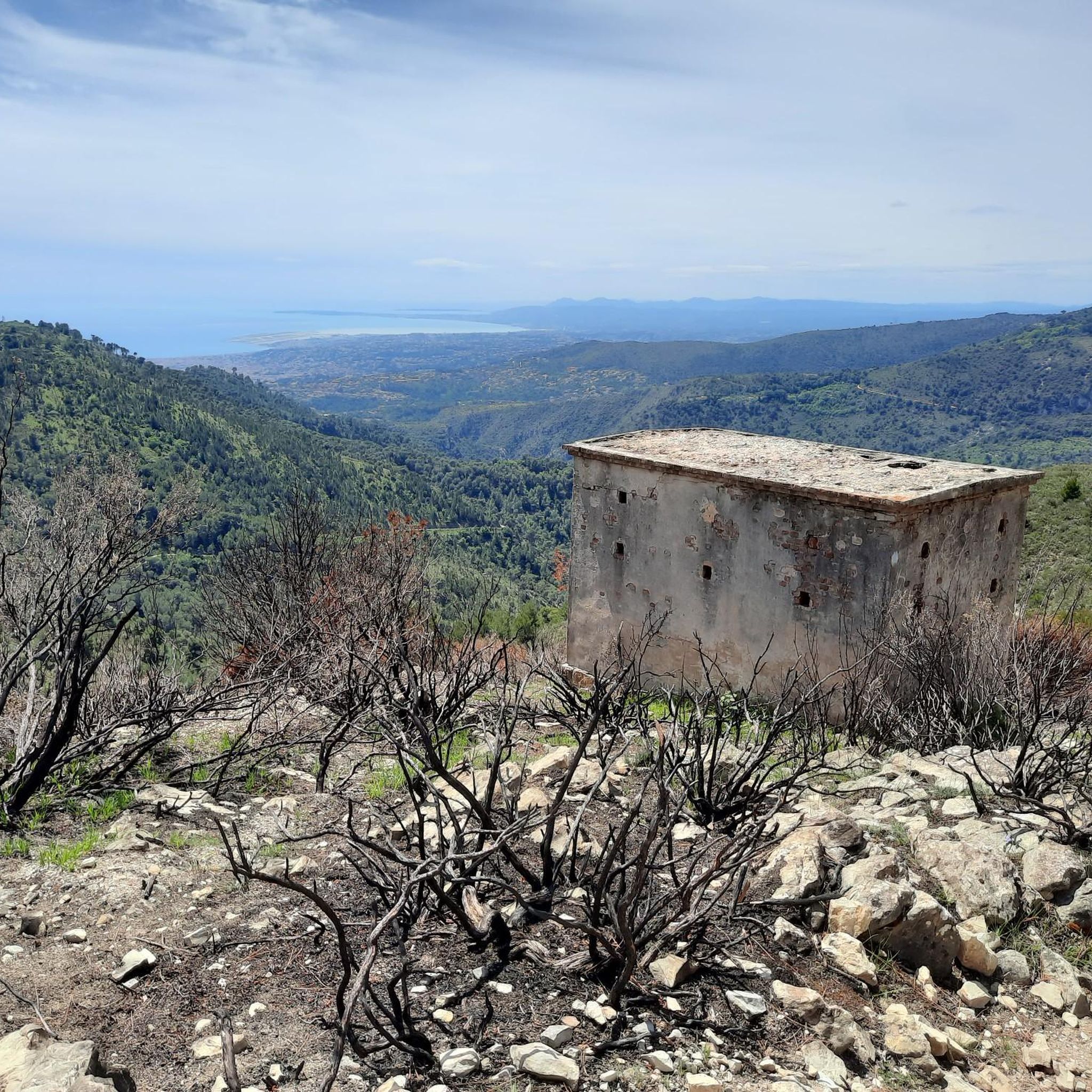
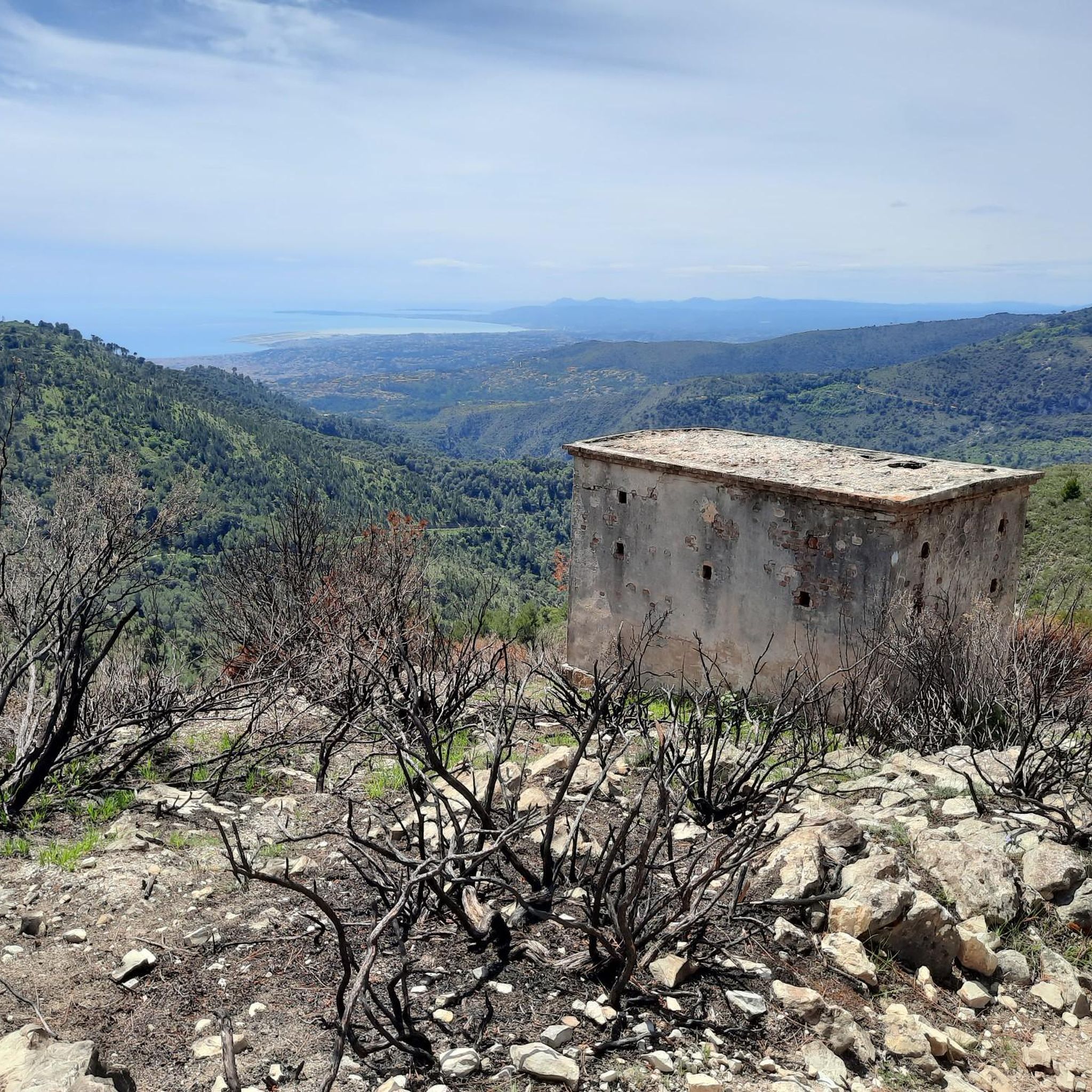
- The most popular mountain peaks is Fort du Mont Alban, a castle that offers…
Last updated: July 28, 2026
Fort du Mont Alban
Highlight • Castle
Translated by Google •
Tip by

Fort du Mont Chauve d'Aspremont
Highlight • Historical Site
Translated by Google •
Tip by

Sign up now to discover places like this
Get recommendations on the best single tracks, peaks, & plenty of other exciting outdoor places.
Sign up for free
Férion Summit
Highlight • Summit
Translated by Google •
Tip by
Mont Bastide Summit and Panoramic View
Highlight • Summit
Translated by Google •
Tip by

Baudon Summit
Highlight • Summit
Translated by Google •
Tip by

Sign up for free to discover even more peaks around Châteauneuf-Villevieille.
Sign up for free
Already have an account?
Start today with a free account
Your next adventure awaits.
Login or Signup
Popular around Châteauneuf-Villevieille
Tips from the Community


It's not easy, and not for children either. But if you're in good shape and don't suffer from vertigo, it's definitely doable!
0
0


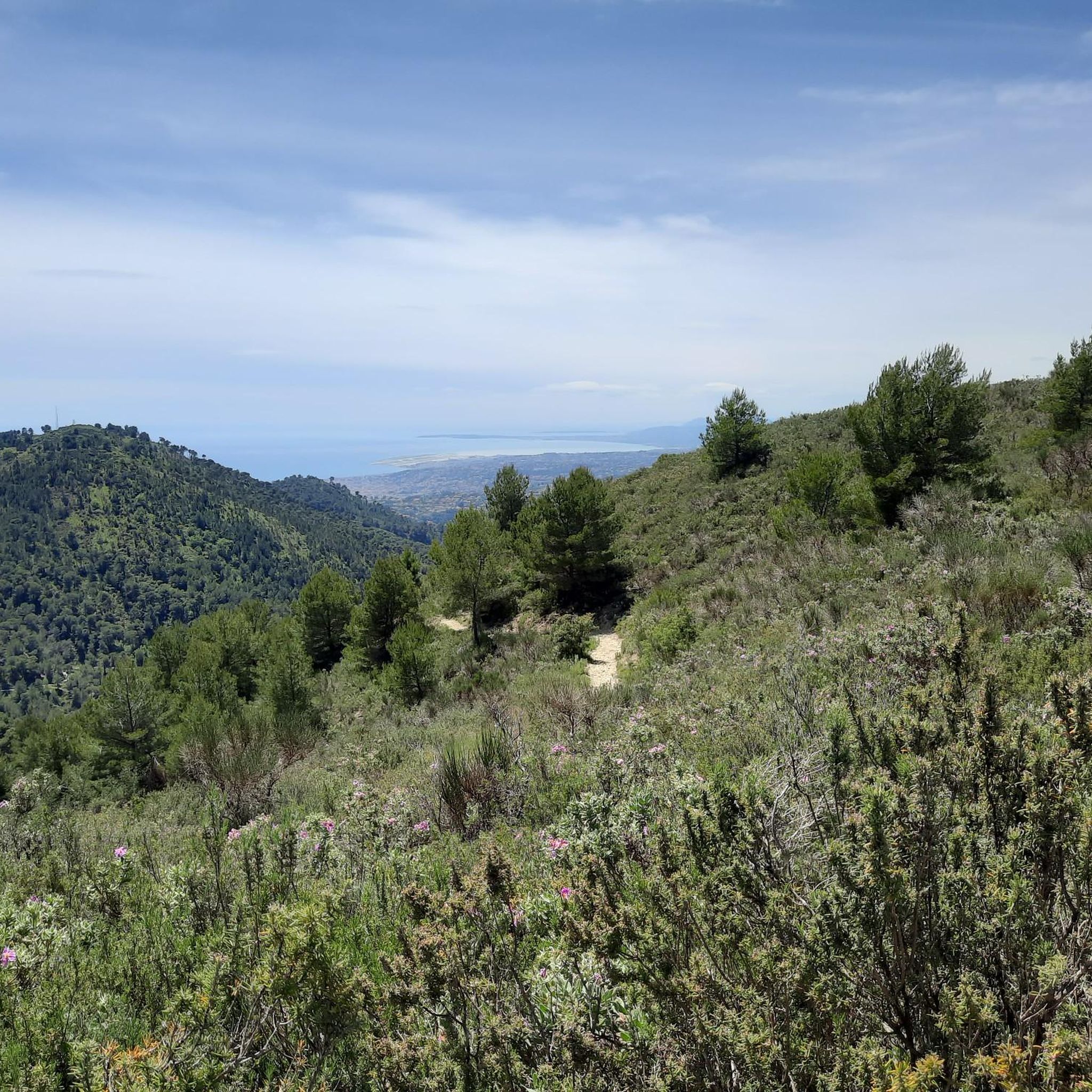
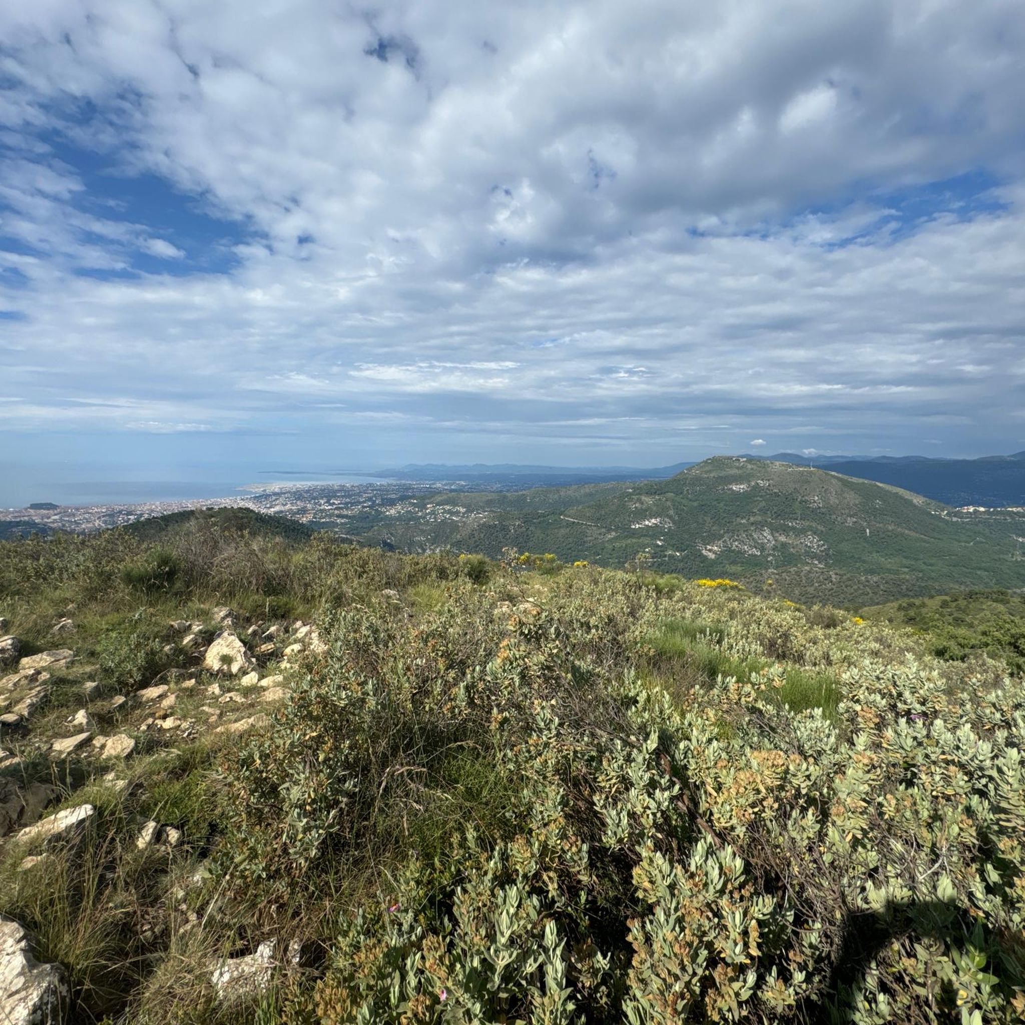
Mont Bastide offers an exceptional panorama of the surrounding area: the Saint-Jean-Cap-Ferrat peninsula, La Turbie, Nice. It rises to an altitude of 570 meters and is a well-known place for residents of the region.
3
0


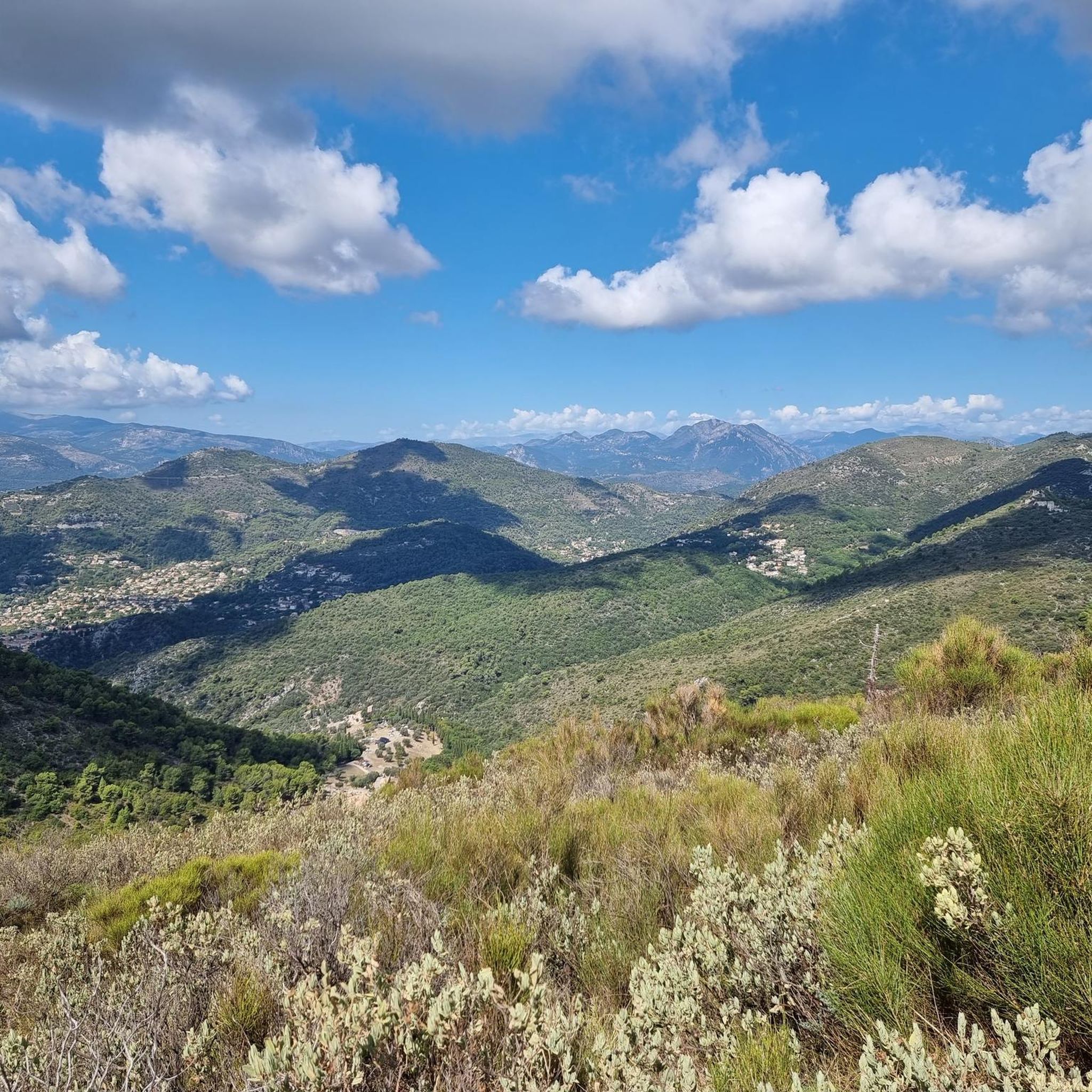
Accessible by gravel (40mm tyres) or by mountain bike, the summit of Mont Férion (1412m) will be your finish line if you are a cyclist in full climb. Your reward will be the panoramic view: from the Alps and the Mercantour, to the Mediterranean, passing through the Paillon valley and the Var valley. You will find a watchtower which serves as a lookout to protect the massifs against fire and even houses a small refuge on the ground floor of the tower with a fireplace to warm walkers in difficulty.
0
0

Wonderful view👍😀🚶🏽
2
0
Frequently Asked Questions
What are the most notable mountain peaks and elevated sites around Châteauneuf-Villevieille?
The region offers several significant peaks and elevated sites. These include Férion Summit, the highest point of the Férion range, and Mont Macaron, which reaches 806 meters. Additionally, the ruins of the old medieval village, perched on a 725-meter high hill, provide incredible panoramic views.
Are there historical sites to explore on the mountain peaks near Châteauneuf-Villevieille?
Yes, the area is rich in history. The ruins of the old medieval village, located on a 725-meter high hill, are remarkably preserved and offer a glimpse into a former feudal castle and houses with vaulted cellars. This site is often included in hikes to Mont Macaron. You can also visit Fort du Mont Alban, a military fortification built in the mid-16th century, and Fort du Mont Chauve d'Aspremont, which features fortifications dominating the port and city of Nice.
What kind of views can I expect from the mountain peaks in this region?
The mountain peaks around Châteauneuf-Villevieille offer diverse and stunning views. From the ruins of the old medieval village, you can see the snow-covered Alps on the horizon, as well as the villages of Tourrettes-Levens and Berre-des-Alpes. Fort du Mont Alban provides beautiful vistas of the old town, the sea, and the bay of Villefranche-sur-Mer. Mont Bastide Summit and Panoramic View offers an exceptional panorama of the Saint-Jean-Cap-Ferrat peninsula, La Turbie, and Nice. From Fort du Mont Chauve d'Aspremont, Corsica can be seen on clear days, alongside views over Nice and the Mediterranean.
Are there hiking trails that combine natural beauty with historical exploration?
Absolutely. A popular moderate loop hike from Châteauneuf-Villevieille to Mont Macaron takes approximately 2 hours and 29 minutes and involves an elevation gain of 240 meters. This route is particularly rewarding as it passes through the ruins of the old medieval village, allowing you to combine natural beauty with historical exploration of protohistoric constructions and Roman vestiges.
What outdoor activities are available near the mountain peaks of Châteauneuf-Villevieille?
Beyond hiking, the area offers various outdoor activities. You can explore numerous routes for gravel biking, including challenging loops like the Braus Pass or Mount Cima. There are also extensive road cycling routes, such as the Col de Turini loop. For runners, several running trails are available, including the Châteauneuf Pass – Mount Macaron loop.
What is the highest point in the Férion range near Châteauneuf-Villevieille?
The highest point in the Férion range is Férion Summit, which reaches an altitude of 1,412 meters. From its top, you can enjoy a 360° panorama stretching from the plain of the Var to the sources of the Paillon, and even the Mediterranean.
Are there any unique geological features in the mountains around Châteauneuf-Villevieille?
Yes, the eastern side of the mountain where the old medieval village ruins are located features several pot-holes, known as avens. One notable example is the Aven de la Peneta, which descends 40 meters.
What are some popular hiking routes for running near Châteauneuf-Villevieille?
For running enthusiasts, popular routes include the challenging Châteauneuf Pass – Mount Macaron loop from Tourrette-Levens (14.4 km) and a moderate version of the same loop from Châteauneuf-Villevieille (6.8 km). Another option is 'The collar loop' from Châteauneuf-Villevieille (12.9 km), which is also considered difficult. You can find more details on running trails around Châteauneuf-Villevieille.
What makes Mont Férion a significant natural area?
Mont Férion is significant for its natural environment, with the commune of Châteauneuf-Villevieille scattered across its slopes, ranging from 234 to 901 meters in altitude. The area boasts 300 hectares of woodland, providing a serene setting for strolls and hikes and offering a true sense of the local landscape and fresh air.
What do visitors appreciate most about the mountain peaks around Châteauneuf-Villevieille?
Visitors frequently highlight the incredible panoramic views from various summits and historical sites. The combination of natural beauty, such as the vast woodlands of Mont Férion, and the rich history found in places like the medieval village ruins and ancient fortifications, is particularly appreciated. The challenging yet rewarding climbs to viewpoints like Fort du Mont Chauve d'Aspremont are also a favorite among those seeking breathtaking vistas.
Are there any mountain peaks offering views of the Mentonnais region?
Yes, Baudon Summit is known as one of the most beautiful spots in the Mentonnais region, particularly above Saint Agnès, offering an exceptional panorama.
Most popular routes around Châteauneuf-Villevieille
Most popular attractions around Châteauneuf-Villevieille

Get inspired with the komoot mobile app


Explore more
See even more amazing summits around Châteauneuf-Villevieille with these guides:
