Châteauneuf-Villevieille
Châteauneuf-Villevieille
The best MTB trails around Châteauneuf-Villevieille
4.2
(418)
3,406
riders
209
rides
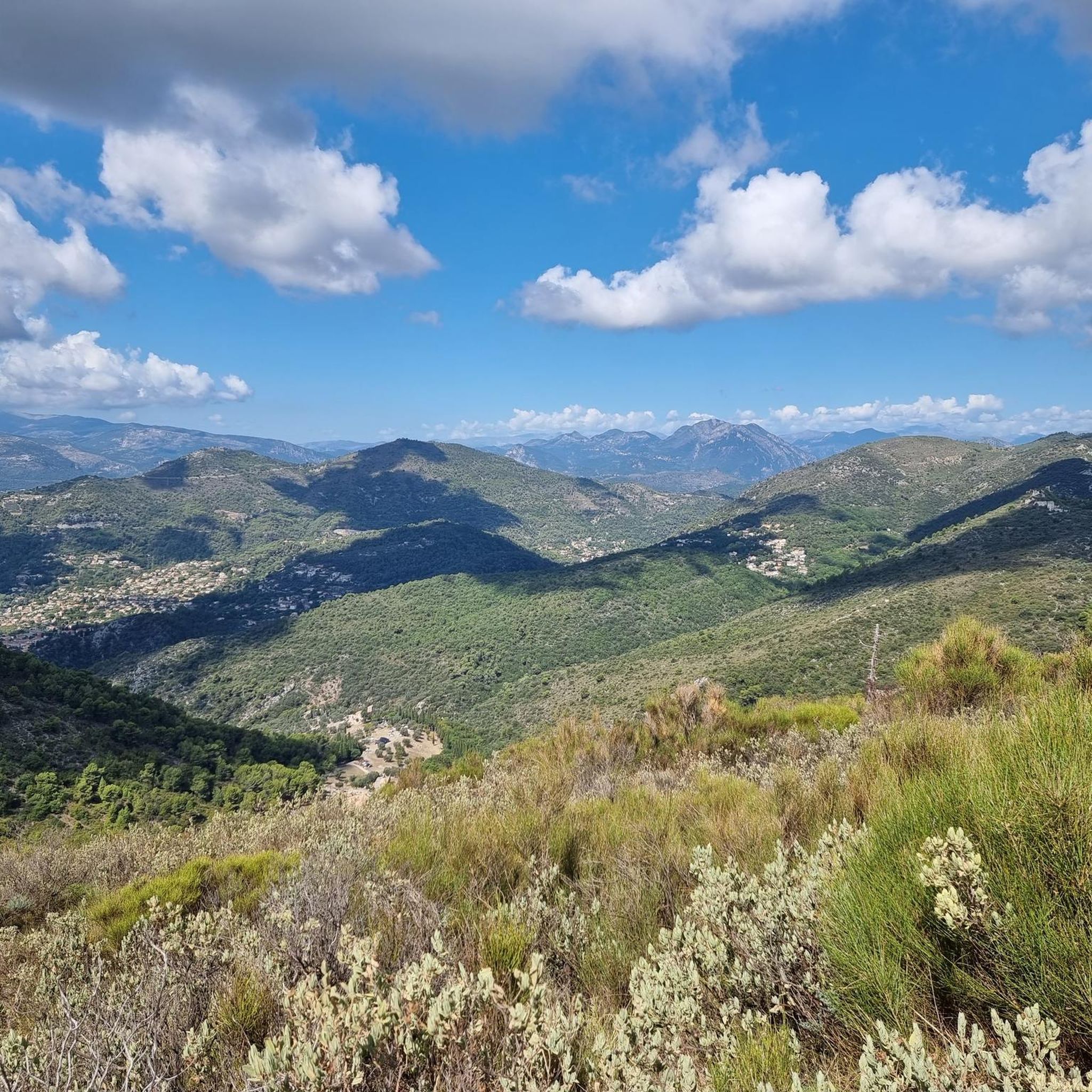
Mountain bike trails around Châteauneuf-Villevieille are situated in the Alpes-Maritimes region, offering diverse landscapes for cycling. The area is characterized by its position on the slopes of Mont Férion, with elevations ranging from 234m to 901m. Riders can expect routes through Mediterranean forests, olive groves, and woodlands, often providing views of the Mediterranean Sea to the south and the Alps to the north. The terrain includes ascents to points like Mont Macaron and passes such as Col de Châteauneuf.
Best…
Last updated: July 27, 2026
4.4
(11)
81
riders
28.8km
03:48
1,330m
1,330m
Hard mountain bike ride. Very good fitness required. Advanced riding skills necessary. Some portions of the route may require you to push your bike.
4.0
(5)
33
riders
24.8km
02:52
920m
920m
Hard mountain bike ride. Very good fitness required. Advanced riding skills necessary.

Sign up for free
4.7
(7)
20
riders
12.0km
01:23
320m
320m
Hard mountain bike ride. Good fitness required. Advanced riding skills necessary. Some portions of the route may require you to push your bike.
18
riders
27.0km
02:45
820m
830m
Moderate mountain bike ride. Good fitness required. Advanced riding skills necessary.
3.0
(1)
14
riders
52.8km
06:27
2,330m
2,330m
Hard mountain bike ride. Very good fitness required. Advanced riding skills necessary. Some portions of the route may require you to push your bike.
Get access to more routes and recommendations from other explorers.
Sign up for free
Already have an account?
Our route recommendations are based on thousands of hikes, rides, and runs completed by other people on komoot.
Start today with a free account
Your next adventure awaits.
Login or Signup
Tips from the Community


Nice gravel climb, the descent is a bit stony.
0
0

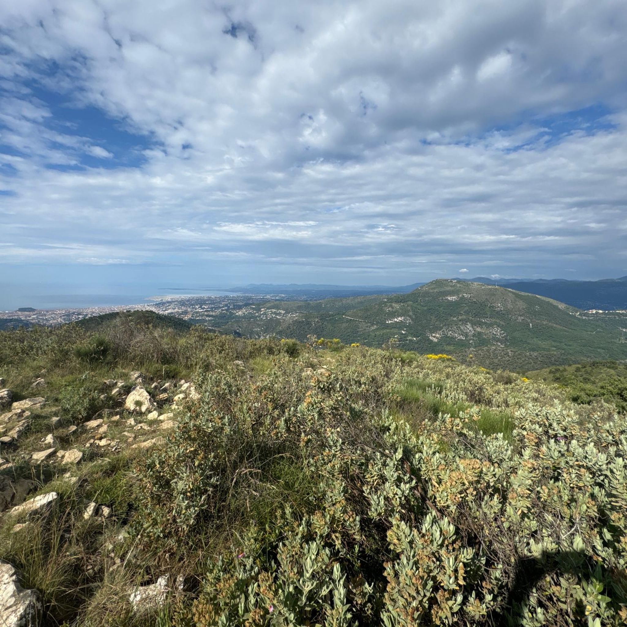
Accessible by gravel (40mm tyres) or by mountain bike, the summit of Mont Férion (1412m) will be your finish line if you are a cyclist in full climb. Your reward will be the panoramic view: from the Alps and the Mercantour, to the Mediterranean, passing through the Paillon valley and the Var valley. You will find a watchtower which serves as a lookout to protect the massifs against fire and even houses a small refuge on the ground floor of the tower with a fireplace to warm walkers in difficulty.
0
0
The watchtower of Mont Férion (1412m), will be your finish line if you are a cyclist in full ascent of Férion. It also serves as a lookout to protect the massifs against fire and even houses a small refuge on the ground floor of the tower with a fireplace to warm walkers in difficulty. The view at the top is panoramic: from the Alps and the Mercantour, to the Mediterranean via the Paillon valley and the Var valley.
0
0
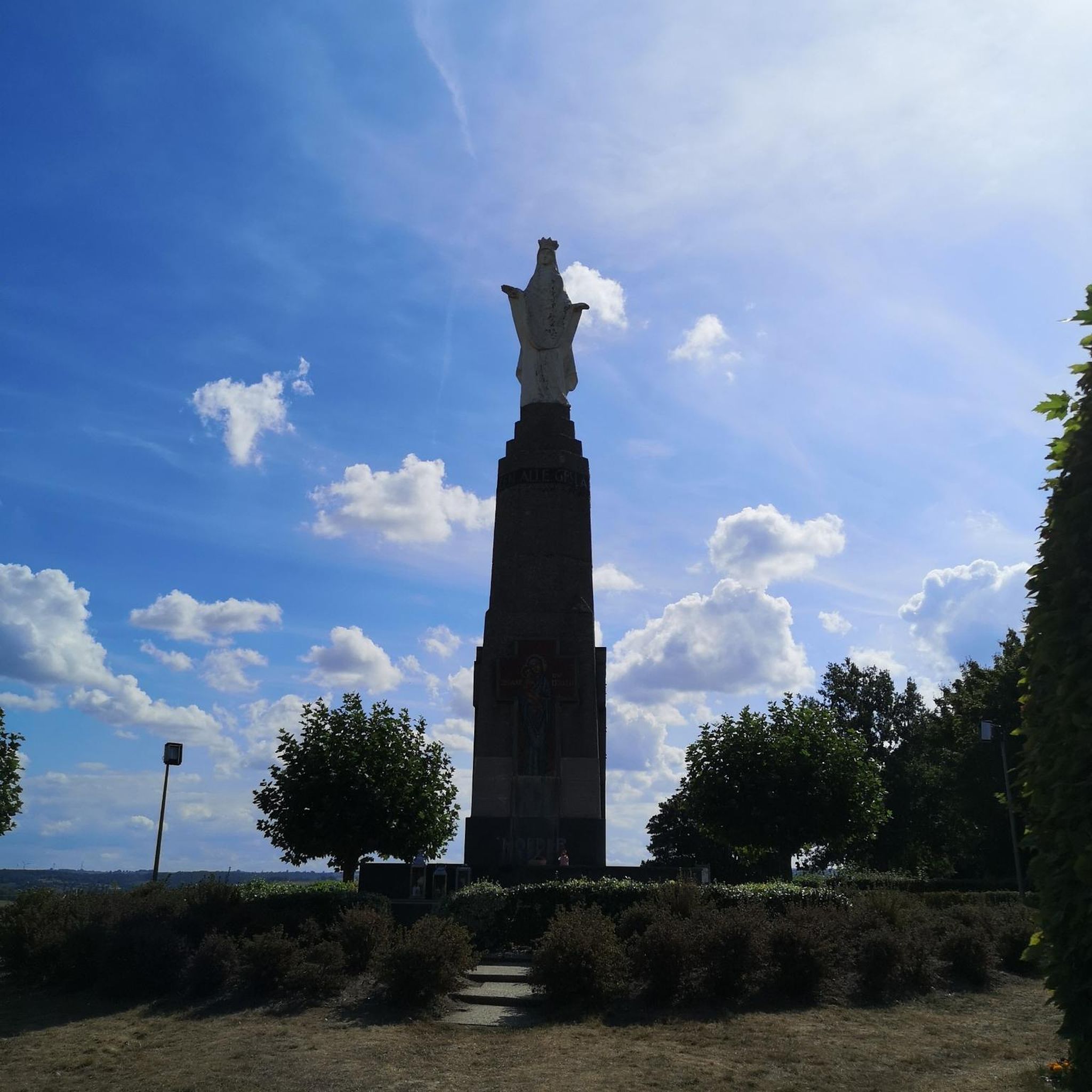
The Saint Michel des Cèdres chapel is worth a look as much for its architecture, for the statue inside as for the avenue of monumental cedars which lead to the chapel. A magnificent place.
1
0
Frequently Asked Questions
How many mountain bike trails are available around Châteauneuf-Villevieille?
There are nearly 200 mountain bike trails around Châteauneuf-Villevieille, offering a wide range of options for different skill levels. The region's diverse landscapes, from Mediterranean forests to higher elevations, provide varied terrain for exploration.
Are there mountain bike trails suitable for beginners or families in Châteauneuf-Villevieille?
Yes, while many routes are moderate to difficult, there are at least 10 easy mountain bike trails available. These trails often wind through picturesque Mediterranean forests and olive groves, providing a pleasant experience for less experienced riders or families.
What kind of scenic views can I expect on mountain bike trails in this region?
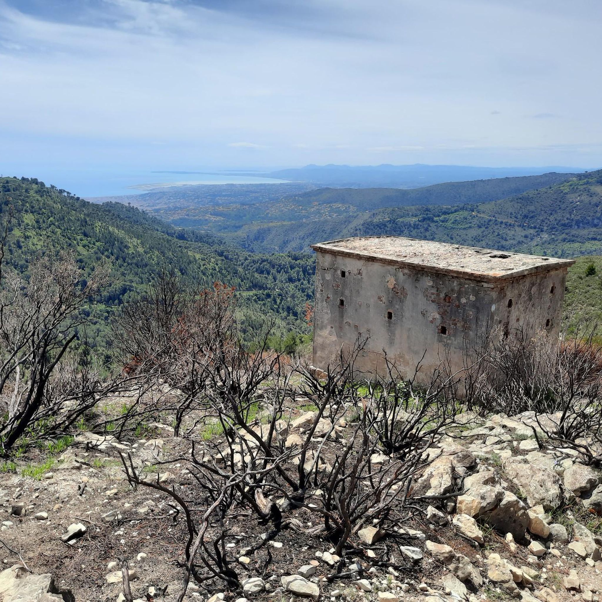
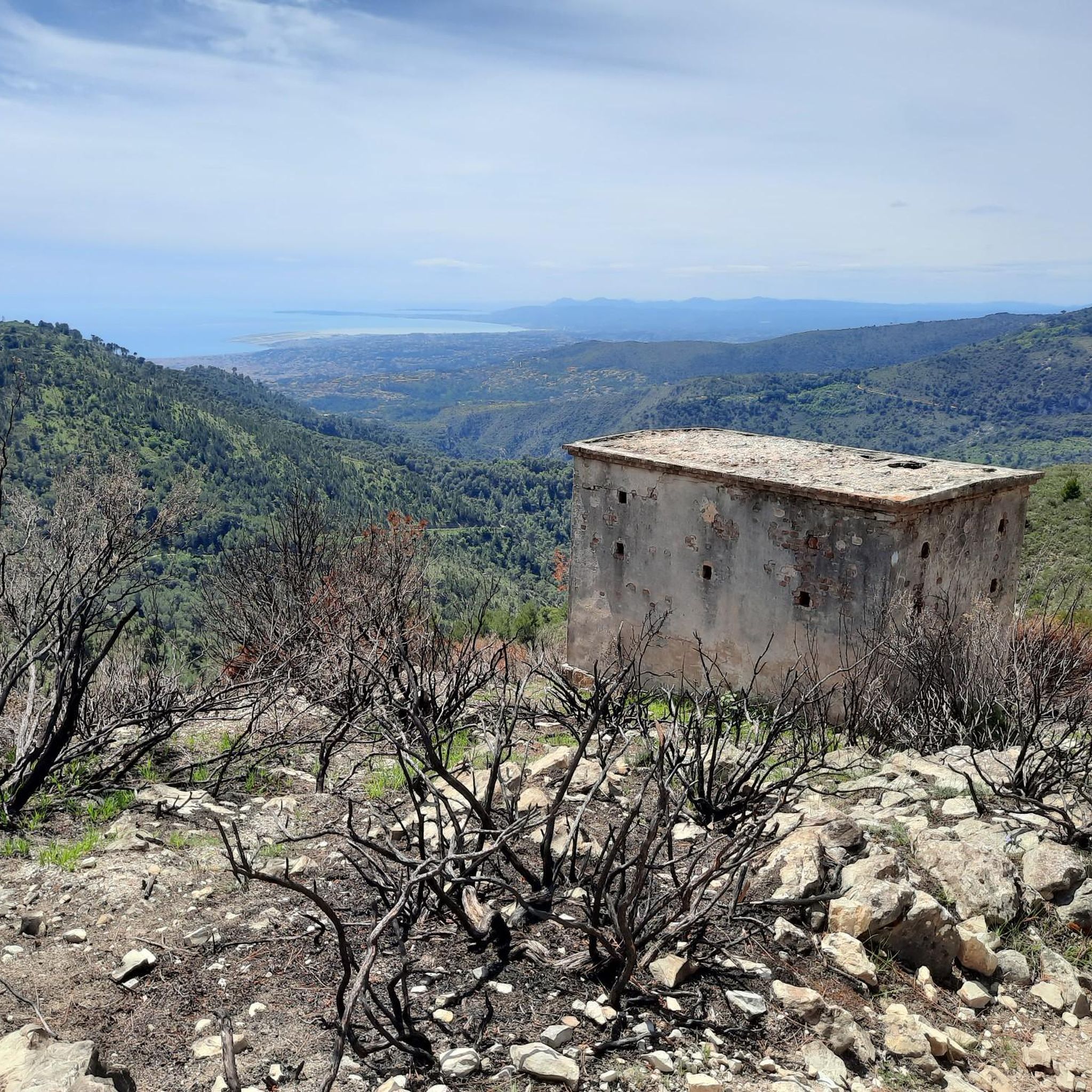
The trails in Châteauneuf-Villevieille offer breathtaking panoramic views. You can often see Nice, the Baie des Anges, and the sparkling Mediterranean Sea to the south, while to the north, the majestic Alps and the Mercantour massif dominate the horizon. Key viewpoints include Mont Macaron and various spots on the slopes of Mont Férion.
Are there any historical sites or landmarks to see while mountain biking?
Yes, the region is rich in history. You can explore the ancient medieval village ruins of Castel Nuovo, which date back to the 9th-12th century. Other notable historical sites and viewpoints include Fort du Mont Alban and Fort du Mont Chauve d'Aspremont, offering glimpses into the past amidst stunning natural beauty.
Can I find mountain bike routes that pass by waterfalls?
Yes, the area around Châteauneuf-Villevieille features several natural water features. You might encounter waterfalls such as Castle Waterfall, Ruisseau de Redebraus, and other smaller cascades, especially during wetter seasons.
Are there circular mountain bike routes available in Châteauneuf-Villevieille?
Many of the mountain bike routes in the area are designed as loops, allowing you to start and finish at the same point. An example is the Châteauneuf Pass – Mount Macaron loop from Châteauneuf-Villevieille, which is a challenging 29.7 km route with significant elevation gain.
What is the best time of year for mountain biking in Châteauneuf-Villevieille?
The region is suitable for mountain biking year-round, thanks to its Mediterranean climate. However, spring and autumn offer particularly pleasant temperatures and vibrant scenery. Summers can be hot, so early morning or late afternoon rides are recommended, while winters are generally mild.
What do other mountain bikers enjoy the most about mountain biking in Châteauneuf-Villevieille?
The area is highly rated by the komoot community, with an average score of 4.2 stars from over 400 reviews. Riders often praise the varied terrain, the stunning panoramic views of both the Mediterranean and the Alps, and the extensive network of trails that cater to different skill levels.
Are there any moderate mountain bike trails for intermediate riders?
Absolutely. There are over 80 moderate mountain bike trails around Châteauneuf-Villevieille. These routes provide a good balance of challenge and enjoyment, often featuring varied terrain and rewarding climbs. An example is the Col de Villevieille – Châteauneuf Pass loop from Châteauneuf-Villevieille, a 28.7 km route with a moderate difficulty rating.
What are some of the more challenging mountain bike routes in the area?
For experienced riders seeking a challenge, there are over 100 difficult mountain bike trails. These routes often involve significant elevation changes and technical sections. A popular choice is the Châteauneuf Pass – Col de Villevieille loop from Tourrette-Levens, a demanding 28.6 km path with varied terrain.
Is it possible to access the mountain bike trails using public transport?
While Châteauneuf-Villevieille is nestled in a natural setting, public transport options from nearby larger towns like Nice are available to reach the general area. However, direct access to specific trailheads might require a short ride or walk from bus stops. It's advisable to check local bus schedules for the most up-to-date information.
Where can I find parking for mountain biking in Châteauneuf-Villevieille?
Parking is generally available in and around the village of Châteauneuf-Villevieille, particularly near the Col de Châteauneuf, which serves as a common starting point for many trails. Specific parking areas may vary depending on your chosen trailhead, so it's good to plan your route in advance.
Most popular routes around Châteauneuf-Villevieille
Most popular attractions around Châteauneuf-Villevieille

Get inspired with the komoot mobile app


Explore more
Browse the best MTB trails in other regions.
