The best running trails around Laviolle
4.3
(33)
946
runners
47
runs
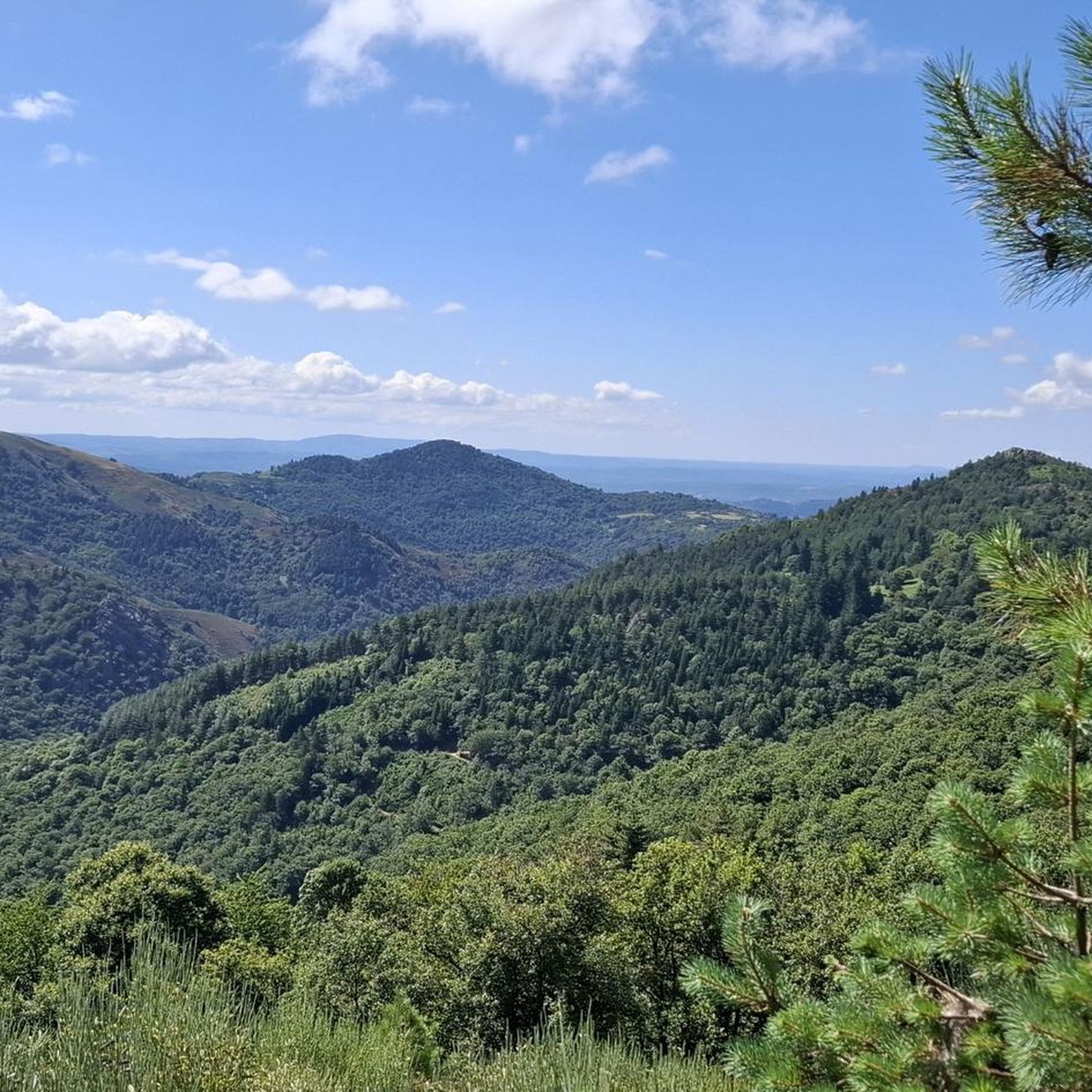
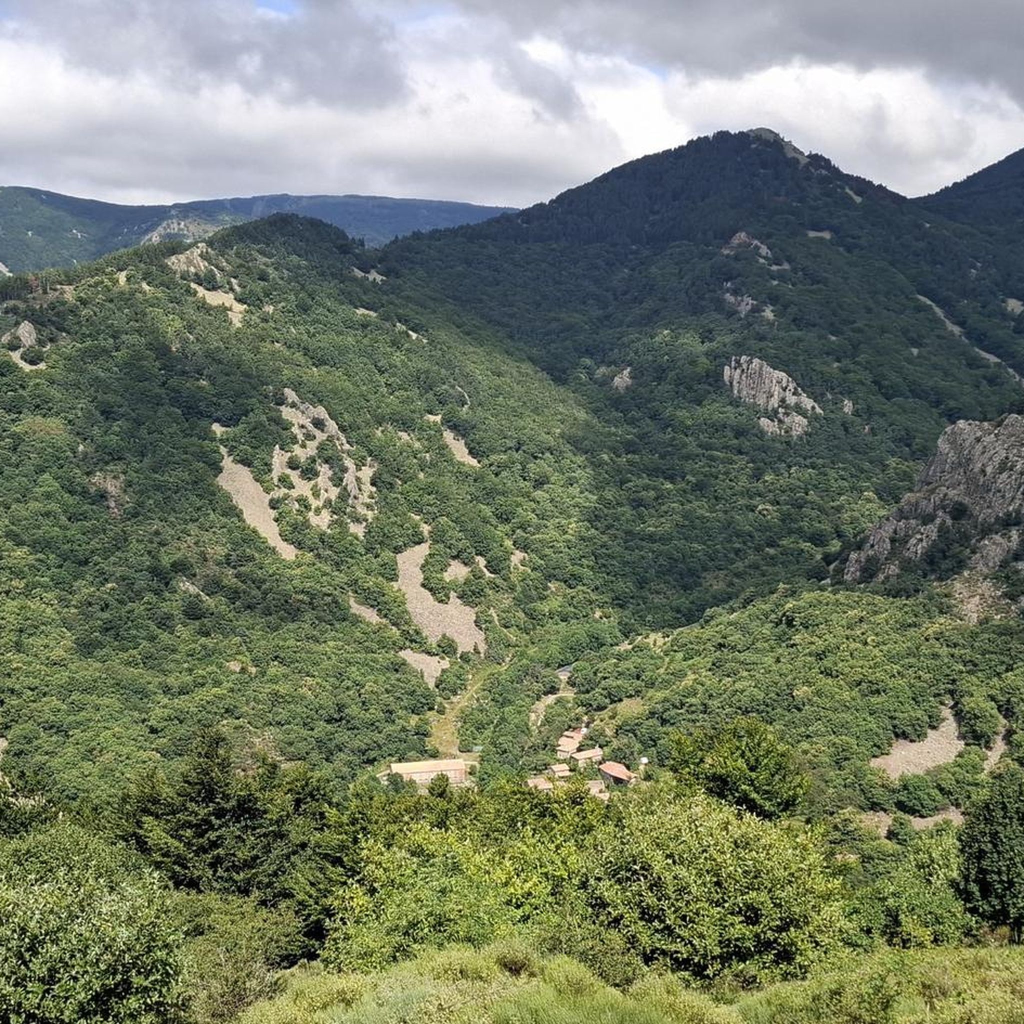
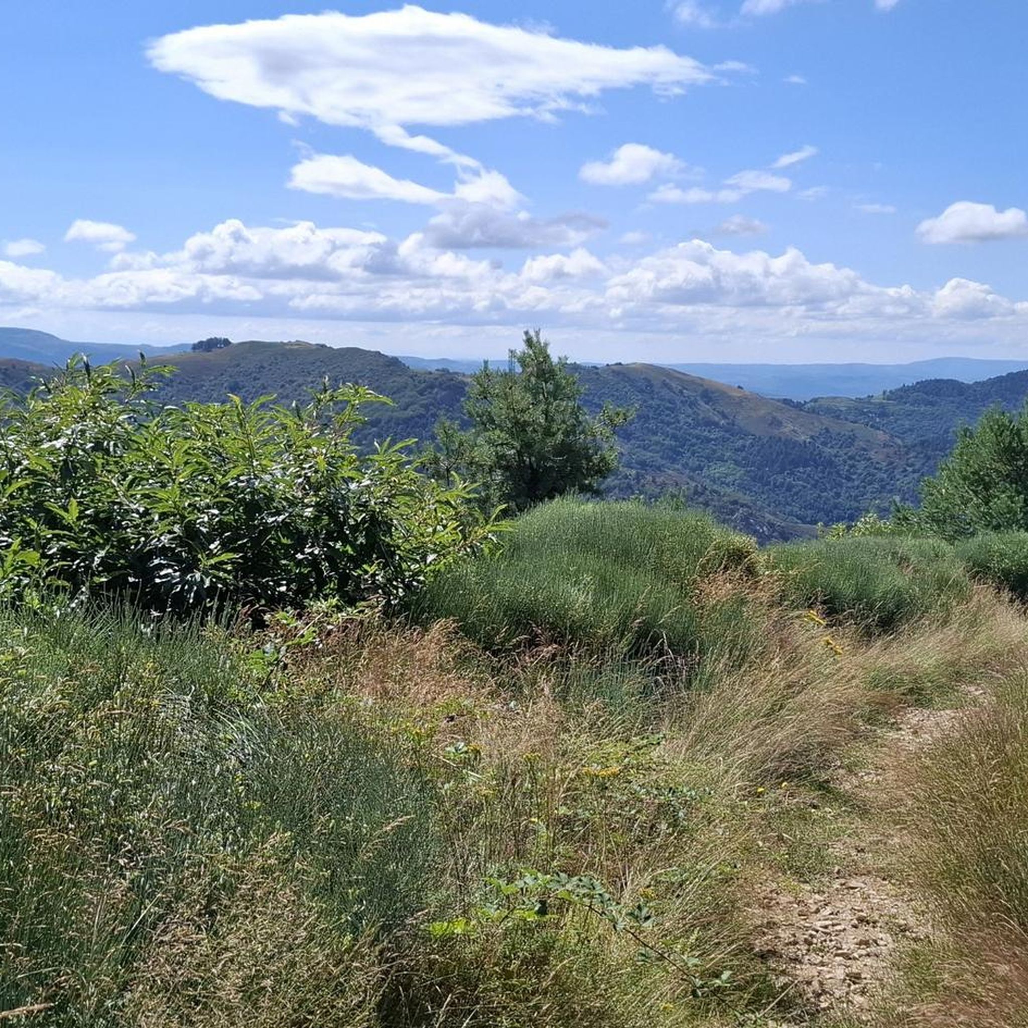
Jogging routes around Laviolle offer diverse terrain within the Parc naturel régional des Monts d'Ardèche, characterized by elevations ranging from 560 to 1,364 meters. The region features the Volane Valley, volcanic landscapes with unique geological formations, and the Bésorgues river. Runners can explore paths through mountain forests and along terraced village areas, providing a mix of gentle and challenging inclines.
Best jogging routes around Laviolle
- The most popular jogging route is Castles of Craux loop from Vallées-d'Antraigues-Asperjoc, a 9.8…
Last updated: October 3, 2026
38
runners
15.7km
01:48
410m
410m
Hard run. Very good fitness required. Mostly paved surfaces. Suitable for all skill levels.
8
runners
12.2km
01:35
380m
390m
Hard run. Very good fitness required. Mostly paved surfaces. Suitable for all skill levels.

5
runners
14.4km
02:06
680m
680m
Hard run. Very good fitness required. Sure-footedness, sturdy shoes and alpine experience required.
5
runners
15.1km
02:01
640m
640m
Hard run. Very good fitness required. Mostly accessible paths. Some sure footedness required.
8
runners
7.79km
00:52
160m
160m
Moderate run. Good fitness required. Mostly paved surfaces. Suitable for all skill levels.
Get access to more routes and recommendations from other explorers.
Already have an account?
Our route recommendations are based on thousands of hikes, rides, and runs completed by other people on komoot.
Start today with a free account
Your next adventure awaits.
Tips from the Community

Small street, no traffic
0
0
Anyone who wants to stop for a bite to eat should stop here. There are few alternatives. A Grand Café Creme and a generous sandwich for 8 euros.
1
1

Pretty mountain village above the Volane.
0
0

The castle is located on the basalt field of the old volcano of Craux and dominates the valleys of Volane and Sandron. The castle was built in the 11th century as a hunting lodge. It was occupied for the last time in 1944 before being bought by the municipality in 1994 and restored.
6
0

The Col de Mézilhac from Le Cheylard is a frequent ascent in the Ardéchoise, a cyclosportive in June. The climb is 22 km long with a total elevation gain of 700 m. The average gradient is 3.18% with maximum gradients of 7.5%.
2
0


Home of Jean Ferrat - the mountain
0
0

Col de Moucheyres from La Bastide-sur-Bésorgues: 4.4Km at 4.5% average
1
0
Frequently Asked Questions
How many running routes are available around Laviolle?
Laviolle offers a diverse selection of over 40 running routes. These trails vary in difficulty, providing options for different fitness levels amidst the stunning landscapes of the Parc naturel régional des Monts d'Ardèche.
What kind of terrain can I expect on jogging trails in Laviolle?
Jogging routes in Laviolle feature highly varied terrain, from gentle paths in the Volane Valley to more challenging inclines in the Ardèche mountains. You'll encounter volcanic landscapes with unique geological formations, paths along the Bésorgues river, and tranquil forest trails, with elevations ranging from 560 to 1,364 meters.
Are there running routes suitable for beginners or those looking for an easy jog?
While many routes around Laviolle are rated as moderate or difficult due to the mountainous terrain, there is at least one easy route available. Additionally, there are 12 moderate options that might suit runners looking for a less strenuous experience compared to the more challenging trails.
Can I find routes with waterfalls or other natural attractions?
Yes, the region is rich in natural beauty. You can find routes that lead to impressive waterfalls like the Ray-Pic Waterfall, which is approximately 6.5 km from Laviolle, or the Pourcheyrolles Waterfall. The trails also often pass through volcanic landscapes and along rivers like the La Volane River.
Are there any circular running routes in Laviolle?
Yes, many of the running trails around Laviolle are circular, allowing you to start and finish at the same point. For example, the Les Palets – Château de Craux loop from Genestelle is a popular circular option, offering a moderate 7.9 km run through forested areas and past historical sites.
What do other runners enjoy most about jogging in Laviolle?
The running routes in Laviolle are highly rated by the komoot community, with an average score of 4.1 stars from over 27 reviews. Runners frequently praise the stunning natural scenery, the varied terrain, and the well-preserved landscapes of the Parc naturel régional des Monts d'Ardèche.
Are there any historical landmarks or castles I can see along the running paths?
Absolutely. The region has several historical points of interest. For instance, the Castles of Craux loop from Vallées-d'Antraigues-Asperjoc takes you past the Castles of Craux. Another notable landmark is the Ventadour Castle, which can be explored in the wider area.
Can I find longer distance running trails for more challenging workouts?
Yes, Laviolle offers several longer and more challenging routes. The Rocher de Faux Fay loop from Labastide-sur-Bésorgues is a difficult 12.8 km trail with significant elevation gain, leading through volcanic landscapes and providing a demanding workout.
Are the running routes in Laviolle suitable for families?
While many routes feature varied elevations and can be challenging, some of the easier or moderate trails might be suitable for families with older children who are accustomed to hiking or running. It's advisable to check the difficulty and elevation profile of specific routes before heading out with younger family members.
What is the best time of year for running in Laviolle?
Laviolle's diverse natural landscapes make it suitable for running across different seasons. Spring and autumn offer pleasant temperatures and vibrant scenery. Summer can be warm, but many routes pass through shaded forests. Winter running is also possible, though conditions may vary with elevation, especially in the higher parts of the Ardèche mountains.
Are there specific routes that highlight the region's volcanic past?
Yes, the volcanic history of the Ardèche is a prominent feature. Routes like the Rocher de Faux Fay loop from Labastide-sur-Bésorgues traverse volcanic landscapes. You can also explore areas near the 'young volcano of Aizac' (Coupe du Volcan d'Aizac) and basaltic flows, which offer unique geological formations for a distinctive running experience.
Is parking generally available near the trailheads in Laviolle?
While specific parking information for every trailhead isn't detailed, Laviolle is a commune geared towards outdoor activities. It's generally possible to find parking in or near the village centers or designated starting points for popular trails. We recommend checking local maps or route descriptions for specific parking suggestions for your chosen running path.
Most popular attractions around Laviolle

Get inspired with the komoot mobile app


Explore more
Browse the best Running Trails & Routes in other regions.
