The best road cycling routes around Laviolle
4.4
(86)
1,988
riders
50
rides
Road cycling around Laviolle offers diverse terrain within the Ardèche mountains of France. Situated at an altitude of 750 meters, the area features preserved landscapes characterized by dramatic topography. Cyclists encounter varied routes overlooking the wild gorges of the Volane river and traversing volcanic features. The region provides a network of roads through river valleys and past geological curiosities.
Best road cycling routes around Laviolle
- The most popular road cycling route is Col de la Fayolle – Col des Pierres de Faux loop from Vallées-d'Antraigues-Asperjoc, a 61.2 miles (98.6 km) trail that takes 5 hours 31 minutes to complete. This difficult route features significant elevation gain through the Ardèche landscape.
- Another top favourite among local road cyclists is Col d'Aizac – Col de Juvinas, Elev. 718 m loop from Vallées-d'Antraigues-Asperjoc, a moderate 25.0 miles (40.3 km) path. This route includes climbs to notable cols and offers views of the surrounding valleys.
- Local road cyclists also love the Lachamp-Raphaël – Col de Mézilhac (1,119 m) loop from Lachamp-Raphaël, a 36.5 miles (58.8 km) trail leading through mountainous terrain, often completed in about 3 hours 15 minutes.
- Road cycling around Laviolle is defined by mountainous climbs, river valleys, and volcanic landscapes. The network offers options for moderate to difficult ability levels, catering to experienced road cyclists.
- The routes in Laviolle are highly rated by the komoot community with an average score of 4.6 stars from over 70 reviews. Nearly 2,000 road cyclists have used komoot to explore Laviolle's varied terrain.
Last updated: August 11, 2026
5.0
(2)
88
riders
58.6km
03:13
1,240m
1,240m
Hard road ride. Very good fitness required. Mostly well-paved surfaces and easy to ride.
5.0
(2)
71
riders
73.0km
04:05
1,630m
1,630m
Hard road ride. Very good fitness required. Some segments of this route may be unpaved and difficult to ride.

Sign up for free
4.8
(4)
142
riders
51.9km
02:51
900m
900m
Hard road ride. Very good fitness required. Some segments of this route may be unpaved and difficult to ride.
5.0
(4)
86
riders
Moderate road ride. Good fitness required. Mostly well-paved surfaces and easy to ride.
2.5
(2)
55
riders
67.9km
03:33
1,230m
1,230m
Hard road ride. Very good fitness required. Mostly well-paved surfaces and easy to ride.
Get access to more routes and recommendations from other explorers.
Sign up for free
Already have an account?
Our route recommendations are based on thousands of hikes, rides, and runs completed by other people on komoot.
Start today with a free account
Your next adventure awaits.
Login or Signup
Tips from the Community

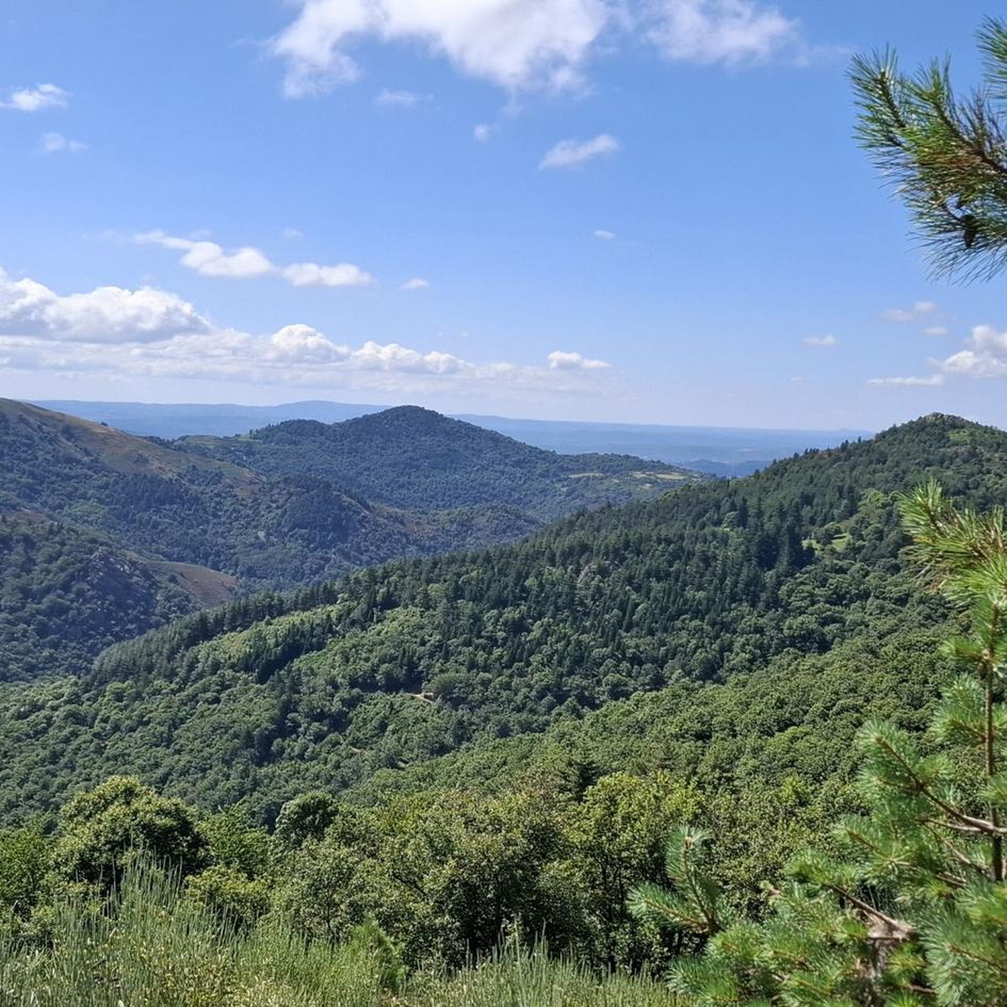
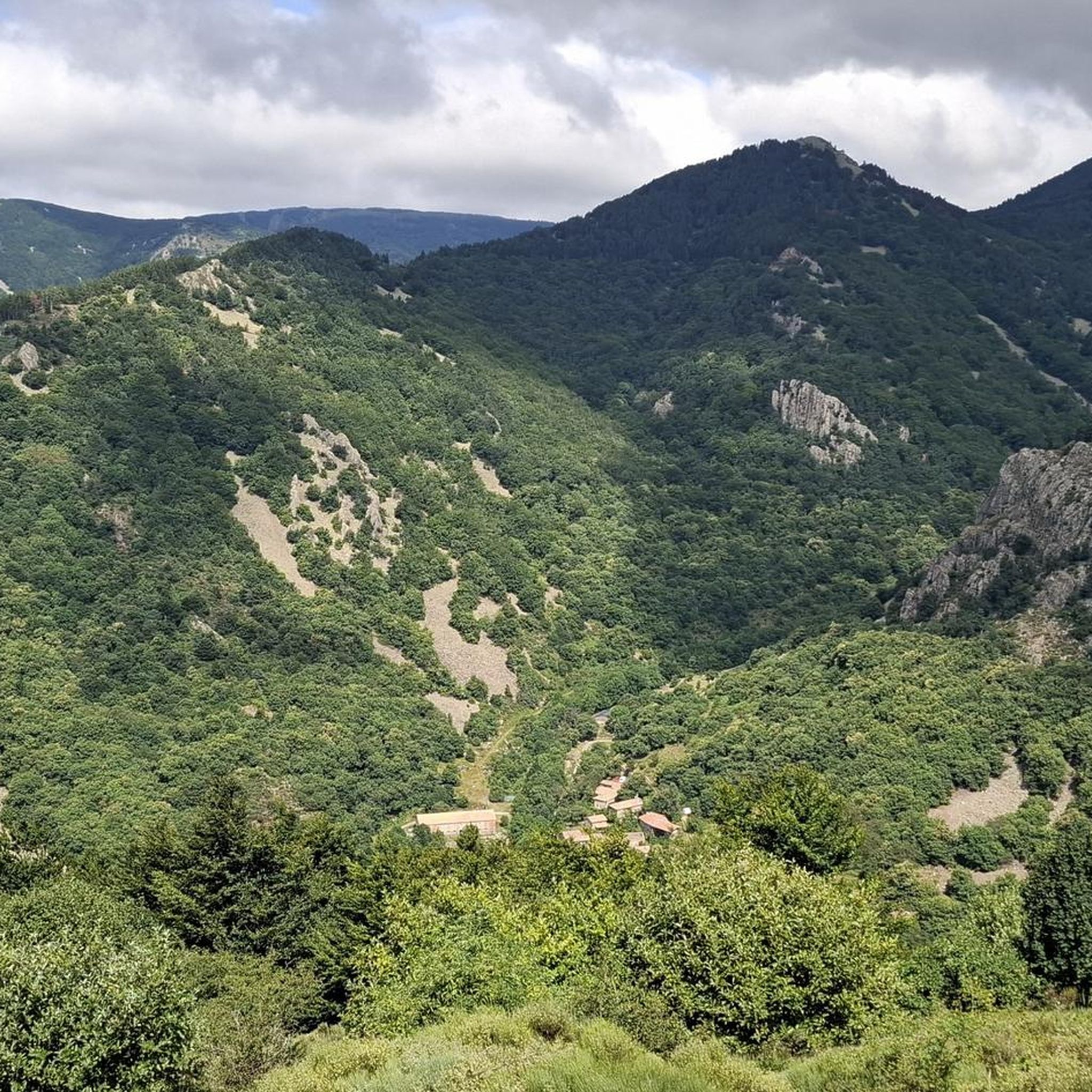
Col du Montivernoux 1320m. Suc de Montivernoux The legend tells that there were once three very pious shepherds from the same family. One lived in Soutron, the other in Lachamp-Raphaël, and the last in Saint-Andéol-de-Fourchades. They communicated using fires lit during the night. One night, there was no fire in Soutron. The next day, the shepherd was found dead on the rock. To celebrate his exemplary life, the inhabitants of the region built a small chapel on the rock. https://lachamp-raphael.fr/histoire-et-patrimoine/suc-de-montivernoux/
0
0
Located at an altitude of 1,330 meters, Lachamp-Raphaël is the highest village in the Ardèche. Dominated by the Montivernoux peak, the village offers exceptional panoramic views of the Alps and the Ardèche mountains. https://lachamp-raphael.fr/
0
0

Small street, no traffic
0
0
Anyone who wants to stop for a bite to eat should stop here. There are few alternatives. A Grand Café Creme and a generous sandwich for 8 euros.
1
1
In the eastern foothills of the Massif Central, in a harsh climate, at an altitude of 1,380 meters, this former 17th-century farmhouse, built like a fortress in the heart of a windswept plateau, is now a must-see attraction located 3 kilometers from Mont Gerbier-de-Jonc. You'll admire its typical architecture, its 900 m² of phonolite slate roof (local volcanic slabs), its upside-down ship-shaped framework, and its impressive volumes (50 meters long and 10 meters wide). https://www.bourlatier.fr/FR/home.html
1
0

Cafe de la Place has good coffee and just down the main street on the left is a good Boulangerie.
0
0

Frequently Asked Questions
How many road cycling routes are available around Laviolle?
There are over 45 road cycling routes around Laviolle. The majority of these routes are categorized as moderate or difficult, offering a challenge for experienced cyclists.
What kind of terrain can I expect when road cycling near Laviolle?
Road cycling around Laviolle features diverse and dramatic terrain within the Ardèche mountains. You'll encounter routes overlooking the wild gorges of the Volane river, traverse volcanic landscapes, and climb to notable cols like the Col de Mézilhac (1,119 m). The area is characterized by river valleys and geological curiosities, providing varied and scenic rides.
Are there any family-friendly road cycling options in the Laviolle area?
While the immediate routes around Laviolle are mostly moderate to difficult, the wider Ardèche region offers excellent family-friendly options. The Dolce Via, a 90 km greenway built on a former railway line, provides an easy and secure path with gentle slopes, ideal for a relaxed cycling experience through preserved landscapes. You can find more information about it here: Dolce Via.
What are some scenic viewpoints or natural attractions I can see along the road cycling routes?
The region around Laviolle is rich in natural beauty. You can encounter breathtaking views over the Volane Valley and explore volcanic landscapes. Notable natural attractions include the stunning Ray-Pic Waterfall and the Source de Loire. Many routes offer expansive views of the Tanargue massif and other geological curiosities.
Are there any loop road cycling trails around Laviolle?
Yes, many road cycling routes around Laviolle are designed as loops. For example, the difficult Col de la Fayolle – Col des Pierres de Faux loop from Vallées-d'Antraigues-Asperjoc and the moderate Col d'Aizac – Col de Juvinas, Elev. 718 m loop from Vallées-d'Antraigues-Asperjoc are popular circular options that allow you to start and finish in the same location.
What is the best time of year for road cycling in Laviolle?
The Ardèche region, including Laviolle, is generally pleasant for road cycling from spring through autumn. Spring offers lush greenery and moderate temperatures, while autumn provides vibrant foliage. Summer can be warm, but the altitude of Laviolle (750 meters) and the presence of river valleys like the Volane can offer some respite from the heat.
What do other road cyclists enjoy most about road cycling in Laviolle?
The area is highly rated by the komoot community, with an average score of 4.6 stars from over 70 reviews. Cyclists often praise the challenging mountainous climbs, the stunning views of river valleys and volcanic landscapes, and the preserved natural beauty of the Ardèche mountains.
Are there any historical landmarks or castles to see along the routes?
Yes, the region offers historical points of interest. For example, the Ventadour Castle is a notable landmark in the vicinity. You may also encounter other charming villages and cultural sites that showcase the region's heritage.
Where can I find parking for road cycling routes near Laviolle?
Parking is generally available in and around the villages that serve as starting points for many routes, such as Laviolle itself or nearby Vallées-d'Antraigues-Asperjoc and Lachamp-Raphaël. Specific parking details can often be found on individual route descriptions on komoot.
Are there any long-distance cycling routes that pass through or near Laviolle?
While Laviolle itself is a base for local loops, the broader Ardèche department is home to significant long-distance routes. The ViaRhôna offers extensive cycling opportunities along the Rhône River, and the Dolce Via (mentioned previously) is a popular greenway for more relaxed, longer rides through the Eyrieux Valley.
Are there any routes that include a climb to Col de Mézilhac?
Yes, the Lachamp-Raphaël – Col de Mézilhac (1,119 m) loop from Lachamp-Raphaël is a popular 58.8 km trail that specifically includes the challenging climb to Col de Mézilhac. Another difficult option is the Col de Mézilhac Ascent – Col de Genestelle (648 m) loop from Laviolle, which also features this iconic climb.
Most popular attractions around Laviolle

Get inspired with the komoot mobile app


Explore more
Browse the best Road cycling routes in other regions.
