The best walks and hikes around Laviolle
4.4
(672)
3,195
hikers
143
hikes
Hiking around Laviolle, located in the Parc naturel régional des Monts d'Ardèche, offers diverse terrain for outdoor exploration. The region is characterized by its volcanic landscapes, river valleys, and dense forests. Trails often feature elevation changes, leading through varied natural environments.
Best hiking trails around Laviolle
- The most popular hiking route is Cascade La Pissarelle – loop in the Parc naturel régional des Monts d'Ardèche, a 8.2 miles (13.2 km) trail that takes 4 hours 32 minutes to complete.…
Last updated: August 4, 2026
4.6
(31)
88
hikers
Moderate hike. Good fitness required. Easily-accessible paths. Suitable for all skill levels.
4.6
(27)
112
hikers
Moderate hike. Good fitness required. Easily-accessible paths. Suitable for all skill levels.

Sign up for free
4.6
(29)
79
hikers
12.5km
04:22
680m
680m
Moderate hike. Good fitness required. Easily-accessible paths. Suitable for all skill levels.
3.9
(13)
34
hikers
8.16km
02:33
300m
300m
Moderate hike. Good fitness required. Easily-accessible paths. Suitable for all skill levels.
5.0
(7)
29
hikers
13.2km
04:24
630m
630m
Moderate hike. Good fitness required. Easily-accessible paths. Suitable for all skill levels.
Get access to more routes and recommendations from other explorers.
Sign up for free
Already have an account?
Our route recommendations are based on thousands of hikes, rides, and runs completed by other people on komoot.
Start today with a free account
Your next adventure awaits.
Login or Signup
Tips from the Community

A 2014 municipal decree prohibits access due to falling rocks. We had to turn back. A big disappointment.
1
0

La Volane is one of the prettiest rivers in the Ardèche. Here, you can take a short break, lying by the water, and cool off in the clear water.
1
0
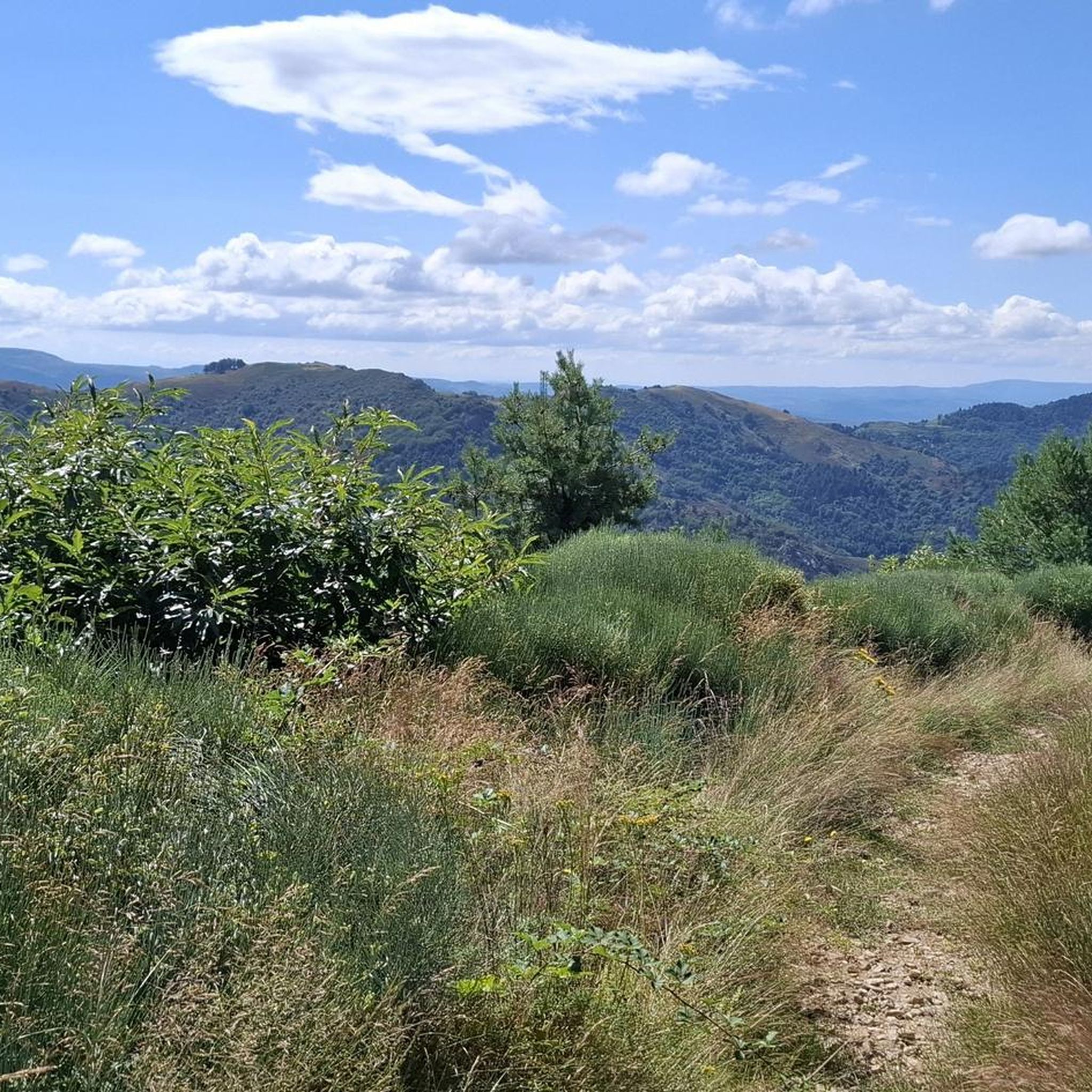
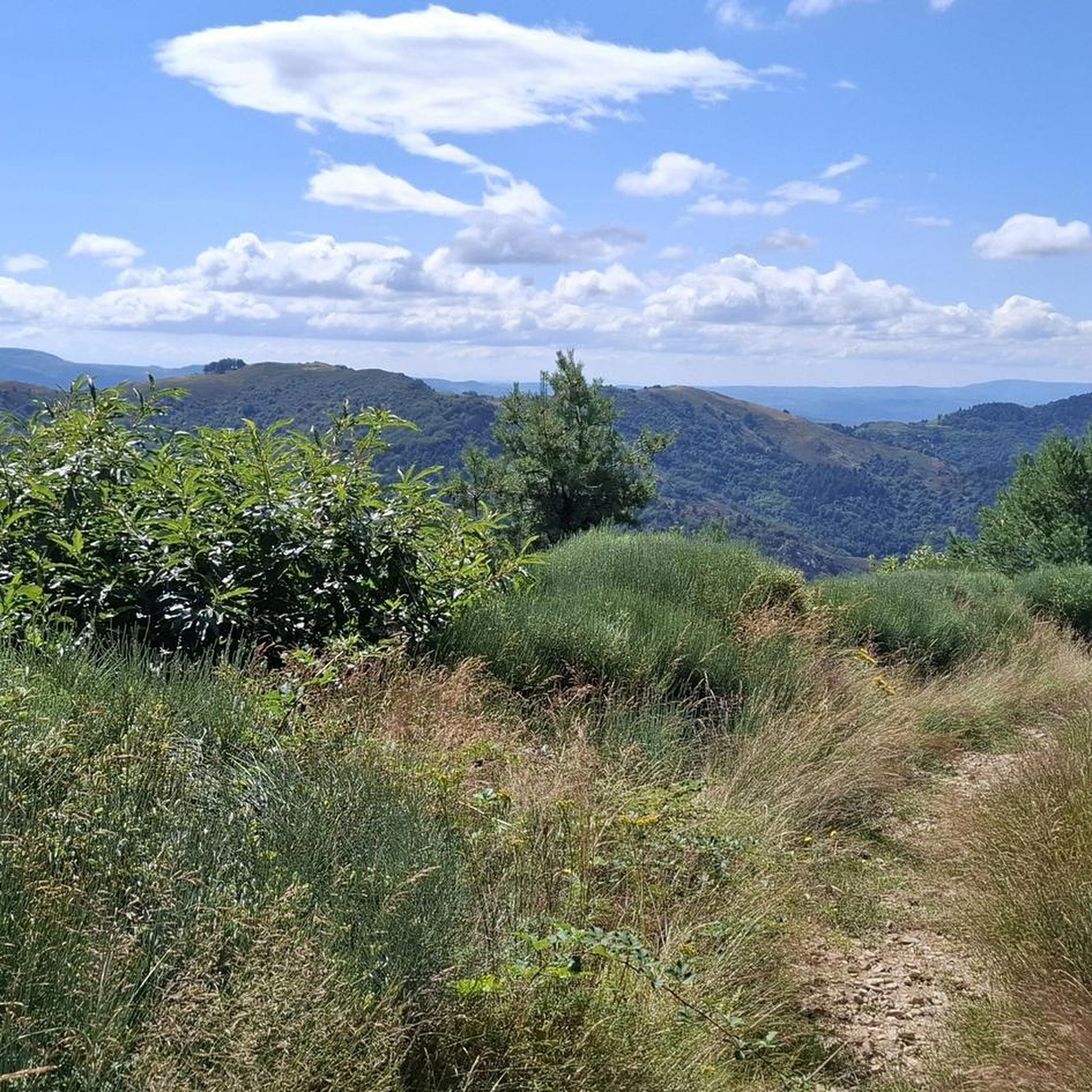
It is undoubtedly one of the prettiest viewpoints over the Volane Valley: the wonderful Cévennes of Ardèche with its volcanoes, its terraced agriculture and its wild rivers.
0
0
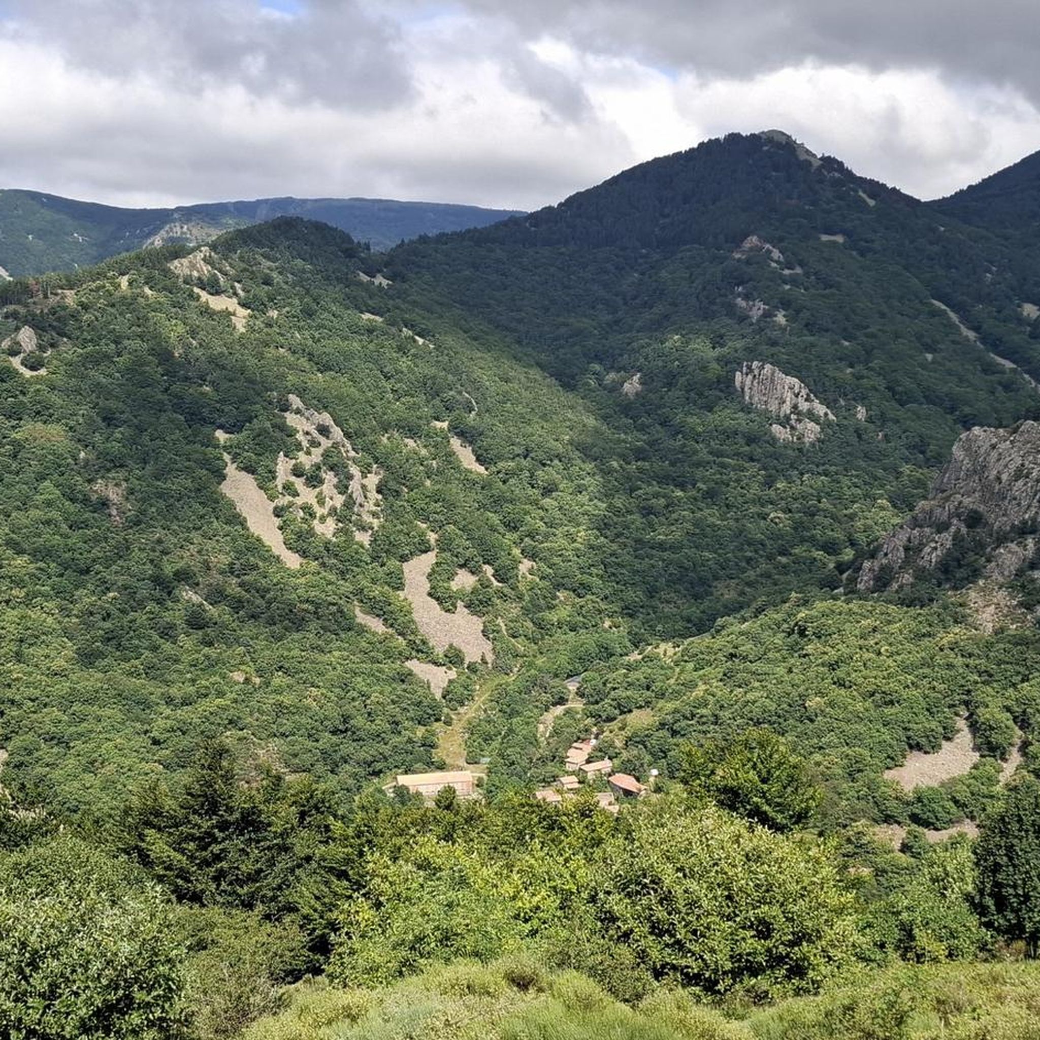
Approaching the ruins of the Rouyon farm, one can imagine the family of peasants who lived here not so long ago, almost cut off from the world, all year round, and all life long.
0
0

This is a pretty little waterfall with a great pool for swimming and cooling off.
3
0
Frequently Asked Questions
What kind of hiking experience can I expect around Laviolle?
Hiking around Laviolle, situated in the Parc naturel régional des Monts d'Ardèche, offers a diverse landscape. You'll encounter volcanic terrain, scenic river valleys, and dense forests. Trails often feature elevation changes, providing varied natural environments to explore.
Are there easy hiking trails suitable for beginners around Laviolle?
Yes, Laviolle offers a good selection of trails suitable for beginners. There are over 35 easy routes available, allowing you to enjoy the region's natural beauty without overly challenging terrain. These trails are perfect for a leisurely walk through the volcanic landscapes and forests.
What are the typical lengths of hiking trails in Laviolle?
The hiking trails around Laviolle vary significantly in length. You can find shorter routes, but many popular trails range from 6 to 8 miles (9 to 13 km). For example, the La vallée de la Volane — loop in the forest is about 6.1 miles (9.8 km), while the Cascade La Pissarelle – loop is around 8.2 miles (13.2 km).
Are there any trails with waterfalls near Laviolle?
Yes, the region around Laviolle is known for its beautiful waterfalls. You can explore trails that lead to notable cascades, such as the Cascade La Pissarelle. Other impressive waterfalls in the vicinity include the Ray-Pic Waterfall and the Pourcheyrolles Waterfall.
Can I find circular hiking routes around Laviolle?
Absolutely. Many of the popular hiking routes around Laviolle are designed as loops, allowing you to start and end at the same point. Examples include the Rocher de Faux Fay – Awesome view loop and the Donkey Farm – La Pissarelle loop.
What are some interesting landmarks or natural attractions to see while hiking?
Beyond the trails themselves, the Laviolle area offers several captivating landmarks. You can visit the impressive Ray-Pic Waterfall, explore the historic Castles of Craux, or discover the ancient Ventadour Castle. The La Volane River also provides beautiful scenery along many routes.
What do other hikers enjoy most about hiking in Laviolle?
The area is highly rated by the komoot community, with an average score of 4.4 stars from over 500 reviews. Hikers often praise the diverse volcanic landscapes, the tranquility of the river valleys, and the immersive experience of walking through dense forests. The variety of trails, from easy to challenging, is also frequently highlighted.
Are there challenging hikes for experienced hikers in Laviolle?
Yes, for those seeking a more strenuous adventure, Laviolle offers challenging routes. There are 17 difficult trails available, often featuring significant elevation gains and longer distances. These routes provide a rewarding experience with panoramic views across the Ardèche landscape.
Is Laviolle a good destination for family-friendly hikes?
Laviolle is a great choice for families, especially with its selection of easy and moderate trails. The natural environment, with its forests and river valleys, provides an engaging backdrop for children. Look for shorter, less strenuous loops that allow for exploration without being too demanding.
What is the best time of year to go hiking in Laviolle?
The best time to hike in Laviolle is typically during spring (April to June) and autumn (September to October). During these seasons, the weather is generally mild and pleasant, and the natural scenery is particularly vibrant with spring blooms or autumn colors. Summers can be warm, while winters may bring colder temperatures and occasional snow at higher elevations.
Are dogs allowed on the hiking trails in Laviolle?
Generally, dogs are welcome on hiking trails in the Parc naturel régional des Monts d'Ardèche, including those around Laviolle. However, it's always recommended to keep your dog on a leash, especially in areas with wildlife or near livestock, and to follow local regulations regarding pet access to ensure a pleasant experience for everyone.
How many hiking trails are available around Laviolle?
There are over 130 hiking trails available around Laviolle, offering a wide range of options for all skill levels. This includes 38 easy routes, 75 moderate routes, and 17 difficult routes, ensuring there's something for every hiker.
Most popular attractions around Laviolle

Get inspired with the komoot mobile app


Explore more
Browse the best Hikes in other regions.
