The best road cycling routes around Laveissière
4.7
(114)
3,429
riders
20
rides
Road cycling routes around Laveissière traverse the Cantal department within the Auvergne Volcanoes Regional Park, characterized by diverse volcanic landscapes and significant altitude differences. The region features high-altitude terrain, extensive forests, and deep valleys, offering challenging gradients for road cyclists. The Massif Cantalien provides over 200 kilometers of roads, including numerous mountain passes and routes with gradients up to 15%. This environment is suitable for road cyclists seeking varied terrain and demanding climbs.
Best road cycling routes around Laveissière
- The…
Last updated: July 28, 2026
19
riders
42.1km
02:15
690m
690m
Moderate road ride. Good fitness required. Mostly well-paved surfaces and easy to ride.
4.0
(1)
18
riders
70.5km
03:52
1,370m
1,370m
Hard road ride. Very good fitness required. Mostly well-paved surfaces and easy to ride.

Sign up for free
5.0
(1)
14
riders
17.9km
01:07
440m
440m
Moderate road ride. Good fitness required. Mostly well-paved surfaces and easy to ride.
4.5
(2)
14
riders
30.3km
01:45
660m
660m
Moderate road ride. Good fitness required. Mostly well-paved surfaces and easy to ride.
26
riders
39.5km
02:16
850m
850m
Moderate road ride. Good fitness required. Mostly well-paved surfaces and easy to ride.
Get access to more routes and recommendations from other explorers.
Sign up for free
Already have an account?
Our route recommendations are based on thousands of hikes, rides, and runs completed by other people on komoot.
Start today with a free account
Your next adventure awaits.
Login or Signup
Popular around Laveissière
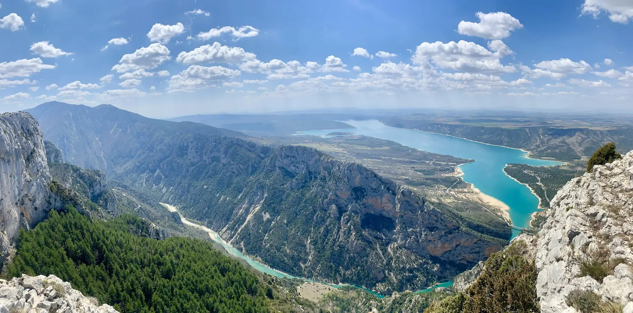
GR 4 – Crossing the south of France from Atlantic Coast to Provence
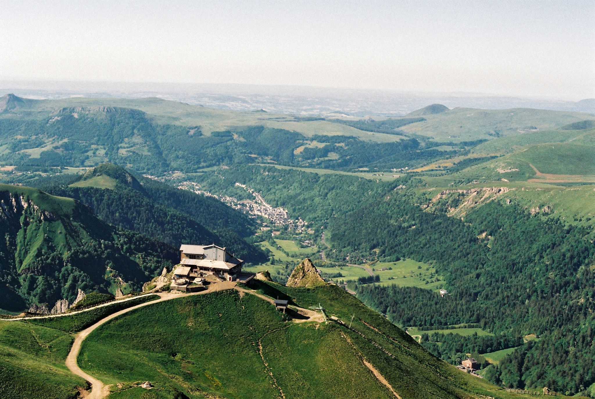
Crossing the volcanoes of Auvergne – Stromboliens, peléens and maars
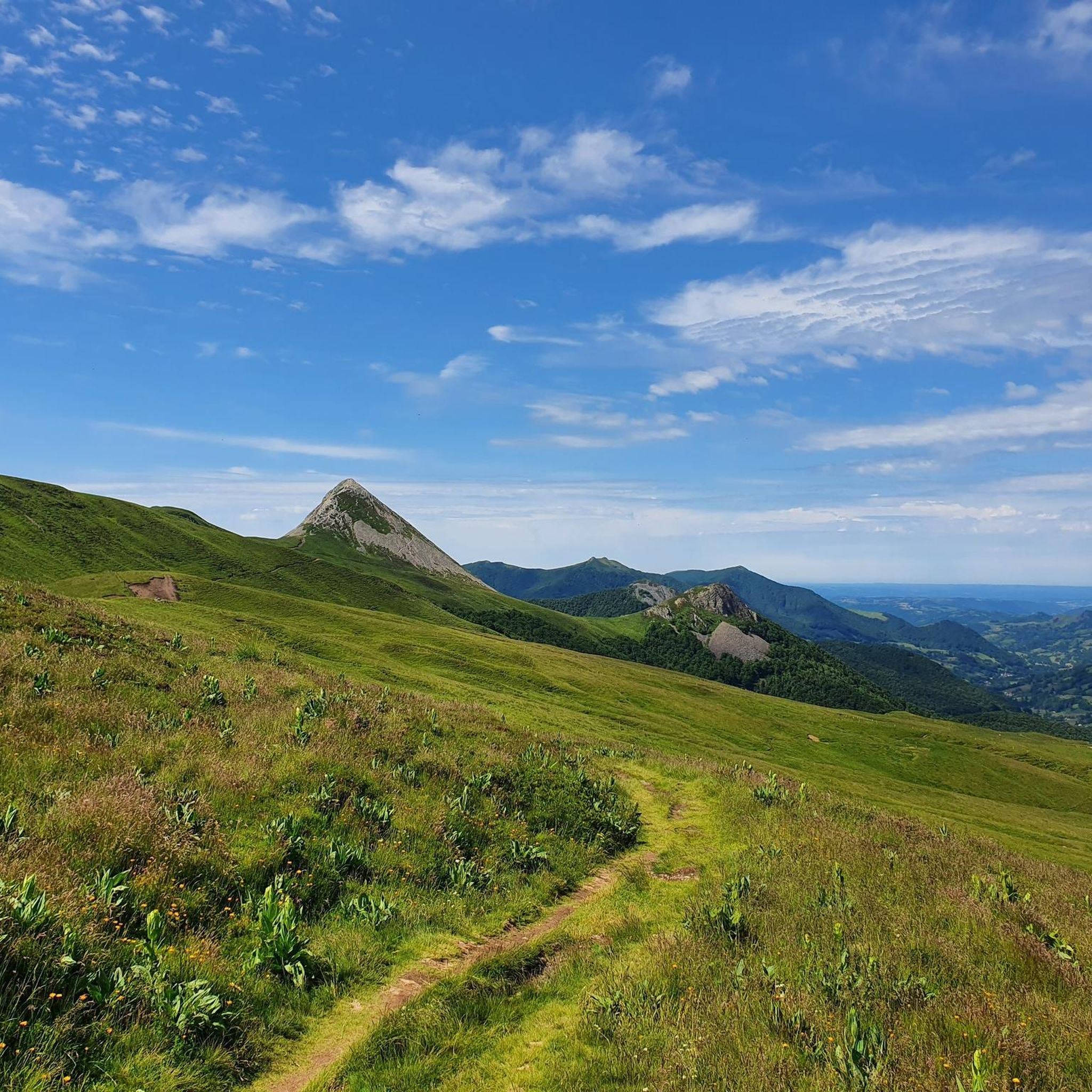
Hiking around Laveissière
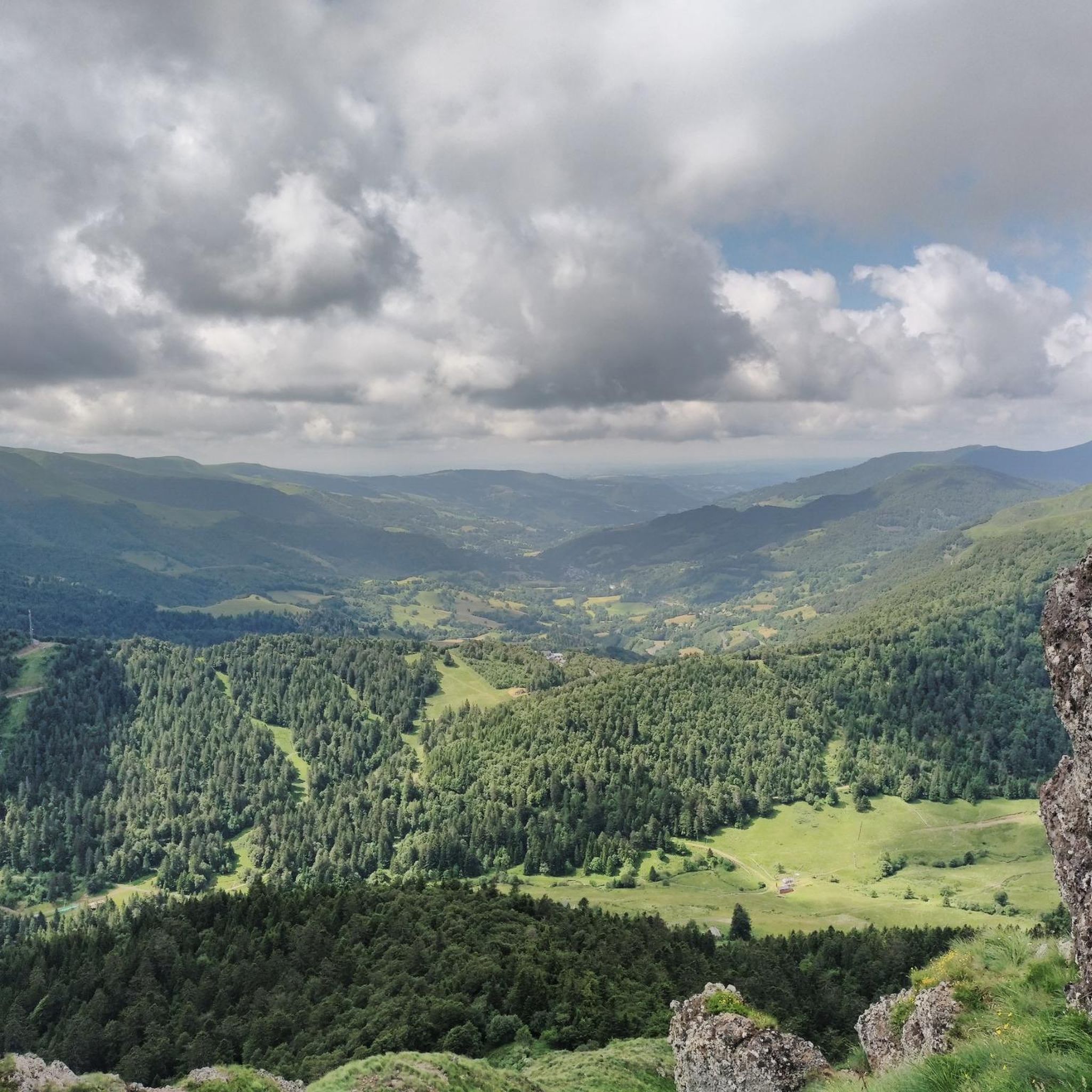
Running Trails around Laveissière
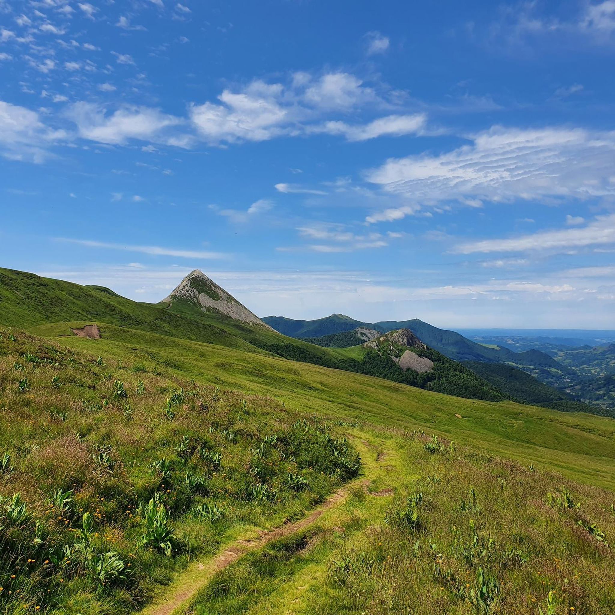
Cycling around Laveissière
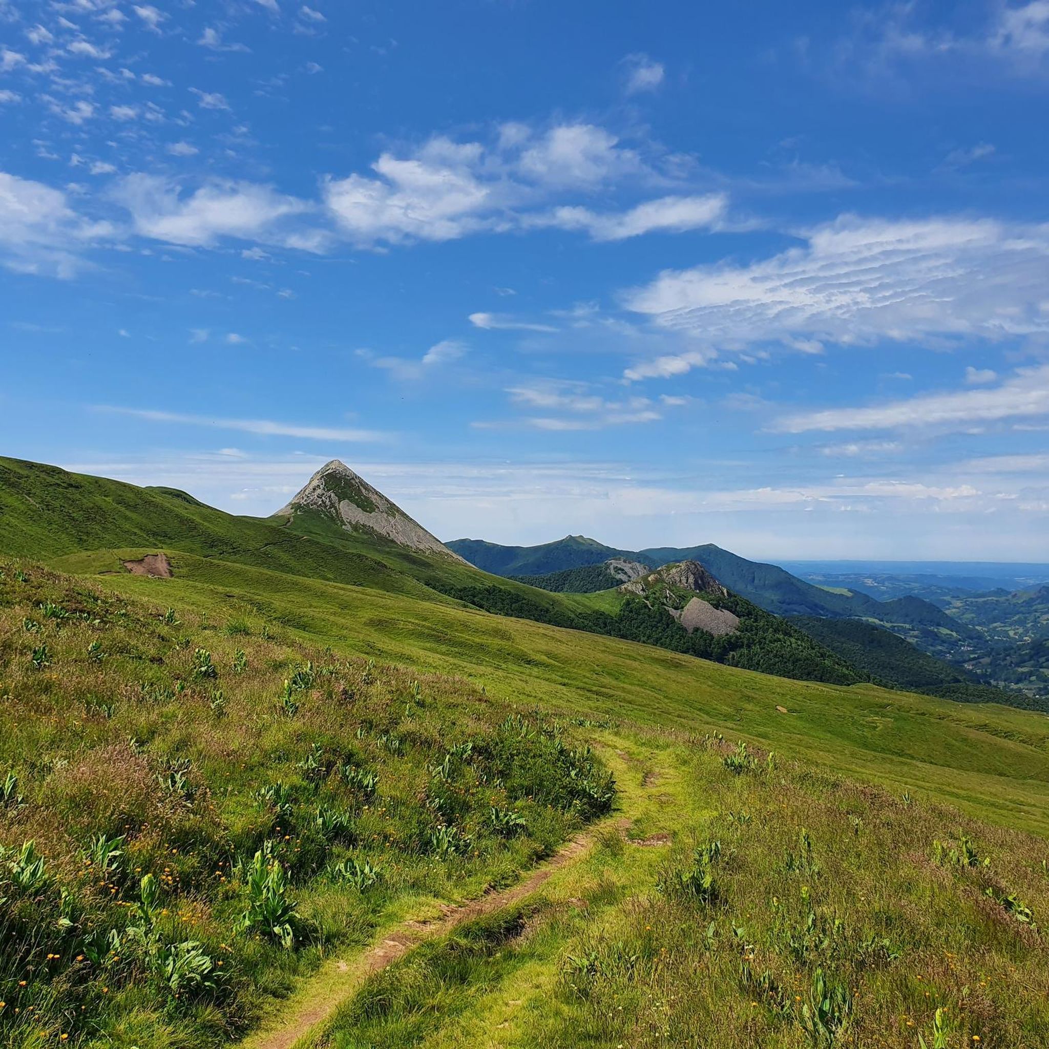
MTB Trails around Laveissière
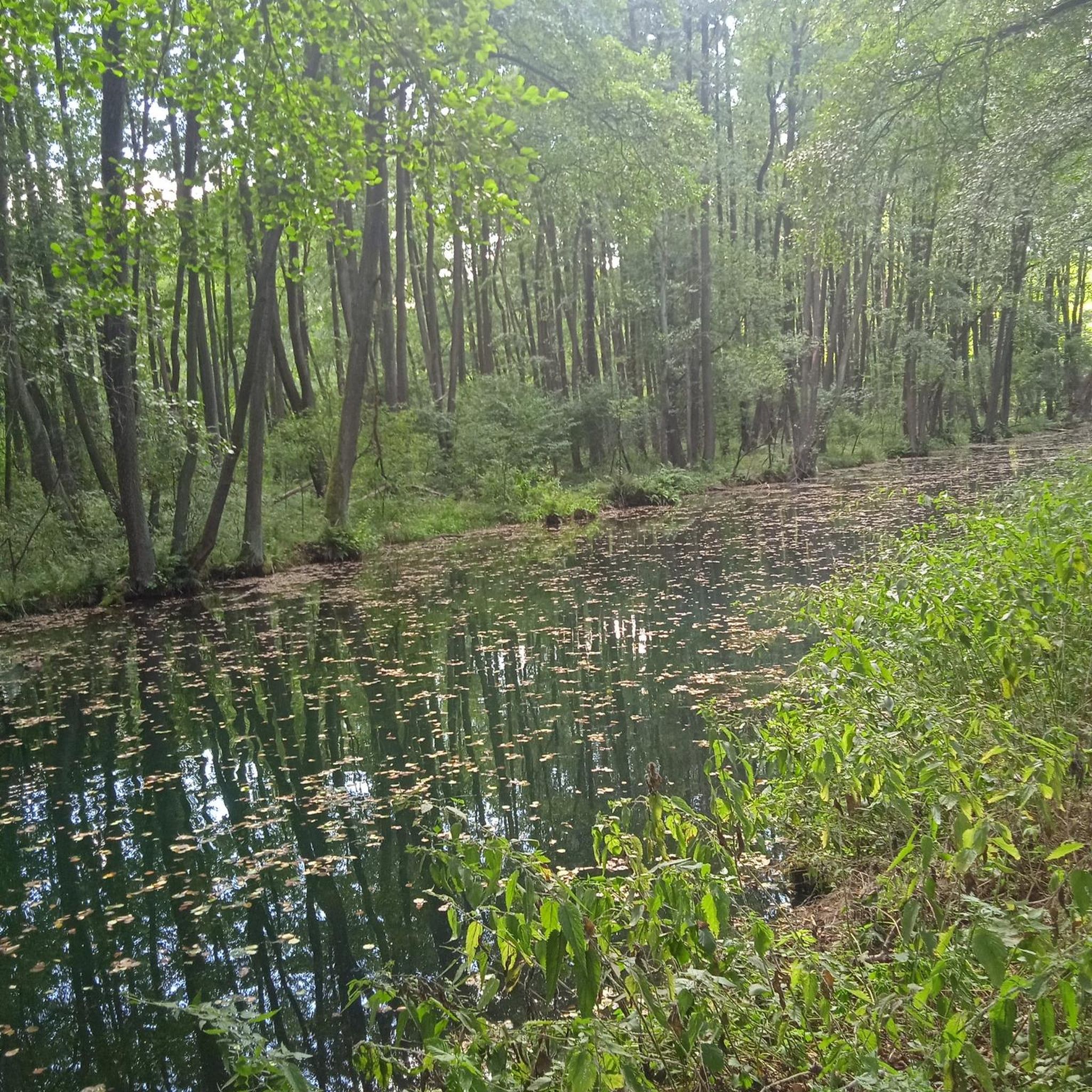
Gravel biking around Laveissière
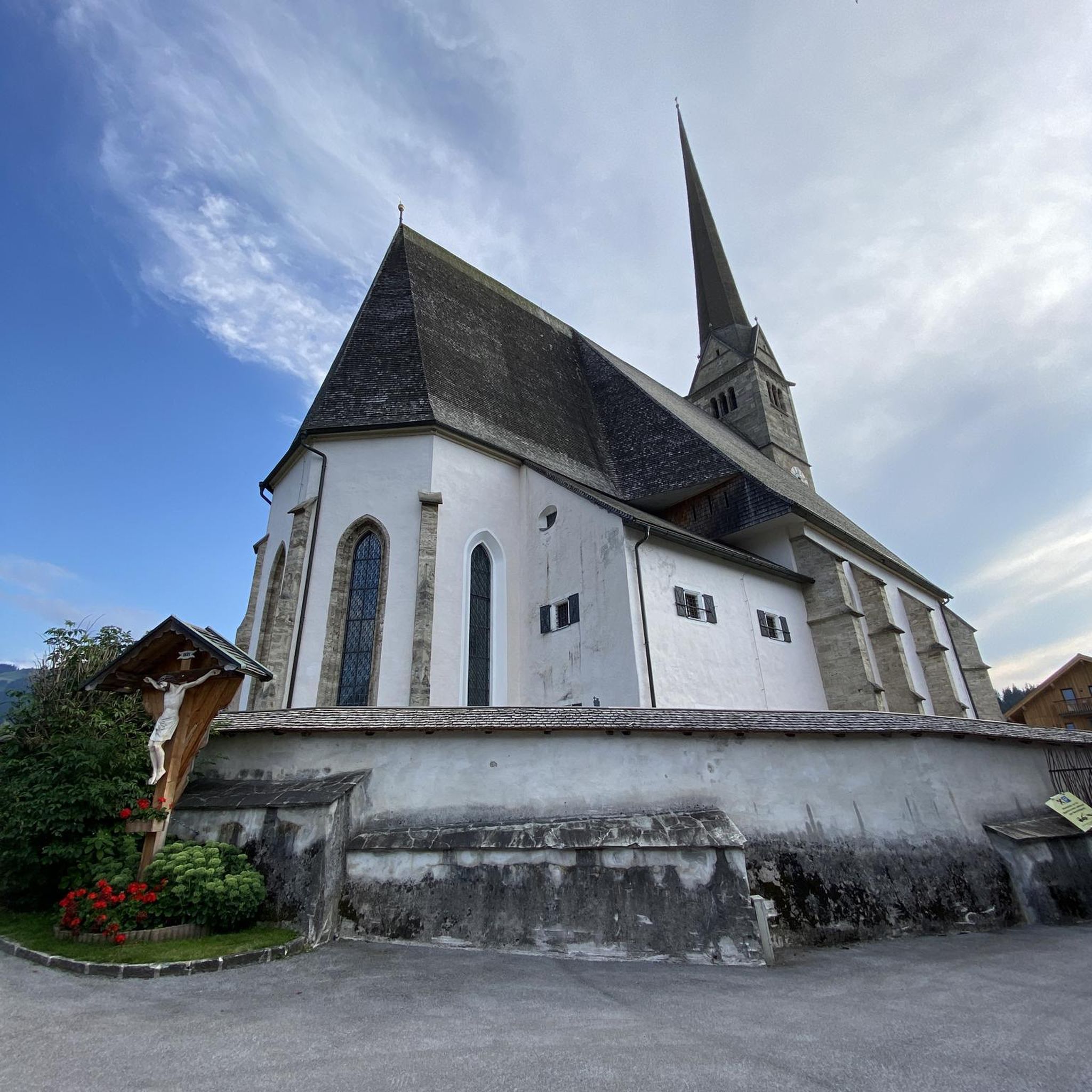
Mountain Hikes around Laveissière


Tips from the Community


A pretty medieval city to cross by bike
0
0
A pretty medieval city to cross by bike
0
0

Very regular climb without great difficulty start of several gravel trails
0
0


Today attached to Murat, Chastel-sur-Murat, which was a former oppidum, had a castle backing onto the church in the Middle Ages.
1
0

Due to its location on the eastern edge of the Monts du Cantal, it is a place of longing. You can easily get there by train or leave the car at the campsite for a few days. In the central square there is everything you need: market, cafes, bakery, shops and souvenirs.
2
0

Pretty city ideal for cycling, mountain biking, or gravel... At the foot of the Cantal massif...
0
0
Frequently Asked Questions
What is the general difficulty level for road cycling in Laveissière?
Road cycling around Laveissière, nestled within the Auvergne Volcanoes Regional Park, is characterized by significant altitude differences and challenging volcanic terrain. The Massif Cantalien offers over 200 kilometers of roads with gradients up to 15%. While there are moderate routes, many are considered difficult, featuring demanding climbs to high-altitude passes like Pas de Peyrol. It's a region best suited for cyclists seeking varied and strenuous terrain.
Are there any easy or beginner-friendly road cycling routes in Laveissière?
While Laveissière is known for its challenging terrain, there are some routes that offer a more moderate experience. For example, the View of Albepierre – Murat — Medieval Village loop from Col de Font de Cère is a moderate 42.1 km trail with a manageable elevation gain, leading through picturesque volcanic valleys. Another moderate option is the Murat – Murat (Cantal) loop from Le Lioran, which is 30.29 km long.
What kind of landscapes and natural features can I expect to see while road cycling in Laveissière?
Laveissière offers a rich backdrop of diverse volcanic landscapes. You'll cycle through the Massif Cantalien, the largest extinct volcano in France, characterized by dramatic volcanic terrain, deep valleys, and high plateaus. Expect extensive forests, picturesque waterways like the Alagnon Gorges, and stunning panoramic views from high passes. The region also features traditional villages with thatched roofs and expansive summer pastures.
Are there any notable landmarks or viewpoints along the road cycling routes?
Absolutely. Many routes offer breathtaking views and pass significant landmarks. The Pas de Peyrol, at 1589 meters, is the highest road pass in the Massif Central and provides iconic views of the surrounding volcanic peaks, including the famous Puy Mary Summit. You might also encounter the Plomb du Cantal, another prominent peak, and traditional villages like Murat.
Can I find circular road cycling routes in Laveissière?
Yes, many of the road cycling routes in Laveissière are designed as loops, allowing you to start and finish in the same location. Examples include the challenging Murat — Medieval Village – View of Albepierre loop from Le Lioran and the demanding Serre Pass – Pas de Peyrol Pass (1,589 m) loop from Laveissière. These circular routes provide a comprehensive experience of the region's diverse terrain.
What is the best time of year for road cycling in Laveissière?
The best time for road cycling in Laveissière is generally during the warmer months, from late spring to early autumn (May to October). During this period, the weather is more stable, and the high mountain passes are typically clear of snow. Summer offers pleasant temperatures, but be prepared for potential afternoon thunderstorms. Always check local weather forecasts before heading out, especially for routes at higher altitudes.
Are there any waterfalls I can see near the road cycling routes?
Yes, the region around Laveissière is home to several charming waterfalls. While road cycling, you might be able to visit or pass by some of these natural attractions. Notable waterfalls include the Vergnes Waterfall, Arbre de la Biche Waterfall, and Faillitoux Waterfall. The Alagnon Gorges also feature picturesque waterways.
What do other road cyclists enjoy most about road cycling in Laveissière?
The area is highly rated by the komoot community, with an average score of 4.7 stars from more than 80 reviews. Cyclists frequently praise the challenging climbs, the stunning panoramic views from the high passes, and the sense of accomplishment after conquering routes like those leading to Pas de Peyrol. The diverse volcanic landscapes and the quiet, isolated roads winding through impressive valleys are also highly appreciated.
Are there options for parking when starting a road cycling route in Laveissière?
Yes, Laveissière and nearby areas like Le Lioran offer various parking options. Many routes can be accessed from villages or specific trailheads where parking is available. It's advisable to check the starting point of your chosen route on komoot for specific parking recommendations, as availability can vary.
Is public transport available to access road cycling routes in Laveissière or Le Lioran?
Public transport options in this mountainous region can be limited, especially for transporting bicycles. While Le Lioran is a resort area, it's best to research local bus services or train connections to see if they accommodate bikes and serve your desired starting points. For detailed information on local transport, it's recommended to consult regional tourism resources or transport providers directly.
Are there any family-friendly road cycling routes in the Laveissière area?
Given the region's challenging terrain with significant elevation changes, many road cycling routes around Laveissière are geared towards experienced cyclists. However, families looking for less strenuous options might find flatter sections or dedicated cycle paths in nearby valleys. For a truly family-friendly experience, consider exploring the region's extensive network of hiking trails or other activities at Le Lioran resort, which offers a wider range of options for all ages.
Where can I find information about local amenities like cafes or accommodation in Laveissière?
Laveissière and the nearby Le Lioran resort offer various amenities for visitors. You'll find cafes, restaurants, and accommodation options ranging from hotels to gîtes. For more detailed information on local services, including charming towns and villages, you can visit the Haute Terres Tourisme website: hautesterrestourisme.fr.
Most popular routes around Laveissière
Most popular attractions around Laveissière

Get inspired with the komoot mobile app


Explore more
Browse the best Road cycling routes in other regions.
