The best traffic-free bike rides around Laveissière
4.7
(96)
2,202
riders
44
rides
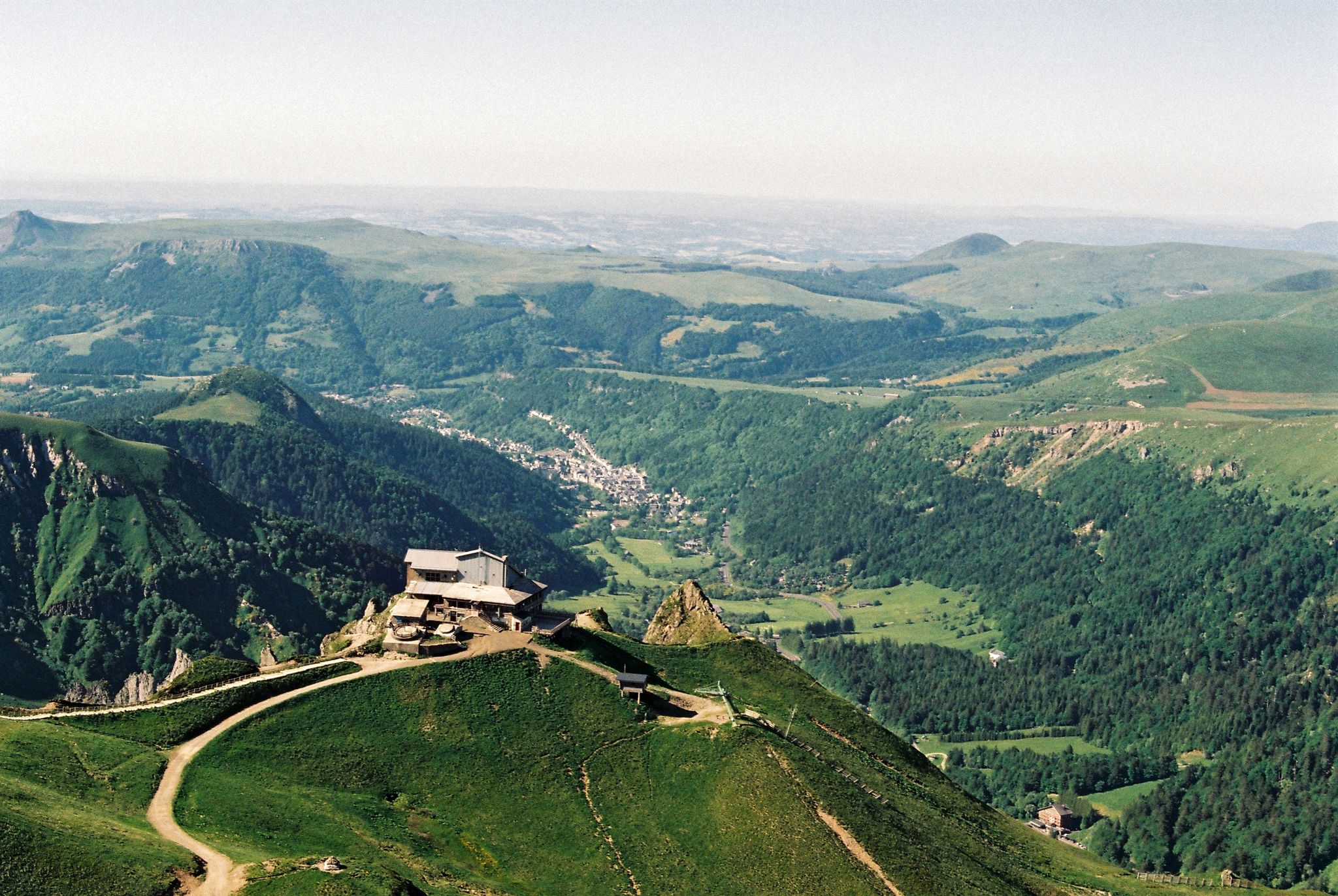
No traffic touring cycling routes around Laveissière are set within the Parc Naturel Régional des Volcans d'Auvergne, characterized by its volcanic landscapes and high-altitude terrain. The region features extensive forests, including the Forêt du Lioran, and numerous waterways like the Alagnon River, which carves impressive gorges. This environment offers varied elevations and natural features for touring cyclists.
Best no traffic touring cycling routes around Laveissière
- The most popular no traffic touring cycling route is Ancienne route imperial – The descent from Lioran loop from Le Lioran, a 13.1 miles (21.0 km) trail that takes 2 hours 2 minutes to complete. This difficult route features significant elevation changes through the volcanic landscape.
- Another top favourite among local touring cyclists is Pertus Pass (1,309 m) loop from Cantal, a moderate 9.3 miles (15.0 km) path. This route offers views of the surrounding mountains and passes through varied terrain.
- Local touring cyclists also love the Ancienne route imperial loop from Col de Font de Cère, a 16.9 miles (27.2 km) trail leading through forested areas and high-altitude passes, often completed in about 2 hours 9 minutes.
- Touring cycling around Laveissière is defined by volcanic peaks such as Puy Mary and Plomb du Cantal, extensive forests, and river valleys. The network offers options for both moderate and difficult ability levels, with 16 moderate and 30 difficult routes available.
- The routes in Laveissière are highly rated by the komoot community with an average score of 4.8 stars from over 90 reviews. More than 2200 touring cyclists have used komoot to explore Laveissière's varied terrain.
Last updated: May 26, 2026
21
riders
21.0km
02:02
680m
680m
Hard bike ride. Very good fitness required. Mostly paved surfaces. Suitable for all skill levels.
5.0
(1)
34
riders
27.2km
02:09
540m
540m
Hard bike ride. Very good fitness required. Mostly paved surfaces. Suitable for all skill levels.

Sign up for free
15
riders
16.6km
01:42
560m
560m
Hard bike ride. Very good fitness required. Mostly paved surfaces. Suitable for all skill levels.
11
riders
23.6km
02:11
570m
570m
Hard bike ride. Very good fitness required. Mostly paved surfaces. Suitable for all skill levels.
11
riders
15.0km
01:12
440m
440m
Moderate bike ride. Good fitness required. Mostly paved surfaces. Suitable for all skill levels.
Get access to more routes and recommendations from other explorers.
Sign up for free
Already have an account?
Our route recommendations are based on thousands of hikes, rides, and runs completed by other people on komoot.
Start today with a free account
Your next adventure awaits.
Login or Signup


Tips from the Community


Superb climb from Saint-Julien de Jordanne.
0
0


Today attached to Murat, Chastel-sur-Murat, which was a former oppidum, had a castle backing onto the church in the Middle Ages.
1
0

Due to its location on the eastern edge of the Monts du Cantal, it is a place of longing. You can easily get there by train or leave the car at the campsite for a few days. In the central square there is everything you need: market, cafes, bakery, shops and souvenirs.
2
0

Pretty city ideal for cycling, mountain biking, or gravel... At the foot of the Cantal massif...
0
0

Frequently Asked Questions
How many no-traffic touring cycling routes are available around Laveissière?
There are over 45 dedicated no-traffic touring cycling routes around Laveissière. These routes offer a mix of challenges, with 16 considered moderate and 30 difficult, ensuring options for various skill levels.
What makes Laveissière a good destination for no-traffic touring cycling?
Laveissière, nestled within the Parc Naturel Régional des Volcans d'Auvergne, offers a unique blend of dramatic volcanic landscapes, extensive forests, and pristine waterways. The region's focus on outdoor activities, combined with its diverse terrain, provides numerous opportunities for quiet, scenic touring cycling away from main roads.
What kind of terrain can I expect on no-traffic touring cycling routes around Laveissière?
You can expect varied terrain, from challenging ascents to high mountain passes like Pas de Peyrol (1,589 m) and the slopes leading to Puy Mary, to more shaded paths winding through dense forests and along river valleys. The routes often feature volcanic landscapes, high-altitude pastures, and significant elevation changes, providing a rewarding experience for touring cyclists.
Are there any easy no-traffic touring cycling routes suitable for beginners in Laveissière?
While many routes in Laveissière are rated moderate to difficult due to the mountainous terrain, there are options that can be adapted for less experienced riders by choosing shorter sections or routes with less elevation gain. For example, some parts of the Pertus Pass (1,309 m) loop from Cantal offer a moderate challenge.
What natural attractions can I see along no-traffic touring cycling routes in Laveissière?
Many routes pass through or near stunning natural features. You can encounter impressive waterfalls like the Chambeuil or Combe-Nègre waterfalls, cycle through vast forests such as the Forêt du Lioran, and follow the scenic Alagnon Gorges. The region is also home to beautiful lakes, including Lake du Pêcher and Lac des Cascades.
Are there any notable landmarks or points of interest accessible from these routes?
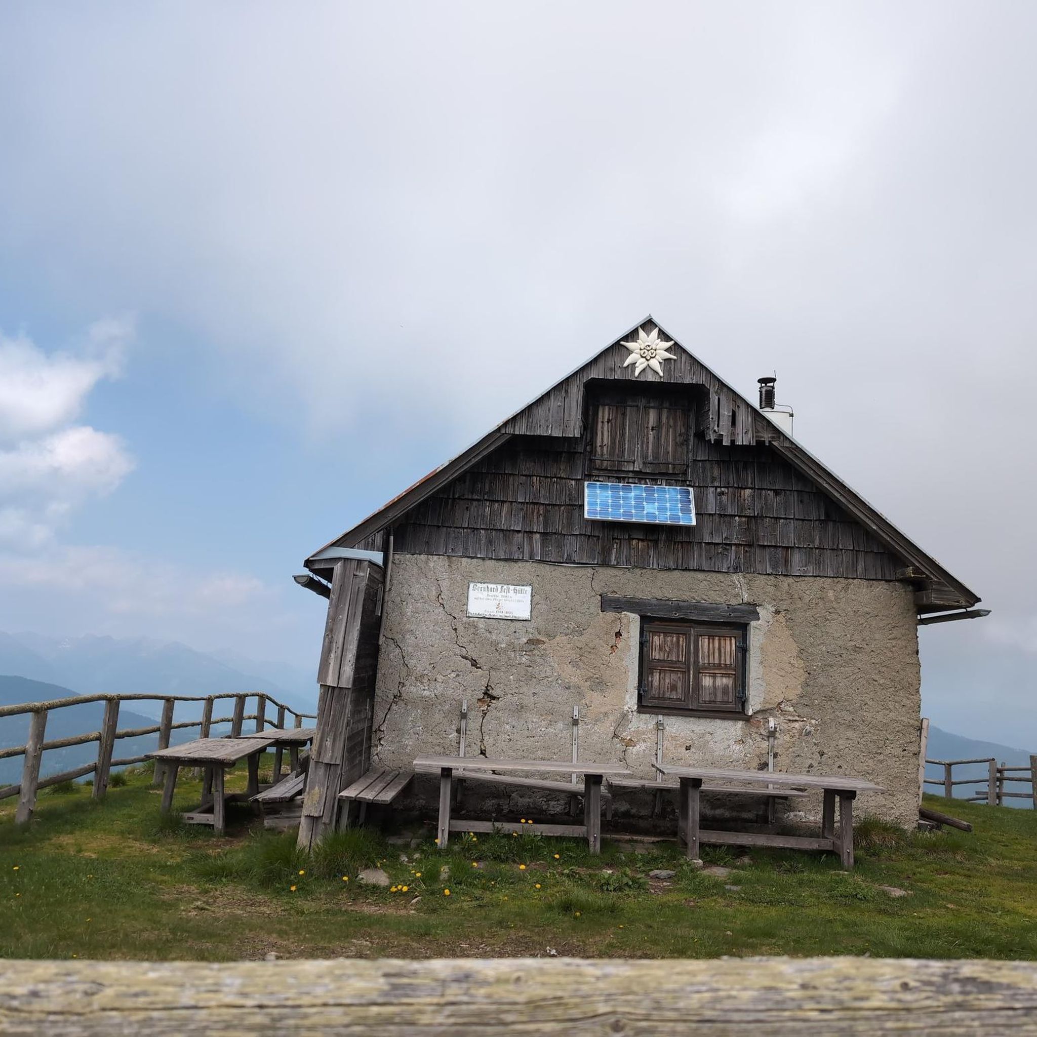
Yes, the region is rich in landmarks. You can often catch glimpses of the majestic Puy Mary, a Grand Site de France, or the Plomb du Cantal, the highest peak in Cantal. Some routes might lead you past historic structures or traditional burons (shepherd's huts), such as Buron d'Eylac Refuge or Buron de Cheylus, offering insights into the local heritage.
What is the best time of year for no-traffic touring cycling in Laveissière?
The best time for touring cycling in Laveissière is typically from late spring to early autumn (May to October). During these months, the weather is generally milder, and the mountain passes are clear of snow. Summer offers the warmest temperatures, while spring and autumn provide beautiful foliage and fewer crowds. The region is increasingly a four-season destination, but cycling is most comfortable outside of winter.
Are there family-friendly no-traffic cycling routes in Laveissière?
While the guide focuses on touring routes that can be challenging, some sections of the extensive forest trails or paths along the Alagnon River may be suitable for families looking for less strenuous, traffic-free cycling. It's recommended to check the route profiles for elevation and distance to ensure they match your family's capabilities.
Can I bring my dog on these no-traffic touring cycling routes?
Many natural areas in France, including those around Laveissière, are generally dog-friendly, especially on trails and paths. However, it's crucial to keep your dog on a leash, particularly in protected areas like the Parc Naturel Régional des Volcans d'Auvergne, to protect wildlife and livestock. Always check local signage for specific regulations.
Where can I find parking for my bike tour in Laveissière?
Parking is generally available in Laveissière village and at key access points for popular trails, such as near Le Lioran ski resort or at the base of major passes. Look for designated parking areas, especially those catering to outdoor enthusiasts, which often have space for vehicles transporting bikes.
Is public transport available to access these cycling routes, especially with a bike?
Public transport options in this rural region can be limited. While some bus services connect Laveissière to larger towns, carrying bikes might require prior arrangement or be restricted. It's advisable to check with local transport providers or the Laveissière tourist office for the most up-to-date information regarding bike transport on public services.
Are there places to eat or stay overnight near the no-traffic cycling routes?
Yes, Laveissière and nearby villages offer various options for accommodation and dining. You'll find auberges, gîtes, and hotels, particularly around Le Lioran. There are also traditional burons, some of which have been converted into refuges like Refuge de Cabrespine or Meije Coste Refuge, offering rustic overnight stays and meals. Many establishments are accustomed to catering to cyclists.
What do other touring cyclists enjoy the most about touring cycling in Laveissière?
The area is highly rated by the komoot community, with an average score of 4.79 stars. Reviewers often praise the stunning volcanic scenery, the tranquility of the extensive forests, and the challenge of the mountain passes. The feeling of being immersed in nature on traffic-free paths, away from the hustle and bustle, is a frequently highlighted aspect.
Most popular routes around Laveissière
Most popular attractions around Laveissière

Get inspired with the komoot mobile app


Explore more
Browse the best Cycling routes in other regions.
