The best running trails around Mont-Saint-Vincent
4.7
(25)
1,349
runners
105
runs
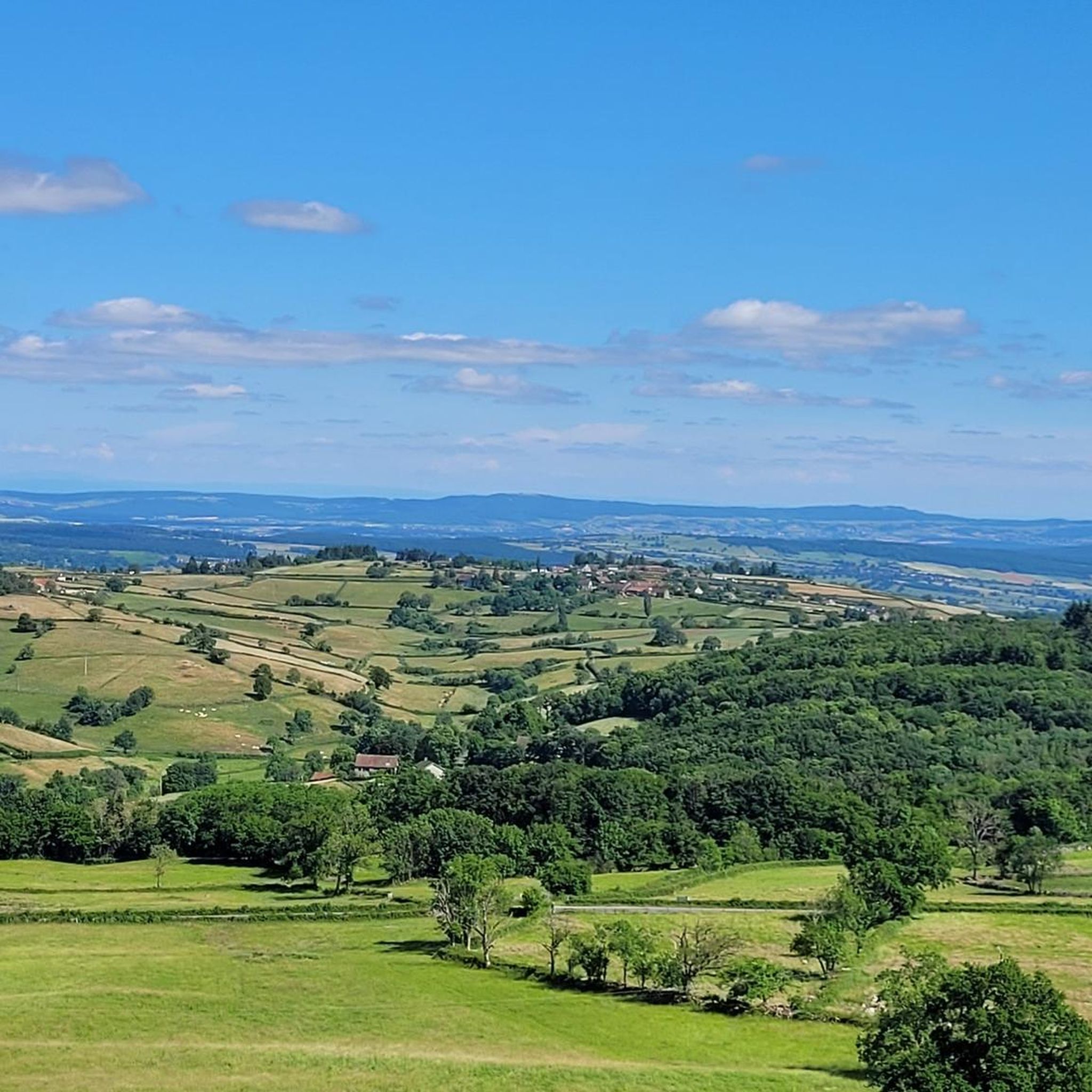
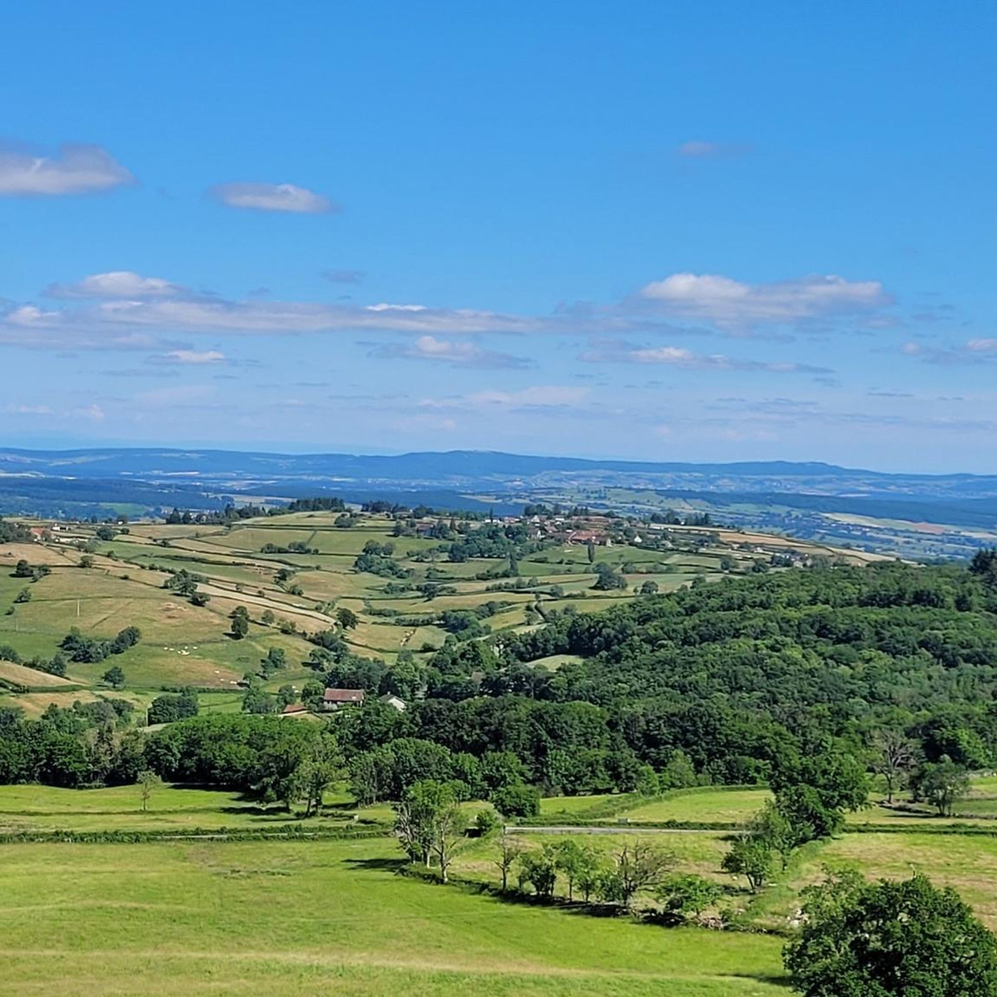
Jogging around Mont-Saint-Vincent offers routes through a landscape characterized by its elevated position in Burgundy, France. The village itself sits at 601 meters (1971 ft), providing a natural feature for challenging uphill running. The terrain includes varied inclines and descents, with panoramic views over the Saône-et-Loire region from its belvedere. Jogging routes Mont-Saint-Vincent often incorporate the village's narrow streets and surrounding natural areas, providing a mix of historical charm and expansive vistas.
Best jogging routes around Mont-Saint-Vincent
- The most popular…
Last updated: May 23, 2026
15
runners
12.8km
01:34
260m
250m
Moderate run. Good fitness required. Mostly paved surfaces. Suitable for all skill levels.
11
runners
14.4km
01:41
350m
350m
Hard run. Very good fitness required. Mostly paved surfaces. Suitable for all skill levels.

Sign up for free
10
runners
26.1km
03:08
640m
640m
Hard run. Very good fitness required. Mostly paved surfaces. Suitable for all skill levels.
5.0
(1)
7
runners
22.6km
02:43
580m
580m
Hard run. Very good fitness required. Mostly paved surfaces. Suitable for all skill levels.
5.0
(1)
6
runners
18.8km
02:17
480m
480m
Hard run. Very good fitness required. Mostly paved surfaces. Suitable for all skill levels.
Get access to more routes and recommendations from other explorers.
Sign up for free
Already have an account?
Our route recommendations are based on thousands of hikes, rides, and runs completed by other people on komoot.
Start today with a free account
Your next adventure awaits.
Login or Signup
Frequently Asked Questions
How many running routes are available around Mont-Saint-Vincent?
There are over 100 running routes around Mont-Saint-Vincent, offering a wide variety of options for different preferences and fitness levels. The komoot community has explored 106 routes in total.
What is the overall difficulty level of running trails in Mont-Saint-Vincent?
The running trails around Mont-Saint-Vincent primarily offer moderate to difficult challenges. While there are a few easy routes, the majority (around 80) are moderate, and 24 are considered difficult, often featuring significant elevation changes due to the region's hilly terrain.
What do other runners enjoy the most about jogging in Mont-Saint-Vincent?
The area is highly rated by the komoot community, with an average score of 4.8 stars from over 20 reviews. More than 1600 runners have used komoot to explore Mont-Saint-Vincent's varied terrain, often praising the panoramic views, challenging inclines, and the mix of natural landscapes with historical charm.
Are there any circular running routes in the Mont-Saint-Vincent area?
Yes, many of the running routes around Mont-Saint-Vincent are circular. For example, the Bois Communal de Châtelaine loop from Mont-Saint-Vincent is a popular moderate 12.8 km circular trail through woodlands. Another option is the more challenging Étang de Serles – Étang Guillot loop from Gourdon, which is 14.4 km.
What are the best times of year for jogging in Mont-Saint-Vincent?
Mont-Saint-Vincent, located in Burgundy, France, offers pleasant jogging conditions during spring and autumn when temperatures are mild. Summer can be warm, but early mornings or late evenings are still suitable. Winter running is possible, but be prepared for cooler temperatures and potentially muddy or icy conditions on some trails, especially at higher elevations.
Are there any running routes suitable for families with children?
While many routes around Mont-Saint-Vincent feature significant elevation changes, there are a few easier options available. For family-friendly runs, look for routes described as 'easy' or 'moderate' with shorter distances. Always check the route details for elevation and terrain to ensure it's suitable for all family members.
Can I bring my dog on the running trails around Mont-Saint-Vincent?
Generally, dogs are welcome on many trails in rural France, including those around Mont-Saint-Vincent. However, it's always advisable to keep your dog on a leash, especially near livestock or in protected natural areas. Ensure your dog is well-behaved and that you clean up after them to maintain the natural beauty of the region.
Are there any viewpoints or scenic spots along the running routes?
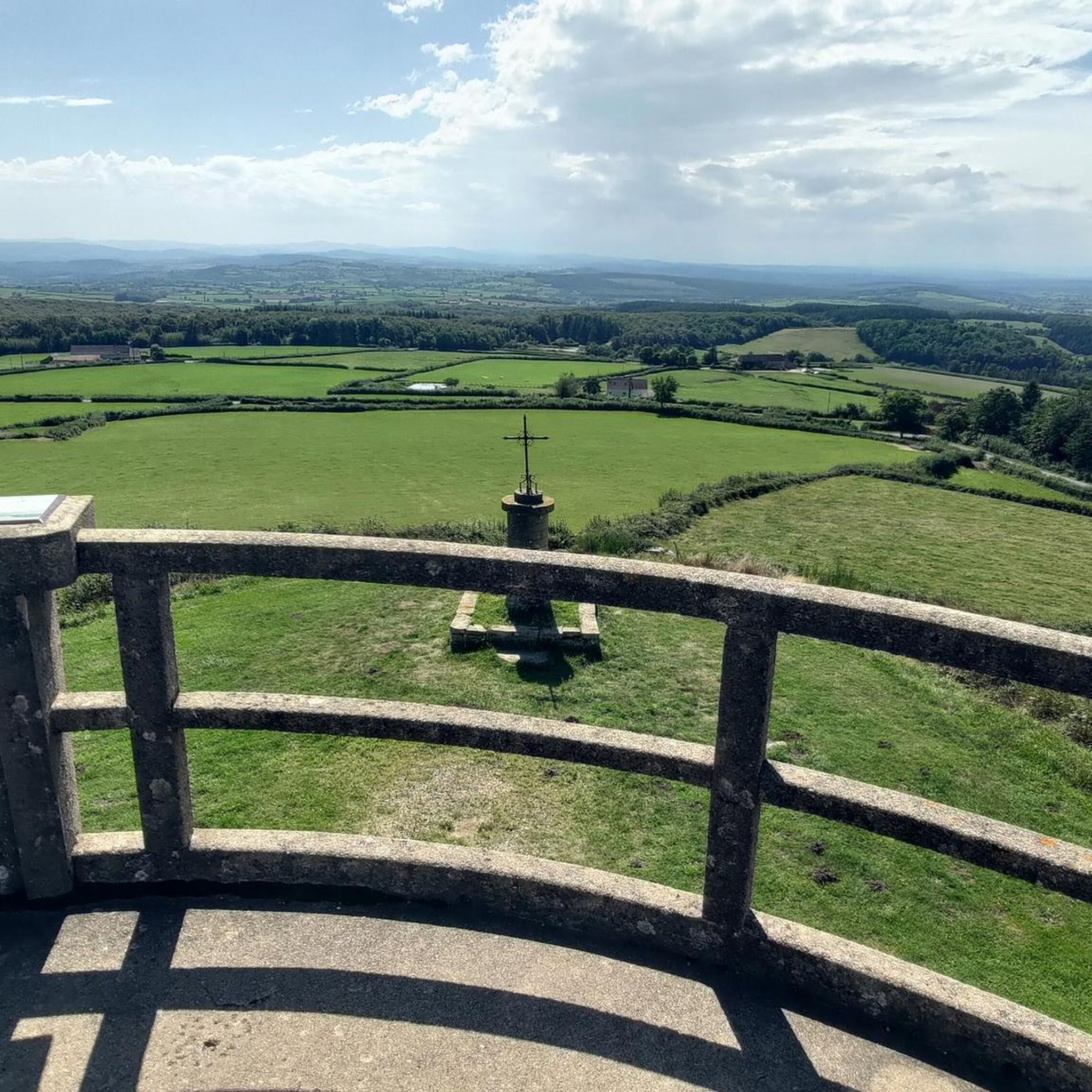
Absolutely! Mont-Saint-Vincent itself is perched at 601 meters, offering a magnificent 360° panoramic view over the entire Saône-et-Loire region from its belvedere. Many routes incorporate this elevated position, providing stunning vistas. For example, the View from Mont Saint-Cyr loop from Gourdon is a difficult 18.8 km route specifically highlighting scenic views.
What kind of natural features can I expect to see while running in this region?
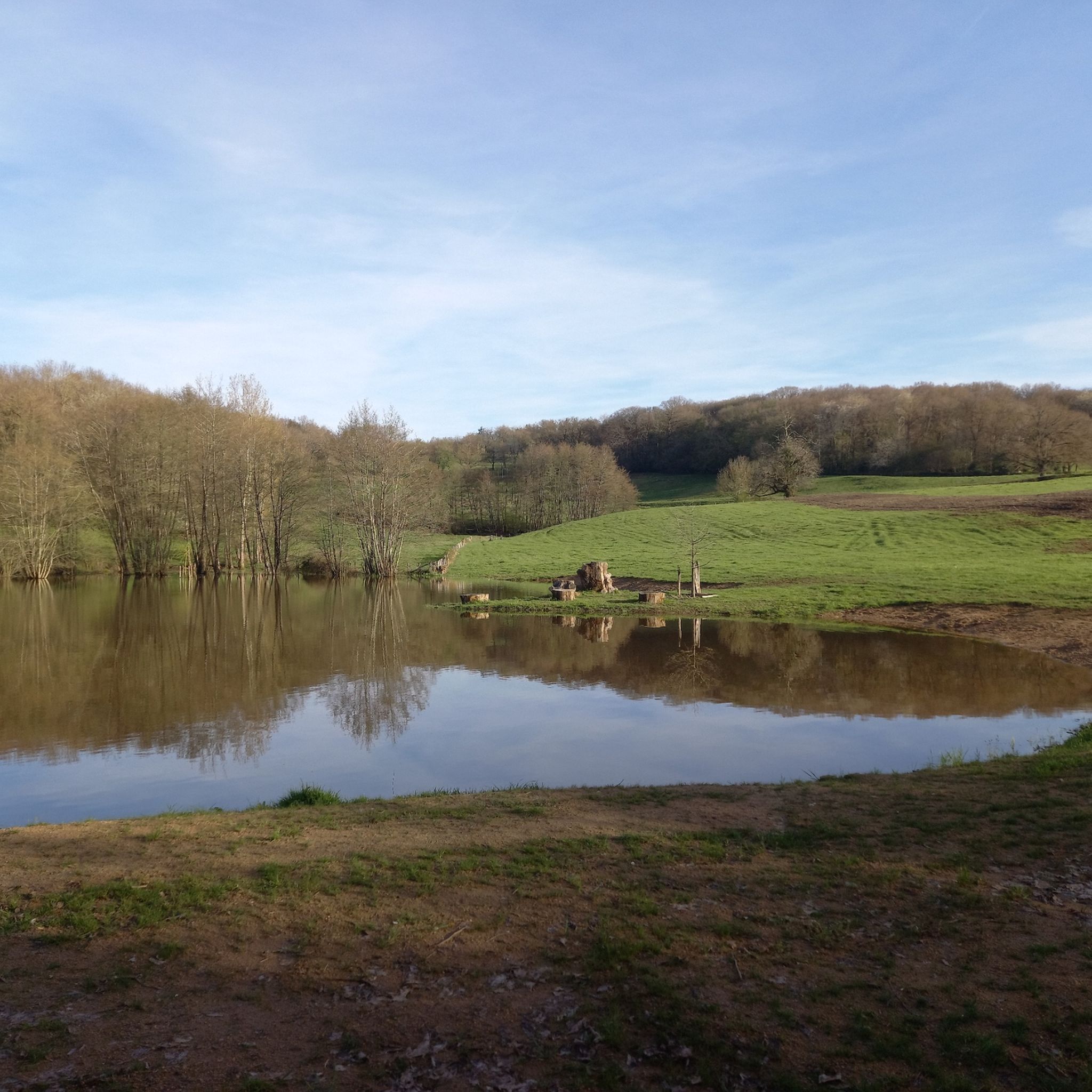
The region around Mont-Saint-Vincent is characterized by its elevated position, offering varied terrain with inclines and descents. You'll encounter local woodlands, open fields, and picturesque ponds like the Étang de Serles, Étang Guillot, and Étang de Laguche, which are featured on several routes such as the Étang de Serles – Étang de Laguche loop from Gourdon.
Are there any interesting landmarks or historical sites near the running routes?
Yes, the medieval village of Mont-Saint-Vincent itself is a landmark with narrow streets and old houses. Nearby, you can explore highlights such as the Saint-Boil Village and Vineyards or the Historic Washhouse. The region also features natural curiosities like The Culles-les-roches cave.
Is parking available near the running trailheads in Mont-Saint-Vincent?
While specific parking areas for each trailhead are not detailed, as a popular hilltop village, Mont-Saint-Vincent typically offers parking facilities for visitors. It's advisable to check local signage upon arrival or use navigation apps to locate convenient parking spots near the village center or common starting points for routes.
Are there any cafes or places to get refreshments after a run?
Mont-Saint-Vincent, being a charming village, likely has local amenities such as cafes or small eateries where you can refresh yourself after your run. For more options, nearby towns in the Saône-et-Loire region would offer a wider selection of restaurants and cafes.
Most popular attractions around Mont-Saint-Vincent

Get inspired with the komoot mobile app


Explore more
Browse the best Running Trails & Routes in other regions.
