The best walks and hikes around Mont-Saint-Vincent
4.6
(164)
820
hikers
100
hikes
Hiking around Mont-Saint-Vincent offers diverse landscapes from its elevated position at around 601-603 meters, providing panoramic views. The terrain is characterized by rolling hills, verdant meadows, and peaceful woodlands, forming part of the "bocage charolais" with its small fields enclosed by hedges. This region is notably situated along a water divide, contributing to both the Mediterranean and Atlantic basins. The area features a network of historic paths connecting ancient Romanesque churches and old farming areas.
Best hiking trails around Mont-Saint-Vincent
- The most popular hiking route is Mount Saint-Vincent loop from Mont-Saint-Vincent, a 3.5 miles (5.7 km) trail that takes 1 hour 42 minutes to complete. This easy route offers scenic views directly from the village.
- Another top favourite among local hikers is Hiking loop from Mont-Saint-Vincent, a moderate 5.3 miles (8.5 km) path. This trail traverses rolling hills and peaceful woodlands, providing a varied natural experience.
- Local hikers also love the Village de Marigny loop from Marigny, a 10.2 miles (16.5 km) trail leading through the characteristic bocage charolais landscape, often completed in about 4 hours 33 minutes.
- Hiking around Mont-Saint-Vincent is defined by rolling hills, verdant meadows, and peaceful woodlands. The extensive network offers options for various ability levels, from easy loops to more moderate hikes.
- The routes in Mont-Saint-Vincent are highly rated by the komoot community with an average score of 4.7 stars from more than 150 reviews. More than 750 hikers have used komoot to explore Mont-Saint-Vincent's varied terrain.
Last updated: May 12, 2026
4.4
(5)
15
hikers
5.74km
01:43
160m
160m
Easy hike. Great for any fitness level. Easily-accessible paths. Suitable for all skill levels.
5.0
(1)
8
hikers
8.48km
02:27
200m
200m
Moderate hike. Good fitness required. Easily-accessible paths. Suitable for all skill levels.

Sign up for free
5.0
(1)
4
hikers
11.6km
03:20
290m
290m
Moderate hike. Good fitness required. Easily-accessible paths. Suitable for all skill levels.
5.0
(1)
4
hikers
10.7km
03:03
250m
250m
Moderate hike. Good fitness required. Easily-accessible paths. Suitable for all skill levels.
8
hikers
16.5km
04:34
300m
290m
Moderate hike. Good fitness required. Easily-accessible paths. Suitable for all skill levels.
Get access to more routes and recommendations from other explorers.
Sign up for free
Already have an account?
Our route recommendations are based on thousands of hikes, rides, and runs completed by other people on komoot.
Start today with a free account
Your next adventure awaits.
Login or Signup
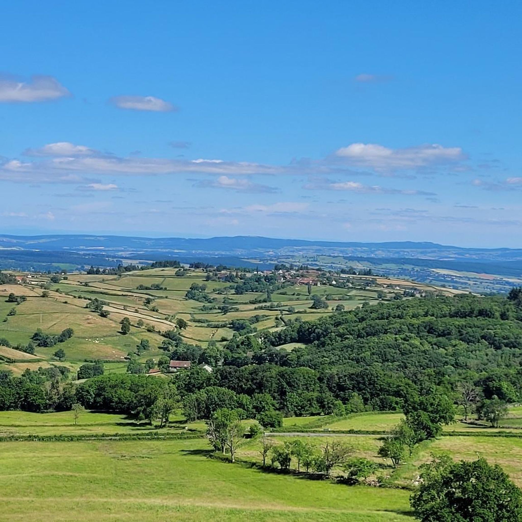
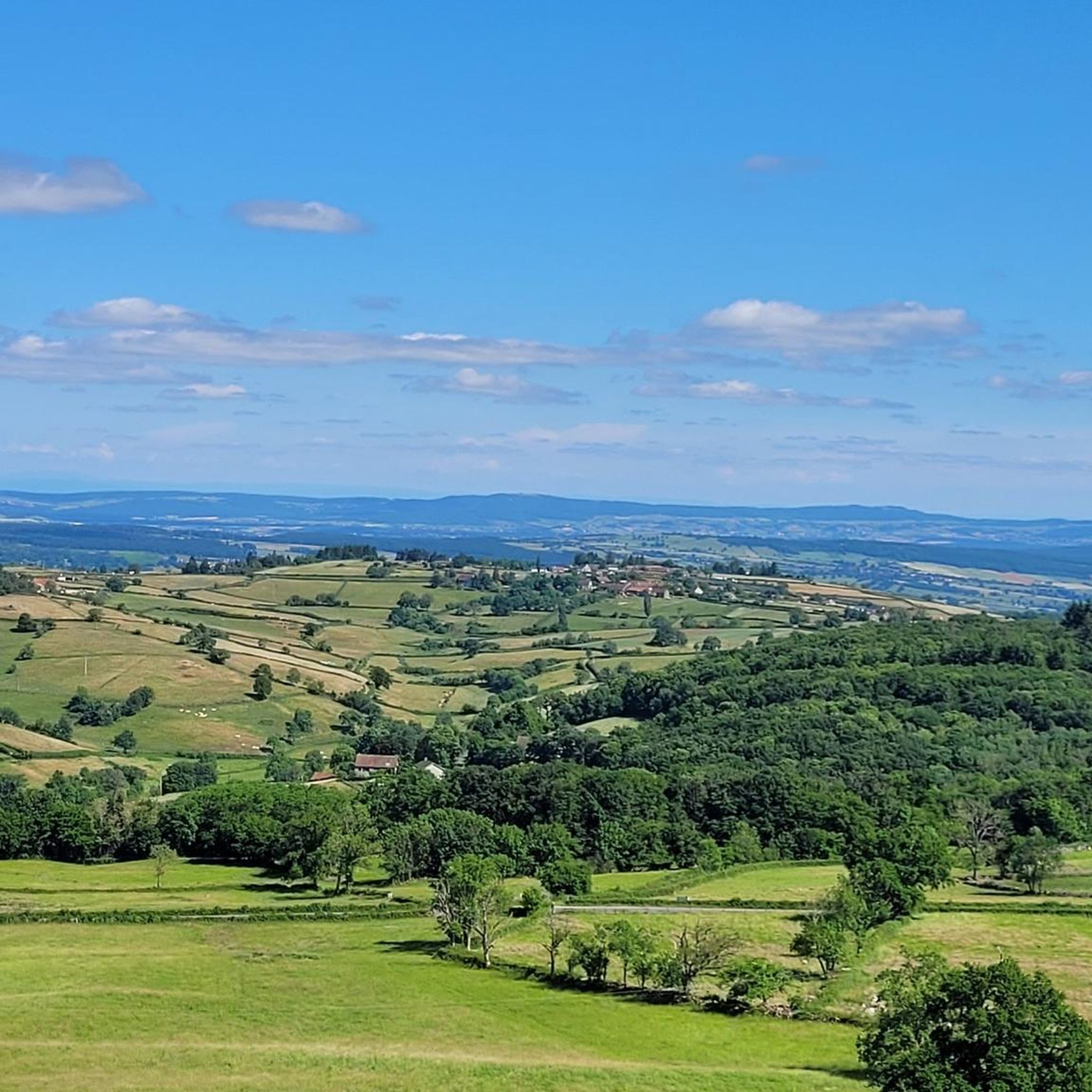

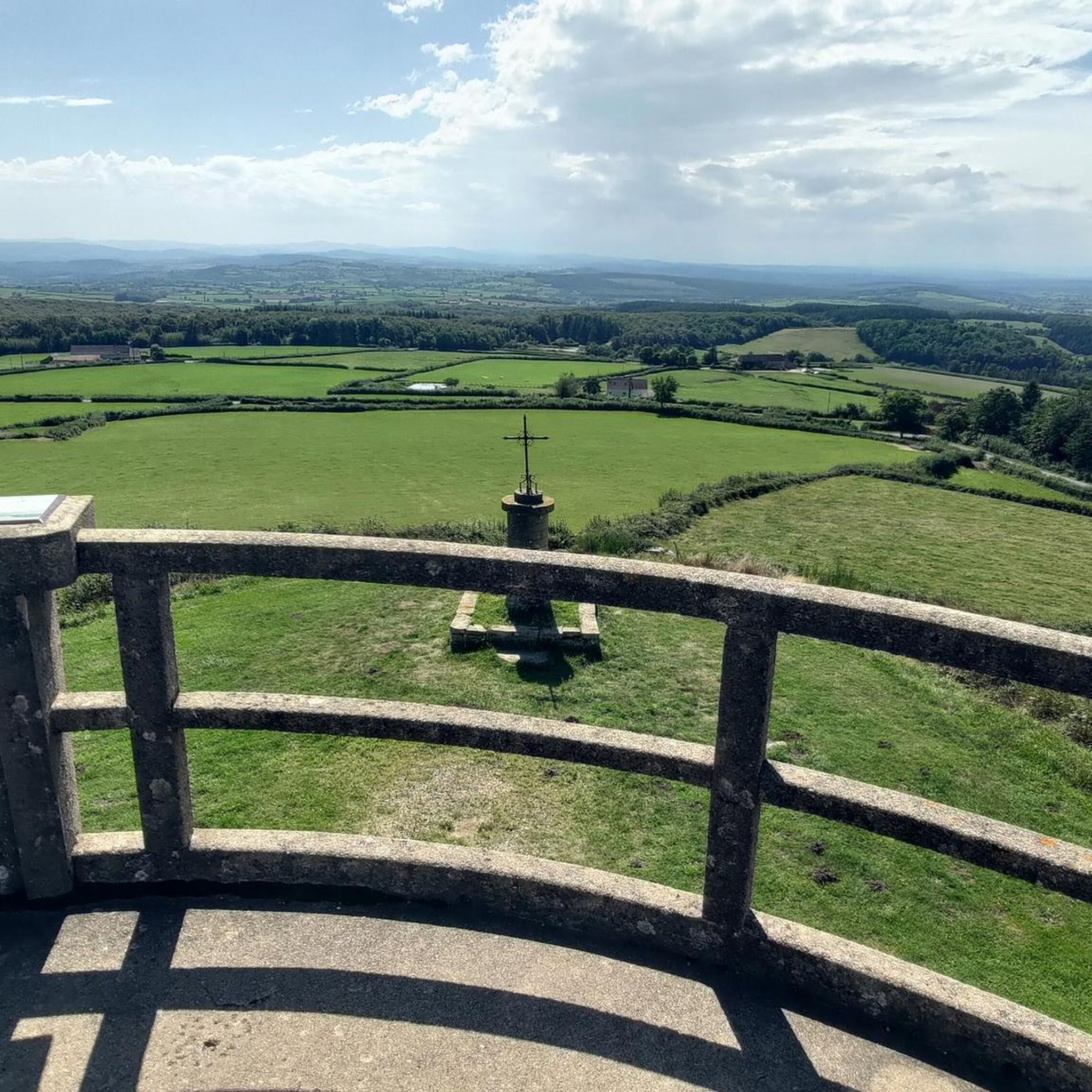
Tips from the Community

360 ° view of the Grosne valley, the Mâconnais, the Charolais ... to the Beaujolais mountains
0
0
Frequently Asked Questions
What kind of terrain can I expect when hiking around Mont-Saint-Vincent?
The terrain around Mont-Saint-Vincent is diverse, featuring rolling hills, verdant meadows, and peaceful woodlands. You'll encounter the characteristic "bocage charolais" landscape, with small fields enclosed by hedges and trees. The area is also notable for being on a water divide, contributing to both Mediterranean and Atlantic basins, and many paths follow historic routes.
Are there many hiking trails available in Mont-Saint-Vincent?
Yes, Mont-Saint-Vincent offers an extensive network of over 100 hiking trails. These routes cater to various fitness levels, from easy loops to more moderate hikes, ensuring there's something for everyone.
What are the difficulty levels of the hikes in this region?
The hiking trails around Mont-Saint-Vincent offer a good mix of difficulties. You'll find approximately 36 easy routes, 59 moderate routes, and 8 more challenging options, allowing you to choose a hike that matches your experience and fitness level.
Are there any family-friendly hiking options in Mont-Saint-Vincent?
Absolutely. Many of the trails are suitable for families, particularly the easier loops. For example, the Mount Saint-Vincent loop from Mont-Saint-Vincent is an easy 5.7 km route that offers scenic views directly from the village, perfect for a family outing.
Can I bring my dog on the hiking trails?
Generally, dogs are welcome on the hiking trails around Mont-Saint-Vincent. However, it's always recommended to keep them on a leash, especially when passing through agricultural areas or near livestock, as the region is known for its local wildlife and grazing animals.
What kind of views can I expect from the trails?
Mont-Saint-Vincent sits at an elevation of around 601-603 meters, offering spectacular 360-degree panoramic views from its belvedere. On clear days, hikers can even glimpse Mont-Blanc in the distance, providing breathtaking scenic rewards throughout your hike.
Are there any interesting landmarks or attractions to see along the hiking routes?
Yes, the area is rich in history and natural beauty. You might encounter historic paths connecting ancient Romanesque churches and old farming areas. Nearby attractions include the Saint-Boil Village and Vineyards, a Historic Washhouse, and even The Culles-les-roches cave. You may also find an Accessible Drinking Water Fountain.
Are there many circular walks available?
Yes, many of the trails around Mont-Saint-Vincent are designed as circular loops, offering convenient starting and ending points. For instance, the Hiking loop from Mont-Saint-Vincent is a moderate 8.5 km path that provides a varied natural experience.
What do other hikers say about the trails in Mont-Saint-Vincent?
The routes in Mont-Saint-Vincent are highly rated by the komoot community, with an average score of 4.7 stars from over 150 reviews. Hikers often praise the tranquil environment, diverse landscapes, and the stunning panoramic views from the elevated village.
Is there public transport available to reach the hiking trails?
While Mont-Saint-Vincent is a picturesque hilltop village, public transport options directly to the trailheads may be limited. It's generally recommended to arrive by car, as this offers the most flexibility for accessing various starting points for the hikes.
Where can I park when visiting Mont-Saint-Vincent for hiking?
Parking is typically available within the village of Mont-Saint-Vincent itself, providing convenient access to many of the local trailheads. Specific parking areas may vary depending on your chosen route, but the village serves as a central point for many excursions.
What is the best time of year to hike in Mont-Saint-Vincent?
Mont-Saint-Vincent offers rewarding hiking experiences throughout much of the year. Spring and autumn provide pleasant temperatures and beautiful scenery, with blooming wildflowers or vibrant fall foliage. Summer is also popular, though it can be warmer, while winter hikes can offer a unique, serene experience, especially on clear days with distant views.
Most popular attractions around Mont-Saint-Vincent

Get inspired with the komoot mobile app


Explore more
Browse the best Hikes in other regions.
