The best road cycling routes around Mantet
4.8
(34)
2,187
riders
15
rides
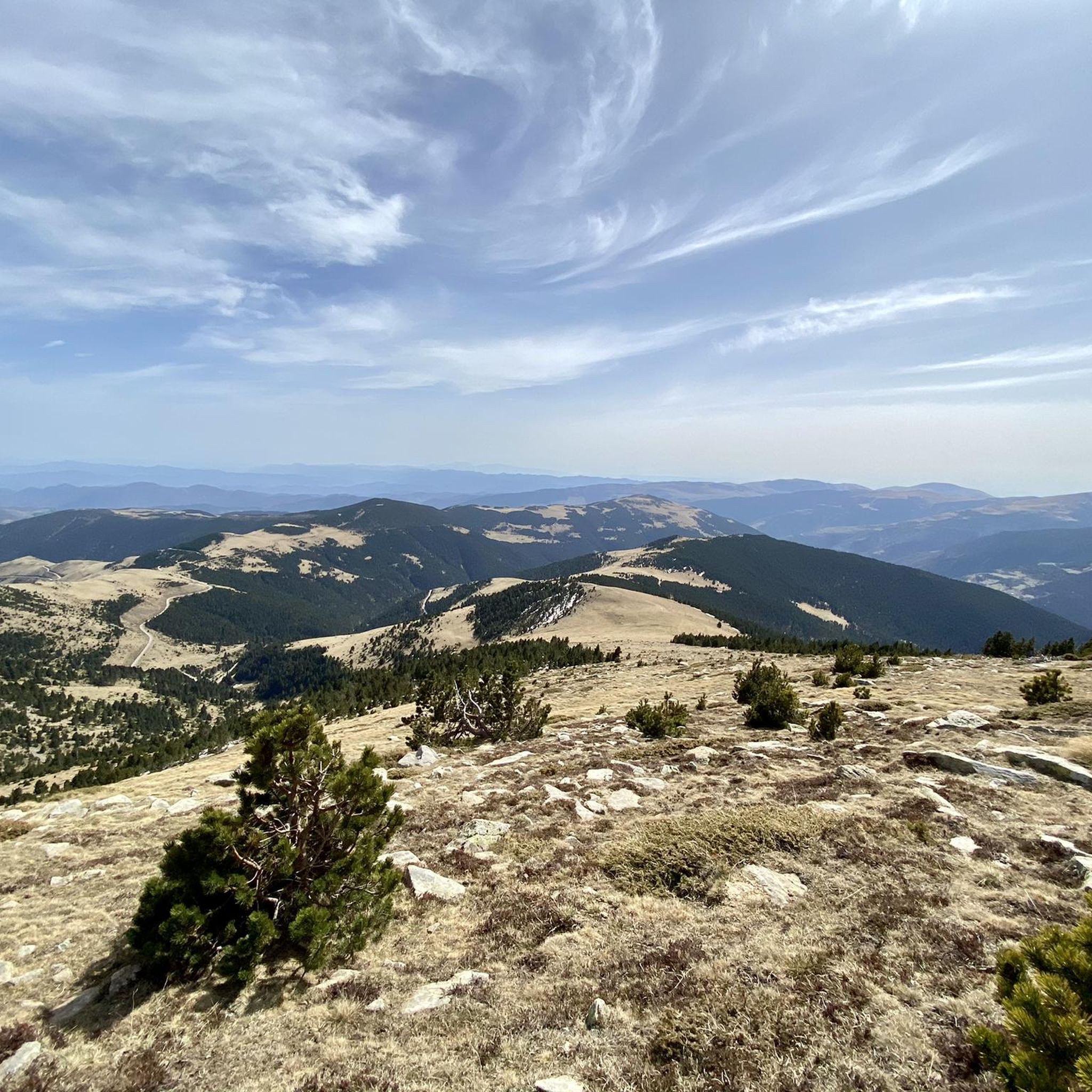
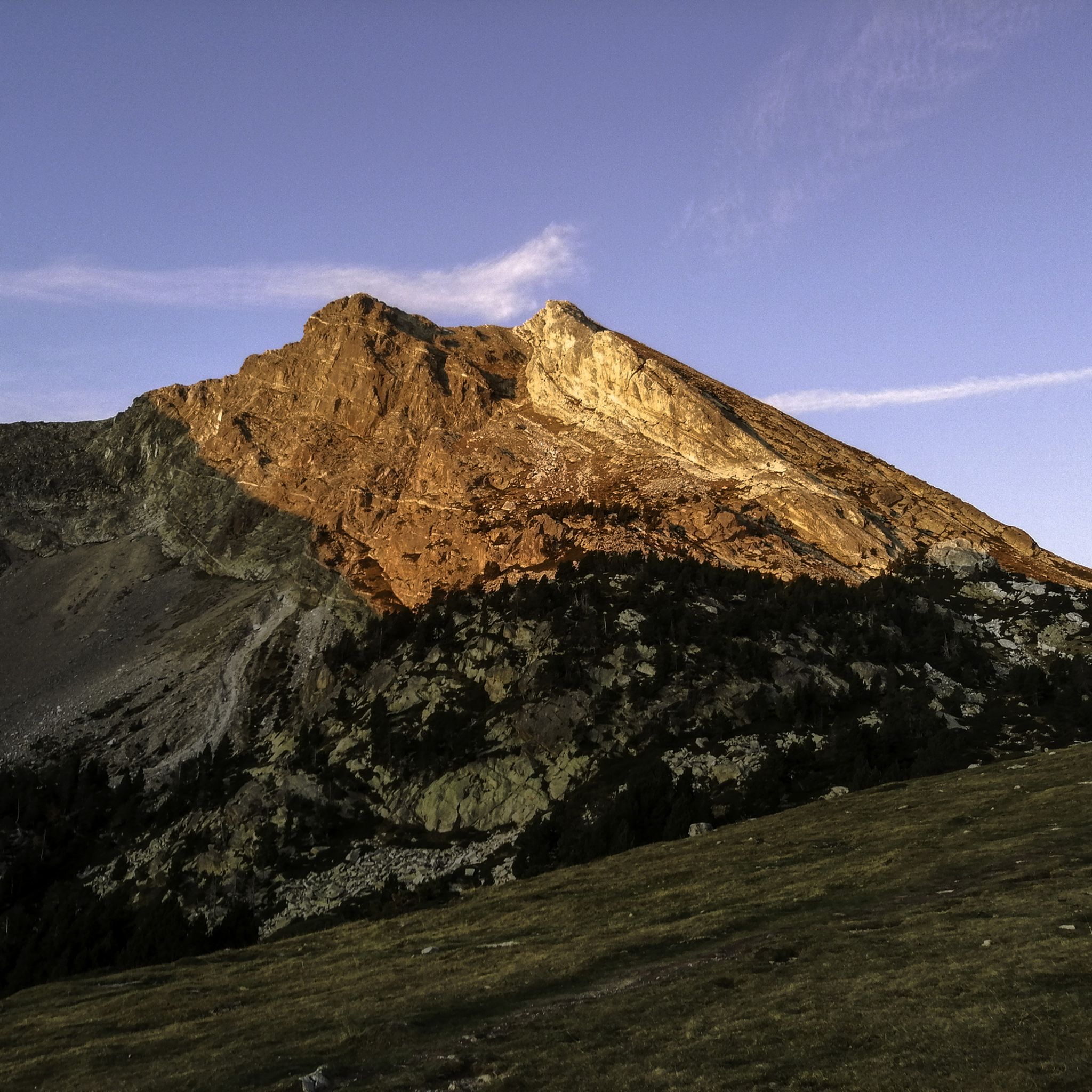
Road cycling routes around Mantet are characterized by mountainous terrain and significant elevation changes, typical of the Eastern Pyrenees. The region features numerous high mountain passes and valleys, offering challenging ascents and descents. Road cyclists can expect winding roads through varied landscapes, including forested sections and open mountain vistas. The area's geography provides a demanding environment for experienced riders.
Best road cycling routes around Mantet
- The most popular road cycling route is Ascent of Mont-Louis and col de la Llose…
Last updated: October 5, 2026
5.0
(1)
140
riders
51.2km
03:11
1,390m
1,390m
Hard road ride. Very good fitness required. Mostly well-paved surfaces and easy to ride.
4.8
(9)
921
riders
70.2km
04:20
1,850m
1,850m
Hard road ride. Very good fitness required. Some segments of this route may be unpaved and difficult to ride.

431
riders
79.3km
03:38
770m
770m
Moderate road ride. Good fitness required. Mostly well-paved surfaces and easy to ride.
5.0
(2)
85
riders
67.3km
03:35
1,220m
1,220m
Hard road ride. Very good fitness required. Some segments of this route may be unpaved and difficult to ride.
4.7
(3)
65
riders
54.1km
03:22
1,500m
1,500m
Hard road ride. Very good fitness required. Some segments of this route may be unpaved and difficult to ride.
Get access to more routes and recommendations from other explorers.
Already have an account?
Our route recommendations are based on thousands of hikes, rides, and runs completed by other people on komoot.
Start today with a free account
Your next adventure awaits.





Tips from the Community

In other places, a road leads right through the village….
0
0


The Grand Menhir of Counozouls weighs 50 tons and is 8.9m high. It is the largest menhir in Southern France.
1
0

Quite a bit of traffic, but a pretty port, especially the final section.
0
0

It's an ideal spot for a picnic. It's also an ideal place for groups of cyclists supported by vans, as there's plenty of space here to relax and not disturb anyone. The lake is at an elevated point, so accessing it from La Llagonne or Les Angles requires a steep climb, always at a lower gradient.
0
0

All of Camprodon is worth visiting!!!
0
0

Small pass at the exit of Ayguatebia which leads back to the Col de Creu. Not cleared of snow from November to March.
0
0
Frequently Asked Questions
What is the general difficulty level of road cycling routes around Mantet?
Road cycling routes around Mantet are predominantly challenging, characterized by mountainous terrain and significant elevation changes. Out of the 12 routes available, 8 are classified as difficult, and 4 as moderate. This region is best suited for experienced riders seeking demanding ascents and descents through the Eastern Pyrenees.
Are there any circular road cycling routes in Mantet?
Yes, Mantet offers several circular road cycling routes. For instance, the Col de la Creu – Col de la Llose loop from Olette is a difficult 70.2 km path with extensive climbs. Another option is the New Bridge of Camprodon – Pastelería Pujol loop from Vallter 2000, a 43.1 km route through mountainous terrain.
What kind of terrain can I expect on road cycling routes near Mantet?
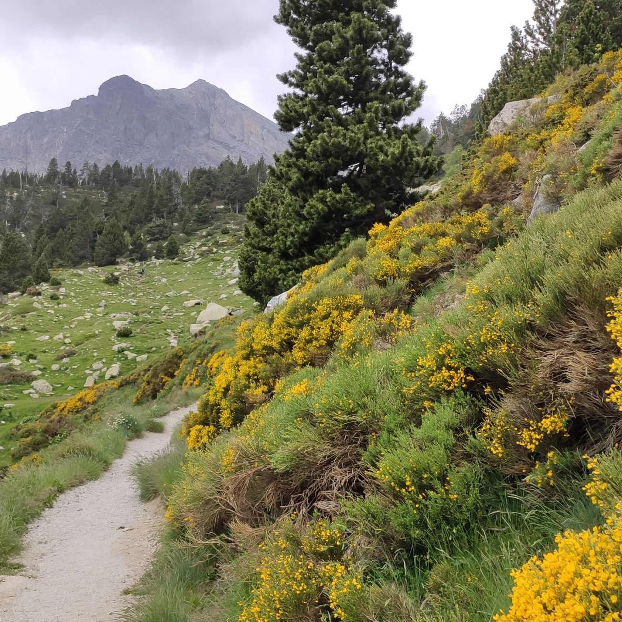
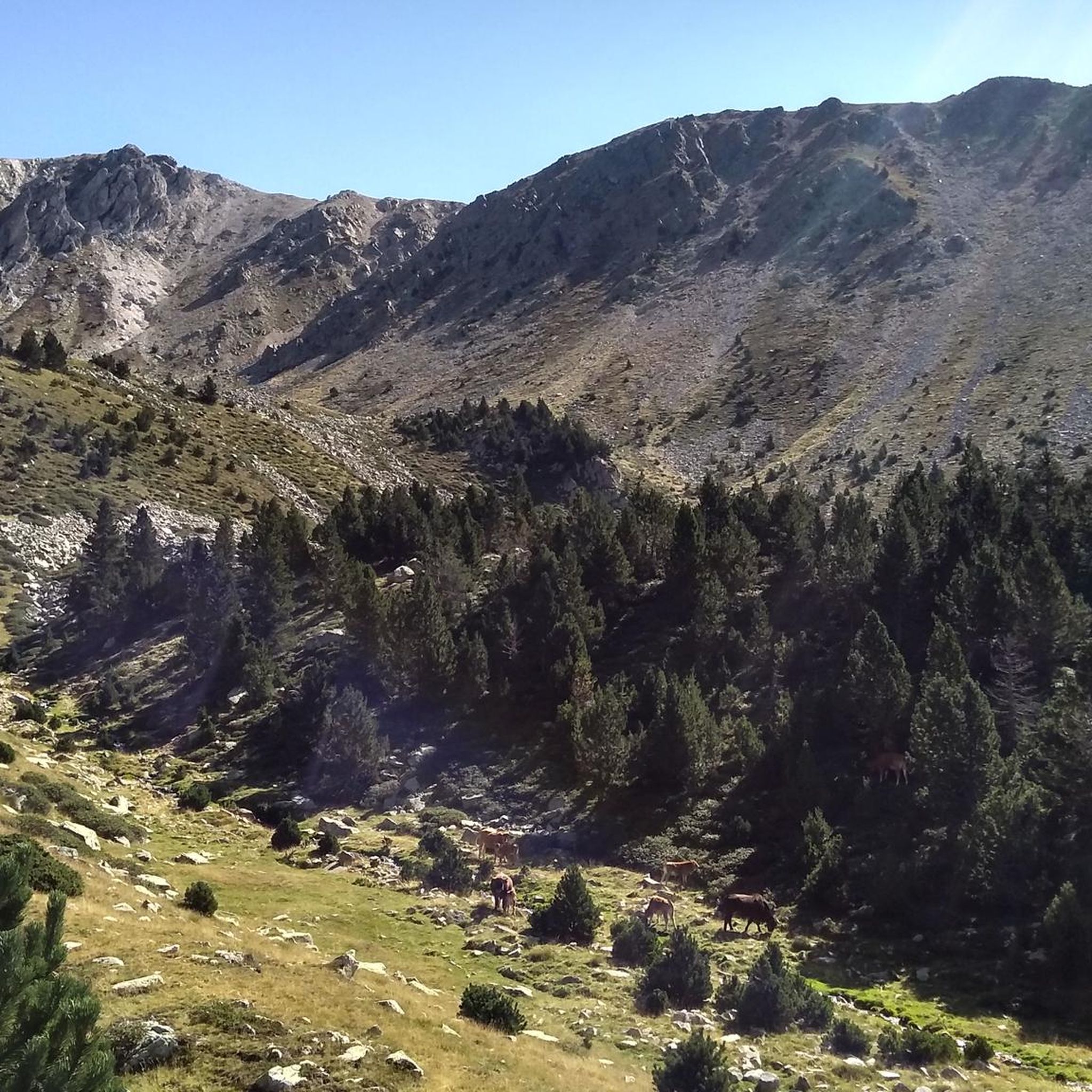
The terrain around Mantet is mountainous, featuring numerous high mountain passes and valleys. Cyclists will encounter winding roads with sustained climbing and challenging descents. The landscapes vary, including forested sections and open mountain vistas, typical of the Eastern Pyrenees.
What are some notable landmarks or natural features to see along the road cycling routes?
While cycling, you can explore several natural features and landmarks. Highlights include the dramatic Carança Corniche, the unique Footbridges of the Carançà Gorge, and the impressive Suspension bridge over the Carança Gorge. These offer stunning views and a chance to experience the region's rugged beauty.
What do other road cyclists say about the routes in Mantet?
The road cycling routes in Mantet are highly regarded by the komoot community, holding an average rating of 4.6 stars from over 20 reviews. Cyclists often praise the challenging mountain passes, high-altitude roads, and scenic valleys that define the region's demanding routes.
Are there any long-distance road cycling routes available in Mantet?
Yes, Mantet offers several routes that can be considered long-distance for road cycling. For example, the Col de la Creu – Col de la Llose loop from Olette covers 70.2 km, and the Ascent of Mont-Louis and col de la Llose is 51.2 km, both featuring significant elevation gains.
What is the best season for road biking in Mantet?
The best season for road biking in Mantet is typically from late spring to early autumn (May to October). During these months, the weather is generally more stable, and the high mountain passes are clear of snow, offering optimal conditions for cycling. Summer provides warmer temperatures, ideal for tackling the challenging climbs.
Are there any places to stop for refreshments or accommodation near the cycling routes?
While specific cafes and pubs directly on every route may vary, the region offers several refuges that can serve as stopping points or even overnight accommodation for cyclists. Examples include the Coma de Vaca Refuge and the Ras de la Carança Refuge, which are located in the surrounding mountainous areas.
Is Mantet suitable for family-friendly road cycling?
Given the mountainous terrain and the classification of most routes as 'difficult' or 'moderate' with significant elevation changes, Mantet's road cycling routes are generally more suited for experienced adult cyclists. Beginners or families with young children might find the routes too challenging.
Where can I find parking for road cycling routes in Mantet?
Parking availability can vary depending on the specific starting point of each route. Generally, you can find parking in the villages and towns that serve as access points to the routes, such as Olette or Setcases, which are common starting points for tours like the Beautiful mountain road – Col de la Llose loop from Olette - Canaveilles-les-Bains.
Are there any viewpoints along the road cycling routes in Mantet?
Yes, the mountainous nature of Mantet means many road cycling routes offer spectacular viewpoints. As you ascend the high mountain passes and navigate winding roads, you'll be treated to panoramic vistas of the Eastern Pyrenees, including forested valleys and open mountain landscapes.
How many road cycling routes are available around Mantet?
There are over 10 road cycling routes available around Mantet, with a total of 12 tours listed. These routes primarily cater to experienced cyclists due to the challenging mountainous terrain.
Most popular attractions around Mantet

Get inspired with the komoot mobile app


Explore more
Browse the best Road cycling routes in other regions.
