The best running trails around Lamanère
4.2
(13)
796
runners
59
runs
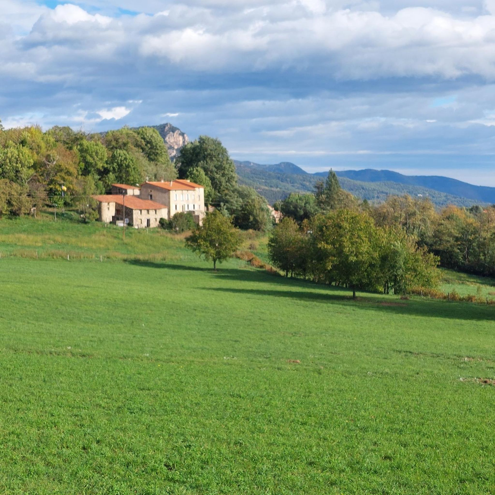
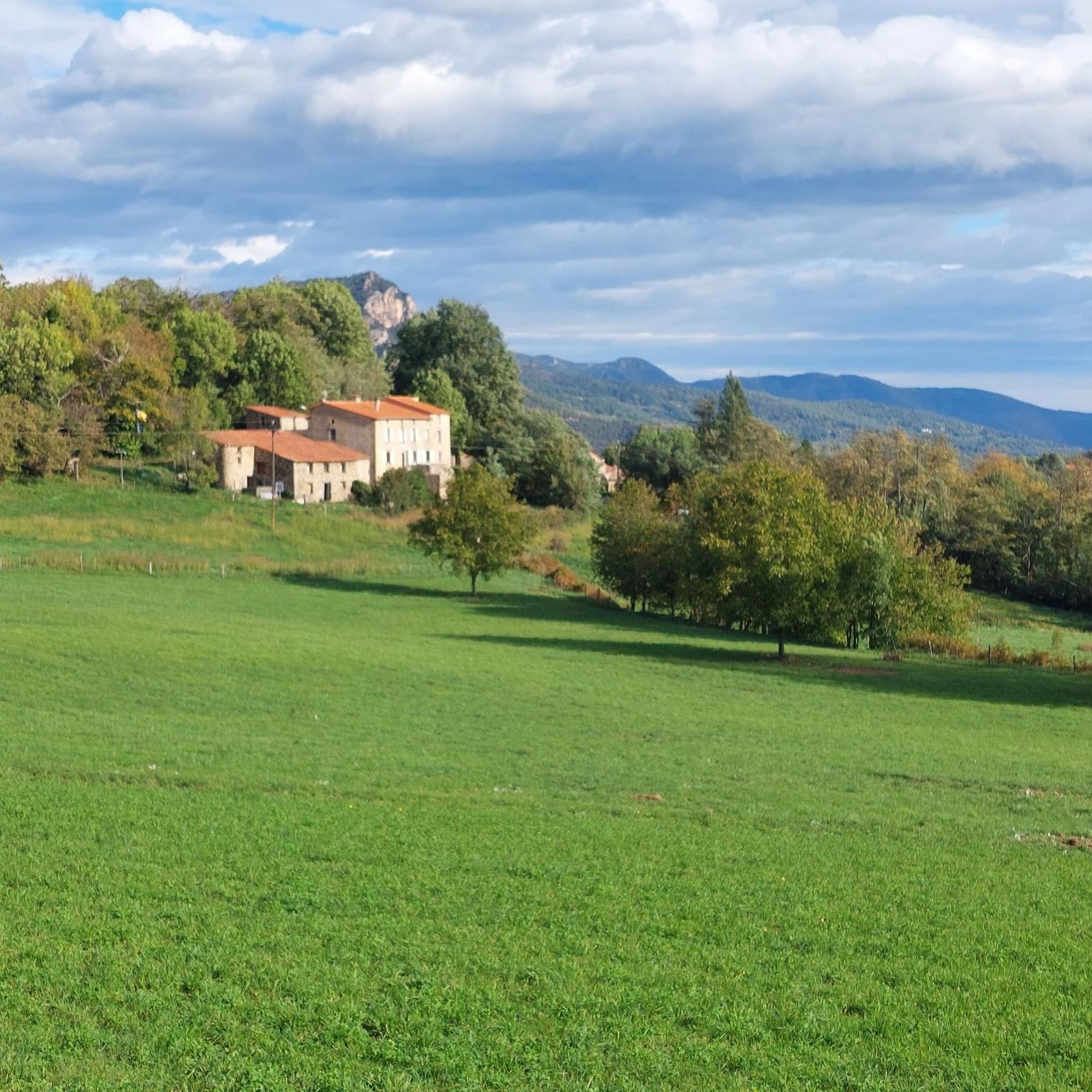
Jogging routes around Lamanère are set within a vibrant, green mountainous landscape in the Pyrénées-Orientales. The region features diverse elevations, lush forests of chestnut and beech, and trails along the border ridge with Spain. This terrain provides a varied environment for trail running, from challenging ascents to paths winding through natural beauty.
Best jogging routes around Lamanère
- The most popular jogging route is Coll de les Falgueres loop from Lamanère, a 9.7 miles (15.6 km) trail that takes 2 hours 21 minutes to complete, featuring significant elevation gain through mountainous terrain.
- Another top favourite among local runners is Coll d'Arès – Coll d'Ares loop from Col d'Ares, a moderate 7.2 miles (11.6 km) path, offering varied elevations and green landscapes.
- Local runners also love the Miracles Peak – Dolmen of Castillo loop from Prats-de-Mollo-la-Preste, a 6.6 miles (10.6 km) trail leading through mountainous terrain, often completed in about 1 hour 44 minutes.
- Jogging around Lamanère is defined by mountainous terrain, green landscapes, and border ridges. The network offers options for various fitness levels, from moderate to challenging.
- The routes in Lamanère are highly rated by the komoot community with an average score of 4.4 stars from over 13 reviews. More than 700 runners have used komoot to explore Lamanère's varied terrain.
Last updated: August 8, 2026
5.0
(1)
39
runners
16.1km
02:26
780m
780m
Hard run. Very good fitness required. Mostly paved surfaces. Suitable for all skill levels.
10
runners
10.6km
01:45
700m
700m
Hard run. Very good fitness required. Mostly paved surfaces. Suitable for all skill levels.

Sign up for free
3.0
(1)
26
runners
45.7km
06:55
2,360m
2,360m
Hard run. Very good fitness required. Mostly paved surfaces. Suitable for all skill levels.
13
runners
13.1km
02:03
690m
690m
Hard run. Very good fitness required. Mostly paved surfaces. Suitable for all skill levels.
13
runners
7.78km
01:17
370m
370m
Hard run. Very good fitness required. Sure-footedness, sturdy shoes and alpine experience required.
Get access to more routes and recommendations from other explorers.
Sign up for free
Already have an account?
Our route recommendations are based on thousands of hikes, rides, and runs completed by other people on komoot.
Start today with a free account
Your next adventure awaits.
Login or Signup

Tips from the Community

from the French side a regular ascent to the pass
0
0

Small town of Beget, architectural heritage of Catalonia, well known for its cobbled streets and houses and for the landscape that surrounds it, the Alta Garrotxa.
0
0

A pass that is not too difficult to climb and offers a magnificent landscape when crossing the border at the summit.
0
0

It is a mountain pass located at an altitude of 1,513 metres, on the border between France and Spain, connecting Vallespir (France) with Ripollès (Catalonia, Spain). It is a historic and strategic place, used for centuries as a trade route and also during the Retirada (1939), when thousands of refugees crossed the pass fleeing the Spanish Civil War. Today, it is a popular hiking spot and offers spectacular panoramic views of the Pyrenees.
6
0
Although it is no longer the main centre of worship for the village, it is still used on special occasions and religious festivals. Its preservation has been essential to preserving the region's medieval heritage. It has remained relatively intact over the centuries, although it has surely undergone restorations to maintain its original structure.
5
0
Like other Romanesque churches in the region, it is built of stone with thick walls. Its structure has a single nave, and its semicircular apse is typical of the Romanesque style. The simplicity of the construction reflects the austerity of the religious architecture of the time in rural areas such as Serralongue. It also has a small bell tower.
5
0
The Church of Sainte-Marie dates back to the 11th century, making it one of the oldest churches in the area. It was built at a time when the Romanesque style predominated in religious architecture, giving it a robust and simple character, with basic geometric shapes and few decorations.
5
0
The presence of two important churches in Serralongue reflects the importance of religious life in Vallespir over the centuries. It also reinforces the idea that the village was an important place both in the spiritual sphere and in border defence during the Middle Ages.
5
0
Frequently Asked Questions
How many running routes are available around Lamanère?
Lamanère offers a wide selection of trails for runners, with over 50 routes documented on komoot. These routes vary in difficulty, providing options for different fitness levels within the region's mountainous and green landscapes.
Are there any easy or beginner-friendly jogging routes in Lamanère?
While Lamanère is known for its challenging mountainous terrain, there are some moderate options available. For instance, the Coll d'Arès – Coll d'Ares loop from Col d'Ares is a moderate 7.2 miles (11.6 km) path with varied elevations, suitable for those looking for a less strenuous run than the more difficult trails.
What kind of scenery can I expect on the jogging trails in Lamanère?
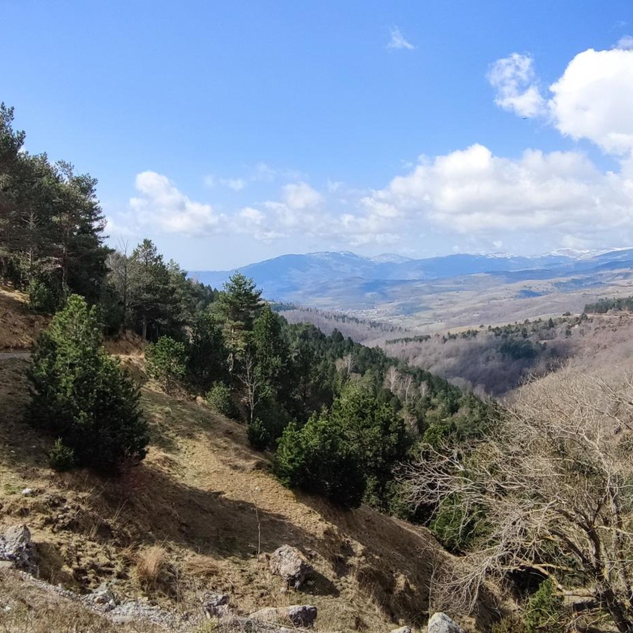
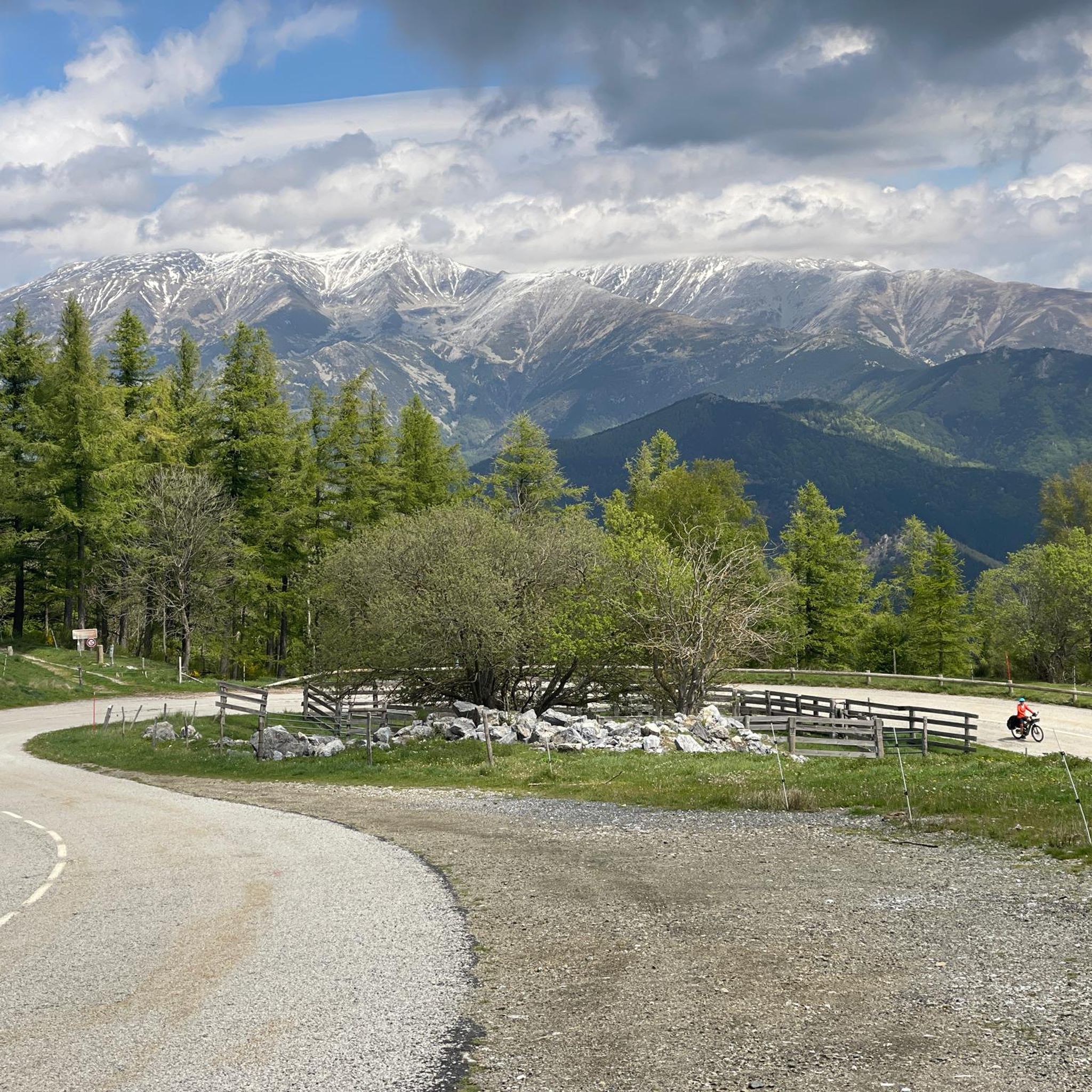
Jogging routes in Lamanère offer stunning natural beauty. You'll experience lush green landscapes, dense forests of chestnut and beech, and trails along the border ridge with Spain. Many paths provide exceptional panoramas of the Pyrenees mountain range and even views towards the Canigou massif.
Are there any circular running routes in the Lamanère area?
Yes, many of the running routes around Lamanère are circular, allowing you to start and finish in the same location. A popular example is the Coll de les Falgueres loop from Lamanère, which is a challenging 9.7 miles (15.6 km) trail through mountainous terrain.
What do other runners say about the trails in Lamanère?
The running routes in Lamanère are highly regarded by the komoot community, boasting an average rating of 4.4 stars from over 13 reviews. Runners often praise the varied terrain, the beautiful mountain scenery, and the challenging nature of the trails, which provide a rewarding experience.
Can I find routes with historical or cultural points of interest?
Absolutely. Some trails in the region offer a historical dimension, such as the 'Circuit n°5 Chemin de la Mémoire,' which traces the path of Spanish refugees. Additionally, a scenic run can lead you to the majestic Hermitage of Notre Dame du Coral, a significant local landmark.
Are there any specific landmarks or attractions I can see while running near Lamanère?
Yes, several interesting landmarks are accessible from the running routes. You could encounter mountain passes like Coll d'Arès, or explore charming settlements such as Prats-de-Mollo-la-Preste. For a more challenging run, consider a route that leads to the Cabrenç Towers, offering panoramic views.
What is the best time of year for jogging in Lamanère?
Lamanère's lush green landscape suggests that spring and autumn would be ideal for running, offering pleasant temperatures and vibrant scenery. While the mountainous terrain provides year-round opportunities, checking local weather conditions, especially in winter, is advisable due to potential snow or challenging conditions at higher elevations.
Are there any long-distance or challenging running routes for experienced trail runners?
Lamanère is an excellent destination for experienced trail runners seeking a challenge. Routes like the Prats-de-Mollo-la-Preste loop from Barrage de l'Abeillanouse, spanning over 38 km with significant elevation gain, cater to those looking for demanding, long-distance runs. The region even hosts mountain races, indicating its suitability for advanced runners.
Are the running trails in Lamanère suitable for families?
The region offers a range of trail difficulties, from moderate to challenging. While many routes involve significant elevation, there are options that are less strenuous and could be suitable for active families. It's recommended to check the specific route details for distance and elevation to ensure it matches your family's fitness level.
Can I bring my dog on the jogging routes in Lamanère?
The natural and mountainous environment of Lamanère generally welcomes dogs on trails. However, it's always best to check local regulations for specific paths or protected areas, and ensure your dog is well-behaved and kept on a leash, especially when encountering wildlife or other trail users.
Are there routes that offer exceptional viewpoints?
Many routes in Lamanère are renowned for their spectacular views. Trails along the border ridge with Spain, such as those leading to Coma Negra, offer an exceptional panorama of the entire Pyrenees mountain range. The Cabrenç Towers also provide a 360° view, including glimpses of the sea on clear days.
What is the typical duration for a running route in Lamanère?
The duration of running routes in Lamanère varies significantly based on distance and elevation. For example, a moderate route like the Coll d'Ares – Col d'Ares loop from Col d'Ares, which is 9.6 km, typically takes around 1 hour 15 minutes. More challenging routes can take several hours to complete.
Most popular attractions around Lamanère

Get inspired with the komoot mobile app


Explore more
Browse the best Running Trails & Routes in other regions.
