The best mountain hikes in the Südpfalz
4.9
(34)
134
hikers
28
hikes
Mountaineering routes in the Südpfalz traverse a landscape defined by unique geological features and extensive forests. The region is characterized by impressive red sandstone towers and cliffs, offering diverse climbing experiences. It is home to the Palatinate Forest, Germany's largest continuous woodland area, featuring rolling hills. Peaks like Kalmit, the highest mountain in the Palatinate Forest at 673 meters, provide significant elevation gains for mountaineering.
Best mountaineering routes in the Südpfalz
- The most popular mountaineering route is Bishop’s Cross on…
Last updated: October 5, 2026
4.0
(4)
8
hikers
Hard mountaineering route. Very good fitness required. Mostly accessible paths. Sure-footedness required.
4
hikers
6.49km
02:11
250m
250m
Moderate mountaineering route. Good fitness required. Mostly accessible paths. Sure-footedness required.

5.0
(1)
11
hikers
9.81km
03:27
370m
370m
Moderate mountaineering route. Good fitness required. Mostly accessible paths. Sure-footedness required.
5
hikers
10.6km
03:29
450m
450m
Moderate mountaineering route. Good fitness required. Mostly accessible paths. Sure-footedness required.
4.7
(3)
2
hikers
11.8km
03:39
430m
440m
Moderate mountaineering route. Good fitness required. Easily-accessible paths. Suitable for all skill levels.
4
hikers
12.0km
03:33
340m
340m
Moderate mountaineering route. Good fitness required. Mostly accessible paths. Sure-footedness required.
5.0
(1)
3
hikers
16.8km
05:05
540m
540m
Hard mountaineering route. Very good fitness required. Easily-accessible paths. Suitable for all skill levels.
2
hikers
8.09km
02:36
350m
350m
Moderate mountaineering route. Good fitness required. Easily-accessible paths. Suitable for all skill levels.
3
hikers
7.59km
02:12
190m
200m
Moderate mountaineering route. Good fitness required. Mostly accessible paths. Sure-footedness required.
2
hikers
15.3km
04:47
560m
560m
Moderate mountaineering route. Good fitness required. Mostly accessible paths. Sure-footedness required.
Get access to more routes and recommendations from other explorers.
Already have an account?
Our route recommendations are based on thousands of hikes, rides, and runs completed by other people on komoot.
Start today with a free account
Your next adventure awaits.
Popular around Südpfalz

Mountain Hikes in Südliche Weinstraße

Mountain Hikes in Landau in der Pfalz
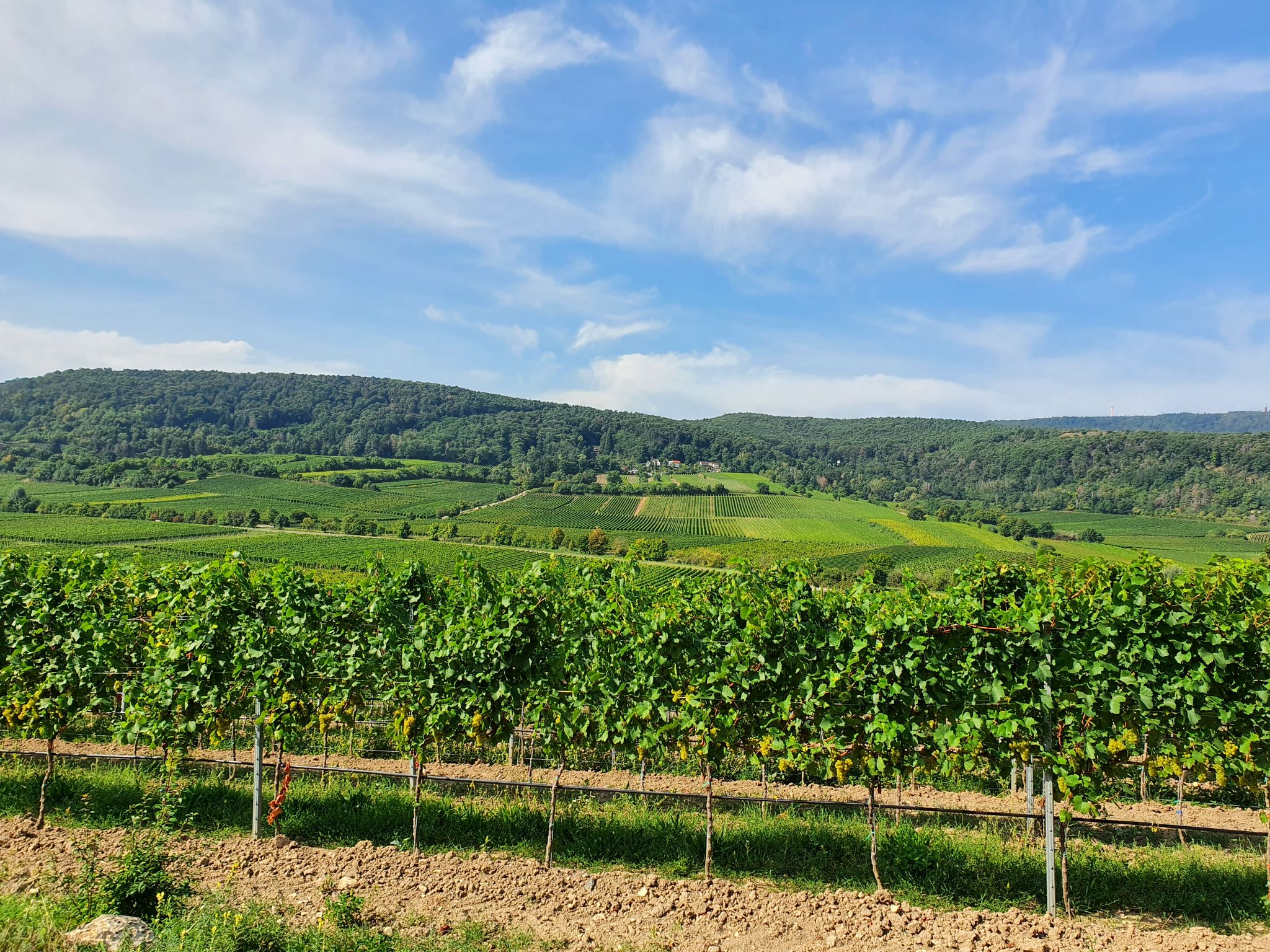
The German Wine Route through the Palatinate — Come here, walk away!
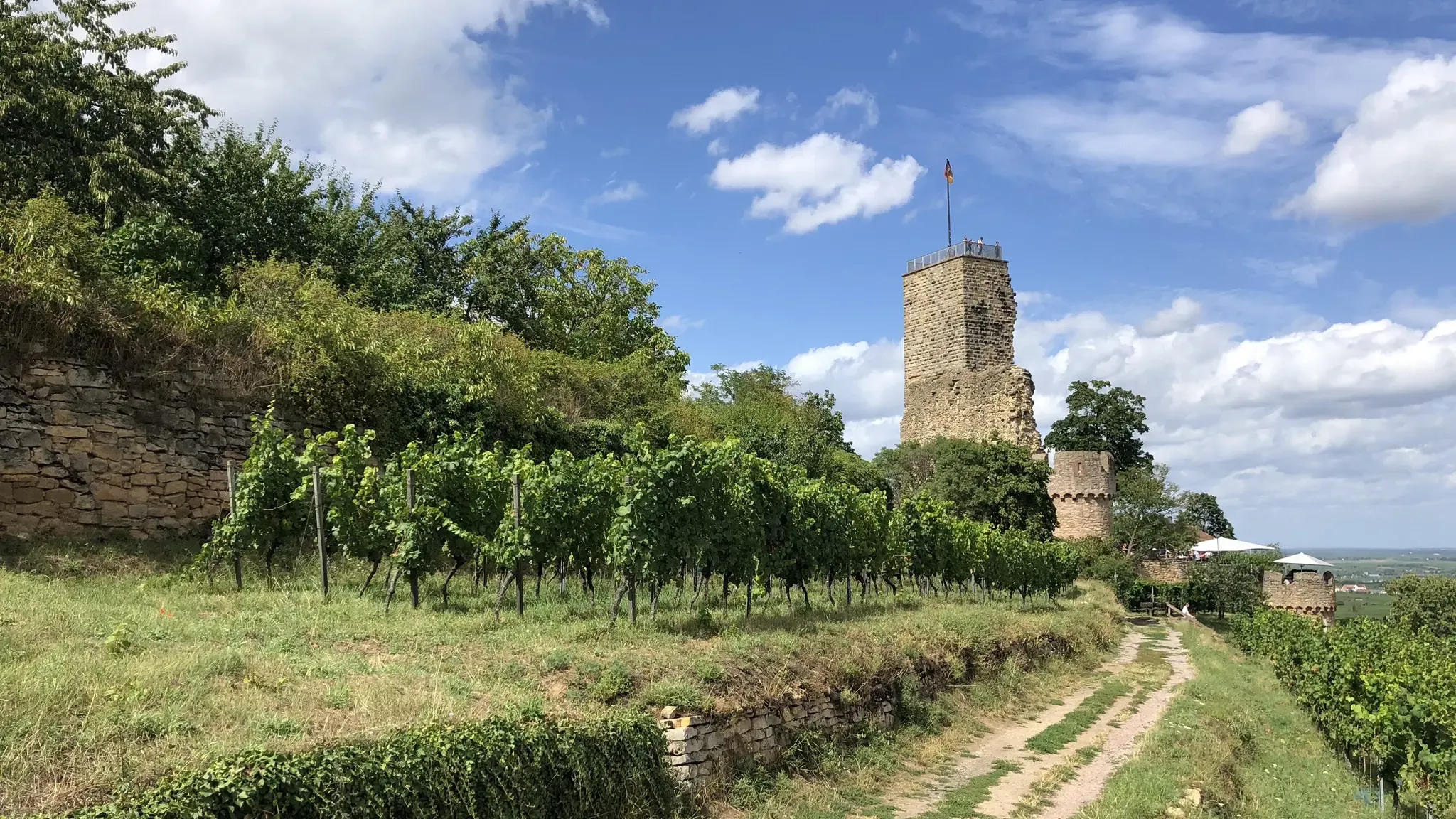
Pfälzer Weinsteig trail – 11 stages along forests and vinyards

The Rhine Cycle Path — From the source to the North Sea
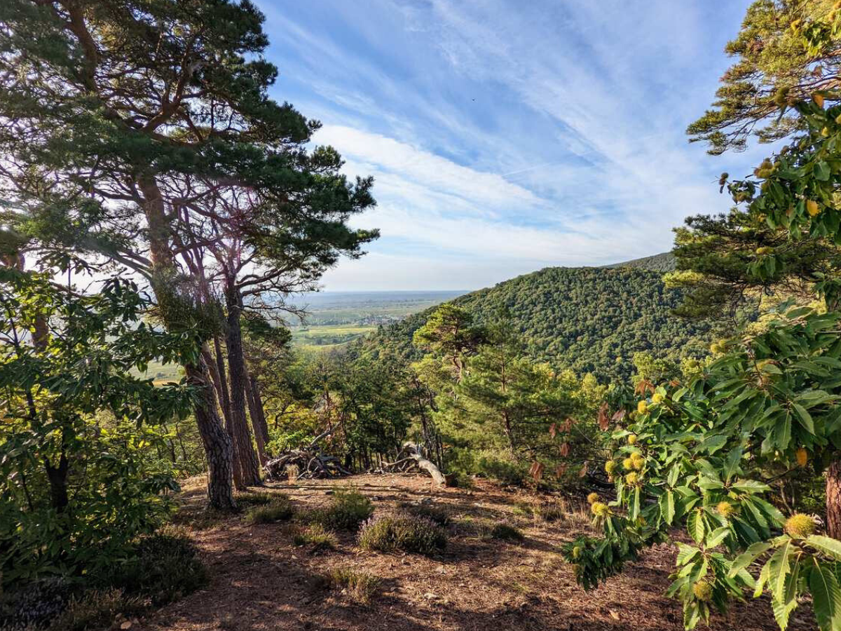
High up in the Palatinate - Around the highest of the Palatinate Forest

From the Vosges to the Jura mountains – Hexatrek, le Grand Est
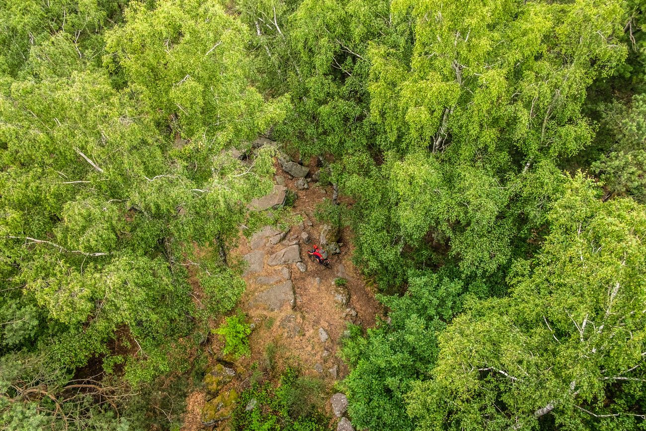
Pfälzerwald-Bikepacking: Four stages with the Gravelbike
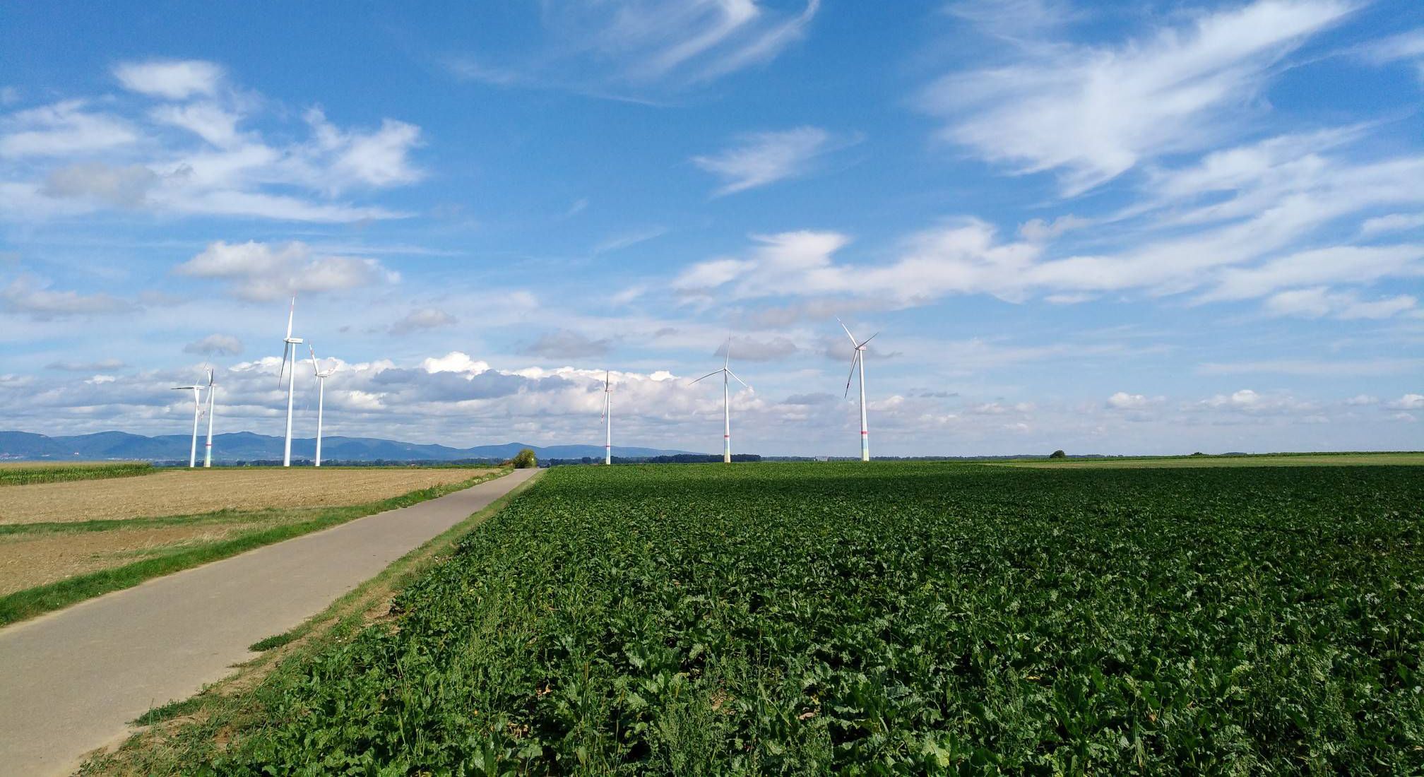
The 'Kraut und Rüben' cycleway — through the Palatinate in 3 stages
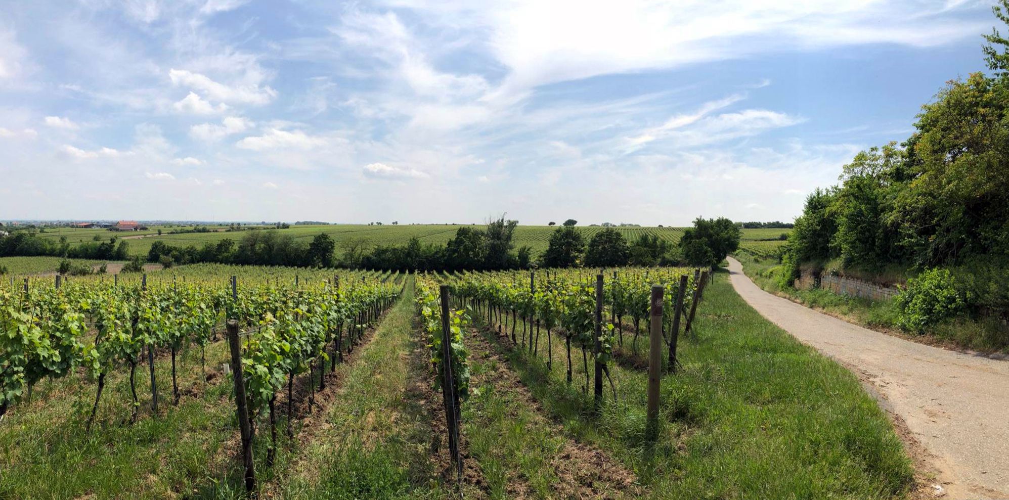
Explore the Palatinate region — German Wine Cycle Route
Other adventures in the Südpfalz


Tips from the Community

The Dimbacher Buntsandstein Höhenweg is an approximately 9.5 km long premium circular hiking trail in the Pfälzerwald, which leads past the striking Isselmannsteine, among other things.
2
0
From the summit and rock ledge of the Dimberg (420 m) on the Dimbacher Buntsandstein-Höhenweg, you can enjoy a magnificent, deep view into the valley, onto the village of Dimbach, and to the northeast towards the striking Geiersteine.
3
0

On the occasion of an interview about the writings of Saint Augustine (354 to 430), one question was what would the Bishop of Hippo want to say to us people of today? „I believe he would call on us to allow ourselves the luxury of silence, because we are all in a perpetual vortex of noise. And this is now the true luxury: a space of silence… in which one simply listens to the voice of one's own heart… We never listen to our heart, which is the most precious thing we have.“ (Silvia Guidi, L'Osservatore Romano). The rest area set up at this small sacred monument located here can invite us to do just that.
0
0


From Hambach Castle, you have a wonderful view of the Rhine plain. In good visibility, the Odenwald forest is also very clearly visible.
0
0

Locals often refer to it as the "Wetterkreuz" instead of the Bischofskreuz. The last approx. 100 m to the summit can be managed with a mountain bike, but older bikers should partially push their bikes due to numerous tree roots and stones.
0
0

A very beautiful path leads past the stone pyramid, which marks the highest point of the Blätterberg. But there are other markings here too. Ancient boundary stones and rocks with boundary marks can be found on the path. The cross stands for the Hochstift Speyer.
1
0

And we owe it to the formation of the Alps... they press down on the Earth's crust, which couldn't withstand the pressure... and broke apart and was pushed upwards.
7
0
Frequently Asked Questions
How many mountaineering routes are available in the Südpfalz?
The Südpfalz region offers over 30 mountaineering routes, catering to various skill levels from easy to difficult. These trails traverse the unique sandstone rock formations and the extensive Palatinate Forest.
What kind of terrain can I expect on mountaineering routes in the Südpfalz?
Mountaineering in the Südpfalz is characterized by its impressive red sandstone formations and the dense Palatinate Forest. You'll encounter rolling hills, forested paths, and dramatic rock features, with routes offering varied topography including ascents to peaks like Kalmit.
Are there any easy mountaineering routes suitable for beginners?
Yes, the Südpfalz has routes suitable for beginners. For example, the Hoher Kopf Rock Formation – Dimbach Oak Spot loop from Dimbach is a moderate 4.0-mile (6.5 km) trail that takes about 2 hours 10 minutes, leading through the Palatinate Forest and past notable rock formations without extreme difficulty.
Which routes offer the best views in the Südpfalz?
For expansive views, consider routes that ascend to higher points. The Wetterkreuz on Teufelsberg loop from Albersweiler (Pfalz) is a difficult 13.3-mile (21.4 km) path with significant elevation gain, offering broad vistas from the Teufelsberg area. Additionally, the Kalmit, the highest mountain in the Palatinate Forest, provides breathtaking views of the Upper Rhine Valley.
Are there any circular mountaineering routes in the Südpfalz?
Many mountaineering routes in the Südpfalz are circular, allowing you to start and end at the same point. An example is the Hohe Loog House – Hohe Loog Summit (619 m) loop from Maikammer, a moderate 11.8-mile (19.0 km) route that takes around 3 hours 40 minutes.
What interesting landmarks can I see along the mountaineering routes?
The Südpfalz is rich in historical landmarks. Many routes pass by medieval castles and ruins. You might encounter sites like Trifels Castle, Landeck Castle, or the Madenburg Castle Ruins. The region's unique sandstone rock formations are also natural landmarks, such as the Rötzenfelsen near Dimbach.
Are there any mountaineering routes that are suitable for families?
While many routes involve significant elevation, some are more accessible. For a family-friendly option, consider the Falkenburg Ruins – Middle Deichenwand Viewpoint loop from Wilgartswiesen. This moderate 5.1-mile (8.2 km) route takes about 2 hours 30 minutes and includes historical ruins that can be engaging for children.
What do other mountaineers enjoy most about the Südpfalz?
The Südpfalz is highly rated by the komoot community, with an average score of 4.9 stars. Mountaineers often praise the region's diverse topography, the impressive sandstone rock formations, and the extensive, well-maintained trails through the Palatinate Forest. The combination of natural beauty and historical sites is also a frequent highlight.
Are there any mountaineering routes around 4-6 hours in duration?
Yes, several routes fall within this duration. The St. Martin Church – Weinstube Altes Rathaus loop from Sankt Martin is a moderate 6.4-mile (10.3 km) route that typically takes around 3 hours 20 minutes. For a longer option, the Keeshäwel Rock Formation – Immersberg loop from Schwanheim is a difficult 11.2-mile (18.1 km) trail that takes approximately 5 hours 49 minutes.
What is the best time of year for mountaineering in the Südpfalz?
The Südpfalz is enjoyable for mountaineering throughout much of the year. Spring and autumn offer pleasant temperatures and vibrant scenery, with autumn showcasing the Palatinate Forest's rich colors. Summer is also popular, though it can be warmer. Winter mountaineering is possible, but some trails may require more caution due to conditions.
Are there places to eat or stay near the mountaineering routes?
Yes, the region has various options for refreshments and accommodation. The Kalmithaus, located at 673 meters on the Kalmit summit, is the first and oldest hiking hut in the region, offering rest and refreshments with panoramic views. Many towns and villages near the trails, such as Sankt Martin, also offer cafes, pubs, and guesthouses.
Can I find less crowded mountaineering trails in the Südpfalz?
While some popular routes can see more traffic, the vast network of trails in the Palatinate Forest means it's often possible to find quieter paths. Exploring routes slightly off the main tourist hubs or visiting during off-peak times can lead to a more secluded experience. The region's extensive woodland provides ample opportunities for peaceful exploration.
Most popular routes in the Südpfalz
Most popular attractions in the Südpfalz

Get inspired with the komoot mobile app


Didn’t find what you were looking for?
Check out more Mountain Hikes & Routes throughout Südpfalz below and find the perfect route in your destination.
Explore more
Browse the best Mountain Hikes & Routes in other regions.
