The best mountain hikes around Weyher in der Pfalz
4.6
(8)
29
hikers
9
hikes
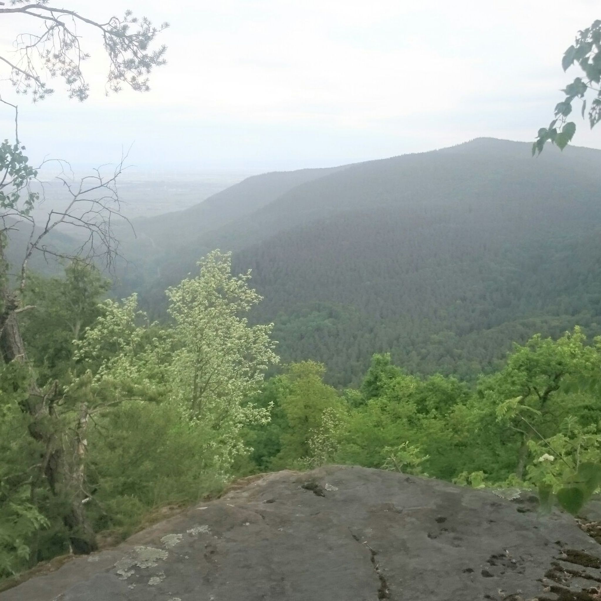
Mountaineering around Weyher in der Pfalz is characterized by its location in the foothills of a chestnut tree forest, offering views over the Rhine valley and access to the wider Palatinate Forest. The region features a diverse landscape of vineyards, dense woodlands, and sandstone formations, particularly in the nearby Dahner Felsenland. Elevations include hills and summits like Blättersberg, providing varied terrain for ascents and traverses.
Best mountaineering routes around Weyher in der Pfalz
- The most popular mountaineering route is Bishop’s Cross on Teufelsberg – Dreimärker Stone loop from Albersweiler (Pfalz), a 13.75 miles (22.1 km) trail that takes 6 hours 49 minutes to complete. This difficult route explores significant landmarks and offers challenging ascents.
- Another top favourite among local mountaineers is St. Martin Church – Weinstube Altes Rathaus loop from Sankt Martin, a moderate 6.38 miles (10.3 km) path. This route winds through the scenic surroundings of Sankt Martin, connecting cultural points with natural landscapes.
- Local mountaineers also love the Hohe Loog House – Hohe Loog Summit (619 m) loop from Maikammer, a 7.32 miles (11.8 km) trail leading through forested areas to a prominent summit, often completed in about 3 hours 39 minutes.
- Mountaineering around Weyher in der Pfalz is defined by chestnut forests, vineyards, and sandstone rock formations. The network offers options for various ability levels, from moderate ascents to more difficult summit routes.
- The routes in Weyher in der Pfalz are highly rated by the komoot community with an average score of 4.7 stars from more than 5 reviews. More than 20 mountaineers have used komoot to explore Weyher in der Pfalz's varied terrain.
Last updated: October 5, 2026
4.0
(4)
8
hikers
Hard mountaineering route. Very good fitness required. Mostly accessible paths. Sure-footedness required.
5
hikers
10.6km
03:29
450m
450m
Moderate mountaineering route. Good fitness required. Mostly accessible paths. Sure-footedness required.

4.7
(3)
2
hikers
11.8km
03:39
430m
440m
Moderate mountaineering route. Good fitness required. Easily-accessible paths. Suitable for all skill levels.
4
hikers
12.0km
03:33
340m
340m
Moderate mountaineering route. Good fitness required. Mostly accessible paths. Sure-footedness required.
5.0
(1)
3
hikers
16.8km
05:05
540m
540m
Hard mountaineering route. Very good fitness required. Easily-accessible paths. Suitable for all skill levels.
Get access to more routes and recommendations from other explorers.
Already have an account?
Our route recommendations are based on thousands of hikes, rides, and runs completed by other people on komoot.
Start today with a free account
Your next adventure awaits.
Tips from the Community

On the occasion of an interview about the writings of Saint Augustine (354 to 430), one question was what would the Bishop of Hippo want to say to us people of today? „I believe he would call on us to allow ourselves the luxury of silence, because we are all in a perpetual vortex of noise. And this is now the true luxury: a space of silence… in which one simply listens to the voice of one's own heart… We never listen to our heart, which is the most precious thing we have.“ (Silvia Guidi, L'Osservatore Romano). The rest area set up at this small sacred monument located here can invite us to do just that.
0
0


Locals often refer to it as the "Wetterkreuz" instead of the Bischofskreuz. The last approx. 100 m to the summit can be managed with a mountain bike, but older bikers should partially push their bikes due to numerous tree roots and stones.
0
0

is located on the Höhenstrasse to Triefels Castle
0
1

very good food, nice host.
0
0


"The weather cross, consecrated in 1909 by Bishop Konrad von Busch (1847-1910) of Speyer, was created by stonemason Johann Minges and is the highest weather cross on the Haardt mountain range. Locally, it is also known as the Bishop's Cross." Source (quoted verbatim): https://www.kuladig.de/Objektansicht/KLD-272330 The following text (difficult to read) is inscribed on the base of the cross: "Behold the Cross of the Lord! // Flee, you hostile forces! // The Lion of Judah. // The Root of David has triumphed! // Alleluia, Alleluia! // (St. Anthony of Padua)" A vineyard (large vineyard area) in the Southern Palatinate is also called "Bischofskreuz" (Bishop's Cross).
3
0

Frequently Asked Questions
What types of mountaineering routes can I find around Weyher in der Pfalz?
Weyher in der Pfalz offers a diverse range of mountaineering routes, characterized by chestnut forests, vineyards, and sandstone formations. You'll find options from moderate ascents through scenic landscapes to more challenging summit routes. The region is part of the wider Palatinate Forest, known for its varied terrain.
Are there any challenging mountaineering routes for experienced climbers?
Yes, for experienced mountaineers, there are challenging routes available. One such demanding option is the Bishop’s Cross on Teufelsberg – Dreimärker Stone loop from Albersweiler (Pfalz), which covers over 22 km and involves significant elevation gain, typically taking nearly 7 hours to complete. Another difficult route is the St. Martin Church – Weinstube Altes Rathaus loop from Hambacher Schloss, a 17.3 km tour.
What are some moderate mountaineering routes suitable for a day trip?
For a moderate day trip, consider the St. Martin Church – Weinstube Altes Rathaus loop from Sankt Martin, a scenic 10.3 km path that takes around 3 hours 20 minutes. Another popular choice is the Hohe Loog House – Hohe Loog Summit (619 m) loop from Maikammer, an 11.8 km trail leading through forested areas to a prominent summit, typically completed in about 3 hours 40 minutes.
Are there any circular mountaineering routes in the area?
Many of the mountaineering routes around Weyher in der Pfalz are designed as loops, offering a convenient way to explore without retracing your steps. For example, the Sandwiesen Pond – House at the Firs loop from Sankt Martin is a moderate 12 km circular route that takes about 3 hours 30 minutes.
What is the best time of year for mountaineering in Weyher in der Pfalz?
The Palatinate region, including Weyher in der Pfalz, offers reliable climbing and hiking conditions in spring (March-April) and autumn (September-October) due to cooler, drier weather. The chestnut forests and vineyards are particularly beautiful during these seasons, with autumn offering vibrant colors and the 'Keschde Trail' (Chestnut Trail) being a highlight.
Are there opportunities for rock climbing or traditional climbing near Weyher in der Pfalz?
While Weyher in der Pfalz itself is more focused on hiking, it serves as an excellent gateway to the renowned climbing areas of the wider Palatinate region, particularly the Dahner Felsenland. This area boasts nearly 200 crags and 120 sandstone towers, offering over 5000 routes for various skill levels. The Palatinate is especially known for its traditional nut climbing on 'Buntsandstein' (colored sandstone).
What kind of scenic viewpoints can I expect on these routes?
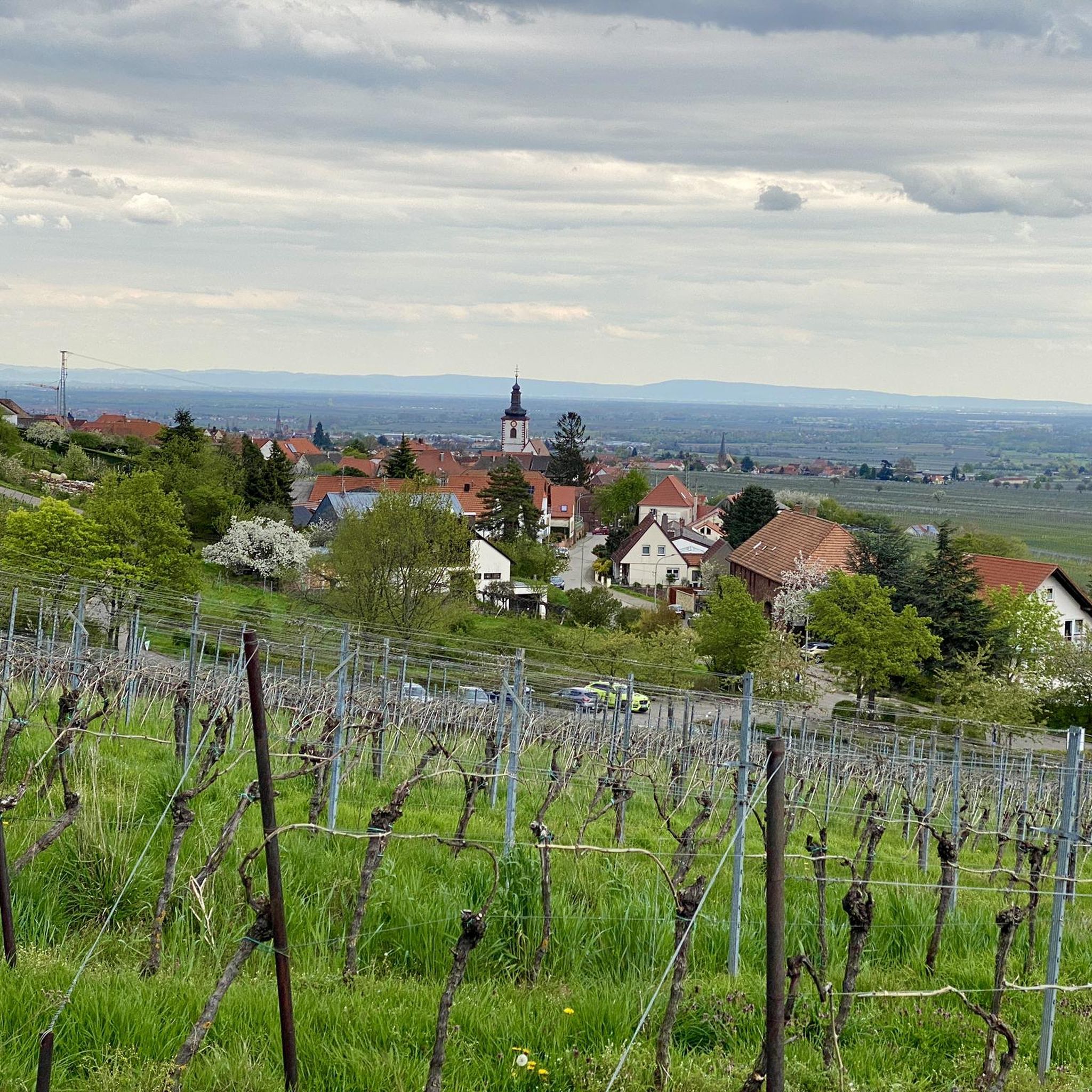
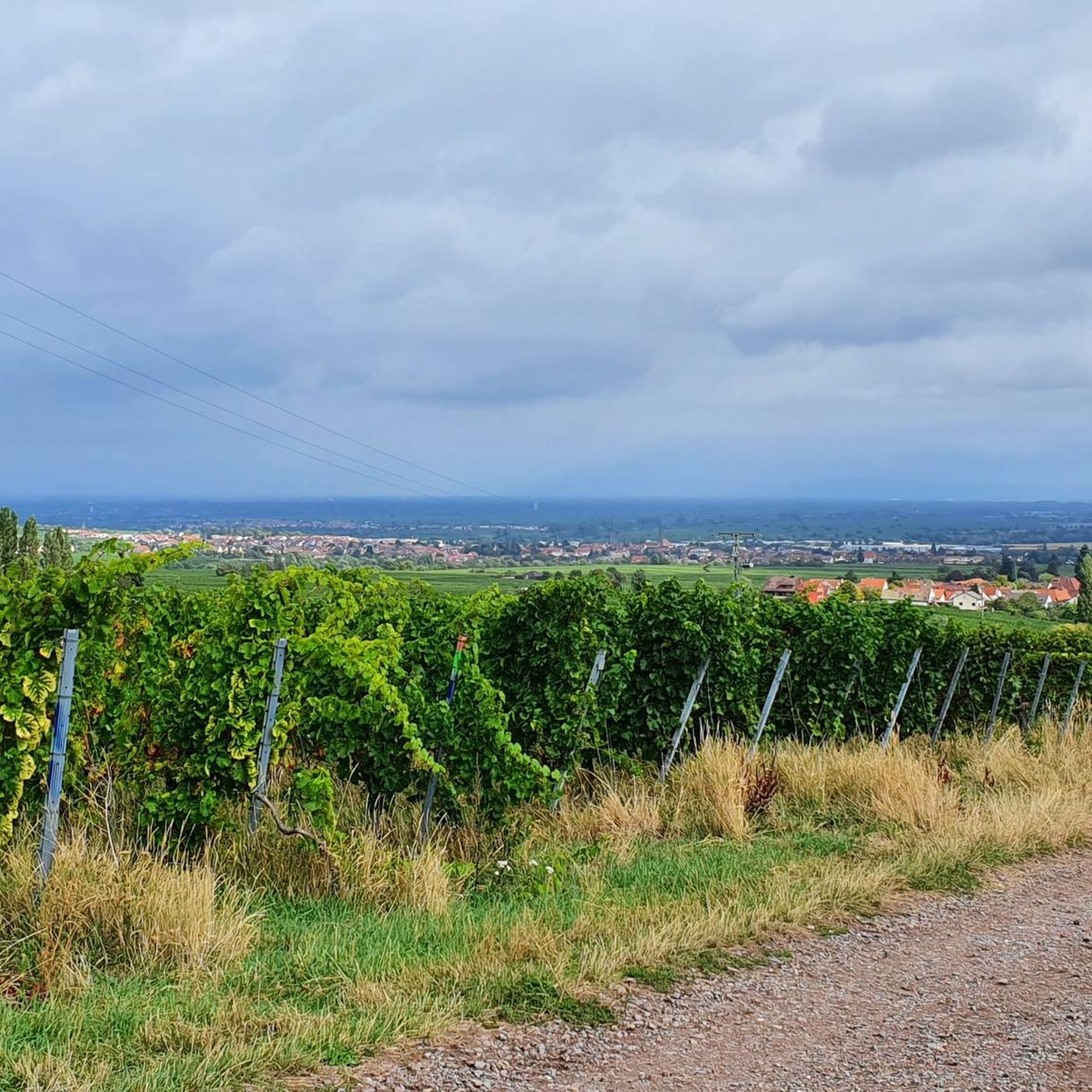
As a 'sun terrace of the Southern Palatinate,' Weyher offers far-reaching views over the Rhine plain. Many routes wind through vineyards and chestnut forests, providing stunning panoramic vistas. Summits like Blättersberg (618 meters) and Hohe Loog (619 meters) offer rewarding views for hikers.
Are there any family-friendly mountaineering options?
While specific 'easy' mountaineering routes are not listed, the region offers many trails through vineyards and forests that can be adapted for families. The 'Panorama path (Weyher)' is a circular route through vineyards providing stunning panoramic views, which might be suitable for families looking for less strenuous walks.
What are some interesting landmarks or attractions to see along the routes?
Along the routes, you can encounter various points of interest. The Dreimärker Stone is a notable monument. You might also pass through areas with historic half-timbered houses and charming villages. The region is rich in cultural heritage, often connecting natural landscapes with historical sites.
What do other mountaineers say about the routes around Weyher in der Pfalz?
The routes in Weyher in der Pfalz are highly rated by the komoot community, with an average score of 4.7 stars. Mountaineers often praise the varied terrain, the beautiful views over the Rhine valley, and the well-maintained trails through chestnut forests and vineyards.
Is there public transport access to the mountaineering routes?
Weyher in der Pfalz is well-connected to a network of hiking trails. While specific public transport details for each trailhead are not provided, the village's strategic location in the Rhineland-Palatinate region generally offers access to regional bus services that can connect to various starting points for tours in the Palatinate Forest.
Where can I find parking for mountaineering routes?
Parking is generally available at or near the starting points of many routes. For example, the Hahnenschritt Pass parking area (565 m) is one such designated spot that provides access to trails in the wider region.
Most popular routes around Weyher in der Pfalz
Most popular attractions around Weyher in der Pfalz

Get inspired with the komoot mobile app


Explore more
Browse the best Mountain Hikes & Routes in other regions.
