The best running trails around Steineberg
4.3
(789)
3,847
runners
245
runs
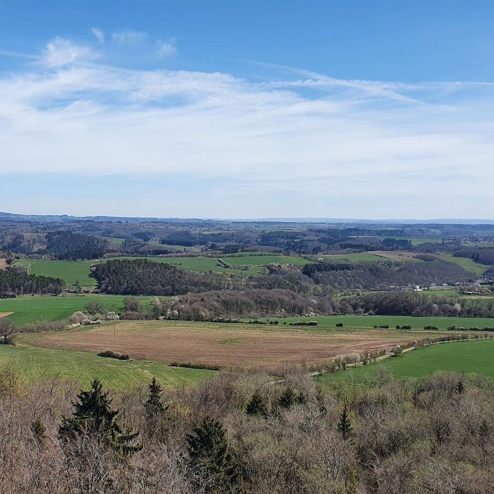
Jogging around Steineberg offers diverse terrain within Germany's Vulkaneifel district, characterized by its unique volcanic landscapes. The region features numerous volcanic cones and maars, providing varied backdrops for running routes. Trails traverse deep forests, stream valleys, and open countryside, with the prominent Steineberger Ley, a 560-meter-high volcanic cone, offering a notable landmark. The area's geological history shapes a network of paths suitable for different fitness levels.
Best jogging routes around Steineberg
- The most popular jogging route is Running loop from…
Last updated: July 23, 2026
5.0
(5)
40
runners
4.81km
00:30
40m
50m
Easy run. Great for any fitness level. Mostly paved surfaces. Suitable for all skill levels.
5.0
(1)
17
runners
Hard run. Very good fitness required. Mostly paved surfaces. Suitable for all skill levels.

Sign up for free
13
runners
19.2km
02:02
170m
170m
Hard run. Very good fitness required. Mostly paved surfaces. Suitable for all skill levels.
5.0
(2)
7
runners
13.0km
01:26
170m
170m
Moderate run. Good fitness required. Mostly paved surfaces. Suitable for all skill levels.
4
runners
7.49km
00:49
120m
120m
Moderate run. Good fitness required. Mostly paved surfaces. Suitable for all skill levels.
Get access to more routes and recommendations from other explorers.
Sign up for free
Already have an account?
Our route recommendations are based on thousands of hikes, rides, and runs completed by other people on komoot.
Start today with a free account
Your next adventure awaits.
Login or Signup

Other adventures around Steineberg

Tips from the Community

Information on the Mürmes nature reserve can be found at NABU: https://www.nabu-daun.de/wir-sichern-fl%C3%A4chen/nsg-m%C3%BCrmes/ or at: https://ellscheid-vulkaneifel.de/408/tourismus/muermes
1
0

"Old Station" Schalkenmehren Passenger service between Daun and Wittlich was discontinued on November 1, 1981. Schalkenmehren. Approaching the Old Station in Schalkenmehren on the former railway line, today's Maare-Mosel cycle path, and seeing the station building, it's hard to believe that it was opened as a fourth-class railway station exactly 100 years ago. But how did it all begin 100 years ago? Surveying for the Daun-Wittlich railway line began as early as 1897. General preparatory work for the single-track line began in 1907. But it would take some time before the Daun-Schalkenmehren-Gillenfeld section opened on December 1, 1909, with the line running over the 28-meter-high Daun viaduct and through the 560-meter-long Schalkenmehren railway tunnel, "Großes Schlitzohr" (Great Sly Fox). The extension from Gillenfeld to Manderscheid to Pantenburg was completed on May 1, 1910, and the extension from Manderscheid-Pantenburg to Wittlich, signifying the completion of the entire line, was completed on July 1, 1910. The completion of the Daun-Wittlich railway line brought rapid development to the village of Schalkenmehren. In the first year of the line's existence (1910), 18,968 tickets were sold in Schalkenmehren, followed by 25,057 in 1913, 27,969 in 1919, and even 30,279 in 1922. In addition, Schalkenmehren station was designed for general cargo traffic and the receipt and dispatch of wagonloads. Text / Source: www.volksfreund.de/ https://www.volksfreund.de/region/vulkaneifel/ein-schmuckstueck-fuer-nostalgiker_aid-5712448
13
0

The Sangweiher is an old maar lake and, thanks to extensive restoration measures, has become a lovely stop on your hike. This nature and bird sanctuary offers a habitat for flora and fauna, where you are welcome to be a guest.
1
0

From the hills around the Schalkenmehrener Maar you have different views of the village and the almost circular water surface. One view is more beautiful than the other. Sometimes you see the St. Martin Church reflected in the water, or you can see a dry maar or the adjacent maar with fen.
2
0

The St. Martin Church is beautifully done. Its interior was recently renovated.
4
0

It's very beautiful here.
1
0

There was once a train stop on the Maare Moselbahn in Udler.
1
1

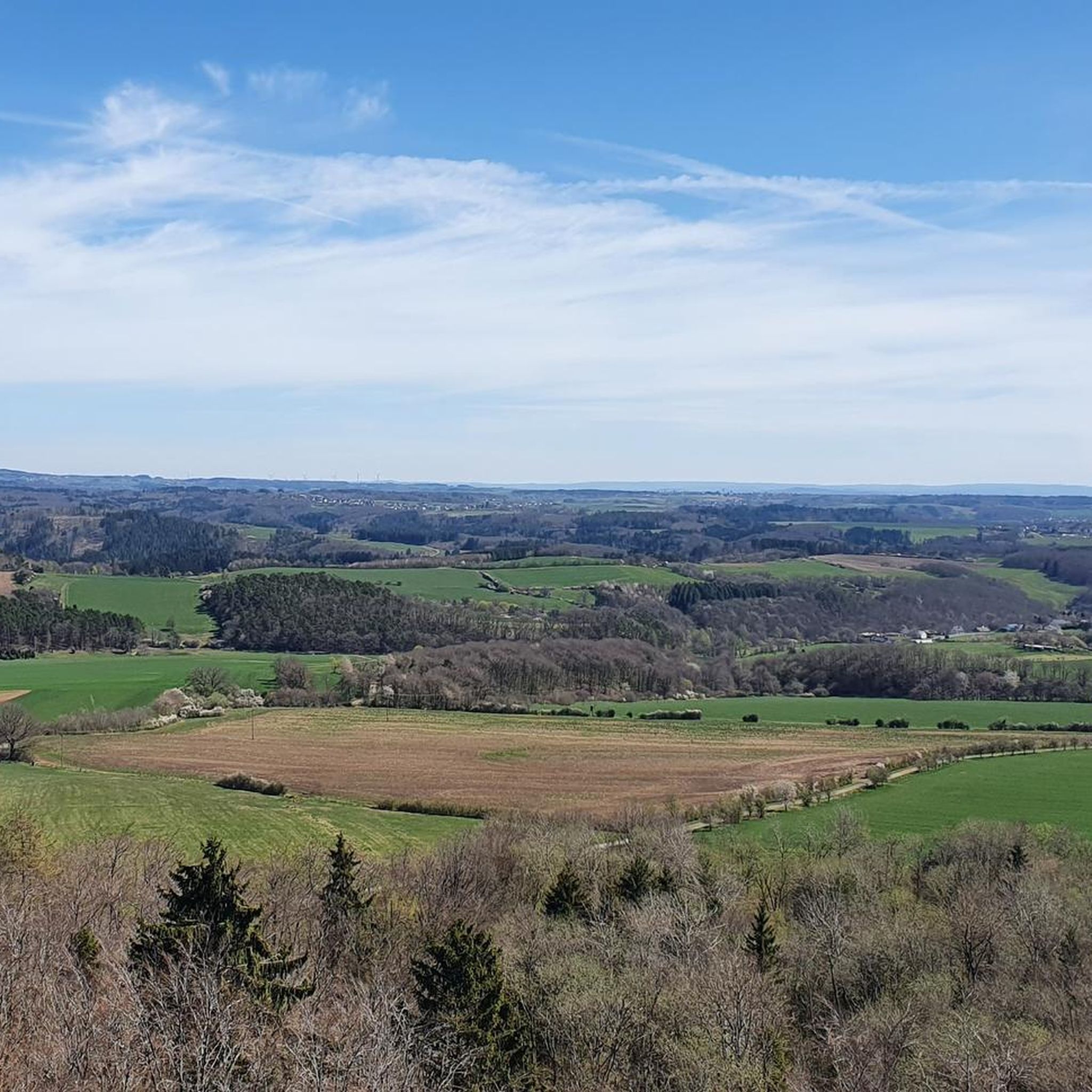
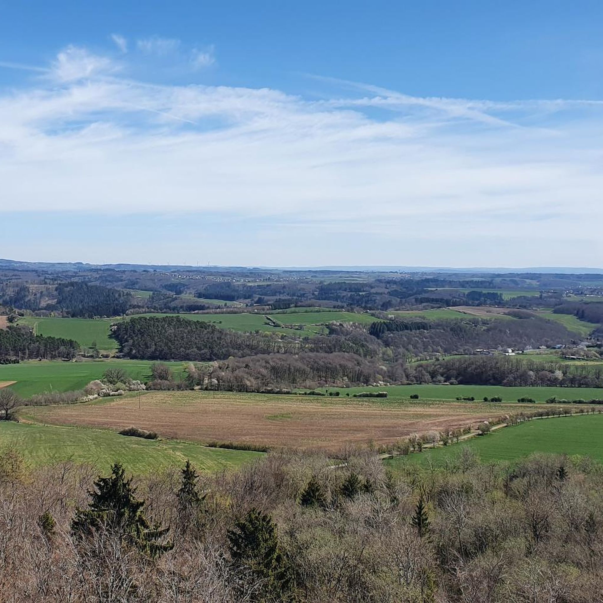
From here you have a great view of the Schalkenmehrener Maar. It is one of the three Dauner Maars and if you look closely you can see that it was once a double maar that was formed by volcanic activity around 20,000 to 30,000 years ago. However, the tuff of the western maar filled the eastern maar funnel, so that today all that remains of the second maar is the fen vegetation in this area.
1
0
Frequently Asked Questions
What kind of terrain can I expect on the running routes around Steineberg?
The region offers a diverse mix of terrain, shaped by its volcanic origins. You'll find paths through deep forests, idyllic stream valleys, and open countryside. Expect varied surfaces, from gentle forest trails to more challenging climbs, providing options for all fitness levels.
Are there many running routes available in Steineberg?
Yes, Steineberg and the surrounding Vulkaneifel district boast an extensive network of trails. There are over 250 running routes available, catering to various preferences and fitness levels.
What are some notable landmarks or viewpoints I can see while jogging in the area?
A prominent landmark is the Steineberger Ley, a 560-meter-high volcanic cone with a 28-meter high 'Vulcano Infoplattform' offering panoramic views. You can also encounter several maars (volcanic lakes) and historical sites like remnants of a Celtic ringwall. For specific viewpoints, consider routes that pass by View of the Weinfelder Maar (Totenmaar) or View of Totenmaar from the panoramic bench.
Are there any easy running routes suitable for beginners or a relaxed jog?
Absolutely. There are 28 easy routes available. A great option for a relaxed jog is the Running loop from Ellscheid, which is an easy 3.0-mile (4.8 km) trail with gentle elevation changes through the local landscape.
Can I find circular running routes in Steineberg?
Yes, many of the running trails in Steineberg are circular, allowing you to start and end at the same point. The region's extensive trail network includes numerous loop options, such as the Mürmes Nature Reserve – Mürmes Nature Reserve loop from Ellscheid.
What do other runners think about the trails in Steineberg?
The running routes in Steineberg are highly regarded by the komoot community, with an average rating of 4.3 stars from over 700 reviews. Runners often praise the diverse volcanic landscape, the peace and quiet, and the well-maintained trails.
Are there any running routes that pass by lakes or water features?
Yes, the Vulkaneifel is known for its maars (volcanic lakes). You can find routes that offer views of these natural wonders. For example, the difficult View of the Schalkenmehrener Maar – Schalkenmehrener Maar loop from Mehren provides scenic views of the Schalkenmehrener Maar. Other notable lakes in the vicinity include View of the Gemünden maar and Schalkenmehrener Maar.
Are there any longer or more challenging running trails for experienced runners?
For experienced runners seeking a challenge, there are 31 difficult routes. A demanding option is the Running loop from Mehren, which is a difficult 11.9-mile (19.2 km) path with significant elevation changes.
What kind of natural scenery can I expect while running in Steineberg?
You'll experience a blend of green and fertile countryside, lush meadows, and tranquil forests. The unique volcanic landscape, with its cones and maars, provides a distinctive and picturesque backdrop, often accompanied by the quiet murmur of streams.
Are there any historical sites or castles near the running routes?
While the primary focus is on natural beauty, the region does have historical elements. The summit of Steineberger Ley, for instance, holds remnants of a Celtic ringwall. For castles, you might find routes that pass near or offer views of structures like the Upper Castle of Ulmen or the Romantik Castle Hotel Kurfürstliches Amtshaus Daun.
How long are the running routes around Steineberg typically?
The running routes vary greatly in length to suit different preferences. You can find shorter, easy loops like the 3.0-mile (4.8 km) Running loop from Ellscheid, as well as much longer and more challenging trails, some extending over 11 miles (18 km).
Is the area generally quiet for running?
Yes, the Vulkaneifel region, including Steineberg, is often described as offering plenty of peace and quiet. This makes it an ideal destination for those looking to enjoy their running in a serene and natural environment, away from urban hustle.
Most popular routes around Steineberg
Most popular attractions around Steineberg

Get inspired with the komoot mobile app


Explore more
Browse the best Running Trails & Routes in other regions.
