The best running trails around Valprivas
3.8
(83)
2,339
runners
231
runs
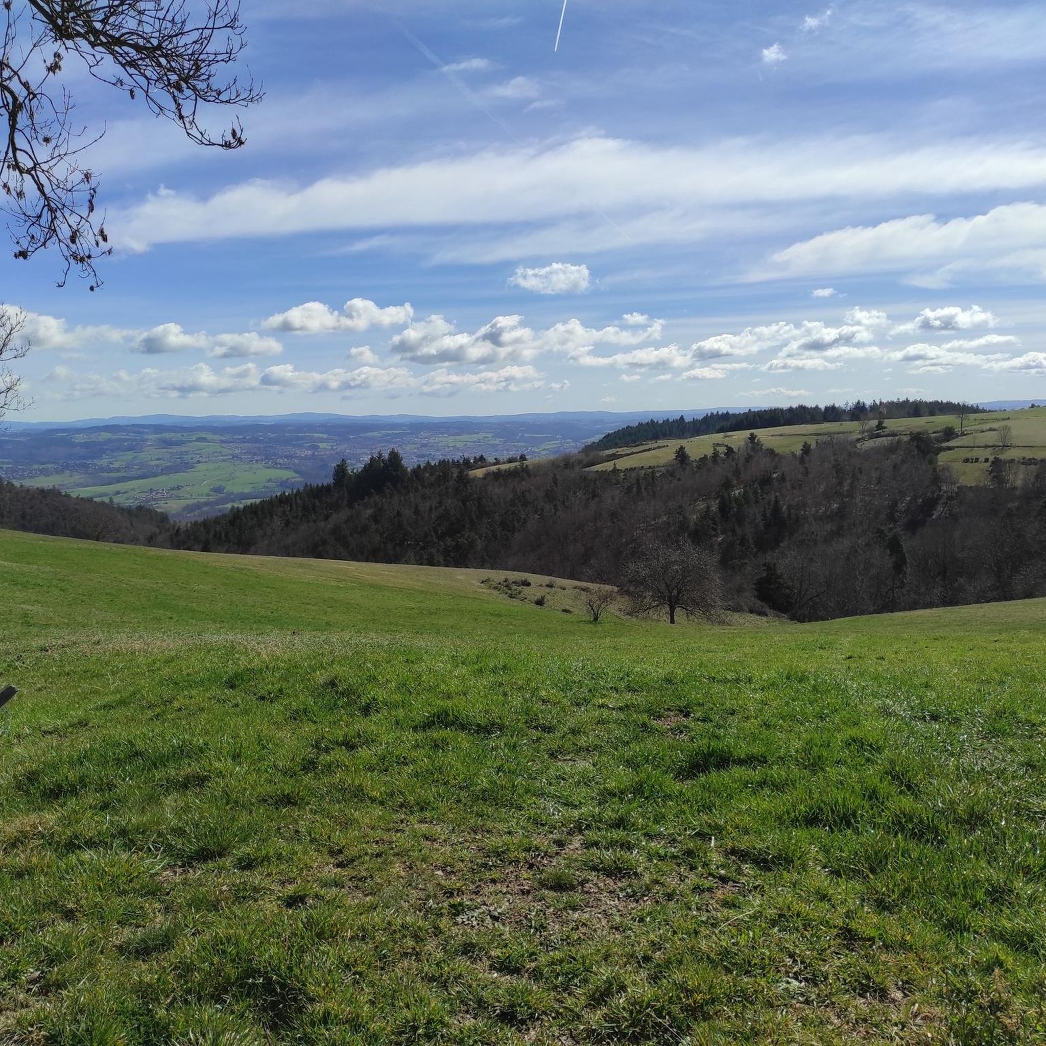
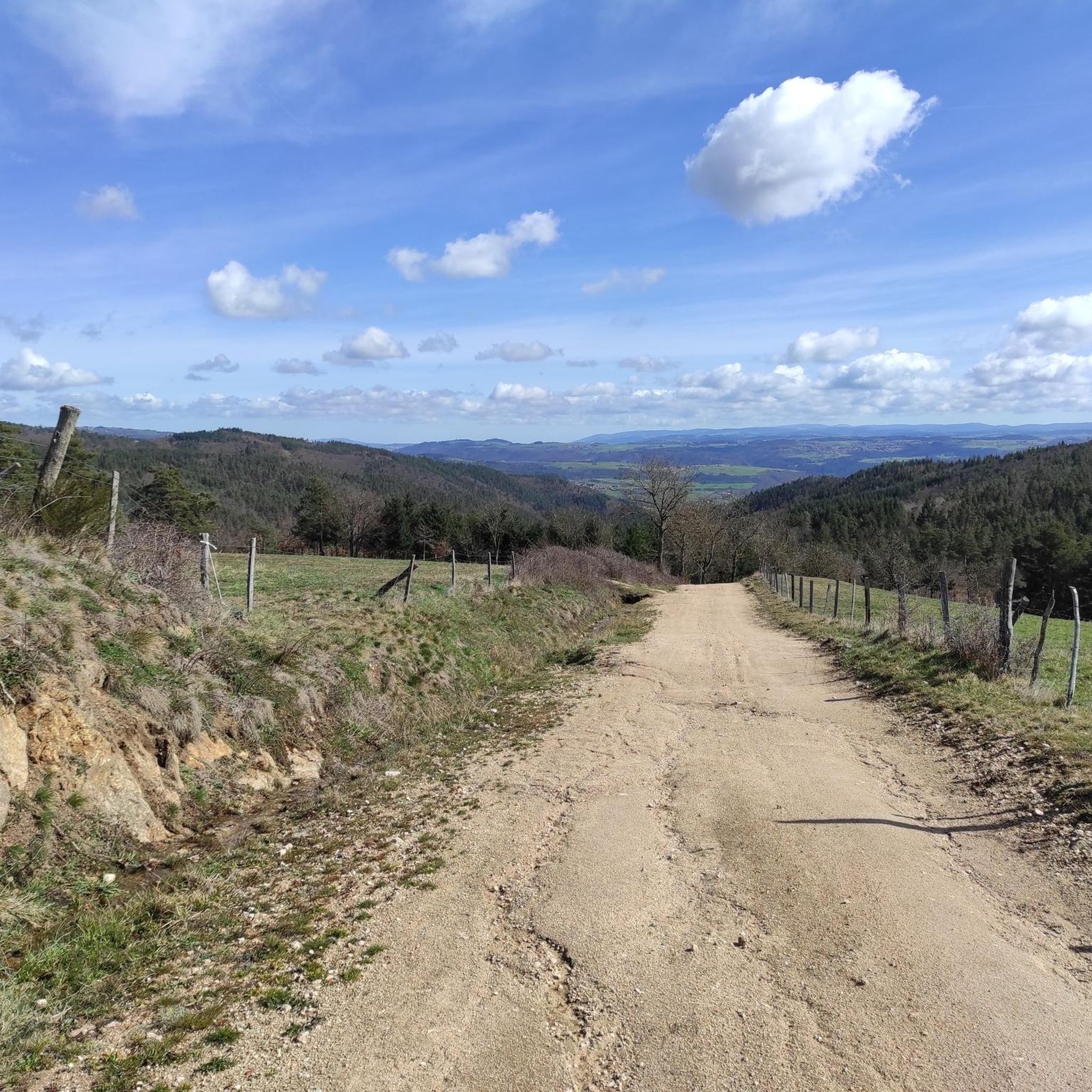
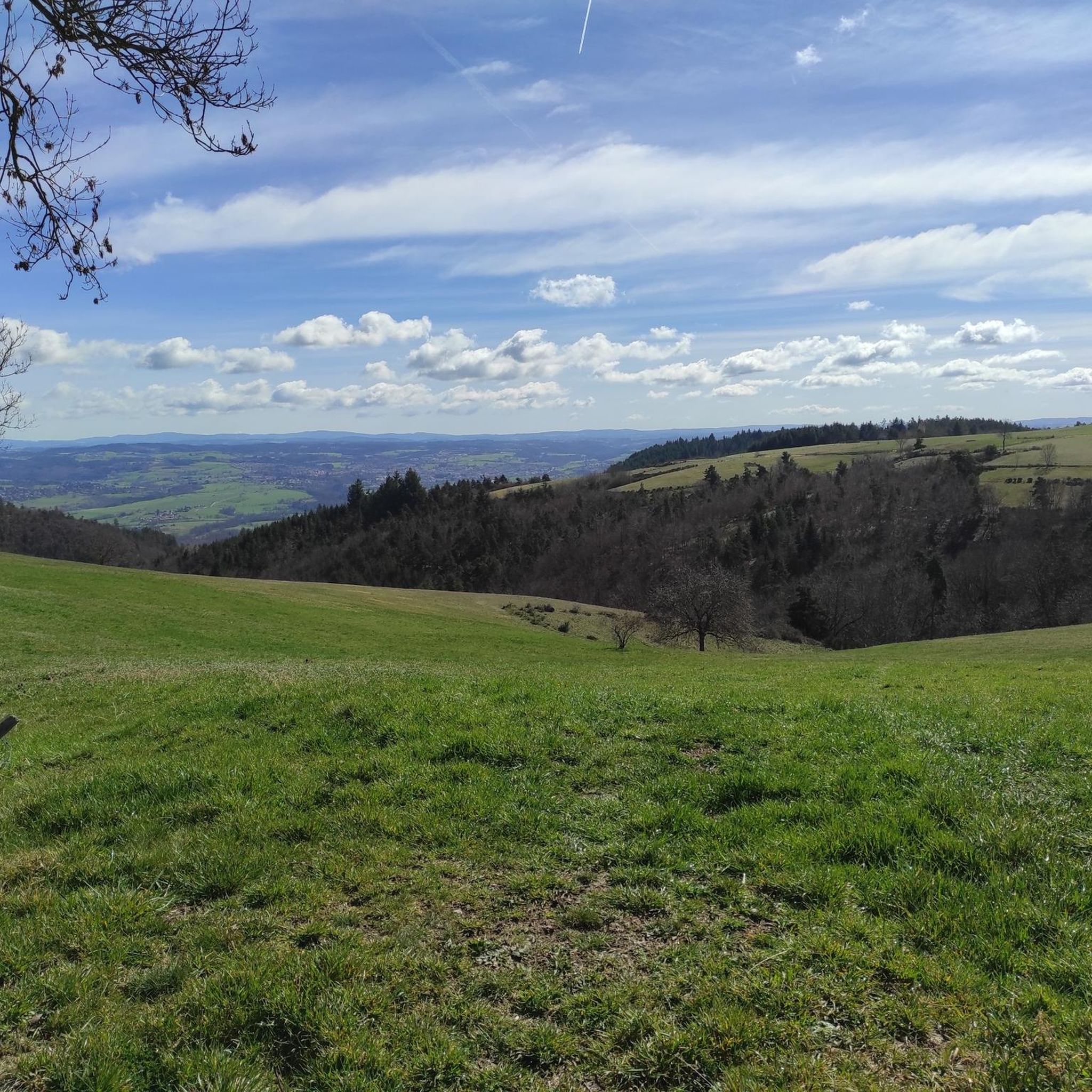
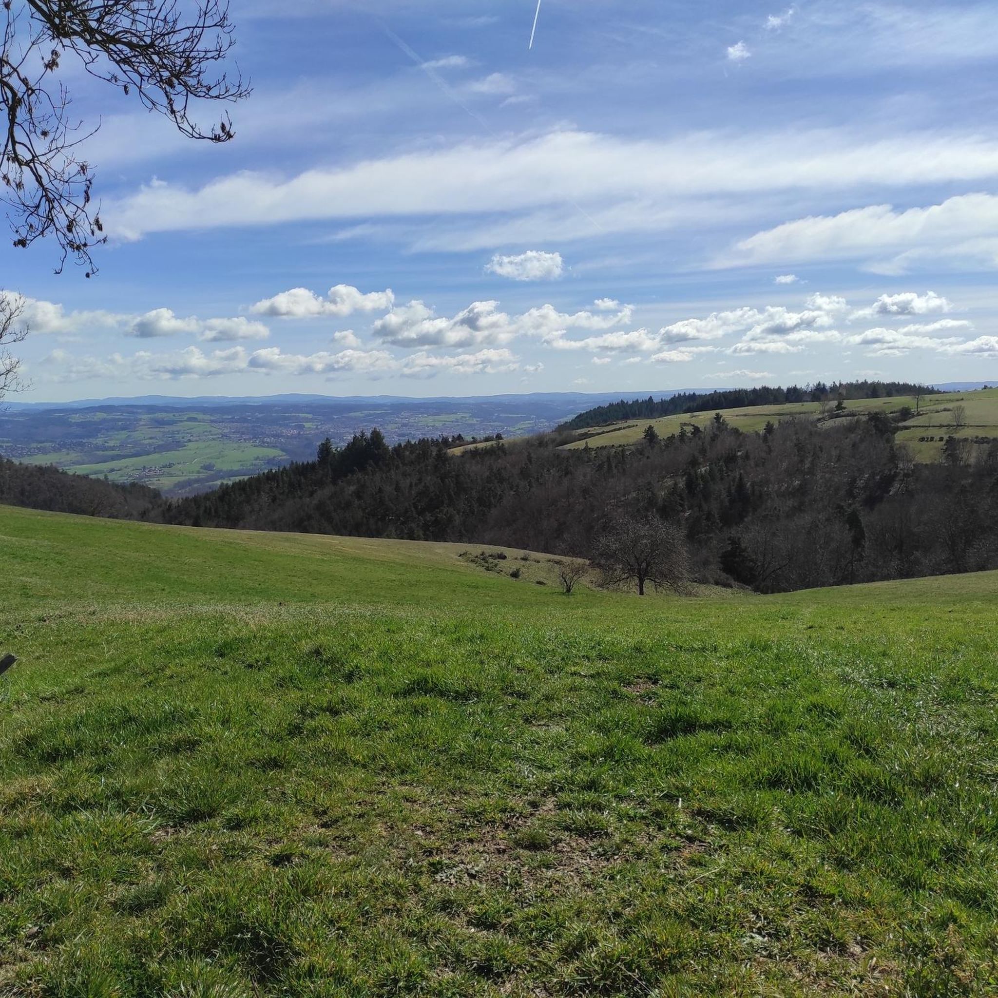
Jogging routes around Valprivas offer diverse experiences within the Haute-Loire department's mountainous terrain. The region is characterized by a mid-mountain landscape and granite plateau, providing varied elevation changes suitable for different running preferences. Situated at an altitude of 953 meters, Valprivas overlooks the scenic Andrable valley, with routes often traversing wooded areas and offering panoramic views. This topography creates an invigorating environment for physical activity.
Best jogging routes around Valprivas
- The most popular jogging route is Château de Rochebaron loop…
Last updated: October 30, 2026
115
runners
23.1km
02:42
660m
660m
Hard run. Very good fitness required. Sure-footedness, sturdy shoes and alpine experience required.
49
runners
15.7km
02:01
530m
530m
Hard run. Very good fitness required. Mostly runnable paths. Some sure-footedness required.

3.7
(3)
83
runners
11.9km
01:15
120m
120m
Moderate run. Good fitness required. Mostly paved surfaces.
17
runners
10.7km
01:11
140m
140m
Moderate run. Good fitness required. Mostly paved surfaces.
11
runners
31.4km
04:09
1,230m
1,230m
Hard run. Very good fitness required. Mostly paved surfaces.
Get access to more routes and recommendations from other explorers.
Already have an account?
Our route recommendations are based on thousands of hikes, rides, and runs completed by other people on komoot.
Start today with a free account
Your next adventure awaits.

Tips from the Community

The Devil's Bridge spans the Ance. It dates from the 10th century and is classified as a historic monument. Legend has it that this bridge was often destroyed by the floods of the Ance. The lord of Chalencon made a pact with the Devil so that it remained intact.
0
0
This beautiful portion winds between the ponds of Bas-en-Basset and the banks of the Loire. The setting is bucolic, it’s a real treat.
0
0
The medieval village of Chalencon dates from the Middle Ages. It dominates the Ance river from its rocky spur and displays architecture from the medieval era which takes you back to the time of the powerful lords who administered Velay.
0
0

The Ance is a direct tributary of the Loire. Taking its source in the Forez mountains at some 1,400 meters above sea level, it flows into the "wildest river in Europe" after a 77 kilometer run. Here, the Ance is bordered by the GR 3 path, famous for following the thread of the Loire.
0
0

beautiful climb from bottom to basset to climb to the castle
0
0
Frequently Asked Questions
How many running routes are available around Valprivas?
Valprivas offers a wide selection of running trails, with over 230 routes available for you to explore. These routes cater to various preferences, from easy paths to more challenging runs.
Are there running routes suitable for beginners or those looking for an easy jog?
Yes, Valprivas has options for all fitness levels. There are 13 easy running routes, perfect for beginners or those seeking a relaxed jog. These trails typically feature less elevation gain and more gentle terrain.
What kind of terrain can I expect when running in Valprivas?
The region around Valprivas is characterized by its mountainous terrain and granite plateau, offering diverse landscapes. You can expect varied elevation changes, from moderate paths to more demanding trails, often traversing wooded areas and providing panoramic views of the scenic Andrable valley.
What do other runners say about the trails in Valprivas?
The running routes in Valprivas are highly regarded by the komoot community, holding an average score of 3.9 stars from over 70 reviews. Nearly 2000 runners have used komoot to explore the varied terrain, often praising the diverse experiences and scenic beauty.
Are there any circular running routes in the Valprivas area?
Yes, many of the running routes around Valprivas are circular, allowing you to start and finish at the same point. For example, the Running loop from Bas-en-Basset is a popular moderate circular path, and the more challenging Château de Rochebaron loop from Bas-en-Basset also offers a circular experience.
Can I find family-friendly running paths in Valprivas?
While specific 'family-friendly' designations aren't always explicit, many of the 13 easy routes around Valprivas would be suitable for families looking for a gentle jog or walk together. These paths generally have less challenging terrain and elevation.
Are there any historical landmarks or points of interest along the running routes?
Absolutely! Valprivas is rich in history. You might encounter historical sites like the Château d'Artias or the village of St Bonnet-le-Château. The village of Valprivas itself is home to the historic Château de Valprivas, which adds a cultural dimension to your outdoor activity.
What is a good challenging running route for experienced runners?
For experienced runners seeking a challenge, the Chalencon – Devil's Bridge loop from Tiranges is an excellent option. This difficult 15.7 km trail features significant elevation gain and leads through the scenic Andrable valley, providing a strenuous workout.
Are there any running routes that offer scenic viewpoints?
Given Valprivas's altitude of 953 meters and its position overlooking the Andrable valley, many routes offer picturesque views. Trails traversing higher elevations or wooded areas often open up to panoramic vistas of the surrounding mid-mountain landscape and granite plateau.
Is there a moderate running route that's popular with locals?
Yes, the Château de Montagnac loop from Saint-Hilaire-Cusson-la-Valmitte is a popular moderate route among local runners. This 10.7 km trail offers varied terrain and is suitable for a steady running workout without extreme difficulty.
What is the best time of year for jogging in Valprivas?
The mountainous terrain of Valprivas makes spring, summer, and early autumn ideal for jogging, when the weather is generally milder and the natural beauty is at its peak. During these seasons, you can fully enjoy the wooded areas and panoramic views without the challenges of winter conditions.
Are there any running routes that pass by natural features like lakes?
While Valprivas is known for its mountainous terrain, you can find natural features nearby. For instance, the highlight Le Bezan is a lake in the vicinity that could be incorporated into a longer run or visited separately.
Most popular attractions around Valprivas

Get inspired with the komoot mobile app


Explore more
Browse the best Running Trails & Routes in other regions.
