The best road cycling routes around Valprivas
4.5
(101)
2,024
riders
170
rides
Road cycling routes around Valprivas are situated in a mid-mountain commune within the Haute-Loire department of France. The region features a granitic plateau with an altitude range from 491 meters to 953 meters, providing varied terrain for road cyclists. This topography offers both challenging climbs and scenic routes, characterized by significant elevation changes. The area is also within cycling distance of natural features such as the Col des Pradeaux and the Gorges de la Loire.
Best road cycling routes around…
Last updated: November 1, 2026
5.0
(2)
101
riders
66.2km
03:19
1,000m
1,000m
Hard road ride. Very good fitness required. Mostly well-paved surfaces and easy to ride.
6
riders
32.1km
01:32
370m
370m
Moderate road ride. Good fitness required. Mostly well-paved surfaces and easy to ride.

6
riders
28.1km
01:21
390m
390m
Moderate road ride. Good fitness required. Mostly well-paved surfaces and easy to ride.
7
riders
36.0km
01:44
500m
500m
Moderate road ride. Good fitness required. Mostly well-paved surfaces and easy to ride.
4
riders
21.7km
01:01
280m
280m
Easy road ride. Mostly well-paved surfaces and easy to ride.
Get access to more routes and recommendations from other explorers.
Already have an account?
Our route recommendations are based on thousands of hikes, rides, and runs completed by other people on komoot.
Start today with a free account
Your next adventure awaits.
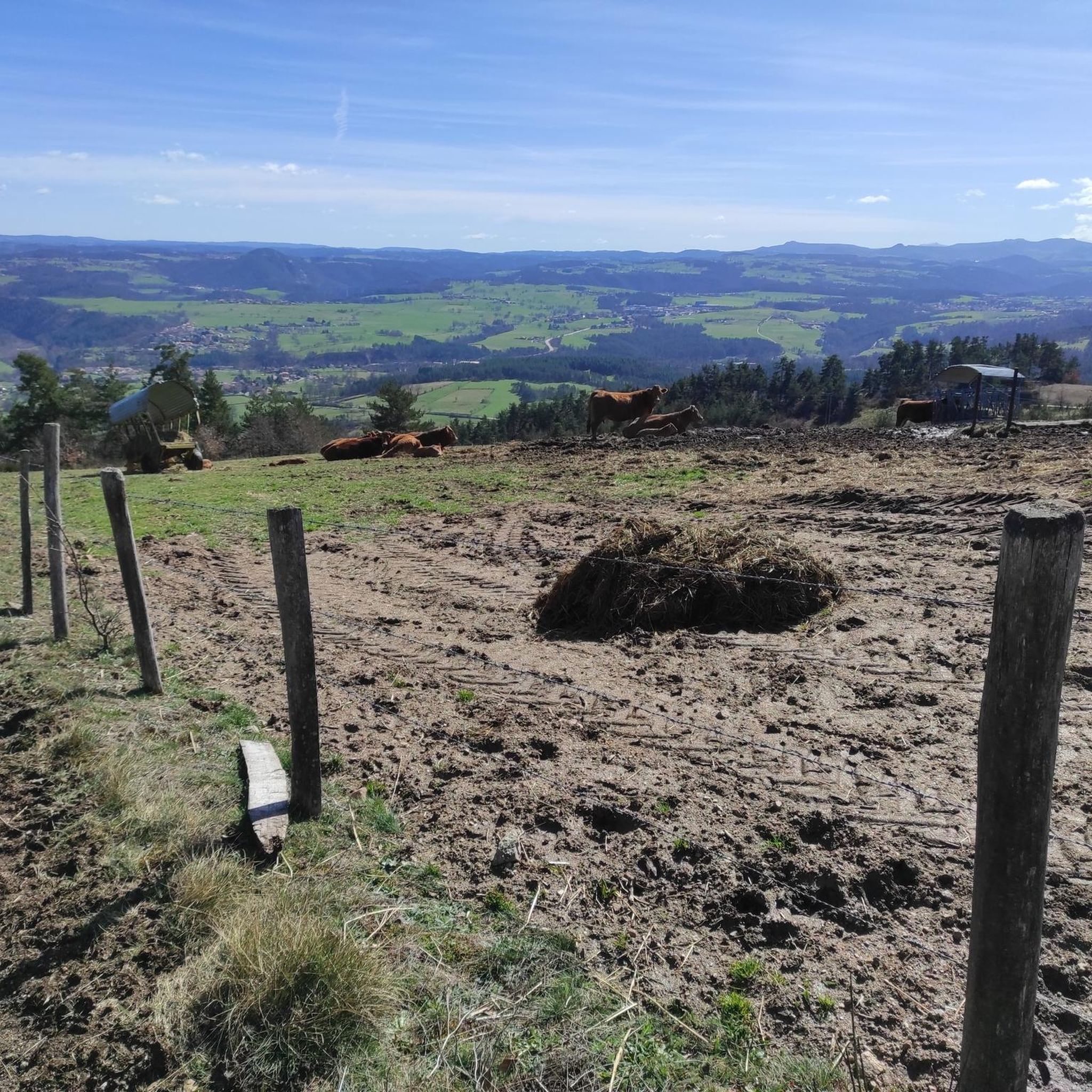
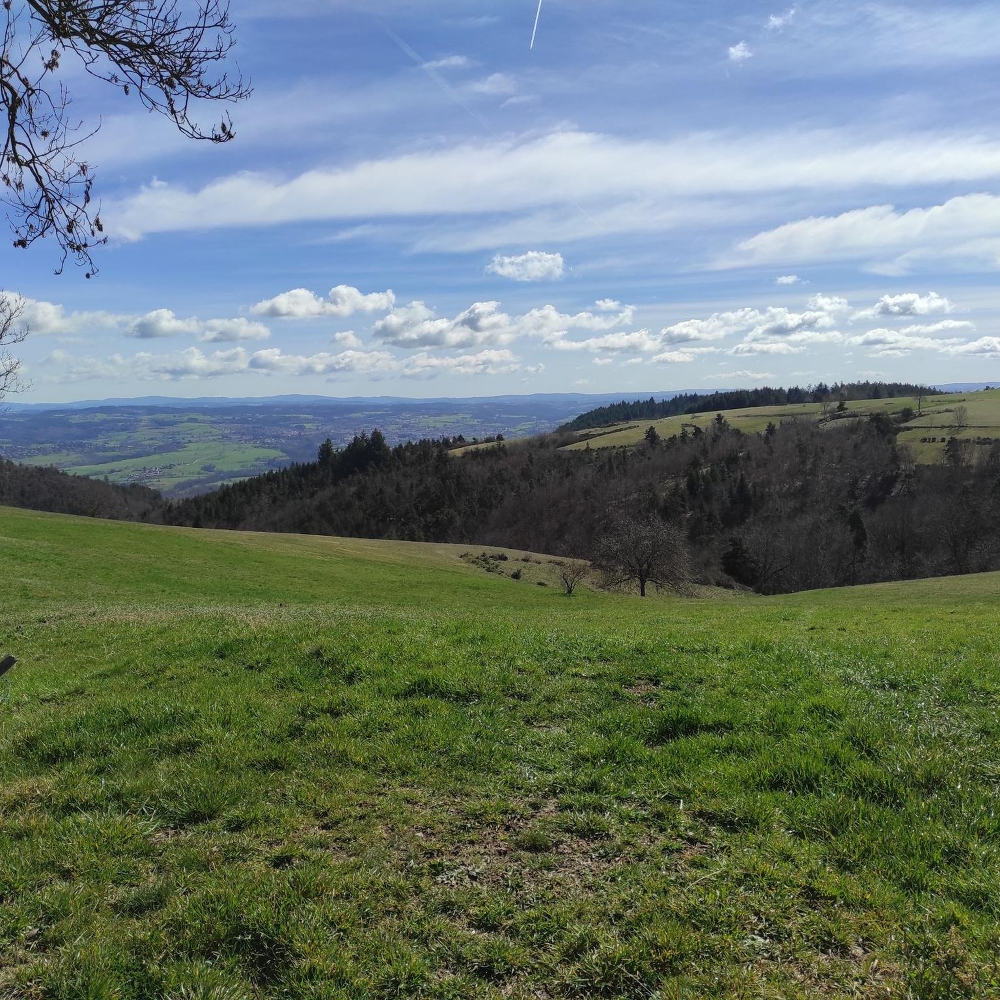
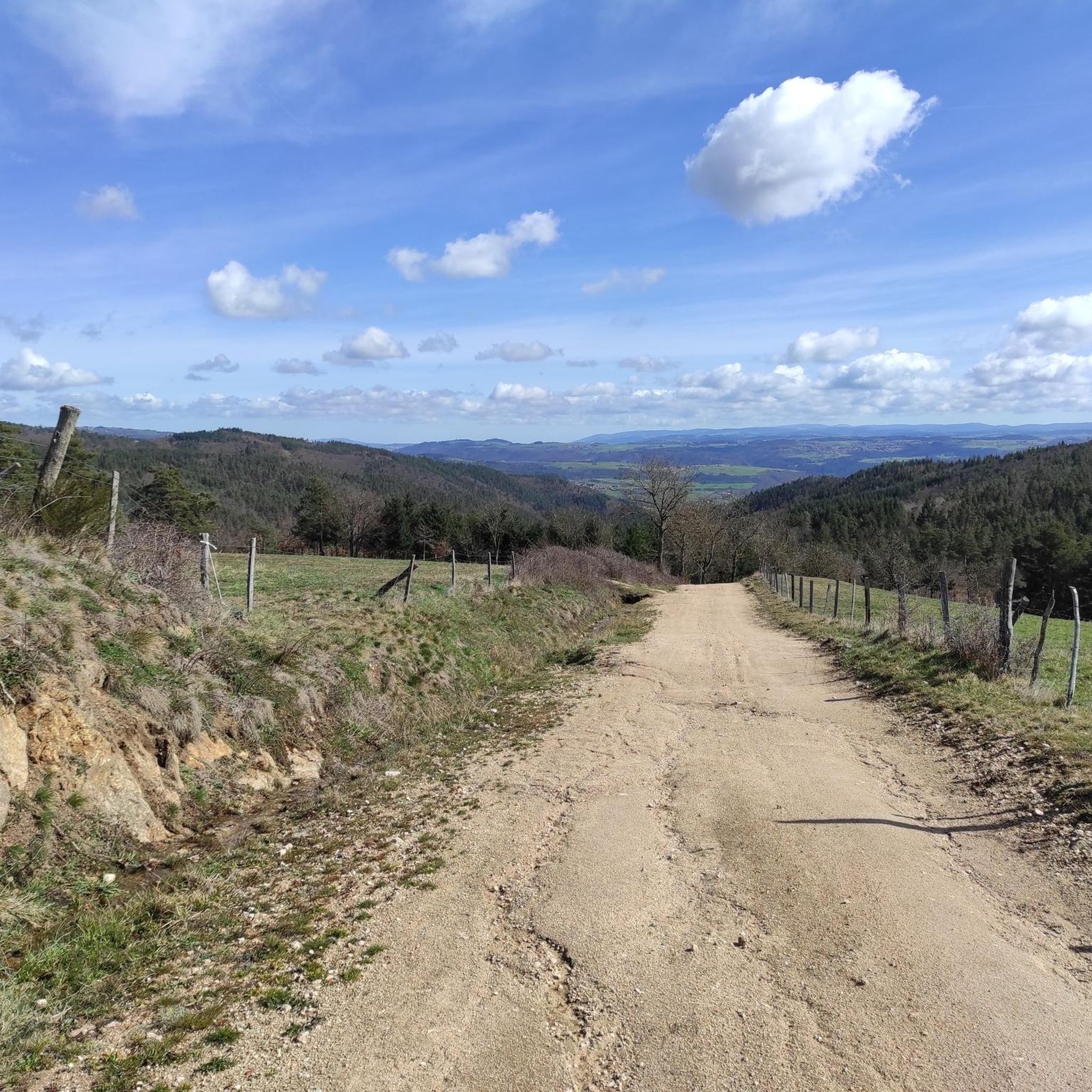
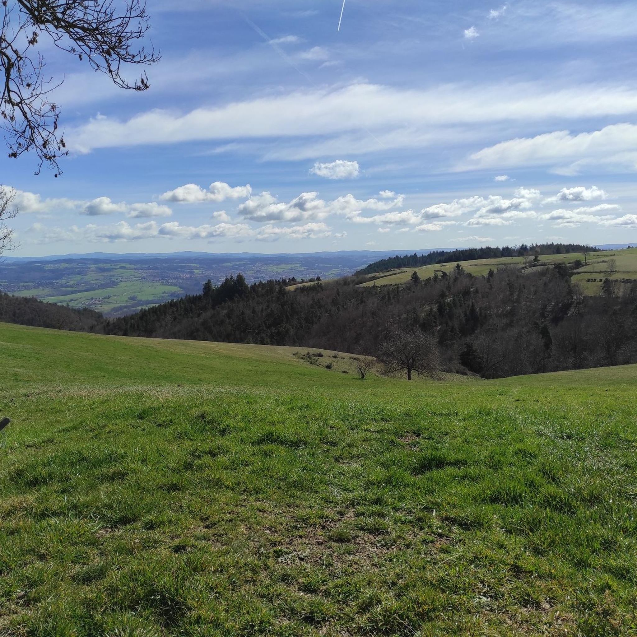

Tips from the Community


The Saint-Paul church, from the 14th century and formerly attached to the monastery of La Chaise-Dieu, is an extension of the castle. It is easily recognizable from the surrounding area thanks to its spire at the top of its bell tower. Restoration work was undertaken in the 19th century.
0
0


Church in the middle of Usson-en-Forez
0
0

Estivareilles is a pretty little town located on the paths to Compostela as well as on the GR 3. Its town is home to a handful of shops to keep you supplied. For a few dollars, the town hall provided a place to spend the night.
0
0

Montarcher, a small town in the heart of southern Haut-Forez, perched at 1162 meters, offers an exceptional panorama over the Velay and the Forez. Registered site, Montarcher is classified "Village of character" and has a remarkable heritage.
4
0

easy to drive bridge to get to the rise on the left side of the Loire
0
0
Frequently Asked Questions
What kind of terrain can I expect when road cycling around Valprivas?
Valprivas is situated in a mid-mountain commune on the edge of a granitic plateau, offering a diverse landscape for road cyclists. You can expect varied terrain with significant elevation changes, ranging from 491 meters to 953 meters. This provides both challenging climbs and scenic routes through river valleys and plateaus.
Are there road cycling routes suitable for beginners or less experienced riders in Valprivas?
Yes, while Valprivas is known for its challenging climbs, there are options for various ability levels. The komoot community has identified 4 easy routes and 56 moderate routes, ensuring that less experienced riders can also find enjoyable and scenic paths to explore.
What are some of the more challenging road cycling routes in the Valprivas area?
For experienced road cyclists seeking a challenge, Valprivas offers numerous demanding ascents. Routes like the Vaubarlet Climb – Via Fluvia loop from Bas-Monistrol, covering over 64 km with significant elevation gain, or the Pont de Confolent – Vaubarlet Climb loop from Bas-Monistrol, which features over 1100 meters of climbing, provide excellent tests of endurance.
What natural attractions can I cycle to from Valprivas?
Within a reasonable cycling distance from Valprivas, you can reach several natural attractions. These include the scenic Col des Pradeaux, the forested Bois Noirs, and the elevated Perdrix Crest and Oeillon Crest, which offer expansive views. You could also plan a ride to the picturesque Cascade de la Beaume waterfall or the tranquil Lac du Bouchet.
Are there any historical landmarks or points of interest along the road cycling routes?
Yes, the region around Valprivas is dotted with interesting landmarks. You might encounter historic sites such as Château d'Artias or the charming settlement of St Bonnet-le-Château. The village of Valprivas itself also features a castle.
How many road cycling routes are available in the Valprivas region?
The Valprivas region boasts a comprehensive network of road cycling routes. There are over 170 routes available, catering to a wide range of preferences and fitness levels, from easy rides to very difficult ascents.
What do other road cyclists think about the routes in Valprivas?
The road cycling routes around Valprivas are highly regarded by the komoot community. They have an average rating of 4.4 stars from over 80 reviews. Cyclists often praise the varied terrain, challenging climbs, and scenic views of the Loire River and surrounding natural features.
Are there any loop trails for road cycling around Valprivas?
Yes, many of the road cycling routes in the Valprivas area are designed as loops, allowing you to start and finish at the same point. This makes planning your ride convenient, as you don't need to arrange for return transport.
What is the best time of year for road cycling in Valprivas?
Given its mid-mountain location and varied elevation, the spring, summer, and early autumn months generally offer the most favorable conditions for road cycling in Valprivas. During these periods, the weather is typically milder, and the landscapes are at their most vibrant, making for a more enjoyable experience.
Can I find routes that offer panoramic viewpoints in Valprivas?
Absolutely. The region's granitic plateaus and crests, such as Perdrix Crest and Oeillon Crest, are known for providing elevated cycling routes with expansive vistas. Many routes are specifically designed to showcase the stunning natural beauty and panoramic views of the surrounding landscapes, including the Gorges de la Loire.
Are there options for longer road cycling tours in Valprivas?
Yes, Valprivas offers several options for longer road cycling tours. Many routes extend beyond 60 kilometers, such as the Vaubarlet Climb – Via Fluvia loop from Bas-Monistrol, which is over 64 km. These longer routes often incorporate significant climbs and allow for extended exploration of the region's diverse scenery.
Most popular attractions around Valprivas

Get inspired with the komoot mobile app


Explore more
Browse the best Road cycling routes in other regions.
