The best road cycling routes around La Chapelle-Au-Mans
4.5
(13)
510
riders
132
rides
Road cycling around La Chapelle-Au-Mans, situated in the Saône-et-Loire department of Burgundy-Franche-Comté, offers a serene rural setting for cyclists. The commune itself features an undulating terrain with an altitude range of 255 meters to 401 meters, providing varied challenges and views. The wider Saône-et-Loire region is known for its extensive network of cycling opportunities, including greenways, canals, and vineyards, making it a well-regarded cycling destination. Cyclists can expect to encounter verdant countryside and charming villages.
Best road cycling routes around…
Last updated: November 1, 2026
39
riders
112km
04:59
730m
740m
Moderate road ride. Good fitness required. Some segments of this route may be unpaved and difficult to ride.
8
riders
Moderate road ride. Good fitness required. Some segments of this route may be unpaved and difficult to ride.

8
riders
30.2km
01:22
210m
210m
Easy road ride. Mostly well-paved surfaces and easy to ride.
5.0
(1)
8
riders
78.3km
04:03
1,070m
1,070m
Hard road ride. Very good fitness required. Mostly well-paved surfaces and easy to ride.
5.0
(1)
13
riders
41.2km
01:59
370m
370m
Moderate road ride. Good fitness required. Mostly well-paved surfaces and easy to ride.
Get access to more routes and recommendations from other explorers.
Already have an account?
Our route recommendations are based on thousands of hikes, rides, and runs completed by other people on komoot.
Start today with a free account
Your next adventure awaits.
Tips from the Community

A pleasant stretch that runs alongside the Canal du Centre between Paray-le-Monial and Digoin.
0
0

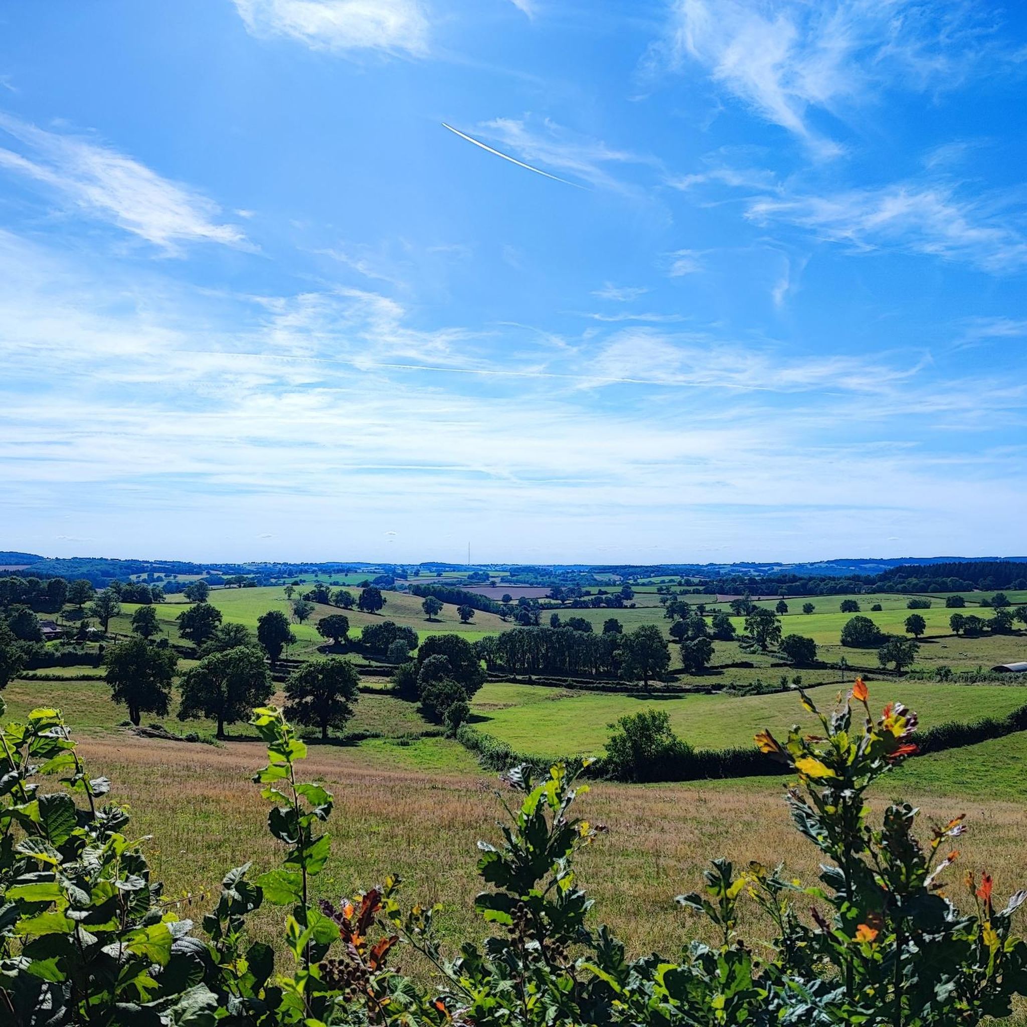
The Signal de Mont is located at an altitude of 469 meters. The observation tower is 12 meters high and offers a 360° panorama of the rolling Burgundy landscape. You can decipher the view thanks to the eight orientation tables. At the foot of the tower, you will find the remains of a World War II aircraft defense post.
0
0


It's so beautiful that words are insufficient
0
0

Very quiet and sheltered from the wind for riding
1
0

simply impressive! The city is also beautiful. We had a good meal here!
0
0

The Voie Verte du Canal du Centre, located just outside Paray-le-Monial, offers a scenic and relaxing experience in the heart of the Burgundy region. Along the way, you will enjoy a well-maintained greenway that runs alongside the historic Canal du Centre, allowing you to ride on flat and easy terrain. It is the perfect complement to any hike.
3
0

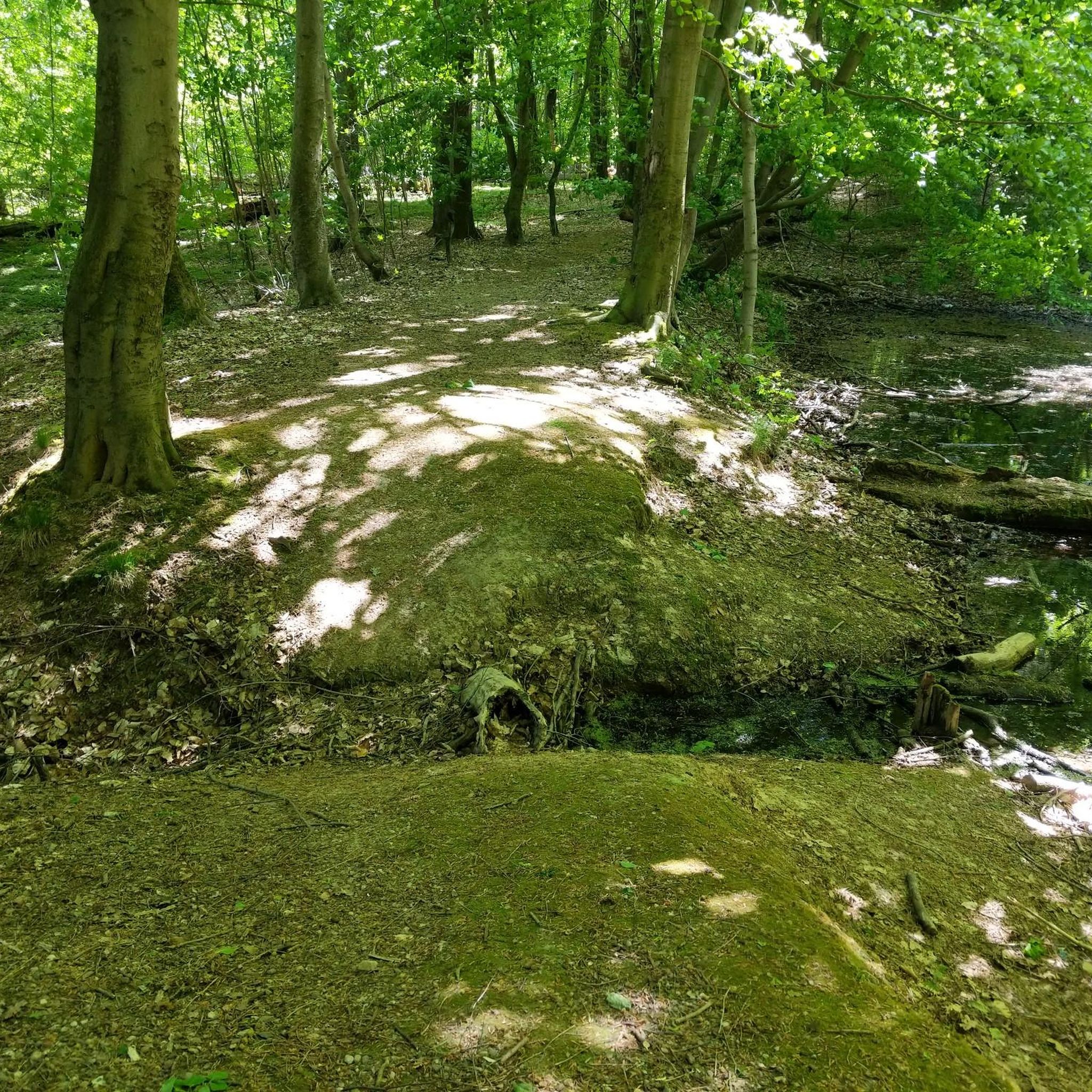
The Pont-Levis is a bascule bridge that crosses the beginning of the disused Rigole de l'Arroux (Arroux gully).
2
0
Frequently Asked Questions
How many road cycling routes are available around La Chapelle-Au-Mans?
There are over 130 road cycling routes available around La Chapelle-Au-Mans, offering a wide range of options for different skill levels and preferences. The region is well-known for its extensive cycling network.
What kind of terrain can I expect when road cycling in the La Chapelle-Au-Mans area?
The terrain around La Chapelle-Au-Mans is varied and undulating, with altitudes ranging from 255 meters to 401 meters. You'll encounter rolling hills, peaceful canals, and verdant countryside, characteristic of the Saône-et-Loire department. This provides both challenging climbs and gentler stretches, often through charming villages and past historical sites.
Are there road cycling routes suitable for beginners or those looking for an easier ride?
Yes, the area offers routes suitable for all abilities. For an easier ride, consider routes like the Dock Café Digoin – Digoin Canal Bridge loop from Chemin des Mollands, which is 43.1 km long and provides a gentler experience, often following waterways.
What are some challenging road cycling routes around La Chapelle-Au-Mans?
For a more challenging ride with significant elevation gain, the Étang de Montperroux – Signal of Mont loop from La Chapelle-au-Mans is a great option. This 79.3 km route leads through varied terrain and includes notable climbs, often taking around 4 hours to complete.
What historical landmarks or attractions can I see along the road cycling routes?
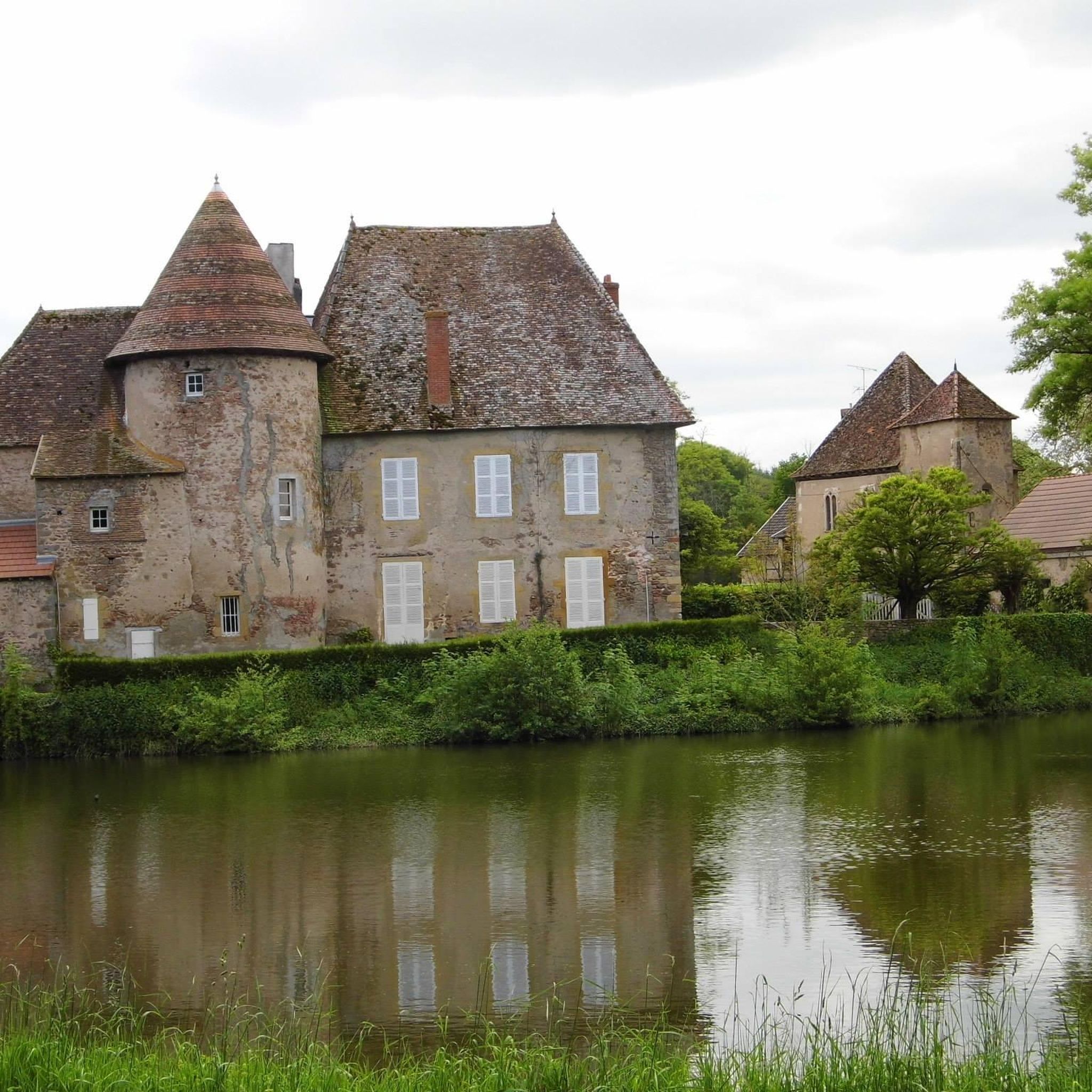
The region is rich in history and natural beauty. You can encounter several points of interest, such as the Château de Lucenier, a historic castle, or the Signal of Mont, which offers panoramic views. The wider Saône-et-Loire region is also known for its impressive Romanesque churches.
Is La Chapelle-Au-Mans a good destination for family-friendly cycling?
While specific dedicated family-friendly road cycling routes within La Chapelle-Au-Mans are not highlighted, the broader Saône-et-Loire department is celebrated for its 'Greenways' movement, offering numerous varied and scenic itineraries that are generally described as 'bucolic and not at all intimidating,' making them suitable for a range of cycling abilities, including families.
What is the best time of year to go road cycling in La Chapelle-Au-Mans?
The best time to go road cycling in La Chapelle-Au-Mans, and the wider Burgundy-Franche-Comté region, is typically during the spring (April to June) and autumn (September to October). During these months, the weather is generally mild and pleasant, with less extreme heat than summer and fewer chances of rain than winter, making for ideal cycling conditions.
Are there circular road cycling routes available?
Yes, many of the routes around La Chapelle-Au-Mans are designed as loops, allowing you to start and finish at the same point. Examples include the The Loire – Digoin Canal Bridge loop from Curdin, a 111.9 km route, and the Water Tower loop from Route Chapelle / Chemin Uva, which is 37.6 km.
What do other road cyclists enjoy most about cycling in La Chapelle-Au-Mans?
The area is highly rated by the komoot community, with an average score of 4.4 stars. Cyclists often praise the peaceful rural setting, the varied terrain that caters to different skill levels, and the charming villages encountered along the way. The extensive network of routes, including those along canals, is also a significant draw.
Where can I find parking for road cycling routes near La Chapelle-Au-Mans?
Given the rural nature of La Chapelle-Au-Mans and its dispersed habitat, parking is generally available in or near the commune's center, or in the villages where specific routes begin. It's advisable to check the starting points of individual routes for specific parking recommendations.
Are there any cafes or restaurants along the road cycling routes in La Chapelle-Au-Mans?
While La Chapelle-Au-Mans is a small rural commune, the wider Saône-et-Loire region and its charming villages often feature local cafes, pubs, and restaurants where cyclists can stop for refreshments. Routes that pass through larger towns like Digoin, for example, will offer more options for food and drink.
Is public transport available to access road cycling routes in La Chapelle-Au-Mans?
Public transport options directly to La Chapelle-Au-Mans might be limited due to its rural setting. However, the Saône-et-Loire department is well-connected, and you might find regional bus services or train stations in nearby larger towns that could provide access points to the broader cycling network. It's recommended to check local transport schedules for specific connections.
Most popular attractions around La Chapelle-Au-Mans

Get inspired with the komoot mobile app


Explore more
Browse the best Road cycling routes in other regions.
