The best MTB trails around La Chapelle-Au-Mans
4.6
(13)
110
riders
28
rides
Mountain biking around La Chapelle-Au-Mans traverses a naturally diverse terrain characterized by rolling hills and valleys. The region features an elevation range of 255 meters to 401 meters, offering varied landscapes for cycling. Extensive forests and country roads provide shaded routes and natural obstacles. This undulating environment creates an ideal setting for mountain biking.
Best mountain bike trails around La Chapelle-Au-Mans
- The most popular mountain bike trail is Toulon-sur-Arroux – Signal of Mont loop from Le Roux, a 52.3…
Last updated: November 5, 2026
4.5
(2)
22
riders
84.5km
06:32
1,500m
1,500m
Hard mountain bike ride. Very good fitness required.
3.5
(2)
4
riders
34.5km
02:23
240m
240m
Moderate mountain bike ride. Good fitness required. Advanced riding skills necessary.

5.0
(2)
8
riders
34.5km
02:42
560m
560m
Moderate mountain bike ride. Good fitness required.
3.0
(1)
6
riders
23.4km
01:19
70m
70m
Moderate mountain bike ride. Advanced riding skills necessary.
5.0
(1)
7
riders
62.5km
04:55
1,050m
1,050m
Hard mountain bike ride. Very good fitness required.
Get access to more routes and recommendations from other explorers.
Already have an account?
Our route recommendations are based on thousands of hikes, rides, and runs completed by other people on komoot.
Start today with a free account
Your next adventure awaits.
Tips from the Community

The Signal de Mont is located at an altitude of 469 meters. The observation tower is 12 meters high and offers a 360° panorama of the rolling Burgundy landscape. You can decipher the view thanks to the eight orientation tables. At the foot of the tower, you will find the remains of a World War II aircraft defense post.
0
0


This is a beautiful medieval town. There are a few restaurants and cafes - I can only recommend everyone to stop here, it's worth it!
0
0

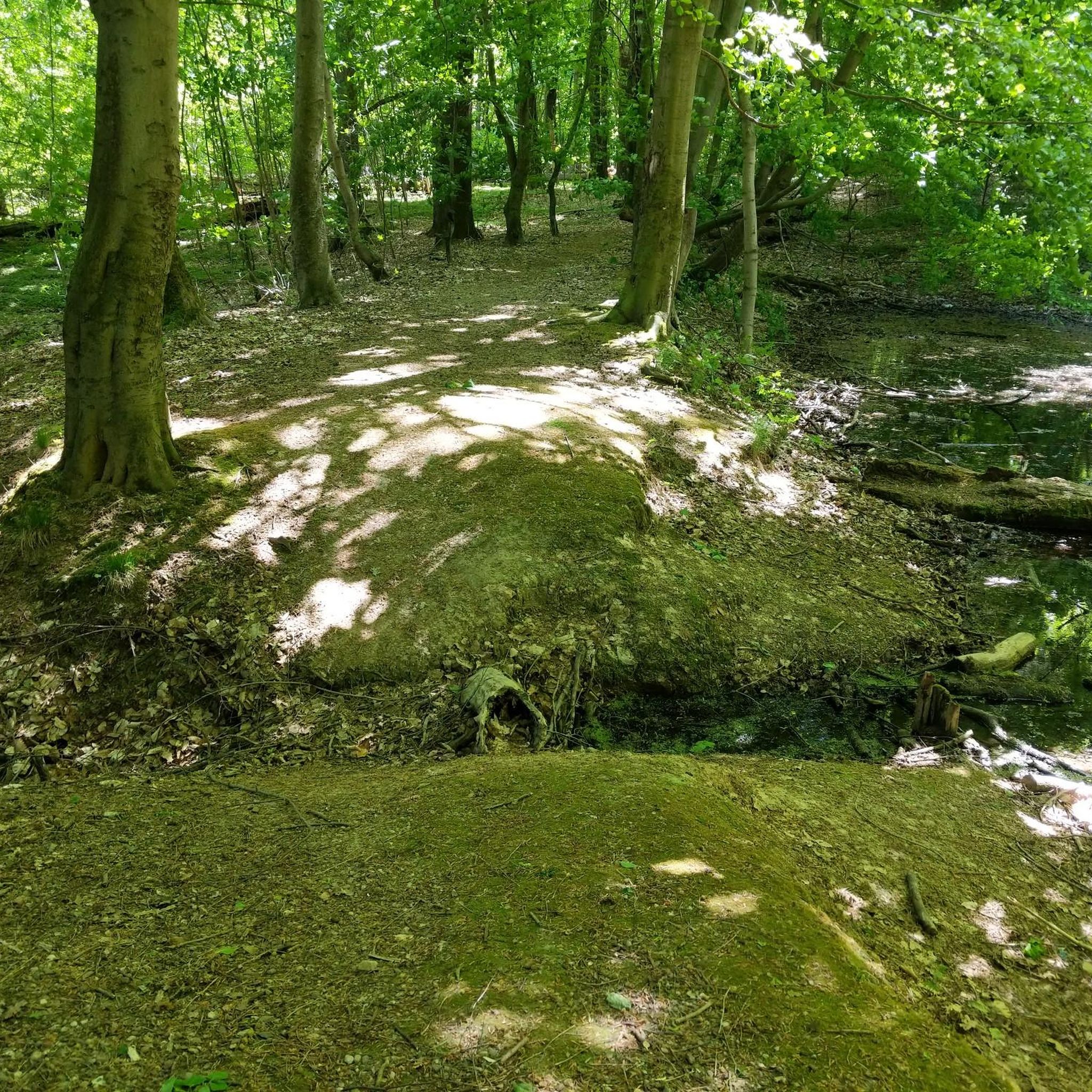
A ford that can be tricky to cross due to its sand and gravel bottom. The "footbridge" is tricky and not recommended with a loaded bike.
0
0

A beautiful little lake. It's worth taking a break. You can also walk around the lake.
0
0
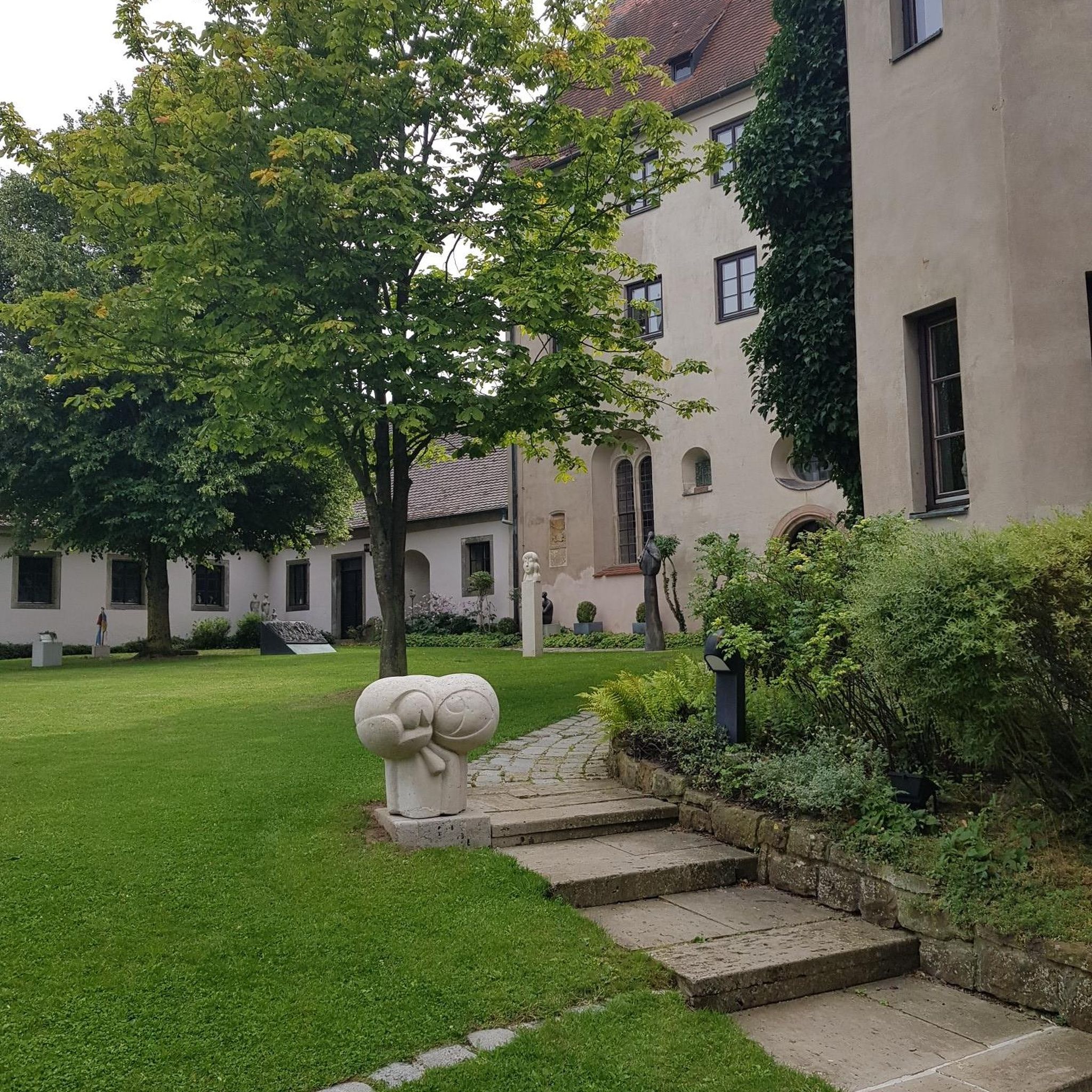
Warm welcome from the members of the association!
0
0

The Bois de la Teugne is a beautiful forest area that is home to a mixture of deciduous and thorny trees. In the middle of the wood, the Signal de Mont culminates at 469 meters above sea level.
1
0
Frequently Asked Questions
How many mountain bike trails are available around La Chapelle-Au-Mans?
The region offers a diverse selection of over 20 mountain bike trails, catering to various skill levels and preferences. These routes traverse the area's rolling hills, valleys, and dense woodlands.
What are the typical difficulty levels of mountain bike trails in this area?
You'll find a good mix of challenges. There are 5 easy trails perfect for beginners or a relaxed ride, 12 moderate routes offering a balanced challenge, and 3 difficult trails for experienced riders seeking more demanding terrain. The overall terrain features an elevation range of 255 to 401 meters.
Are there any family-friendly mountain bike trails in La Chapelle-Au-Mans?
While specific 'family-friendly' designations aren't always explicit, the 5 easy trails available are generally suitable for families or those looking for a less strenuous ride. These routes often follow country roads and less technical forest paths, allowing for a pleasant outing with children.
What kind of scenery can I expect while mountain biking around La Chapelle-Au-Mans?
The landscape is characterized by naturally diverse terrain, including rolling hills, valleys, and extensive forests. You can expect shaded routes through woodlands, open country roads, and elevated areas offering picturesque views of the Bourgogne-Franche-Comté region. The area's rural charm provides a tranquil setting for your ride.
Are there any interesting landmarks or attractions along the mountain bike routes?
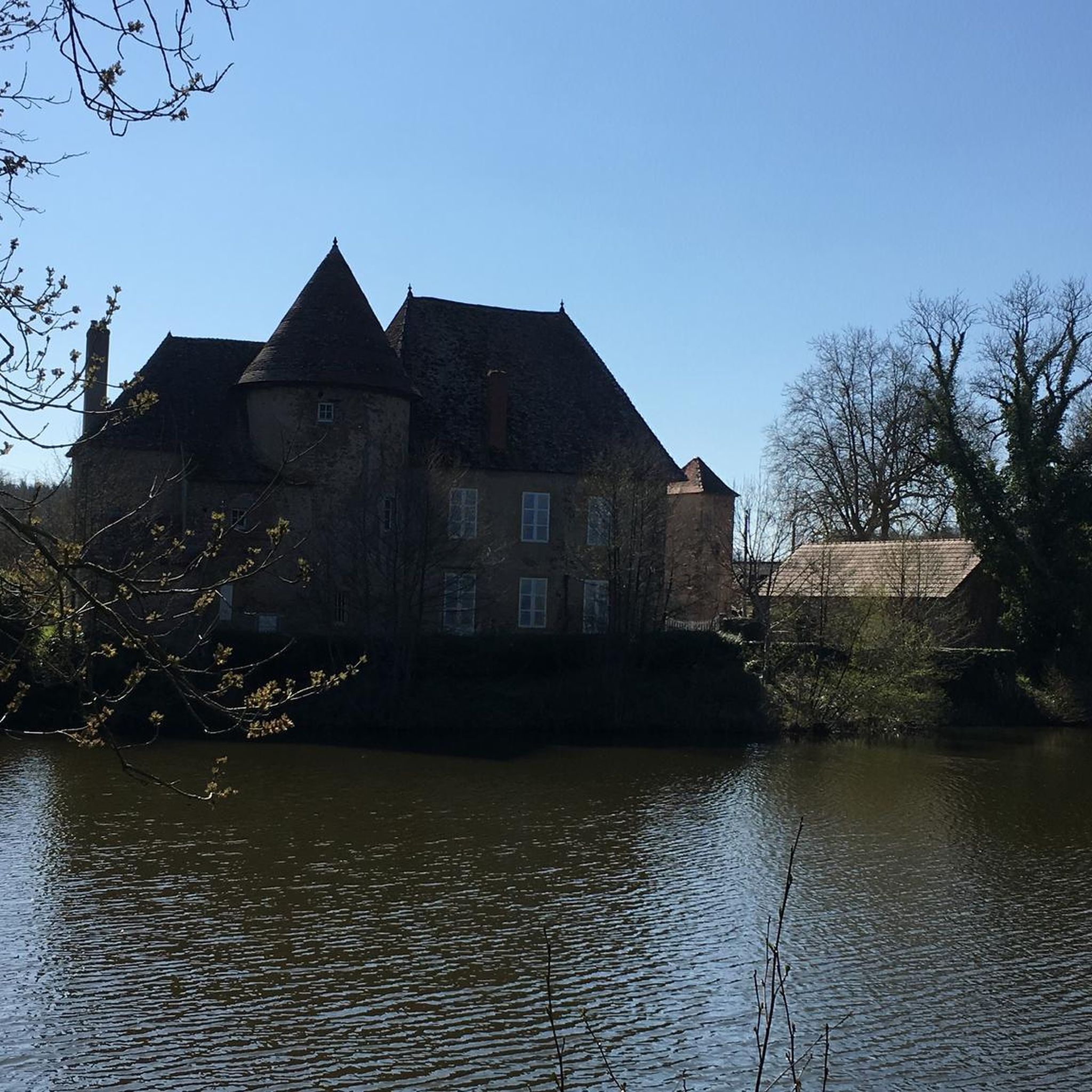
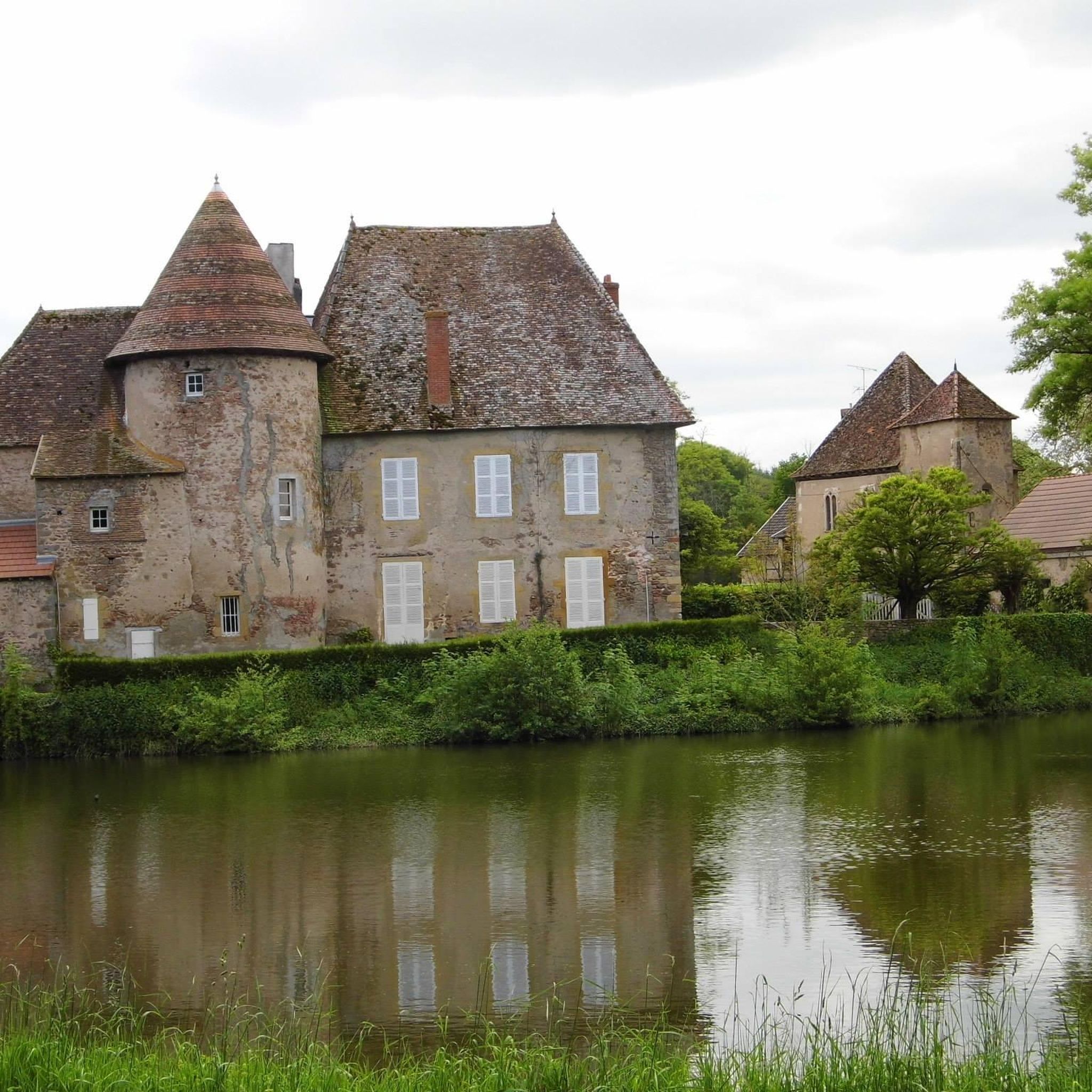
Yes, several points of interest can enhance your ride. You might encounter natural features like the Signal of Mont or Mount Dardon. Historical sites such as the Château de Lucenier, a 13th-century fortified house, are also in the vicinity. For a unique natural feature, look for the Ford on the Ruisseau de Saint-Siacre🤗.
What do other mountain bikers say about the trails in La Chapelle-Au-Mans?
The mountain biking experience in the area is highly regarded by the komoot community, with an average rating of 4.2 stars from over 9 reviews. More than 60 mountain bikers have explored these trails, often praising the varied terrain and the natural beauty of the woodlands and rolling hills.
Are there any loop mountain bike trails available?
Yes, many of the trails are designed as loops, allowing you to start and finish at the same point. Examples include the moderate Mysterious statue loop from Gueugnon and the Mount Dardon – Mount Dardon loop from Gueugnon, which takes you through the area around Mount Dardon.
What is the best time of year to go mountain biking in La Chapelle-Au-Mans?
The region's climate makes spring and autumn particularly pleasant for mountain biking, with milder temperatures and beautiful foliage. Summer can also be enjoyable, especially on shaded forest routes. While winter riding is possible, be prepared for potentially colder and wetter conditions.
Is parking generally available near the trailheads?
As a rural commune, parking is typically available in or near the villages and starting points of many trails. However, specific parking facilities for individual trailheads are not always designated. It's advisable to check local signage or maps for the most convenient parking options when planning your ride.
Are there regional mountain biking networks or other options nearby?
Yes, beyond La Chapelle-au-Mans itself, the broader Burgundy region is known for its mountain biking opportunities. Towns like Paray-le-Monial (approximately 23 km away) and Charolles (approximately 32 km away) offer additional mountain biking circuits. You can find more information on regional networks at Burgundy Tourism.
Can I bring my dog on the mountain bike trails?
While many outdoor areas in France are dog-friendly, specific regulations for mountain bike trails in La Chapelle-au-Mans are not explicitly stated. It's generally recommended to keep dogs on a leash, especially in forested areas or near livestock, and to ensure they are well-behaved and do not disturb wildlife or other trail users.
Are permits required for mountain biking on these trails?
There is no indication that special permits are required for mountain biking on the general network of trails and country roads around La Chapelle-au-Mans. However, always respect private property signs and local regulations, especially when traversing agricultural land or protected areas.
How long do the mountain bike trails typically take to complete?
Trail durations vary significantly based on distance and difficulty. For example, the challenging Toulon-sur-Arroux – Les Buffots Hunting Cabin loop from Uxeau, at 84.1 km, can take over 6 hours. Shorter, moderate routes like the The climb of Uxeau – Mysterious statue loop from Gueugnon (23 km) might take around 1.5 hours, depending on your pace.
Most popular routes around La Chapelle-Au-Mans
Most popular attractions around La Chapelle-Au-Mans

Get inspired with the komoot mobile app


Explore more
Browse the best MTB trails in other regions.
