The best running trails around Sembach
4.5
(348)
5,014
runners
429
runs
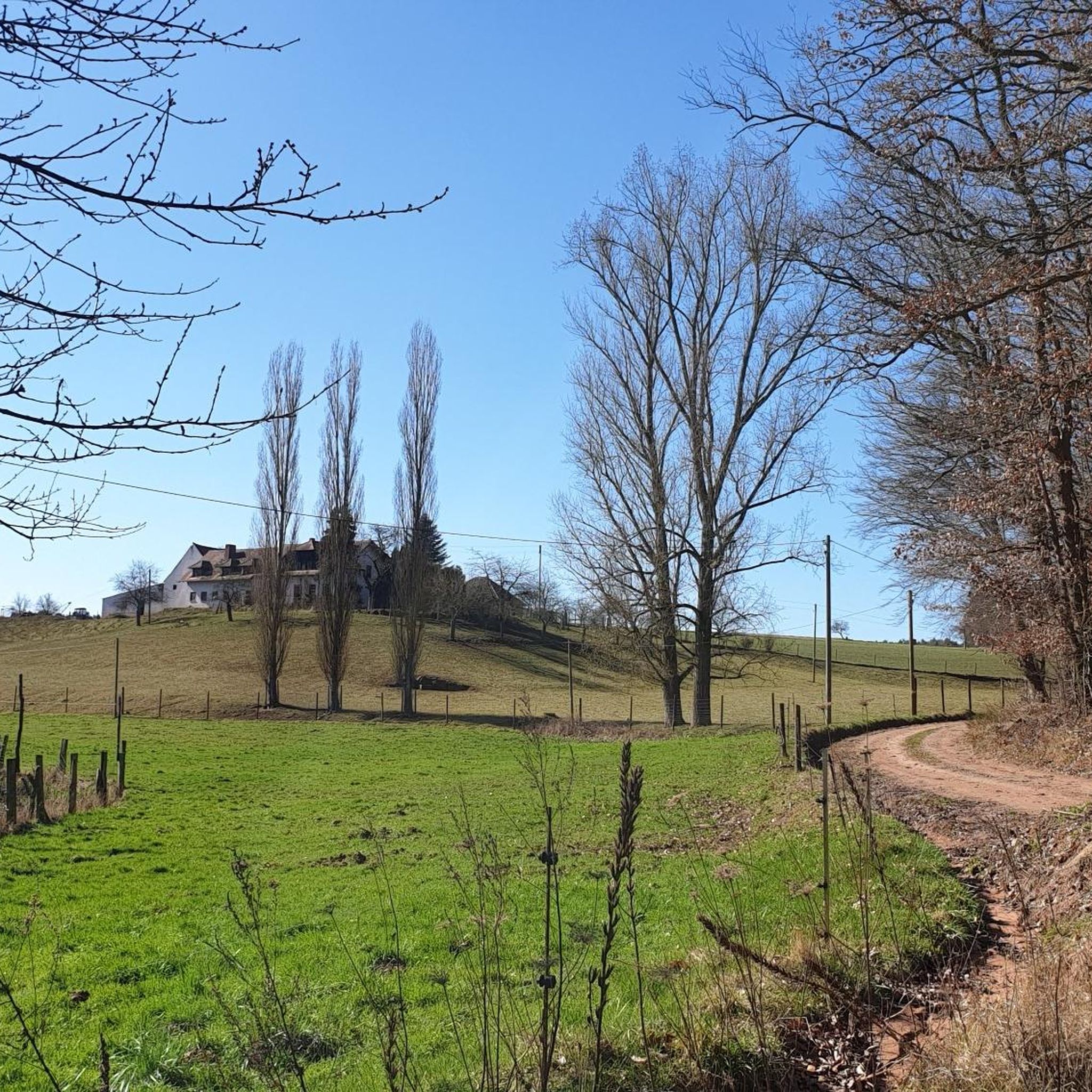
Jogging routes around Sembach traverse the Palatinate region, characterized by dense forests, expansive meadows, and serene streams. The area's rolling hills provide varied topography, offering both challenging inclines and gentle slopes. Situated within the Palatinate Forest, Sembach offers a naturally scenic environment for runners. The unique landscapes of the Mehlinger Heide are also accessible, providing diverse terrain for running.
Best jogging routes around Sembach
- The most popular jogging route is Running loop from Mehlingen, a 3.6 miles (5.8 km)…
Last updated: November 4, 2026
4.6
(16)
47
runners
5.80km
00:36
30m
30m
Moderate run. Good fitness required. Mostly paved surfaces.
4.0
(1)
13
runners
23.5km
02:30
140m
140m
Hard run. Very good fitness required. Mostly paved surfaces.

10
runners
18.8km
02:00
190m
190m
Hard run. Very good fitness required. Mostly paved surfaces.
13
runners
10.3km
01:12
90m
90m
Moderate run. Good fitness required. Mostly paved surfaces.
10
runners
7.17km
00:45
70m
70m
Moderate run. Good fitness required. Mostly paved surfaces.
Get access to more routes and recommendations from other explorers.
Already have an account?
Our route recommendations are based on thousands of hikes, rides, and runs completed by other people on komoot.
Start today with a free account
Your next adventure awaits.
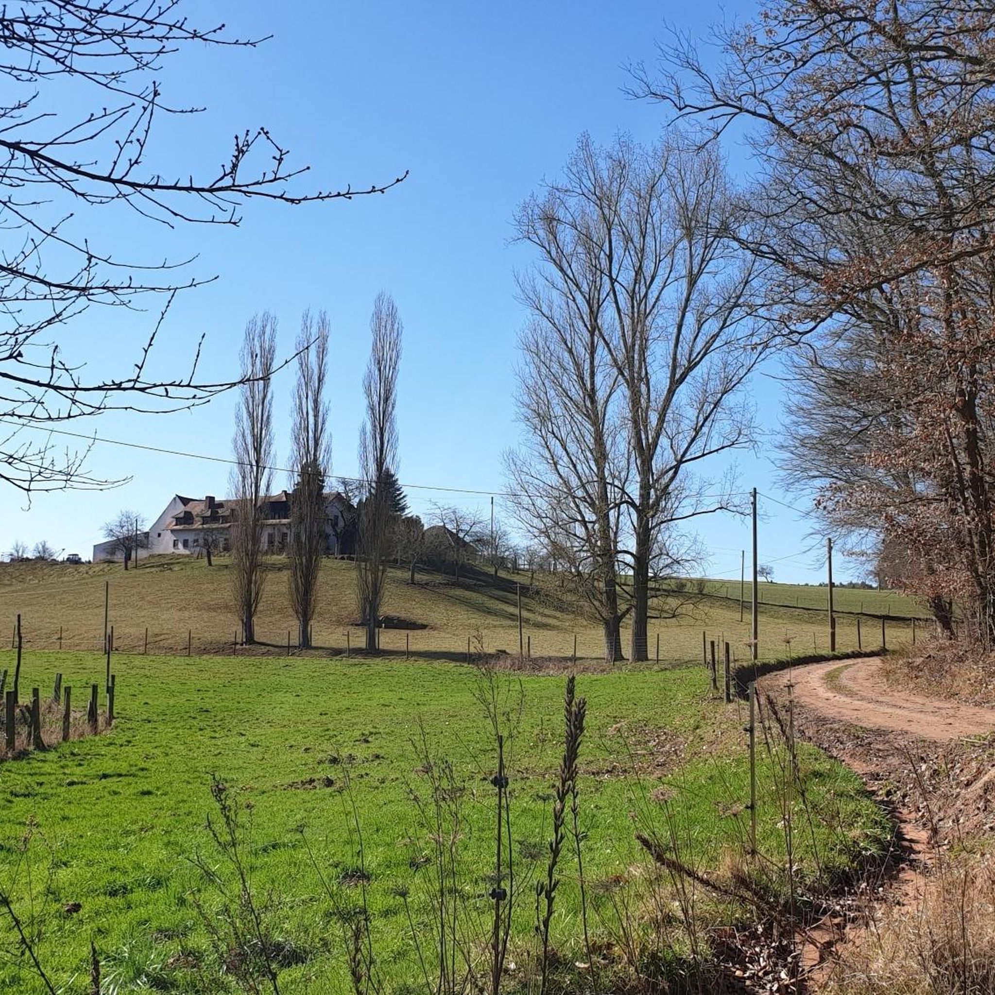
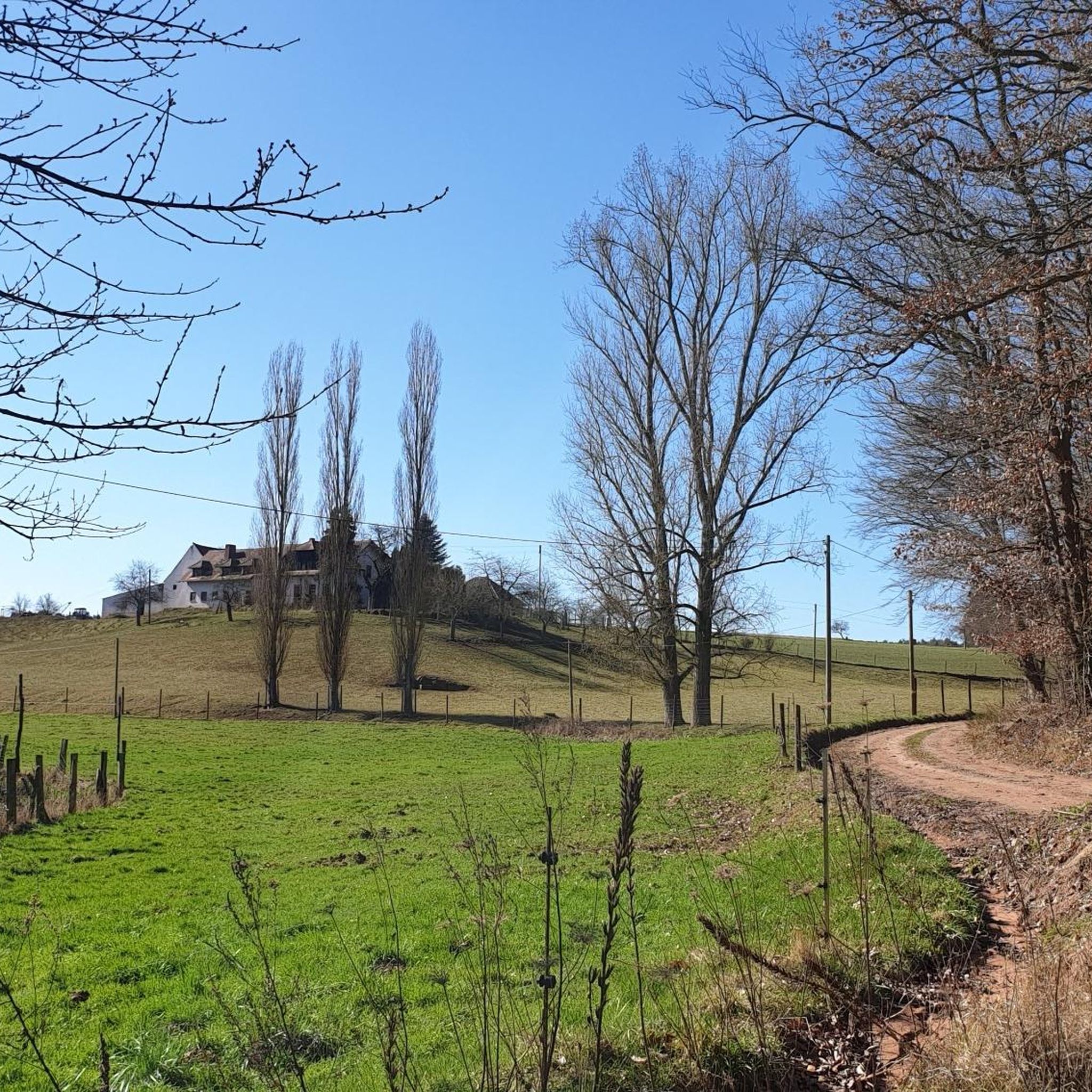
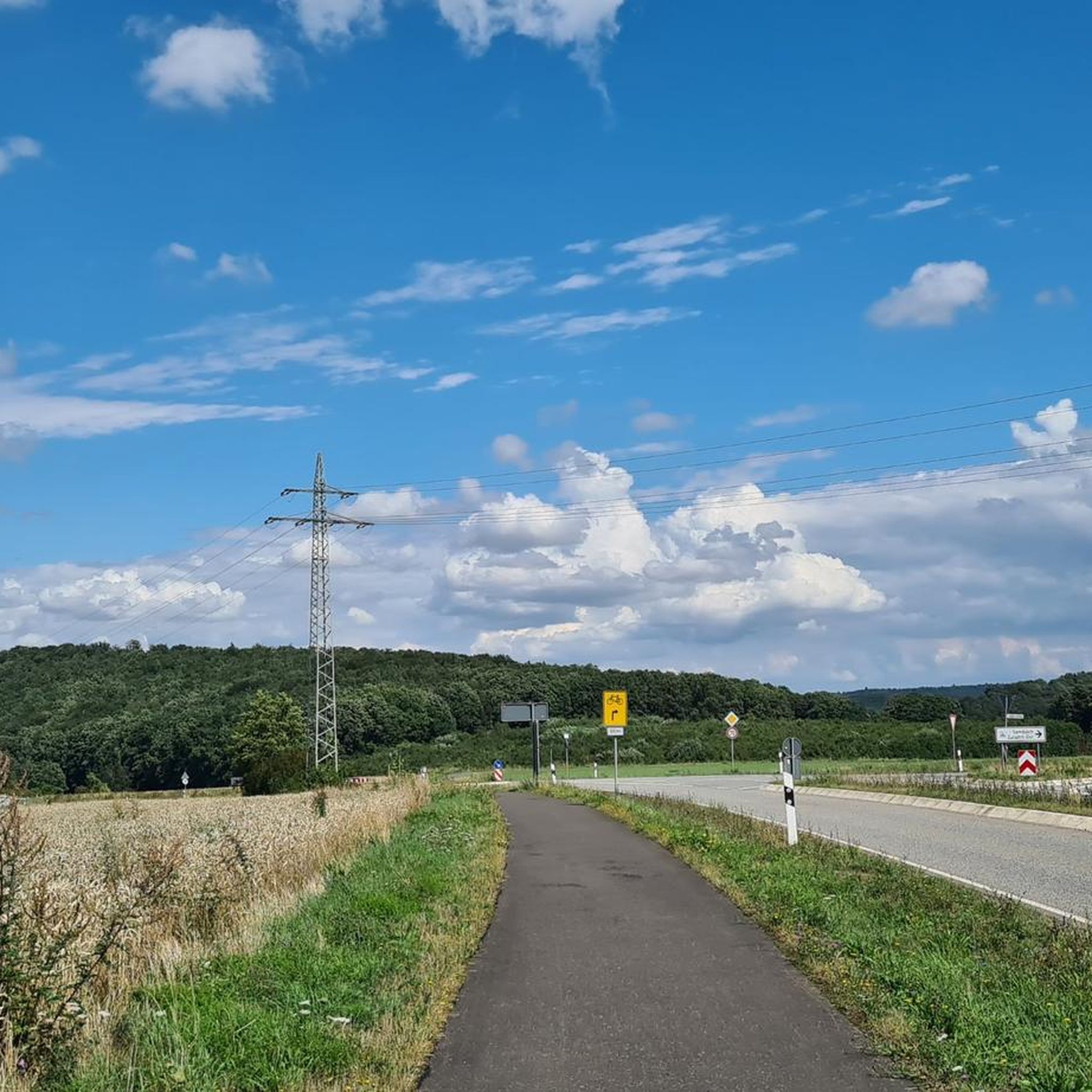
Tips from the Community

you can eat well
0
0

At the junction of the L 393 and the B 48 near Sembach stands the so-called Baudweiler Cross, a striking sandstone wayside cross with a rich history. The original stone cross dates from around 1500. The name commemorates the former, eponymous village of Baudweiler (also Bautweiler), a settlement that was likely completely destroyed and disappeared during the horrors of the Thirty Years' War. [1] (https://de.wikipedia.org/wiki/Baudweiler), [2] (https://www.suehnekreuz.de/rhein/texte/schnabel1983.html), [3] (https://www.suehnekreuz.de/rhein/sembach.htm)After the historical original cross had been moved from the meadows to a traffic island over the centuries and later destroyed by American tanks, a faithful replica was made in 1962. Directly next to the cross is a sandstone tablet showing the coat of arms of the Counts of Wartenberg. [1]Two well-known legends surround the origin of the cross in the region:The legend of the lost village: On the one hand, it is simply considered a lasting memorial cross for the vanished settlement of Baudweiler in local folklore. [1]The carriage tragedy: A more dramatic tale says that the Count of Wartenberg once raced down the steep Sembach slope with his carriage. Upon reaching the valley, the team got out of control and plunged with all its occupants into a pond (Woog) dammed up there at the time, in which all occupants drowned. [1] (https://www.suehnekreuz.de/geschichte4.html)Whether the Baudweiler Cross was originally erected as a classic penance cross for a crime or as a pure memorial and asylum cross has not been definitively clarified historically. Today, the newly erected monument is in any case an important cultural monument that keeps the regional history and myths of the Palatinate alive.
0
0

so if you want to have a nice view over the heath in the rain
0
0
worth seeing and interesting information board, as with all Zeitzeichen
0
0
simply beautiful and idyllic these ponds with the benches and small resting places on the edge and between the ponds
0
0
very idyllic spot with a beautiful view of the Donnersberg, you should also stop by
0
0
very nice view of the Donnersberg
0
0
Frequently Asked Questions
How many running routes are available around Sembach?
There are over 390 dedicated running routes around Sembach, catering to various fitness levels and preferences. You'll find a wide selection, from easy, flat paths to more challenging trails with significant elevation changes.
What are the difficulty levels of the jogging trails in the Sembach area?
The running routes around Sembach offer a good mix of difficulties. You can find approximately 50 easy routes perfect for beginners or a relaxed jog, over 280 moderate trails, and around 70 challenging routes for experienced runners seeking a more strenuous workout.
Are there any long-distance running routes near Sembach?
Yes, for those looking for a longer run, Sembach offers several extended routes. For example, the challenging Münchweiler train station – Schwarzweiher Enkenbach loop from Mehlingen covers nearly 24 kilometers, taking you through diverse landscapes.
Can I find circular running trails in Sembach?
Absolutely. Many of the running routes in the Sembach region are circular, allowing you to start and end your run at the same point. A popular moderate option is the Running loop from Mehlingen, which is just under 6 kilometers.
What scenic highlights can I expect to see while jogging around Sembach?
The Sembach area, nestled within the Palatinate Forest, offers stunning natural beauty. You can enjoy dense forests, expansive meadows, and serene streams. A particularly beautiful spot is the Mehlinger Heide, especially in late July and early August when the heather blooms. You might also catch glimpses of historical sites like the Ruins of Falkenstein Castle from certain viewpoints.
Are there any family-friendly jogging routes in the Sembach region?
While specific 'family-friendly' designations aren't always explicit for jogging, many of the easier and moderate routes with less elevation are suitable for families. Look for paths through meadows and along streams that offer a gentler experience. The natural setting of the Palatinate Forest provides a great environment for all ages.
What do other runners say about the jogging experience in Sembach?
The running routes around Sembach are highly regarded by the komoot community, with an average rating of 4.4 out of 5 stars from over 320 reviews. Runners often praise the diverse terrain, the tranquility of the Palatinate Forest, and the well-maintained paths that offer a refreshing outdoor experience.
Are there any running routes that pass through the Mehlinger Heide?
Yes, the Mehlinger Heide is a significant natural highlight for runners. You can explore this unique landscape on routes like the moderate Mehlinger Heath – Mehlingen Heath loop from Sembach, which is about 10 kilometers long and offers beautiful views, especially when the heather is in bloom.
Where can I find parking near the jogging trails in Sembach?
Many trailheads and popular starting points for running routes in and around Sembach, especially those leading into the Palatinate Forest or towards the Mehlinger Heide, typically have designated parking areas. It's advisable to check the specific route details on komoot for parking information related to your chosen trail.
Are there any challenging running routes with significant elevation around Sembach?
For runners seeking a challenge, the rolling hills of the Palatinate region offer routes with notable elevation changes. An example is the difficult War Memorial Baalborn – Donnersberg Scenic Route loop from Mehlingen, which features over 180 meters of ascent over its 18.7-kilometer distance.
Most popular attractions around Sembach

Get inspired with the komoot mobile app


Explore more
Browse the best Running Trails & Routes in other regions.
