The best gravel rides around Sembach
4.5
(59)
257
riders
42
rides
Gravel biking around Sembach offers diverse terrain within the Palatinate region of Germany, characterized by rolling hills, dense forests, and open meadows. The area provides varied surfaces for gravel cyclists, including a network of trails that wind through the Palatinate Forest Nature Park and across fields. The landscape incorporates both challenging climbs and enjoyable descents, with trails often utilizing former airfield paths.
Best gravel bike trails around Sembach
- The most popular gravel bike trail is Eistal Viaduct (Eistalviadukt) – Lake…
Last updated: October 6, 2026
4.8
(4)
32
riders
41.0km
02:11
260m
260m
Moderate gravel ride. Good fitness required. Mostly paved surfaces. Suitable for all skill levels.
4.8
(5)
9
riders
Moderate gravel ride. Good fitness required. Mostly paved surfaces. Suitable for all skill levels.

4.6
(5)
14
riders
33.7km
02:07
360m
360m
Moderate gravel ride. Good fitness required. Mostly paved surfaces. Suitable for all skill levels.
8
riders
28.9km
01:49
350m
350m
Hard gravel ride. Good fitness required. You may need to push your bike for some segments of this route.
9
riders
50.1km
02:57
440m
440m
Moderate gravel ride. Good fitness required. Mostly paved surfaces. Suitable for all skill levels.
Get access to more routes and recommendations from other explorers.
Already have an account?
Our route recommendations are based on thousands of hikes, rides, and runs completed by other people on komoot.
Start today with a free account
Your next adventure awaits.
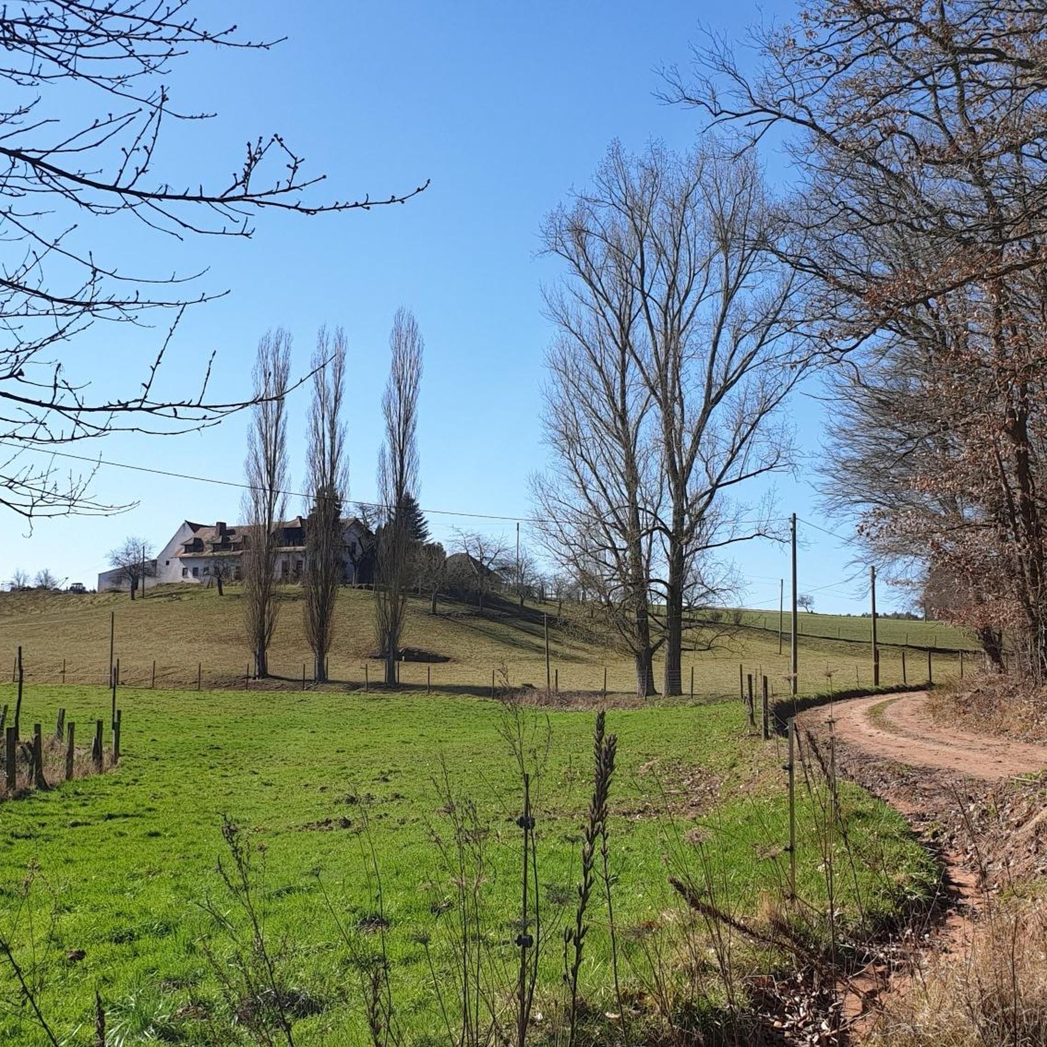
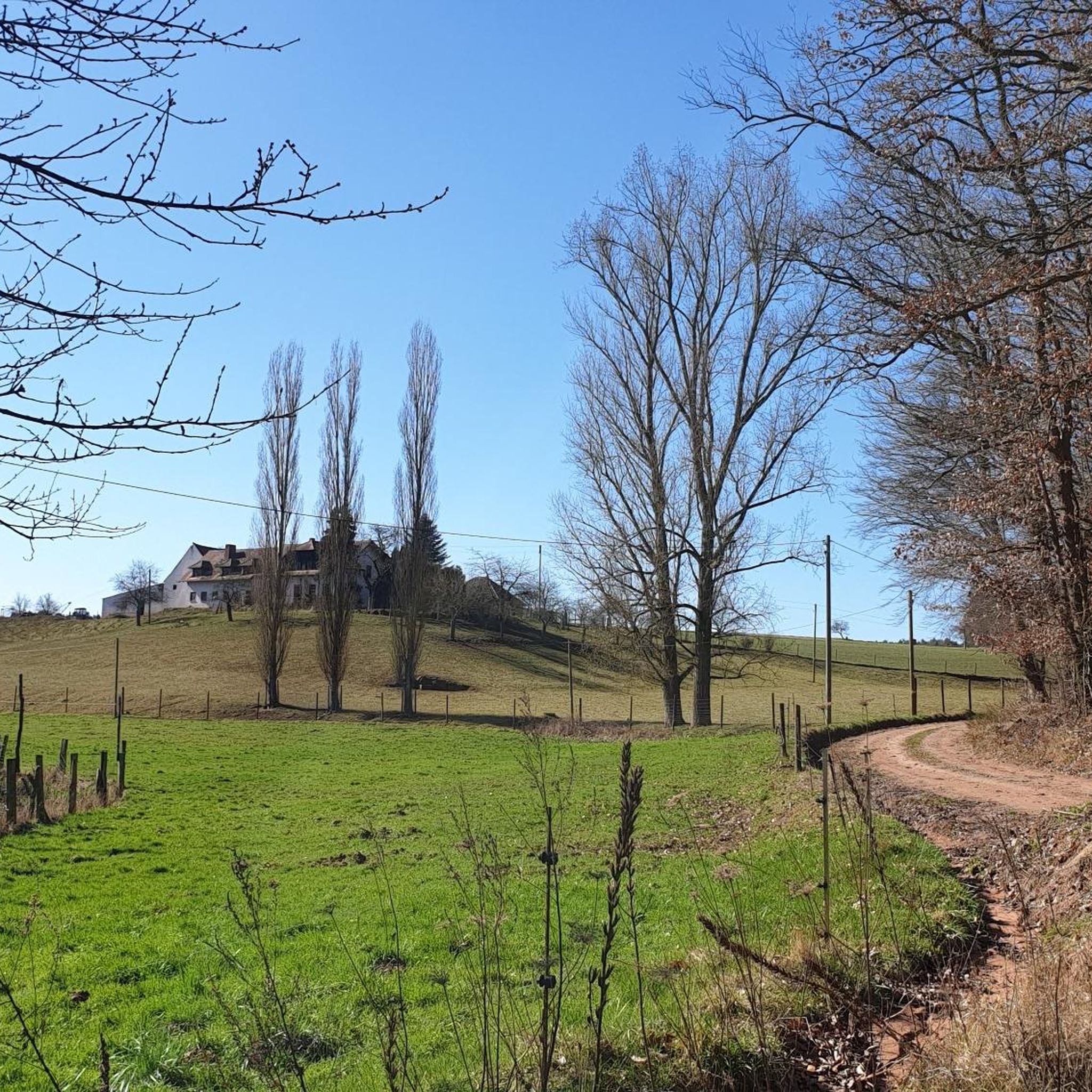
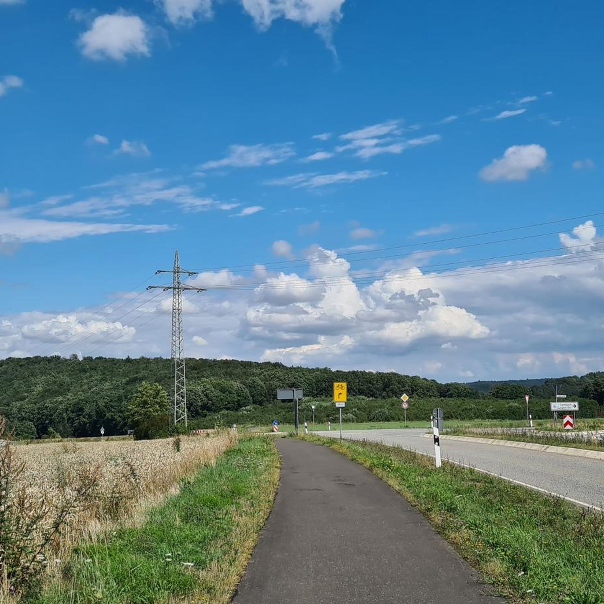
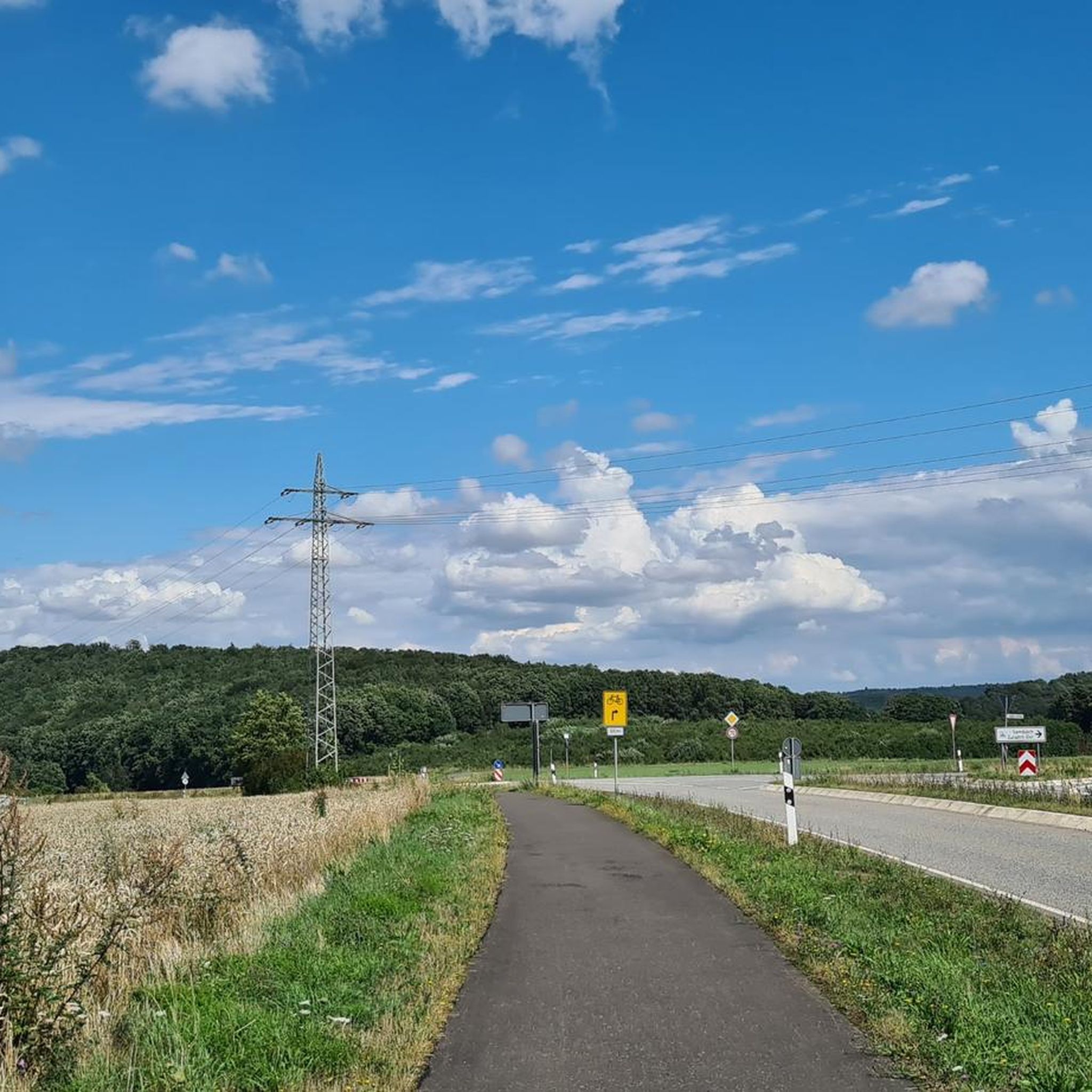
Tips from the Community

The Steigerweiher (also called Oberer Pfrimmweiher) is located in the Donnersberg district in Rhineland-Palatinate near Sippersfeld in the northern Palatinate Forest and is one of several small ponds shortly after the Pfrimm spring.
2
0
The Pfrimmweiher is located in the Donnersberg district in Rhineland-Palatinate, not far from the Pfrimm spring in the Sippersfelder Weiher nature reserve. Southeast of the municipality of Sippersfeld, near the hamlet of Pfrimmerhof in the Palatinate Forest Nature Park. The Pfrimmweiher (a small reservoir or pond) is located just a few hundred meters below the captured Pfrimm spring.
2
0
The Retzberghütte is located directly on the idyllic Retzbergweiher in Sippersfeld on the edge of the Palatinate Forest and is a popular destination for hikers and day-trippers. The pond and the hut are located near 67729 Sippersfeld (Donnersbergkreis / northern Palatinate Forest). The serviced hut offers classic Palatinate cuisine (like Saumagen and Leberknödel), homemade cakes, special dishes on Thursdays, and fresh fish variations on Fridays. See: https://www.retzberghuette.de/
2
0

August 2026 The hut is super to reach by bike! And the family cooks great! The cake is also delicious.
1
0

The Eiswoog (often also referred to as Eiswoogsee) is a picturesque reservoir of approximately 2.7 hectares in the northern Palatinate Forest, more precisely in the wooded Stumpfwald near the municipality of Ramsen. The body of water is fed by the Eisbach – regionally also affectionately called „die Eis“ – whose name historically derives from the region's rich iron ore deposits. Contrary to popular myths, the lake's name therefore has nothing to do with frozen water. Originally formed as a natural lake, in the Middle Ages, the nuns of the Ramosa monastery further dammed the stream as a fishpond. Later, in 1812, the famous ironworks owner Ludwig von Gienanth acquired the lake to secure the water power supply for his downstream ironworks and mills, even during dry periods. To this day, the body of water remains privately owned by the Gienanth entrepreneurial family. Nowadays, the Eiswoog has developed into one of the most popular natural and excursion destinations in West and Vorderpfalz. Directly on the historic dam lies the well-known hotel-restaurant [„Seehaus Forelle“](1.1.6, 1.4.4), which is appreciated for its regional fish specialties. Around the body of water runs a roughly three-kilometer-long, barrier-free nature trail with interactive stations and a wooden viewing platform that juts out flat into the lake. To protect the sensitive ecosystem and the local fish farming – the lake serves, among other things, as a habitat for the rare kingfisher – private swimming and boating are now strictly forbidden.
10
0

Picturesque pond in the nature reserve of the Wurzelwooggraben. Once there was a hammer mill here, hence the name. You can cycle or walk around it.
0
0
Several beautiful footpaths and cycle paths run through the Eselsbach valley. The shady forest and the babbling brook ensure a relaxing green tour, especially in summer, not far from the city center.
0
0

Frequently Asked Questions
How many gravel bike trails are available around Sembach?
There are over 60 gravel bike trails around Sembach listed on komoot, offering a wide range of options for different skill levels and preferences. The region's diverse landscape, including rolling hills, dense forests, and open meadows, provides varied surfaces for gravel cyclists.
Are there any easy or beginner-friendly gravel routes in the Sembach area?
Yes, Sembach offers several moderate routes suitable for beginners or those looking for a less strenuous ride. For example, the Waldlock Forest Café & Nature Resort – View of Donnersberg loop from Münchweiler (Alsenz) is a moderate 23.7 km route with manageable elevation changes, perfect for a relaxed gravel experience.
What kind of long-distance gravel routes can I find near Sembach?
For those seeking a longer challenge, Sembach offers extensive routes that traverse varied landscapes. The Eistal Viaduct (Eistalviadukt) – Lake Eiswoog and Viaduct loop from Enkenbach-Alsenborn is a challenging 101.9 km trail that leads through the scenic Eistal, often taking over 7 hours to complete.
Are there any challenging gravel bike routes around Sembach?
Absolutely. The Palatinate region around Sembach features rolling hills and varied terrain that can provide a significant challenge. Routes like the Mehlinger Heath – Eselsbach Forest Path loop from Enkenbach-Alsenborn, at 66.9 km with considerable elevation gain, are rated as difficult and will test experienced gravel bikers.
What natural features or landmarks can I expect to see along the gravel trails?
The gravel trails around Sembach wind through diverse landscapes, including dense forests, open meadows, and alongside idyllic streams. You can expect to encounter sections of the Palatinate Forest Nature Park, the former Sembach Airfield with its multi-use trails, and paths along the Schwarzweiher. For specific points of interest, consider exploring nearby caves like the Börrstadt Hermitage or historical sites such as the Iron Gate.
Are there any circular gravel routes available?
Yes, many of the gravel routes around Sembach are designed as loops, allowing you to start and end at the same point. An example is the popular Beilstein Castle Ruins – Leinbach Valley loop from Enkenbach-Alsenborn, which is a 44.1 km moderate trail exploring the Leinbach Valley and passing historic castle ruins.
What is the best time of year for gravel biking in Sembach?
The Palatinate region around Sembach is enjoyable for gravel biking throughout much of the year. Spring and autumn offer pleasant temperatures and vibrant scenery, with the changing foliage in fall being particularly beautiful. Summer can be great, but it's advisable to start early to avoid the midday heat. Winter riding is possible, but trails might be muddy or icy, especially in forested areas.
Are there any family-friendly gravel biking options?
While specific 'family-friendly' routes are not explicitly detailed, the area's varied terrain includes smoother, wider sections, particularly on the remnants of the former Sembach Airfield. These sections, often part of the Pfaelzer-Land route spur, could be suitable for families looking for a relaxed ride. Always check the route's difficulty and distance to ensure it matches your family's capabilities.
What do other gravel bikers enjoy most about Sembach?
The komoot community highly rates gravel biking in Sembach, with an average score of 4.6 stars from over 50 reviews. Riders often praise the diverse terrain, which includes a mix of challenging climbs and enjoyable descents, and the scenic beauty of the Palatinate Forest Nature Park and its rolling hills.
Are there historical sites or viewpoints along the gravel trails?
Yes, the region offers a blend of natural beauty and historical interest. You can find viewpoints like the 'Sitzgruppe Mehlinger Blick' on the former Sembach airfield, offering magnificent views of Mehlingen. Additionally, routes may pass by or lead to historical sites such as the White Mine — Visitor Mine or the Katharina I Mine, providing interesting stops during your ride.
Is there public transport access to gravel trails in Sembach?
Sembach is situated in a region with some public transport connections. While specific trailheads might require a short ride or walk from public transport stops, the general area is accessible. It's recommended to check local bus or train schedules to nearby towns like Enkenbach-Alsenborn or Münchweiler (Alsenz), which serve as starting points for several routes, and plan your journey accordingly.
Where can I find parking for gravel biking trailheads in Sembach?
Many of the gravel routes around Sembach start from towns or villages like Enkenbach-Alsenborn or Münchweiler (Alsenz), where public parking is generally available. Specific parking information for individual trailheads is often provided within the komoot tour details, so it's best to check the route page for the most accurate and up-to-date parking options.
Most popular attractions around Sembach

Get inspired with the komoot mobile app


Explore more
Browse the best Gravel rides in other regions.
