The best running trails around Wartenberg-Rohrbach
4.4
(336)
4,885
runners
395
runs
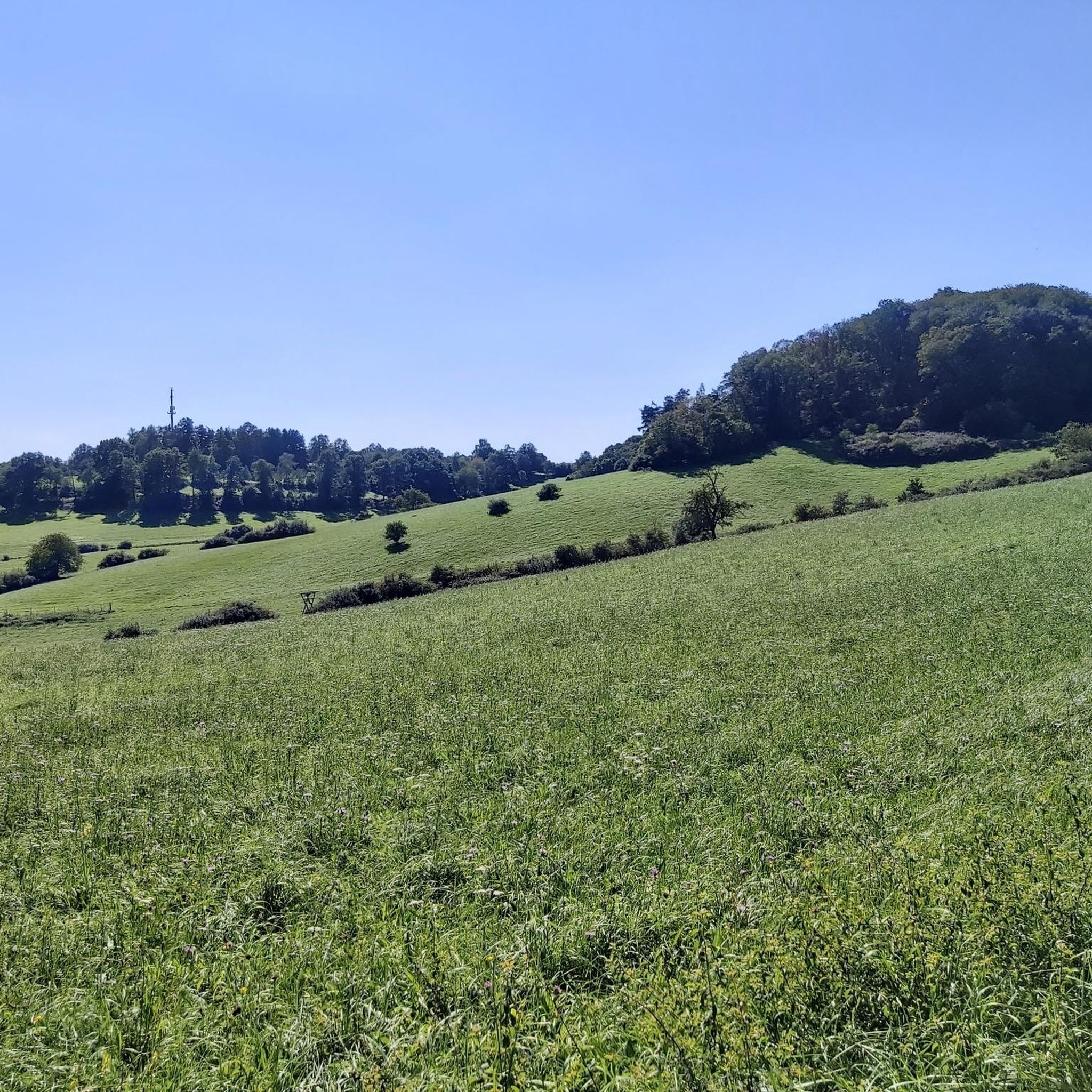
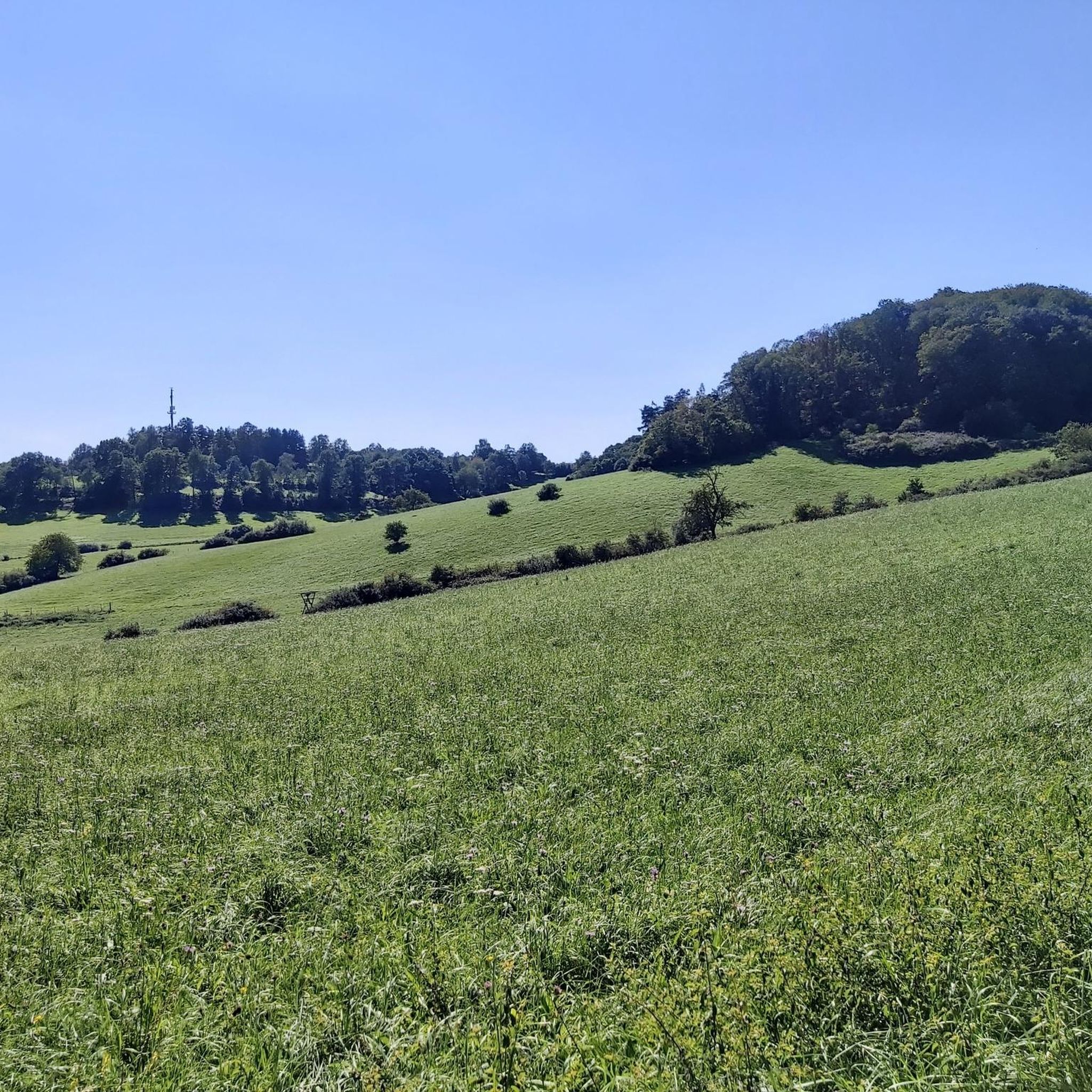
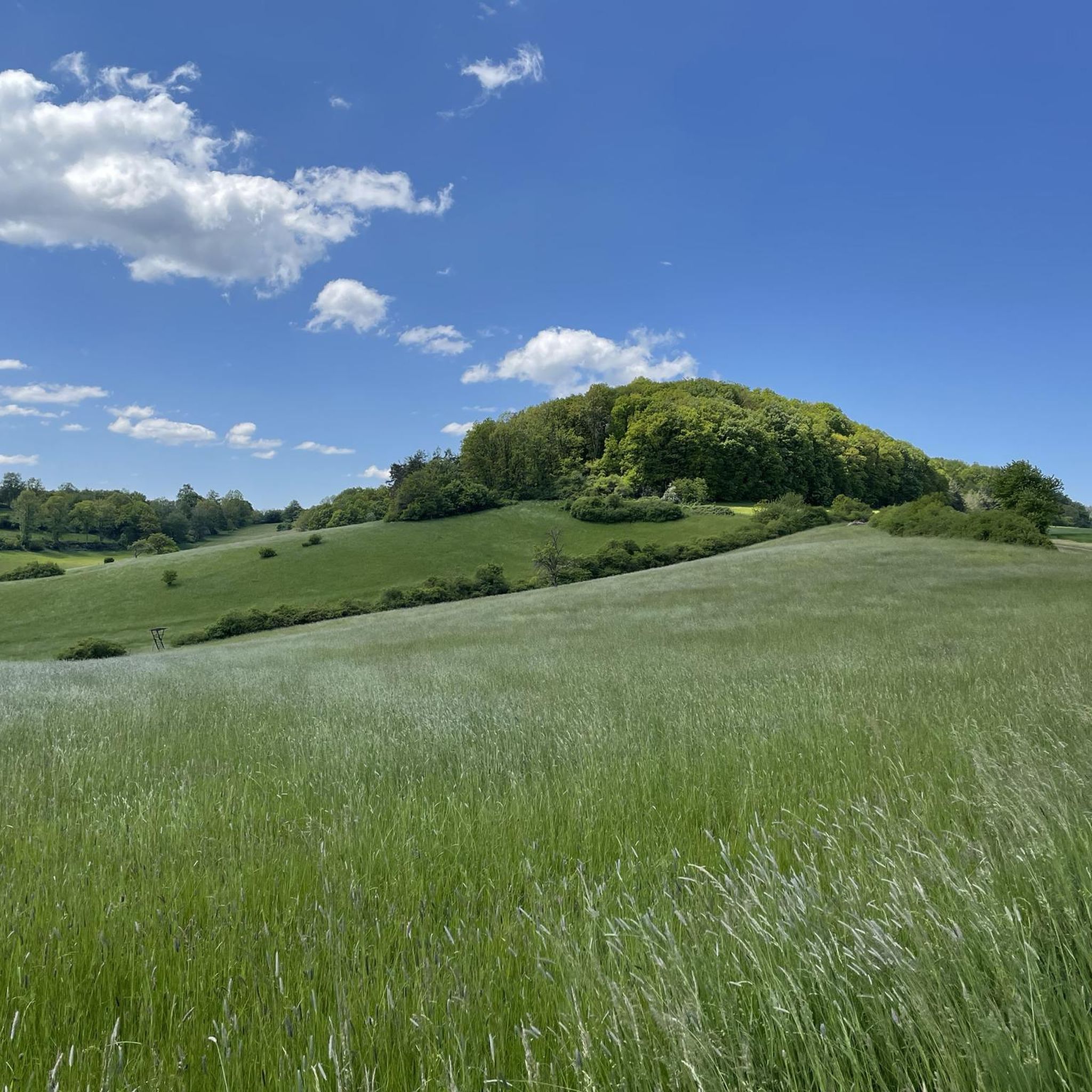
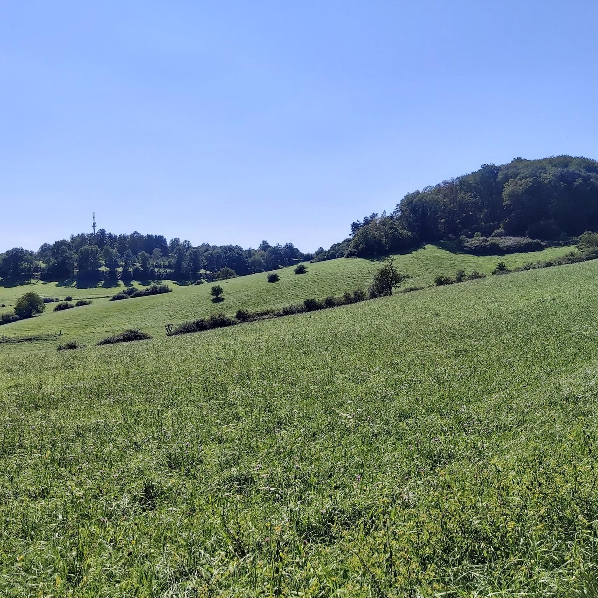
Jogging around Wartenberg-Rohrbach offers a variety of paths through its gently rolling hills and agricultural landscapes. The region is characterized by open fields, interspersed with smaller woodlands and stream valleys, providing a mix of terrain suitable for different running preferences. These features create an environment for runners seeking both easy jogging routes and more challenging paths. The area is nestled in the Nordpfälzer Bergland, offering picturesque settings.
Best jogging routes around Wartenberg-Rohrbach
- The most popular jogging route is Münchweiler train…
Last updated: November 4, 2026
4.0
(1)
13
runners
23.5km
02:30
140m
140m
Hard run. Very good fitness required. Mostly paved surfaces.
10
runners
18.8km
02:00
190m
190m
Hard run. Very good fitness required. Mostly paved surfaces.

13
runners
10.3km
01:12
90m
90m
Moderate run. Good fitness required. Mostly paved surfaces.
12
runners
6.17km
00:41
60m
60m
Moderate run. Good fitness required. Mostly paved surfaces.
7
runners
14.1km
01:32
170m
170m
Moderate run. Good fitness required. Mostly paved surfaces.
Get access to more routes and recommendations from other explorers.
Already have an account?
Our route recommendations are based on thousands of hikes, rides, and runs completed by other people on komoot.
Start today with a free account
Your next adventure awaits.

Tips from the Community

... in the forest passage towards Mohrlautern (official cycle path)
0
0

you can eat well
0
0

At the junction of the L 393 and the B 48 near Sembach stands the so-called Baudweiler Cross, a striking sandstone wayside cross with a rich history. The original stone cross dates from around 1500. The name commemorates the former, eponymous village of Baudweiler (also Bautweiler), a settlement that was likely completely destroyed and disappeared during the horrors of the Thirty Years' War. [1] (https://de.wikipedia.org/wiki/Baudweiler), [2] (https://www.suehnekreuz.de/rhein/texte/schnabel1983.html), [3] (https://www.suehnekreuz.de/rhein/sembach.htm)After the historical original cross had been moved from the meadows to a traffic island over the centuries and later destroyed by American tanks, a faithful replica was made in 1962. Directly next to the cross is a sandstone tablet showing the coat of arms of the Counts of Wartenberg. [1]Two well-known legends surround the origin of the cross in the region:The legend of the lost village: On the one hand, it is simply considered a lasting memorial cross for the vanished settlement of Baudweiler in local folklore. [1]The carriage tragedy: A more dramatic tale says that the Count of Wartenberg once raced down the steep Sembach slope with his carriage. Upon reaching the valley, the team got out of control and plunged with all its occupants into a pond (Woog) dammed up there at the time, in which all occupants drowned. [1] (https://www.suehnekreuz.de/geschichte4.html)Whether the Baudweiler Cross was originally erected as a classic penance cross for a crime or as a pure memorial and asylum cross has not been definitively clarified historically. Today, the newly erected monument is in any case an important cultural monument that keeps the regional history and myths of the Palatinate alive.
0
0

so if you want to have a nice view over the heath in the rain
0
0
worth seeing and interesting information board, as with all Zeitzeichen
0
0
simply beautiful and idyllic these ponds with the benches and small resting places on the edge and between the ponds
0
0
very idyllic spot with a beautiful view of the Donnersberg, you should also stop by
0
0
Frequently Asked Questions
How many running routes are available in Wartenberg-Rohrbach?
There are over 360 running routes around Wartenberg-Rohrbach, offering a wide variety of options for different preferences and fitness levels. This includes 41 easy routes, 262 moderate routes, and 66 difficult routes.
Are there easy jogging paths suitable for beginners in Wartenberg-Rohrbach?
Yes, Wartenberg-Rohrbach offers 41 easy jogging paths perfect for beginners or those looking for a more relaxed run. These routes typically feature gentle inclines and well-maintained surfaces through open fields and smaller woodlands.
Can I find family-friendly running trails in the Wartenberg-Rohrbach area?
The region's gently rolling hills and varied terrain include many paths suitable for families. Look for the 'easy' rated routes, which often traverse open fields and stream valleys, providing a pleasant and accessible experience for all ages.
Are dogs allowed on the running trails around Wartenberg-Rohrbach?
Many of the running trails in Wartenberg-Rohrbach are dog-friendly, especially those through open fields and woodlands. It's always a good idea to keep your dog on a leash, especially near agricultural areas or wildlife, and to check local signage for any specific restrictions.
What kind of scenic views can I expect on jogging routes in Wartenberg-Rohrbach?
Runners can enjoy scenic views of agricultural landscapes, open fields, and interspersed woodlands. For specific viewpoints, consider routes that pass by the Viewing platform on "Höhe 325" or the Iron Man at Beutelfels, which offer elevated perspectives of the surrounding area.
Are there circular running routes in Wartenberg-Rohrbach?
Yes, the area around Wartenberg-Rohrbach features numerous circular running routes. These loop trails are popular as they allow you to start and finish at the same point, often providing a diverse experience through different landscapes without retracing your steps.
What do other runners say about the jogging experience in Wartenberg-Rohrbach?
The running routes in Wartenberg-Rohrbach are highly rated by the komoot community, with an average score of 4.4 stars from over 240 reviews. Runners often praise the region's mix of open fields and shaded forest sections, as well as the variety of terrain suitable for different fitness levels.
What are some interesting landmarks or attractions near the running paths?
While running, you might encounter several interesting landmarks. These include natural features like the Eiswoog lake or the unique Mehlinger Heath. Historical sites such as the Ruins of Falkenstein Castle are also nearby, offering a glimpse into the region's past.
When is the best time of year to go running in Wartenberg-Rohrbach?
Wartenberg-Rohrbach offers pleasant running conditions throughout much of the year. Spring and autumn provide mild temperatures and beautiful scenery with blooming fields or colorful foliage. Summer mornings and evenings are also ideal, while winter runs can be invigorating, especially on cleared paths.
Are there less crowded running trails available in Wartenberg-Rohrbach?
Given the extensive network of over 360 routes, it's possible to find less crowded trails, especially during off-peak hours or by exploring some of the lesser-known paths that venture deeper into the agricultural landscapes and smaller woodlands. The region generally offers a peaceful running environment.
Are there any cafes or places to stop for refreshments near the running routes?
While specific cafes directly on every route might vary, the region has several villages and towns where you can find refreshments. The Kupferberg Hut is one example of a place that might be accessible from certain trails, offering a spot to rest and refuel.
What kind of terrain can I expect on the running trails in Wartenberg-Rohrbach?
The terrain in Wartenberg-Rohrbach is diverse, featuring gently rolling hills, open agricultural fields, and interspersed smaller woodlands. You'll find a mix of surfaces, from paved paths to natural dirt trails, suitable for various running preferences and offering both leisurely and more challenging sections.
Most popular routes around Wartenberg-Rohrbach
Most popular attractions around Wartenberg-Rohrbach

Get inspired with the komoot mobile app


Explore more
Browse the best Running Trails & Routes in other regions.
