The best cycling routes around Wartenberg-Rohrbach
4.5
(2321)
9,695
riders
493
rides
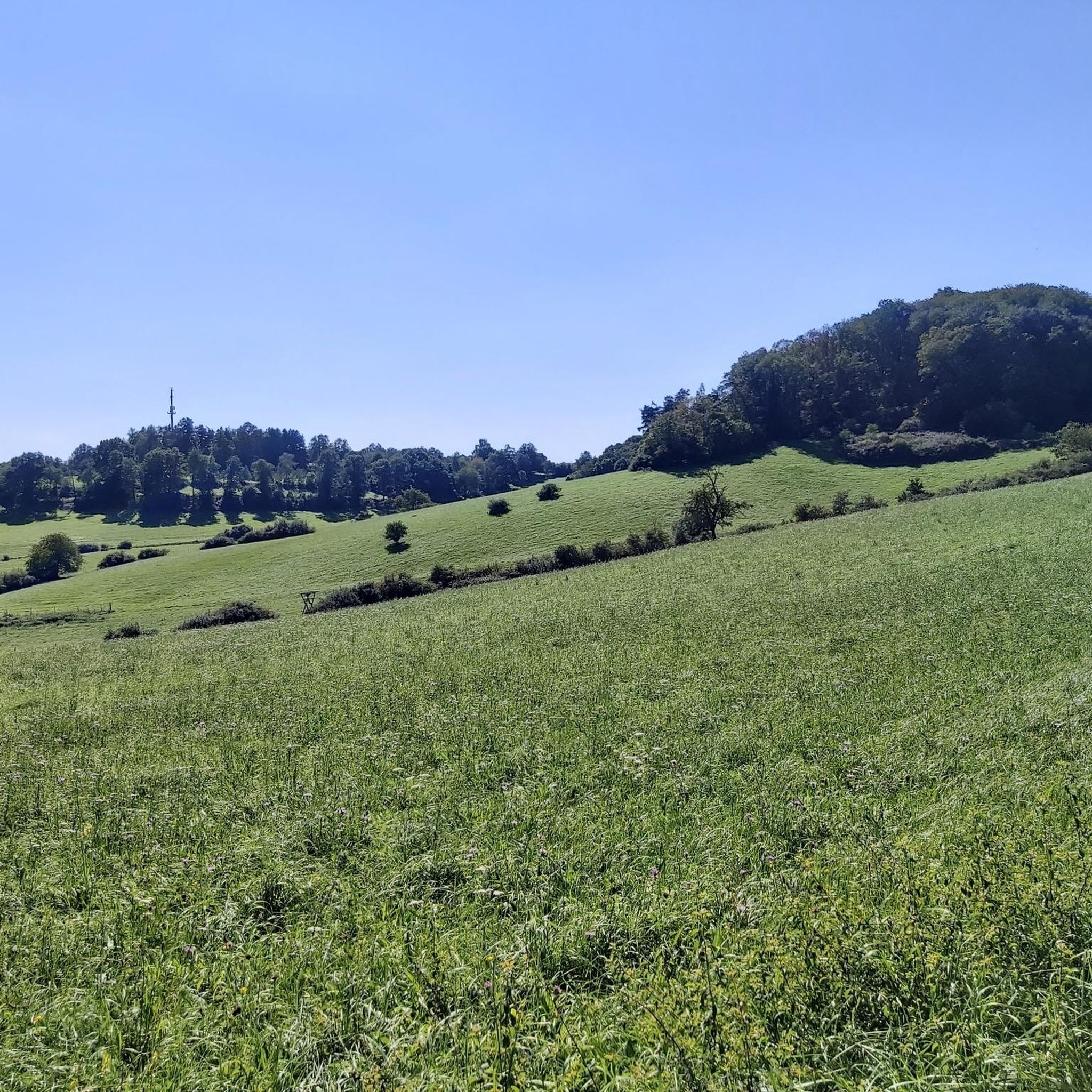
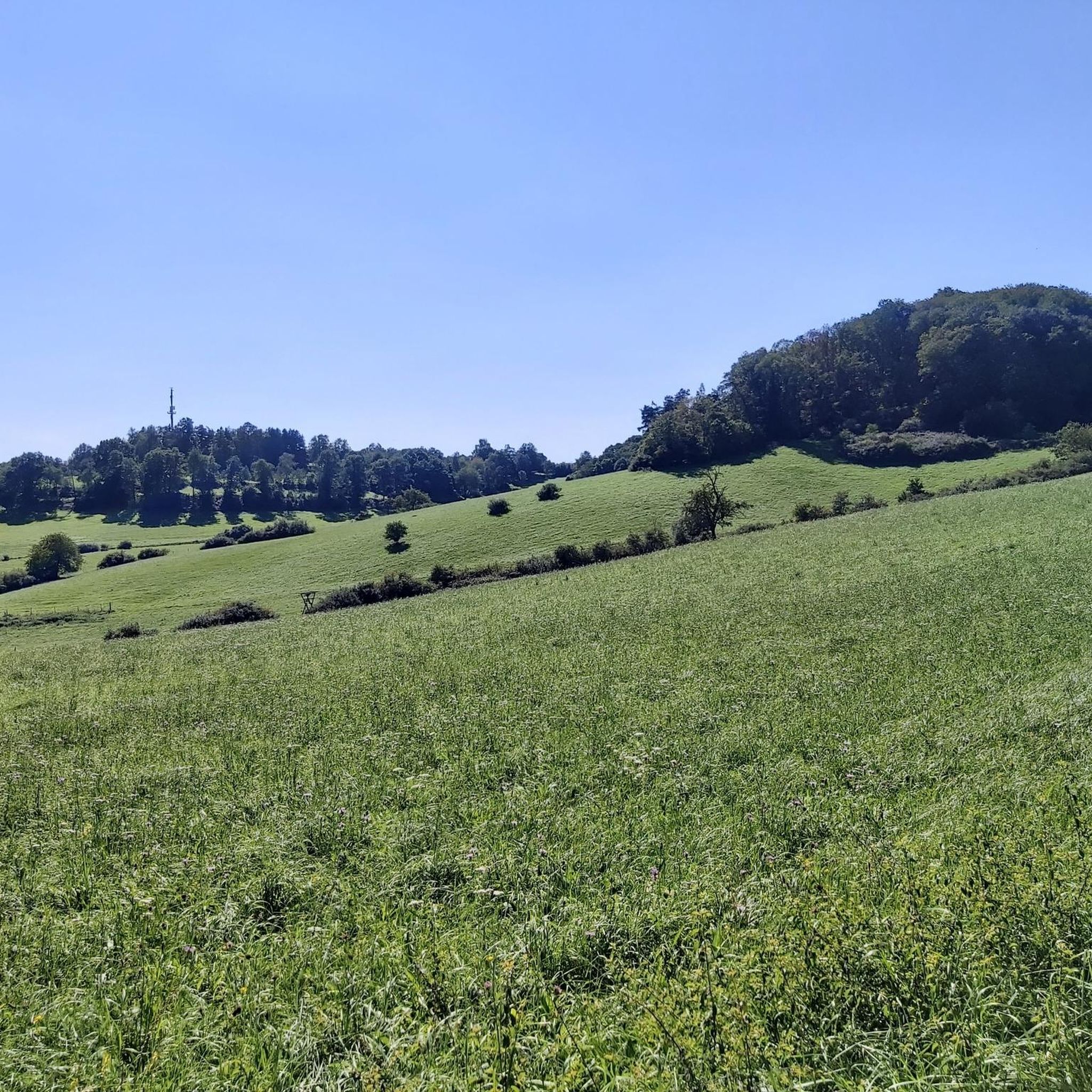
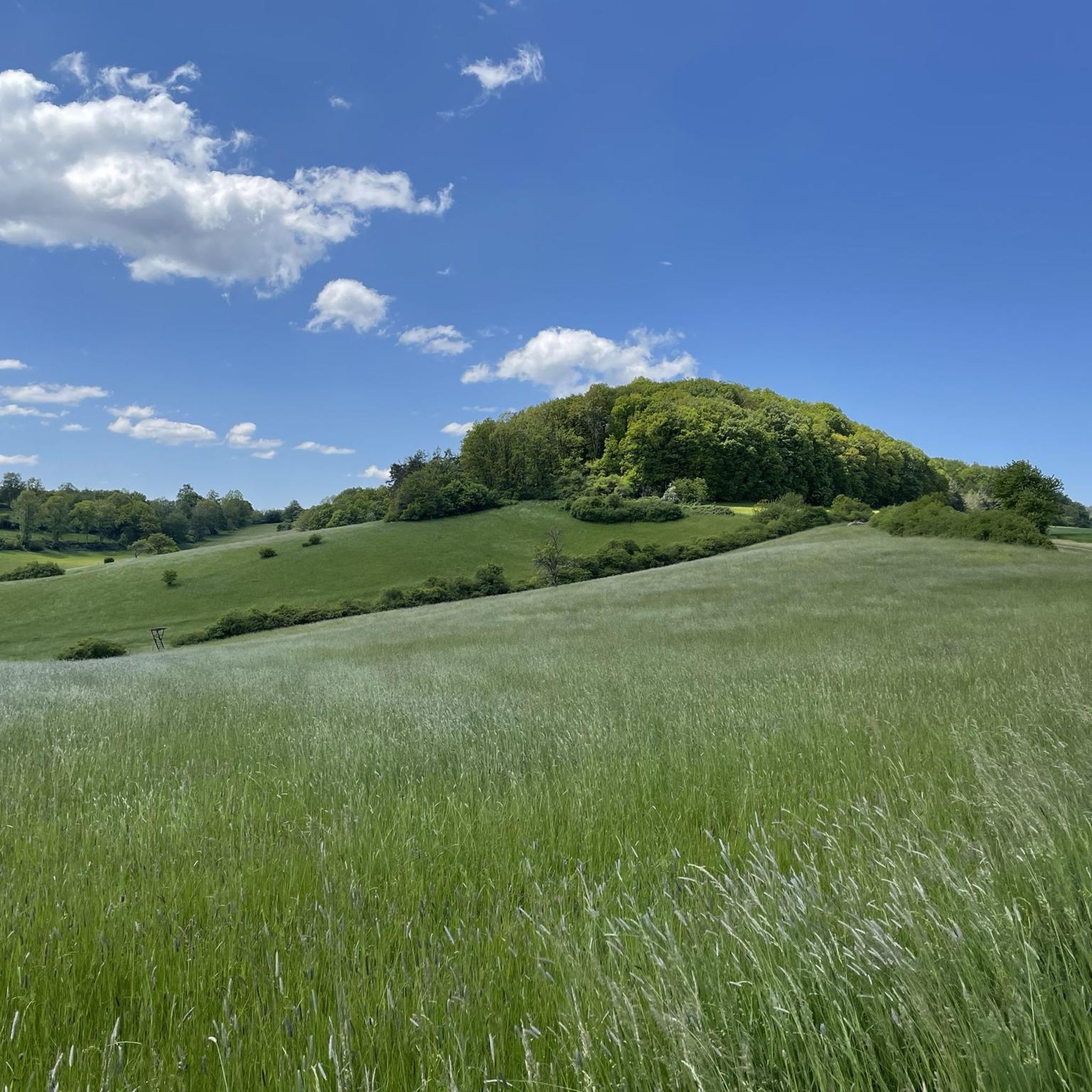
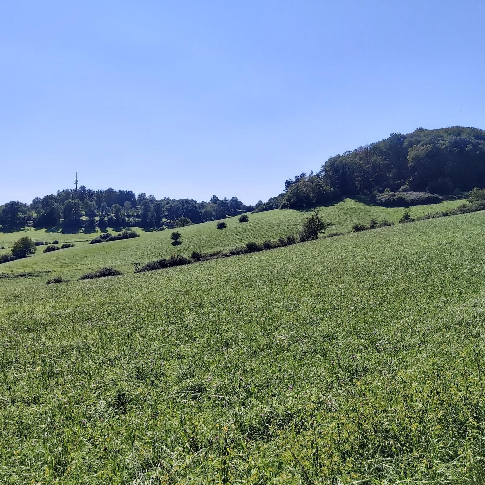
Touring cycling around Wartenberg-Rohrbach offers routes through the Nordpfälzer Bergland, characterized by rolling hills, lush forests, and expansive meadows. The region is situated within the Lohnsbachtal, with the Lohnsbach stream flowing through the area. Proximity to the Donnersberg, the highest mountain in the Palatinate, provides varied terrain. The well-maintained cycling paths integrate into this natural landscape.
Best touring cycling routes around Wartenberg-Rohrbach
- The most popular touring cycling route is Picnic Area at Schwarzweiher – Schwarzweiher loop from Wartenberg-Rohrbach, a…
Last updated: November 8, 2026
4.7
(7)
30
riders
Easy bike ride. Mostly paved surfaces.
4.0
(1)
11
riders
Easy bike ride. Mostly paved surfaces.

3.5
(2)
10
riders
30.9km
02:25
310m
310m
Moderate bike ride. Good fitness required. Mostly paved surfaces.
9
riders
12.4km
00:46
130m
130m
Easy bike ride. Mostly paved surfaces.
5.0
(1)
11
riders
Easy bike ride. Mostly paved surfaces.
Get access to more routes and recommendations from other explorers.
Already have an account?
Our route recommendations are based on thousands of hikes, rides, and runs completed by other people on komoot.
Start today with a free account
Your next adventure awaits.

Tips from the Community

Ideal for a photo motif
0
0
very good bike path
0
0
you can eat well
0
0

At the junction of the L 393 and the B 48 near Sembach stands the so-called Baudweiler Cross, a striking sandstone wayside cross with a rich history. The original stone cross dates from around 1500. The name commemorates the former, eponymous village of Baudweiler (also Bautweiler), a settlement that was likely completely destroyed and disappeared during the horrors of the Thirty Years' War. [1] (https://de.wikipedia.org/wiki/Baudweiler), [2] (https://www.suehnekreuz.de/rhein/texte/schnabel1983.html), [3] (https://www.suehnekreuz.de/rhein/sembach.htm)After the historical original cross had been moved from the meadows to a traffic island over the centuries and later destroyed by American tanks, a faithful replica was made in 1962. Directly next to the cross is a sandstone tablet showing the coat of arms of the Counts of Wartenberg. [1]Two well-known legends surround the origin of the cross in the region:The legend of the lost village: On the one hand, it is simply considered a lasting memorial cross for the vanished settlement of Baudweiler in local folklore. [1]The carriage tragedy: A more dramatic tale says that the Count of Wartenberg once raced down the steep Sembach slope with his carriage. Upon reaching the valley, the team got out of control and plunged with all its occupants into a pond (Woog) dammed up there at the time, in which all occupants drowned. [1] (https://www.suehnekreuz.de/geschichte4.html)Whether the Baudweiler Cross was originally erected as a classic penance cross for a crime or as a pure memorial and asylum cross has not been definitively clarified historically. Today, the newly erected monument is in any case an important cultural monument that keeps the regional history and myths of the Palatinate alive.
0
0
The Eiswoog (often also referred to as Eiswoogsee) is a picturesque reservoir of approximately 2.7 hectares in the northern Palatinate Forest, more precisely in the wooded Stumpfwald near the municipality of Ramsen. The body of water is fed by the Eisbach – regionally also affectionately called „die Eis“ – whose name historically derives from the region's rich iron ore deposits. Contrary to popular myths, the lake's name therefore has nothing to do with frozen water. Originally formed as a natural lake, in the Middle Ages, the nuns of the Ramosa monastery further dammed the stream as a fishpond. Later, in 1812, the famous ironworks owner Ludwig von Gienanth acquired the lake to secure the water power supply for his downstream ironworks and mills, even during dry periods. To this day, the body of water remains privately owned by the Gienanth entrepreneurial family. Nowadays, the Eiswoog has developed into one of the most popular natural and excursion destinations in West and Vorderpfalz. Directly on the historic dam lies the well-known hotel-restaurant [„Seehaus Forelle“](1.1.6, 1.4.4), which is appreciated for its regional fish specialties. Around the body of water runs a roughly three-kilometer-long, barrier-free nature trail with interactive stations and a wooden viewing platform that juts out flat into the lake. To protect the sensitive ecosystem and the local fish farming – the lake serves, among other things, as a habitat for the rare kingfisher – private swimming and boating are now strictly forbidden.
11
1

super delicious steamed buns with vanilla or wine sauce
0
0
Frequently Asked Questions
How many touring cycling routes are available around Wartenberg-Rohrbach?
There are over 470 touring cycling routes around Wartenberg-Rohrbach, offering a wide range of options for different skill levels and preferences. This includes approximately 150 easy routes, 240 moderate routes, and 80 more difficult trails.
What kind of terrain can I expect on touring cycling routes in Wartenberg-Rohrbach?
The region around Wartenberg-Rohrbach is characterized by rolling hills, lush forests, and expansive meadows within the Nordpfälzer Bergland. You'll find routes traversing the scenic Lohnsbachtal valley, with some offering views towards the Donnersberg, the highest mountain in the Palatinate, which can introduce more varied terrain and elevation.
Are there easy touring cycling routes suitable for beginners or families in Wartenberg-Rohrbach?
Yes, Wartenberg-Rohrbach offers numerous easy touring cycling routes perfect for beginners or families. An example is the Baudweiler Cross – Stork's Nest loop from Sembach, an easy 7.2-mile (11.5 km) path that can be completed in about 42 minutes, traversing varied local scenery. Another easy option is the Football Golf Sembach loop from Wartenberg-Rohrbach.
Are there more challenging touring cycling routes for experienced cyclists?
While many routes are moderate, the proximity to the Donnersberg means some routes will offer more elevation gain and challenge. For a moderate option, consider the View of Donnersberg – Palatinate Cycle Path loop from Wartenberg-Rohrbach, a 23.0-mile (37.0 km) trail with over 400 meters of elevation gain, offering views of the Donnersberg.
What natural features or landmarks can I see along the touring cycling routes in Wartenberg-Rohrbach?
Cyclists can enjoy a variety of natural and historical sights. You might encounter the picturesque Eiswoog lake, or the unique Mehlinger Heath, especially beautiful when in bloom. The region also features several viewpoints like the Viewing platform on "Höhe 325", offering panoramic vistas of the Palatinate.
Are there any historical sites or cultural attractions accessible by bike?
Yes, the area is rich in history. You can cycle to the Ruins of Falkenstein Castle, which offers great views and often has refreshments nearby. The Burgruine Wartenberg, perched above the village, also provides magnificent views over the Pfälzer Bergland. The Protestant Church in Rohrbach, a 12th-century structure, is accessible via a protected linden alley, making for a pleasant detour.
Are there circular touring cycling routes available in Wartenberg-Rohrbach?
Many of the touring cycling routes in Wartenberg-Rohrbach are designed as loops, allowing you to start and end at the same point. Examples include the View of Donnersberg – Palatinate Cycle Path loop from Wartenberg-Rohrbach and the Baudweiler Cross – Stork's Nest loop from Sembach, providing convenient options for exploring the area.
When is the best time of year to go touring cycling in Wartenberg-Rohrbach?
The spring, summer, and early autumn months generally offer the most pleasant conditions for touring cycling in Wartenberg-Rohrbach. The Mehlinger Heath is particularly beautiful in late July to early August when it blooms. The rolling hills and forests provide a scenic backdrop throughout these seasons, with comfortable temperatures for cycling.
Is it possible to bring my dog on touring cycling routes in Wartenberg-Rohrbach?
Many natural areas and paths in Wartenberg-Rohrbach are dog-friendly, especially if your dog is accustomed to cycling alongside you or in a trailer. Always ensure your dog is on a leash where required and be mindful of other trail users and local wildlife. It's advisable to check specific route regulations if you plan to enter nature reserves.
Where can I find parking for touring cycling routes in Wartenberg-Rohrbach?
Parking is generally available in and around Wartenberg-Rohrbach, particularly near trailheads or village centers. Many routes, being loops, often start from accessible points where parking facilities are provided. Look for designated parking areas in the villages or near popular attractions like the Burgruine Wartenberg.
How can I access the touring cycling routes in Wartenberg-Rohrbach using public transport?
Wartenberg-Rohrbach is situated in the Donnersbergkreis, which has regional bus services that connect to nearby train stations. You can plan your journey to reach the starting points of various cycling routes. It's recommended to check local public transport schedules and policies regarding bicycle carriage in advance, as this can vary.
Are there places to stop for refreshments or a break along the routes?
Yes, the region offers several opportunities for breaks and refreshments. The View of Eiswoog from above – Eiswoog Lake Picnic Area loop from Sembach, for instance, leads to the Eiswoog Lake Picnic Area. The Kupferberg Hut is another spot that offers great views and benches, inviting visitors to linger and enjoy the scenery. You'll also find cafes and pubs in the villages along many routes.
What do other touring cyclists say about the routes in Wartenberg-Rohrbach?
The touring cycling routes around Wartenberg-Rohrbach are highly rated by the komoot community, with an average score of 4.6 stars from over 2,100 reviews. Cyclists often praise the well-maintained paths, the tranquil, nature-oriented atmosphere, and the varied scenery, from rolling hills to lush forests and the Lohnsbachtal valley.
Most popular routes around Wartenberg-Rohrbach
Most popular attractions around Wartenberg-Rohrbach

Get inspired with the komoot mobile app


Explore more
Browse the best Cycling routes in other regions.
