The best mountain hikes around Wetter (Ruhr)
4.6
(6)
12
hikers
5
hikes
Mountaineering routes around Wetter (Ruhr) traverse a landscape characterized by the Ruhr river valley, wooded hills, and several reservoirs. The region offers a mix of natural beauty and historical industrial heritage, providing varied terrain for outdoor activities. Elevations are generally moderate, with routes often following riverbanks, passing through nature reserves, and ascending to viewpoints. The area's topography makes it suitable for a range of mountaineering experiences.
Best mountaineering routes around Wetter (Ruhr)
- The most popular mountaineering route is Miners’ Prayer…
Last updated: November 6, 2026
5.0
(1)
2
hikers
7.23km
02:00
130m
130m
Easy mountaineering route. Easily walkable paths.
5.0
(2)
3
hikers
Hard mountaineering route. Very good fitness required. Mostly walkable paths. Sure-footedness required.

3.0
(1)
3
hikers
14.0km
03:56
280m
280m
Moderate mountaineering route. Good fitness required. Easily walkable paths.
1
hikers
Moderate mountaineering route. Good fitness required. Easily walkable paths.
5.0
(1)
2
hikers
Easy mountaineering route. Easily walkable paths.
Our route recommendations are based on thousands of hikes, rides, and runs completed by other people on komoot.
Start today with a free account
Your next adventure awaits.
Popular around Wetter (Ruhr)
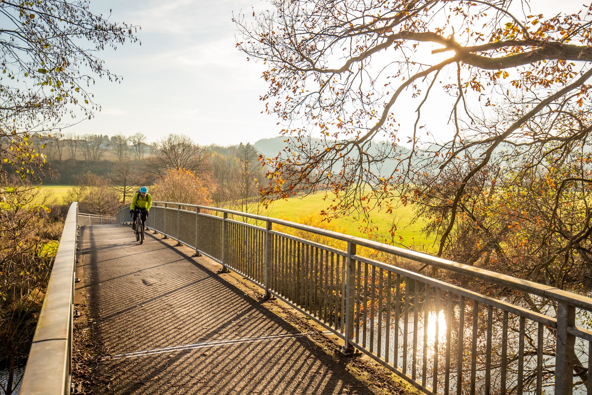
Ruhr Valley Gravel – rediscover the Ruhr Area in Germany
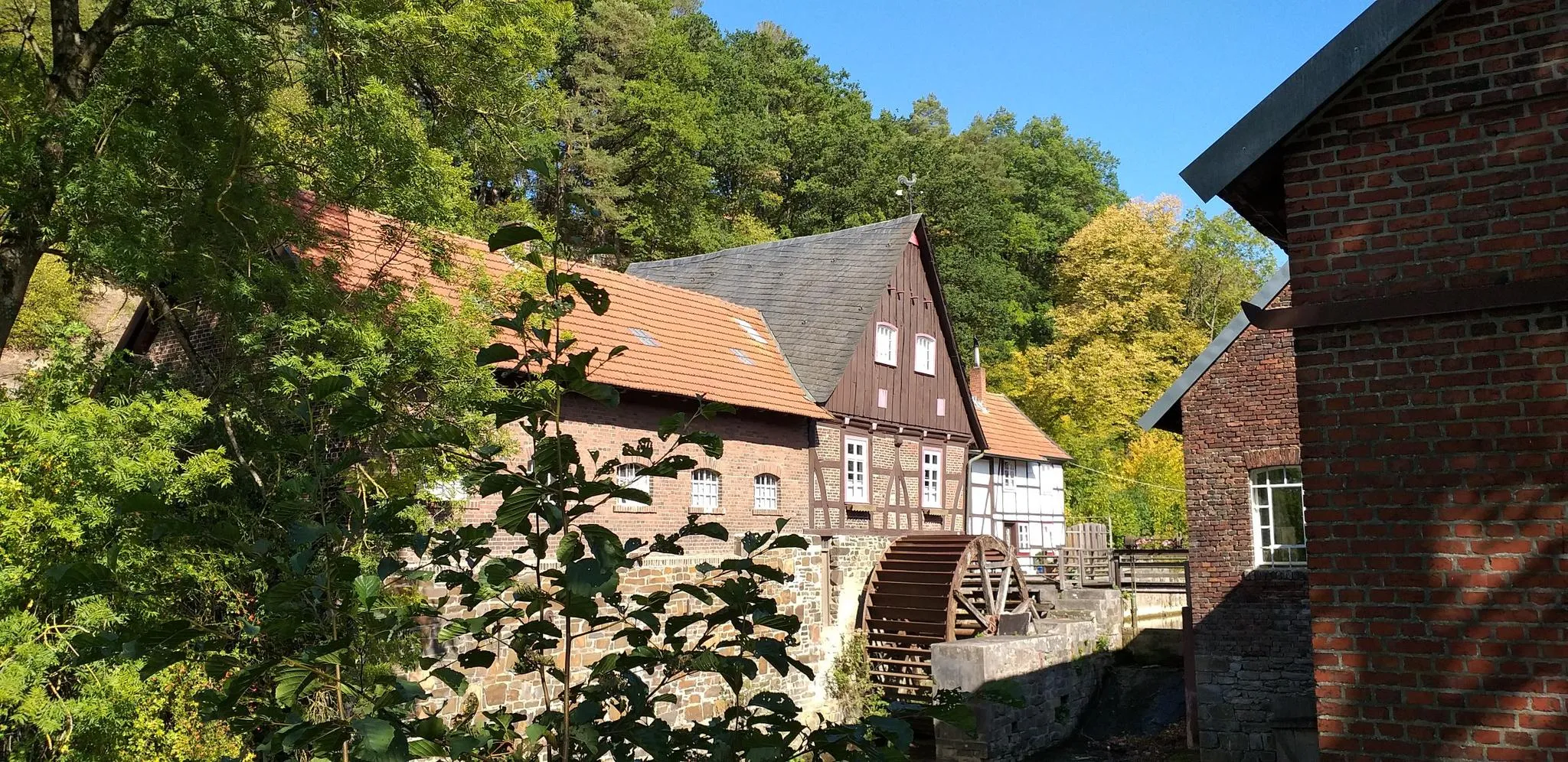
Hike through history in Germany’s Ruhr area – WestfalenWanderWeg
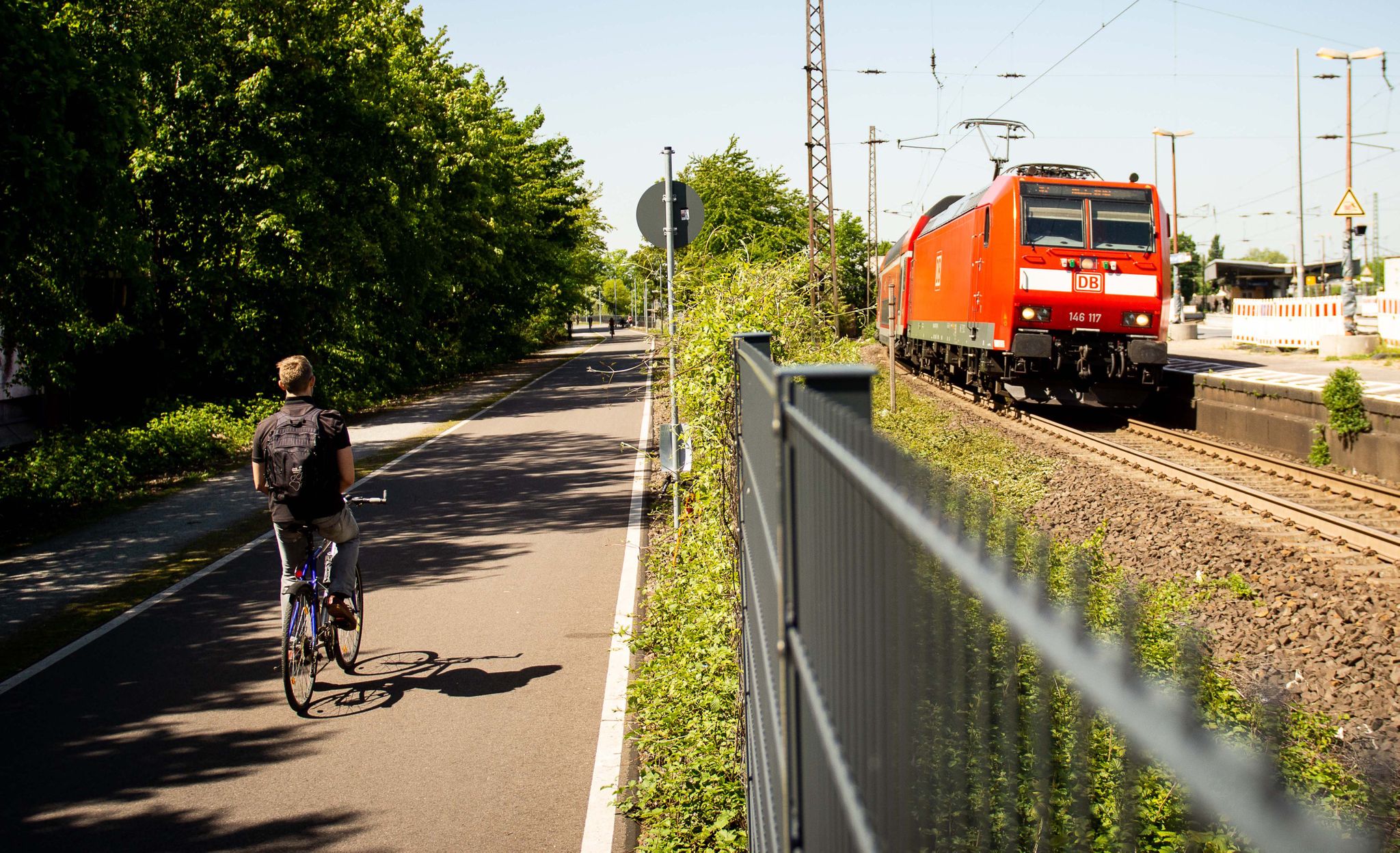
Cycle the most beautiful railway tracks – Germany’s Ruhr area (west and south)
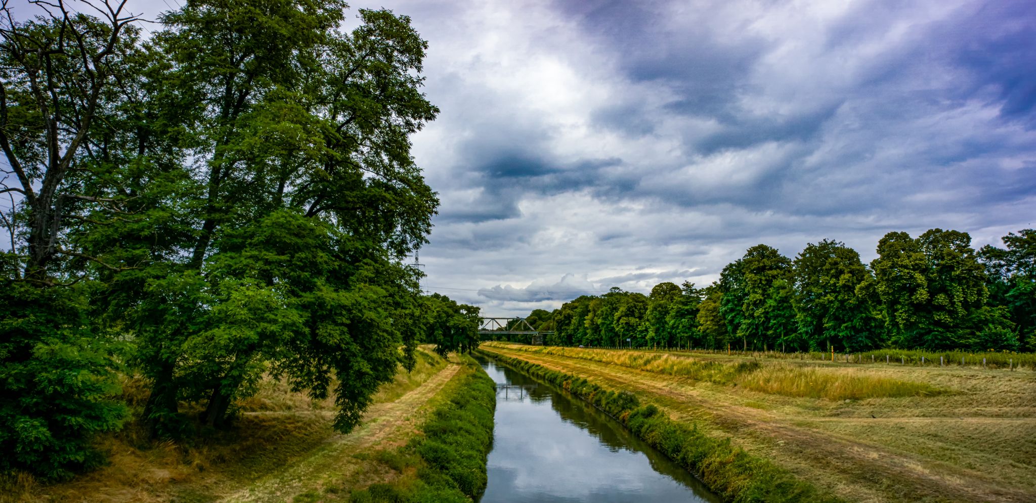
7 extraordinary overnight adventures in the Ruhr area
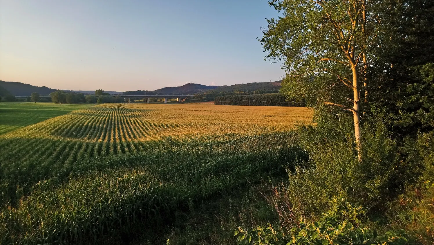
Mit Rosbacher auf Tour in Westfalen
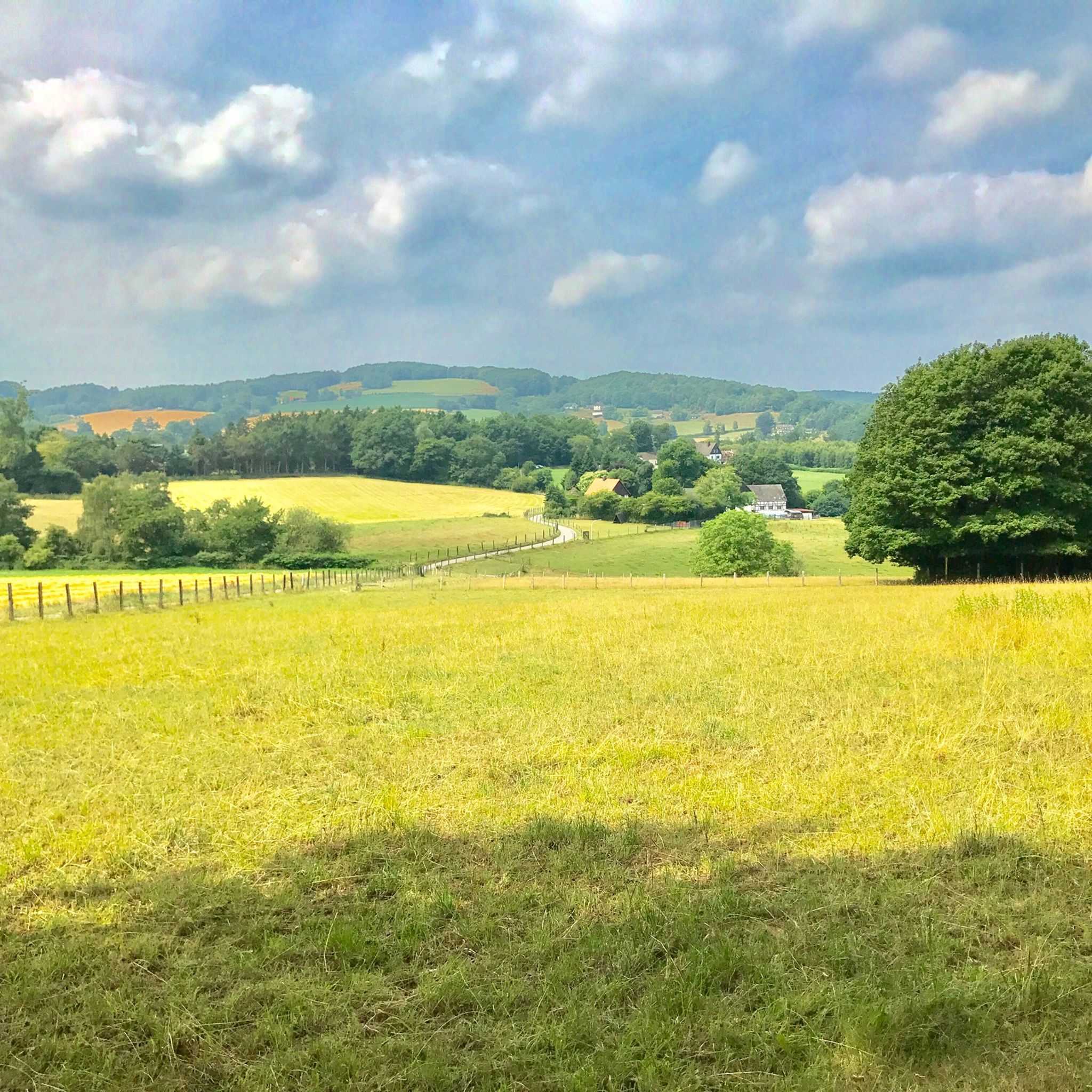
Hiking around Wetter (Ruhr)
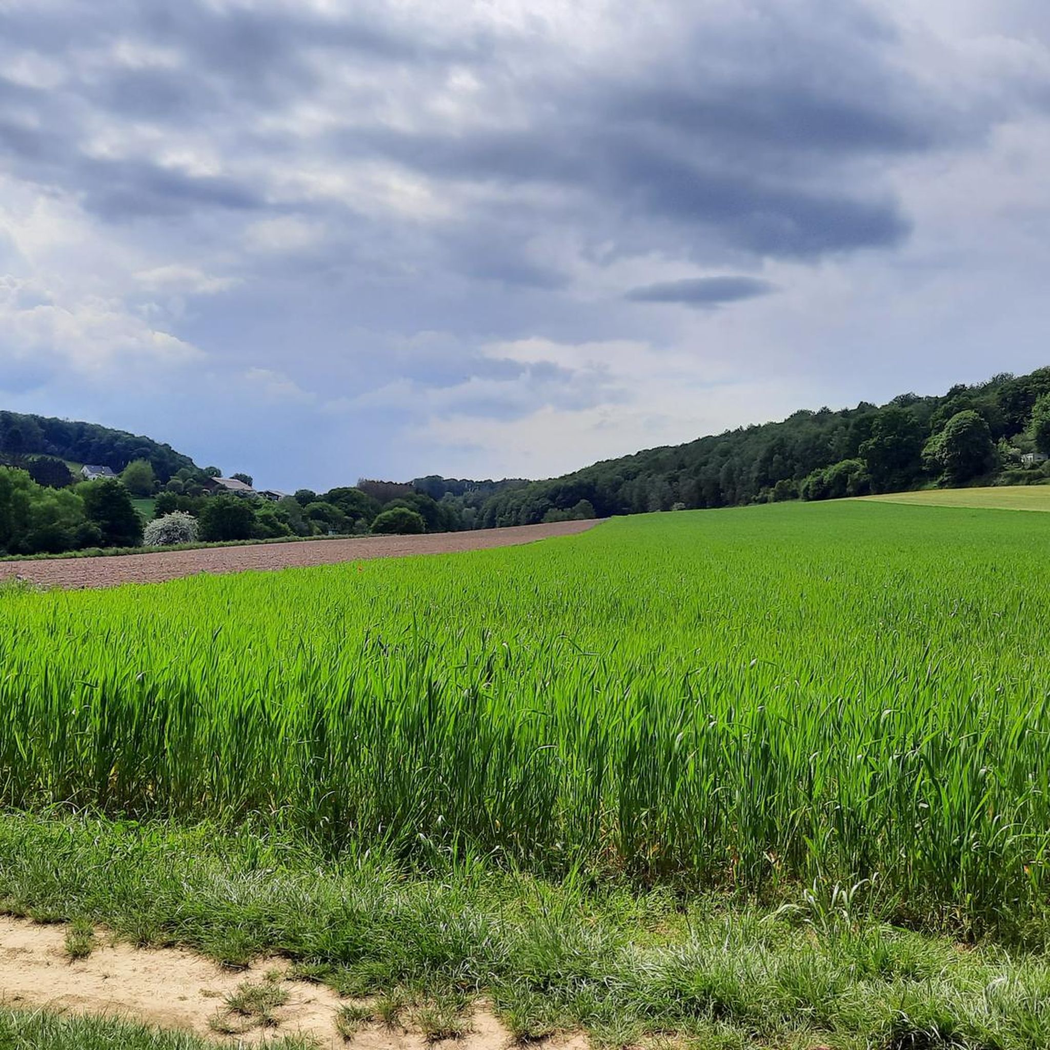
Cycling around Wetter (Ruhr)
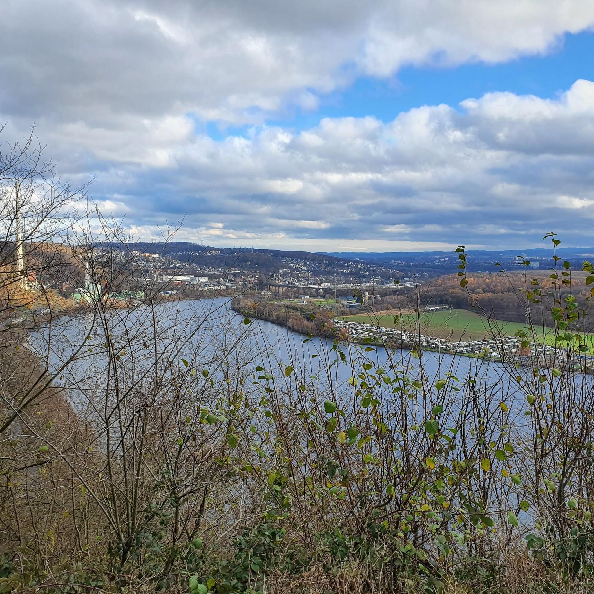
Running Trails around Wetter (Ruhr)
MTB Trails around Wetter (Ruhr)
Road Cycling Routes around Wetter (Ruhr)
Other adventures around Wetter (Ruhr)


Tips from the Community

Located in the Lottetal valley with a few information boards about the ancient history of the Kohlenplatz.
1
0

There is also a good parking lot here for the hike through the Muttental. The memorial stone for the fallen miners is also nearby.
0
0
Unfortunately, the access is completely overgrown and a staircase overgrown with brambles leads to the memorial stone in the forest.
1
0

Stone tower at the Külpm quarry
0
0

Opposite the entrance, there are lockers, and each locker has a power outlet. The keys for the lockers can be obtained at the checkout for a deposit of €10. Therefore, please note the opening hours!
0
0

The Turteltaube mine was a tunnel mine in Bommern in the Muttental valley. The mine belonged to the Herbede district. The mine consisted of two wings, each with a separate tunnel, in the Nachtigallmulde valley and was in operation until the mid-19th century.
0
0

If you turn around you see the RUB
0
0

beautiful route on the Höhenweg around the university and along the Ruhr
0
0
Frequently Asked Questions
How many mountaineering routes are available in Wetter (Ruhr)?
There are 5 mountaineering routes detailed in this guide for Wetter (Ruhr), offering a range of experiences from easy to difficult.
Are there easy mountaineering routes suitable for beginners or families in Wetter (Ruhr)?
Yes, for those seeking an easier experience, the Hasper Dam – View of the Hasper Reservoir loop from Hasper Bachtal is an excellent choice. This easy 3.1-mile (5.0 km) route offers gentle terrain and scenic views, making it suitable for beginners or a relaxed family outing.
What options are there for more challenging or longer mountaineering routes in the region?
For experienced mountaineers looking for a challenge, the Hagen Bismarck Tower – Kaiser Friedrich Tower loop from Waldbauer / Zurstraße is a difficult 14.6-mile (23.4 km) path with significant elevation gain, offering panoramic views from its towers.
Are there any circular mountaineering routes in Wetter (Ruhr)?
Yes, all the routes featured in this guide are circular. For example, you can explore the Miners’ Prayer House, Witten – Hardenstein Castle Ruins loop from Hardenstein, which is a moderate 4.5-mile (7.3 km) trail.
What kind of landscapes can I expect on mountaineering routes around Wetter (Ruhr)?
Mountaineering routes in Wetter (Ruhr) traverse a diverse landscape characterized by the Ruhr river valley, wooded hills, and several reservoirs. You'll encounter a blend of natural beauty and historical industrial heritage, with moderate elevations and varied terrain.
What interesting landmarks or attractions can I see along the mountaineering routes?
Many routes offer historical and natural points of interest. You might encounter sites like the Hagen Bismarck Tower or the Kaiser Friedrich Tower, which provide excellent viewpoints. The region also features natural highlights such as the Ruhr weir and towpath in Hattingen.
Are there routes that pass through nature reserves?
Yes, the Elbschebach Nature Reserve – Moses Göpel Shaft loop from Hardenstein is an 8.7-mile (14.0 km) trail that leads directly through a nature reserve, offering a chance to experience the local flora and fauna, alongside historical mining sites.
What do other mountaineers enjoy most about the routes in Wetter (Ruhr)?
The routes in Wetter (Ruhr) are highly rated by the komoot community, with an average score of 4.6 stars. Mountaineers often praise the blend of natural scenery, such as river views and wooded hills, with the historical industrial heritage, providing a unique and varied outdoor experience.
Are there any routes near large bodies of water, like lakes or reservoirs?
Absolutely. The region is known for its reservoirs. You can enjoy routes like the View of Kemnader See – Heveney Harbor loop from Brenscheder Straße, which offers scenic views of the Kemnader See.
When is the best time of year for mountaineering in Wetter (Ruhr)?
The moderate elevations and varied terrain of Wetter (Ruhr) make it suitable for mountaineering throughout much of the year. Spring and autumn offer pleasant temperatures and beautiful scenery, while summer is ideal for longer days. Even in winter, many trails are accessible, though conditions may require appropriate gear.
Are there any routes that highlight the region's industrial history?
Yes, the area is rich in industrial heritage. Routes like the Miners’ Prayer House, Witten – Hardenstein Castle Ruins loop from Hardenstein explore historical sites, while the Elbschebach Nature Reserve – Moses Göpel Shaft loop from Hardenstein passes by historical mining sites, offering a glimpse into the region's past.
Most popular routes around Wetter (Ruhr)
Most popular attractions around Wetter (Ruhr)

Get inspired with the komoot mobile app


Explore more
Browse the best Mountain Hikes & Routes in other regions.
