The best running trails around Pont-De-Montvert-Sud-Mont-Lozère
4.5
(5)
340
runners
41
runs
Jogging routes around Pont-De-Montvert-Sud-Mont-Lozère are set within the Cévennes National Park, at the base of Mont Lozère. This region is characterized by mountainous terrain, high-altitude pastures, and deep valleys carved by rivers like the Tarn. Runners will encounter diverse landscapes, including granite formations and verdant slopes, offering a preserved natural environment for outdoor activities. The area provides a mix of forest paths, mountain trails, and riverbanks suitable for various running experiences.
Best jogging routes around Pont-De-Montvert-Sud-Mont-Lozère
- The most popular jogging…
Last updated: July 20, 2026
6
runners
11.7km
01:51
480m
470m
Hard run. Very good fitness required. Sure-footedness, sturdy shoes and alpine experience required.
33
runners
26.4km
03:32
910m
910m
Hard run. Very good fitness required. Sure-footedness, sturdy shoes and alpine experience required.

Sign up for free
24
runners
15.5km
02:01
510m
510m
Hard run. Very good fitness required. Mostly accessible paths. Some sure footedness required.
14
runners
Hard run. Very good fitness required. Mostly paved surfaces. Suitable for all skill levels.
17
runners
17.2km
01:52
180m
180m
Hard run. Very good fitness required. Mostly paved surfaces. Suitable for all skill levels.
Get access to more routes and recommendations from other explorers.
Sign up for free
Already have an account?
Our route recommendations are based on thousands of hikes, rides, and runs completed by other people on komoot.
Start today with a free account
Your next adventure awaits.
Login or Signup
Popular around Pont-De-Montvert-Sud-Mont-Lozère

The Grande traversée du Massif Central by gravel bike

Hexatrek – The Cévennes to the Pyrenees between gorges and limestone plateau
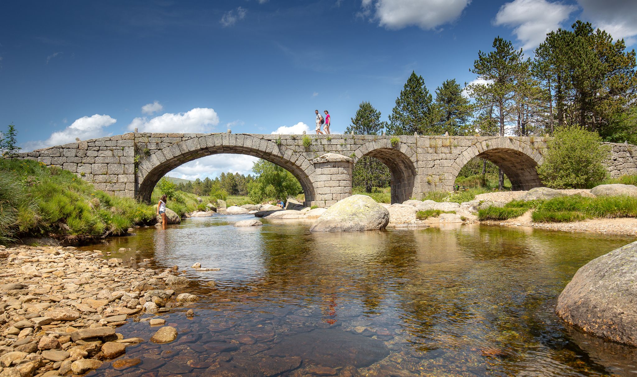
The most beautiful walks in Lozère
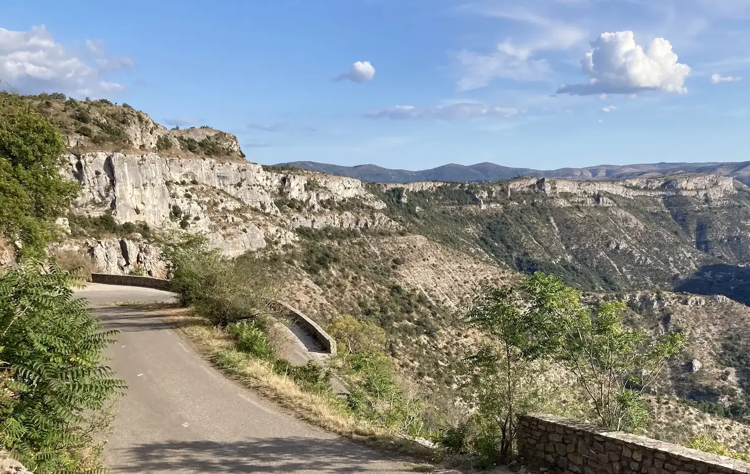
From north to south - On the slopes of the GTMC
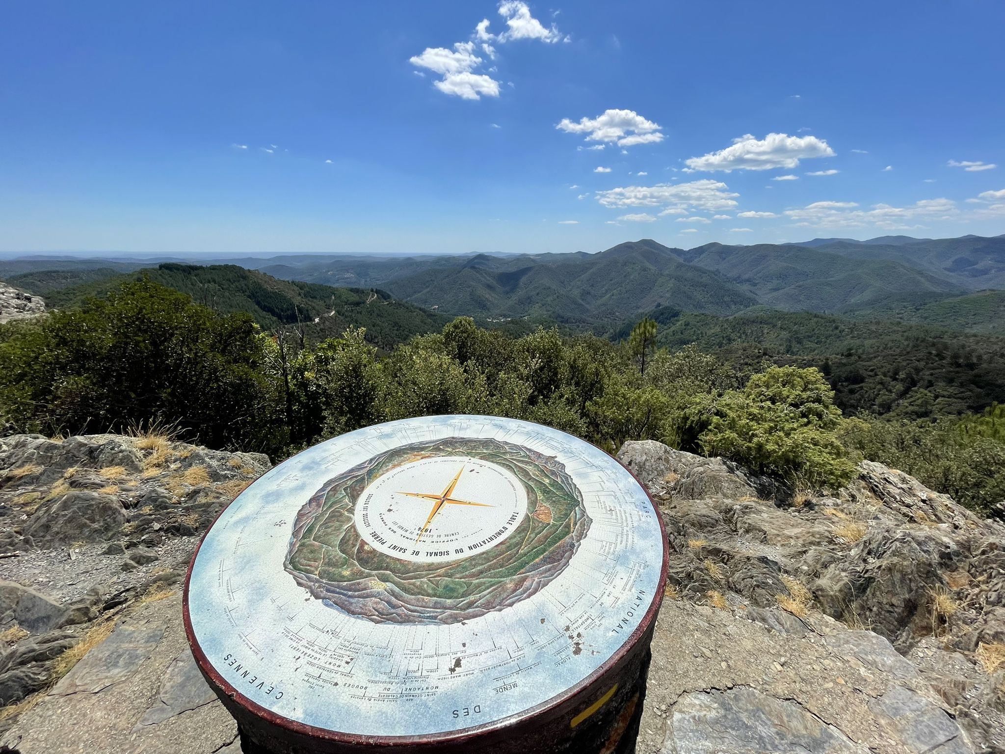
Hike through the Cévennes valleys in France – Chemin Camisard
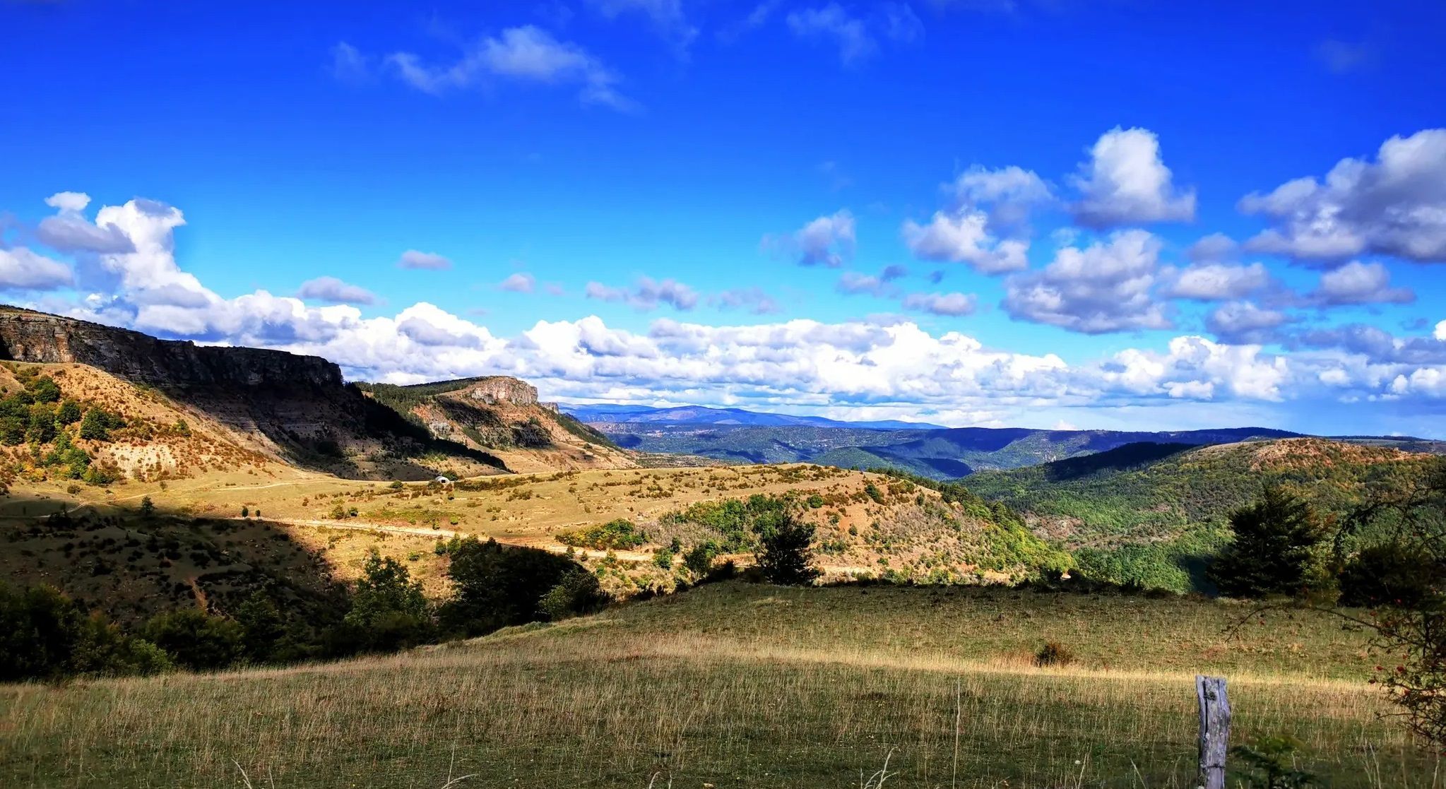
Crossing the Cévennes – a mountain bike trip in the heart of nature
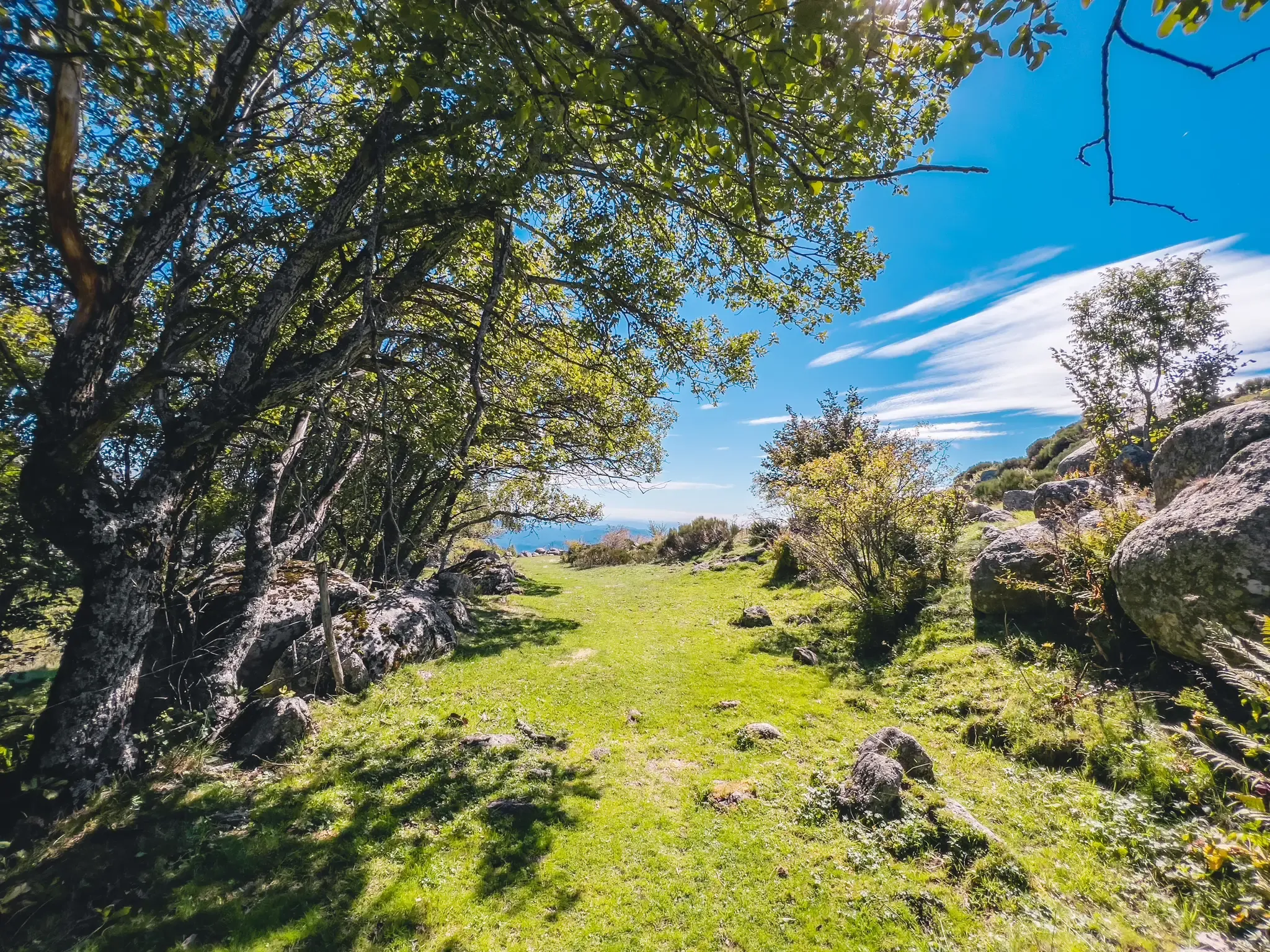
UNESCO landscapes and unique biodiversity – around Mont Lozère
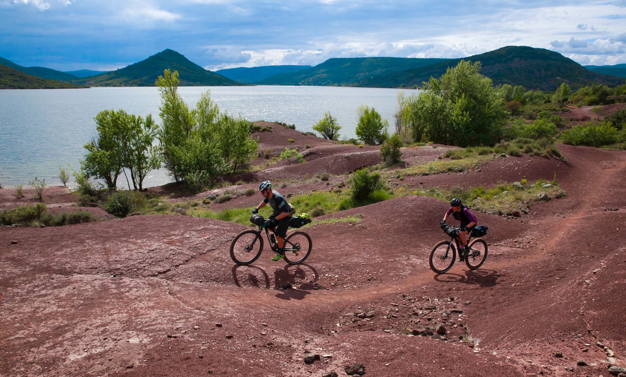
The Great Crossing of France's Massif Central by mountain bike
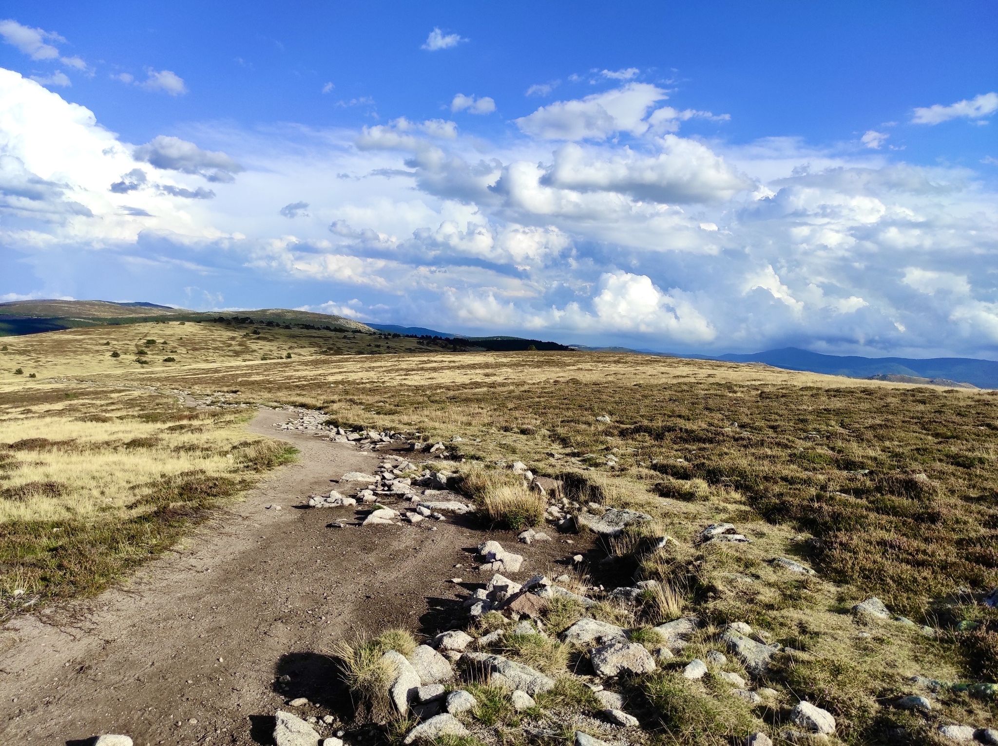
In the footsteps of Modestine — the Stevenson Trail (GR 70)
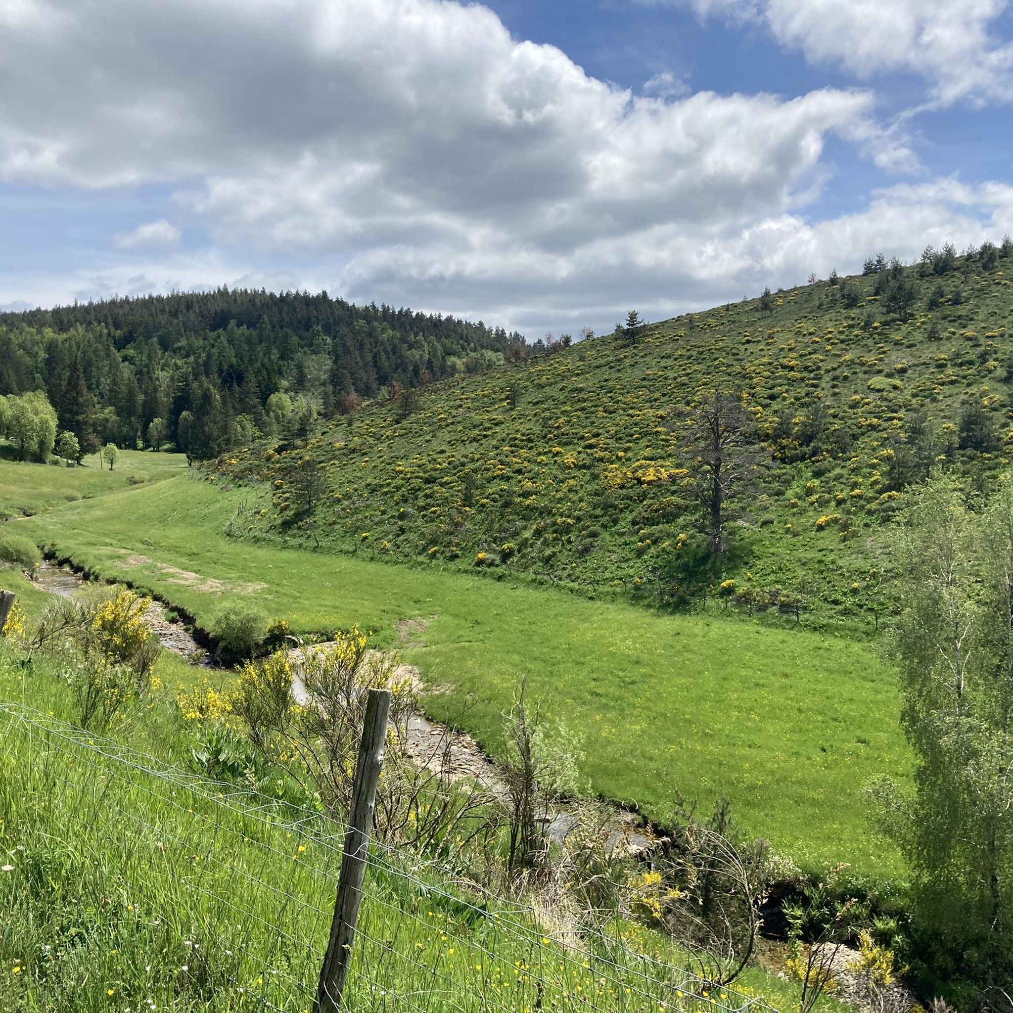
Hiking around Pont-De-Montvert-Sud-Mont-Lozère
Other adventures around Pont-De-Montvert-Sud-Mont-Lozère


Tips from the Community

Great starting point for hikes: Pic Cassini, Pont du Tarn… The cottages are very pleasant.
0
0


Wonderful old bridge over the Tarn. You then peacefully follow the Tarn.
0
0

Beautiful village, located on the Tharn. Possible stop on the Stevenson Trail and the GR7
5
0

[09/2024] The picnic table is no longer in the cabin. A tent is inside the cabin (for hikers who can find shelter?)
0
0

bridge over the Tarn ideal for a break / picnic
0
0

Frequently Asked Questions
How many running routes can I find in Pont-De-Montvert-Sud-Mont-Lozère?
Pont-De-Montvert-Sud-Mont-Lozère offers a vast network of trails, with over 40 dedicated running routes available on komoot. The wider region, nestled in the Cévennes National Park, boasts more than 130 hikes and walks, including 20 marked trail circuits specifically designed for runners.
What kind of terrain and landscapes can I expect on the running trails?
You'll experience a diverse range of breathtaking landscapes. Routes often feature mountainous terrain, high-altitude pastures, and deep valleys carved by rivers like the Tarn. Expect a mix of forest paths, mountain trails, riverbanks, and open granite formations, all within the preserved natural environment of the Cévennes National Park.
Are there running routes suitable for beginners or those looking for an easier jog?
While many routes in the area are moderate to difficult, the region does offer paths suitable for varying fitness levels. Look for trails described as 'easy' or those with less than 300m elevation gain and under 2 hours duration, which are generally more accessible for beginners or a relaxed jog.
Can I find circular running routes in the area?
Yes, many of the running routes in Pont-De-Montvert-Sud-Mont-Lozère are circular, allowing you to start and finish at the same point. Popular options include the Les montjoies - Mont Lozère – Finiels Summit loop from Le Pré du Moulin and the Finiels loop from Fraissinet-de-Lozère, offering varied distances and challenges.
Are there any waterfalls or natural swimming spots along the running trails?
Absolutely! The region is known for its natural water features. The Tarn river, which originates on Mont Lozère, forms natural swimming pools in several spots. Additionally, the impressive Cascade de Runes, with its 70-meter drop, is a notable natural attraction on the foothills of Mont Lozère, offering a scenic point of interest for runners.
What are some interesting landmarks or attractions I might see while running?
Beyond the stunning natural beauty, you can encounter historical and natural landmarks. The region features dramatic granite formations and offers views of the Cévennes and Tarn valley. You might also pass by historical sites like the Tournel Castle or the Château de Verfeuil. For a unique experience, consider trails that incorporate the historical Chemin des Camisards.
Are there any huts or shelters available along the routes for a break?
Yes, the area provides several options for shelter. You might find the Mont Lozère Forest Shelter, Le Mas de la Barque, or the Bonnal Cabin along various routes. These can be useful for a rest or in case of unexpected weather.
What do other runners enjoy most about jogging in Pont-De-Montvert-Sud-Mont-Lozère?
The running routes in Pont-De-Montvert-Sud-Mont-Lozère are highly rated by the komoot community, with an average score of 4.3 stars. Runners frequently praise the breathtaking landscapes, magnificent panoramas of the Cévennes and Mont Lozère, and the diverse terrains that make each run a unique experience.
Are the running trails in Pont-De-Montvert-Sud-Mont-Lozère dog-friendly?
Many trails within the Cévennes National Park are accessible for dogs, but it's always recommended to keep them on a leash to protect local wildlife and livestock. Check specific route details on komoot for any restrictions or recommendations regarding pets.
What is the best time of year to go running in this region?
Pont-De-Montvert-Sud-Mont-Lozère offers excellent running conditions for much of the year. Spring and autumn provide pleasant temperatures and vibrant scenery. Summer is also popular, especially for trails that offer access to natural swimming spots in the Tarn. Winter running is possible, particularly on lower elevation trails, but higher mountain routes may require appropriate gear for snow and ice.
Are there any challenging running routes for experienced trail runners?
Absolutely. The region is a paradise for trail enthusiasts, offering numerous challenging routes. For example, the Finiels and Pont du Tarn Trail is a difficult 11.7 km route with significant elevation gain, and the Les montjoies - Mont Lozère – Finiels Summit loop from Le Pré du Moulin is a demanding 27.8 km path ascending Mont Lozère itself.
Is it possible to access the running routes using public transport, or is parking available?
While specific public transport options to trailheads might be limited, many routes are accessible from Pont-De-Montvert-Sud-Mont-Lozère village, where parking is generally available. For routes starting further afield, it's advisable to check local transport schedules or plan for car access. Komoot route details often provide information on starting points and accessibility.
Most popular routes around Pont-De-Montvert-Sud-Mont-Lozère
Most popular attractions around Pont-De-Montvert-Sud-Mont-Lozère

Get inspired with the komoot mobile app


Explore more
Browse the best Running Trails & Routes in other regions.
