The best walks and hikes around Pont-De-Montvert-Sud-Mont-Lozère
4.7
(600)
3,978
hikers
133
hikes
Hiking around Pont-De-Montvert-Sud-Mont-Lozère offers access to the diverse landscapes of the Cévennes National Park, situated on the southern slopes of Mont Lozère. This granite massif features high-altitude pastures and distinctive rock formations, with the Tarn River originating within the territory and flowing through the village. The region also includes the Cham des Bondons, a limestone plateau known for its ancient menhirs.
Best hiking trails around Pont-De-Montvert-Sud-Mont-Lozère
- The most popular hiking route is Pic Cassini and the sources of the Tarn…
Last updated: July 20, 2026
4.8
(21)
151
hikers
Hard hike. Very good fitness required. Mostly accessible paths. Sure-footedness required.
4.7
(39)
123
hikers
8.68km
02:33
240m
240m
Hike the moderate 5.4-mile La cham de l'Hermet loop from Pont-de-Montvert for panoramic views of the Tarn valley and Mont Lozère.

Sign up for free
4.7
(25)
107
hikers
11.7km
04:20
480m
470m
Hike the difficult 7.2-mile Sommet de Finiels et Pelouse Trail for panoramic views from Lozère's highest point in Cévennes National Park.
4.8
(14)
98
hikers
9.24km
02:50
250m
250m
Moderate hike. Good fitness required. Mostly accessible paths. Sure-footedness required.
4.8
(9)
41
hikers
16.3km
04:45
440m
440m
Hike the moderate Pont du Tarn Loop in Cévennes National Park, covering 10.1 miles with river views and panoramic mountain scenery.
Get access to more routes and recommendations from other explorers.
Sign up for free
Already have an account?
Our route recommendations are based on thousands of hikes, rides, and runs completed by other people on komoot.
Start today with a free account
Your next adventure awaits.
Login or Signup
Popular around Pont-De-Montvert-Sud-Mont-Lozère

Hexatrek – The Cévennes to the Pyrenees between gorges and limestone plateau
The most beautiful walks in Lozère
Hike through the Cévennes valleys in France – Chemin Camisard
UNESCO landscapes and unique biodiversity – around Mont Lozère
In the footsteps of Modestine — the Stevenson Trail (GR 70)

The Grande traversée du Massif Central by gravel bike
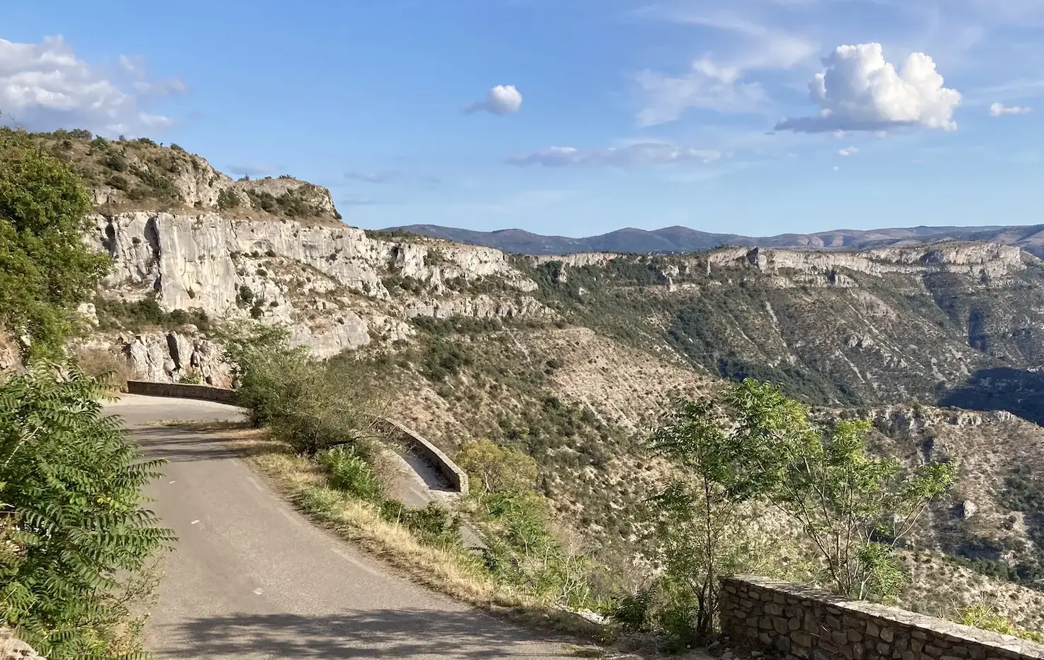
From north to south - On the slopes of the GTMC
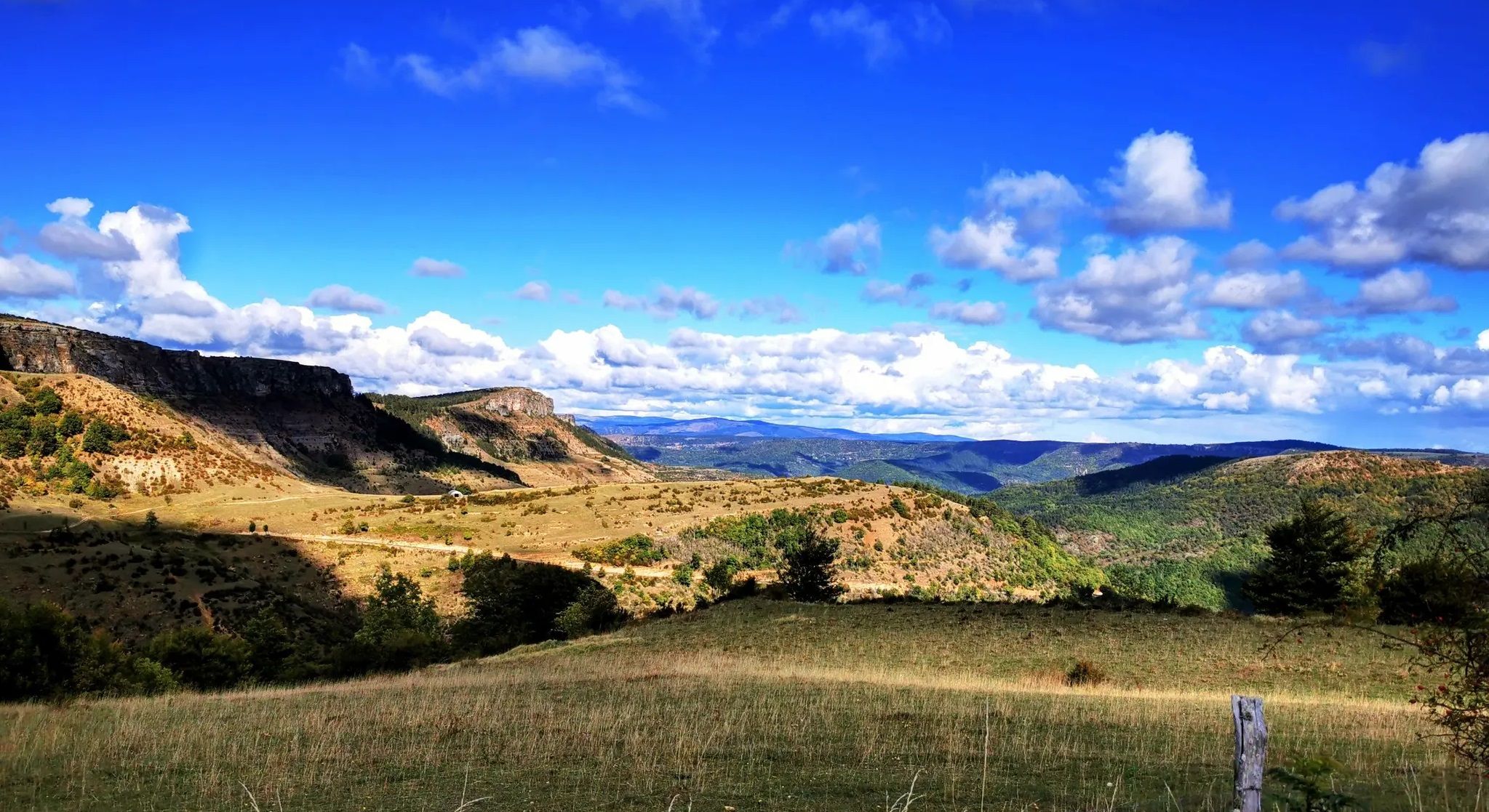
Crossing the Cévennes – a mountain bike trip in the heart of nature
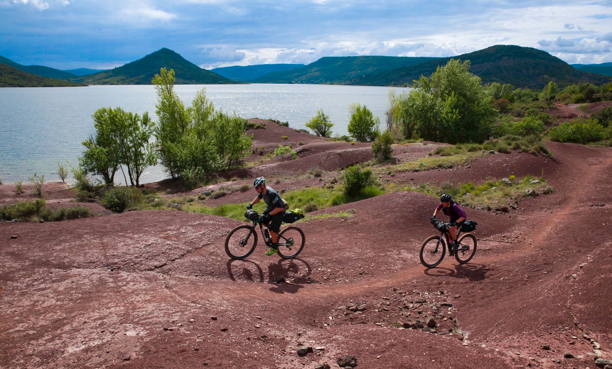
The Great Crossing of France's Massif Central by mountain bike
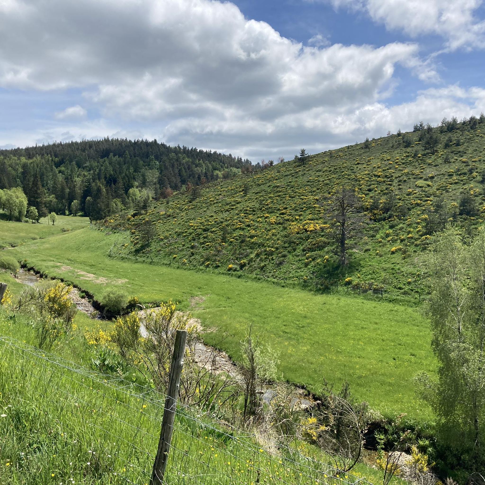
Cycling around Pont-De-Montvert-Sud-Mont-Lozère
Other adventures around Pont-De-Montvert-Sud-Mont-Lozère


Tips from the Community

Great starting point for hikes: Pic Cassini, Pont du Tarn… The cottages are very pleasant.
0
0


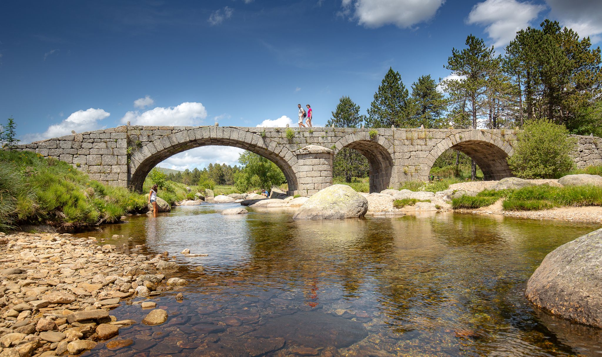
Wonderful old bridge over the Tarn. You then peacefully follow the Tarn.
0
0

Beautiful section of the GR7
4
0
Beautiful village, located on the Tharn. Possible stop on the Stevenson Trail and the GR7
5
0

[09/2024] The picnic table is no longer in the cabin. A tent is inside the cabin (for hikers who can find shelter?)
0
0

bridge over the Tarn ideal for a break / picnic
0
0
Frequently Asked Questions
How many hiking trails are available in Pont-De-Montvert-Sud-Mont-Lozère?
There are over 130 hiking trails in Pont-De-Montvert-Sud-Mont-Lozère, offering a wide range of options for all skill levels. The region is part of the Cévennes National Park, providing diverse landscapes from high-altitude pastures to river valleys.
Are there easy hiking trails suitable for beginners or families?
Yes, there are 19 easy hiking trails in the area, perfect for beginners or families. These routes often explore the gentler parts of the Tarn River valley or offer accessible paths through the lower slopes of Mont Lozère. Many trails are suitable for a leisurely walk to enjoy the natural surroundings.
What are some challenging hikes in the area for experienced hikers?
For experienced hikers seeking a challenge, there are 33 difficult routes. A notable option is the Sommet de Finiels et Pelouse Trail, which leads to Mont Lozère's highest point, offering significant elevation gain and panoramic views. Another demanding route is the Pic Cassini and the sources of the Tarn - loop from Mas de la Barque, exploring high-altitude terrain.
Are there any circular hiking routes available?
Yes, many of the trails in Pont-De-Montvert-Sud-Mont-Lozère are circular, allowing you to start and end at the same point. The Pont du Tarn Loop is a popular example, offering scenic views along the river and through mountain landscapes.
What natural features or landmarks can I see along the hiking trails?
The region is rich in natural and historical landmarks. You can encounter the impressive Finiels Summit on Mont Lozère, offering expansive views. The village itself features a picturesque Tarn Bridge. Further afield, the Cham des Bondons plateau is known for its ancient menhirs, and the stunning Cascade de Rûnes waterfall is a must-see. You might also spot the Pic Cassini.
Are there any trails that feature waterfalls or natural swimming spots?
The Tarn River originates within this territory and flows through the village, creating picturesque natural swimming pools. The region is also home to the impressive Cascade de Rûnes, a nearly 60-meter-high waterfall fed by a stream from the granite rocks of Mont Lozère, offering a refreshing sight. Many trails will lead you near these water features.
Can I bring my dog on the hiking trails?
Pont-De-Montvert-Sud-Mont-Lozère is located within the Cévennes National Park. While dogs are generally welcome on trails, it's crucial to keep them on a leash, especially in protected areas, to respect wildlife and livestock. Always check specific trail regulations before heading out.
What is the best time of year to go hiking in this region?
The best time to hike in Pont-De-Montvert-Sud-Mont-Lozère is typically from spring to autumn (April to October). Spring brings blooming wildflowers, while autumn offers vibrant foliage. Summer is popular but can be hot, so early morning or late afternoon hikes are recommended. Winter hiking is possible, especially with snowshoes on Mont Lozère, but requires appropriate gear and checking conditions.
What do other hikers enjoy most about hiking in Pont-De-Montvert-Sud-Mont-Lozère?
The area is highly rated by the komoot community, with an average score of 4.7 stars from over 600 reviews. Hikers often praise the diverse landscapes, from the granite massifs of Mont Lozère to the verdant Tarn River valleys, and the well-maintained network of trails that cater to various ability levels.
Are there any historical trails or long-distance paths in the area?
Yes, Pont-De-Montvert is a significant and historically rich stop on the GR70, also known as the Stevenson Trail. This long-distance footpath traces the journey of author Robert Louis Stevenson and his donkey in 1878, offering an immersive experience through varied landscapes and historical sites.
Is public transport available to access hiking trailheads?
While specific public transport options directly to every trailhead might be limited, the village of Pont-De-Montvert itself is accessible. For reaching more remote trailheads, a car is often recommended. It's advisable to check local bus schedules or taxi services for connections to specific starting points.
Where can I find parking near the hiking trails?
Parking is generally available in and around the village of Pont-De-Montvert, as well as at designated starting points for popular trails. For example, the Pic Cassini and the sources of the Tarn loop starts from Mas de la Barque, which typically has parking facilities. Always look for marked parking areas to ensure you are not obstructing local access or private property.
Most popular routes around Pont-De-Montvert-Sud-Mont-Lozère
Most popular attractions around Pont-De-Montvert-Sud-Mont-Lozère

Get inspired with the komoot mobile app


Explore more
Browse the best Hikes in other regions.
