The best walks and hikes around Groslée-Saint-Benoît
4.4
(1001)
5,264
hikers
13
hikes
Hiking around Groslée-Saint-Benoît offers diverse landscapes, including the southern Bugey Mountains, the Rhône River valley, and notable waterfalls. The terrain features a mix of modest hills, riverine paths, and wooded sections, providing varied itineraries for hikers. The region is characterized by its blend of natural features, from panoramic viewpoints to rich wetland areas.
Best hiking trails around Groslée-Saint-Benoît
- The most popular hiking route is View of the Rhône Valley – Cabane à livres loop from Cascade de Glandieu, a…
Last updated: September 28, 2026
4.1
(21)
51
hikers
11.6km
03:50
400m
400m
Moderate hike. Good fitness required. Mostly accessible paths. Sure-footedness required.
4.3
(13)
86
hikers
5.97km
02:09
230m
230m
Moderate hike. Good fitness required. Mostly accessible paths. Sure-footedness required.

4.0
(1)
17
hikers
14.5km
04:32
540m
540m
Moderate hike. Good fitness required. Easily-accessible paths. Suitable for all skill levels.
5.0
(2)
16
hikers
Hard hike. Very good fitness required. Mostly accessible paths. Sure-footedness required.
4.3
(7)
15
hikers
4.34km
01:34
160m
160m
Moderate hike. Great for any fitness level. Mostly accessible paths. Sure-footedness required.
Get access to more routes and recommendations from other explorers.
Already have an account?
Our route recommendations are based on thousands of hikes, rides, and runs completed by other people on komoot.
Start today with a free account
Your next adventure awaits.
Popular around Groslée-Saint-Benoît
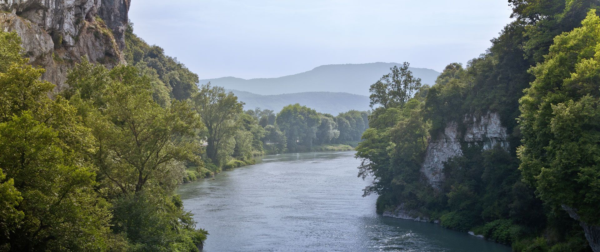
Rhone Cycle Route — From the southern Jura to Lyon
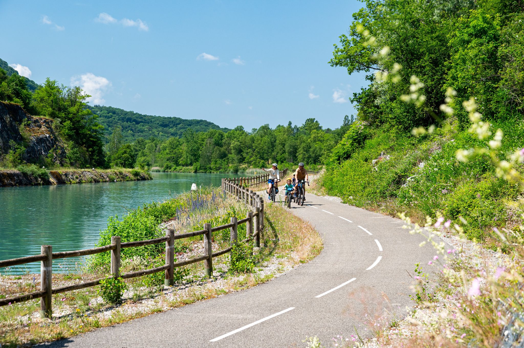
ViaRhôna — ride from the Alps to the Mediterranean
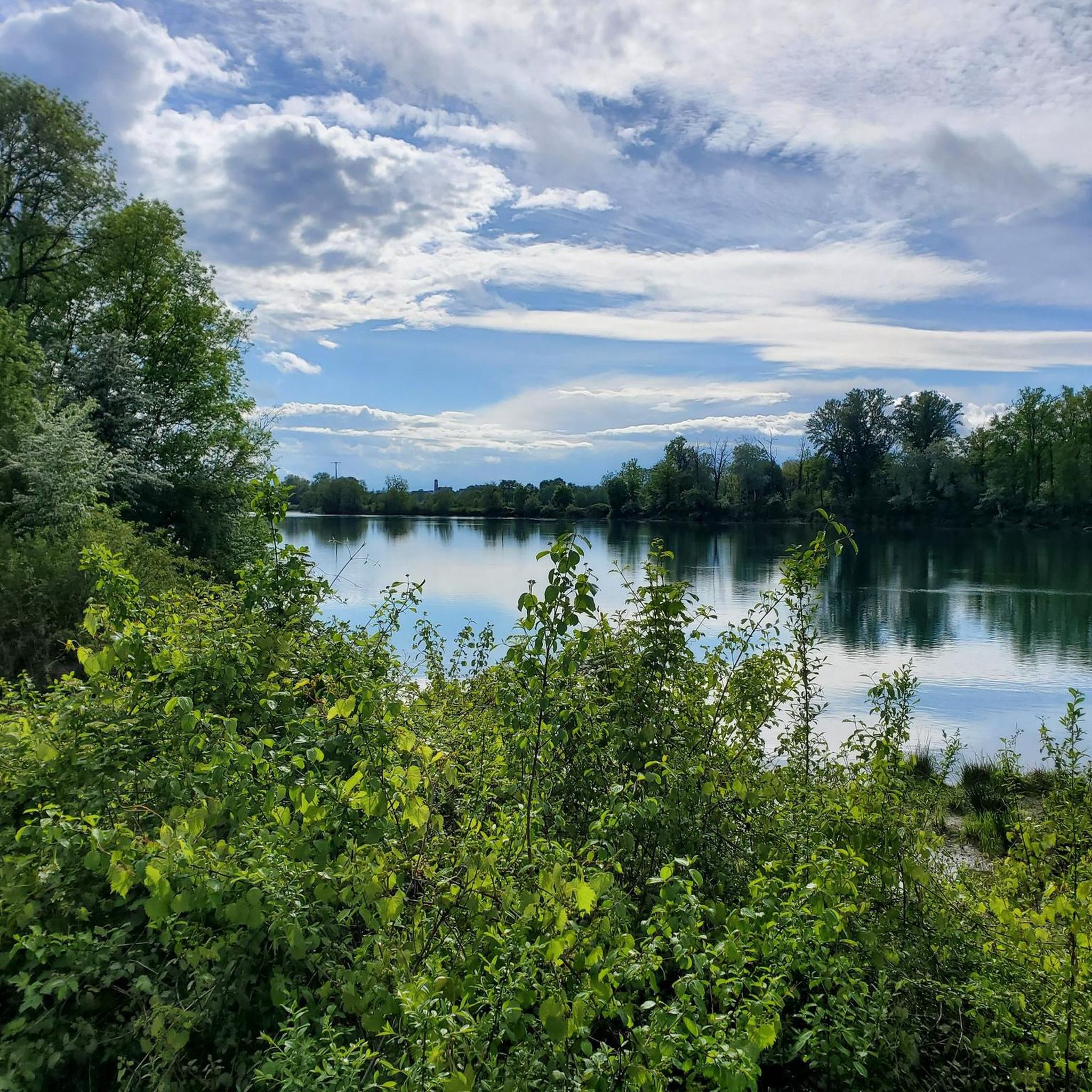
Cycling around Groslée-Saint-Benoît
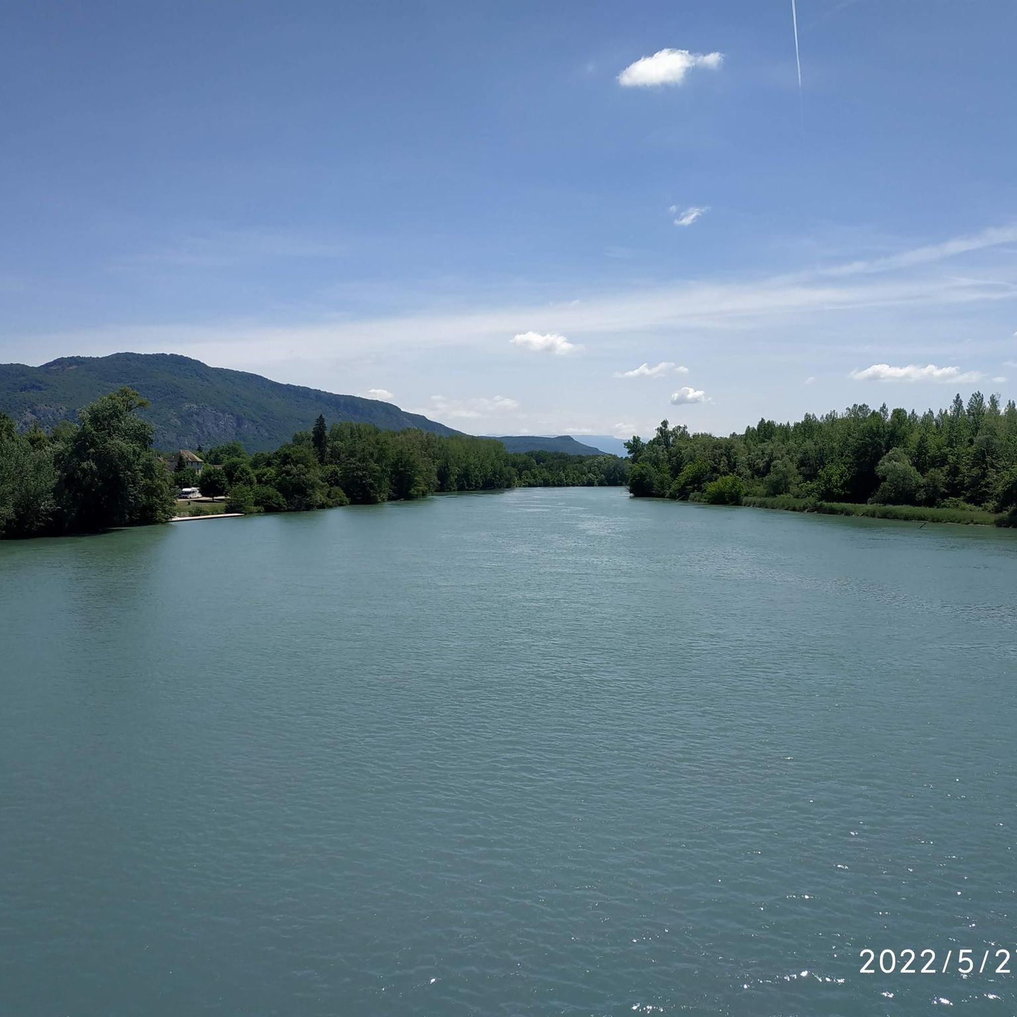
MTB Trails around Groslée-Saint-Benoît
Road Cycling Routes around Groslée-Saint-Benoît
Running Trails around Groslée-Saint-Benoît

Gravel biking around Groslée-Saint-Benoît


Tips from the Community

Seeing Mont du Chat from the west face is interesting for a Savoyard ;-)
0
0

The gazebo is a bit tilted but sturdy 😬
0
0

Wow, what a beautiful waterfall! 🤩🤩
1
0

A must-see spot in the region, magnificent and impressive, but be careful of the incredible number of tourists in case of good weather during the day, choose to go there early in the morning!
1
0
The cave is bigger than it seems when you go inside.
2
0
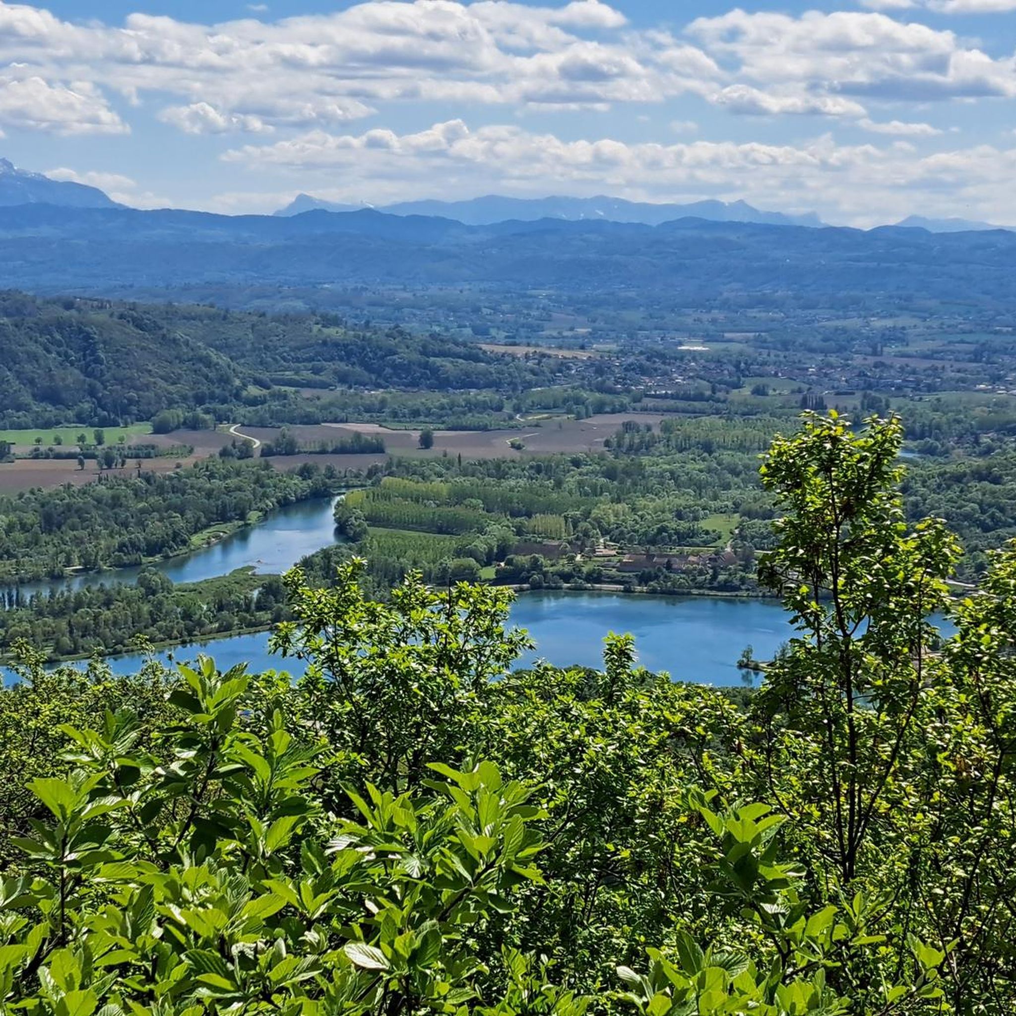
Magnificent and unobstructed viewpoint over the 2 mountain lakes, especially in sunny weather which brings out their blue.
1
0
Wooden belvedere overlooking a superb view of Prémeyzel and Arboys-en-Bugey.
1
0
Frequently Asked Questions
How many hiking trails are available in Groslée-Saint-Benoît?
Groslée-Saint-Benoît offers a diverse selection of over 10 hiking trails, catering to various skill levels. You'll find a mix of easy, moderate, and difficult routes to explore the region's landscapes.
Are there any easy hiking trails suitable for beginners or families?
Yes, Groslée-Saint-Benoît has several easy trails perfect for beginners or families. An excellent option is the Cabane à livres – Glandieu Waterfall loop from Brégnier, which is just under 5 km and features minimal elevation gain. Another very short and easy walk is the Glandieu Waterfall – Cabane à livres loop from Cascade de Glandieu, ideal for a quick stroll to the waterfall.
What kind of natural features can I expect to see on hikes in Groslée-Saint-Benoît?
The region is rich in natural beauty, offering a blend of the Bugey Mountains, the majestic Rhône River, and impressive waterfalls. You can expect panoramic views from mountain peaks, serene riverine paths, and lush wooded sections. Notable features include the spectacular Glandieu Waterfall and the beautiful Brive Waterfall with its turquoise pool.
Are there any circular hiking routes in the area?
Yes, many trails in Groslée-Saint-Benoît are designed as circular routes, allowing you to start and end at the same point. For example, the Hiking loop from Groslée-Saint-Benoit is a moderate 14.5 km path that explores the local landscape, and the View of the Rhône Valley – Cabane à livres loop from Cascade de Glandieu offers scenic views over 11.5 km.
Can I hike to any waterfalls in Groslée-Saint-Benoît?
Absolutely! The region is famous for its waterfalls. The spectacular Glandieu Waterfall is easily accessible and a prominent feature. You can also visit the Brive Waterfall, known for its beautiful turquoise pool where swimming is possible. The Cascade des Dards is another captivating waterfall in the area.
What do other hikers say about the trails in Groslée-Saint-Benoît?
The hiking trails in Groslée-Saint-Benoît are highly regarded by the komoot community, holding an average rating of 4.4 stars from over 800 reviews. Hikers frequently praise the diverse landscapes, from mountain views to river valleys, and the impressive waterfalls. Many appreciate the well-maintained paths and the variety of routes available for different fitness levels.
Are there any trails that offer views of lakes?
Yes, you can find trails that lead to scenic lake views. The View of the lakes loop from Saint-Benoît is a challenging 18.7 km trail that takes you through mountainous terrain and provides beautiful vistas of the local lakes, including Lac d'Ambléon.
What historical or cultural landmarks can I discover while hiking?
Beyond natural beauty, the region offers glimpses into its history. You might encounter historical monuments such as the Château de Groslée, dating from the 12th century, or the Maison de Vareppe, a fortified manor house. The area also features ancient Roman inscriptions and a magnificent suspension bridge from 1912 linking Groslée to the Isère department.
Is it possible to combine hiking with cycling in Groslée-Saint-Benoît?
Yes, the region is well-suited for combining activities. The ViaRhôna cycle path runs along the Rhône River, offering well-maintained routes that provide opportunities to admire the scenery and even cross the river's original course through gorges. This allows for scenic walks alongside or in conjunction with cycling.
Are there any specific regulations for visiting the waterfalls?
When visiting natural sites like the Glandieu Waterfall, which is classified as a 'Sensitive Natural Area,' it's important to respect local regulations. While it's easily accessible and great for photography, activities like swimming and picnicking are generally prohibited to preserve the site's natural integrity. Always look for local signage for specific rules.
What is the best time of year to go hiking in Groslée-Saint-Benoît?
The spring and autumn months are generally ideal for hiking in Groslée-Saint-Benoît. During these seasons, the weather is typically mild, and the natural landscapes are particularly vibrant, whether with spring blooms or autumn foliage. Summer can also be pleasant, especially for higher altitude routes, but be prepared for warmer temperatures.
Most popular routes around Groslée-Saint-Benoît
Most popular attractions around Groslée-Saint-Benoît

Get inspired with the komoot mobile app


Explore more
Browse the best Hikes in other regions.
