The best gravel rides around Groslée-Saint-Benoît
4.6
(28)
160
riders
11
rides
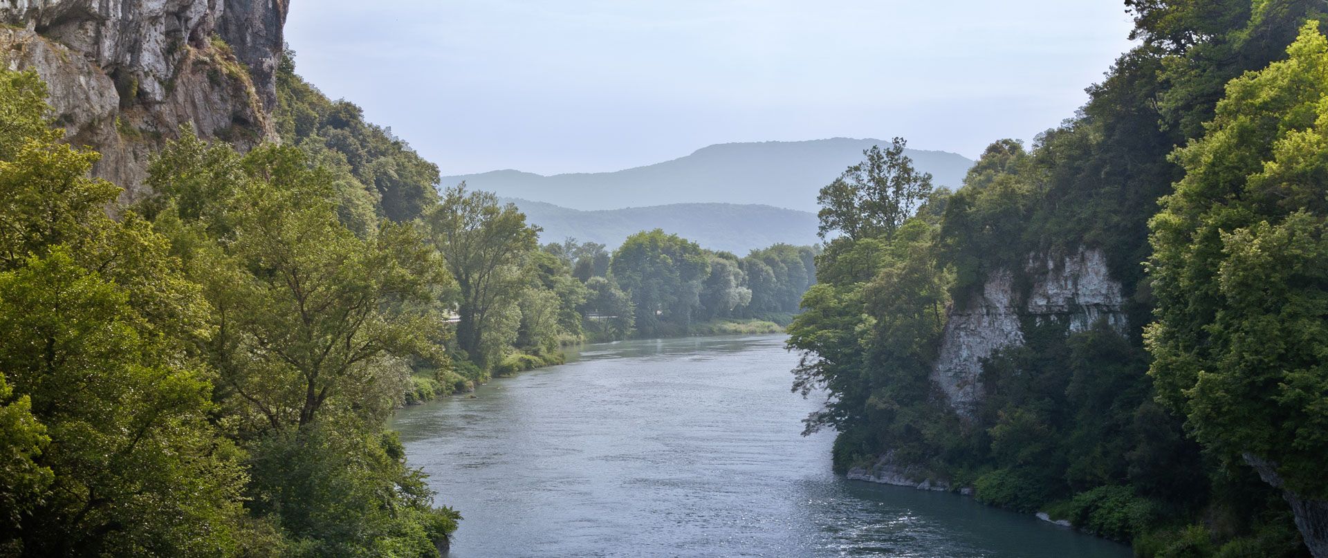
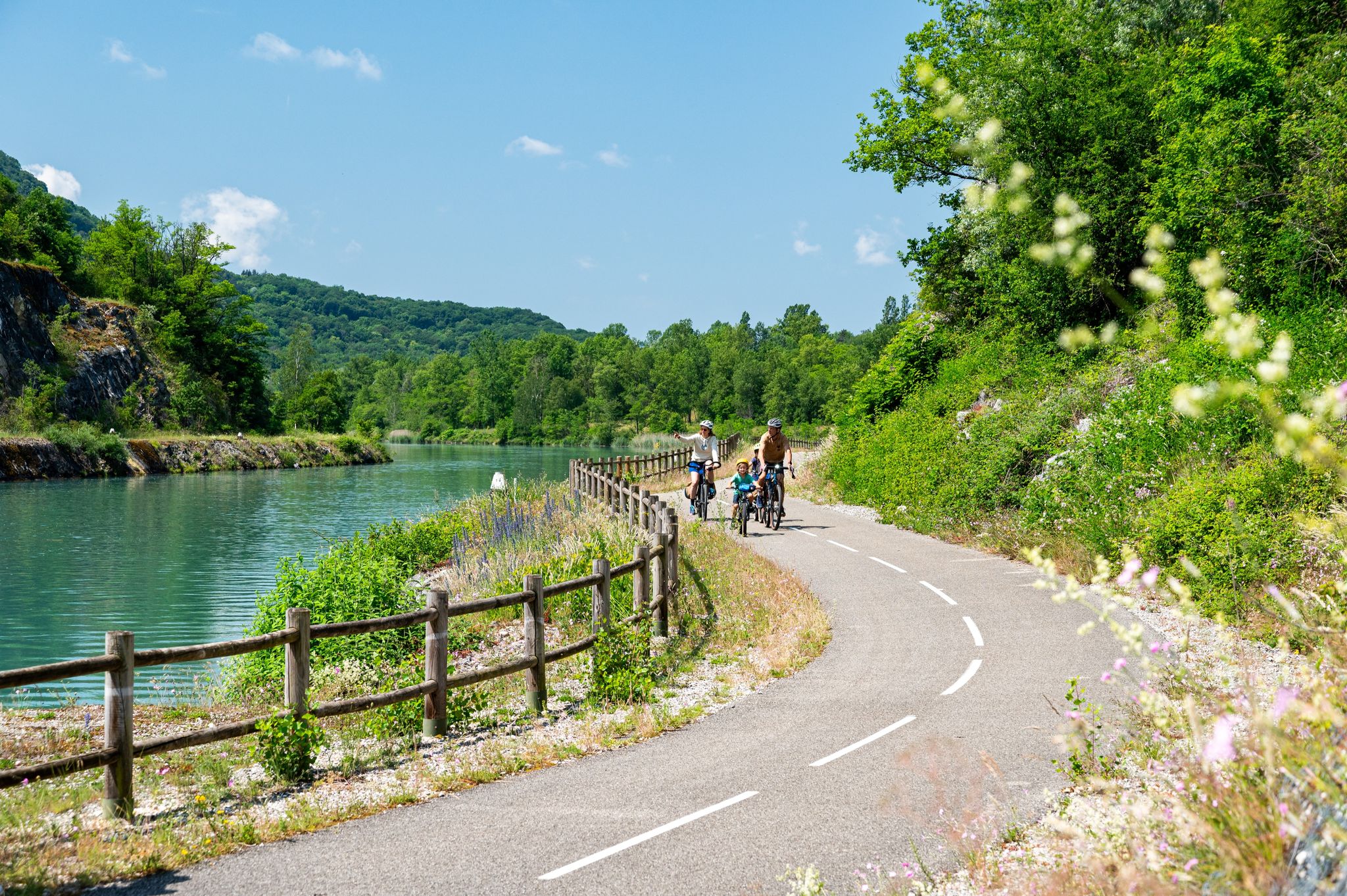
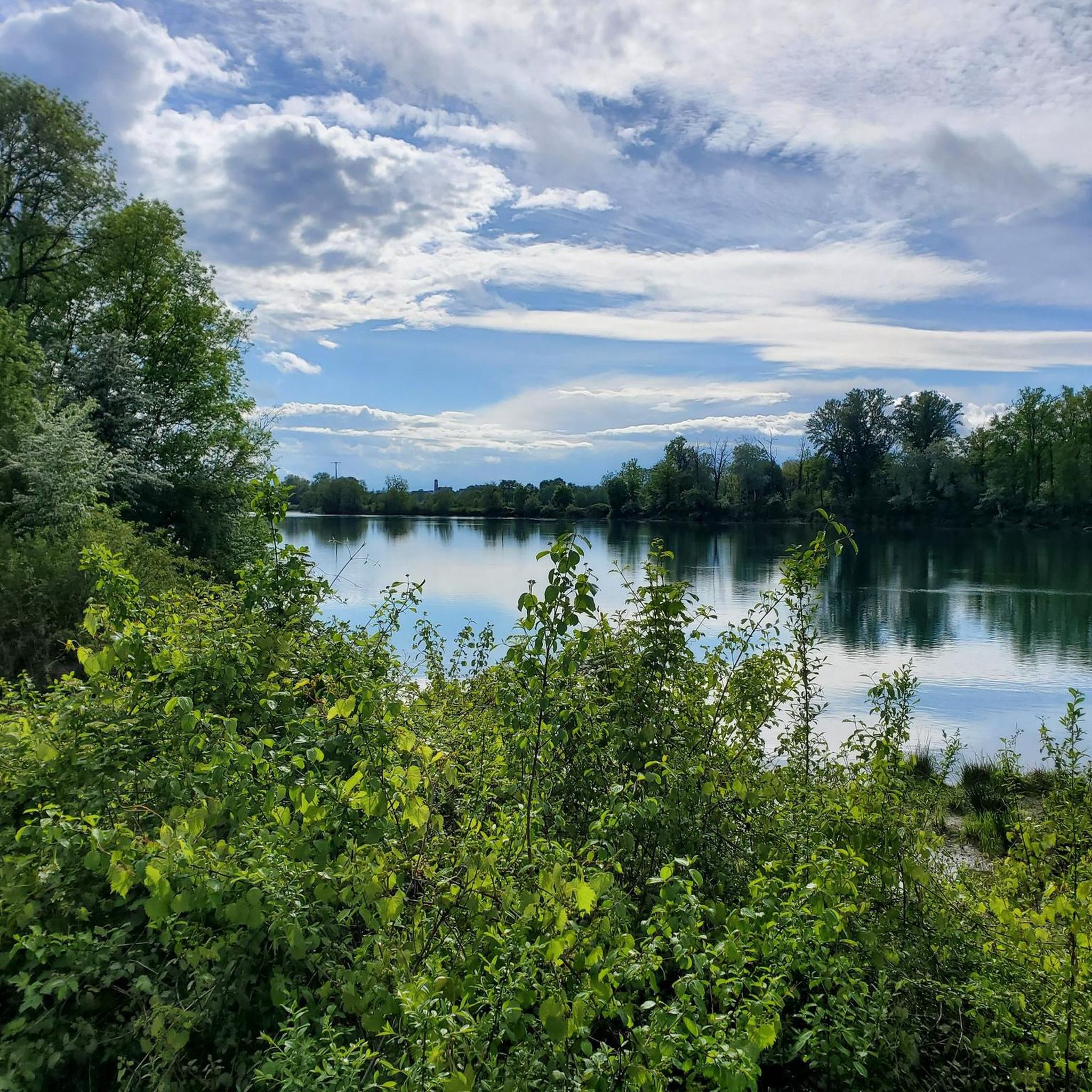
Gravel biking around Groslée-Saint-Benoît offers diverse landscapes, from gentle riverside paths along the Rhône River to more challenging ascents in the Bugey region. The area features a varied topography, including vineyards, preserved natural environments, and forests, providing a mix of paved and unpaved surfaces. This region in the Ain department is characterized by its riverine landscapes and the foothills of the Bugey mountains, with limestone soils that offer good grip.
Best gravel bike trails around Groslée-Saint-Benoît
- The most popular gravel…
Last updated: October 8, 2026
3.0
(1)
41
riders
97.6km
05:19
430m
430m
Hard gravel ride. Very good fitness required. Mostly paved surfaces. Suitable for all skill levels.
5.0
(6)
14
riders
32.2km
02:12
310m
310m
Moderate gravel ride. Good fitness required. Mostly paved surfaces. Suitable for all skill levels.

5.0
(2)
16
riders
35.2km
02:38
560m
560m
Hard gravel ride. Very good fitness required. Mostly paved surfaces. Suitable for all skill levels.
5.0
(7)
39
riders
Moderate gravel ride. Good fitness required. Mostly paved surfaces. Suitable for all skill levels.
4.3
(6)
15
riders
44.3km
02:33
150m
150m
Moderate gravel ride. Good fitness required. Mostly paved surfaces. Suitable for all skill levels.
Get access to more routes and recommendations from other explorers.
Already have an account?
Our route recommendations are based on thousands of hikes, rides, and runs completed by other people on komoot.
Start today with a free account
Your next adventure awaits.
Popular around Groslée-Saint-Benoît


Tips from the Community

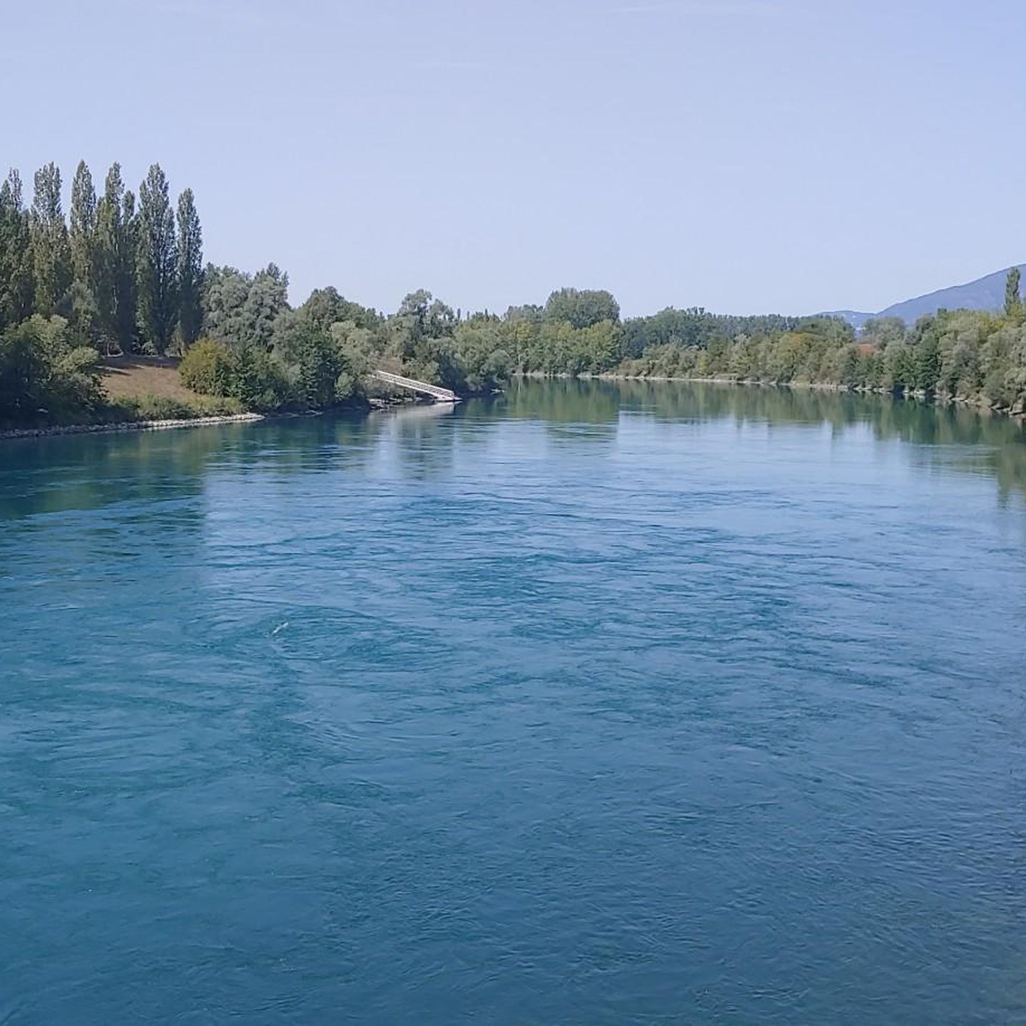
The trail runs along the Guiers river to its confluence with the Rhône, on the edge of Savoie.
0
0
Built between 1942 and 1946 under the direction of architect V. Bollard, it has a unique span of 64 meters. It is one of the last large bridges made of dressed stone (from Parves) built in France.
0
0
The site is freely accessible on foot and offers four major marked routes to gently explore its riches.
0
0
The area is located on the border between the departments of Isère and Ain, right next to the Pont d’Évieu. A specific ViaRhôna link allows you to reach the center of the commune of Les Avenières directly from this point via small country roads.
0
0

The Via Rhona in the direction of Belley. Magnificent cycle path
1
0

a very nice section for us cyclists
0
0


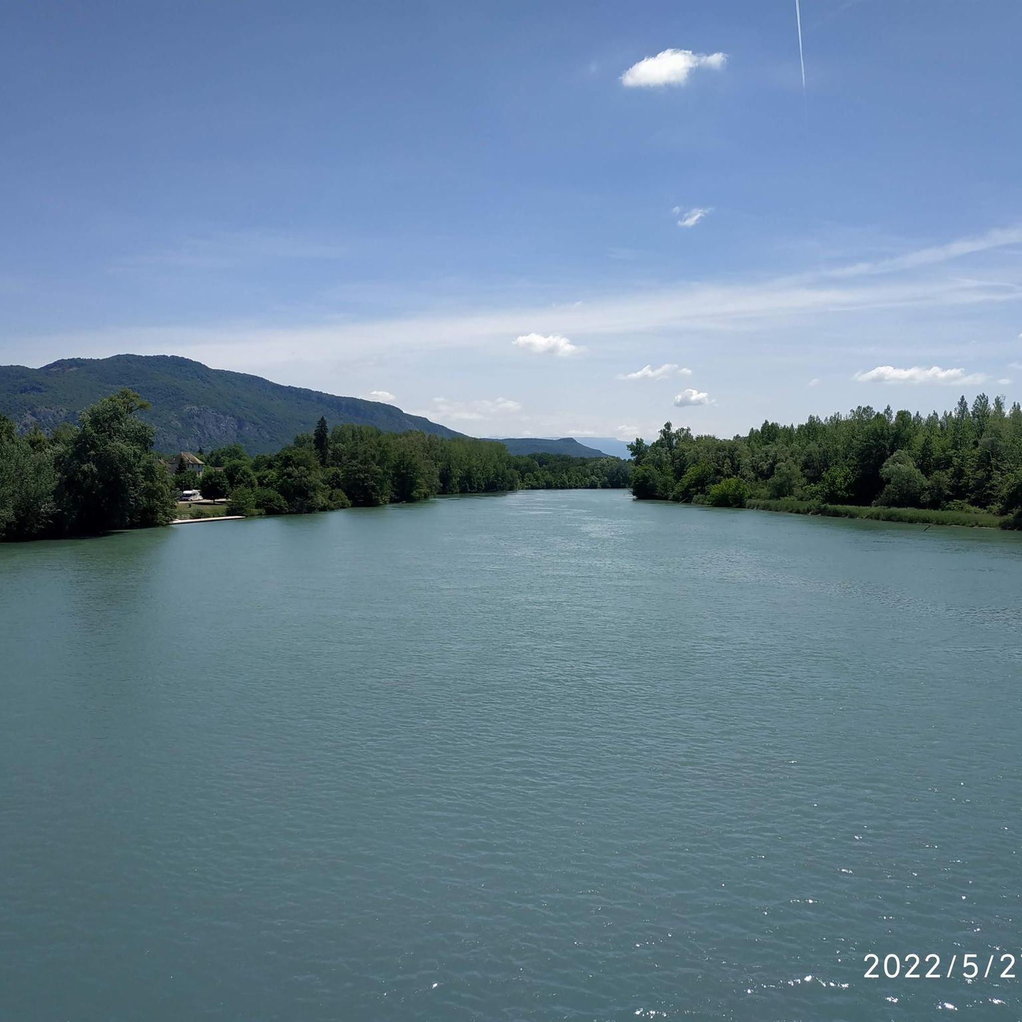
A beautiful section along the Rhone.
0
0
Frequently Asked Questions
What kind of terrain can I expect on gravel bike trails around Groslée-Saint-Benoît?
The region offers a diverse mix of terrain, from gentle riverside paths along the majestic Rhône River to more challenging ascents in the Bugey mountains. You'll encounter a variety of surfaces, including paved sections, unpaved gravel paths, and forest trails, providing a varied experience for gravel bikers.
Are there any easy or beginner-friendly gravel bike routes in Groslée-Saint-Benoît?
Yes, there are several routes suitable for beginners or those looking for an easier ride. The area features paths along the Rhône River that are generally less demanding. For example, the Rock Tunnel on the ViaRhôna – Virignin footbridge loop from Pélissière is a moderate 32.2 km path that follows the ViaRhôna, offering scenic river views.
What are some notable natural attractions or viewpoints I can visit while gravel biking in the area?
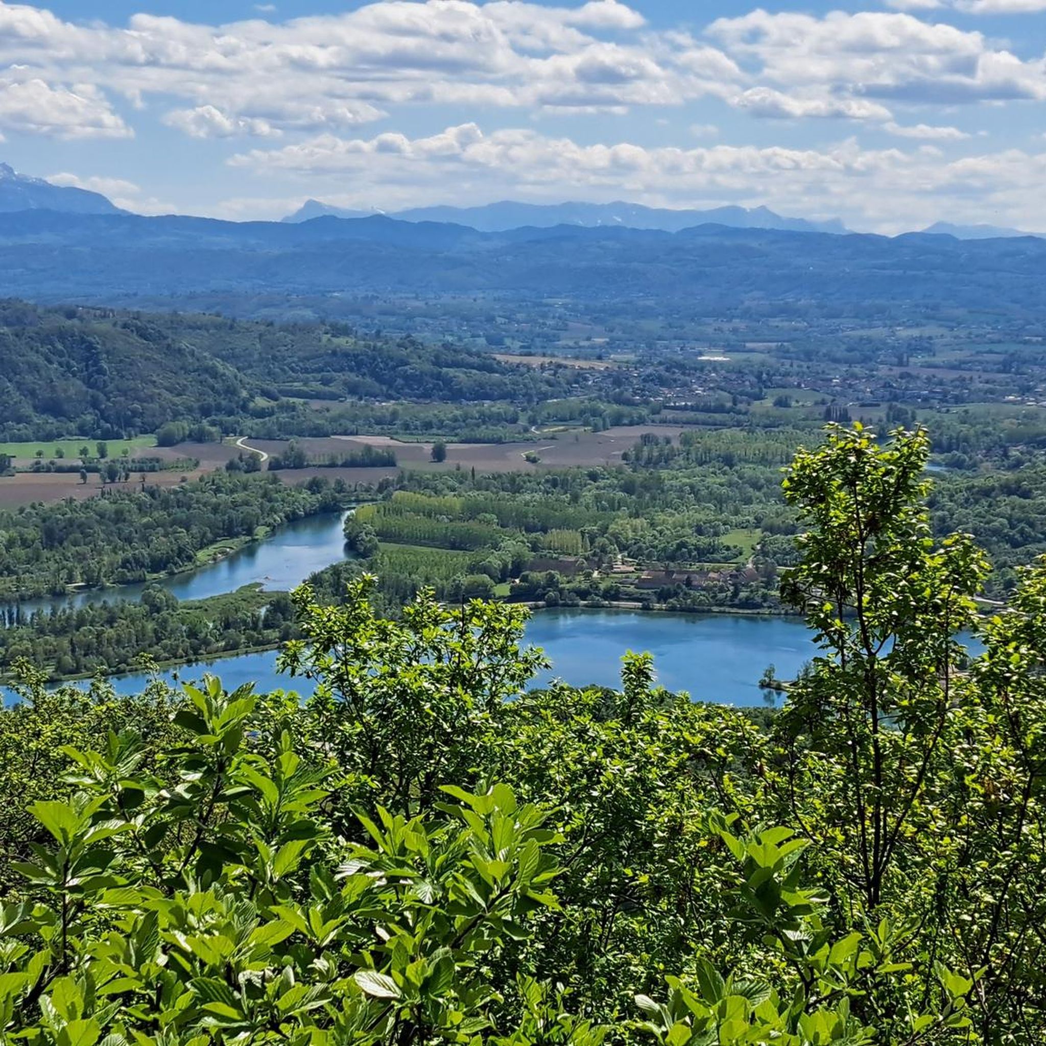
Groslée-Saint-Benoît is rich in natural beauty. You can visit the spectacular Glandieu Waterfall, which plunges over 60 meters and is easily accessible near the ViaRhôna. Other highlights include the serene Lac d'Ambléon and the View of the Rhône from Belvédère du Site des Fils, offering panoramic vistas of the river and distant mountains.
Are there any circular gravel bike routes available?
Many of the gravel bike routes in Groslée-Saint-Benoît are designed as loops, allowing you to start and finish at the same point. An example is the Virignin footbridge – Virignin la Balme footbridge loop from Brangues, a 73.5 km trail that takes you through riverside landscapes and across historical footbridges.
What is the best season for gravel biking in Groslée-Saint-Benoît?
The region is generally pleasant for gravel biking from spring through autumn. Spring offers lush greenery and blooming landscapes, while autumn provides vibrant colors. Summer can be warm, but riverside routes often offer a refreshing breeze. Always check local weather conditions before heading out.
Can I find challenging gravel bike trails in the Bugey region near Groslée-Saint-Benoît?
Absolutely. The Bugey region, part of the varied terrain around Groslée-Saint-Benoît, offers more demanding ascents and descents for experienced gravel bikers. Routes like the Savière Canal – Savière Canal loop from Groslée-Saint-Benoit, a challenging 96.9 km trail, explore the scenic canal area with significant elevation changes.
What do other gravel bikers enjoy most about the routes in Groslée-Saint-Benoît?
The gravel biking routes in Groslée-Saint-Benoît are highly rated by the komoot community, with an average score of 4.6 stars from over 20 reviews. Riders frequently praise the diverse landscapes, the scenic views along the Rhône River, and the mix of challenging and accessible paths that cater to various skill levels.
Are there options for longer gravel bike tours in the area?
Yes, for those seeking longer adventures, there are several extensive routes. The Groslée Bridge – Virignin footbridge loop from Groslée-Saint-Benoit is a challenging 72.3 km route that includes significant elevation gain, offering a full day's ride through varied landscapes.
Is there public transport access to the gravel biking trails in Groslée-Saint-Benoît?
While specific public transport connections directly to trailheads might be limited, the region is accessible by regional train services to nearby towns. From there, you might need to cycle or arrange local transport to reach your desired starting point. Planning your route in advance and checking local transport schedules is recommended.
Are there any historical sites or cultural landmarks to see along the gravel routes?
Beyond its natural beauty, Groslée-Saint-Benoît offers historical charm. You can encounter monuments like the church Saint-Laurent-de-Groissiat and the Château de Groslée, as well as the notable suspended bridge of Groslée, adding cultural interest to your rides. The ViaRhôna itself passes by various historical bridges and structures.
How many gravel bike routes are available in Groslée-Saint-Benoît?
There are 16 gravel bike routes documented in Groslée-Saint-Benoît, catering to various skill levels. This includes 3 easy routes, 7 moderate routes, and 6 difficult routes, ensuring there's something for every gravel biker.
Are there any routes that follow the ViaRhôna cycle path?
Yes, the ViaRhôna cycle path is a significant feature of the region, providing well-maintained and scenic routes along the Rhône River. The Rock Tunnel on the ViaRhôna – Virignin footbridge loop from Pélissière is a prime example, offering river views and passing through a unique rock tunnel directly on the ViaRhôna.
Most popular routes around Groslée-Saint-Benoît
Most popular attractions around Groslée-Saint-Benoît

Get inspired with the komoot mobile app


Explore more
Browse the best Gravel rides in other regions.
