The best walks and hikes around Sandviken
4.6
(384)
1,565
hikers
38
hikes
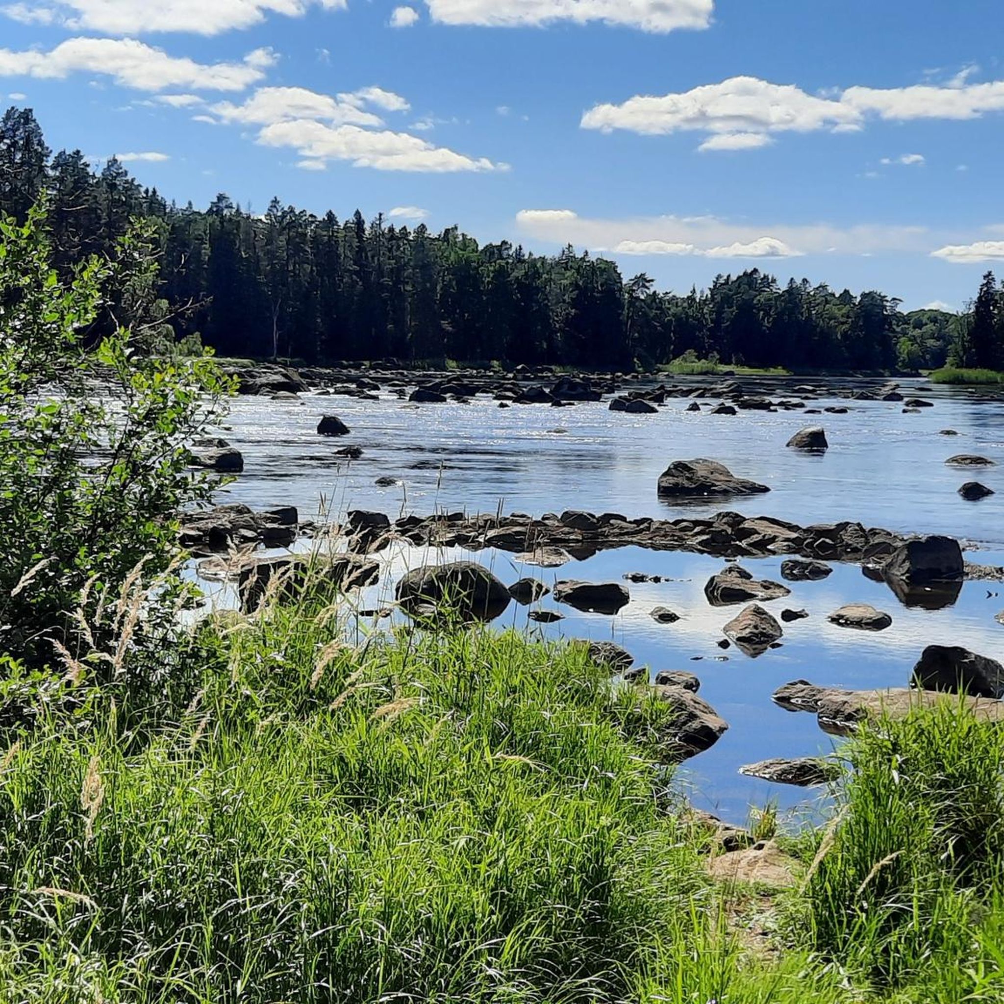
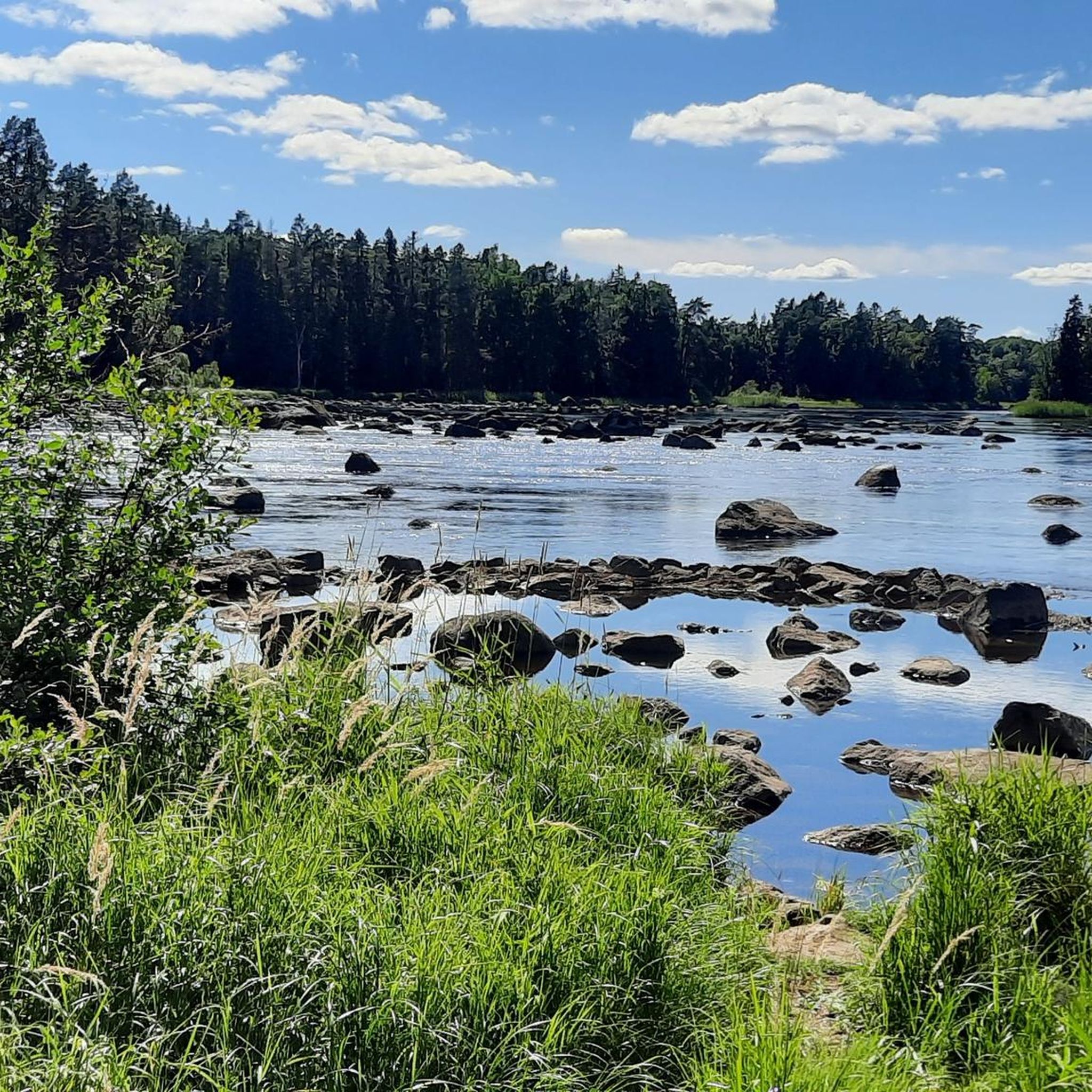
Hiking around Sandviken offers diverse natural landscapes, characterized by extensive forests, numerous lakes, and unique river environments. The region is home to sections of the lower Dalälven river, including the UNESCO-recognized Färnebofjärden National Park, which features a mosaic of wetlands and woodlands. Elevation changes are generally gentle, making the area accessible for various hiking abilities.
Best hiking trails around Sandviken
- The most popular hiking route is Gysinge Nature Reserve loop, a 5.5 miles (8.9 km) trail that takes 2…
Last updated: August 19, 2026
4.7
(143)
507
hikers
8.92km
02:16
20m
20m
Moderate hike. Good fitness required. Easily-accessible paths. Suitable for all skill levels.
4.3
(57)
292
hikers
3.65km
00:56
10m
10m
Easy hike. Great for any fitness level. Easily-accessible paths. Suitable for all skill levels.

Sign up for free
5.0
(2)
6
hikers
8.45km
02:09
30m
10m
Hike the moderate 5.2-mile Gästrikeleden Trail from Österfärnebo to Gysinge in about 2 hours, exploring Färnebofjärden National Park.
4.42km
01:08
10m
10m
Easy hike. Great for any fitness level. Easily-accessible paths. Suitable for all skill levels.
4.6
(21)
68
hikers
Moderate hike. Good fitness required. Easily-accessible paths. Suitable for all skill levels.
Get access to more routes and recommendations from other explorers.
Sign up for free
Already have an account?
Our route recommendations are based on thousands of hikes, rides, and runs completed by other people on komoot.
Start today with a free account
Your next adventure awaits.
Login or Signup

Tips from the Community

Enjoy a nice scenic break or even the night at this classic shelter with a large barbecue place and view of the lake.
0
0
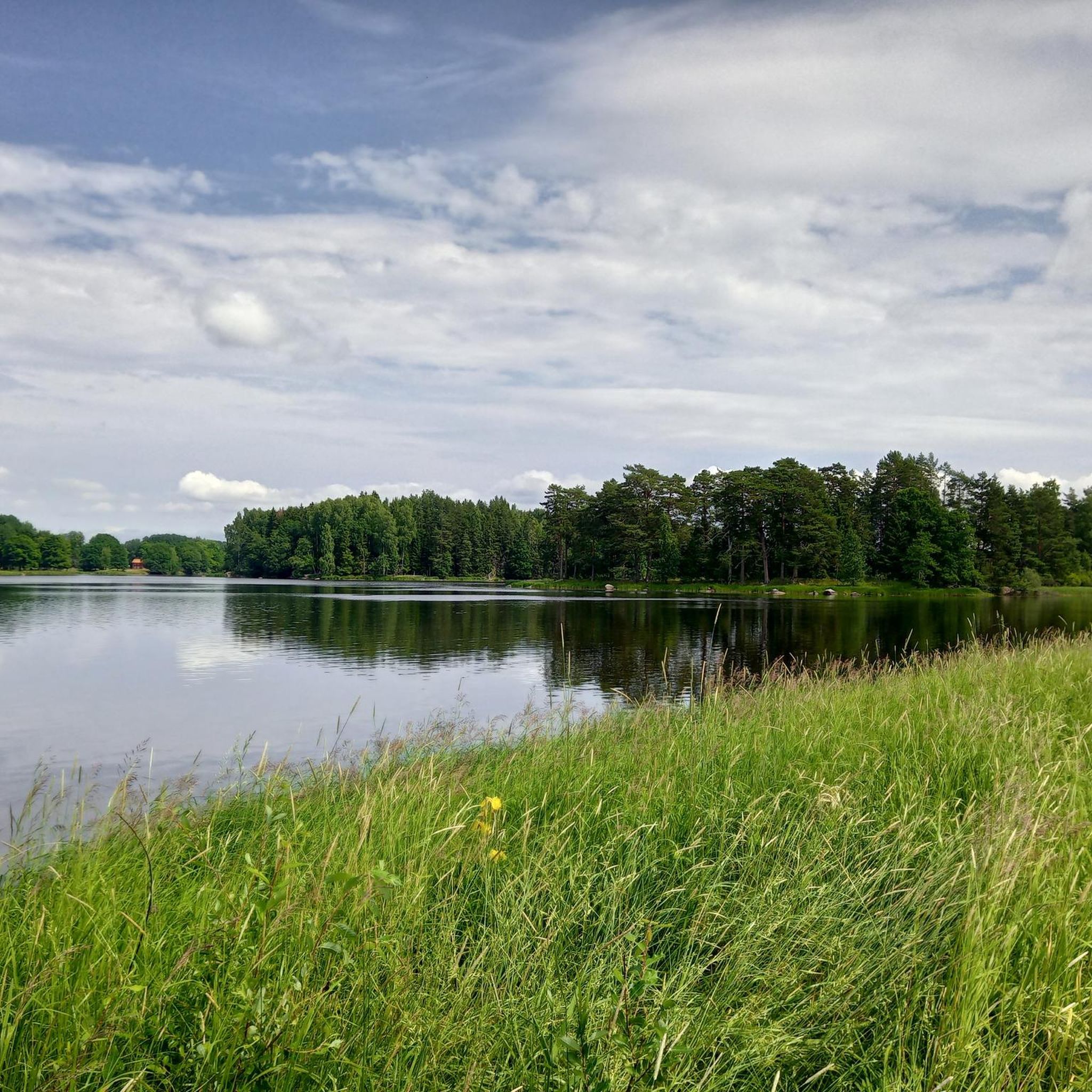
A classic Swedish shelter to take a break or spend the night with a great view of lake Högbo.
0
0

I'd like to give you a tip for the trail: the hike from Österfärnebro to Gysinge is challenging. You'll need hiking boots, and the trail leads through swampy terrain, where it can be quite wet. A hiking pole and long pants also helped us a lot... and mosquito repellent. ☺️ The return trip along the road is not recommended for hikers with dogs or children. It's a very long walk there and back from the Schwedenpause campsite.
1
0

Beautiful round through fantastic Swedish landscape through forest and by the water. Climbing onto the island requires surefootedness and muscle power to operate the winch. A very rewarding hike, which can also be shortened.
0
0

A stunning path with plenty of picturesque forest and wetland scenery to enjoy.
2
0

This Stage of the Gästrikeleden trail leads hikers on a journey between Österfärnebo and Gysinge bruk in Gävleborg County. Maintained by Föreningen Naturkraft Gästrikland, this section offers an exciting challenge suitable for hikers of various experience levels. Starting in Österfärnebo, a quaint village along the Dalälven river, the trail begins near the 14th-century church, a landmark worth visiting. The route then winds through the stunning natural landscapes of the Färnebofjärden Nature Reserve before ending at Gysinge bruk. Gysinge bruk is a wonderfully preserved historic ironworks site and nature reserve, renowned for its rich blend of cultural and natural heritage. From here, hikers can continue their adventure on the Gästrikeleden, either toward Oppsjön via Stage 12 or Hedesunda via Stage 14.
2
0
This protected area, part of Färnebofjärden National Park, offers mystical forest paths and a breathtaking natural scenery.
0
0

Very impressive. The beavers have done a great job.
0
0
Frequently Asked Questions
How many hiking trails are there around Sandviken?
Sandviken offers a diverse network of over 35 hiking trails, catering to various skill levels. You'll find a good mix of easy, moderate, and a few more challenging routes to explore the region's forests, lakes, and river landscapes.
Are there any easy or beginner-friendly hikes in Sandviken?
Yes, Sandviken has many options suitable for beginners or those looking for a relaxed walk. Nearly half of the trails are rated as easy. A great example is The pry - Färnebofjärden National Park, an easy 3.7 km path offering scenic views within the national park's unique river landscape.
What kind of natural features or landmarks can I expect to see while hiking in Sandviken?
The Sandviken area is rich in natural beauty. You can explore the unique river landscape of Färnebofjärden National Park, a UNESCO-recognized area with a mosaic of lakes, rapids, wetlands, and forests. Highlights include the Shelter with fire pit by Färnebofjärden and the Main Entrance of Färnebofjärden National Park. The region also features extensive forests and serene lakes like Storsjön, with areas like Högbo Bruk Outdoor Area offering well-maintained trails and facilities.
Are there any circular hiking routes in the Sandviken area?
Yes, several trails are designed as circular routes, allowing you to start and end at the same point. One notable option is the Gysinge Nature Reserve loop, a moderate 8.9 km trail that takes you through the natural beauty of the reserve.
Can I bring my dog on the hiking trails in Sandviken?
Generally, dogs are welcome on hiking trails in Sandviken, especially in natural areas like forests and along lakes. However, always keep your dog on a leash, especially in nature reserves and national parks, to protect wildlife and ensure a pleasant experience for all hikers. Check specific park regulations if you plan to visit Färnebofjärden National Park.
Are there family-friendly hiking options in Sandviken?
Absolutely. Many of the easier trails are suitable for families with children. The diverse landscapes, including forests and lake shores, provide engaging environments for younger hikers. Areas like Högbo Bruk offer well-maintained paths and facilities that can be great for a family outing.
What is the best time of year to go hiking in Sandviken?
The best time for hiking in Sandviken is typically from spring through autumn (May to October). During these months, the weather is generally mild, and the natural landscapes are vibrant. Summer offers long daylight hours, while autumn provides beautiful fall foliage. Winter hiking is also possible, especially on groomed trails, but requires appropriate gear for snow and ice.
Are there any facilities like rest cabins or grilling areas along the trails?
Yes, particularly in popular outdoor areas like Högbo Bruk, you can find excellent facilities. These often include rest cabins (raststugor) and designated grilling areas (grillplatser), some even equipped with hot tubs and saunas, providing comfortable spots to take a break and enjoy nature.
How do other hikers rate the trails in Sandviken?
The hiking trails in Sandviken are highly regarded by the komoot community, with an average rating of 4.6 stars from over 300 reviews. Hikers often praise the region's diverse natural landscapes, well-maintained paths, and the serene atmosphere of its forests and lakes.
Can I reach hiking trails in Sandviken using public transport?
While some areas might be accessible by local buses, many trailheads, especially those deeper in nature reserves, are best reached by car. For specific routes, it's advisable to check local public transport schedules and connections to the nearest towns or villages that serve as starting points for hikes.
Are there any long-distance trails that pass through Sandviken?
Yes, sections of the long-distance Gästrikeleden trail are accessible from the Sandviken area. A notable stage is the Gästrikeleden Trail: Österfärnebo to Gysinge, a moderate 8.4 km route that leads through varied natural landscapes, including parts of Färnebofjärden National Park.
Where can I find information about parking near Sandviken's hiking trails?
Parking availability varies by trailhead. Popular outdoor centers like Högbo Bruk typically have designated parking areas. For trails within Färnebofjärden National Park or other nature reserves, look for marked parking lots near the main entrances or trail starting points. It's always a good idea to check specific route details on komoot for parking recommendations.
Most popular attractions around Sandviken

Get inspired with the komoot mobile app


Explore more
Browse the best Hikes in other regions.
