The best road cycling routes around South Ostrobothnia
4.6
(21)
926
riders
91
rides
Road cycling routes around South Ostrobothnia traverse a landscape characterized by expansive plains, significant river valleys, and diverse forest sections. The region offers predominantly flat to gently rolling terrain, making it suitable for various fitness levels. Cyclists will encounter open agricultural areas, picturesque lakeside routes, and occasional low hills, with elevations generally remaining under 200 meters. The network of roads provides access to both natural beauty and cultural landmarks.
Best road cycling routes around South Ostrobothnia
- The most popular road cycling route is From Alahärmä to Ylihärmä loop, a 21.5 miles (34.6 km) trail that takes 1 hour 31 minutes to complete. This route offers a ride through the region's characteristic open plains and agricultural landscapes.
- Another top favourite among local road cyclists is Kela Social Insurance Institution loop from Kitinoja, a moderate 37.2 miles (59.8 km) path. This route showcases the broad, flatland scenery typical of Ostrobothnia.
- Local road cyclists also love the Roadbike loop from Myllykylä, a 36.3 miles (58.5 km) trail leading through varied rural landscapes, often completed in about 2 hours 17 minutes.
- Road cycling around South Ostrobothnia is defined by vast plains, scenic river valleys, and clear lakes. The network offers options for different ability levels, from easy rides to more challenging routes with some elevation changes.
- The routes in South Ostrobothnia are highly rated by the komoot community with an average score of 4.7 stars from over 19 reviews. More than 800 road cyclists have used komoot to explore South Ostrobothnia's varied terrain.
Last updated: May 15, 2026
2
riders
34.6km
01:31
130m
130m
Easy road ride. Great for any fitness level. Mostly well-paved surfaces and easy to ride.
5.0
(3)
36
riders
59.8km
02:26
160m
160m
Moderate road ride. Good fitness required. Mostly well-paved surfaces and easy to ride.

Sign up for free
5.0
(1)
35
riders
58.5km
02:17
180m
180m
Moderate road ride. Good fitness required. Mostly well-paved surfaces and easy to ride.
4.0
(3)
27
riders
62.4km
02:37
160m
160m
Moderate road ride. Good fitness required. Some segments of this route may be unpaved and difficult to ride.
4.7
(3)
23
riders
70.5km
02:48
280m
280m
Moderate road ride. Good fitness required. Mostly well-paved surfaces and easy to ride.
20
riders
35.2km
01:30
130m
130m
Easy road ride. Great for any fitness level. Mostly well-paved surfaces and easy to ride.
5.0
(1)
17
riders
33.9km
01:22
90m
90m
Easy road ride. Great for any fitness level. Mostly well-paved surfaces and easy to ride.
14
riders
43.4km
01:51
130m
130m
Easy road ride. Great for any fitness level. Mostly well-paved surfaces and easy to ride.
13
riders
44.4km
01:52
170m
170m
Easy road ride. Great for any fitness level. Mostly well-paved surfaces and easy to ride.
10
riders
80.0km
03:12
220m
220m
Moderate road ride. Good fitness required. Mostly well-paved surfaces and easy to ride.
Get access to more routes and recommendations from other explorers.
Sign up for free
Already have an account?
Our route recommendations are based on thousands of hikes, rides, and runs completed by other people on komoot.
Start today with a free account
Your next adventure awaits.
Login or Signup
Popular around South Ostrobothnia

Road Cycling Routes around Kyrkösjärven tekojärvi
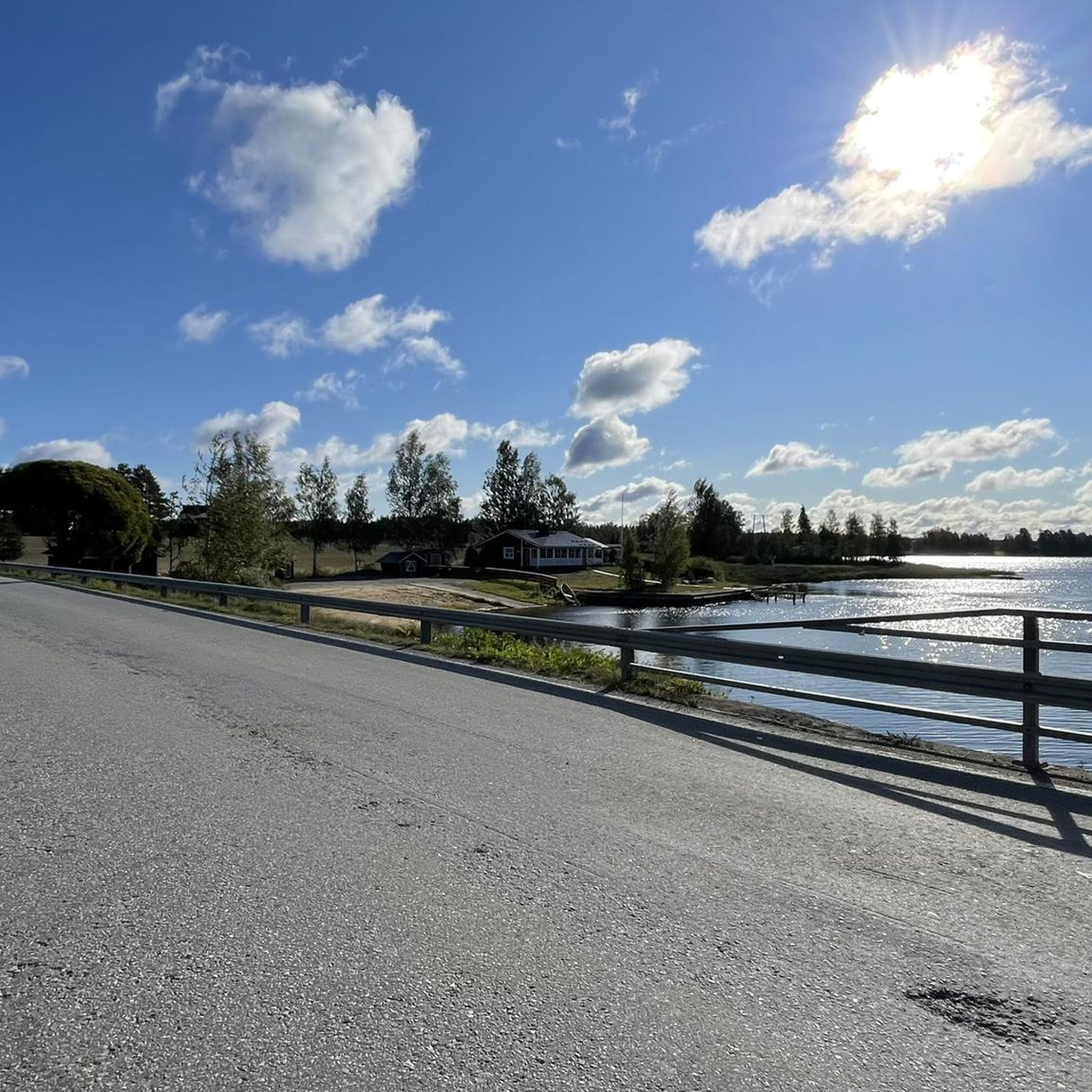
Road Cycling Routes around Kuortaneenjärvi

Road Cycling Routes around Pitkämön tekoallas
Hiking around South Ostrobothnia
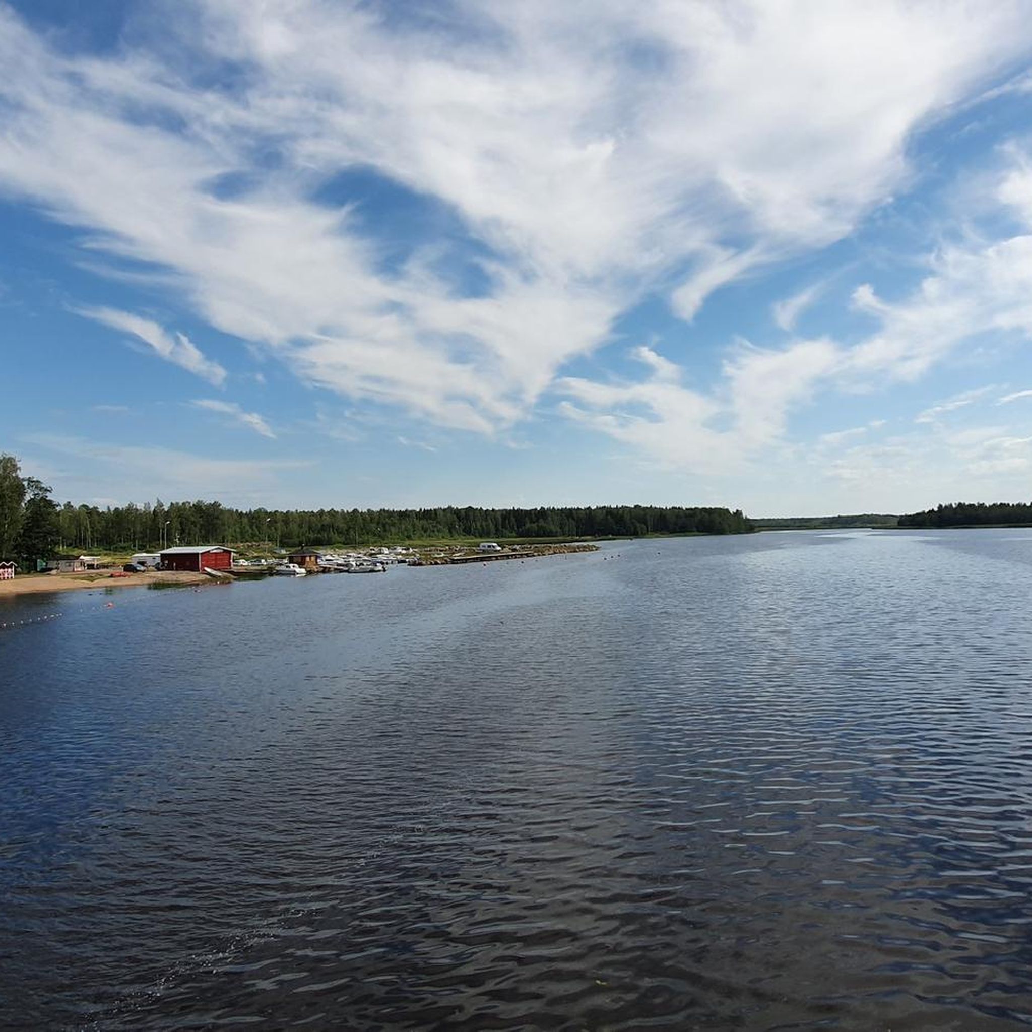
MTB Trails around South Ostrobothnia
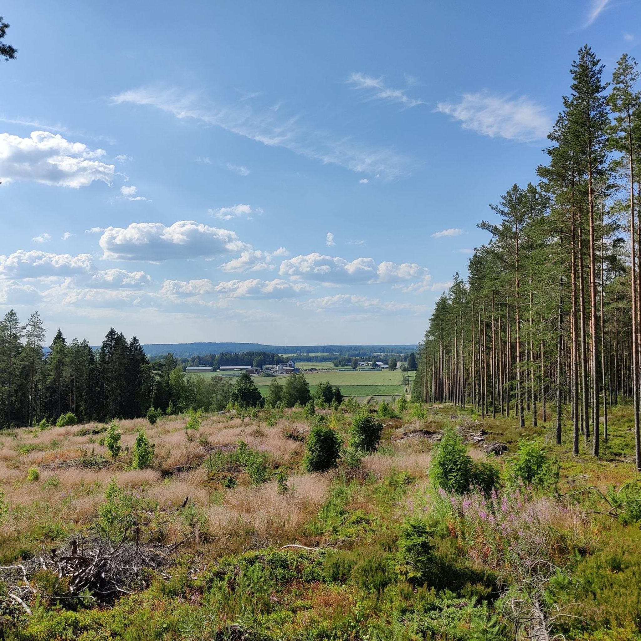
Cycling around South Ostrobothnia
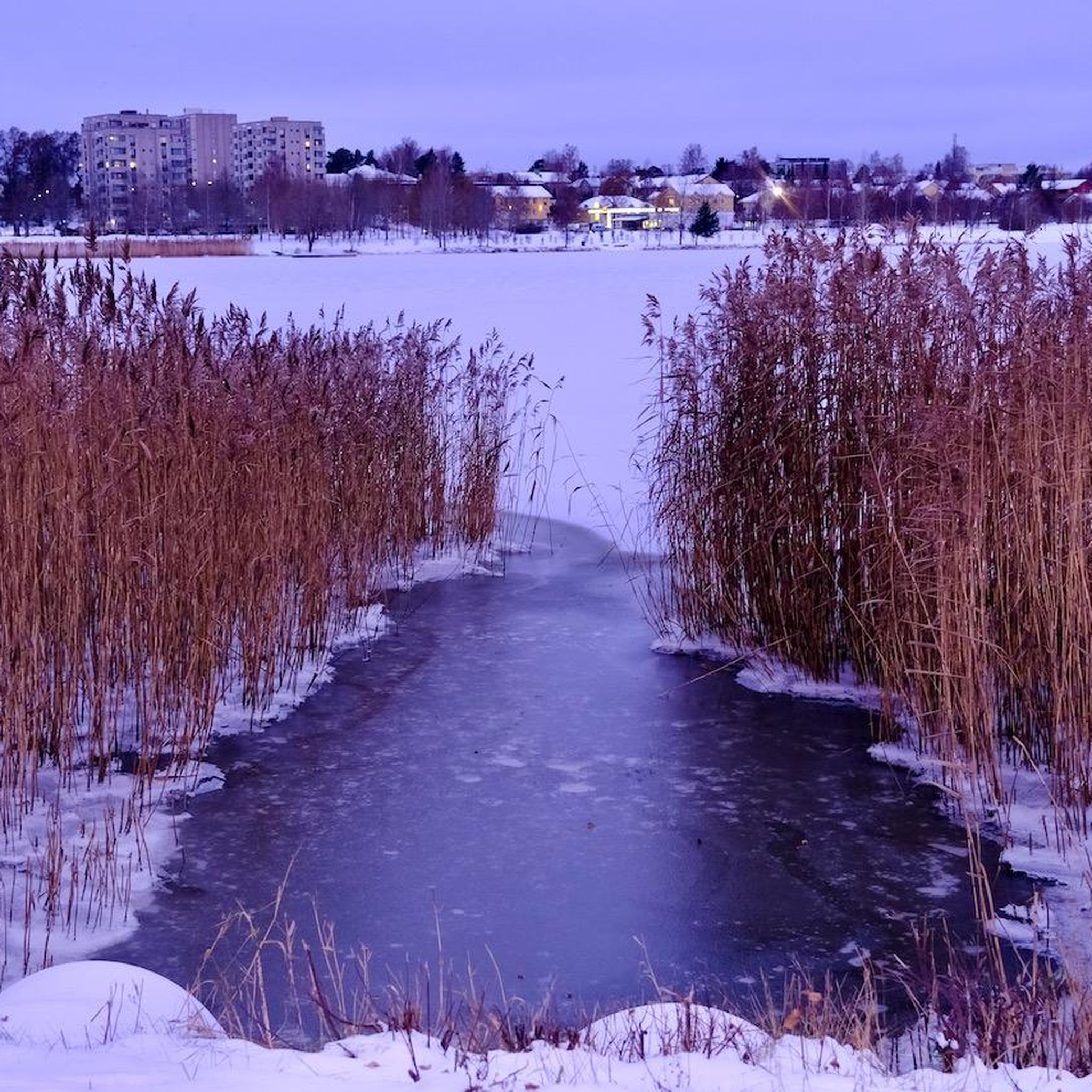
Running Trails around South Ostrobothnia
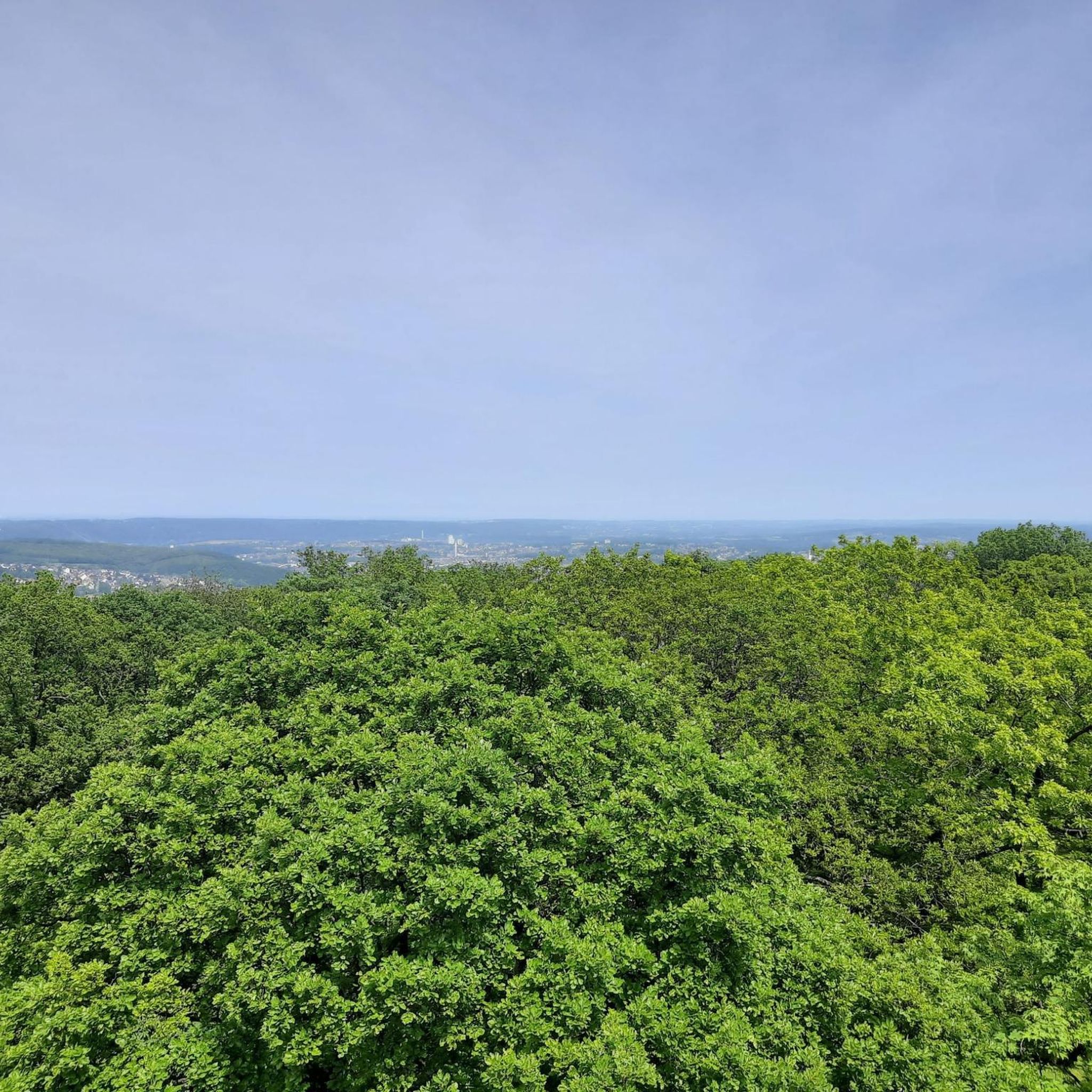
Gravel biking around South Ostrobothnia
Tips from the Community

The Lapuanjoki flows from the lake Sapsalampi near Alavus to the Gulf of Bothnia near Nykarleby, covering a distance of approximately 170 kilometres. It passes through several towns, including Alavus, Lapua, and Alahärmä.
0
0

Regional capital of South Ostrobothnia, Seinäjoki sits on the homonymous river and has a population of around 67.000 people, making it the 13th most populous urban area in Finland.
0
0

you can go here to beg for money
0
0

This bridge is a beautiful stopping point to stop and enjoy the scenery. There's also a small public beach to the south (50-100m) of the bridge and visible from here.
0
0
Frequently Asked Questions
How many road cycling routes are available in South Ostrobothnia?
South Ostrobothnia offers a wide selection of road cycling routes, with over 90 tours available. These routes cater to various preferences, from easy rides to more challenging options.
What kind of terrain can I expect on road cycling routes in South Ostrobothnia?
The region is characterized by its expansive plains and agricultural landscapes, meaning many routes are predominantly flat or gently rolling. However, you can also find routes that traverse significant river valleys, clear lakes, and even some forest sections, offering varied scenery. Routes like the Roadbike loop from Lappajärvi offer some elevation changes.
What is the best time of year for road cycling in South Ostrobothnia?
The best time for road cycling in South Ostrobothnia is typically during the warmer months, from late spring through early autumn (May to September). During this period, the weather is generally pleasant, and the landscapes are vibrant, offering ideal conditions to explore the region's plains, lakes, and river valleys.
Are there road cycling routes suitable for families or beginners?
Yes, South Ostrobothnia has many routes suitable for beginners and families, thanks to its generally flat terrain. There are 23 easy routes available, perfect for a relaxed ride. An example is the From Alahärmä to Ylihärmä loop, which offers a gentle ride through open plains.
Are there circular road cycling routes in South Ostrobothnia?
Many of the road cycling routes in South Ostrobothnia are designed as loops, allowing you to start and end your ride in the same location. Examples include the popular Kela Social Insurance Institution loop from Kitinoja and the Roadbike loop from Myllykylä, both offering scenic circular journeys.
What natural attractions can I see along the road cycling routes?
While cycling, you can explore the region's diverse natural beauty. Highlights include the unique geology and elevated landscapes of Lauhanvuori National Park, the vast mires of Kauhaneva-Pohjankangas National Park, and picturesque clear lakes like Lappajärvi. You might encounter trails such as the Kauhalammi Trail or enjoy views from the Lauhanvuori Observation Tower.
Are there any cultural or historical landmarks along the routes?
Yes, South Ostrobothnia's routes often weave through areas rich in cultural heritage. The Kyrönjoki River valley, a national landscape, offers picturesque routes combining natural beauty with cultural history. You might also pass by historical sites or traditional farmlands, such as those showcased on the Alajoki cultural landscape route. The Isojoki Church is another notable landmark.
Where can I find parking for road cycling routes in South Ostrobothnia?
Parking availability varies by route and starting point. Many routes begin in or near towns and villages where public parking is often available. For routes venturing into national parks or nature reserves, designated parking areas are usually provided. It's advisable to check specific route details for recommended parking locations.
Is public transport available to access road cycling routes in South Ostrobothnia?
Public transport options, such as local buses, connect many of the towns and larger villages in South Ostrobothnia. While direct access to every trailhead might not be possible, you can often reach a starting point within a reasonable cycling distance. For detailed information on regional public transport, it's best to consult local transport authorities or the Visit Seinäjoki Region website.
Are there places to eat or stay near the cycling routes?
Yes, South Ostrobothnia offers various options for refreshments and accommodation. You'll find cafes, restaurants, and shops in the towns and villages along or near many routes. For overnight stays, there are hotels, guesthouses, and cottages available throughout the region. Some routes, like the 'South Ostrobothnian Booze Cruise,' even highlight local craft and brewing establishments.
What do other road cyclists enjoy about the routes in South Ostrobothnia?
The road cycling routes in South Ostrobothnia are highly rated by the komoot community, with an average score of 4.7 stars from over 19 reviews. Cyclists often praise the region's diverse landscapes, from the wide-open plains and agricultural scenery to the serene river valleys and clear lakes. The well-maintained roads and the variety of routes catering to different skill levels are also frequently highlighted.
Can I find routes with some elevation changes for a more challenging ride?
While much of South Ostrobothnia is known for its flat terrain, there are routes that offer more elevation for those seeking a challenge. Areas around Lauhanvuori National Park, for instance, feature some elevated landscapes. Routes like the Kela Social Insurance Institution – Seinäjoki loop from Seinäjoki also provide moderate climbs, with an elevation gain of over 200 meters.
Are there routes that offer views of lakes or river valleys?
Absolutely. South Ostrobothnia is rich in water features. You can find routes that follow the magnificent Kyrönjoki River valley, one of Finland's national landscapes, or circle picturesque lakes. The Roadbike loop from Lappajärvi, for example, allows you to circumnavigate Europe's largest crater lake, offering varied rural landscapes and lakeside breezes.
Most popular routes around South Ostrobothnia
Most popular attractions around South Ostrobothnia

Get inspired with the komoot mobile app


Didn’t find what you were looking for?
Check out more Road cycling routes throughout South Ostrobothnia below and find the perfect route in your destination.
Explore more
Browse the best Road cycling routes in other regions.
