The best hikes from bus stations around South Ostrobothnia
4.1
(41)
850
hikers
74
hikes
Bus station hiking trails around South Ostrobothnia traverse a landscape characterized by vast plains, extensive forests, and numerous rivers and lakes. The region also features unique geological formations, including bogs with boardwalks and low hills offering elevated viewpoints. This diverse terrain provides a range of hiking experiences accessible via public transport.
Best bus station hiking trails around South Ostrobothnia
- The most popular bus station hiking route is Samuli Paulaharju Trail, a 7.5 miles (12.1 km) trail that takes 3…
Last updated: May 24, 2026
7
hikers
12.1km
03:17
160m
160m
Moderate hike. Good fitness required. Mostly accessible paths. Sure-footedness required.
1
hikers
26.2km
06:51
200m
200m
Hard hike. Very good fitness required. Easily-accessible paths. Suitable for all skill levels.

Sign up for free
34
hikers
7.07km
01:49
30m
30m
Easy hike. Great for any fitness level. Easily-accessible paths. Suitable for all skill levels.
5.0
(1)
12
hikers
8.40km
02:12
50m
50m
Moderate hike. Good fitness required. Mostly accessible paths. Sure-footedness required.
11
hikers
4.38km
01:07
10m
10m
Easy hike. Great for any fitness level. Easily-accessible paths. Suitable for all skill levels.
Get access to more routes and recommendations from other explorers.
Sign up for free
Already have an account?
Our route recommendations are based on thousands of hikes, rides, and runs completed by other people on komoot.
Start today with a free account
Your next adventure awaits.
Login or Signup
Popular around South Ostrobothnia

Tips from the Community

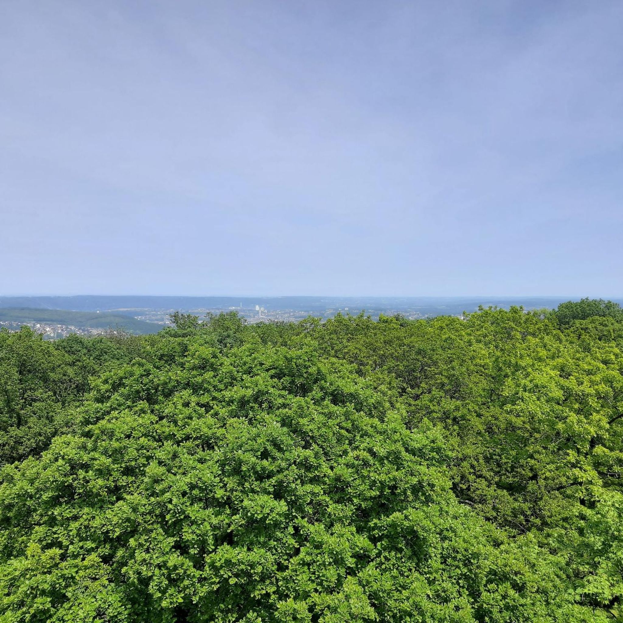
Close to the well-used MTB trails, this area of woodland is agreat place for a hike. Well maintained trails with plenty of amenities nearby.
0
0

Frequently Asked Questions
How many bus-accessible hiking trails are available in South Ostrobothnia?
There are over 75 hiking trails in South Ostrobothnia that are accessible from bus stations. These routes offer a variety of experiences, from easy strolls to more challenging treks through diverse landscapes.
What is the best time of year to go hiking from bus stations in South Ostrobothnia?
South Ostrobothnia offers excellent hiking opportunities throughout the year. Spring is ideal for birdwatching, autumn for vibrant foliage, and even winter provides unique experiences like snowshoeing or cross-country skiing on some trails. Summer is perfect for enjoying the long daylight hours and lush greenery.
Are there easy hiking options accessible by bus in South Ostrobothnia?
Yes, a significant number of bus-accessible trails in South Ostrobothnia are considered easy, with 67 routes falling into this category. These trails are generally well-maintained and suitable for casual walkers or those looking for a relaxed outdoor experience. For example, the Nala loop from Yle Pohjanmaa is an easy option.
Are there more challenging bus-accessible hikes in South Ostrobothnia?
For those seeking a greater challenge, South Ostrobothnia offers several moderate and difficult bus-accessible trails. There are 9 moderate routes and 1 difficult route available. An example of a more demanding trail is the Lake Paalijärvi Hiking Trail, which covers a significant distance and elevation.
Are the bus-accessible hiking trails in South Ostrobothnia suitable for families with children?
Many bus-accessible trails in South Ostrobothnia are family-friendly, offering accessible options and shorter distances. The region features trails like the Accessible Jouppilanvuori Adventure Trail and the Accessible Seinäjoki–Ilmajoki Adventure Trail, which are designed for easier navigation. Shorter routes like the Sahalammen uimaranta loop from Seinäjoki are also great for families.
Can I bring my dog on bus-accessible hiking trails in South Ostrobothnia?
Generally, dogs are welcome on hiking trails in South Ostrobothnia, provided they are kept on a leash and you clean up after them. However, specific rules may vary in national parks or protected areas, so it's always best to check local regulations for the particular trail you plan to visit.
Are there circular hiking routes accessible by bus in South Ostrobothnia?
Yes, South Ostrobothnia features several circular hiking routes that are accessible by bus, allowing you to start and end your hike at the same point. Notable examples from the region include the Terassikierros loop trail in Lauhanvuori National Park and the Katikankanjoni loop trail in Kauhaneva-Pohjankangas National Park. The Taskuvainionpuisto loop from Hallila is another convenient circular option.
What natural attractions can I see along bus-accessible hiking trails in South Ostrobothnia?
Hiking from bus stations in South Ostrobothnia offers access to diverse natural beauty. You can explore the unique geological features of Lauhanvuori National Park, including the Lauhanvuori Observation Tower for panoramic views. The Kauhalammi Trail provides scenic boardwalks through small forests and past the Kauhalammi pond. The region is also known for its mystical bogs and the picturesque Kyrönjoki River Valley.
Are there any interesting landmarks or points of interest near bus-accessible trails?
Beyond natural features, you might encounter cultural or historical points of interest. For example, the historic Kyrönkankaantie Road, now a recreational trail, runs through Kauhaneva-Pohjankangas National Park. While hiking, you might also come across shelters like the Shelter at Spitaalijärvi, offering a place to rest.
What do other hikers enjoy the most about hiking in South Ostrobothnia?
The komoot community highly rates the hiking experience in South Ostrobothnia, with an average score of 4.2 stars. Reviewers often praise the region's tranquil natural environment, the variety of landscapes from forests to bogs, and the well-maintained trails that cater to different skill levels. The accessibility of trails from bus stations is also frequently highlighted as a major convenience.
Are there any long-distance bus-accessible trails in South Ostrobothnia?
Yes, for those looking for longer adventures, South Ostrobothnia offers several extended trails. The 45 km Kurjenkierros (Crane's Path) in the Levaneva Nature Reserve is a lengthy option. In Lauhanvuori National Park, you can combine trails like the Terassikierros with the Lauhanvuorenkierros for a roughly 30 km lap. The Samuli Paulaharju Trail is another substantial route, covering over 12 km.
Most popular routes around South Ostrobothnia
Most popular attractions around South Ostrobothnia

Get inspired with the komoot mobile app


Didn’t find what you were looking for?
Check out more Hikes throughout South Ostrobothnia below and find the perfect route in your destination.
Explore more
Browse the best Hikes in other regions.
