The best walks and hikes around Santa Marta De Penaguião
4.4
(270)
1,250
hikers
55
hikes
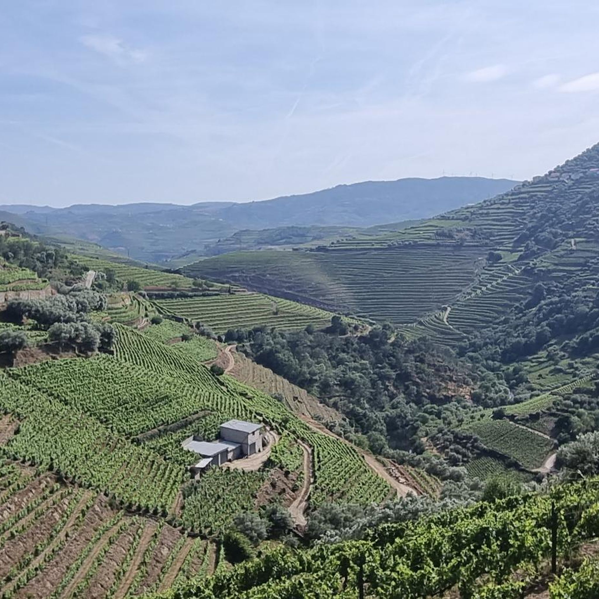
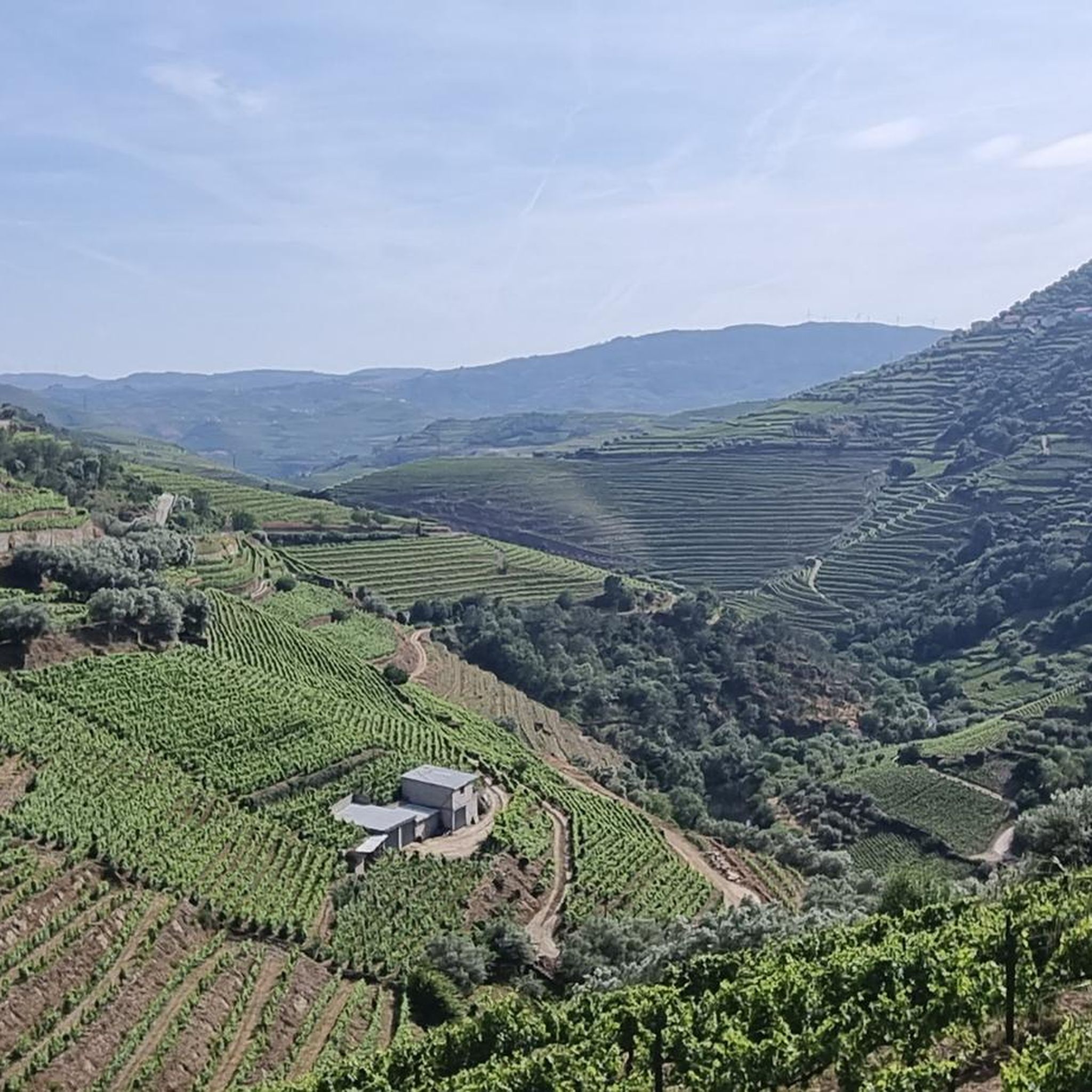
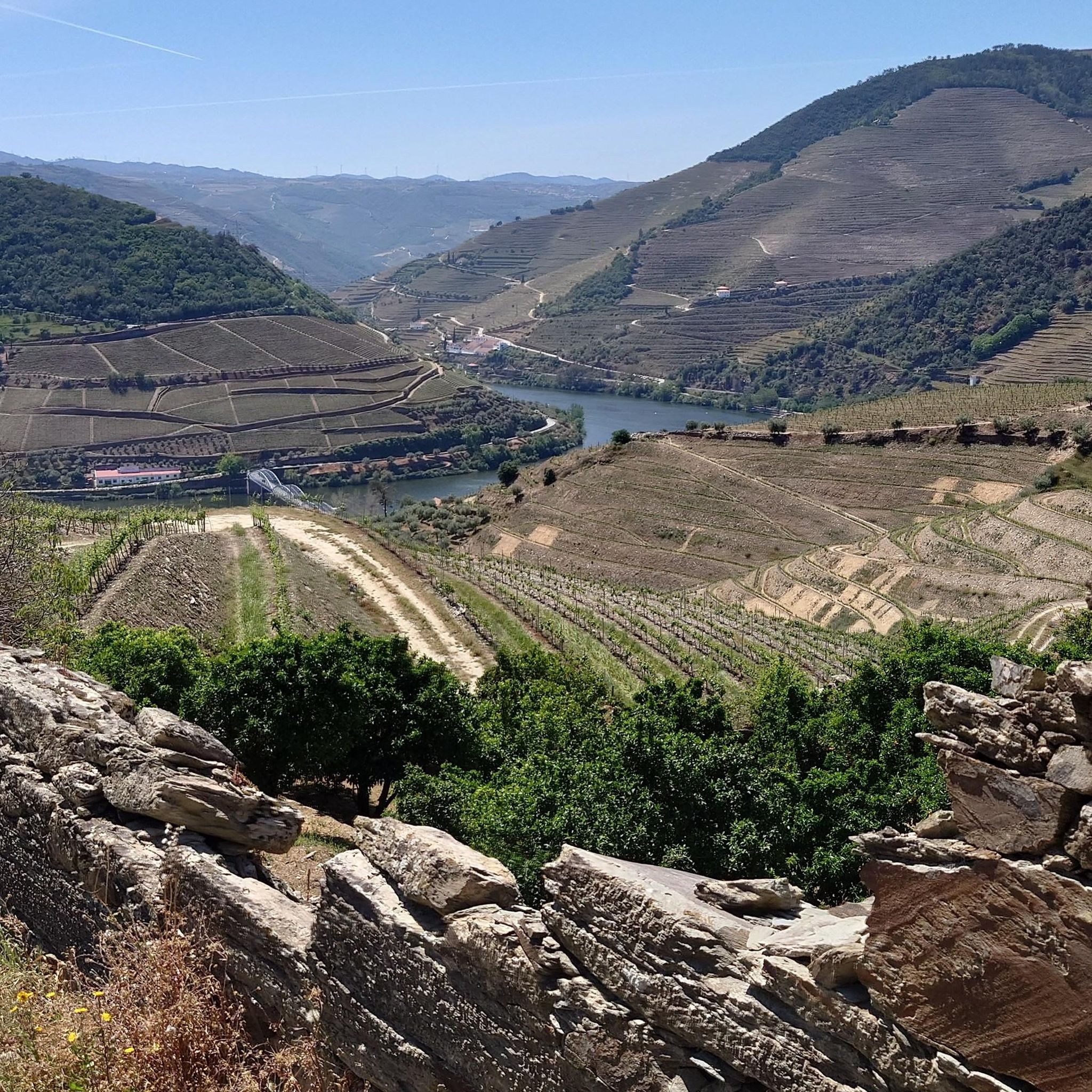
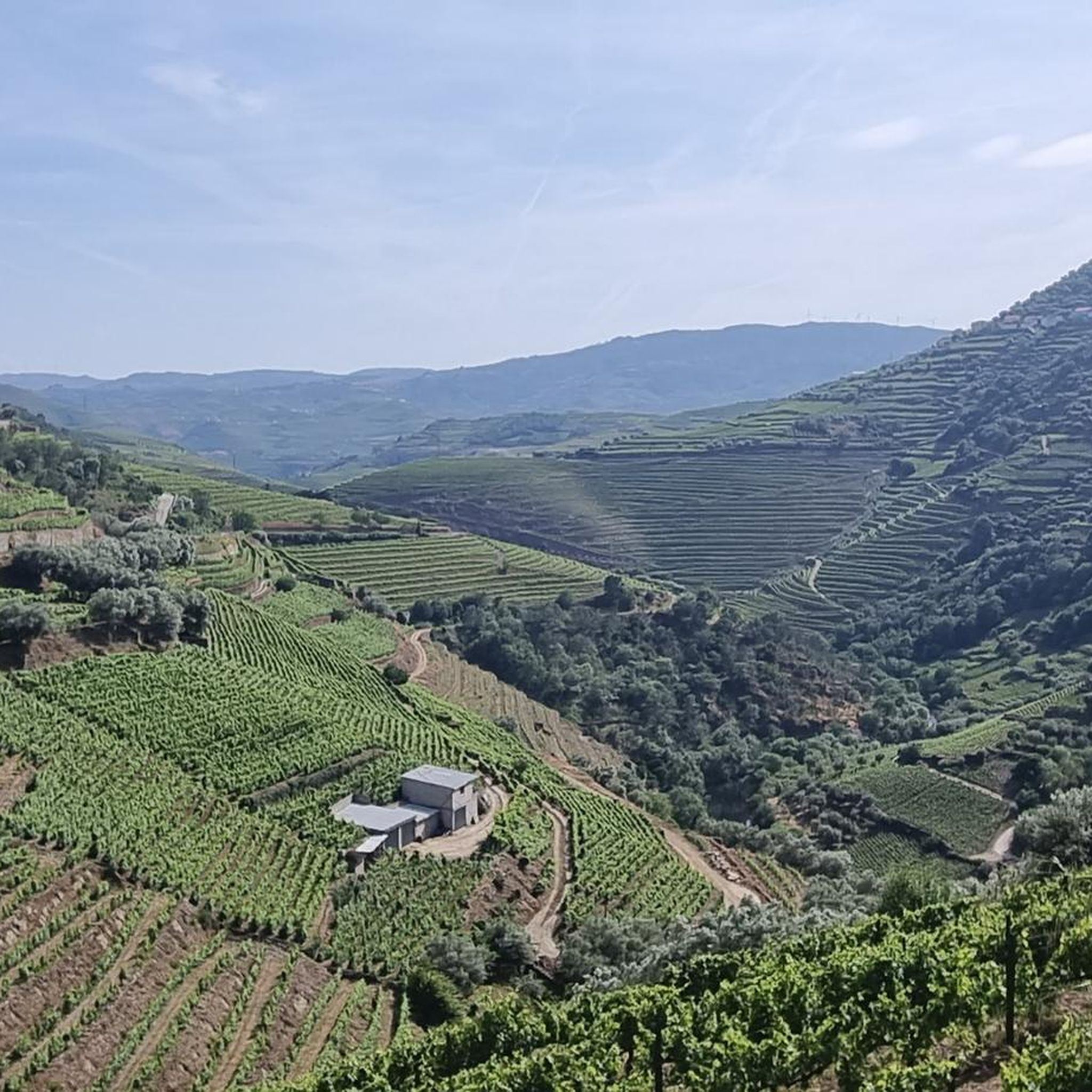
Hiking around Santa Marta De Penaguião offers diverse natural landscapes within the Alto Douro Wine Region, a UNESCO World Heritage site. The terrain is characterized by magnificent terraced vineyards, granite mountain ranges of the Serra do Marão, and deep valleys. Trails often follow riverside paths and wind through varied flora including hazel, chestnut, pine, and oak trees.
Best hiking trails around Santa Marta De Penaguião
- The most popular hiking route is Régua and the Douro River – Régua Pedestrian Bridge…
Last updated: May 19, 2026
3.4
(13)
103
hikers
Easy hike. Great for any fitness level. Easily-accessible paths. Suitable for all skill levels.
3.8
(5)
32
hikers
10.7km
03:23
400m
400m
Moderate hike. Good fitness required. Easily-accessible paths. Suitable for all skill levels.

Sign up for free
4.3
(6)
36
hikers
3.27km
00:58
90m
90m
Easy hike. Great for any fitness level. Easily-accessible paths. Suitable for all skill levels.
4.3
(7)
36
hikers
Easy hike. Great for any fitness level. Easily-accessible paths. Suitable for all skill levels.
3.0
(2)
11
hikers
Easy hike. Great for any fitness level. Easily-accessible paths. Suitable for all skill levels.
Get access to more routes and recommendations from other explorers.
Sign up for free
Already have an account?
Our route recommendations are based on thousands of hikes, rides, and runs completed by other people on komoot.
Start today with a free account
Your next adventure awaits.
Login or Signup
Tips from the Community

The parking area for motorhomes directly on the Douro River
1
0

The building was built in 1910. It was designed by the architect José Marques da Silva. The building is in the Portuguese Modern style, with Neo-Renaissance influences. It is known for its decorative tiles and elaborately designed façade.
0
0

This highlight is located in Peso da Régua and NOT in Lisbon. Please don't be confused by the misleading comment below. The same goes for the numerous photos, none of which belong here.
2
0

The station is so run-down that it's almost in working order again. Old railway vehicles (burned-out steam locomotives and old wagons) are scattered around the large grounds. There are also many disused tracks, including turntables. At the end of the station, the former storage sheds have been converted into wine shops and restaurants.
2
0
A worthwhile museum, which scores points despite/or because of its very minimalist presentation of the subject matter. At the end, enjoy a port wine on the terrace of the museum's café.
1
0
The bridge is really well-made. The view from the bridge is beautiful, even though there's still a lot that could be done with the buildings at the end.
2
0
The Casa do Douro was established in 1932 as the Douro Winemakers' Union Federation. Its headquarters, dating from 1944, with its exterior clad in polished granite, was designed by Portuguese architect José Porto. Inside, noteworthy are the stained-glass window by painter Lino António and the grand hall, with three central crystal chandeliers, shaped like clusters and weighing over a ton, as well as the Pombaline marker identified with the number 1. When the Douro region was first demarcated, 331 granite markers were placed. The Pombaline markers (so named because the demarcation was designed by the Marquis of Pombal) are all different and share the word Feitoria (vinho de feitoria, synonymous with better-quality wine) and the year (1758 or 1761). At the time, wines were classified according to their quality and destination. The best wine, known as Vinho de Feitoria, was sent to England; Vinho de Embarque was exported to Brazil; and Vinho de Ramo was sold in Portugal. The stained glass window of the Casa do Douro, by painter Lino António, encapsulates the entire dynamic of the Douro Demarcated Region. It covers an area of 50m2 and forms a triptych. In the center panel, we see three large figures. The central figure represents the Casa do Douro and holds a scroll that reads "... Casa do Douro, decree 21,883, November 1932." This means that the government, through the aforementioned Decree-Law, created the Union Federation of Winegrowers of the Douro Region in November 1932, now known as Casa do Douro.
1
0
The monument to Gago Coutinho and Sacadura Cabral in Lisbon was erected in honor of their joint crossing of the South Atlantic route by air. Coutinho and Cabral were the first to complete this journey. They flew from Lisbon to Rio de Janeiro, Brazil, in 1922. Gago Coutinho's account of the flight, along with other documents, was declared a UNESCO World Heritage Site in 2010. You can see the monument to the two adventurers in the Belém district, just a few meters from Lisbon's landmark, the Torre de Belém. It is a remarkable replica of the aircraft used in the successful Atlantic crossing.
1
2
Frequently Asked Questions
How many hiking trails are available in Santa Marta De Penaguião?
There are over 50 hiking routes documented on komoot for Santa Marta De Penaguião, offering a wide variety of experiences for all skill levels.
What kind of landscapes can I expect to see while hiking in Santa Marta De Penaguião?
Hikers in Santa Marta De Penaguião will be immersed in the stunning terraced vineyards of the Alto Douro Wine Region, a UNESCO World Heritage site. You'll also encounter the granite peaks of the Serra do Marão, deep valleys, and diverse flora including hazel, chestnut, pine, and oak trees. Many trails offer panoramic views of these unique landscapes.
Are there any easy hiking trails suitable for beginners or a relaxed walk?
Yes, Santa Marta De Penaguião offers several easy trails. For a pleasant riverside experience, consider the Régua and the Douro River – Régua Riverside Promenade loop from Peso da Régua, an easy 3.5 km path. Another option is the Régua and the Douro River – Régua Pedestrian Bridge loop from Godim, which is 6.0 km long and also considered easy.
What are some moderate hiking options with good views?
For a moderate challenge with expansive vistas, the Régua and the Douro River – Douro view loop from Régua is an excellent choice. This 10.5 km route features significant elevation changes, rewarding hikers with magnificent views of the Douro landscape. The municipal PR2 – Trail of the Beautiful Views (Trilho das Belas Vistas) is also known for its stunning vistas, including ascents to the Chapel of Our Lady of Viso.
Are there any circular hiking routes in the area?
Yes, many trails in Santa Marta De Penaguião are circular. For example, the Régua and the Douro River – Régua Pedestrian Bridge loop from Godim is a popular circular route. The municipal PR1 – Earth and Sky Trail (Trilho da Terra e do Céu) is also a circular trail, approximately 7.2 km long, offering significant elevation changes and stunning views.
What natural attractions or landmarks can I see along the hiking trails?
Hikers can discover several natural attractions. You might encounter the View of the Douro Valley, the serene Gregos Waterfall, or walk through the tranquil Cedar Tree Tunnel. The region also features the imposing Serra do Marão, offering breathtaking panoramic views from viewpoints like the Miradouro da Senhora da Serra.
What do other hikers enjoy most about the trails in Santa Marta De Penaguião?
The trails in Santa Marta De Penaguião are highly rated by the komoot community, with an average score of 4.4 stars from over 260 reviews. Hikers frequently praise the stunning terraced vineyard landscapes, the challenging yet rewarding ascents in the Serra do Marão, and the diverse natural beauty found along the paths.
Are there any historical or cultural points of interest to explore?
Absolutely. The region is rich in cultural and historical heritage. The municipal PR7 – Santa Marta Trail (Trilho de Santa Marta) showcases beautiful vineyard landscapes and highlights the region's wine heritage, including the Chapel of Santa Marta. You can also visit traditional villages like Paradela do Monte and explore various chapels and viewpoints scattered throughout the municipality.
Are there any trails that pass by water features or river beaches?
While Santa Marta de Penaguião is north of the Douro River, some trails follow riverside paths. The Fornelos River Beach offers opportunities for relaxation amidst nature. The Régua Riverside Promenade – Casa do Douro (House of the Douro) loop from Peso da Régua is an easy trail that leads through riverside areas.
What is the best time of year for hiking in Santa Marta De Penaguião?
The region's diverse flora and vineyard landscapes make it appealing throughout much of the year. Spring and autumn generally offer pleasant temperatures and vibrant scenery, with the vineyards changing colors. Summers can be warm, but early mornings or late afternoons are still suitable for hiking. Winter offers a different, often quieter, experience.
What kind of terrain should I expect on the trails?
The terrain in Santa Marta De Penaguião is varied. You'll find paths winding through terraced vineyards, along riverbanks, and ascending into the granite mountain ranges of the Serra do Marão. Expect a mix of well-trodden paths, some steeper sections with significant elevation changes, and trails through forests of hazel, chestnut, pine, and oak.
Most popular routes around Santa Marta De Penaguião
Most popular attractions around Santa Marta De Penaguião

Get inspired with the komoot mobile app


Explore more
Browse the best Hikes in other regions.
