The best running trails around Marklohe
4.1
(11)
216
runners
40
runs
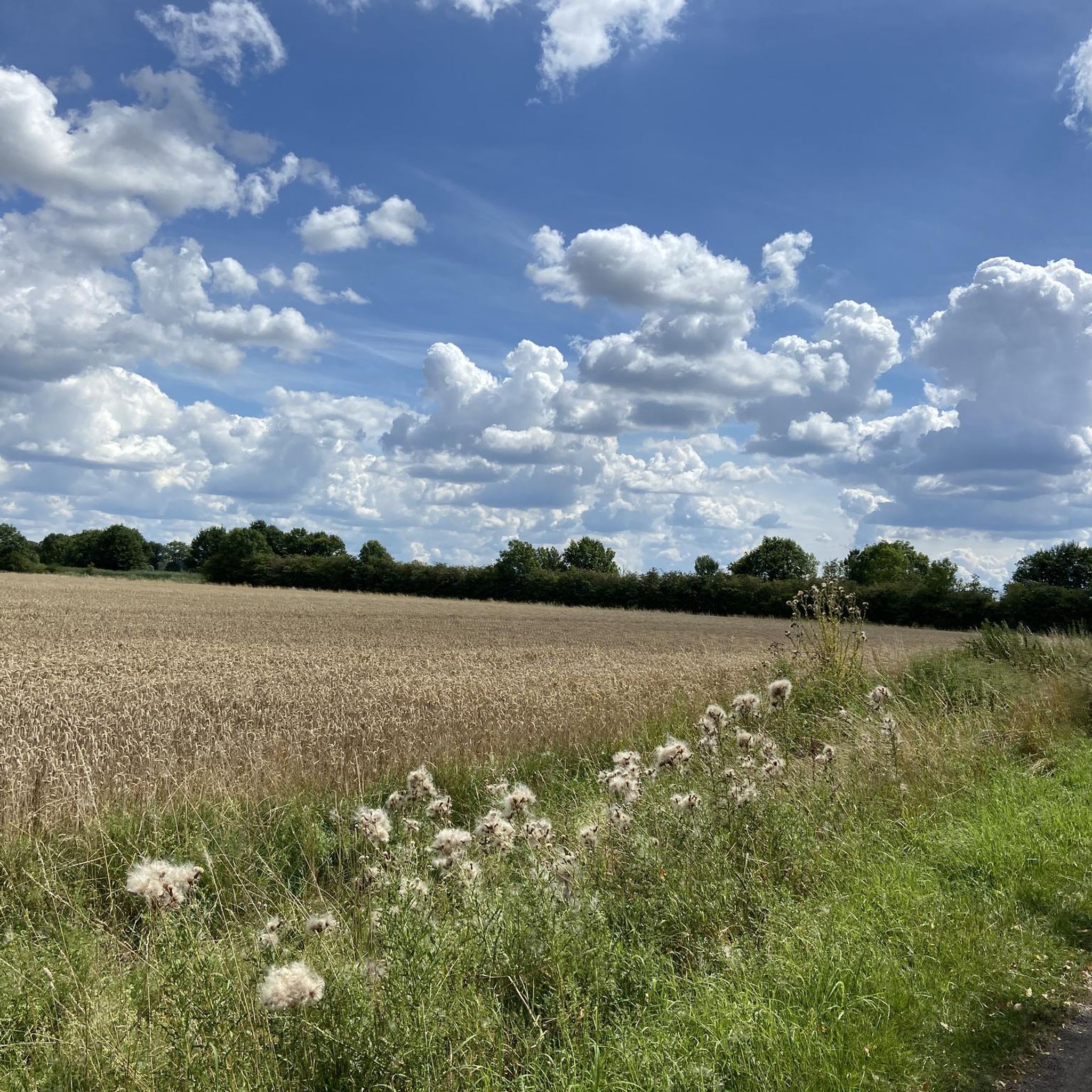
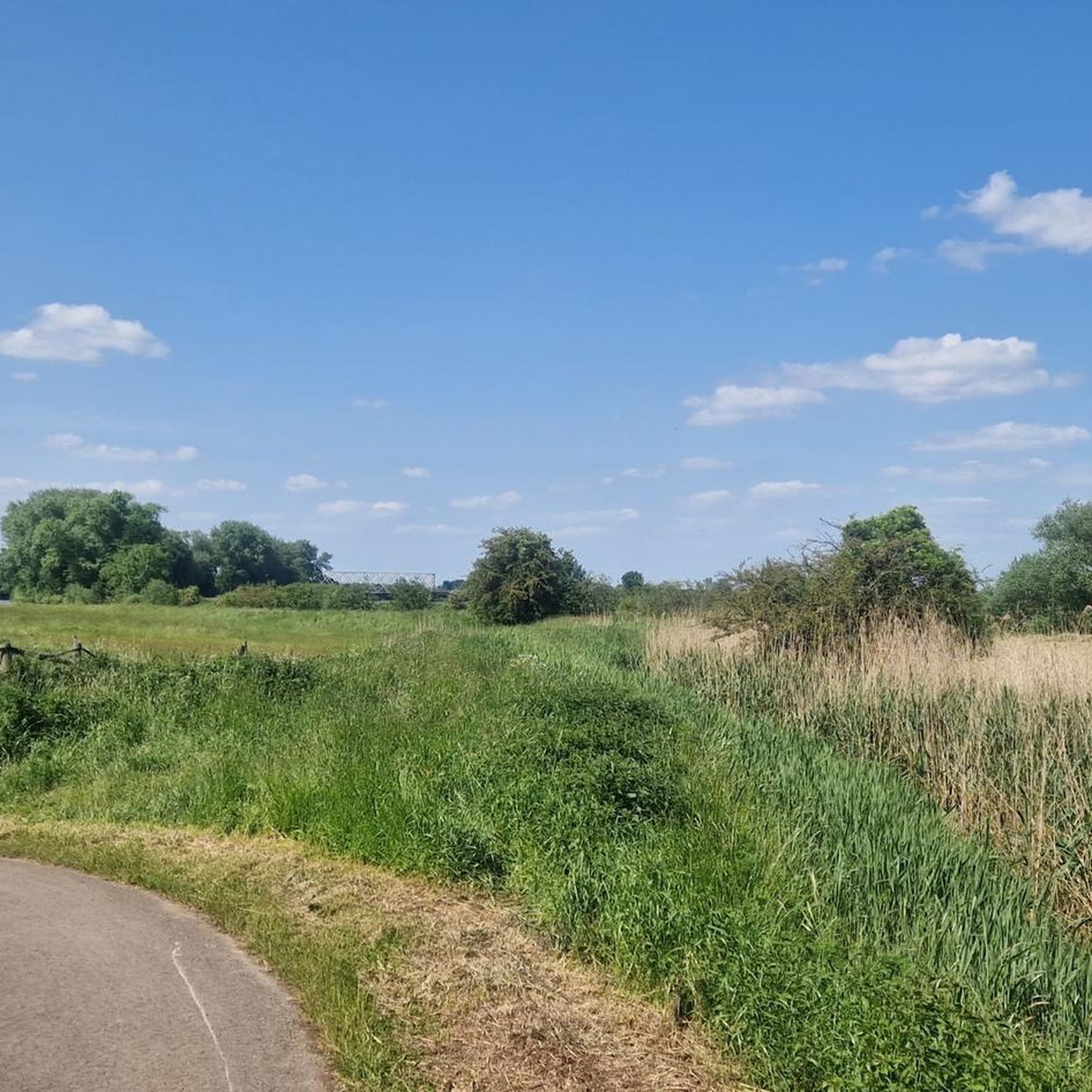
Jogging around Marklohe offers opportunities to explore the flat to gently rolling terrain characteristic of the North German Plain. The region is shaped by the Weser River, providing scenic routes along its banks and through its lowlands. This landscape composition makes for comfortable running conditions, with expansive views of the natural environment.
Best jogging routes around Marklohe
- The most popular jogging route is View of Lake Rolle loop from Marklohe, a 11.2 miles (18.0 km) trail that takes 2…
Last updated: July 25, 2026
5.0
(4)
17
runners
18.0km
02:00
50m
50m
Hard run. Very good fitness required. Mostly paved surfaces. Suitable for all skill levels.
15
runners
16.3km
01:46
60m
60m
Hard run. Very good fitness required. Mostly paved surfaces. Suitable for all skill levels.

Sign up for free
8
runners
9.46km
01:03
60m
60m
Moderate run. Good fitness required. Mostly paved surfaces. Suitable for all skill levels.
7
runners
12.9km
01:26
30m
30m
Moderate run. Good fitness required. Mostly paved surfaces. Suitable for all skill levels.
8
runners
3.73km
00:24
10m
10m
Easy run. Great for any fitness level. Mostly paved surfaces. Suitable for all skill levels.
Get access to more routes and recommendations from other explorers.
Sign up for free
Already have an account?
Our route recommendations are based on thousands of hikes, rides, and runs completed by other people on komoot.
Start today with a free account
Your next adventure awaits.
Login or Signup

Tips from the Community

Open on Friday and Saturday. Delicious cake.
0
0

The glacial erratics from Småland in Nienburg/Weser are impressive relics of a natural history dating back tens of thousands of years. These large, often smoothly polished boulders originally came from the southern Swedish region of Småland and were transported to northern Germany by mighty glaciers during the last Ice Age. As the ice sheet slowly moved south, it tore rocks from the Scandinavian bedrock and carried them over long distances. When the ice melted, these so-called erratics were left behind in the landscape – far from their place of origin. Such glacial erratics, which can be geologically clearly attributed to Sweden, can also be found in Nienburg. Their composition, such as granite or gneiss, as well as characteristic structures, allow conclusions to be drawn about their Småland origin. They thus vividly illustrate the immense forces of the Ice Age and demonstrate how profoundly glaciers shaped the landscape we see today. The glacial erratics are silent witnesses to history, forging a connection between the Nienburg region and Scandinavia. Beyond their geological significance, these erratics also play a cultural and design role. In Nienburg, they are deliberately used as striking elements in the cityscape and green spaces, serving simultaneously as a starting point for environmental education and the preservation of historical memory.
1
0
The Weser port of Nienburg is closely linked to the city's economic and urban development and exemplifies the importance of the Weser River as a transport and trade route. Nienburg recognized its advantageous location on a navigable stretch of the river early on, leveraging its role in transporting goods and conducting trade. The port evolved as a transshipment point between river shipping and the hinterland, contributing significantly to the city's prosperity. The Weser port experienced a period of great importance, particularly in the 19th and early 20th centuries. Agricultural products, building materials, timber, and other goods were loaded and transported here. The port was a major employer and a vibrant hub where ship owners, merchants, and craftsmen converged. Simultaneously, it shaped the city's image as a confident Weser River trading center. With the transformation of transportation structures and the increasing importance of road and rail, the Weser port gradually lost its central economic function during the 20th century. Nevertheless, it has been preserved as an important infrastructural and historical site. Parts of the port area were transformed into areas for leisure, recreation and urban use, while the proximity to the Weser river remained a defining feature.
1
0

The small inland harbor is located on the Weser River, with moorings for smaller ships and boats and adjacent green spaces. The area is easily accessible via the Weser Cycle Path and offers a short, worthwhile detour to the waterfront—with views of the quiet harbor activity and the scenic riverside area.
0
0

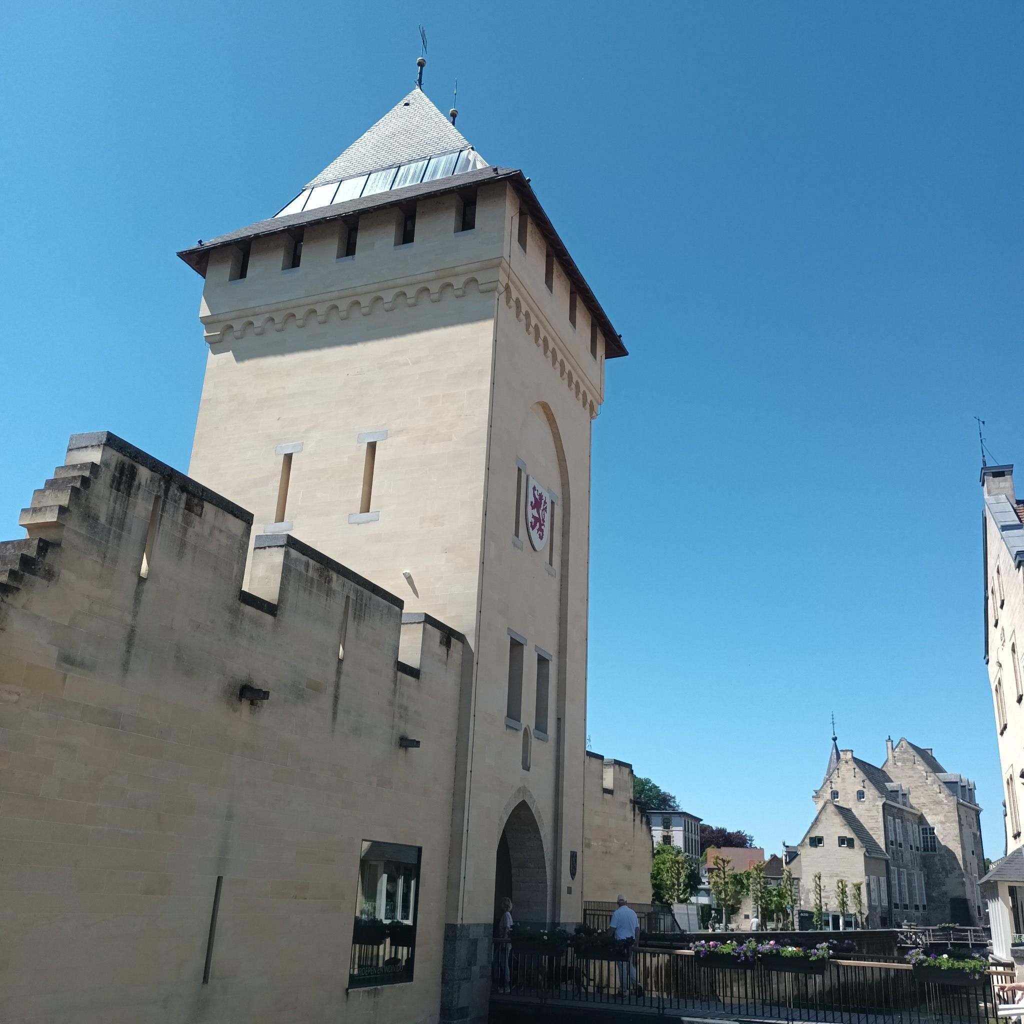
The town hall is one of the oldest and most impressive buildings in the city. The first town hall tower, featuring a bell, was built in 1614. It received its current form in 1778/79 and was renovated in 2012.
3
0

Nienburg offers two absolute highlights. It begins and ends with an almost medieval town, and to the west of the town, on the Weser River, lies a nature reserve of renaturalized gravel pits, which is truly something special. This area is worth a visit at any time of year.
2
1

Also great and interesting is the Lower Saxony Police Museum at Lange Str. 20.
3
1

Frequently Asked Questions
How many running routes are available around Marklohe?
Marklohe offers a diverse network of over 40 running routes, catering to various fitness levels and preferences. These trails are highly rated by the komoot community, with an average score of 4.2 stars.
Are there easy jogging routes suitable for beginners or a relaxed run?
Yes, Marklohe has several easy jogging routes. For a shorter, more relaxed run, consider the Running loop from Oyle, which is just under 4 kilometers and features minimal elevation changes.
What kind of terrain can I expect on the running trails in Marklohe?
The running trails in Marklohe are primarily characterized by the flat to gently rolling terrain of the North German Plain. Many routes follow the scenic Weser River and its lowlands, offering comfortable running conditions with expansive natural views.
Are there any circular running routes in the Marklohe area?
Many of the running routes around Marklohe are designed as loops, providing a convenient way to start and finish at the same point. An example is the moderate Lemker Marsch loop from Marklohe, which is about 13 kilometers long.
Can I find running routes that pass by interesting landmarks or natural features?
Absolutely. The region offers routes that combine natural beauty with points of interest. For example, the difficult Nienburg Market Square – Nienburg Town Hall loop from Marklohe takes you through Nienburg's historic areas, allowing you to see charming half-timbered houses and the idyllic market square. You might also encounter natural monuments like the Drakenburg Marsh Nature Reserve or the Die Rolle lake on other routes.
Are there any running trails suitable for families with children?
While specific 'family-friendly' designations aren't always explicit for running, the numerous easy and moderate routes with flat terrain along the Weser River or through local parks are generally suitable for families. Look for shorter loops with minimal elevation for a comfortable experience with children.
What do other runners say about the trails in Marklohe?
The running routes in Marklohe are highly regarded by the komoot community, boasting an average rating of 4.2 stars from over 10 reviews. Runners often praise the scenic views along the Weser River, the well-maintained paths, and the variety of routes available for different skill levels.
Are there running routes with cafes or places to stop for refreshments nearby?
Yes, some routes offer convenient access to refreshments. The Ahburs Schüne Farm Café loop from Marklohe is a moderate 9.5-kilometer trail that leads through the countryside and passes by a farm café, perfect for a post-run treat.
Can I bring my dog on the running trails in Marklohe?
Many natural trails and paths in the Marklohe region are generally dog-friendly, provided dogs are kept on a leash and owners clean up after them. It's always advisable to check local signage for any specific restrictions in nature reserves or protected areas.
What is the best time of year to go running in Marklohe?
Marklohe offers enjoyable running conditions throughout much of the year. Spring and autumn provide pleasant temperatures and beautiful scenery. Summer can be great, especially along the shaded river banks, while winter running is possible, though some paths might be affected by weather conditions. The diverse natural experiences of the nearby Steinhuder Meer Nature Park also vary seasonally.
Are there any challenging running routes for experienced runners?
Yes, for experienced runners seeking a challenge, Marklohe offers several difficult routes. The View of Lake Rolle loop from Marklohe is a demanding 18-kilometer trail that provides a robust workout through the local landscape.
Most popular attractions around Marklohe

Get inspired with the komoot mobile app


Explore more
Browse the best Running Trails & Routes in other regions.
