The best walks and hikes around Bubwith
4.2
(143)
1,143
hikers
94
hikes
Hikes around Bubwith explore a landscape of predominantly flat agricultural fields and quiet woodlands. The region is defined by the meandering River Derwent and a network of disused railway lines, which now serve as accessible walking paths. This gentle terrain makes the area suitable for a wide range of walking abilities.
Best hiking trails around Bubwith
- The most popular hiking route is Barmby Barrage – Wetland Area loop from Barmby on the Marsh, a 5.4 mile (8.8 km) trail that takes about 2 hours 15 minutes to complete. The route follows paths through a wetland area near the River Derwent.
- Another top favourite among local hiking enthusiasts is Southwood Drain – Common End Plantation loop from Bubwith, a moderate 7.3 mile (11.7 km) path. This route combines sections along drainage canals with trails through the Common End Plantation.
- Local hiking enthusiasts also love the Southwood Drain loop from Bubwith, a 2.1 mile (3.4 km) trail leading through open fields, often completed in about 50 minutes.
- Hiking around Bubwith is defined by riverside paths, disused railway lines, and quiet country lanes through agricultural land. The network of trails offers options for different ability levels, from short, easy walks to longer moderate routes.
- The routes in Bubwith are highly rated by the komoot community with an average score of 4.2 stars from more than 90 reviews. More than 900 hikers have used komoot to explore Bubwith's varied terrain.
Last updated: September 28, 2026
3.0
(1)
16
hikers
3.81km
00:57
0m
0m
Easy hike. Great for any fitness level. Easily-accessible paths. Suitable for all skill levels.
4.0
(1)
14
hikers
16.6km
04:11
20m
20m
Moderate hike. Good fitness required. Easily-accessible paths. Suitable for all skill levels.

8
hikers
8.86km
02:14
10m
10m
Moderate hike. Good fitness required. Easily-accessible paths. Suitable for all skill levels.
7
hikers
3.48km
00:53
0m
0m
Easy hike. Great for any fitness level. Easily-accessible paths. Suitable for all skill levels.
6
hikers
3.38km
00:51
10m
10m
Easy hike. Great for any fitness level. Easily-accessible paths. Suitable for all skill levels.
Get access to more routes and recommendations from other explorers.
Already have an account?
Our route recommendations are based on thousands of hikes, rides, and runs completed by other people on komoot.
Start today with a free account
Your next adventure awaits.
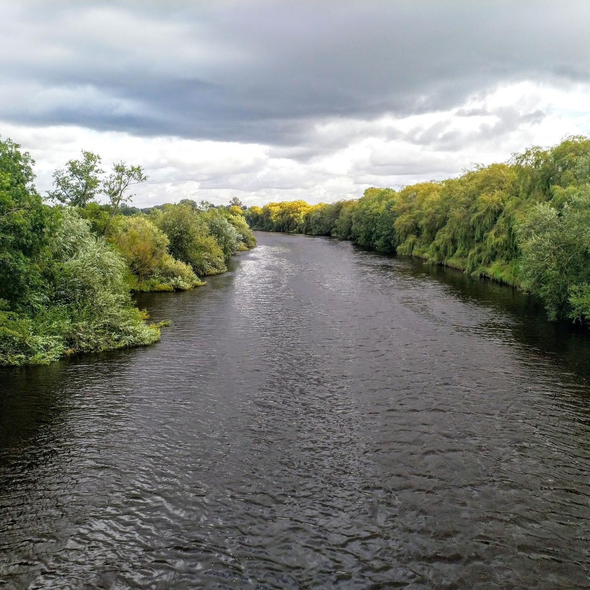
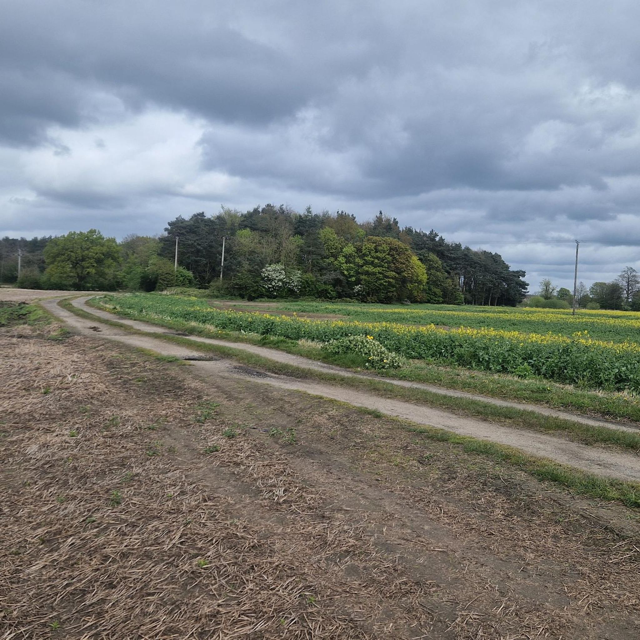

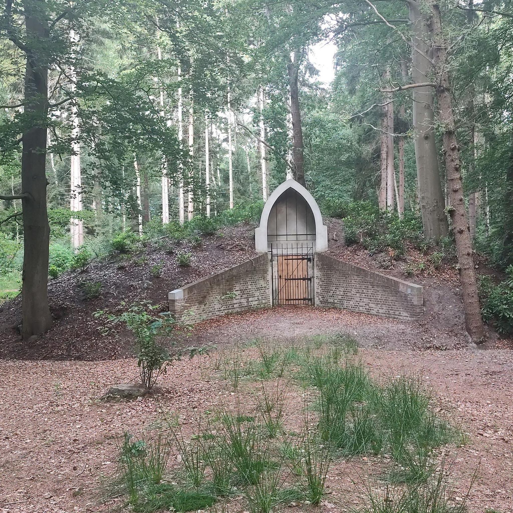
Tips from the Community

Part of the long-gone Selby to Driffield line that formed part of a railway which connected the East Coast Main Line and the Yorkshire Coast Line. It crossed largely flat terrain and the Yorkshire Wolds and serviced the towns of Selby, Market Weighton, and Driffield. The line closed for regular passenger traffic on 20 September 1954, but a service of one regular non-stop train each way plus occasional summer excursions ran until June 1965. The line was abandoned after the last freight train ran later that year.
1
0
Off-road parking, could easily fit 10-12 or so cars in here.
2
0
Smaller parking area, with space for around half a dozen cars or so.
2
0


This rest area is located next to the Barmby Barrage
1
0
take binoculars with you
0
0

Barmby Barrage was constructed in 1975 to stop the saline and sediment rich waters of the River Ouse from contaminating the clear and fresh waters of the River Derwent. It's a picturesque spot to stop for a snack in its picnic area.
2
0
Frequently Asked Questions
Are there many circular walks available around Bubwith?
Yes, the area is well-suited for circular walks. Many routes combine sections of the disused railway lines with paths along the River Derwent and quiet country lanes. For a longer, moderate circular hike, consider the Barmby Barrage – Wetland Area loop from Wressle, which offers a comprehensive tour of the local landscape.
What is the terrain like for hiking in the Bubwith area?
The landscape around Bubwith is predominantly flat, featuring agricultural fields, quiet woodlands, and paths along the River Derwent. This gentle topography makes it very accessible for most fitness levels. The trails mainly consist of grassy footpaths, old railway lines, and country lanes, with very little elevation change.
Are the hiking trails near Bubwith suitable for dog walking?
Yes, many trails in the area are great for walking with dogs. The Bubwith Old Railway Path is a popular choice for dog walkers due to its flat, easy-to-follow surface. As many paths cross agricultural land, it's recommended to keep dogs on a lead, especially where livestock may be present.
Can I find any family-friendly walks around Bubwith?
Absolutely. The flat terrain and numerous shorter routes make Bubwith ideal for family outings. The Hiking loop from North Duffield is an easy and relatively short option, perfect for a leisurely walk with children. The disused railway trail is also a safe, traffic-free choice for families.
Where are the best places for wildlife and nature walks?
For nature enthusiasts, the area is a real treat. The trails are close to the Lower Derwent Valley National Nature Reserve, a vital habitat for breeding and wintering birds. Another fantastic spot is the nearby Skipwith Common National Nature Reserve, a highly-regarded expanse of lowland heath and woodland. For more information on the region's reserves, you can consult the government's publication on East Riding of Yorkshire's National Nature Reserves.
What is the Bubwith Rail Trail?
The Bubwith Rail Trail, also known as the Bubwith Old Railway Path, is a popular walking and cycling route that follows the course of a disused railway line. It's a flat, well-maintained path that offers a peaceful journey through the countryside, passing remnants of the old railway infrastructure.
Where can I park for walks starting in Bubwith?
There is generally on-street parking available within the village of Bubwith, which serves as a convenient starting point for many local routes, including the Rail Trail. It's always advisable to park considerately, respecting local residents and ensuring access is not blocked.
Are there any pubs or cafes near the walking routes?
Yes, the village of Bubwith itself has amenities where you can find refreshments before or after your hike. Many walkers enjoy planning their routes to start or end in the village to take advantage of a local pub or cafe.
What do other hikers think of the trails around Bubwith?
The trails around Bubwith are well-regarded by the komoot community, with an average rating of 4.2 stars. Hikers often praise the peaceful atmosphere, the flat and accessible paths, and the beautiful scenery along the River Derwent and through the surrounding nature reserves.
Are there any woodland walks in the area?
While the area is known more for its open fields and riverside paths, you can find walks that incorporate sections of woodland. The Southwood Drain – Common End Plantation loop from Bubwith is a great example, combining trails through open country with a pleasant stretch through the Common End Plantation.
How many hiking trails are there to choose from around Bubwith?
There is a wide variety of options, with over 100 hiking routes mapped around Bubwith on komoot. These range from short, easy strolls to longer, more moderate treks, ensuring there's a trail for every ability and preference.
Most popular attractions around Bubwith

Get inspired with the komoot mobile app


Explore more
Browse the best Hikes in other regions.
