The best walks and hikes around Clintagh
4.6
(28)
193
hikers
19
hikes
Hiking around Clintagh reveals a landscape characterized by riverine paths along the River Bann, historical sites like Mountsandel Fort, and several accessible forest trails. The terrain primarily features gentle elevations and well-defined paths, making it suitable for leisurely walks. The area offers a mix of woodland environments and open views, typical of the County Londonderry region.
Best hiking trails around Clintagh
- The most popular hiking route is View of the River Bann – Mountsandel Fort loop from Causeway Hospital,…
Last updated: October 12, 2026
5.0
(2)
30
hikers
Easy hike. Great for any fitness level. Easily-accessible paths. Suitable for all skill levels.
5.0
(1)
13
hikers
6.74km
01:50
90m
90m
Easy hike. Great for any fitness level. Easily-accessible paths. Suitable for all skill levels.

3.0
(1)
13
hikers
3.23km
00:52
40m
40m
Easy hike. Great for any fitness level. Easily-accessible paths. Suitable for all skill levels.
5.0
(1)
7
hikers
4.77km
01:19
90m
90m
Easy hike. Great for any fitness level. Easily-accessible paths. Suitable for all skill levels.
4.0
(2)
4
hikers
4.64km
01:17
80m
80m
Easy hike. Great for any fitness level. Easily-accessible paths. Suitable for all skill levels.
Get access to more routes and recommendations from other explorers.
Already have an account?
Our route recommendations are based on thousands of hikes, rides, and runs completed by other people on komoot.
Start today with a free account
Your next adventure awaits.
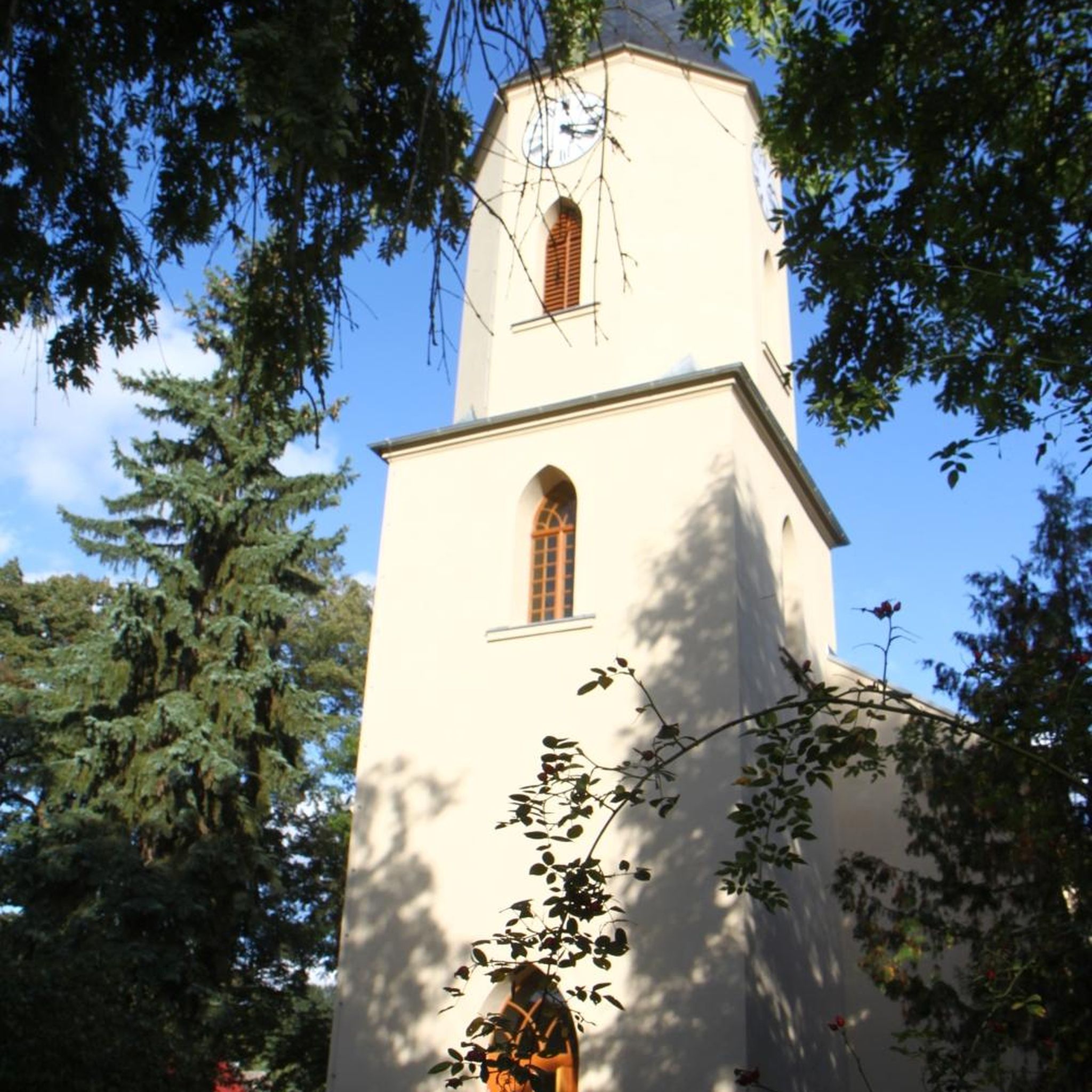


Tips from the Community

Mountsandel Fort is a prehistoric fort dating to the Mesolithic period that was reused in the Irish Middle Ages (10th to 11th centuries). Located in Coleraine, County Derry, the fort consists of a huge grassy mound hollowed out in the middle, overlooking the River Bann. A must-see for lovers of mysterious monuments!
1
0

You can walk along a well defined forest path from the small car park near Coleraine Courthouse and from the Fort, you can see great views of the Salmon Leap (Weir) and Coleraine.
1
0
Frequently Asked Questions
How many hiking trails are available around Clintagh?
The Clintagh area offers 19 hiking trails, catering to various preferences. The majority of these are easy, making them accessible for many hikers.
What is the general difficulty level of hikes in Clintagh?
Most of the hikes around Clintagh are considered easy, with 17 out of 19 trails falling into this category. There are also 2 moderate trails for those looking for a bit more challenge, but no difficult routes.
What kind of scenery can I expect on hikes around Clintagh?
Hiking around Clintagh offers a mix of riverine paths along the River Bann, historical sites like Mountsandel Fort, and tranquil forest trails. You'll find well-defined paths through woodlands and open views typical of the County Londonderry region.
Are there any circular hiking routes in the Clintagh area?
Yes, many of the trails in Clintagh are circular, providing convenient loop options. For example, the View of the River Bann – Mountsandel Fort loop from Causeway Hospital and the Springwell Forest loop from Rhee are popular circular routes.
What do other hikers say about the trails in Clintagh?
The trails in Clintagh are highly regarded by the komoot community, with an average rating of 4.6 stars from over 28 reviews. More than 180 hikers have explored the area, often praising the accessible paths and varied scenery.
Are there any historical sites or landmarks to see while hiking?
Absolutely. The area is rich in history, and you can explore sites like Mountsandel Fort, which is featured on routes such as the Mountsandel Fort – View of the River Bann loop from Causeway Hospital. This fort is one of the oldest known sites of human settlement in Ireland.
Are the trails around Clintagh suitable for families with children?
Given that the majority of trails are rated as easy and feature gentle elevations, many routes around Clintagh are well-suited for families with children. The well-defined paths through forests like Springwell and Somerset offer pleasant and safe walking experiences.
Can I bring my dog on the hiking trails in Clintagh?
Many of the forest trails and river paths around Clintagh are dog-friendly, provided dogs are kept under control, especially around wildlife or other hikers. Always check local signage for specific rules in nature reserves or protected areas.
Are there good viewpoints along the trails in Clintagh?
Yes, several trails offer scenic viewpoints, particularly those that follow the River Bann. The View of the River Bann – Mountsandel Fort loop, for instance, provides lovely vistas of the river and surrounding landscape.
What are some good options for beginner hikers in Clintagh?
Beginner hikers will find plenty of suitable options. The Somerset Forest loop from Causeway Hospital is a short, easy trail perfect for a gentle introduction, and the Cam Forest loop from Meencraig also offers an accessible and enjoyable walk.
Is there public transport access to the hiking trails in Clintagh?
While specific public transport links directly to trailheads may vary, the Clintagh area is generally accessible within County Londonderry. It's advisable to check local bus schedules or taxi services from nearby towns for the most convenient access to your chosen starting point.
Where can I find parking for the hiking trails?
Many of the popular trailheads, especially those near forest parks or historical sites, typically offer designated parking areas. For routes starting from urban areas like Causeway Hospital, nearby public parking facilities would be available.
What is the best time of year to go hiking in Clintagh?
Spring and summer generally offer the most pleasant hiking conditions in Clintagh, with milder weather and lush greenery. However, the well-maintained forest trails can be enjoyed year-round, with autumn providing beautiful foliage and winter offering crisp, quiet walks.
Most popular routes around Clintagh

Get inspired with the komoot mobile app


Explore more
Browse the best Hikes in other regions.
