The best running trails around Gersfeld
4.5
(88)
1,008
runners
101
runs
Jogging around Gersfeld offers diverse routes through the picturesque Rhön Biosphere Reserve. The region is characterized by rolling hills, dense forests, and open meadows, providing a varied landscape for runners. Nestled at the foot of the Wasserkuppe, the highest peak in the Rhön, Gersfeld provides an inspiring backdrop for outdoor activities. The extensive trail network includes options for various fitness levels, from easy paths to more challenging routes with significant elevation changes.
Best jogging routes around Gersfeld
- The most popular…
Last updated: October 6, 2026
5.0
(1)
18
runners
6.93km
00:46
110m
110m
Moderate run. Good fitness required. Mostly paved surfaces. Suitable for all skill levels.
4.5
(4)
34
runners
8.22km
01:01
280m
280m
Hard run. Good fitness required. Sure-footedness, sturdy shoes and alpine experience required.

4.0
(1)
28
runners
Moderate run. Good fitness required. Mostly paved surfaces. Suitable for all skill levels.
5.0
(2)
27
runners
Hard run. Very good fitness required. Mostly paved surfaces. Suitable for all skill levels.
5.0
(1)
16
runners
8.32km
00:59
150m
150m
Moderate run. Good fitness required. Mostly paved surfaces. Suitable for all skill levels.
Get access to more routes and recommendations from other explorers.
Already have an account?
Our route recommendations are based on thousands of hikes, rides, and runs completed by other people on komoot.
Start today with a free account
Your next adventure awaits.
Popular around Gersfeld (Rhön)
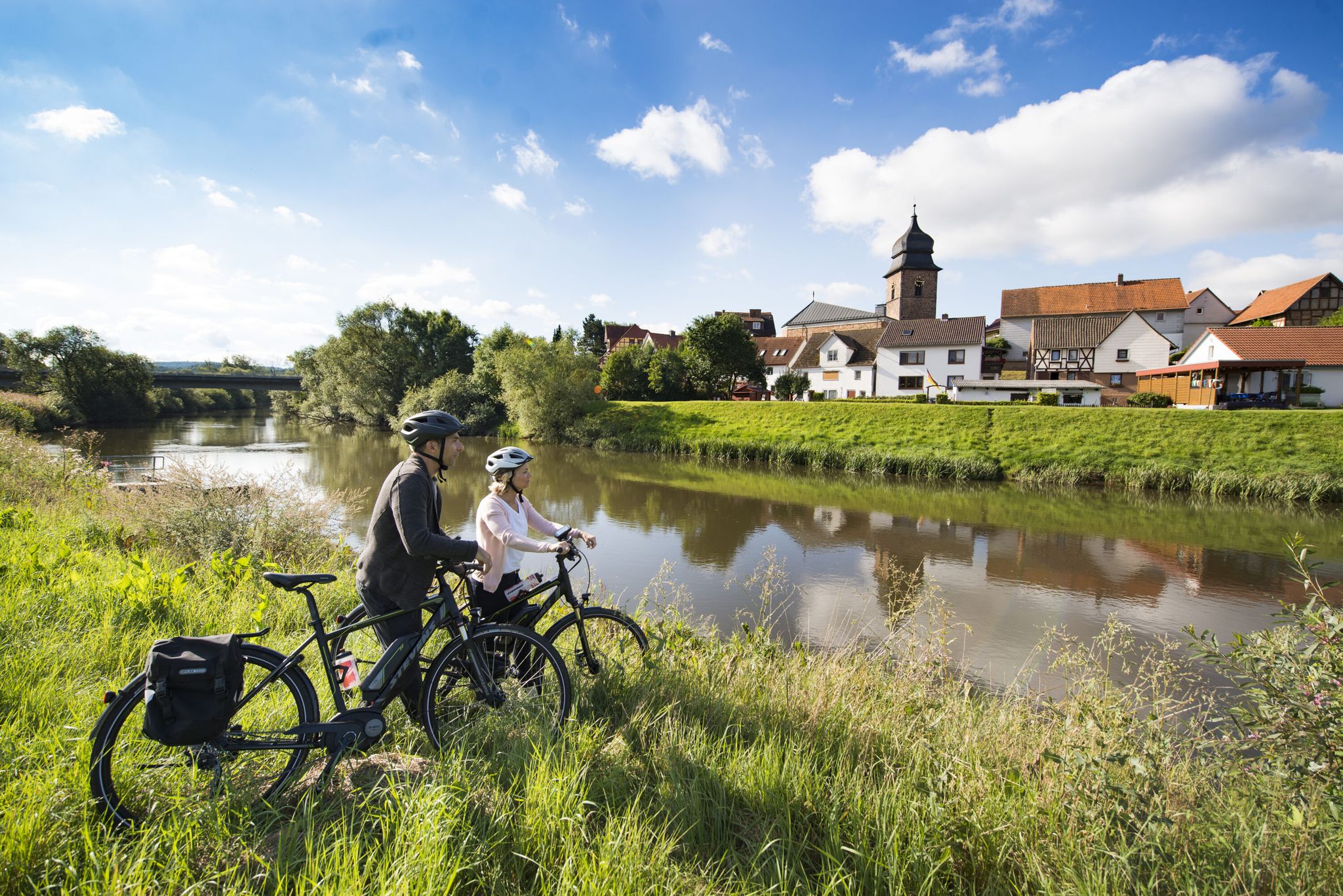
The Fulda cycle path R1 — in 5 stages from the Rhön to the Weser

Stages of the HOCHRHÖNER Premium Hiking Trail
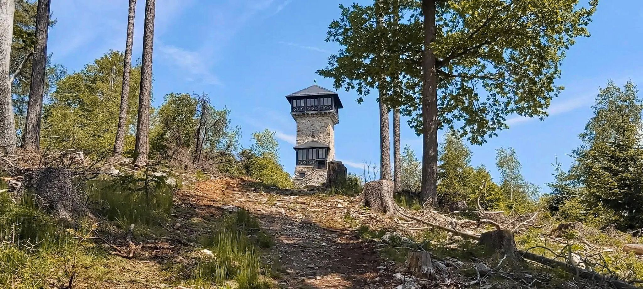
Autumn views: to the most beautiful vantage points in the RMV area

The National Natural Landscapes in Hessen

Extra tours South - Excellent premium hiking trails of the Rhön

Discover Rhön - Half-day tours through the biosphere reserve

Hike Germany’s Rhön Mountains on the Hochrhöner Trail

Lowest to Highest (L2H) in Germany
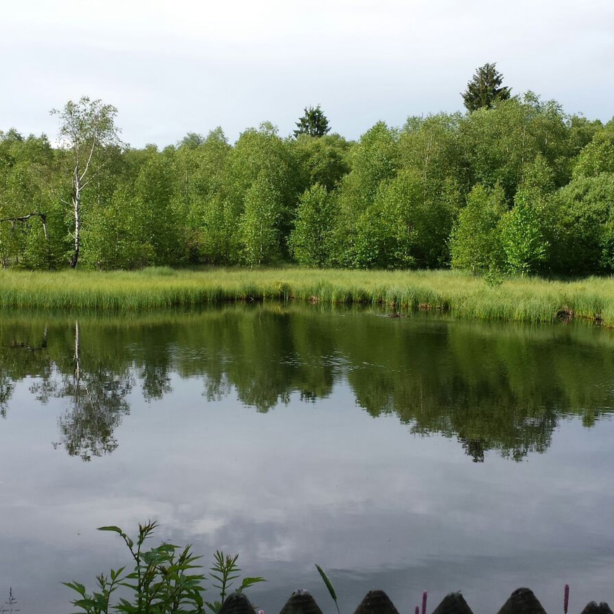
Hiking around Gersfeld
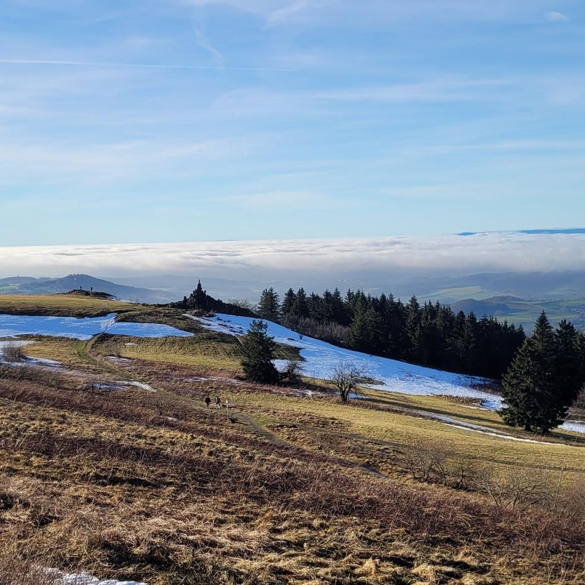
Cycling around Gersfeld
Other adventures around Gersfeld


Tips from the Community

Great, you can observe a lot there
0
0

Campsite just out in the landscape
0
0

Very worthwhile to walk there - beautiful view from the tower.
0
0

At 950 meters, the Wasserkuppe is the highest mountain in Hesse and the symbol of the Rhön Mountains. Up here, you can feel the freedom, as the Wasserkuppe is considered the cradle of gliding – pilots have been taking to the skies here for over 100 years. But it's not just aviators who enjoy it: In summer, you can hike or cycle across vast plateaus with magnificent views, while in winter, ski lifts, cross-country ski trails, and toboggan runs beckon. Around the summit, you'll find the Aviation Memorial, the Gliding Museum, and numerous places to stop for refreshments. The Wasserkuppe is located in the heart of the Hessian Rhön Nature Park, which, with its open highlands, beech forests, and species-rich meadows, is a paradise for nature lovers. Here, you can explore the unique landscape on premium hiking trails like the Hochrhöner or on nature trails. The nature park also boasts star parks, rare animals like the red kite and the wildcat, and botanical treasures like gentian and orchids.
2
0

Fine patch of earth with the opportunity to rest... a place of reflection
9
0
Observation tower accessible even in winter, allowing you to enjoy the view of the former peat mining area
13
0
One of the last raised bogs in Hesse. Peat mining was stopped here in 1986… Today, renaturation is the magic word
15
0
A great place to rest in slightly finer winter weather
15
0
Frequently Asked Questions
What kind of terrain can I expect on the running routes around Gersfeld?
The running routes in Gersfeld (Rhön) offer a diverse mix of terrain, reflecting its location within the Rhön Biosphere Reserve. You'll find everything from mostly paved paths suitable for beginners to more challenging trails with significant elevation changes, often requiring sturdy footwear. The landscape features rolling hills, dense forests, and open meadows, providing a varied and engaging environment for runners.
Are there running routes suitable for beginners or those looking for an easier jog?
Yes, Gersfeld offers routes for various fitness levels. While many trails involve elevation, there are options up to 5 kilometers with around 100 meters of elevation on mostly paved paths, ideal for beginners or those preferring an easier run. The region's extensive network ensures you can find a path that matches your comfort and experience level.
How many running routes are available in the Gersfeld (Rhön) area?
The Gersfeld (Rhön) area boasts a comprehensive network of running trails. Komoot alone features nearly 100 different routes for jogging, ranging from easy to difficult, ensuring a wide variety of options for every runner.
What are some notable landmarks or viewpoints I can see while running in Gersfeld?
Many running routes in Gersfeld offer stunning views and pass by interesting landmarks. The Wasserkuppe aviation memorial – Pferdskopf Summit loop from Wasserkuppe, for example, includes the historic Wasserkuppe aviation memorial and leads to panoramic views from Pferdskopf Summit. Other routes might take you past the Moor lake in the Red Moor or offer glimpses of the Boardwalk Trail Through the Rotes Moor.
Are there any family-friendly running routes in Gersfeld (Rhön)?
While specific 'family-friendly' designations for running routes aren't always explicit, many of the easier, shorter routes on paved or well-maintained paths would be suitable for families. The region's natural beauty, like the idyllic valley of Wildpark Gersfeld, also offers pleasant environments for walks that can complement a family's outdoor activity.
Can I bring my dog on the running trails in Gersfeld?
Generally, dogs are welcome on many of the outdoor trails in the Rhön Biosphere Reserve, including running routes. However, it's always advisable to keep your dog on a leash, especially in nature reserve areas or near wildlife, and to respect local regulations. Always check for specific signage on individual trails.
What do other runners say about their experience jogging in Gersfeld (Rhön)?
The running routes in Gersfeld (Rhön) are highly regarded by the komoot community, with an average rating of 4.6 out of 5 stars from over 70 reviews. Runners frequently praise the varied terrain, the inspiring backdrop of the Wasserkuppe, and the beautiful natural landscapes of the Rhön Biosphere Reserve.
Are there circular running routes available in Gersfeld?
Yes, many of the running routes around Gersfeld are designed as loops, allowing you to start and end at the same point. For instance, the View of the Wasserkuppe – Red moor loop from Rotes Moor is a popular circular trail offering scenic views and moorland terrain.
What is the typical length and duration of running routes in this area?
The running routes in Gersfeld vary significantly in length and duration. You can find shorter routes, like the View of the Wasserkuppe – Red moor loop from Rotes Moor at 6.9 km (4.3 miles) which takes about 45 minutes. Longer, more challenging options, such as the Moor lake in the Red Moor – Jagdschloss Holzberghof loop from Höllwald bei Rodenbach, can be over 20 km (12.4 miles) and take several hours to complete.
Are there any specific regulations or permits needed for running in the Rhön Biosphere Reserve?
As Gersfeld is located within the Rhön Biosphere Reserve, it's important to respect nature conservation rules. Generally, running on marked trails is permitted. However, always stay on designated paths, do not disturb wildlife, and avoid leaving any waste. No specific permits are typically required for recreational running on public trails, but always be mindful of local signage.
Where can I find parking near the trailheads for running routes?
Many popular trailheads in and around Gersfeld, especially those leading to well-known areas like the Wasserkuppe or the Rotes Moor, offer designated parking facilities. It's common for routes to start from accessible points with parking options, making it convenient for runners to begin their journey.
Are there any running routes that feature water bodies or lakes?
Yes, some running routes in the Gersfeld area incorporate beautiful water features. For example, the Moor lake in the Red Moor – Jagdschloss Holzberghof loop from Höllwald bei Rodenbach passes by the Moor lake in the Red Moor. You might also encounter other natural water bodies like the Guckaisee in the wider region.
What is the best time of year for jogging in Gersfeld (Rhön)?
Gersfeld offers excellent jogging opportunities throughout much of the year. Spring and autumn provide pleasant temperatures and vibrant scenery, with autumn foliage being particularly beautiful. Summer is also great, though it's best to run in the mornings or evenings to avoid the midday heat. Winter running is possible, but trails might be snowy or icy, requiring appropriate gear and caution.
Most popular routes around Gersfeld
Most popular attractions around Gersfeld

Get inspired with the komoot mobile app


Explore more
Browse the best Running Trails & Routes in other regions.
