The best MTB trails around Gersfeld
4.6
(478)
1,389
riders
90
rides
Mountain biking around Gersfeld (Rhön) offers diverse landscapes within the UNESCO Biosphere Reserve Rhön and the Hessian Rhön Nature Park. The region is characterized by open highlands, expansive beech forests, and rolling hills, providing a varied terrain for riders. Nestled at the foot of the Wasserkuppe, the highest peak in the Rhön, the area features challenging ascents and exhilarating descents.
Best mountain bike trails around Gersfeld
- The most popular mountain bike trail is View from the summit of Kreuzberg –…
Last updated: October 4, 2026
4.9
(35)
156
riders
64.7km
05:57
1,620m
1,620m
Hard mountain bike ride. Very good fitness required. Advanced riding skills necessary.
4.8
(27)
83
riders
35.0km
03:14
870m
870m
Moderate mountain bike ride. Good fitness required. Advanced riding skills necessary.

4.6
(28)
73
riders
52.9km
04:35
1,230m
1,230m
Hard mountain bike ride. Very good fitness required. Advanced riding skills necessary.
4.7
(11)
43
riders
20.4km
01:58
590m
590m
Moderate mountain bike ride. Good fitness required. Advanced riding skills necessary.
4.6
(19)
53
riders
59.9km
04:00
890m
900m
Moderate mountain bike ride. Good fitness required. Suitable for all skill levels.
Get access to more routes and recommendations from other explorers.
Already have an account?
Our route recommendations are based on thousands of hikes, rides, and runs completed by other people on komoot.
Start today with a free account
Your next adventure awaits.
Popular around Gersfeld (Rhön)
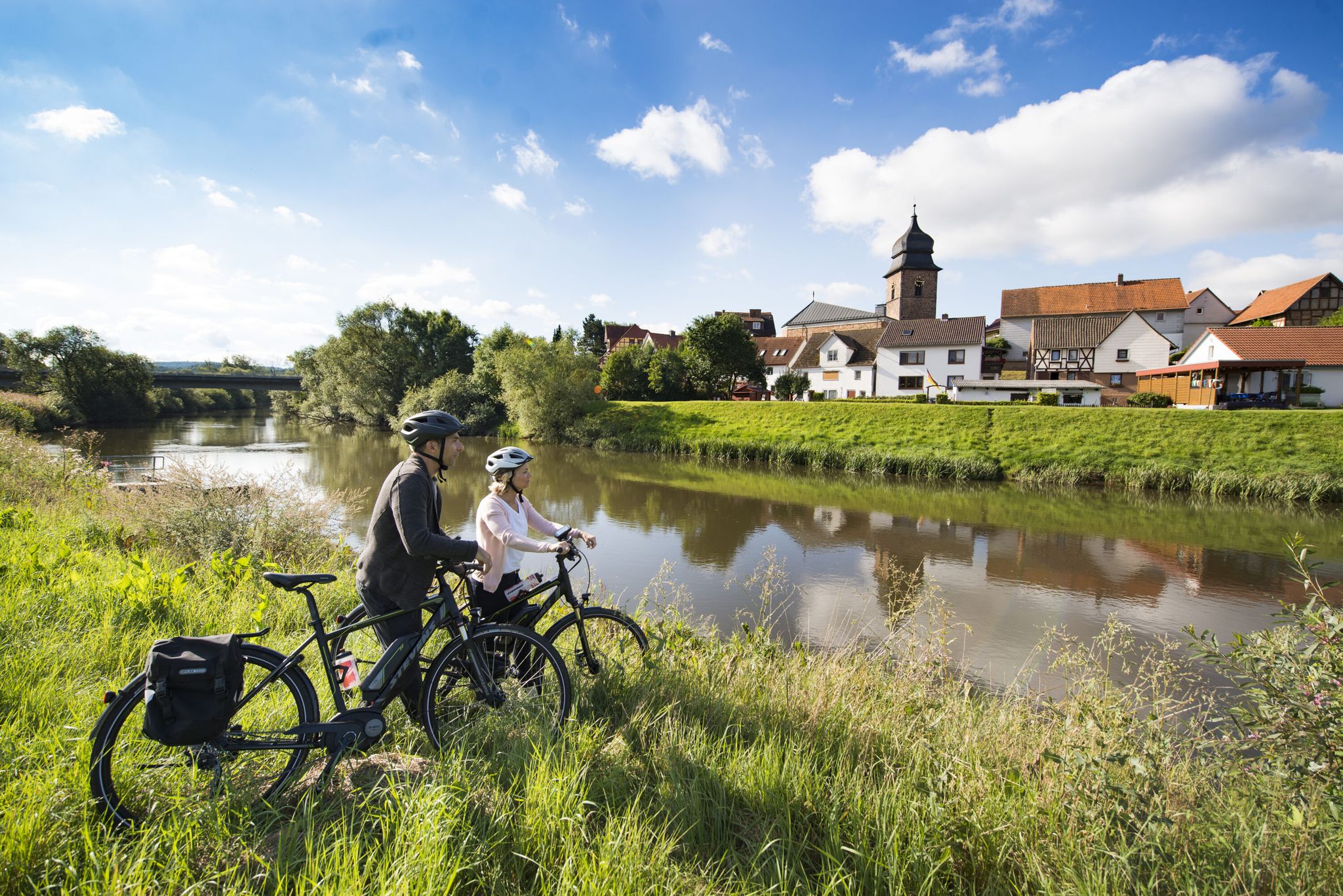
The Fulda cycle path R1 — in 5 stages from the Rhön to the Weser

Stages of the HOCHRHÖNER Premium Hiking Trail
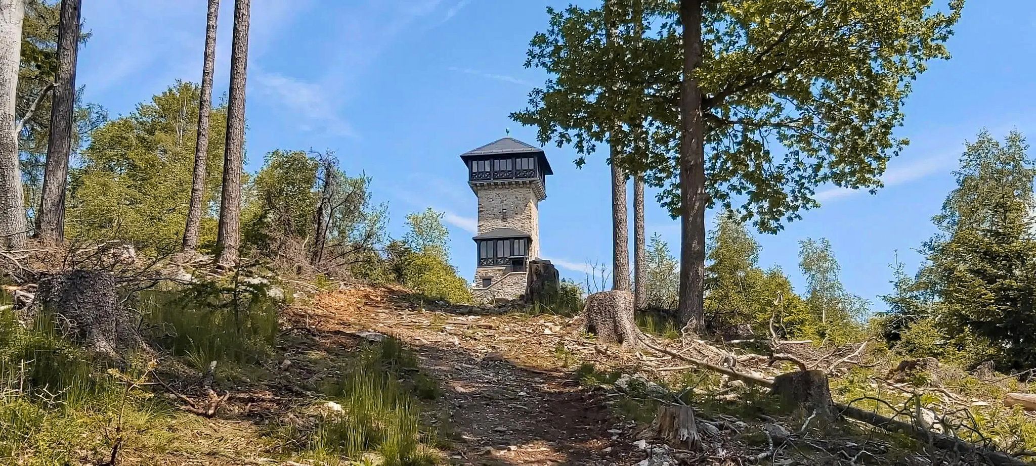
Autumn views: to the most beautiful vantage points in the RMV area

The National Natural Landscapes in Hessen

Extra tours South - Excellent premium hiking trails of the Rhön

Discover Rhön - Half-day tours through the biosphere reserve

Hike Germany’s Rhön Mountains on the Hochrhöner Trail

Lowest to Highest (L2H) in Germany
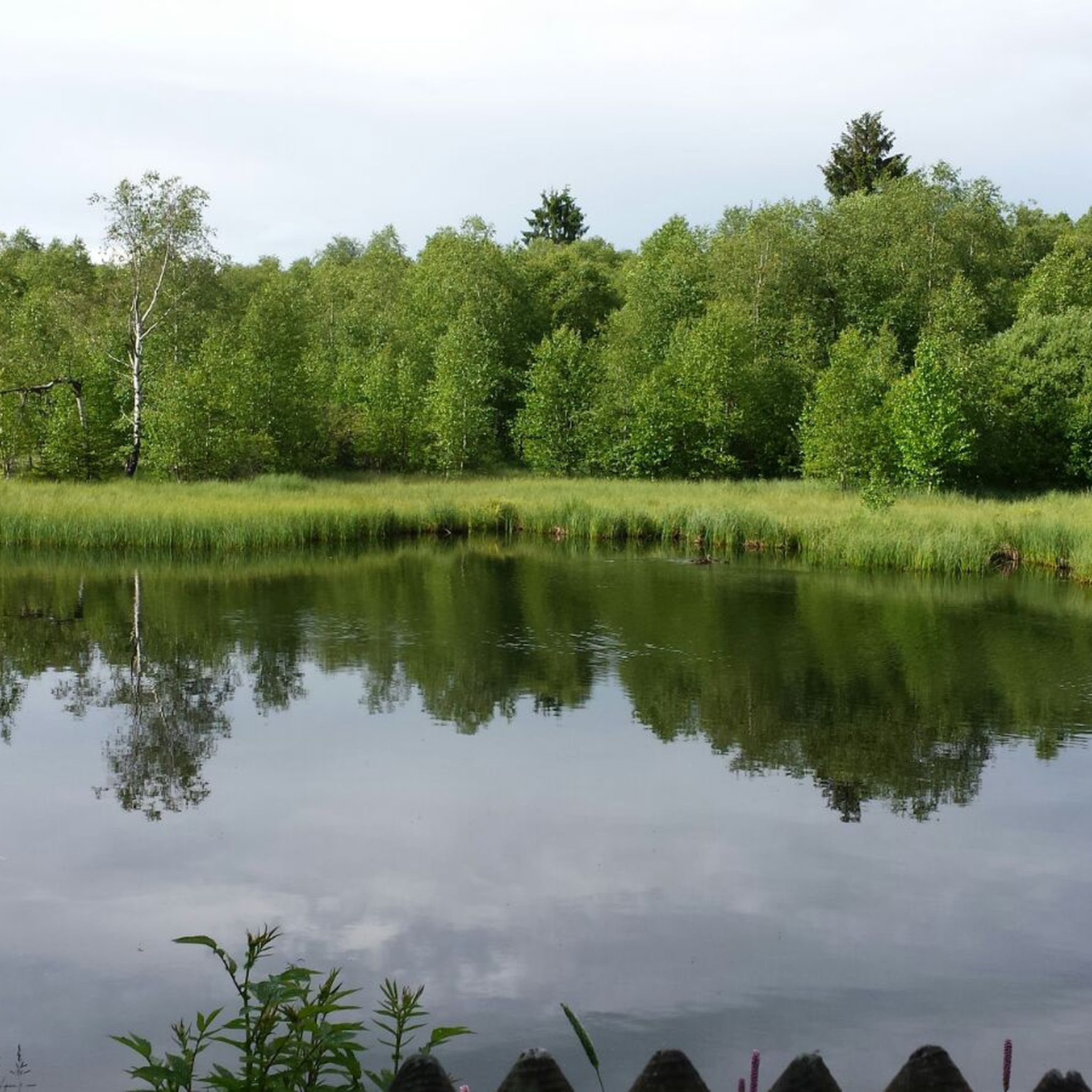
Hiking around Gersfeld
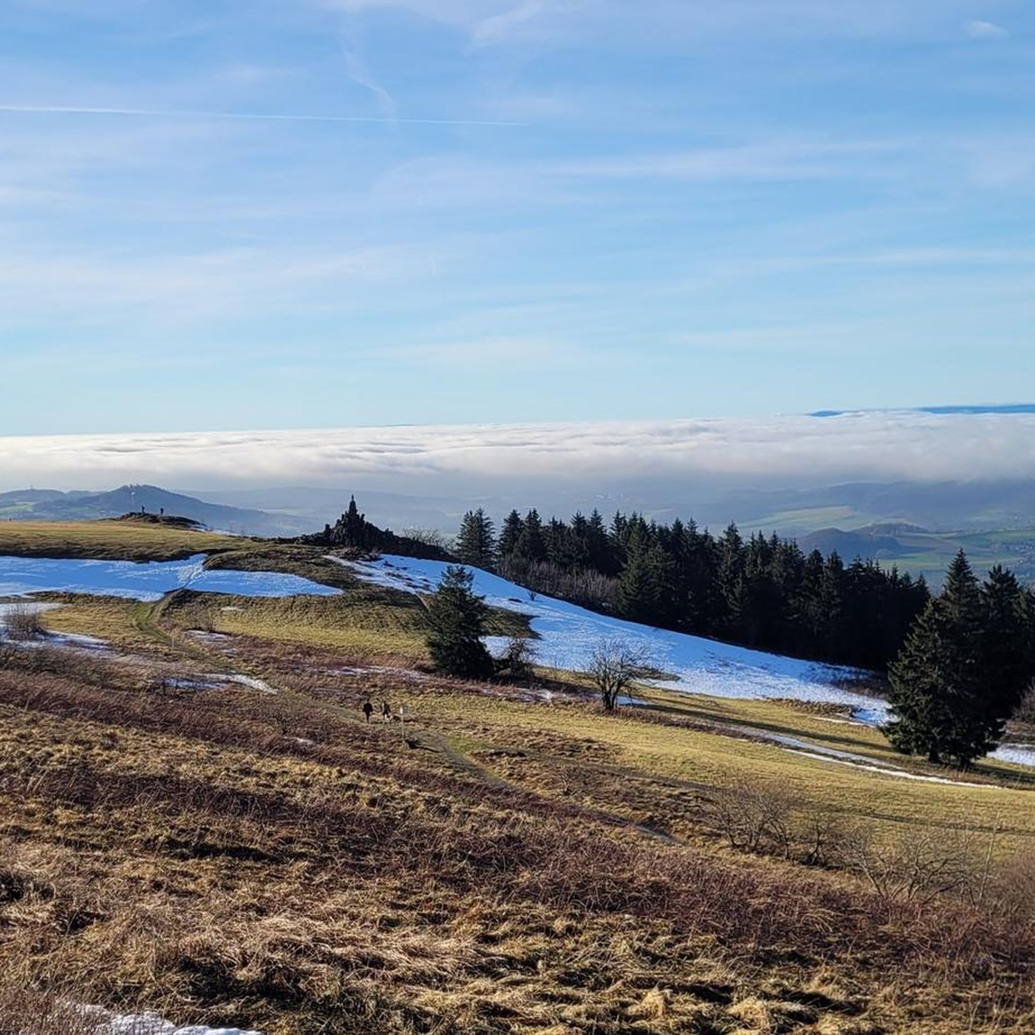
Cycling around Gersfeld
Other adventures around Gersfeld


Tips from the Community

The panoramic view from the Wasserkuppe is simply impressive! 🤩 #Panoramablick #Wasserkuppe
0
0

At 950m above sea level, the Wasserkuppe towers over the peaks as far as the eye can see. During this circular hike, there are always fascinating views and vistas. Furthermore, in good weather, you can observe the activity of gliders and paragliders. So hiking friends, put on your hiking boots and head out into the wonderful nature of the Rhön.
0
0

The Westhang paragliding launch site on the Wasserkuppe is one of the best-known and most frequented launch sites for hang gliders and paragliders in all of Germany. It is located at an altitude of around 920 meters above sea level on the western flank of the plateau, in the immediate vicinity of the famous aviator monument. The area can be reached by visitors and pilots via a short footpath, which leads west from the central parking lots past the Radom. As the terrain is exposed in the strong wind area of the Rhön, the gently sloping grass launch site offers ideal, obstacle-free access to the airspace. From a flying perspective, the Westhang is characterized by its enormous versatility. It serves as an important main launch site for the local flight school for the high-altitude training of students, while at the same time offering optimal conditions for experienced soaring and thermal pilots to enter the updraft. Due to its geographical orientation to the west and northwest, the slope unfolds its full potential, especially from the afternoon hours, when solar radiation ensures reliable thermal releases. On summer evenings, the so-called "soaring" can be regularly observed here, where pilots use the dynamic slope wind to glide silently along the edge until sunset. A classic flight path leads after takeoff across a forest clearing towards the Siebloser Horn. From here, long-distance pilots repeatedly achieve remarkable, unpowered flights under suitable weather conditions, which can lead far into neighboring federal states or even abroad.Due to the intensive mixed use on Hesse's highest mountain, paragliders share the airspace cooperatively with glider pilots, model aircraft pilots, and hang glider pilots. To ensure safety and protect the sensitive nature of the UNESCO Biosphere Reserve Rhön, strict rules apply at the Westhang. Usually, a launch director on site coordinates operations. Pilots are asked to enter the launch site on days with high demand only when fully ready for takeoff and to refrain from "groundhandling" (exercises with the parachute on the ground) in the immediate launch area. For spectators and hikers, the Westhang offers a fascinating spectacle due to its proximity to the hiking trails, as one can watch the pilots at very close range during preparation, the subsequent takeoff run, and the majestic liftoff.
0
0

The Wasserkuppe, at 950 m above sea level, is the highest mountain in the Rhön and also the highest elevation in Hesse.
1
0
From the Wasserkuppe, the highest mountain in the Rhön, an impressive view opens up over the gently rolling low mountain range landscape. Wide meadows, dense forests, and striking peaks characterize the panorama. In clear weather, the view extends far beyond the UNESCO Biosphere Reserve Rhön, revealing the special beauty of this unique region. The changing light conditions give the landscape its own character in every season. While lush green dominates in summer, colorful forests create a vibrant picture in autumn. The view from the Wasserkuppe conveys peace, vastness, and a special nature experience.
1
0

One of the many imposing views that can be enjoyed in the land of open distances.
0
0

Wow! We didn't expect this! Nice up here...
0
0
Frequently Asked Questions
How many mountain bike trails are available around Gersfeld (Rhön)?
There are nearly 100 mountain bike trails around Gersfeld (Rhön) documented on komoot, offering a wide range of options for different skill levels. Over 1200 mountain bikers have already explored these routes.
What kind of terrain can I expect on mountain bike trails in Gersfeld (Rhön)?
The terrain in Gersfeld (Rhön) is highly varied, characterized by open highlands, expansive beech forests, and rolling hills. As part of the UNESCO Biosphere Reserve Rhön, you'll encounter challenging ascents and exhilarating descents, particularly around the Wasserkuppe, the highest peak in the Rhön.
Are there easy mountain bike trails suitable for beginners in Gersfeld (Rhön)?
Yes, while many routes offer a challenge, there are 6 easy mountain bike trails available in Gersfeld (Rhön). These routes provide a gentler introduction to mountain biking in the region, allowing beginners to enjoy the scenic landscapes without overly demanding climbs or technical sections.
What are some notable natural features or landmarks I can see while mountain biking in Gersfeld (Rhön)?
Mountain biking in Gersfeld (Rhön) offers access to numerous natural and historical landmarks. You can ride past the impressive Wasserkuppe aviation memorial, explore the unique moorland ecosystem near the Boardwalk Trail Through the Rotes Moor, or enjoy views of the Milseburg Summit. The region also features the scenic Guckaisee, nestled between mountains.
Are there any circular mountain bike routes in Gersfeld (Rhön)?
Yes, many of the mountain bike trails in Gersfeld (Rhön) are designed as circular routes, allowing you to start and end at the same point. An example of a challenging circular route is the View from the summit of Kreuzberg – Wasserkuppe aviation memorial loop from Gersfeld (Rhön), which covers over 40 miles.
What do other mountain bikers say about the trails in Gersfeld (Rhön)?
The mountain bike trails in Gersfeld (Rhön) are highly regarded by the komoot community, with an average rating of 4.7 stars from over 380 reviews. Riders often praise the diverse landscapes, challenging climbs, and the well-integrated network of paths that allow for varied experiences.
Are there any routes that pass by the Wasserkuppe?
Absolutely. The Wasserkuppe, as the highest peak in the Rhön, is a central feature for many routes. For example, the difficult Wasserkuppe with radome – Radome on the Wasserkuppe loop from Gersfeld (Rhön) takes you through the high Rhön landscape with views of the Wasserkuppe.
Can I find mountain bike trails that include a visit to Kreuzberg?
Yes, the Kreuzberg area is a popular destination for mountain bikers. A moderate route like the View from the summit of Kreuzberg – Kreuzberg Flowtrail loop from Gersfeld (Rhön) offers varied terrain and scenic sections around Kreuzberg, including the opportunity to see the Kreuzberg Monastery.
Are there any long-distance mountain bike routes in the area?
Yes, Gersfeld (Rhön) offers several longer mountain bike routes for those seeking an extended challenge. For instance, the difficult View of Kreuzberg – Rhönexpress Cycle Path loop from Hettenhausen covers over 60 miles, providing a substantial ride through the region's diverse landscapes.
What is the best time of year for mountain biking in Gersfeld (Rhön)?
The Rhön region is generally excellent for mountain biking from spring through autumn. The varied landscapes, including open highlands and beech forests, offer beautiful scenery during these seasons. While winter biking is possible, conditions can be challenging due to snow and ice, especially at higher elevations like the Wasserkuppe.
Are there any moderate difficulty mountain bike trails available?
Yes, Gersfeld (Rhön) has a significant number of moderate trails, with 48 routes categorized as such. These trails strike a good balance between challenge and accessibility, often featuring varied terrain and scenic sections without the extreme demands of difficult routes. An example is the Radome on the Wasserkuppe – Wasserkuppe with radome loop from Gersfeld (Rhön).
Most popular routes around Gersfeld
Most popular attractions around Gersfeld

Get inspired with the komoot mobile app


Explore more
Browse the best MTB trails in other regions.
