The best running trails around Auerbach in der Oberpfalz
4.5
(66)
675
runners
100
runs
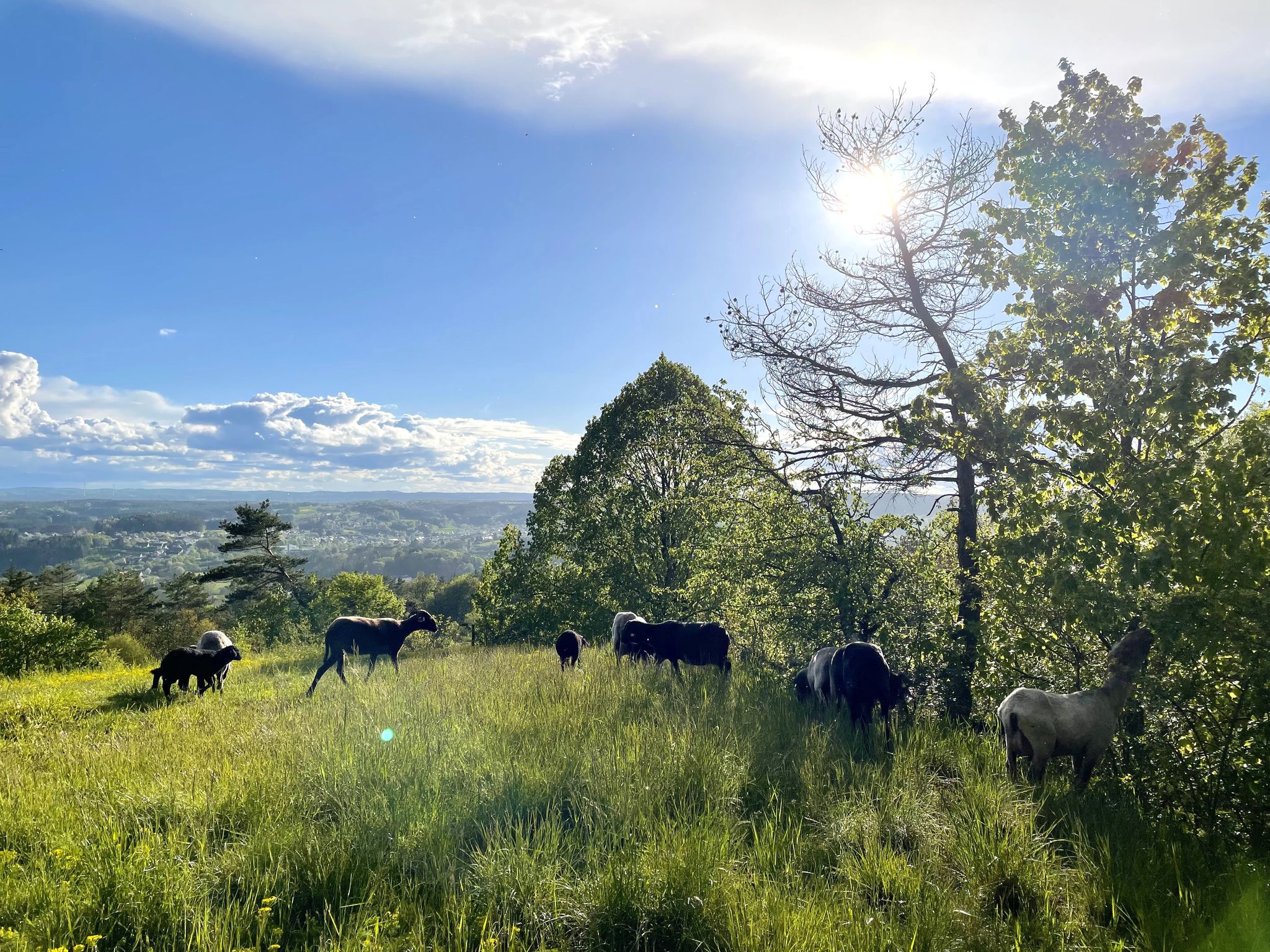
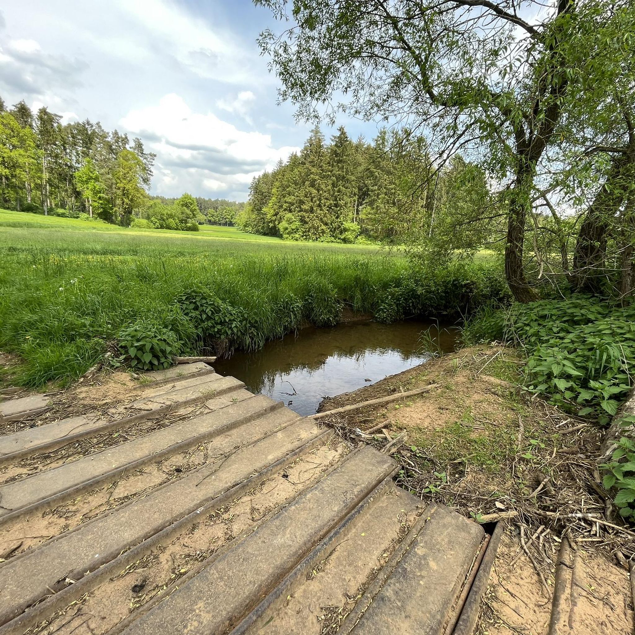
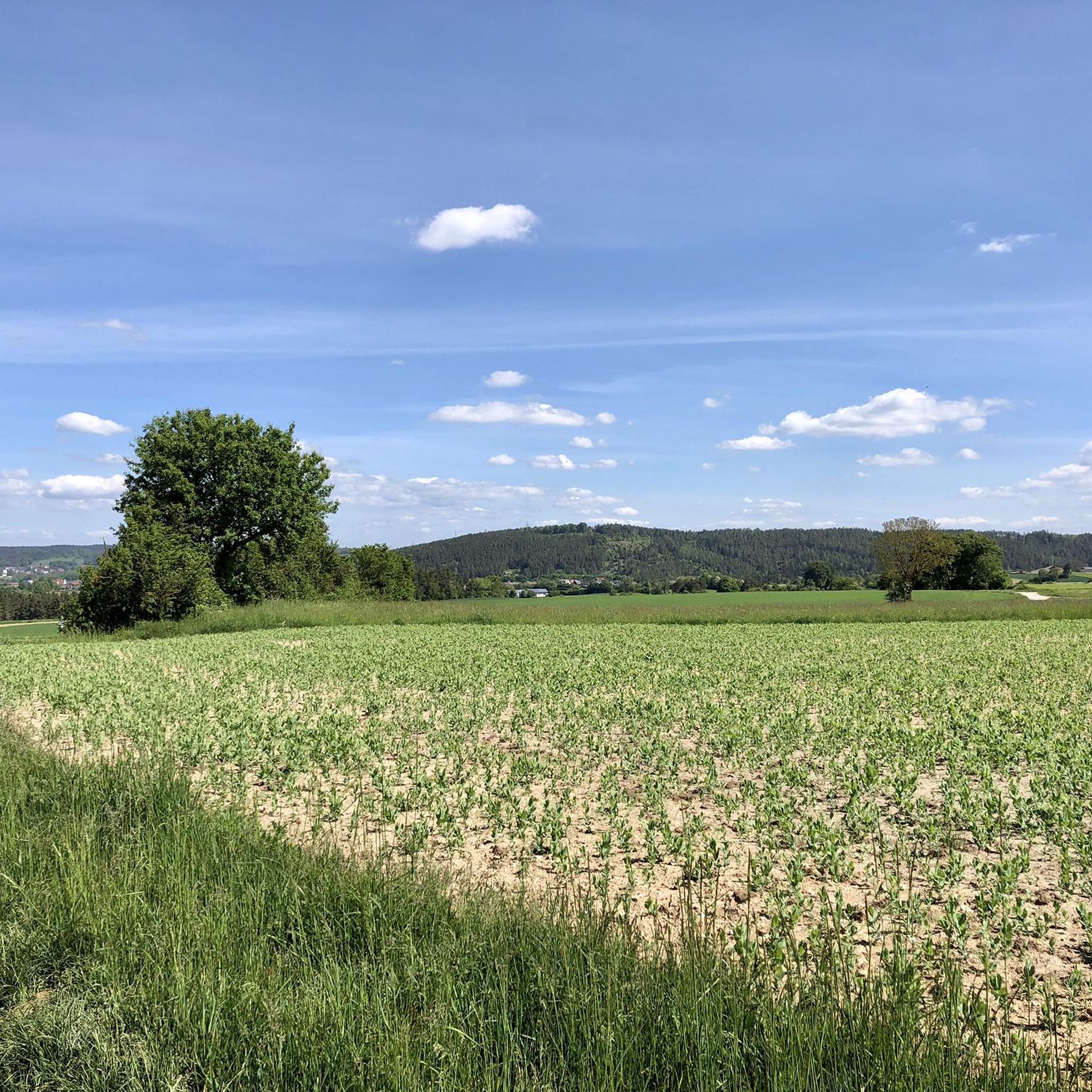
Jogging routes around Auerbach in der Oberpfalz traverse diverse and picturesque landscapes, characterized by unique geological formations and extensive woodlands. The region features bizarre rock formations, karst landscapes, and idyllic forests like the Bürgerwald. Running routes often follow river valleys, such as the Pegnitz, and include varied terrain with both gentle paths and more challenging sections involving elevation changes.
Best jogging routes around Auerbach in der Oberpfalz
- The most popular jogging route is Pegnitz River loop from Neuhaus an der…
Last updated: September 29, 2026
4.8
(12)
66
runners
7.16km
00:45
70m
70m
Moderate run. Good fitness required. Mostly paved surfaces. Suitable for all skill levels.
5.0
(1)
34
runners
Moderate run. Good fitness required. Mostly paved surfaces. Suitable for all skill levels.

5.0
(1)
40
runners
Moderate run. Good fitness required. Mostly paved surfaces. Suitable for all skill levels.
25
runners
7.54km
00:51
130m
130m
Moderate run. Good fitness required. Mostly paved surfaces. Suitable for all skill levels.
21
runners
6.53km
00:44
100m
100m
Moderate run. Good fitness required. Mostly paved surfaces. Suitable for all skill levels.
Get access to more routes and recommendations from other explorers.
Already have an account?
Our route recommendations are based on thousands of hikes, rides, and runs completed by other people on komoot.
Start today with a free account
Your next adventure awaits.
Popular around Auerbach in der Oberpfalz
11 Days on the Erzweg Quality Hiking Trail
Hiking around Auerbach in der Oberpfalz
Cycling around Auerbach in der Oberpfalz
MTB Trails around Auerbach in der Oberpfalz
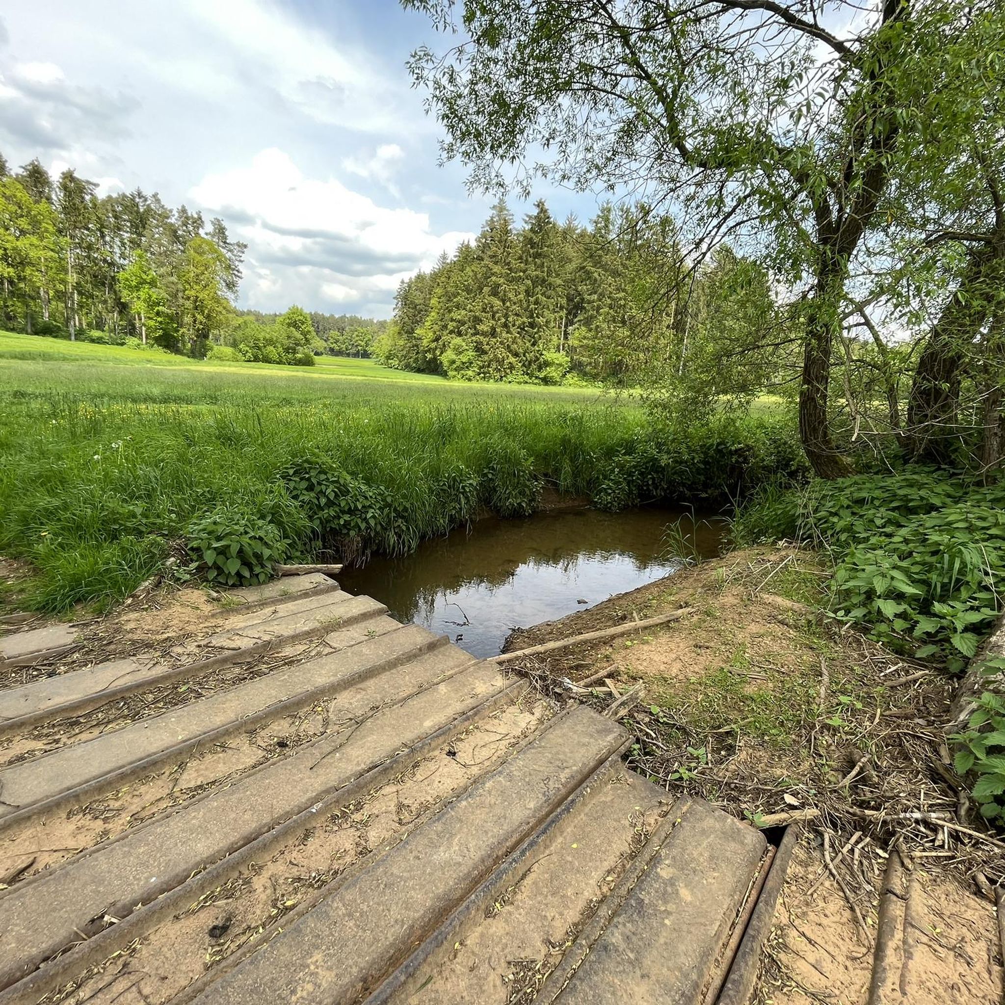
Road Cycling Routes around Auerbach in der Oberpfalz
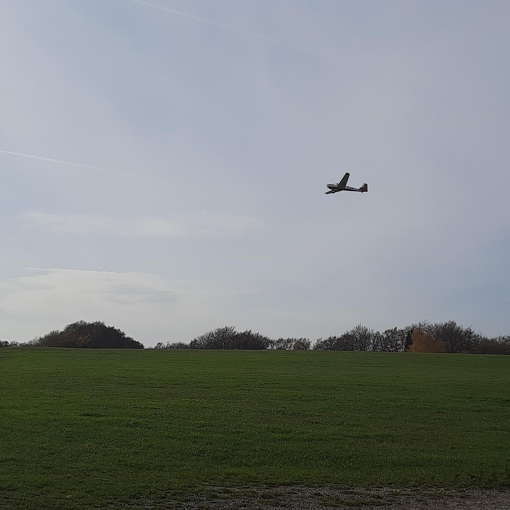
Gravel biking around Auerbach in der Oberpfalz

Mountain Hikes around Auerbach in der Oberpfalz
Other adventures around Auerbach in der Oberpfalz

Tips from the Community

Beautiful cave and rock landscape. Please observe bat protection in winter and DO NOT enter the caves!
0
0
Reminiscent of sinkholes in the Karst or above mine tunnels.
0
0

Impressively beautiful from the outside, although I cannot judge what it looks like inside.
0
0

A very beautiful landscape
2
0

It is a small, natural opening in the rock through which water flows into the underground cave system. The name "swallow hole" comes from the idea that this is where the water is "swallowed". The area around the swallow hole is part of a hiking trail and visitors can watch the water disappear into the hole. However, access to the cave system is not permitted for safety reasons.
2
0
The Mystery Grotto is located near Neuhaus an der Pegnitz and is part of the Karst Hiking Trail. The name of the grotto comes from a legend that tells of the "White Lady". This legend says that the cursed soul of Countess Kunigunde von Leuchtenburg, who lived in the 13th century, is said to appear in the grotto as a restless spirit. The grotto is about 12 meters wide and 16 meters long and offers an impressive hall. Beautiful ice formations can be admired, especially in winter. The entrance to the grotto is partially walled up and closed in winter during the bat protection period. The grotto is only accessible from April to September.
1
0
The Distlergrotte, also known as Finstermühlhöhle, is a karst cave near Neuhaus an der Pegnitz. The cave has a total length of about 90 meters and is constructed as a descending system of floors with crevices and small halls. It contains sinter groups, moon milk and ceiling potholes. The entrance is partially walled up and closed with an iron bar in winter during the bat protection period. The cave is only accessible between April 1 and September 30. Ice Age animal bones of mammoth, woolly rhinoceros, cave bear, hill hyena, reindeer, red deer, wild horse, bison and ancient cattle have been found in the cave.
1
0

"A ponor (from South Slavic) - also known as a swallow hole, Schwalgloch (in Westphalian), sinkhole, Bachschwinde, katavothra (modern Greek καταβόθρα) or gully - is an opening in the surface of the land through which a flowing or standing body of water drains off and continues to flow underground. The ponor is a typical karst phenomenon that occurs in many regions of the world and therefore often occurs in regions whose subsoil consists of limestone. Sink holes that lie in the karst funnels typical of karst areas are called ponordolines." https://de.wikipedia.org/wiki/Ponor#:~:text=Der%20Ponor%20ist%20eine%20typische,liegen%2C%20werden%20als%20Ponordolinen%20bezeichnet.
0
0
Frequently Asked Questions
How many running routes are available around Auerbach in der Oberpfalz?
There are over 95 running routes around Auerbach in der Oberpfalz, offering a wide variety of options for different fitness levels and preferences. These include easy, moderate, and more challenging trails.
What kind of terrain can I expect on the jogging trails in Auerbach in der Oberpfalz?
The jogging trails in Auerbach in der Oberpfalz feature diverse terrain, from mostly paved paths to more challenging sections with significant elevation changes. You'll encounter unique geological formations like bizarre rock formations and karst landscapes, idyllic woodlands such as the Bürgerwald, and scenic river valleys like the Pegnitz. Some paths may require sure-footedness, especially around rock formations.
Are there any family-friendly running routes in the area?
Yes, Auerbach in der Oberpfalz offers several easy and moderate running routes suitable for families. These often feature gentler paths through woodlands or along river valleys. For example, the Running loop from Auerbach in der Oberpfalz is a moderate 6.4 km route with relatively low elevation gain, making it a good option for a family outing.
Can I bring my dog on the running trails?
Many trails in Auerbach in der Oberpfalz are dog-friendly, allowing you to enjoy a run with your canine companion. It's always recommended to keep dogs on a leash, especially in nature reserves or areas with wildlife, and to be mindful of other trail users. The extensive woodlands provide plenty of shaded paths for dogs.
What are some interesting natural landmarks or attractions I can see while running?
The region is rich in natural wonders. You can explore fascinating karst rock formations like the 'Stone city with the 'Two Brothers'' or the Rock formations on the Jägersteig. The Vogelherd Grotto is an impressive karst cave, and the Maximiliansgrotte is the largest stalactite cave in the region. Routes often pass by or incorporate these unique geological features, such as the Vogelherd Grotto – Weissingkuppe Rock Labyrinth loop from Maximiliansgrotte.
Are there any circular running routes available?
Yes, many of the running routes in Auerbach in der Oberpfalz are circular, allowing you to start and end at the same point. Examples include the popular Pegnitz River loop from Neuhaus an der Pegnitz, the Running loop from Nitzlbuch, and the Running loop from Sackdilling, all designed for convenient round trips.
What is the best time of year for jogging in Auerbach in der Oberpfalz?
The best seasons for outdoor activities, including jogging, in Auerbach in der Oberpfalz are spring and autumn. During these times, the weather is mild, and nature displays vibrant colors – blossoming flowers in spring and warm red hues in the forests during autumn. While summer is also pleasant, spring and autumn offer particularly picturesque conditions.
Are there routes suitable for beginners or those looking for an easy run?
Absolutely. Out of the 95 available routes, 9 are classified as easy, making them perfect for beginners or those seeking a relaxed run. These routes typically have minimal elevation gain and are often on well-maintained paths through scenic areas.
What do other runners say about the trails in Auerbach in der Oberpfalz?
The running routes in Auerbach in der Oberpfalz are highly rated by the komoot community, with an average score of 4.6 stars from over 40 reviews. Runners often praise the diverse and picturesque landscapes, the unique geological formations, and the well-maintained trail networks that cater to various fitness levels.
Are there any historical sites or viewpoints along the running trails?
Beyond natural beauty, you can incorporate historical sites and viewpoints into your runs. For instance, Rosenburg Castle offers breathtaking views of the region. Other notable viewpoints include the Ossinger Observation Tower and Ossinger Hut or the Schmidberg Observation Tower, providing panoramic vistas of the surrounding landscape.
Is parking available near the trailheads?
Yes, many trailheads in and around Auerbach in der Oberpfalz offer convenient parking options. For specific routes, you can often find details about parking in the route descriptions on komoot. Popular starting points like Maximiliansgrotte or Neuhaus an der Pegnitz typically have designated parking areas.
Can I access the running routes using public transport?
While some trailheads might be accessible via local bus services, public transport options can be limited in more remote areas. It's advisable to check local bus schedules and routes in advance if you plan to rely on public transport to reach specific starting points for your run.
Most popular routes around Auerbach in der Oberpfalz
Most popular attractions around Auerbach in der Oberpfalz

Get inspired with the komoot mobile app


Explore more
Browse the best Running Trails & Routes in other regions.
