Brendon And Countisbury
Brendon And Countisbury
The best road cycling routes around Brendon And Countisbury
4.8
(20)
801
riders
46
rides
Road cycling routes around Brendon And Countisbury traverse a landscape characterized by a rugged coastline along the Bristol Channel, deep river valleys, and expansive inland moorland. The region features varied terrain with significant climbs and descents, offering diverse cycling experiences. Key natural features include the dramatic cliffs of the Valley of Rocks, the lush woodlands and waterfalls of Watersmeet, and the panoramic views from Brendon Common and Countisbury Common. These physical attributes provide a challenging yet rewarding environment for road…
Last updated: May 14, 2026
5.0
(1)
57
riders
60.4km
03:39
1,350m
1,350m
Hard road ride. Very good fitness required. Some segments of this route may be unpaved and difficult to ride.
49
riders
34.4km
01:52
680m
680m
Moderate road ride. Good fitness required. Mostly well-paved surfaces and easy to ride.

Sign up for free
34
riders
44.0km
02:42
1,120m
1,120m
Hard road ride. Very good fitness required. Mostly well-paved surfaces and easy to ride.
19
riders
28.2km
01:36
600m
600m
Moderate road ride. Good fitness required. Mostly well-paved surfaces and easy to ride.
18
riders
70.2km
04:07
1,540m
1,540m
Hard road ride. Very good fitness required. Mostly well-paved surfaces and easy to ride.
Get access to more routes and recommendations from other explorers.
Sign up for free
Already have an account?
Our route recommendations are based on thousands of hikes, rides, and runs completed by other people on komoot.
Start today with a free account
Your next adventure awaits.
Login or Signup
Popular around Brendon And Countisbury
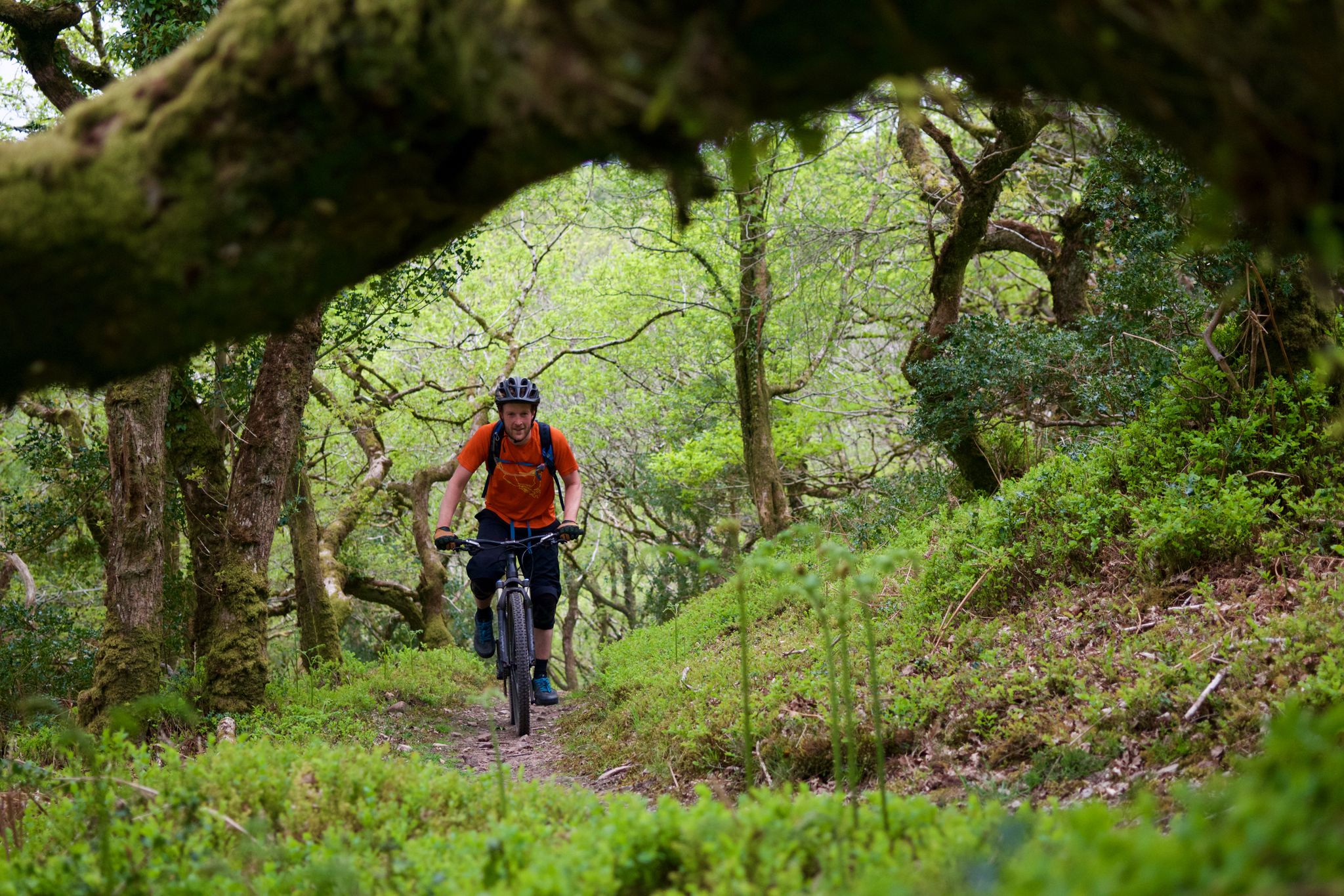
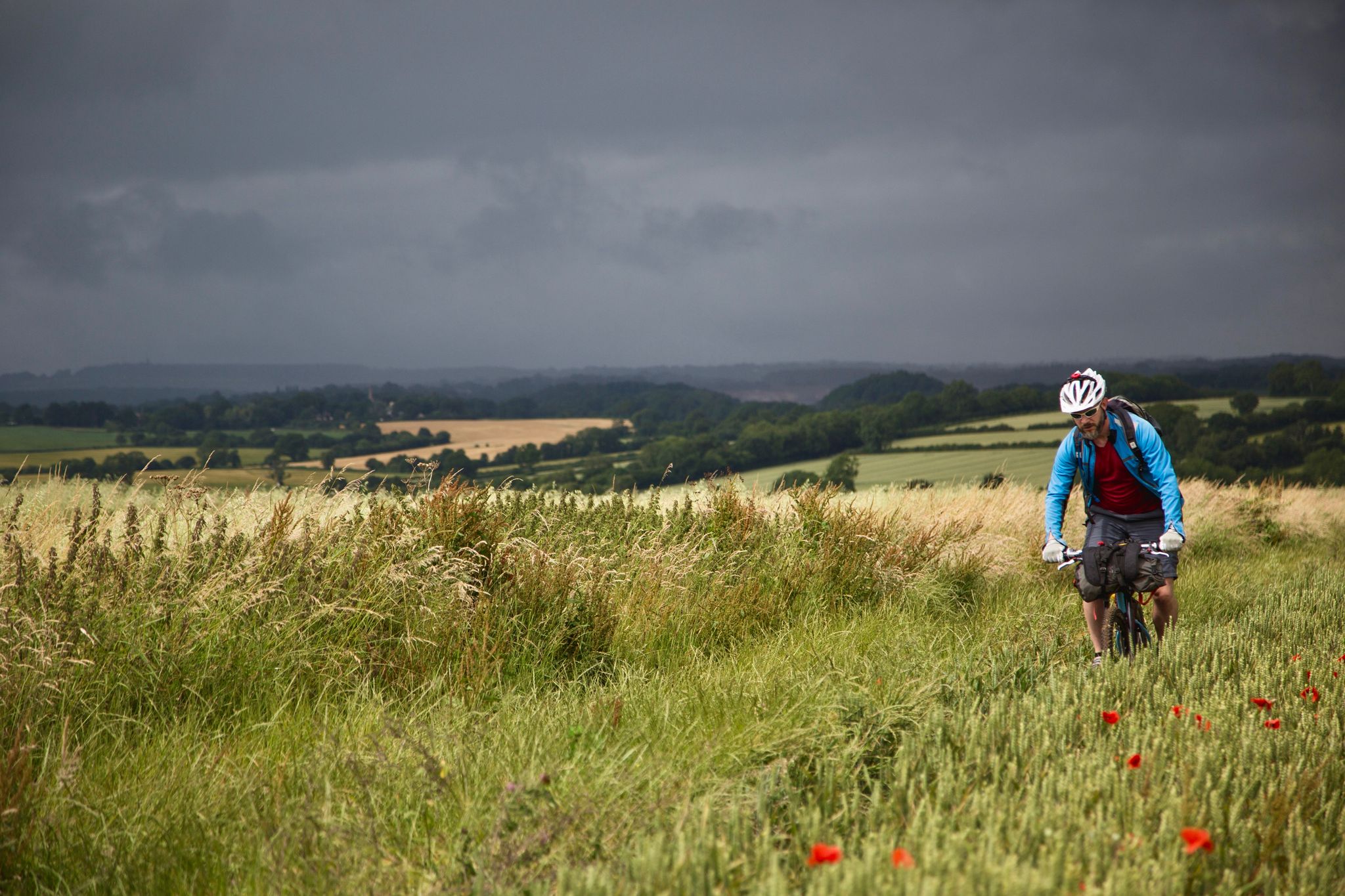
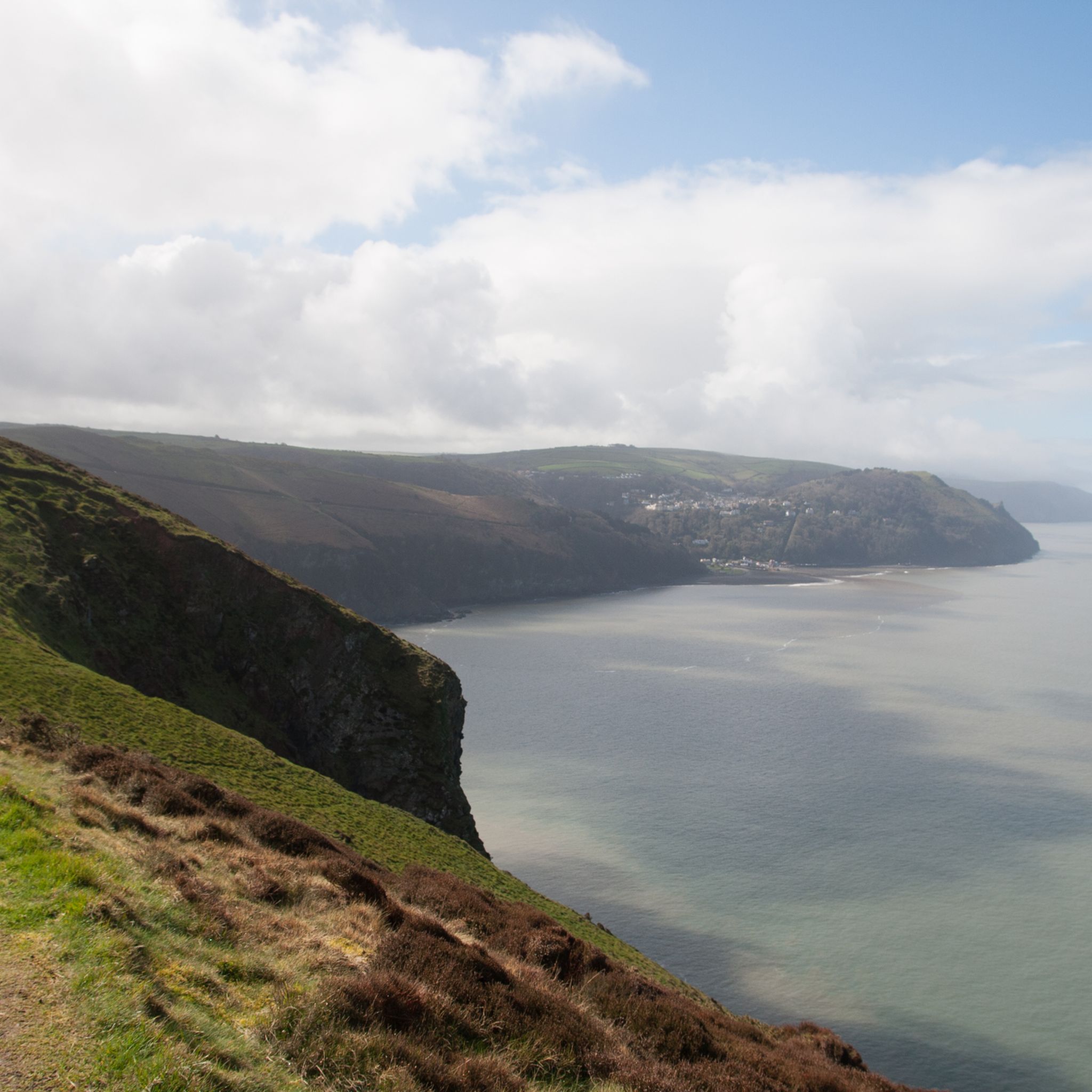
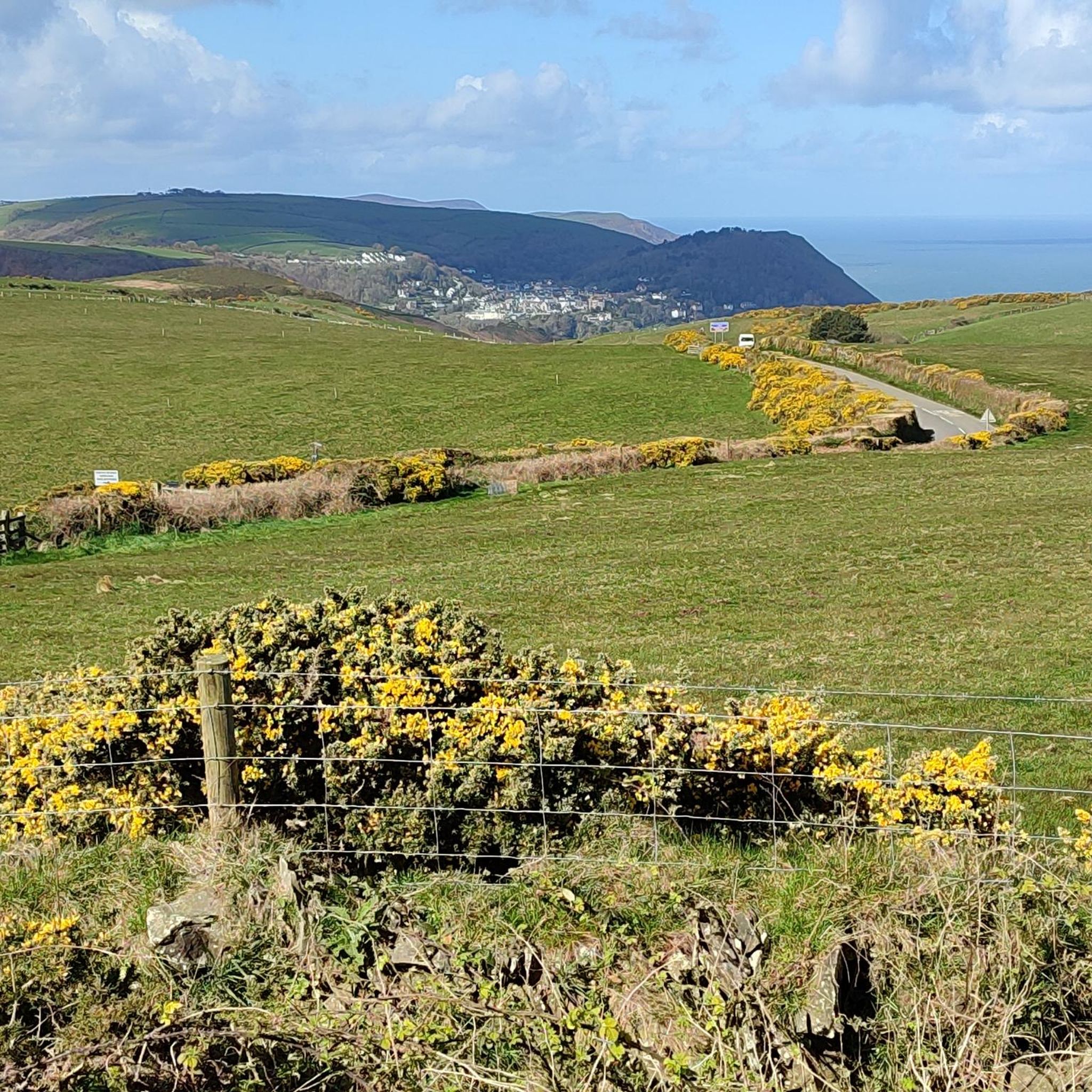
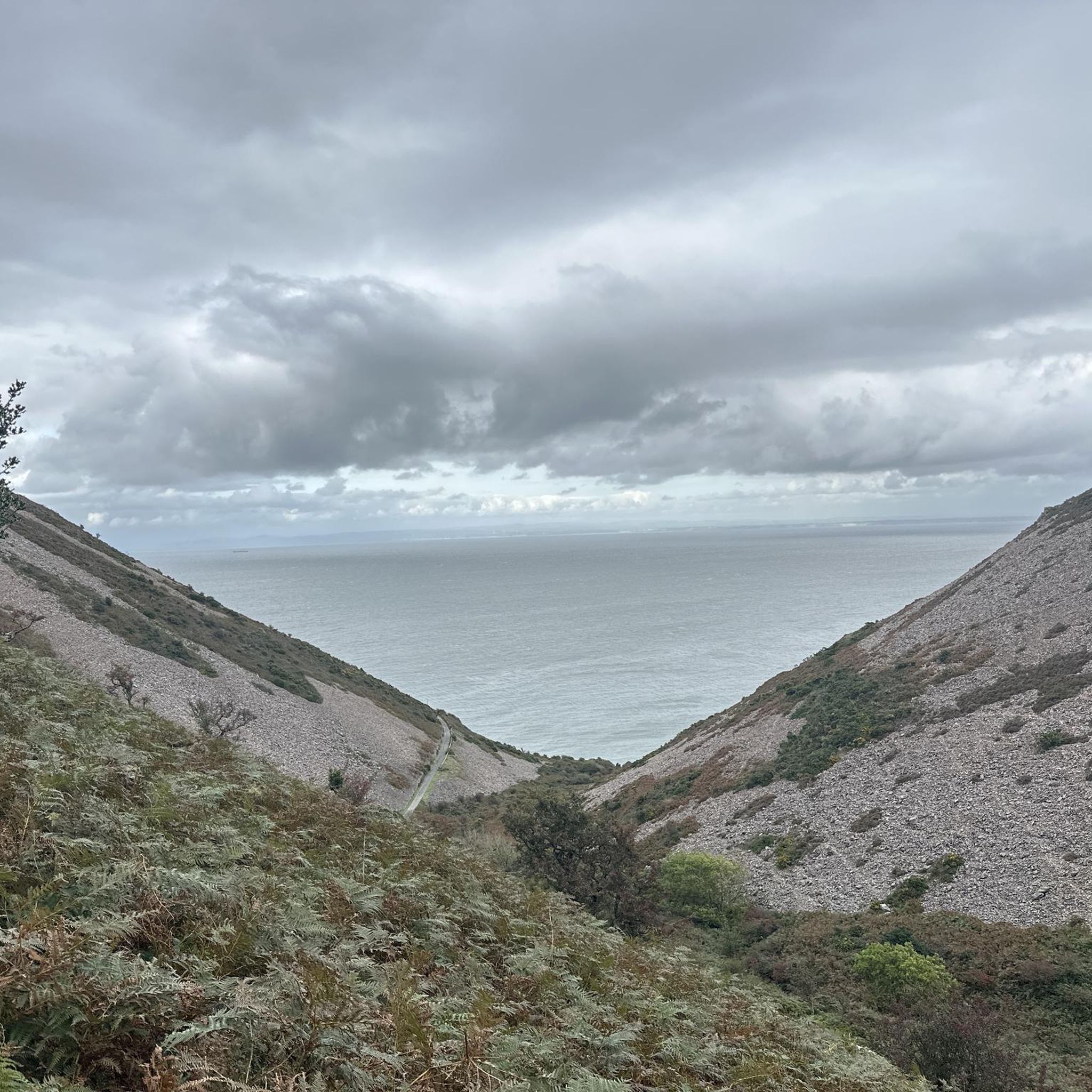
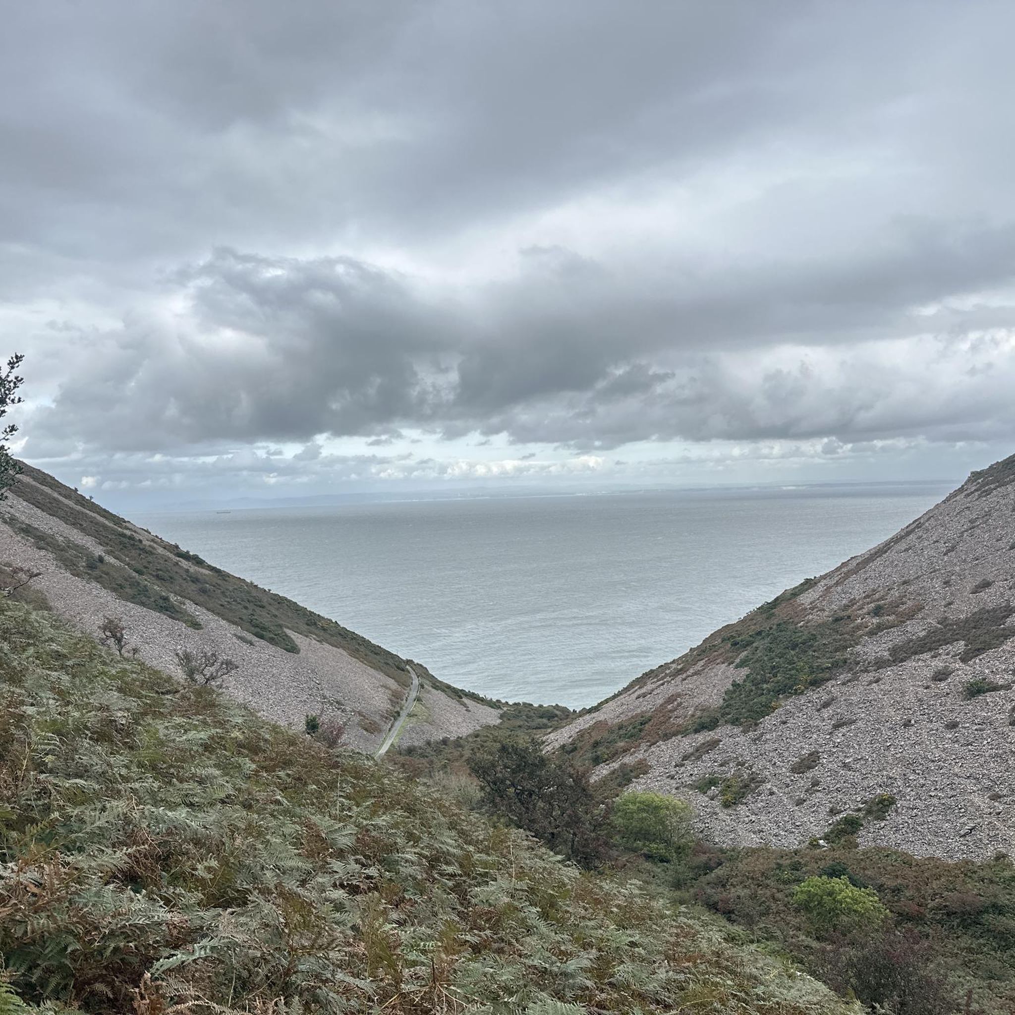
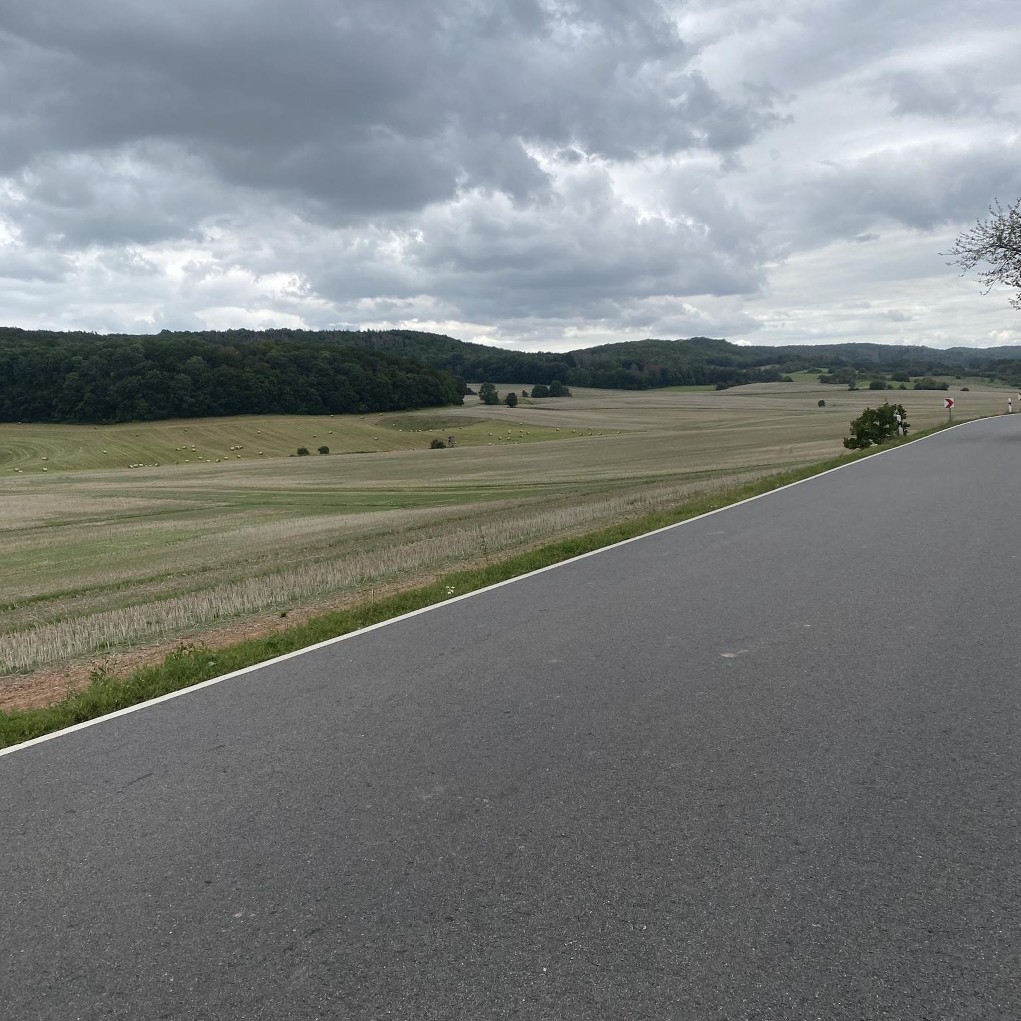
Other adventures around Brendon And Countisbury


Tips from the Community


In season, open between Tuesday and Saturday, 11 til last orders at 3.30. Great for cream teas.
1
0

Lynmouth Hill from Lynmouth is a brutally steep Exmoor ascent, averaging 13% with savage ramps up to 25%. The narrow, twisting road climbs sharply through thick woodland, with smooth tarmac but little let-up in gradient. Start in your easiest gear and stay seated to maintain traction—there’s no warm-up, and the climb hits hard from the first pedal stroke. Watch for sharp bends and limited visibility if traffic is around. It’s a short, intense effort that will leave your legs burning and your heart pounding. Launching straight out of Lynmouth harbour eastwards on the A39, prepare for an immediate and ferocious battle with gravity up Lynmouth Hill. There's no gentle introduction; the road kicks skywards instantly and relentlessly, averaging a punishing 12-13% for the entire ascent. Experience the sustained, intense effort required right from the first pedal stroke, engaging your lowest gears as you fight your way up through the wooded lower slopes. You'll wrestle the bike around tight hairpin bends where the gradient peaks at a formidable 25%, especially on the inside lines. Feel the village shrink rapidly below as, you glimpse the stunning coastal views opening up over the bay. Be mindful of other traffic likely sharing your struggle on this notoriously steep Exmoor A-road. The intense effort only truly relents as you finally reach the slightly gentler ground near Countisbury at the top.
3
0
Tackling Porlock Hill westwards from the village on the A39, prepare for an immediate, brutal ascent. The climb bites hard almost instantly, throwing its infamous 25% ramps at you very early, particularly around the tight hairpins. Experience the intense effort required in your lowest gears, feeling the steepness challenge every pedal stroke. As you winch yourself upwards through the woods, glance back (when safe!) at the rapidly unfolding, stunning views over Porlock Bay. Be aware you'll be sharing this famously steep A-road with other vehicles. After battling the steepest sections, the gradient lessens slightly, but the climb persists relentlessly until you emerge onto the exposed Exmoor moorland at the summit and breathtaking views over the Bristol Channel.
2
0

Absolutely stunning village, beautiful buildings, a lovely woodland trail to west Porlock & the harbour. Oh, and some awesome (and very old) pubs! I went in October & it was still very busy, so I do imagine that it would be quite overwhelming during the summer, too many people (personally, I tend to avoid doing anything during the summer unless it is at a time / location that won't be busy! 😅)
0
0

Porlock Wier is a small, charming, and ancient port within Exmoor National Park. It is very picturesque and surrounded by typical West Somerset coastal hills, which makes it a great place to use as a base for some hiking and biking. As well as activities, it is a thriving little harbour with beautiful scenery, a place to relax and spend some time at.
4
0

Good food and amazing service. Happy to fill water bottles.
0
0
Frequently Asked Questions
How many road cycling routes are available in Brendon And Countisbury?
There are over 45 road cycling routes available in the Brendon And Countisbury area, catering to various skill levels. The komoot community has explored more than 700 of these routes.
What kind of terrain can I expect on road cycling routes in Brendon And Countisbury?
The region is characterized by a rugged coastline along the Bristol Channel, deep river valleys, and expansive inland moorland. Cyclists will encounter varied terrain with significant climbs and descents, providing a challenging yet rewarding experience.
Are there any road cycling routes suitable for beginners in Brendon And Countisbury?
While many routes involve significant climbs, the area offers options across easy, moderate, and difficult ability levels. You can find at least one easy route, alongside 25 moderate and 21 difficult routes, ensuring there's something for every skill level.
What are some notable landmarks or viewpoints I can see while road cycling in the area?
Road cycling routes in Brendon And Countisbury offer stunning views. You can pass by the dramatic cliffs of the Valley of Rocks, enjoy coastal vistas, and experience the lush woodlands and waterfalls around Glen Lyn Gorge. The Lynton & Lynmouth Cliff Railway is also a unique sight, connecting the two charming villages.
Are there any circular road cycling routes in Brendon And Countisbury?
Yes, many of the road cycling routes in Brendon And Countisbury are designed as loops. For example, the Porlock Hill Climb – Simonsbath Village loop from Lynton and Lynmouth and the Porlock Toll Road – View of Porlock Village loop from Oare are popular circular options.
What is the best time of year for road cycling in Brendon And Countisbury?
The region offers diverse cycling experiences throughout the year. While the area is beautiful in summer, the East Lyn River is known for white water rafters in winter, suggesting varied conditions. Consider the dramatic landscapes and potential for challenging weather, especially on exposed moorland, when planning your trip.
Are there any family-friendly road cycling options in Brendon And Countisbury?
While many routes feature significant climbs, there are easier options available. For a unique family experience, the Lynton & Lynmouth Cliff Railway is dog and bike-friendly, allowing you to transport bikes between the villages, potentially opening up shorter, flatter sections for family rides.
Where can I find parking for road cycling routes in Brendon And Countisbury?
Lynton and Lynmouth are excellent starting points for outdoor adventures and typically offer parking facilities. Many routes, such as the Porlock Hill Climb – Simonsbath Village loop, start from these villages, making them convenient for parking.
What do other road cyclists enjoy most about road cycling in Brendon And Countisbury?
The area is highly rated by the komoot community, with an average score of 4.9 stars from over 18 reviews. Cyclists often praise the challenging climbs, expansive moorland views, and scenic coastal roads that define the region's unique character.
Are there any routes that offer views of the famous Porlock Toll Road?
Yes, the Porlock Toll Road – View of Porlock Village loop from Oare is a moderate 21.4-mile path that specifically offers scenic coastal roads and views of Porlock Village, including the famous toll road. Another option is the Lynmouth – Porlock Toll Road loop from Lynton and Lynmouth.
Can I find routes that take me through river valleys and woodlands?
Absolutely. The region is known for its deep river valleys and lush woodlands. The Lynmouth – Porlock Toll Road loop from Lynton and Lynmouth, for instance, leads through rugged coastline and deep river valleys, offering a beautiful natural experience.
Are there any particularly challenging road cycling routes for experienced riders?
Brendon And Countisbury is well-suited for experienced riders seeking a challenge. Routes like the Porlock Hill Climb – Simonsbath Village loop from Lynton and Lynmouth, a 36.6-mile trail with significant elevation gain, and the Valley of Rocks – Combe Martin Beach loop from Lynton and Lynmouth, which covers over 70 km and features substantial climbing, are rated as difficult and provide a demanding ride.
Most popular routes around Brendon And Countisbury
Most popular attractions around Brendon And Countisbury

Get inspired with the komoot mobile app


Explore more
Browse the best Road cycling routes in other regions.
