The best gravel rides around Brendon And Countisbury
4.5
(4)
25
riders
4
rides
Gravel biking around Brendon And Countisbury offers diverse terrain across Exmoor National Park, characterized by high sea cliffs, deep wooded combes, and open moorland. The landscape transitions from coastal hills to dense sessile oak forests and river gorges, providing varied surfaces for cyclists. Routes often combine unpaved paths, country lanes, and bridleways, making the area suitable for exploring on a gravel bike.
Best gravel bike trails around Brendon And Countisbury
- The most popular gravel bike trail is Withypool Stone Bridge…
Last updated: May 17, 2026
3
riders
35.6km
03:11
760m
760m
Hard gravel ride. Very good fitness required. Mostly paved surfaces. Suitable for all skill levels.
8
riders
30.4km
02:37
560m
560m
Hard gravel ride. Very good fitness required. Mostly paved surfaces. Suitable for all skill levels.

Sign up for free
4.5
(2)
6
riders
21.4km
01:42
380m
380m
Moderate gravel ride. Good fitness required. Mostly paved surfaces. Suitable for all skill levels.
4.5
(2)
8
riders
24.4km
01:50
530m
530m
Hard gravel ride. Very good fitness required. Mostly paved surfaces. Suitable for all skill levels.
Our route recommendations are based on thousands of hikes, rides, and runs completed by other people on komoot.
Start today with a free account
Your next adventure awaits.
Login or Signup
Popular around Brendon And Countisbury
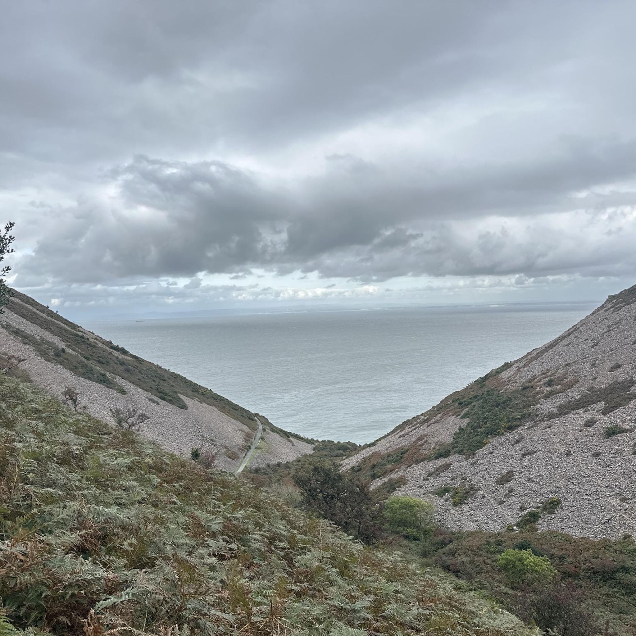
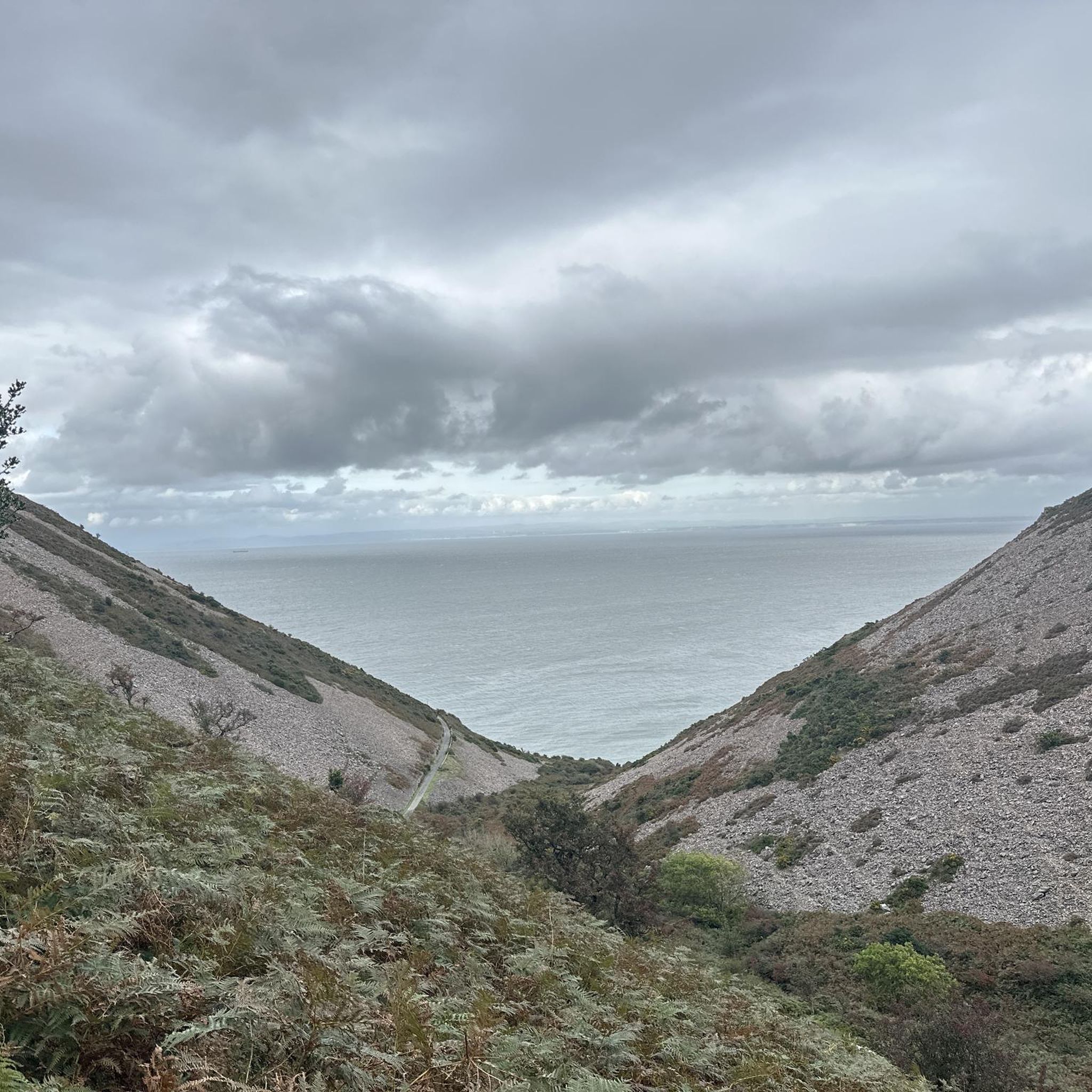
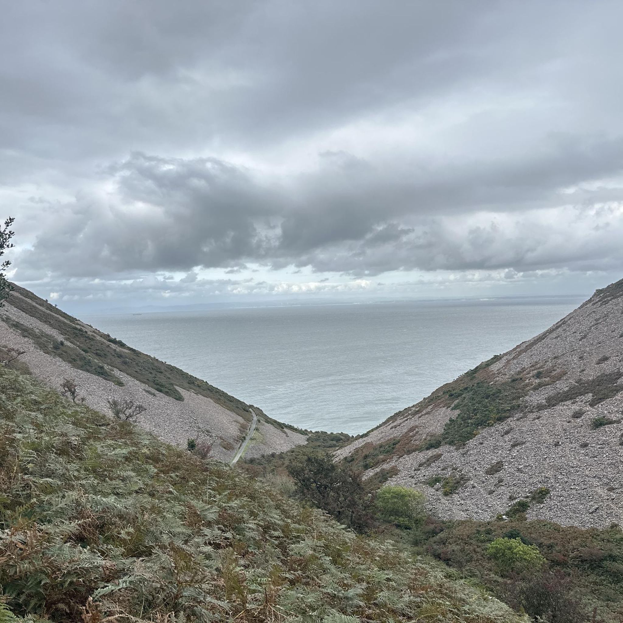
Other adventures around Brendon And Countisbury


Tips from the Community

very nice hike with a view of the sea
1
0

Get in touch with Lee Abbey before arriving to ensure they can welcome you and give you a passport to stamp.
0
0
Pick up your passport at reception. If you're in time for 8am you can join community prayers and be blessed as you go! Grab a leaflet about Lee Abbey, year round courses and retreats are offered.
0
0


This is a scenic ride with phenomenal views out to Lee Bay and Crock Point. Lee Abbey is nearby with a café and restrooms.
1
0


Dropping down throught the trees and to the river feels prehistoric and anathama to the bare moorland above. Refil water in the stream and carry on towards the coast.
0
0
What a wonderful bridleway this is. Amazing valley views and some techky delight to be had to. This trail skirts the river then heads out the top of the valley.
1
0
Frequently Asked Questions
How many gravel bike trails are available in Brendon And Countisbury?
There are 5 gravel bike trails documented in Brendon And Countisbury on komoot, offering a range of experiences across Exmoor National Park. These include 1 moderate route and 4 more challenging, difficult routes.
What kind of terrain can I expect on gravel bike trails in Brendon And Countisbury?
The terrain in Brendon And Countisbury is incredibly diverse, featuring high sea cliffs, deep wooded combes, tumbling rivers, and open moorland. You'll encounter a mix of unpaved paths, country lanes, and bridleways, often transitioning from coastal hills to dense sessile oak forests and river gorges. Expect varied surfaces and significant elevation changes on many routes.
Are there any family-friendly gravel biking options in the area?
While many routes in Brendon And Countisbury are rated moderate to difficult due to elevation and varied terrain, some sections of the wider trail network, like parts of the Tarka Trail or Coleridge Way, might offer gentler stretches suitable for families. For a moderate option, consider the Watersmeet Trail – Badgworthy Wood Trail loop from Malmsmead, which leads through picturesque river valleys and woodlands.
What are some notable natural attractions I can see while gravel biking?
Brendon And Countisbury is rich in natural beauty. You can explore the dramatic Valley of Rocks with its unique rock formations and feral goats, or the beautiful Watersmeet Valley, known for its riverside woodlands and where the Hoar Oak Water meets the East Lyn River. The Glen Lyn Gorge also offers stunning views and waterfalls.
Are there any circular gravel bike routes in Brendon And Countisbury?
Yes, several routes in the area are designed as loops. For example, the Withypool Stone Bridge – Wheal Eliza mine ruins loop from Simonsbath is a 30.4 km route navigating varied Exmoor landscapes. Another option is the Dunkery Beacon Summit – Dunkery Beacon Summit loop from Malmsmead, which offers expansive moorland views.
What do other gravel bikers say about the trails in Brendon And Countisbury?
The gravel biking routes in Brendon And Countisbury are highly rated by the komoot community, with an average score of 4.8 stars from several reviews. Riders often praise the diverse landscapes, from coastal views to deep wooded combes and open moorland, and the variety of challenging routes available.
Can I bring my dog on the gravel bike trails?
Exmoor National Park is generally dog-friendly, but it's crucial to keep dogs under close control, especially on moorland where livestock and ground-nesting birds are present. Always check specific trail regulations or signage, and be mindful of other users and wildlife. Many trails, particularly bridleways and country lanes, are suitable for cycling with a well-behaved dog on a lead.
Where can I find parking for gravel biking in Brendon And Countisbury?
Parking is available in and around the villages of Lynton and Lynmouth, which serve as central hubs for exploring the area. Many trailheads, particularly those starting from villages like Malmsmead or Simonsbath, will have designated parking areas. It's advisable to check local parking information for specific starting points before your ride.
Are there any historical sites or villages to explore along the routes?
Absolutely. The twin villages of Lynton and Lynmouth, often called 'Little Switzerland,' are central to the area's charm and offer access to the moor and historic houses. You might also encounter historical points of interest like the Wind Hill Iron Age fort or Countisbury Mill along routes that follow sections of the Coleridge Way.
What is the best time of year for gravel biking in Brendon And Countisbury?
The spring and autumn months generally offer the most pleasant conditions for gravel biking in Brendon And Countisbury, with milder temperatures and beautiful scenery. Summer can be excellent, but trails may be busier. Winter riding is possible, but be prepared for potentially wet and muddy conditions, especially in wooded combes, and check weather forecasts for Exmoor's exposed moorland.
Are there any routes that offer coastal views?
Yes, the region is known for its stunning coastal scenery. Routes that traverse the higher ground near Countisbury or incorporate sections of the South West Coast Path will offer panoramic vistas across the Bristol Channel. The Lynton Old Town – Valley of Rocks loop from Lynton and Lynmouth, for instance, provides excellent opportunities for coastal views.
Can I access the gravel trails using public transport?
Public transport options to Exmoor National Park and its villages exist, though they may be limited. The Lynton & Lynmouth Cliff Railway, a historic water-powered railway, can transport bikes between the two villages, making it easier to access different elevations and trail networks. Check local bus services for connections to other starting points within the park.
Are there any challenging routes for experienced gravel bikers?
Yes, Brendon And Countisbury offers several challenging routes. Four of the five routes listed on komoot are rated as difficult. The Dunkery Beacon Summit – Dunkery Beacon Summit loop from Malmsmead, for example, is a 35.6 km path with significant elevation gain, offering expansive views across the moorland and a demanding ride for experienced cyclists.
Most popular routes around Brendon And Countisbury
Most popular attractions around Brendon And Countisbury

Get inspired with the komoot mobile app


Explore more
Browse the best Gravel rides in other regions.
