The best MTB trails around Drin
17
riders
3
rides
Mountain biking around Drin offers diverse and rugged landscapes, characterized by mountainous terrain, deep canyons, and expansive lakes. The region's topography provides a rich environment for challenging ascents, technical descents, and scenic rides through varied ecosystems. Riders can explore trails that wind through alpine scenery, alongside artificial lakes, and through areas recognized for their significant biodiversity. This combination of dramatic natural features makes the Drin region a compelling destination for mountain biking.
Best mountain bike trails around Drin
- The most…
Last updated: August 7, 2026
54.1km
04:02
970m
980m
Hard mountain bike ride. Very good fitness required. Suitable for all skill levels.
13
riders
Easy mountain bike ride. Great for any fitness level. Suitable for all skill levels.

Sign up for free
2
riders
58.6km
03:37
750m
750m
Moderate mountain bike ride. Good fitness required. Suitable for all skill levels.
2
riders
65.9km
04:33
1,040m
1,040m
Hard mountain bike ride. Very good fitness required. Suitable for all skill levels.
Our route recommendations are based on thousands of hikes, rides, and runs completed by other people on komoot.
Start today with a free account
Your next adventure awaits.
Login or Signup
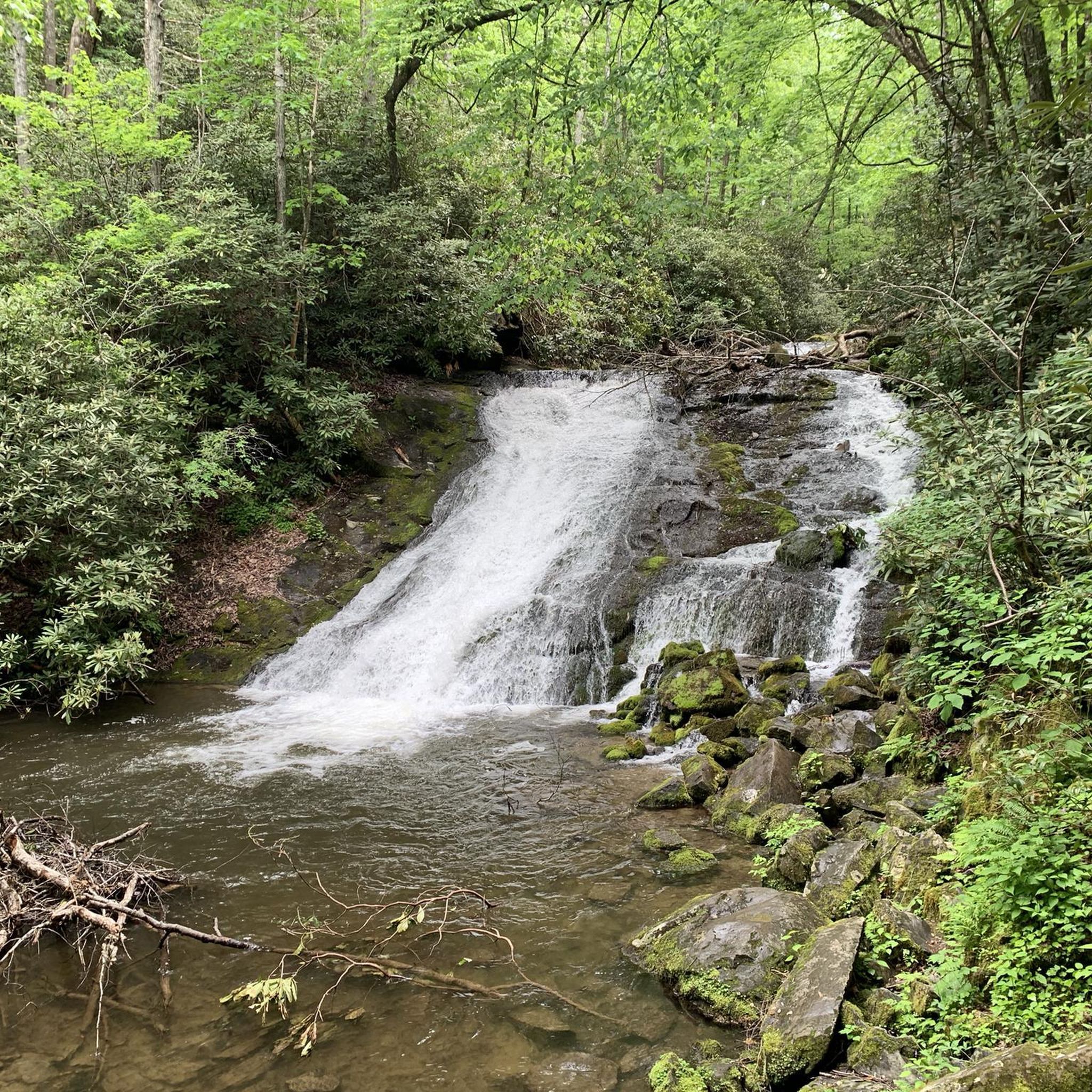
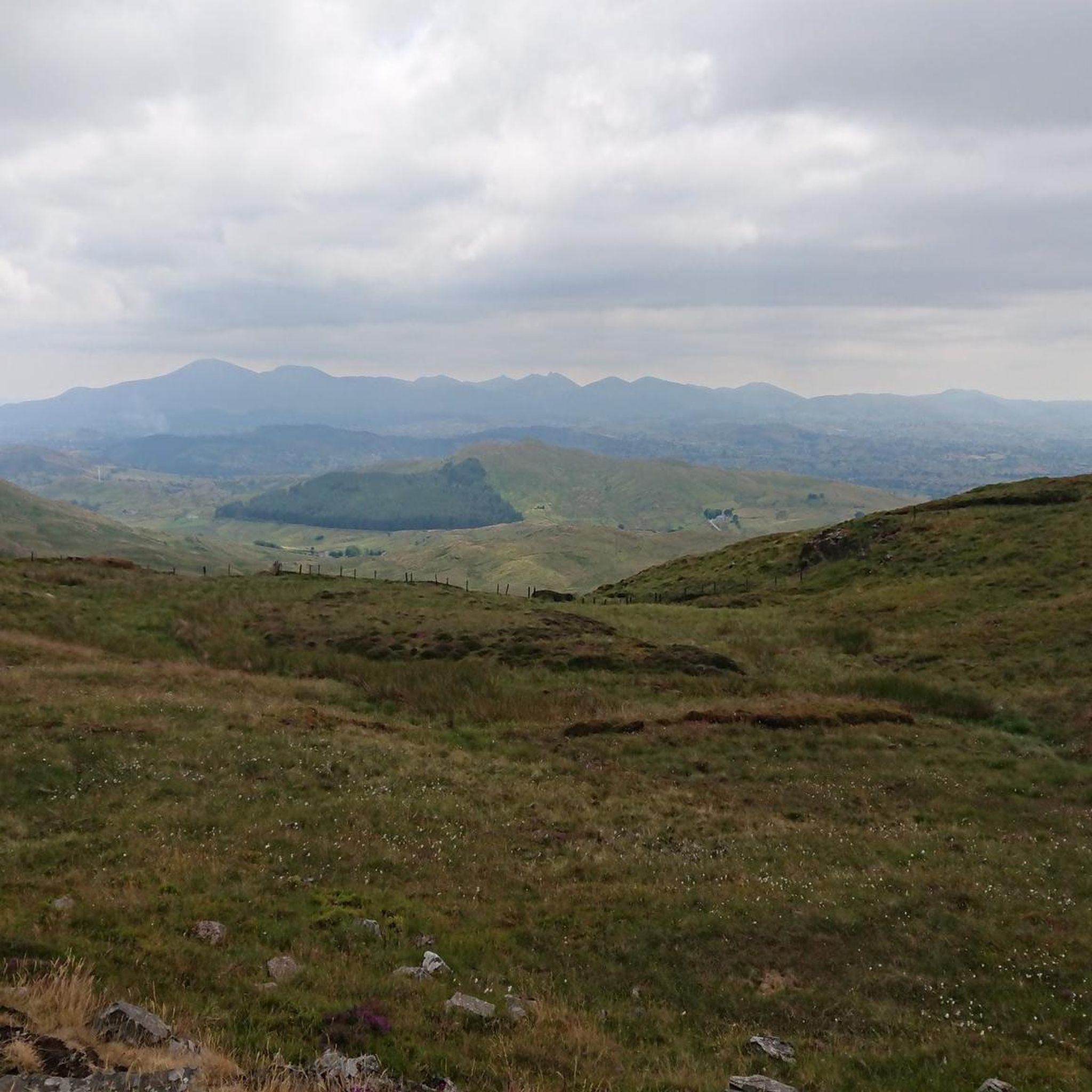
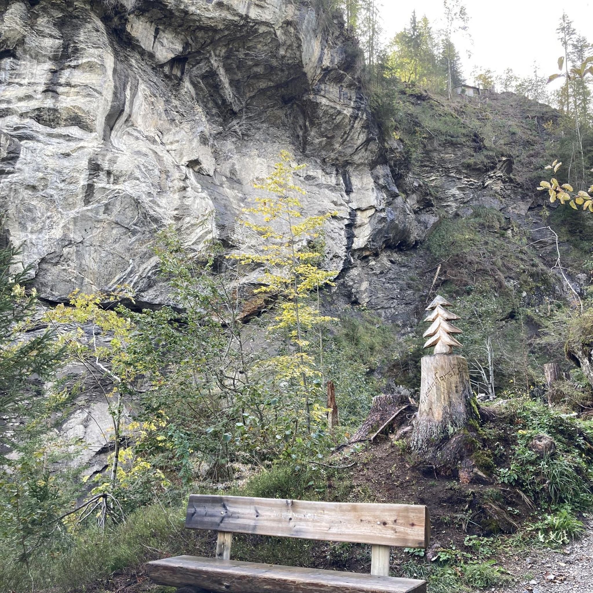
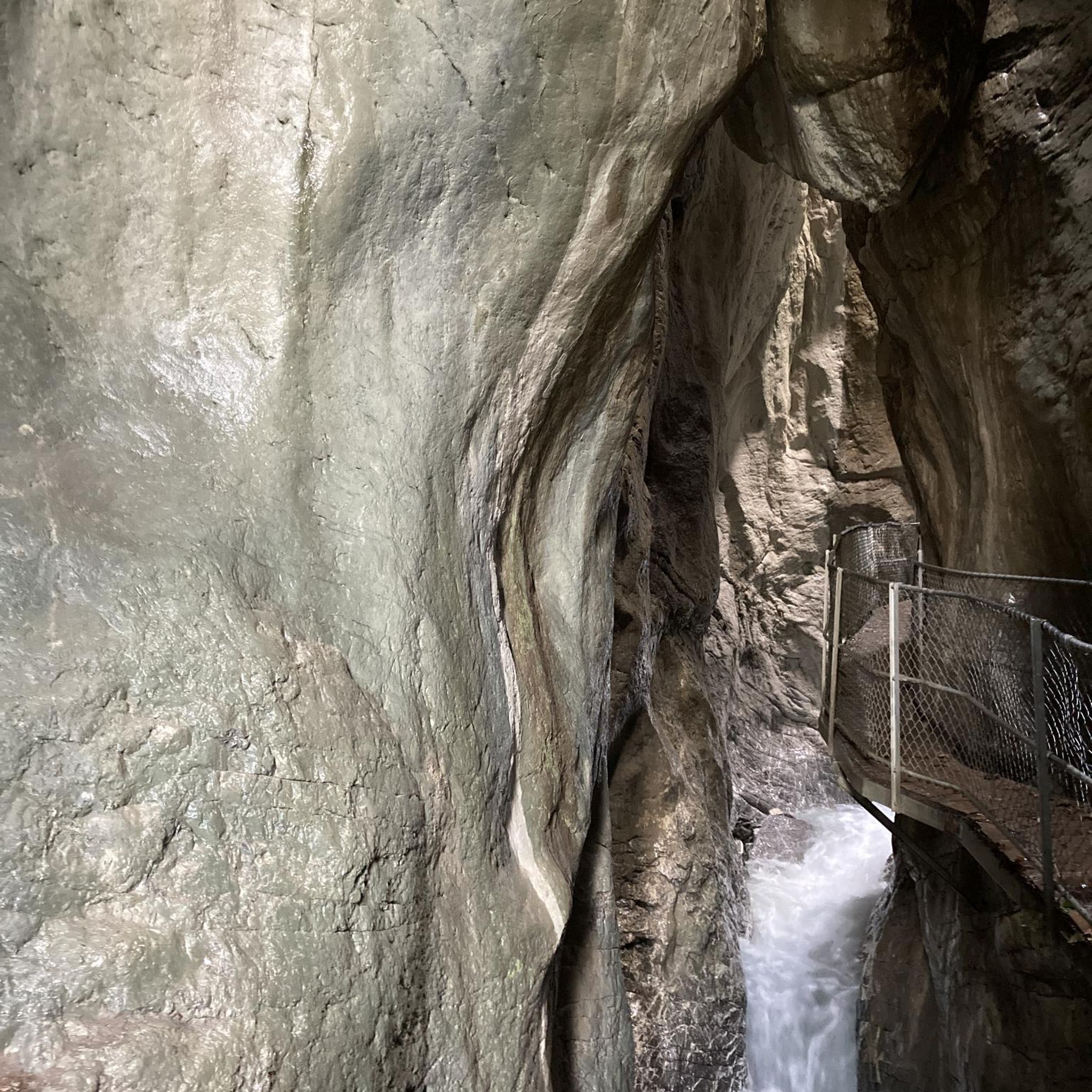
Tips from the Community

A beautiful reservoir surrounded by forest including a beautiful castle
0
0

The Perfectly kept motte and bailie is placed in a bend of the Lagan River with extensive views along the valley. It is the best preserved and most impressive example in Ulster of an Anglo-Norman motte and bailey castle.
0
0
See if you can find your way to the peace bell in the centre of the maze. Castlewellan Peace Maze, is one of the world's largest permanent hedge mazes representing the puzzle that was to become a peaceful future for Northern Ireland. To encourage a sense of common ownership, the maze was planted by people from all over Northern Ireland, plus nearly 4,000 school children. Planted in 2000
0
0

Drumkeeragh is a beautiful coniferous woodland located in the southern region of Northern Ireland. The forest is in a mountaineous area, creating an elevated position to enjoy far-reaching views toward the Mourne Mountains, coastline & surrounding lush counyside.
1
0

Built by Hugh Annesley in 1884 and used by the Annesley family as a tea house. Brilliant view of the lake and forest around it, with some excellent mixed terrain trails to explore.
1
0

It's a shame that the best view of the whole trail is on one of the most fun sections. So the choice is yours, enjoy the fast flowy section or pull over and enjoy the view!
1
0

Easy mountain bike trail section with no technical features.
2
0
Small pump track located at trailhead. Can be quite busy.
2
0
Frequently Asked Questions
What kind of terrain can I expect when mountain biking in the Drin region?
The Drin region is characterized by diverse and rugged landscapes, including mountainous terrain, deep canyons, and expansive artificial lakes. You'll find trails offering challenging ascents, technical descents, and scenic rides through alpine scenery and areas rich in biodiversity. The topography provides a mix of experiences, from following river valleys to navigating more remote, impassable landscapes.
Are there mountain bike trails suitable for beginners or families in Drin?
Yes, the Drin region offers routes suitable for various skill levels. For an easier ride with scenic views, consider the Castlewellan Lake loop from Castlewellan, which is 5.8 miles (9.3 km) long and features gentle gradients around the lake. Another accessible option is the Mountainbike loop from Leitrim, a 3.5 miles (5.7 km) trail through varied landscapes.
What are some challenging mountain bike trails in the Drin area?
For experienced riders seeking a challenge, the Drin region offers demanding routes. The Castlewellan Lake loop from Ballynahinch is a difficult 33.6 miles (54.1 km) trail with significant elevation gain. Another difficult option is the Drumkeeragh Forest Park loop from Dromore, spanning 40.9 miles (65.8 km) with over 1000 meters of ascent.
Are there any circular mountain bike routes in Drin?
Yes, many of the mountain bike trails in the Drin region are designed as loops, allowing you to start and finish at the same point. Examples include the Castlewellan Lake loop from Ballynahinch, the Castlewellan Lake loop from Castlewellan, and the Mountainbike loop from Leitrim.
What kind of attractions or viewpoints can I find along the mountain bike trails in Drin?
While exploring the Drin region, you can encounter various points of interest. Notable viewpoints include the Slieve Croob Summit and scenic vistas like the View of Castlewellan Castle. You might also pass by historical sites such as the Harry Ferguson Memorial Garden or natural monuments like the Legananny Dolmen.
What is the best time of year for mountain biking in the Drin region?
The Drin region, with its mountainous terrain, is generally best for mountain biking during the warmer, drier months. Spring and autumn often provide pleasant temperatures and stable weather conditions, ideal for tackling the varied trails. Summer can also be suitable, though some areas might experience higher temperatures or occasional thunderstorms. Winter can bring snow and ice, making many trails impassable or significantly more challenging.
Are there any specific mountain biking tours or initiatives in the Drin River area?
Yes, the Drin River area is gaining recognition for adventure tourism. Companies like 'Black Drin Adventure' offer specific mountain biking tours, such as the 'Velivar MTB TOUR' in Dibër, Albania, which explores rugged trails and alpine landscapes. The region is also part of broader cycling initiatives like the Trans Dinarica, a long-distance cycling trail connecting Western Balkan countries, offering diverse journeys through mountains and valleys.
What do other mountain bikers say about the trails in Drin?
The mountain bike trails in Drin are highly rated by the komoot community, with an average score of 5.0 stars from over 3 reviews. More than 100 mountain bikers have used komoot to explore Drin's varied terrain, often praising the challenging climbs, scenic descents, and the diverse natural beauty of the region.
Can I bring my dog on the mountain bike trails in Drin?
While specific regulations for each trail can vary, many natural areas and trails in the Drin region are generally dog-friendly. It's always recommended to keep your dog on a leash, especially in areas with wildlife or other trail users, and to carry waste bags. Check local signage at trailheads for any specific restrictions or requirements.
Are there options for public transport or parking near the mountain bike trails in Drin?
Information on specific public transport links directly to trailheads in the rugged Drin region can be limited, as many trails are in more remote areas. However, larger towns and villages in the vicinity may offer bus services. For parking, many trailheads or popular starting points for routes, especially around lakes or forest parks, typically have designated parking areas. It's advisable to check the route details on komoot for specific parking information for your chosen trail.
What is the overall difficulty level of mountain biking in the Drin region?
The Drin region offers a range of mountain biking difficulties. While there are easier, family-friendly loops, the area is predominantly known for its challenging and rugged terrain. You'll find a mix of moderate and difficult routes featuring significant elevation changes, technical sections, and long distances, catering to intermediate and advanced riders looking for an adventurous experience.
Most popular routes around Drin
Most popular attractions around Drin

Get inspired with the komoot mobile app


Explore more
Browse the best MTB trails in other regions.
