The best mountain hikes around Landkreis Rosenheim
4.7
(1341)
15,189
hikers
396
hikes
Mountaineering routes around Landkreis Rosenheim are characterized by a diverse and striking natural landscape, featuring a mountainous backdrop with 167 named mountains. The region encompasses varied elevations and terrains, from rugged alpine environments to gentle foothills, alpine meadows, and forests. Notable features include prominent peaks like Großer Traithen and Geigelstein, as well as scenic valleys and lakes such as Chiemsee and Simssee. This geographical composition offers a wide range of challenging ascents and engaging trails for mountaineers.
Best mountaineering routes around Landkreis Rosenheim
- The most popular mountaineering route is Kampenwand East Summit – View of Chiemsee loop from Wald-Wild-Schongebiet, a 6.9 miles (11.1 km) trail that takes 4 hours 41 minutes to complete. This difficult route offers panoramic views, including Lake Chiemsee from the Kampenwand East Summit.
- Another top favourite among local mountaineers is Geigelstein Summit – Bench With a View of Sachrang loop from Sachrang, a difficult 11.8 miles (19.1 km) path. This challenging ascent leads to the Geigelstein Summit, providing extensive views of the surrounding alpine landscape.
- Local mountaineers also love the View of Chiemsee – Kampenwand East Summit loop from Aschau im Chiemgau, an 8.6 miles (13.9 km) trail leading through mountainous terrain with views of Lake Chiemsee, often completed in about 5 hours 46 minutes.
- Mountaineering around Landkreis Rosenheim is defined by a mountainous backdrop, alpine meadows, and forests, with the striking Kaiser massif forming a dramatic backdrop. The network offers options for various ability levels, from moderate ascents to difficult summit routes.
- The routes in Landkreis Rosenheim are highly rated by the komoot community with an average score of 4.7 stars from more than 1,300 reviews. More than 16,000 mountaineers have used komoot to explore Landkreis Rosenheim's varied terrain.
Last updated: July 8, 2026
4.8
(73)
694
hikers
Hard mountaineering route. Good fitness required. Sure-footedness, sturdy shoes and alpine experience required.
4.7
(62)
594
hikers
19.0km
07:12
1,090m
1,090m
Hard mountaineering route. Very good fitness required. Mostly accessible paths. Sure-footedness required.

Sign up for free
4.7
(50)
509
hikers
Hard mountaineering route. Very good fitness required. Sure-footedness, sturdy shoes and alpine experience required.
4.6
(49)
472
hikers
Hard mountaineering route. Good fitness required. Sure-footedness, sturdy shoes and alpine experience required.
4.7
(49)
517
hikers
9.21km
04:33
760m
760m
Moderate mountaineering route. Good fitness required. Mostly accessible paths. Sure-footedness required.
5.0
(21)
206
hikers
10.9km
04:36
660m
660m
Hard mountaineering route. Good fitness required. Sure-footedness, sturdy shoes and alpine experience required.
4.8
(33)
317
hikers
10.1km
04:47
800m
800m
Moderate mountaineering route. Good fitness required. Mostly accessible paths. Sure-footedness required.
4.7
(28)
263
hikers
12.2km
04:26
670m
670m
Moderate mountaineering route. Good fitness required. Mostly accessible paths. Sure-footedness required.
4.7
(22)
215
hikers
Hard mountaineering route. Very good fitness required. Sure-footedness, sturdy shoes and alpine experience required.
4.8
(20)
233
hikers
11.4km
04:24
790m
790m
Moderate mountaineering route. Good fitness required. Mostly accessible paths. Sure-footedness required.
Get access to more routes and recommendations from other explorers.
Sign up for free
Already have an account?
Our route recommendations are based on thousands of hikes, rides, and runs completed by other people on komoot.
Start today with a free account
Your next adventure awaits.
Login or Signup
Popular around Landkreis Rosenheim

Mountain Hikes around Chiemsee
Mountain Hikes around Aschau im Chiemgau
Mountain Hikes around Samerberg
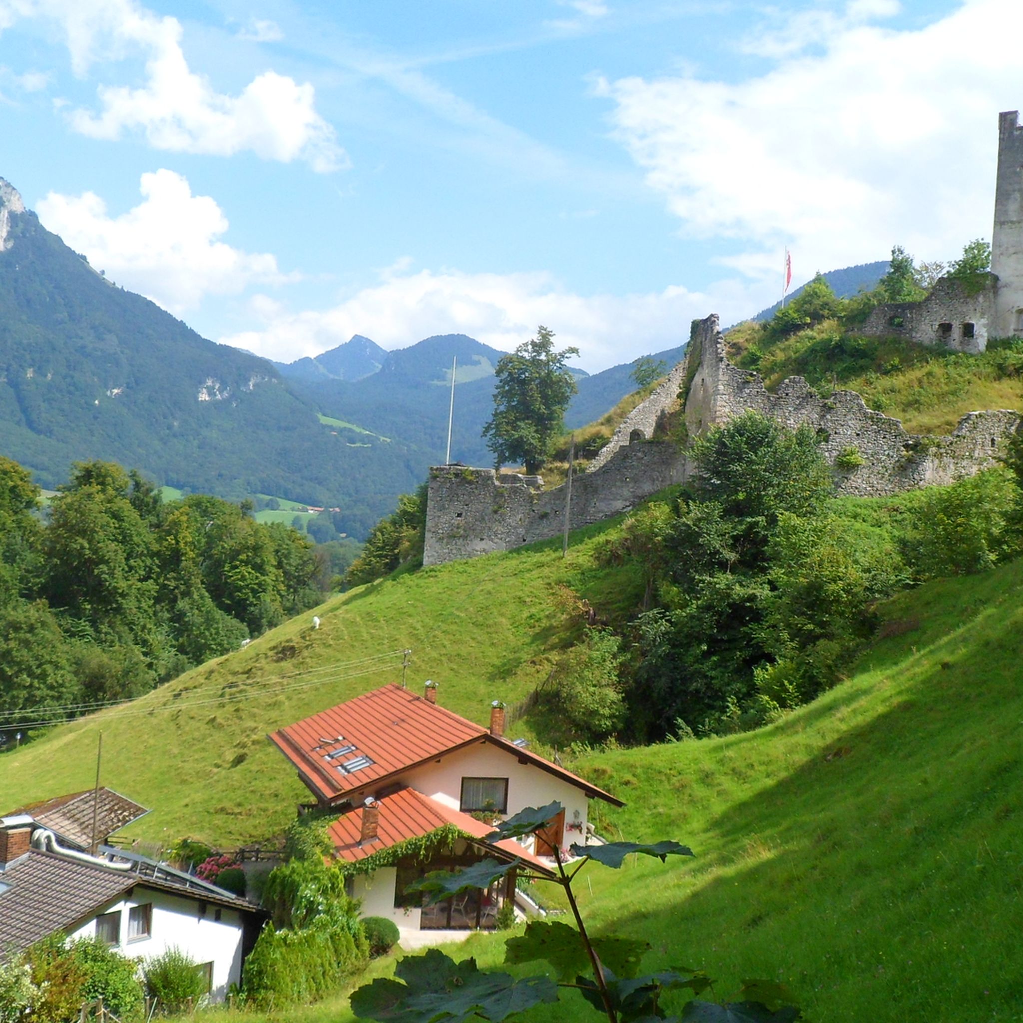
Mountain Hikes around Oberaudorf
Mountain Hikes around Brannenburg
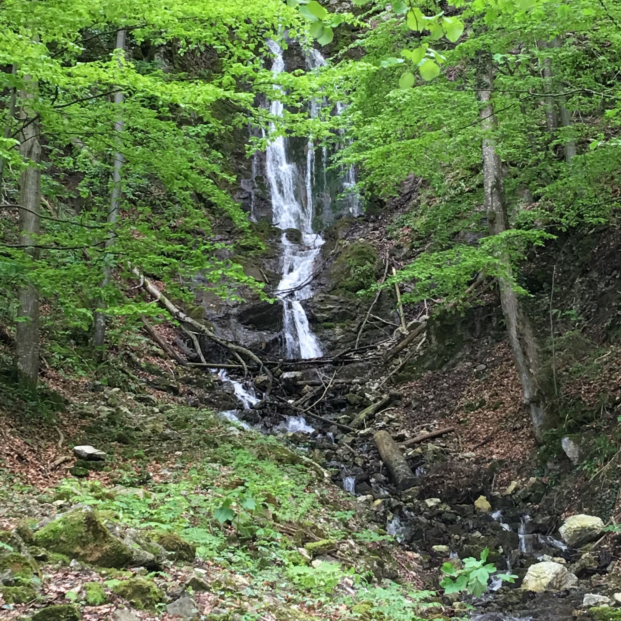
Mountain Hikes around Flintsbach am Inn

Mountain Hikes around Prien am Chiemsee
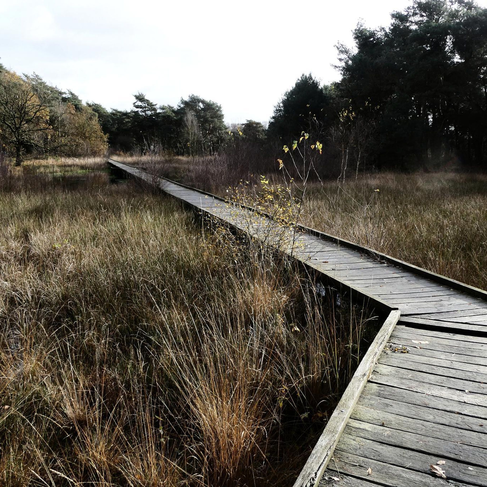
Mountain Hikes around Nußdorf am Inn
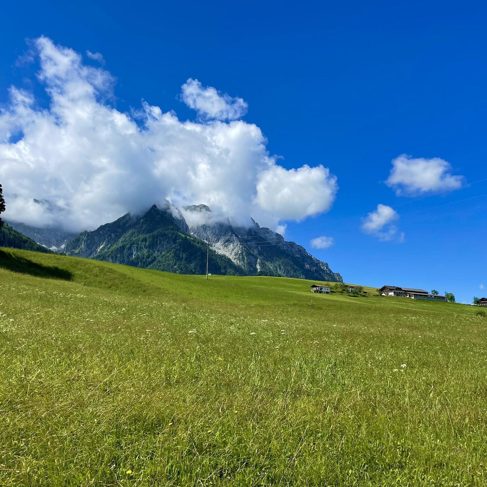
Mountain Hikes around Bad Feilnbach
Mountain Hikes in Moore Um Raubling
Other adventures around Landkreis Rosenheim


Tips from the Community

Very steep and lots of scree, stones, rocks and roots.
0
0

Beautiful descent from Dalsensattel into Priental
0
0

Day ticket €5, be there early on the weekend as it gets very busy.
0
0


At the Schreckalm there are detailed information panels about the Geigelstein area.
0
0

...a beautiful hike, partly without a path, to the summit via the mast of the cable car - from the bike depot at the Bundeswehr parking lot at the end of the Almstraße to the Lacheralmen. https://www.komoot.com/de-DE/highlight/5965536?ref=ihd ...
1
0

Chilled drinks for self-service at the Schreckalm
1
1
Frequently Asked Questions
How many mountaineering routes are available in Landkreis Rosenheim?
Landkreis Rosenheim offers a vast network of over 400 mountaineering routes, catering to various skill levels. This includes 11 easy routes, 188 moderate routes, and 213 difficult routes, ensuring there's a suitable option for every mountaineer.
Are there any easy or moderate mountaineering routes suitable for beginners in Landkreis Rosenheim?
Yes, there are several options for those seeking less strenuous ascents. For a moderate experience, consider the Hohe Asten mountain inn – Falkenstein Castle Ruins loop from Flintsbach. This route covers about 10.9 km and takes around 4 hours to complete, offering a rewarding experience without extreme difficulty.
What kind of scenic views can I expect on mountaineering routes in Landkreis Rosenheim?
The region is renowned for its breathtaking panoramas. Many routes offer stunning views of Lake Chiemsee, the Chiemgau region, and the dramatic Kaiser massif. Peaks like Wendelstein, Kampenwand, and Hochries are particularly known for their impressive vistas. For example, the Kampenwand East Summit – View of Chiemsee loop from Wald-Wild-Schongebiet provides exceptional views of Lake Chiemsee.
Are there circular mountaineering routes available in Landkreis Rosenheim?
Many of the mountaineering routes in Landkreis Rosenheim are designed as loops, allowing you to start and end at the same point. An excellent example is the Heuberg Summit – Heuberg Summit loop from Wildschutzgebiet Feichteck, a challenging 7.7 km route that offers a complete circular experience.
What natural attractions or landmarks can I see along the mountaineering routes in Landkreis Rosenheim?
Beyond the mountain peaks, the region boasts several natural wonders. You can explore the easily accessible Giessenbach Gorge or witness the impressive Tatzelwurm Waterfalls. These highlights offer engaging diversions and add to the natural beauty of your mountaineering adventure.
Are there any mountaineering routes in Landkreis Rosenheim that lead to mountain huts or inns?
Yes, several routes provide opportunities to stop at traditional mountain inns (Berggasthof). For instance, the Taubenstein Summit Cross – Frasdorfer Hut loop from Frasdorf is a moderate 12.2 km route that includes the Frasdorfer Hut, perfect for a break and refreshments.
What is the best time of year for mountaineering in Landkreis Rosenheim?
The best time for mountaineering typically spans from late spring through early autumn (May to October), when trails are generally clear of snow and weather conditions are more stable. However, conditions can vary, so always check local forecasts before heading out.
Are there dog-friendly mountaineering trails in Landkreis Rosenheim?
Many trails in Landkreis Rosenheim are suitable for dogs, provided they are kept on a leash and you adhere to local regulations, especially in conservation areas like Geigelstein. Always ensure your dog is fit for the chosen route and carry enough water for both of you. The Hofbauernalm – Sonnwendwand Summit loop from Wildschutzgebiet Grattenbach is a moderate option that many dog owners enjoy.
Are there family-friendly mountaineering options in Landkreis Rosenheim?
While many routes are challenging, there are also easier paths suitable for families. Look for routes with lower difficulty ratings and shorter distances. The region's diverse terrain includes gentle foothills and alpine meadows that are more accessible for younger hikers or those seeking a leisurely pace.
How accessible are the mountaineering routes in Landkreis Rosenheim by public transport?
Access to some trailheads is possible via public transport, particularly to larger towns like Aschau im Chiemgau or Sachrang. For example, the Geigelstein Summit – Bench With a View of Sachrang loop from Sachrang starts directly from the village of Sachrang, which can be reached by bus. It's advisable to check local bus schedules for specific starting points.
What do other mountaineers enjoy most about the routes in Landkreis Rosenheim?
The mountaineering routes in Landkreis Rosenheim are highly rated by the komoot community, with an average score of 4.7 stars from over 1,300 reviews. Reviewers often praise the diverse landscapes, from rugged alpine environments to serene meadows, and the stunning panoramic views, especially those encompassing Lake Chiemsee and the surrounding peaks.
Are there any routes that offer views of the prominent peaks like Spitzstein or Wendelstein?
Yes, many routes provide excellent vantage points for viewing the region's significant peaks. The Altkasern Alm – Spitzstein Summit loop from Sachrang is a difficult 10.2 km route that takes you directly to the Spitzstein Summit, offering close-up views of this prominent mountain and its surroundings.
Most popular routes around Landkreis Rosenheim
Most popular attractions around Landkreis Rosenheim

Get inspired with the komoot mobile app


Didn’t find what you were looking for?
Check out more Mountain Hikes & Routes throughout Landkreis Rosenheim below and find the perfect route in your destination.
Explore more
Browse the best Mountain Hikes & Routes in other regions.
