The best running trails around Donauwörth
4.3
(73)
1,282
runners
107
runs
Jogging routes Donauwörth are shaped by the confluence of the Danube and Wörnitz rivers, offering numerous riverside paths and scenic views. The surrounding landscape features lush fields, forests, and rolling hills, providing a varied backdrop for outdoor activity. Joggers can explore paths along the Wörnitz Riverside Trail or venture into the wider Bavarian-Swabian Danube-Ries district. This region provides a mix of mostly paved surfaces and natural trails suitable for different running preferences.
Best jogging routes around Donauwörth
- The most popular jogging route is Fish ladder in Geopark Ries – Danube Cycle Path loop from Donauwörth, a 10.6 miles (17.1 km) trail that takes about 1 hour 48 minutes to complete. This route offers a challenging run along the Danube Cycle Path.
- Another top favourite among local runners is Wörnitz Riverside Trail – Rieder Gate, Donauwörth loop from Donauwörth, a moderate 6.0 miles (9.6 km) path. This trail primarily follows paved surfaces along the Wörnitz River, offering views of the historic Rieder Gate.
- Local runners also love the Mangoldstein – Wörnitz Riverside Trail loop from Donauwörth, a 6.0 miles (9.7 km) trail leading through riverside landscapes and past the Mangoldstein, often completed in about 1 hour.
- Jogging around Donauwörth is defined by riverside paths, rolling hills, and forests, with options ranging from easy strolls to more challenging routes. The network offers options for different ability levels, from beginners to experienced runners.
- The routes in Donauwörth are highly rated by the komoot community with an average score of 4.3 stars from over 50 reviews. More than 1200 runners have used komoot to explore Donauwörth's varied terrain.
Last updated: September 25, 2026
4.0
(3)
78
runners
Moderate run. Good fitness required. Mostly paved surfaces. Suitable for all skill levels.
4.3
(6)
111
runners
17.1km
01:48
20m
20m
Hard run. Very good fitness required. Mostly paved surfaces. Suitable for all skill levels.

3.0
(1)
53
runners
Moderate run. Good fitness required. Mostly paved surfaces. Suitable for all skill levels.
56
runners
Moderate run. Good fitness required. Mostly paved surfaces. Suitable for all skill levels.
47
runners
7.18km
00:45
30m
30m
Moderate run. Good fitness required. Mostly paved surfaces. Suitable for all skill levels.
Get access to more routes and recommendations from other explorers.
Already have an account?
Our route recommendations are based on thousands of hikes, rides, and runs completed by other people on komoot.
Start today with a free account
Your next adventure awaits.
Popular around Donauwörth

Augsburger Jakobsweg – Through Bavarian-Swabia

The Romantic Road – To the Pearls of Southern Germany
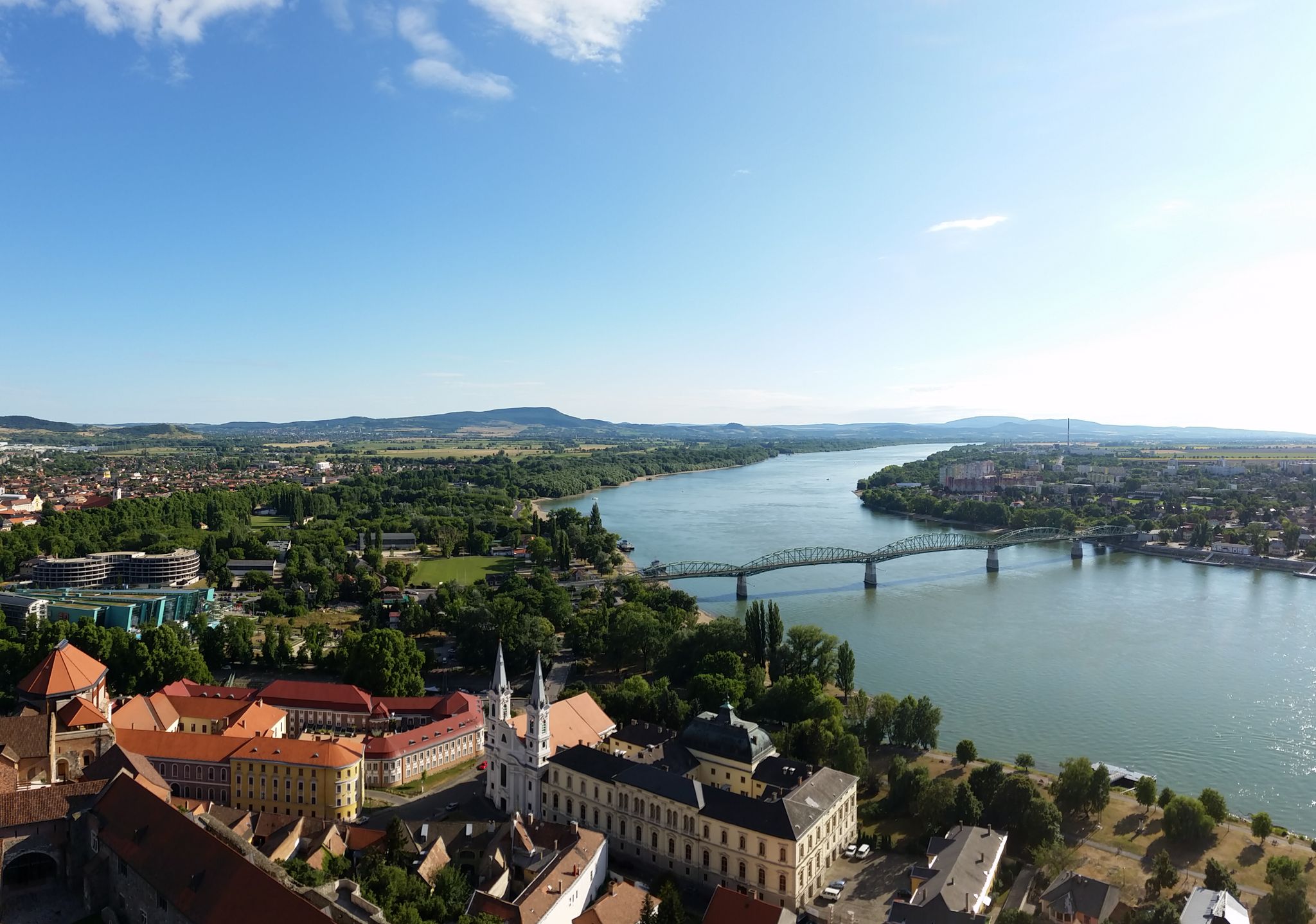
The Danube Cycle Path – From Donaueschingen to Budapest
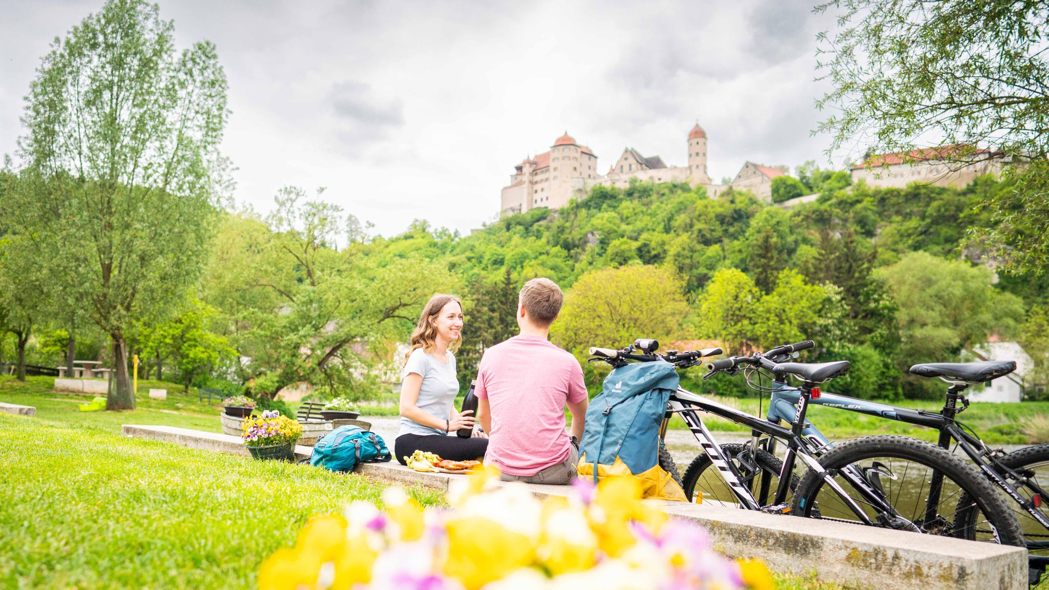
Cycle back in time in the Donau-Ries region
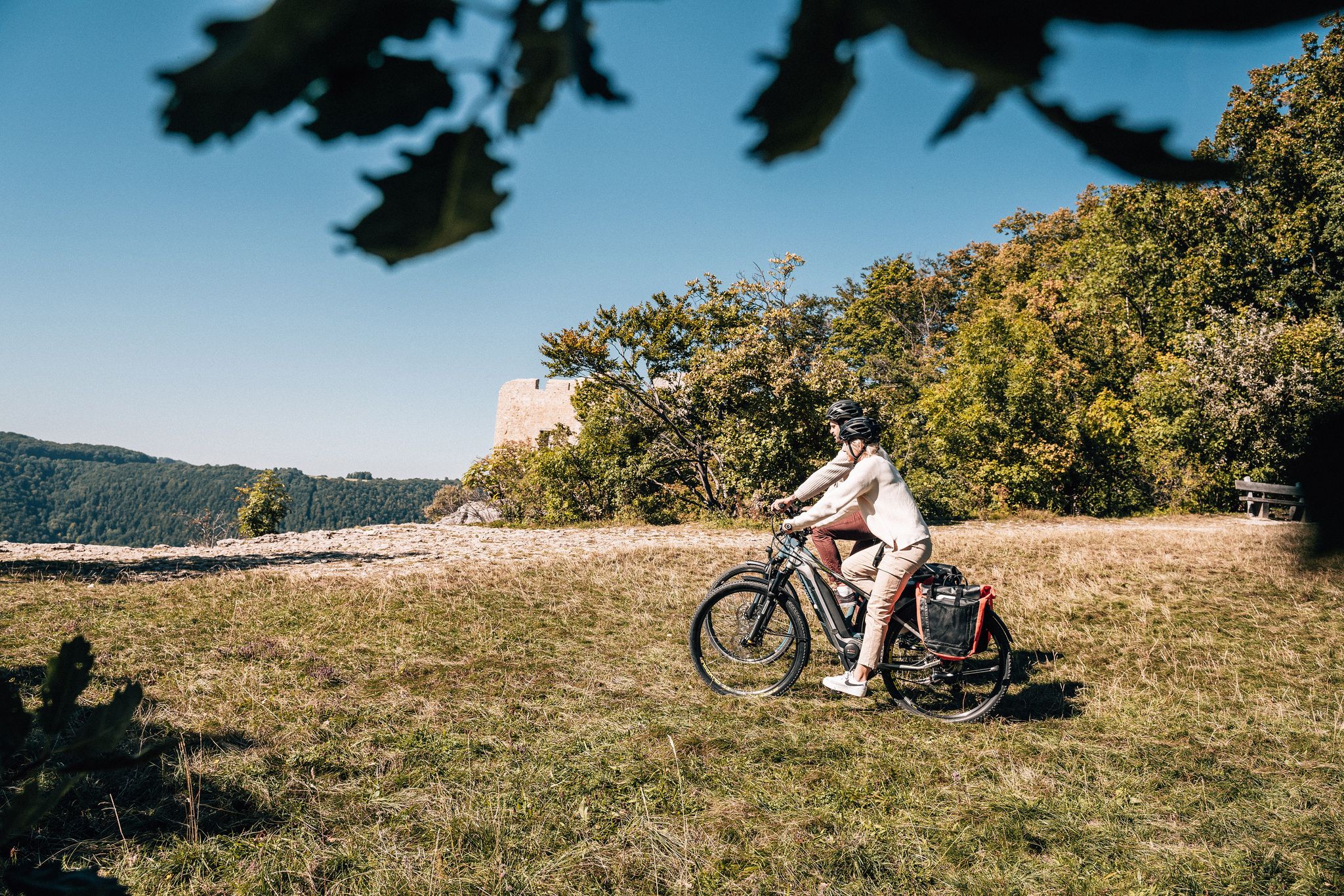
Breathe in the mountain air – long-distance cycle paths in the Swabian Alb
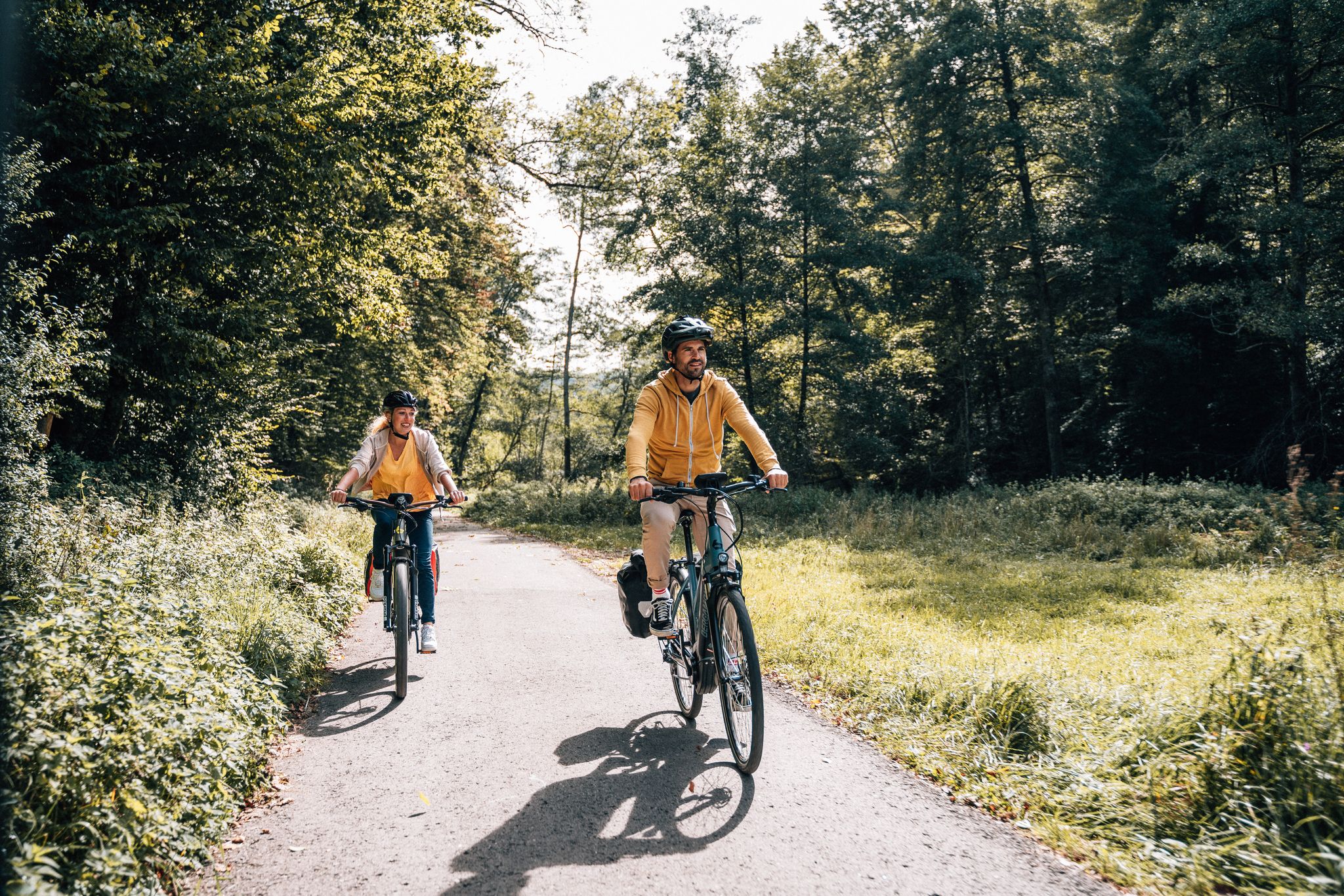
Cycle touring trio in the Swabian Alb
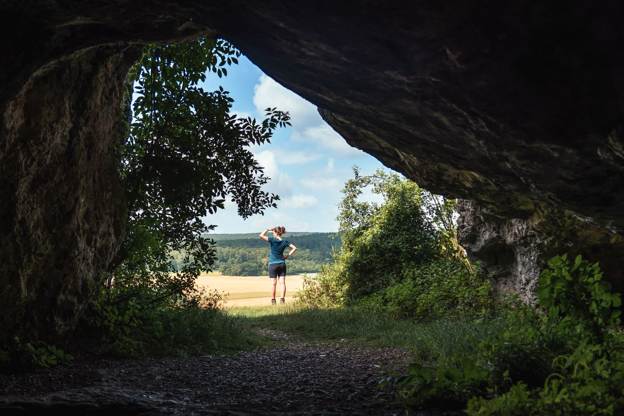
Historic and exciting – hiking in the DONAURIES holiday region
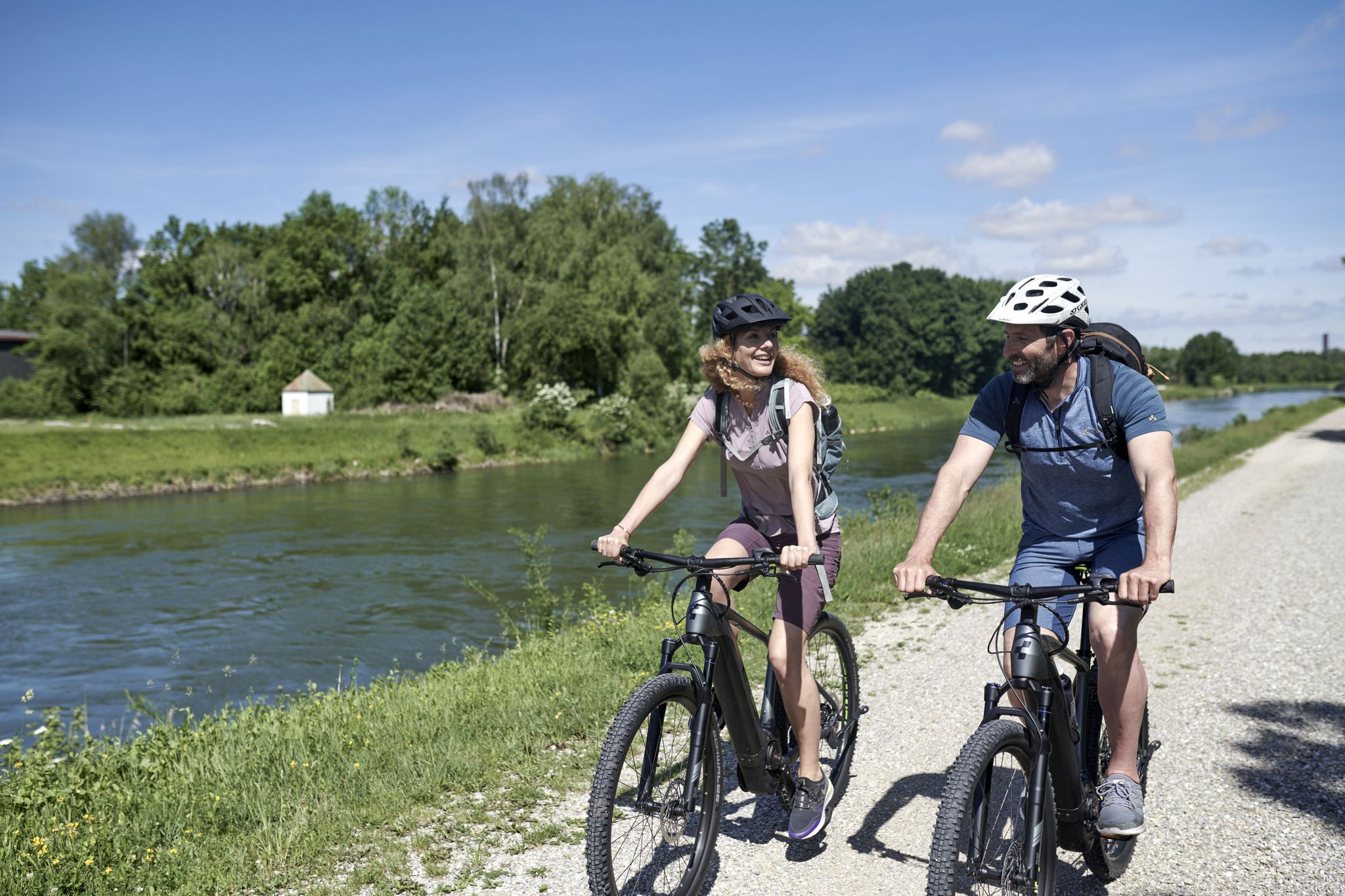
From River to River: Cycling in Bavarian Swabia
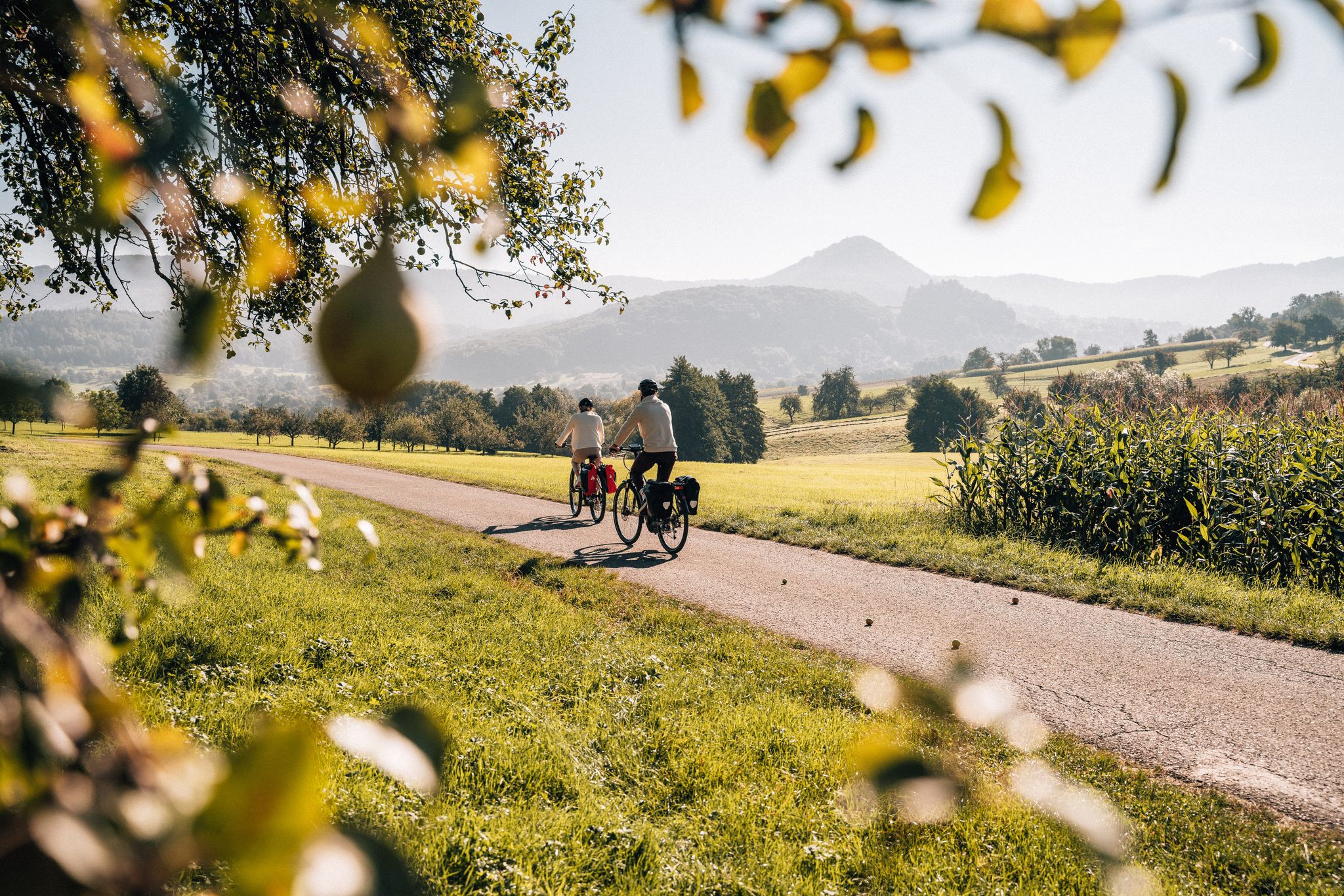
Cycle the Swabian Alb Cycle Path to Lake Constance
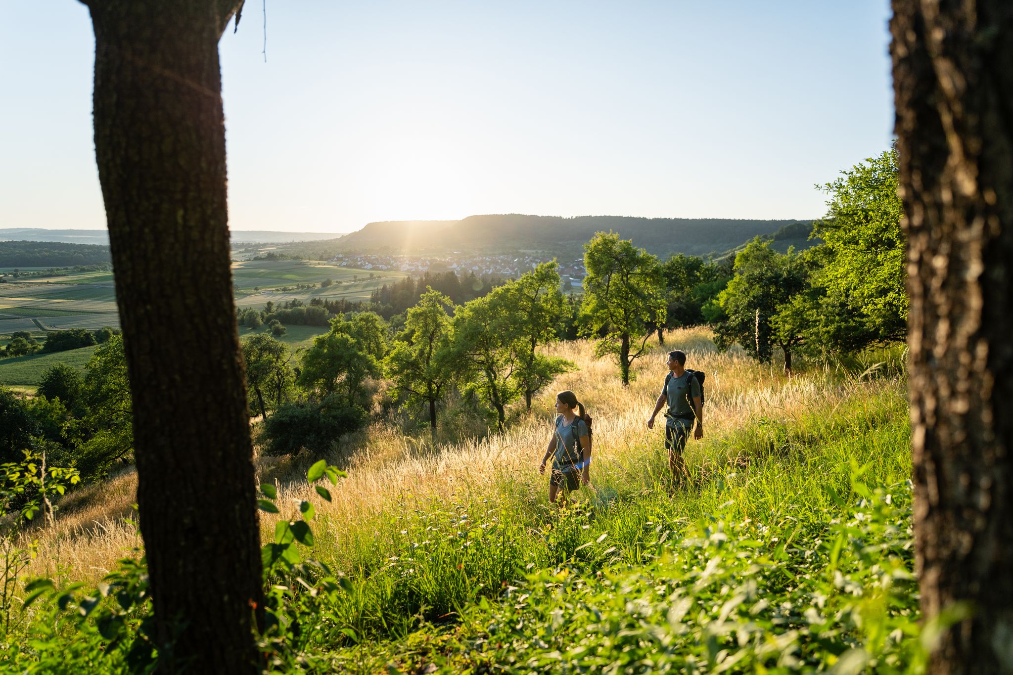
6 Long-Distance Hikes for Your Escape to the Swabian Alb
Other adventures around Donauwörth


Tips from the Community

Donauwörth is a very nice little town, where there is a lot to discover.
3
0
A great and very natural path section along the wild Wörnitz.
4
0

The Mangoldstein is a striking rock on the Kalvarienberg and is reminiscent of the former Wörth castle, which once stood here. It was named after Count Mangold von Wörth, who is closely associated with the early history of Donauwörth.
4
0

The local history museum in Donauwörth is located in one of the oldest parts of the town. It is housed in the red house on Ried Island. The Härpfer family, who have been connected to the town's fishing history since 1434, once lived here. The museum displays religious folk art, crafts, and offers deep insights into the town's cultural history.
1
0

Beautiful view of the confluence of the Wörnitz and Danube rivers 🌊 - Donauwörth - Donau-Ries district
0
0
Information panel about the Via Claudia Augusta - Donauwörth - Donau-Ries district
0
0
Wörnitz Bridge - Wörnitz Footbridge - Wooden bridge with a view of the Holy Cross Monastery ⛪ - Wörnitz 🌊 - Donauwörth - Donau-Ries District
0
0
The Wörnitz is a left and northern tributary of the Danube in Bavaria, approximately 132 km long. The name is recorded as "Werinza" in the 11th century, and as "Warinza" in the 12th century. There are two theories regarding the origin of this name. In 1950, the onomastician Joseph Schnetz traced the name back to the Indo-European root *ver, meaning "to turn" or "to twist," to which the participle ending -entia was added. According to this theory, Wörnitz means "the winding one." Onomastician Wolf-Armin von Reitzenstein, however, the name derives from the Indo-European root *u̯er, meaning "water," from which it was derived by adding a -nt suffix. Albrecht Greule, on the other hand, sees a connection with the Indo-European words *h2u̯er- "to be moist" or *h2u̯erh1- "to wet." *h2u̯er- The river gave its name to several places: Wörnitz, Wörnitzhofen, Wörnitzostheim, and Wörnitzstein. The Wörnitz originates from a spring in Schillingsfürst on the Franconian Heights and flows from there fairly steadily in a southerly to easterly direction. Initially, it flows south through the municipality of Wörnitz through a meadow valley bordered by wooded hills, receiving the Ampfrach and Zwergwörnitz streams from the right along this stretch. At river kilometer 115.62, near the village of Reichenbach in Feuchtwangen, a gauge measures the flow rate. From the medieval town of Dinkelsbühl, a southeasterly section begins, leading to the edge of the Nördlinger Ries crater, where many of its tributaries feed ponds, sometimes in close succession. Now flowing more easterly, it first reaches Wilburgstetten, where the Rotach River flows into it from the west. Initially, it flows more easterly, through Wilburgstetten, where it is joined by the Rotach River, again from the west. ... ..... Source: https://de.wikipedia.org/wiki/W%C3%B6rnitz
0
0
Frequently Asked Questions
How many running routes are available in Donauwörth?
Donauwörth offers a wide variety of running experiences, with over 110 routes available. These range from easy riverside paths to more challenging trails through the surrounding landscape.
What kind of terrain can I expect on jogging routes in Donauwörth?
The terrain in Donauwörth is quite varied. Many routes, especially those along the Danube and Wörnitz rivers, feature mostly paved surfaces, ideal for a smooth run. You'll also find paths through lush fields, forests, and rolling hills, offering a mix of natural trails and scenic backdrops.
Are there any easy running routes suitable for beginners or families?
Yes, Donauwörth has several easy options. For a gentle run, consider the Donauwörth Adult Education Center and Promenade – Mangoldstein loop. This moderate route is primarily on paved surfaces and offers a pleasant experience for various fitness levels.
Where can I find a more challenging running trail in Donauwörth?
For a more demanding run, the Fish ladder in Geopark Ries – Danube Cycle Path loop offers a difficult 17.1 km (10.6 miles) trail. This route follows sections of the famous Danube Cycle Path, providing a good workout with scenic river views.
What do other runners say about the trails in Donauwörth?
The running routes in Donauwörth are highly regarded by the komoot community, boasting an average rating of 4.3 stars from over 50 reviews. Runners often praise the beautiful riverside paths, the blend of natural scenery and historic town views, and the variety of options for different abilities.
Are there any circular running routes in Donauwörth?
Many of Donauwörth's running paths are designed as loops, allowing you to start and finish in the same location. An excellent example is the Wörnitz Riverside Trail – Rieder Gate, Donauwörth loop, which offers a moderate 9.6 km (6.0 miles) circular run along the river and past historical landmarks.
What landmarks or points of interest can I see while jogging in Donauwörth?
Donauwörth's routes often combine natural beauty with historical sights. Along the Wörnitz River, you can see the historic Rieder Gate, the last remaining city gate. The town's main street, Reichsstraße, features colorful buildings. For panoramic views, the Liebfrauenmünster (Minster of Our Lady) tower offers a 360-degree vista of the city and rivers. You might also spot highlights like Leitheim Castle or Graisbach Castle Ruins in the wider region.
Are there any running routes that pass by lakes or water features?
While the primary water features are the Danube and Wörnitz rivers, the region around Donauwörth also features several lakes. You might find routes that pass near Prälatenweiher or the Lech Reservoir, offering different scenic backdrops for your run.
Can I bring my dog on the running trails in Donauwörth?
Many outdoor areas in Donauwörth are dog-friendly, especially the riverside paths and trails through natural landscapes. It's always advisable to keep your dog on a leash, particularly in more populated areas or nature reserves, and to be mindful of local regulations regarding pets.
What is the best time of year for running in Donauwörth?
Donauwörth is enjoyable for running throughout much of the year. Spring and autumn offer pleasant temperatures and beautiful scenery with blooming flowers or colorful foliage. Summer is also popular, especially for early morning or late evening runs along the rivers. Even in winter, many paved paths remain accessible for a refreshing jog.
Are there running routes that explore Donauwörth's Old Town?
Yes, you can combine your run with exploring the historic parts of Donauwörth. The Donauwörth Old Town – Rieder Gate loop is a moderate 11.1 km (6.9 miles) route that takes you through the charming old town and along the Wörnitz River, offering a blend of cultural and natural sights.
Are there any specific permits required for jogging in Donauwörth?
Generally, no special permits are required for jogging on public paths and trails in Donauwörth. You are free to explore the numerous routes available. However, always respect private property and any posted signs in specific areas.
Most popular routes around Donauwörth
Most popular attractions around Donauwörth

Get inspired with the komoot mobile app


Explore more
Browse the best Running Trails & Routes in other regions.
