The best walks and hikes around Lungern
4.5
(820)
6,371
hikers
70
hikes
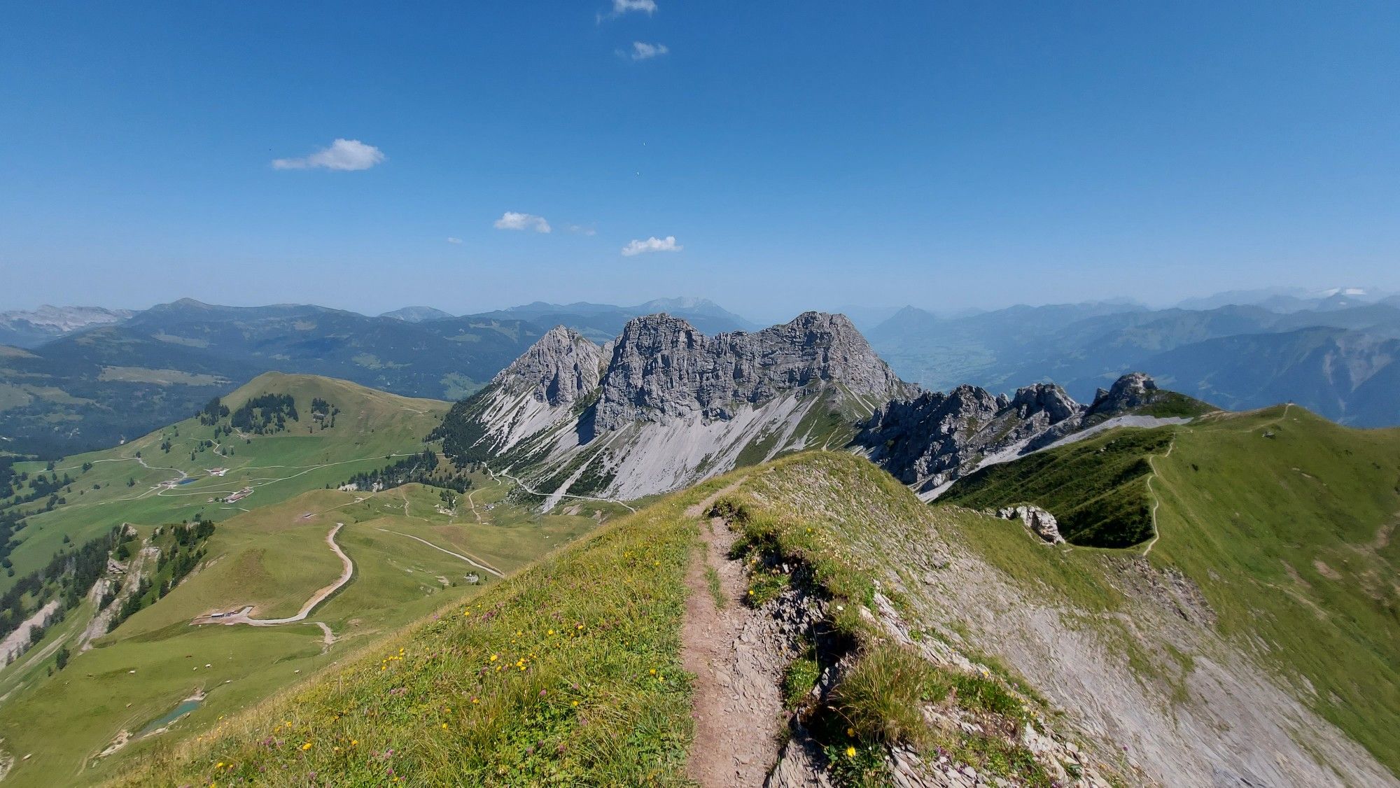
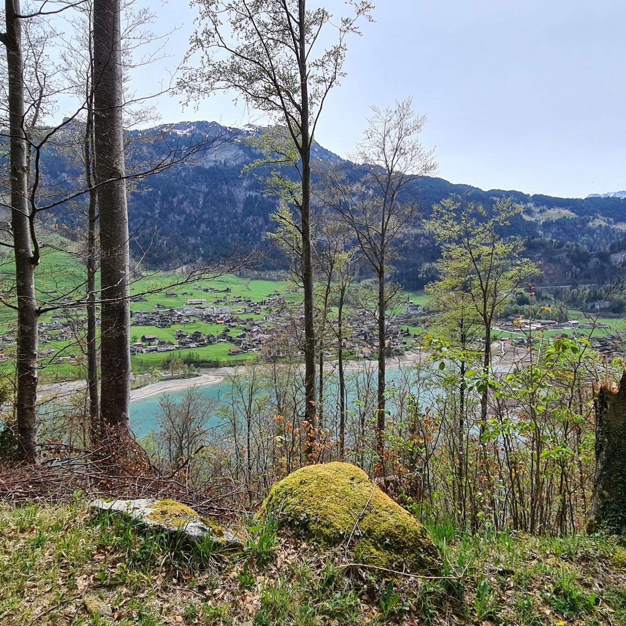
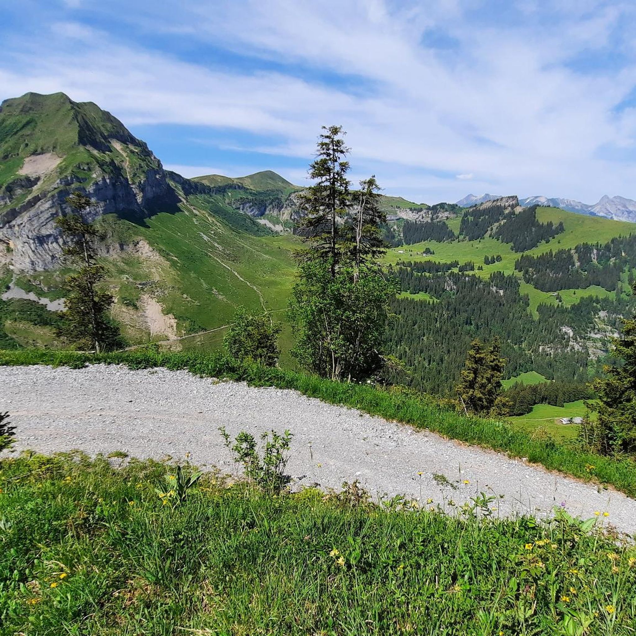
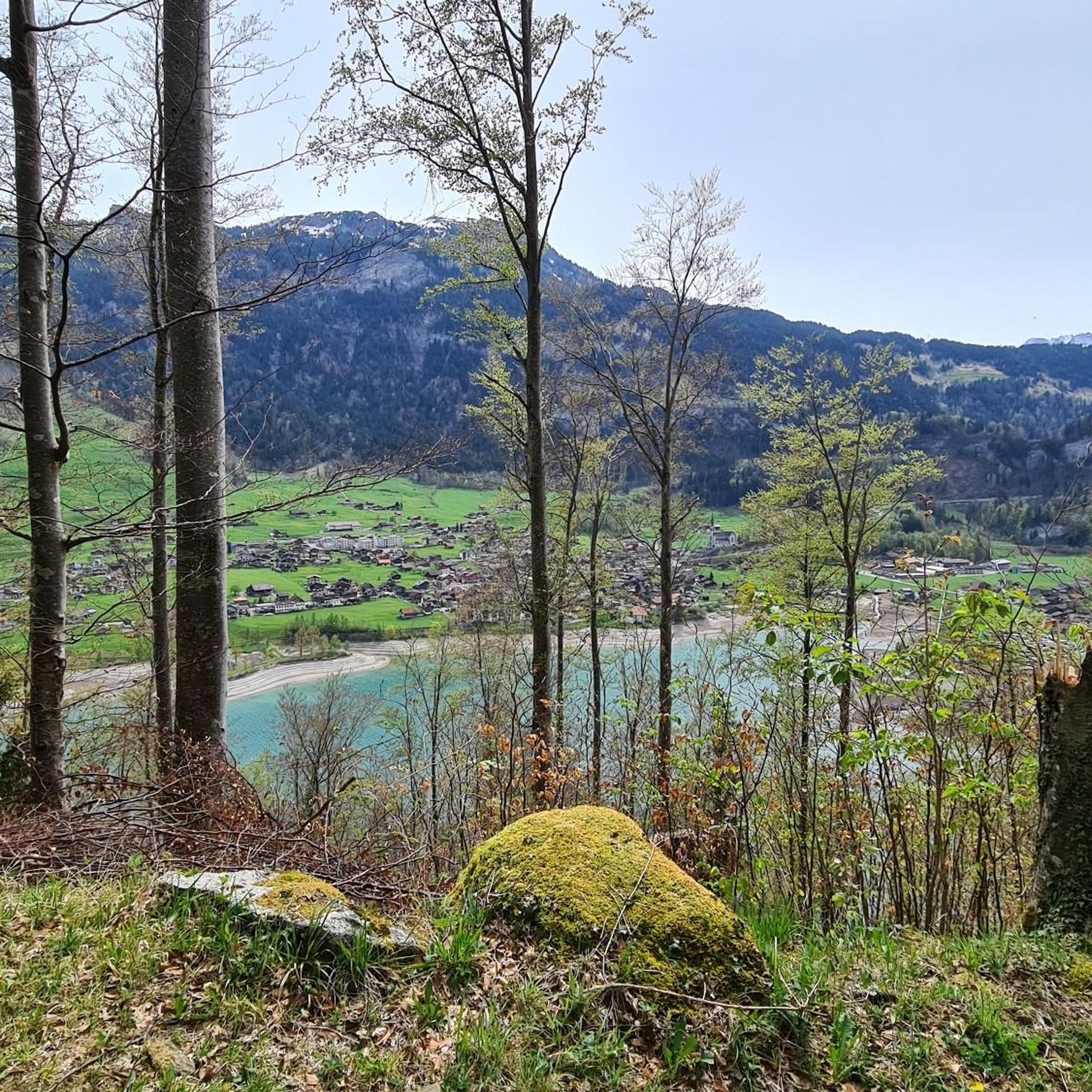
Hiking around Lungern offers access to a diverse landscape characterized by the emerald-green Lake Lungern, surrounded by lush forests and verdant meadows. The region is embraced by mountain peaks such as Hochstollen and Hoch Gumme, providing panoramic vistas of the Swiss Alps. Geological features, including glacial erratic blocks, add to the varied terrain.
Best hiking trails around Lungern
- The most popular hiking route is Lake Lungern – Lake Lungern Loop loop from Kaiserstuhl, a 6.4 miles (10.3 km) trail…
Last updated: September 30, 2026
4.9
(11)
73
hikers
11.5km
04:49
590m
590m
Moderate hike. Good fitness required. Mostly accessible paths. Sure-footedness required.
4.8
(39)
218
hikers
9.18km
03:22
520m
530m
Moderate hike. Good fitness required. Mostly accessible paths. Sure-footedness required.

4.6
(20)
118
hikers
16.2km
06:12
1,040m
1,040m
Hard hike. Very good fitness required. Mostly accessible paths. Sure-footedness required.
4.3
(12)
56
hikers
15.3km
05:00
640m
640m
Hard hike. Very good fitness required. Easily-accessible paths. Suitable for all skill levels.
4.5
(13)
64
hikers
12.3km
03:52
440m
440m
Moderate hike. Good fitness required. Easily-accessible paths. Suitable for all skill levels.
Get access to more routes and recommendations from other explorers.
Already have an account?
Our route recommendations are based on thousands of hikes, rides, and runs completed by other people on komoot.




Tips from the Community

Pretty little open chapel.
0
0

View of Lake Brienz
0
0

Brienzer Rothorn is 2,350 meters high. From the top, there is a fantastic view of Lake Brienz, the Bernese Alps, and numerous distinctive peaks. The journey with the historic Brienz-Rothorn-Bahn is particularly impressive. Hiking trails lead over scenic ridges and alpine landscapes. A worthwhile excursion destination for mountain lovers and nature enthusiasts.
4
0


The Berghaus Schönbüel is the perfect stop with a real postcard backdrop! 🏔️🧀 Whether for a cozy break, homemade specialties, or a cool drink: On the fantastic panoramic terrace, you can enjoy an overwhelming view of Lake Brienz and the surrounding mountains 💙☕ Pro-tip: Plan it perfectly as a stage destination or intermediate stop to recharge your batteries for the onward hike and let your soul dangle with the best view! ☀️🍰
0
0
The Schönbüel is an absolute highlight guarantee for any tour in the region! 🏔️✨ Those who master the ascent will be rewarded at the top with a simply breathtaking panoramic view of the deep blue Lake Brienz and the surrounding mountains 💙🌊 Pro tip: charge your camera battery well and it's best to be at the top on a clear day or in the late afternoon light – the colors of the lake and the scenery are pure postcard magic and a perfect photo stop! 📸🌅
0
0
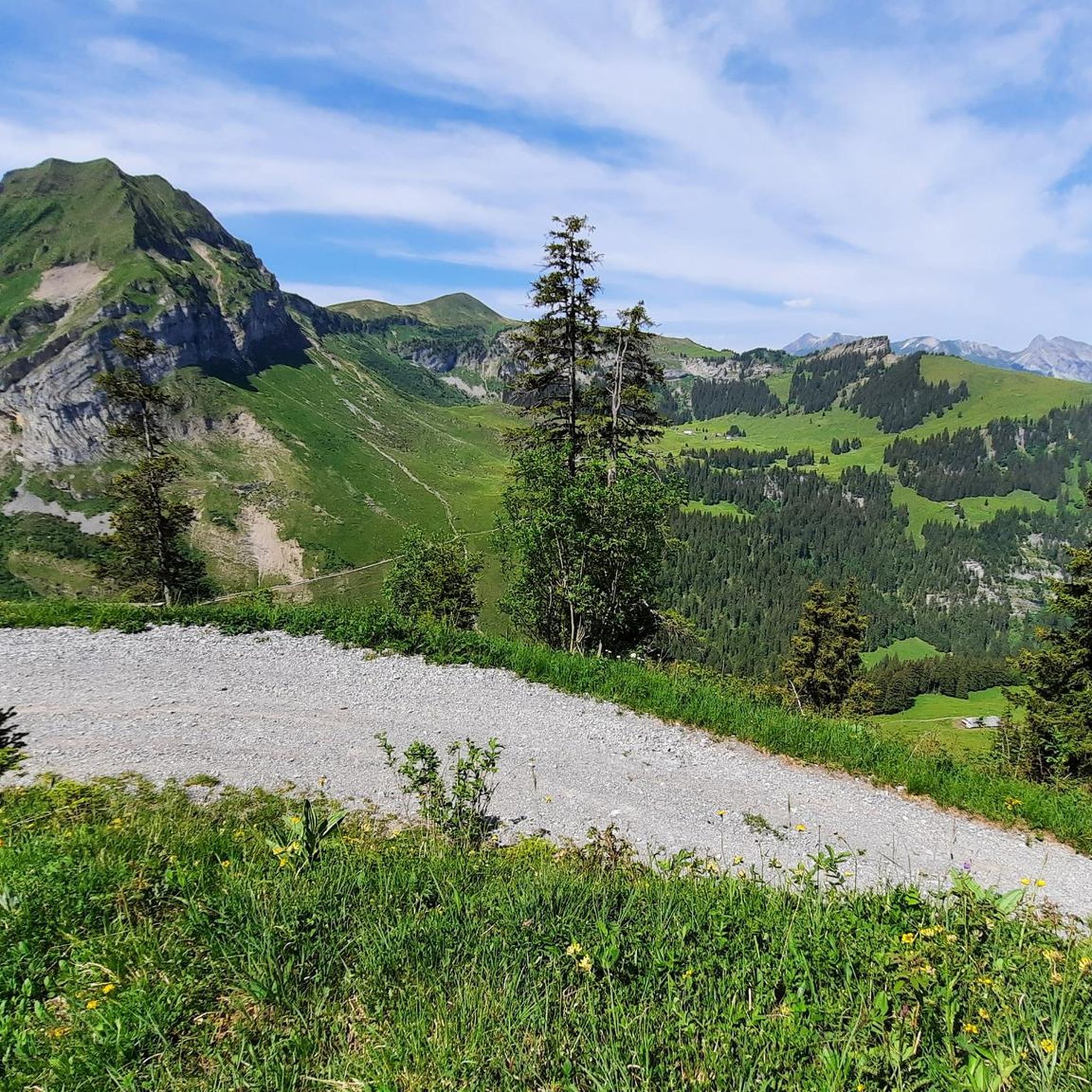
The Turrenbahn mountain station at 1,562 m is the perfect starting point for unforgettable adventures high above the turquoise-blue Lungerersee! 🚠✨ Whether you lace up your hiking boots or pack your MTB: Some of the region's most beautiful tours start from here, such as the panoramic trail up to Schönbüel or the spectacular ridge hike towards Brienzer Rothorn 🥾🚲 For the necessary refreshment, the Turren restaurant right at the station offers a brilliant sun terrace 🧀☕ Pro tip: Definitely take the first cable car in the morning – the light over the lake is magical and you'll have the paths almost to yourself! 📸🌄
1
0

Nicely located, super friendly 2 guys running the place, good food and very friendly.
0
0
Frequently Asked Questions
How many hiking trails are available around Lungern?
Lungern offers a wide variety of hiking trails, with over 70 routes available. These include 20 easy, 28 moderate, and 24 difficult trails, catering to all experience levels.
Are there any family-friendly hiking options in Lungern?
Yes, Lungern has several family-friendly options. The Waldboden Trail is an easy, 3.1-mile walk through forests and meadows, featuring a small waterfall and scenic views. The Lungern Nature Trail is also a great option for learning about local flora and fauna.
Can I find circular hiking routes with lake views in Lungern?
Absolutely. The Lake Lungern – Lake Lungern Loop loop from Kaiserstuhl is a popular moderate 6.4-mile trail that circles the emerald-green Lake Lungern, offering continuous beautiful views of the water and surrounding mountains.
Are there any hikes that feature waterfalls near Lungern?
Yes, the impressive Dundelbach Waterfall is a notable natural feature. You can experience it on the Lake Lungern – Dundelbach Waterfall loop from Kaiserstuhl, a challenging 15.2 km route. The waterfall boasts a 492-foot drop and is particularly spectacular after rain or during snowmelt.
What are some of the best viewpoints accessible by hiking in Lungern?
Lungern offers stunning panoramic viewpoints. The View of Lake Brienz – Brienzer Rothorn Summit loop from Höch Gumme provides expansive views of Lake Brienz and the Swiss Alps. Additionally, the Viewing Point Schoenbuehel offers one of the best panoramic views of Lake Lungern itself.
What kind of wildlife can I expect to see while hiking in Lungern?
The Lungern Nature Trail, a 2.5 km path, provides information about local trees, plants, and wildlife. Hikers often have opportunities to spot various animals such as foxes, deer, owls, eagles, hawks, and rabbits in the region's diverse habitats.
Are there any challenging day hikes in the Lungern area?
For experienced hikers seeking a challenge, the Sädel – Turrenbahn Mountain Station loop from Lungern is a difficult 16.1 km route with over 1000 meters of elevation gain. The Lungern-Turren Panorama Trail also offers a challenging 7.6-mile climb to the summit of Turren.
What do other hikers say about the trails in Lungern?
The hiking routes in Lungern are highly rated by the komoot community, with an average score of 4.6 stars from over 900 reviews. Hikers frequently praise the diverse terrain, from serene lakeside paths to challenging mountain ascents, and the stunning panoramic views of the Swiss Alps.
Can I access higher-altitude hikes easily in Lungern?
Yes, the Lungern-Turren Cable Car provides convenient access to the Turren mountain area, serving as an excellent starting point for many higher-altitude hikes. From there, you can embark on trails like the Turrenbahn Mountain Station – View of Lake Brienz loop from Turren.
Are there any significant natural landmarks or geological features to observe while hiking?
Beyond the stunning lake and mountain peaks, Lungern's geological history is evident through glacial erratic blocks and fascinating stone formations shaped by the Ice Age. These unique features provide an interesting backdrop to many of the trails.
What are some notable attractions near Lungern that I can visit?
The region boasts several attractions. You can visit the impressive Brienzer Rothorn Summit for panoramic views, explore the dramatic Aare Gorge, or marvel at the beautiful Giessbach Falls.
Is public transport available to reach hiking trailheads in Lungern?
Lungern is well-connected, and public transport options are generally available to reach various starting points for hikes. The village itself is accessible, and local services can often take you closer to specific trailheads, reducing the need for private vehicles.
Most popular routes around Lungern
Most popular attractions around Lungern

Get inspired with the komoot mobile app


Explore more
Browse the best Hikes in other regions.
