The best running trails around Geislingen an der Steige
4.5
(90)
887
runners
78
runs
Jogging routes around Geislingen an der Steige are set within a diverse natural landscape, often referred to as the "Five-Valley City." The region is characterized by its location within the Eybtal nature reserve and the foothills of the Swabian Alb, offering varied terrain. Runners can expect paths alongside rivers, through dense forests, and across rolling hills, providing a range of experiences. This topography includes both gentle valley routes and more challenging ascents with rewarding views.
Best jogging routes around Geislingen…
Last updated: October 7, 2026
4.6
(8)
67
runners
Hard run. Good fitness required. Sure-footedness, sturdy shoes and alpine experience required.
4.3
(8)
45
runners
Moderate run. Good fitness required. Mostly paved surfaces. Suitable for all skill levels.

38
runners
20.7km
02:09
90m
90m
Hard run. Very good fitness required. Mostly paved surfaces. Suitable for all skill levels.
5.0
(4)
29
runners
16.2km
01:44
190m
190m
Hard run. Very good fitness required. Mostly paved surfaces. Suitable for all skill levels.
3.5
(4)
32
runners
Moderate run. Good fitness required. Mostly paved surfaces. Suitable for all skill levels.
Get access to more routes and recommendations from other explorers.
Already have an account?
Our route recommendations are based on thousands of hikes, rides, and runs completed by other people on komoot.
Start today with a free account
Your next adventure awaits.
Popular around Geislingen an der Steige
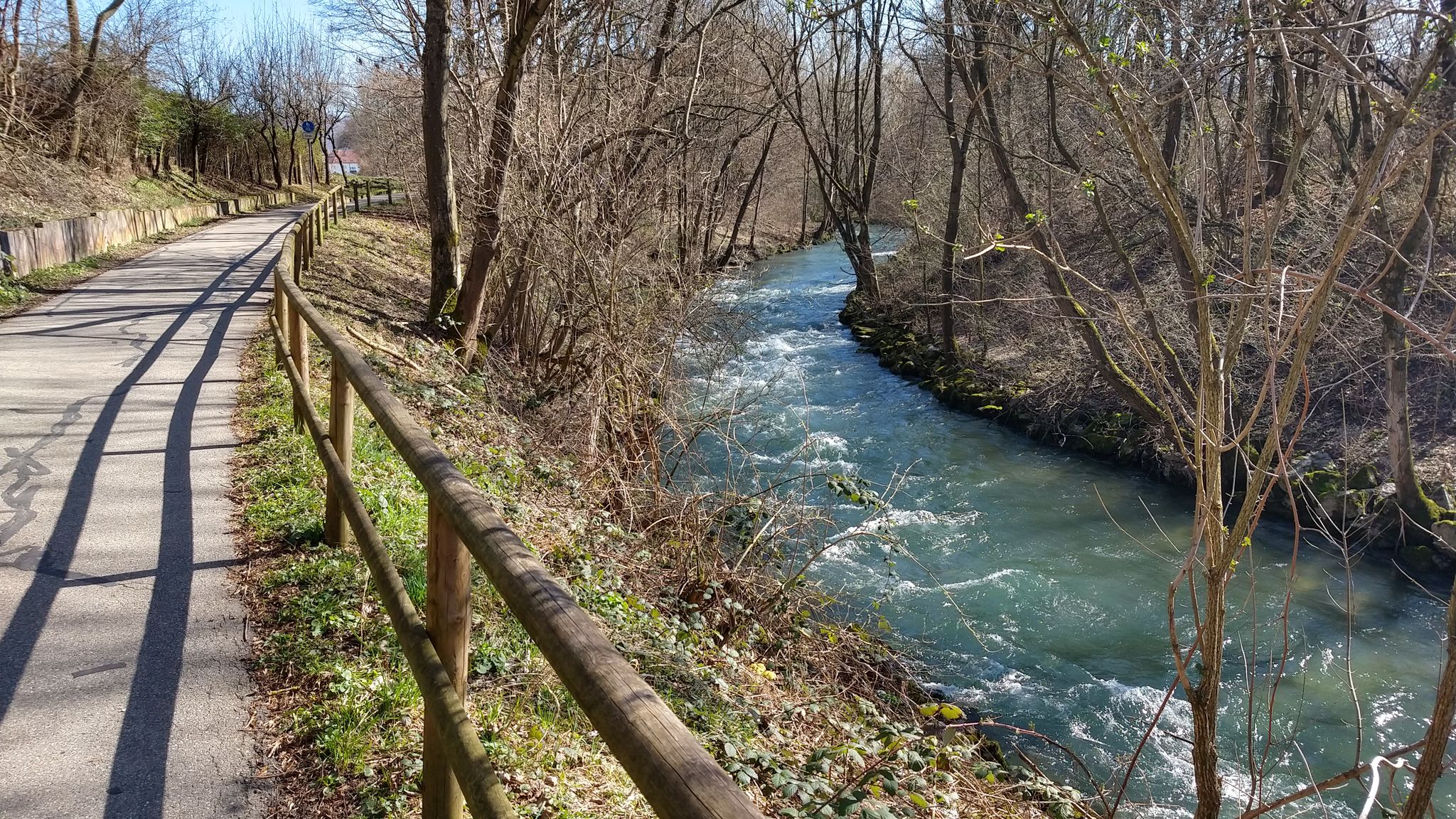
Germany's Filstal route – River cycling at its best
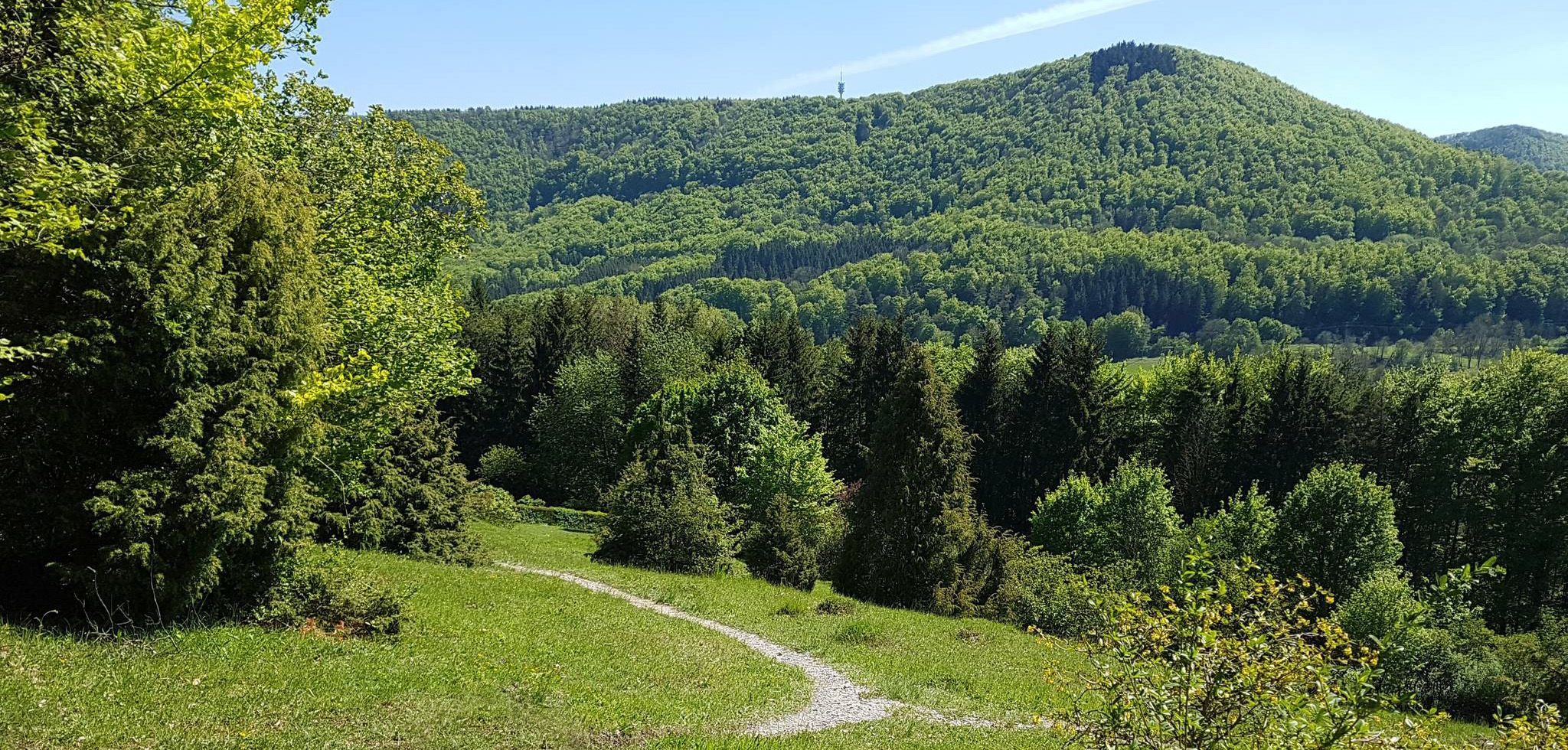
Spätzle Cross — 7 days on the Swabian Alb
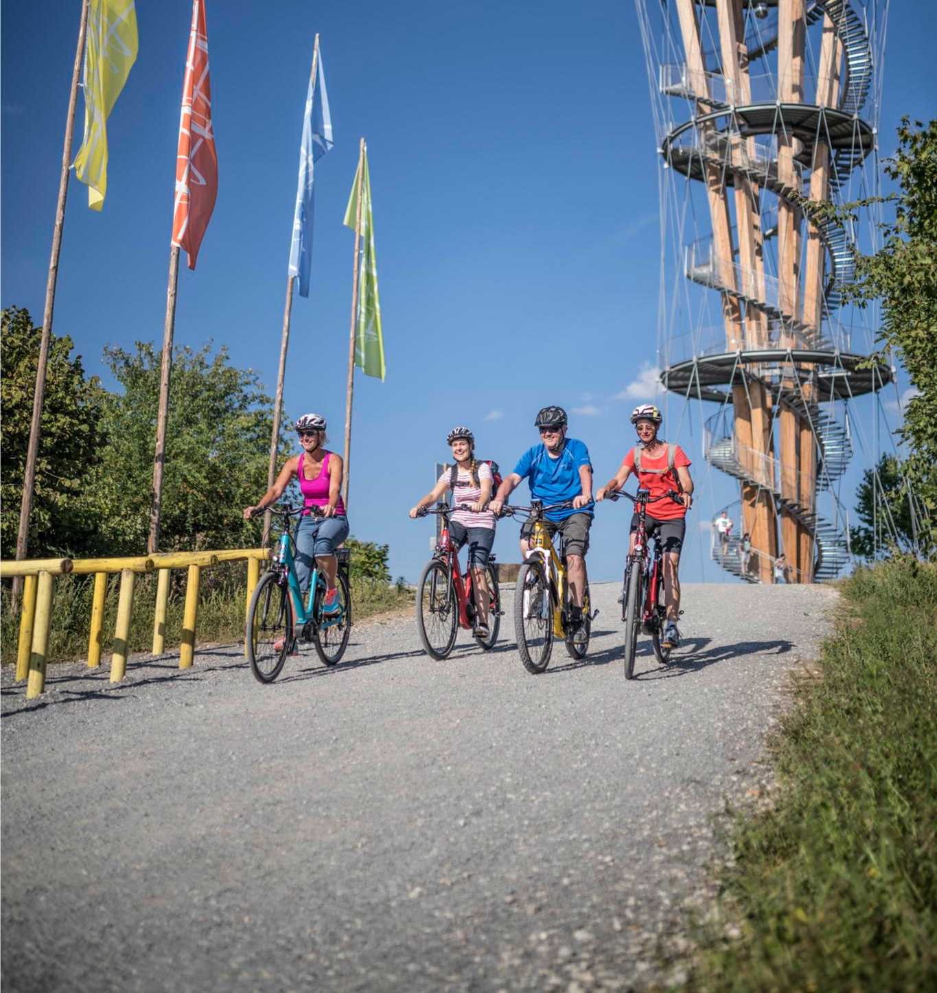
Discover Stuttgart's surroundings – main route of the Stuttgart E-Bike region
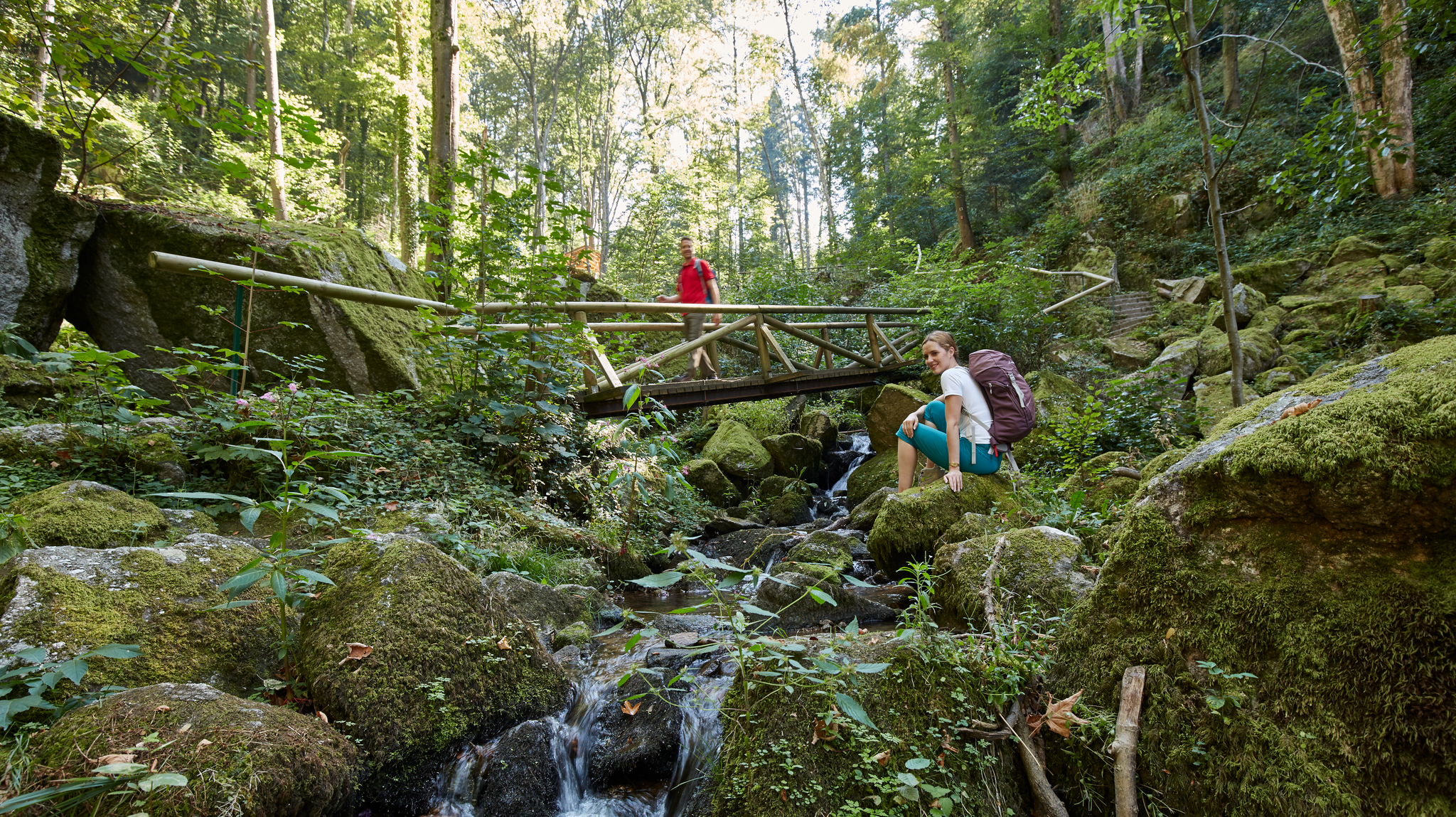
Waterfalls, gorges and cliffs – cooling off in Baden-Württemberg
Up, down, Albwards! MTB adventures on the Schwäbische Alb
MTB flow in BW! Trails from the Schwarzwald to the Odenwald
Experience nature by bike in the Swabian Jura
Hike Germany’s Swabian Alb – by bus and train
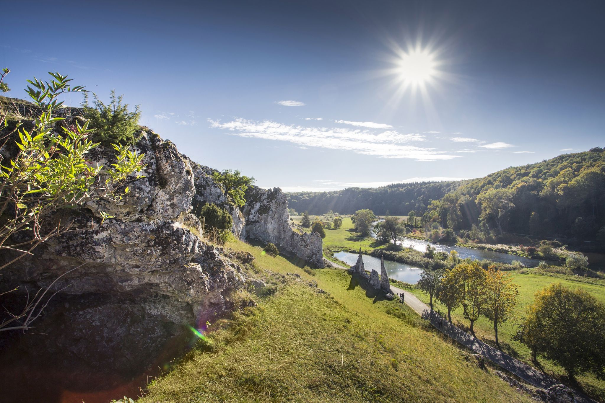
Albtäler Cycle Tour — discover the beautiful valleys of the Swabian Jura
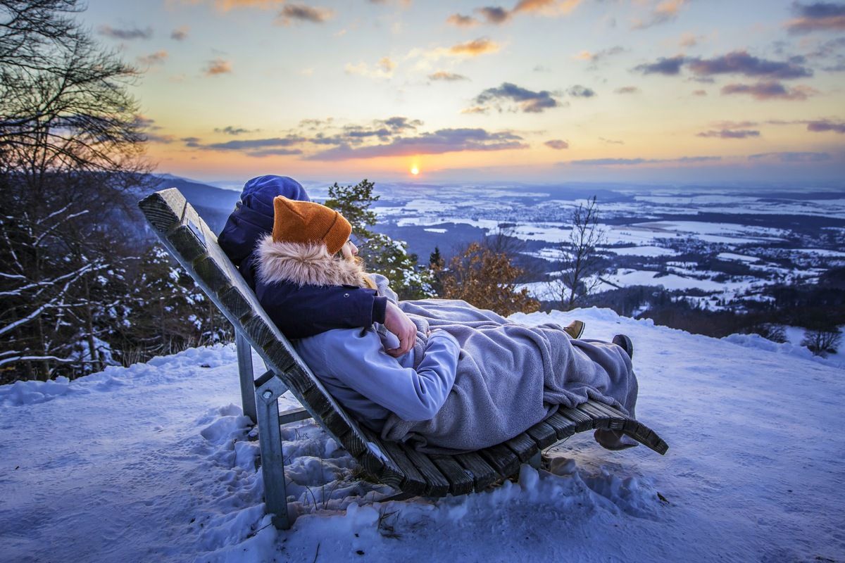
Winter wonderland — hiking in Germany’s Baden-Württemberg
Other adventures around Geislingen an der Steige


Tips from the Community

The parking lot on Felsentalstraße in Geislingen/Steige-Eybach is located directly at the entrance to the Felsental valley and offers a particularly natural access to one of the most impressive landscape areas in the Filstal. Here begins the wild and romantic Felsental with narrow paths and shady forest sections. The parking lot can be used free of charge and, due to its location, is particularly popular with hikers, nature photographers, and those seeking recreation. It is also well-suited as a starting point for longer tours towards the Alb plateau or to the surrounding viewpoints. Despite its proximity to the road, the entrance to the valley feels quiet and pristine.
1
0
Seating steps right by the water, a small pebble beach, a water playground, and a pétanque court: In the north of Gingen, where the banks of the Fils River are accessible on both sides, areas for play and relaxation have been created. The name "Vis-à-vis" (meaning "vis-à-vis") comes from the opposing steps. A new pedestrian bridge connects the two banks, creating a cohesive open space, and the Fils no longer divides the town. Residents in the west and employees in the industrial park in the east can now enjoy both sides of the Fils without having to take long detours. The newly created riverbank area is located directly on the Fils Valley Cycle Path, allowing cyclists to rest and observe nature. The green spaces in the redesigned riverbank area have been transformed from species-poor to diverse and ecologically valuable areas through new plantings. Whether just a quick stop or a longer break, the area is perfect for both.
1
0

For centuries, the Mühlbach, also known as the „Mühlbrunnen“, was an indispensable source of drinking water for the people in Eybach and the surrounding Alb villages. Today, the Mühlbach spring invites hikers and excursionists to pause. Source: https://www.schwaebischealb.de/attraktionen/muehlbachquelle#/article/967f9bf7-56d6-44fe-aaf6-9ecc5d48b3af
1
0
From 1291, the village of Eybach, including Hoheneybach Castle, was owned by the Ellwangen Monastery. Until the middle of the 15th century, several noble families were vassals of the manor, including the Ahlfingen, the Randegg, and the Knights of Zillenhard. In 1456, the village and the lordship were sold to the Counts of Degenfeld, who were enfeoffed with it by the Ellwangen Monastery in 1457.[4] Between 1540 and 1546, Martin von Degenfeld built a Renaissance castle, the predecessor of the present castle,[1] which served as the family's main residence after the destruction of Hoheneybach Castle in the Thirty Years' War.[5] The main building of today's palace was built between 1766 and 1772 under Count August Christoph von Degenfeld, designed by the Württemberg State Building Inspector Johann Adam Groß. The east wing was added between 1772 and 1775. Source: Wikipedia It is still the seat of the Schonburg Revenue Office of Count Degenfeld.
1
0

definitely take a break
0
0

Beautiful castle in Eybach built around 1540
1
0

Starting point for the rock tour
0
1
Nice village in the Filstal
2
0
Frequently Asked Questions
How many running routes are available in Geislingen an der Steige?
There are over 80 running routes around Geislingen an der Steige, offering a wide range of options for different preferences and fitness levels. The komoot community has explored these trails over 900 times, providing valuable insights and ratings.
What are the difficulty levels of the running trails around Geislingen an der Steige?
The running trails in Geislingen an der Steige cater to various fitness levels. You'll find 8 easy routes perfect for beginners, 46 moderate routes for a good workout, and 30 difficult trails for those seeking a challenge. This variety is due to the region's diverse topography, from gentle valley paths to more demanding ascents in the Swabian Alb foothills.
What kind of terrain can I expect on the running trails in Geislingen an der Steige?
Runners in Geislingen an der Steige can expect a diverse range of terrain. The region, known as the "Five-Valley City," features paths alongside rivers, through dense forests, and across the rolling hills of the Swabian Alb. You'll encounter both gentle valley routes and more challenging uphill climbs with rewarding views.
Are there any running routes with waterfalls in Geislingen an der Steige?
Yes, you can incorporate a natural water feature into your run. The Autal Waterfall offers a pleasant natural element, providing the relaxing sound of rushing water as you pass by. While not a large cascade, it's a tranquil spot to enjoy during your run.
Can I find family-friendly jogging routes in the area?
While specific 'family-friendly' designations aren't always explicit, many of the 8 easy and some of the 46 moderate routes in the valleys or through less steep forest areas would be suitable for families. These typically offer gentler gradients and pleasant surroundings. Always check the route details for elevation and distance to ensure it matches your family's capabilities.
Are there dog-friendly running trails in Geislingen an der Steige?
Most natural trails and forest paths in the Geislingen an der Steige region are dog-friendly, provided your dog is kept on a leash, especially within nature reserves like the Eybtal. Always be mindful of wildlife and other trail users. It's advisable to check local regulations for specific areas you plan to visit.
Which running routes offer scenic viewpoints in Geislingen an der Steige?
Many routes in Geislingen an der Steige offer stunning panoramic views. For example, the route to Helfenstein Castle Ruins – Ostland Cross Geislingen loop provides breathtaking vistas from historical landmarks. Other notable viewpoints in the region include the Haarberg summit cross and various spots on the Tegelberg, offering views over the city and the Filstal valley.
Are there any historical landmarks I can see while running?
Absolutely. The Helfenstein Castle Ruins are a prominent historical landmark perched high above Geislingen. A run to and around the castle offers both physical activity and a glimpse into the region's past, along with panoramic views over the Filstal. The Helfenstein Castle Ruins – Ostland Cross Geislingen loop is an excellent option for this.
Are there options for longer distance running in Geislingen an der Steige?
Yes, Geislingen an der Steige offers several routes suitable for longer distance running. For instance, the Gingen an der Fils town center loop from Geislingen West is a 12.8-mile (20.7 km) trail through the Filstal valley. Another challenging option is the Eybach Trailhead – Pond in Längental loop, which covers 16.2 km.
Are there any easy jogging routes for beginners?
Yes, beginners can find suitable routes. There are 8 easy routes available in Geislingen an der Steige. These routes typically follow gentler paths through valleys or less steep forest sections, providing a comfortable introduction to running in the region. Look for routes with minimal elevation gain for a more relaxed experience.
What do other runners enjoy most about jogging in Geislingen an der Steige?
The running routes in Geislingen an der Steige are highly rated by the komoot community, with an average score of 4.7 stars from over 70 reviews. Runners frequently praise the diverse natural landscape, the variety of terrain from valley paths to challenging climbs, and the scenic beauty of the "Five-Valley City" and the Swabian Alb foothills. The well-maintained trails and the opportunity to combine exercise with historical sights like Helfenstein Castle are also often highlighted.
Are there circular running routes available in Geislingen an der Steige?
Yes, many of the running routes in Geislingen an der Steige are designed as circular loops, allowing you to start and finish at the same point. Examples include the Path Above the Eyb River – Eybach Forest Chapel loop and the Eybach Oil Mill – Mühlbach Spring, Eybach loop. These loops are convenient for exploring the diverse landscapes without needing to retrace your steps.
Most popular routes around Geislingen an der Steige
Most popular attractions around Geislingen an der Steige

Get inspired with the komoot mobile app


Explore more
Browse the best Running Trails & Routes in other regions.
