The best mountain hikes around Wendlingen am Neckar
5.0
(1)
20
hikers
3
hikes
Mountaineering around Wendlingen am Neckar offers routes through the gentle hills of the Swabian Alb foothills, characterized by significant elevation gains and varied terrain. The region features dense woodlands, open landscapes, and prominent viewpoints, providing experiences akin to lower-level mountaineering. The Neckar River also defines the local geography, though mountaineering routes typically explore the higher ground. These paths often require good fitness and sure-footedness, traversing a mix of forest trails and open ridges.
Best mountaineering routes around Wendlingen am Neckar
…Last updated: October 5, 2026
2
hikers
17.2km
05:37
700m
700m
Hard mountaineering route. Very good fitness required. Mostly accessible paths. Sure-footedness required.
5.0
(1)
6
hikers
2.64km
00:52
130m
130m
Easy mountaineering route. Great for any fitness level. Easily-accessible paths. Suitable for all skill levels.

5
hikers
12.5km
04:06
570m
570m
Moderate mountaineering route. Good fitness required. Easily-accessible paths. Suitable for all skill levels.
1
hikers
9.53km
03:07
400m
400m
Moderate mountaineering route. Good fitness required. Easily-accessible paths. Suitable for all skill levels.
2
hikers
6.58km
02:18
360m
360m
Moderate mountaineering route. Good fitness required. Easily-accessible paths. Suitable for all skill levels.
Our route recommendations are based on thousands of hikes, rides, and runs completed by other people on komoot.
Start today with a free account
Your next adventure awaits.
Popular around Wendlingen am Neckar
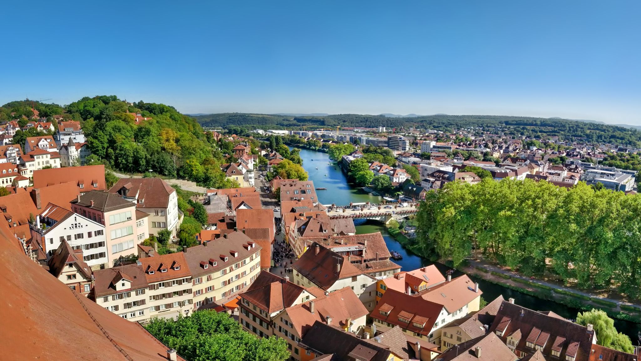
The Neckar Valley Cycle Path – ride in Germany’s Swabian heartland
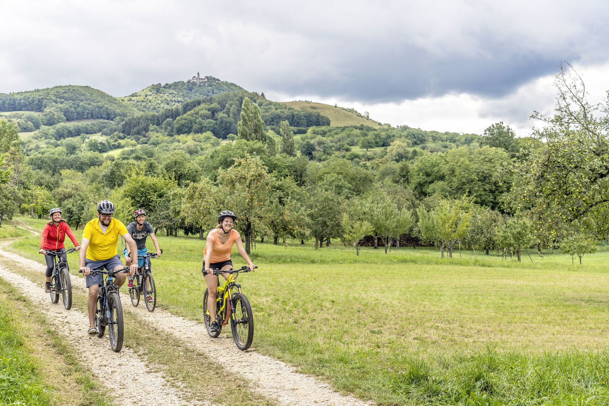
Explore the stunning Swabian Alb — cycling in the Esslingen district
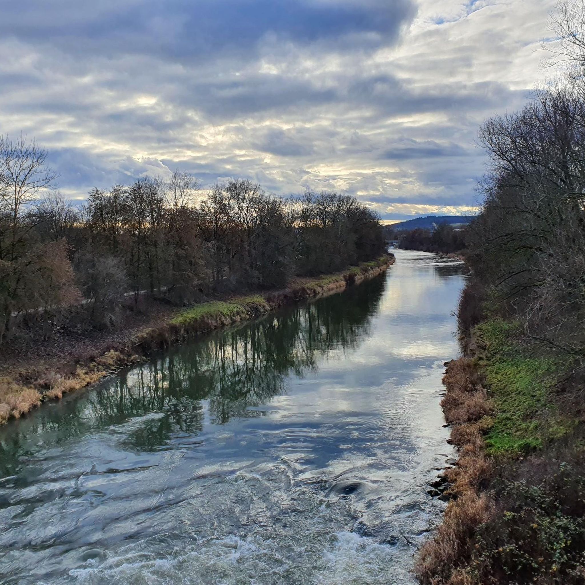
Cycling around Wendlingen am Neckar
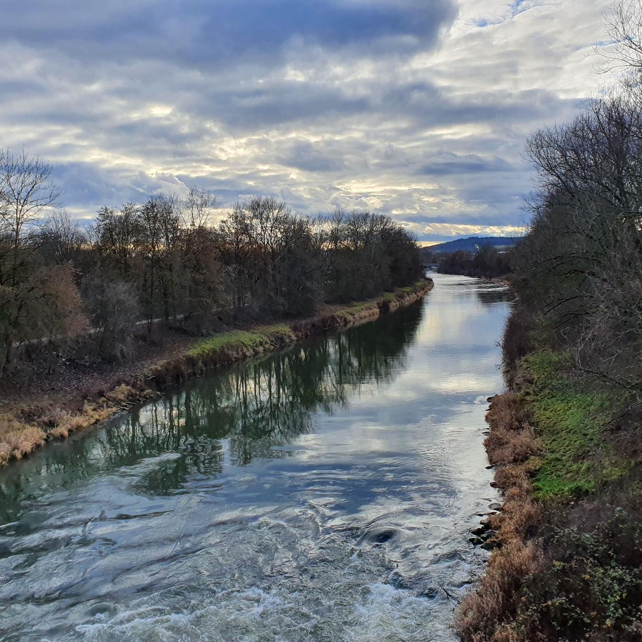
Road Cycling Routes around Wendlingen am Neckar
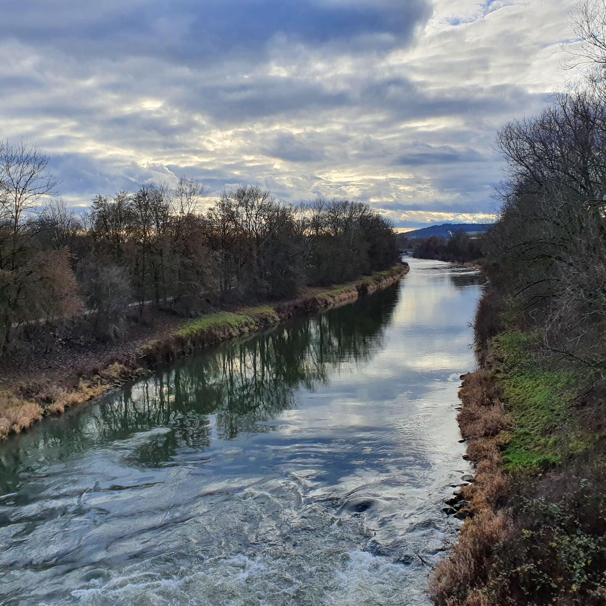
MTB Trails around Wendlingen am Neckar
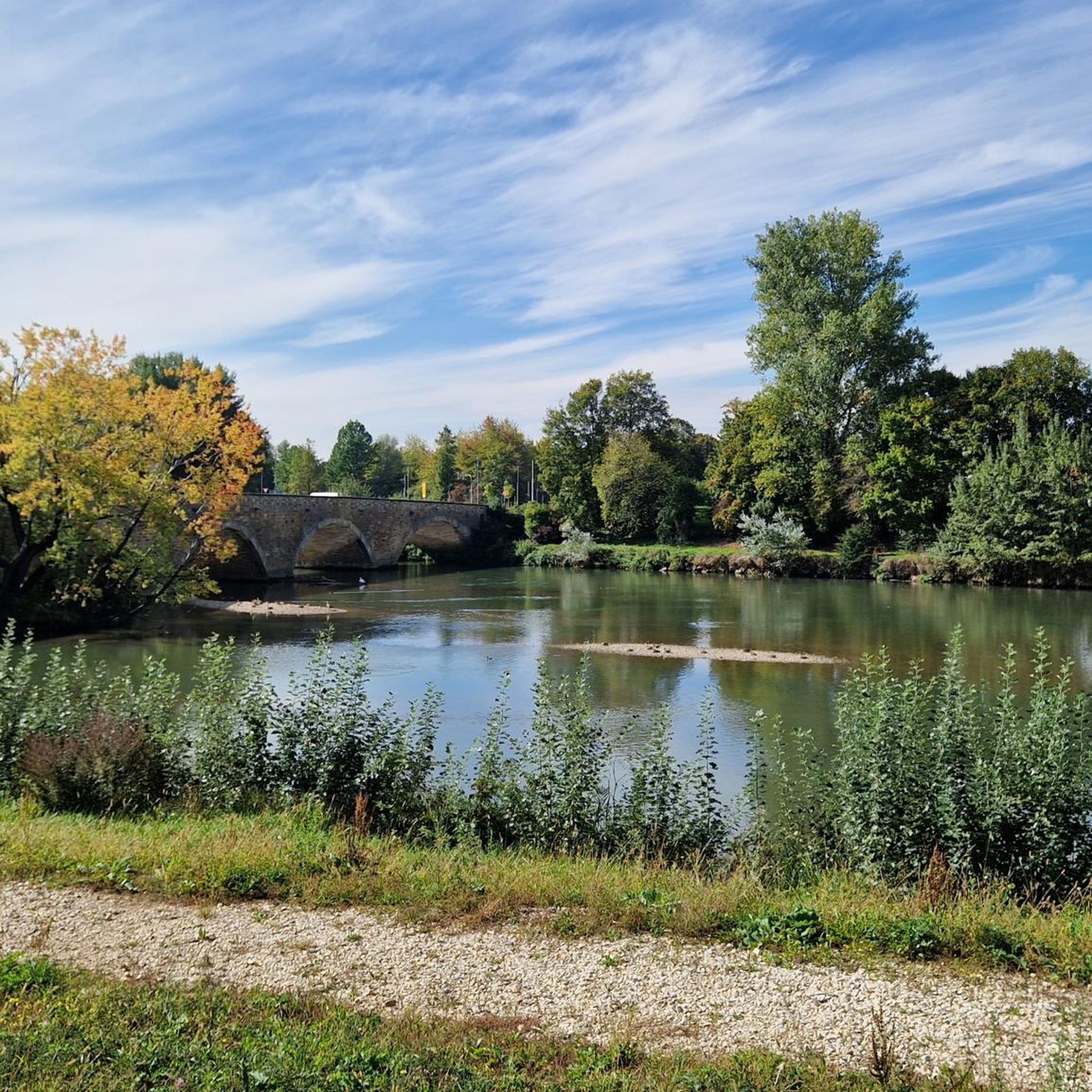
Running Trails around Wendlingen am Neckar
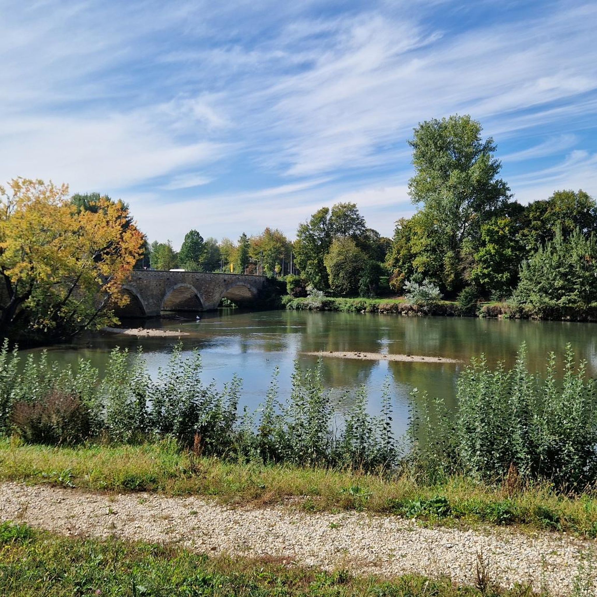
Hiking around Wendlingen am Neckar
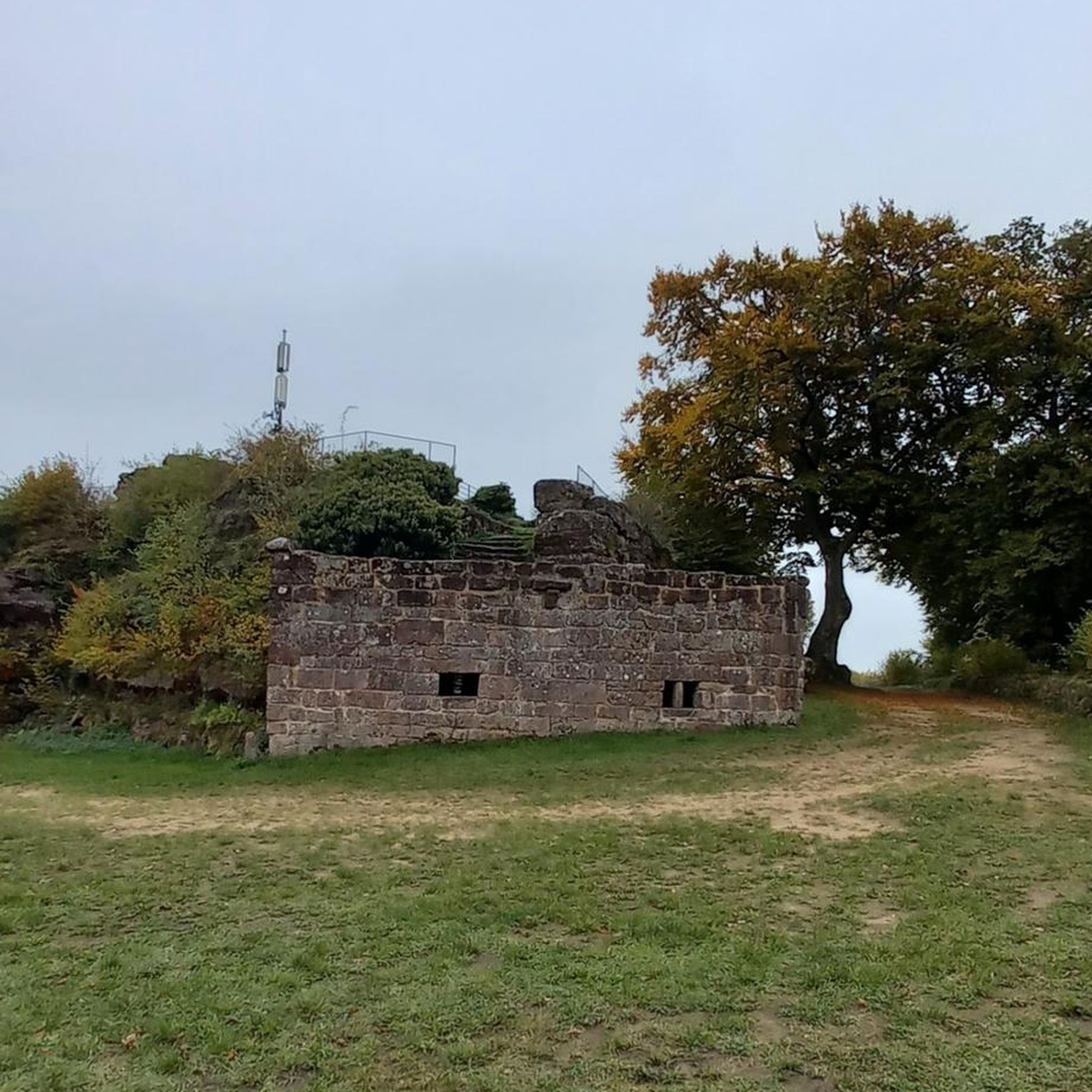
Gravel biking around Wendlingen am Neckar


Tips from the Community

Beautiful cycle path with great views of Breitenstein and, opposite, Teck Castle.
0
0

Great view from the very well restored Rauber ruins
1
0
Viewpoint on Bissingen and a barbecue area can be found here
1
0

From almost everywhere you can see the Teck and the mighty Teck Mountain.
1
0


Simply brilliant view :-)
0
0

Greatly located and restored castle ruins with a great view, a very popular tour destination on the mountain ridge in summer and correspondingly well attended.
0
0

Great view into the distance
5
0
Frequently Asked Questions
What kind of terrain can I expect on mountaineering routes around Wendlingen am Neckar?
The routes traverse the gentle hills of the Swabian Alb foothills, featuring significant elevation gains and varied terrain. You'll encounter a mix of dense woodlands, open landscapes, and prominent viewpoints, offering experiences akin to lower-level mountaineering. These paths often require good fitness and sure-footedness.
Are there any easy mountaineering routes suitable for beginners or a quick outing?
Yes, there are options for less strenuous outings. For instance, the Teckberg loop from Owen is an easy 2.8 km path that explores the lower slopes of the Teckberg, providing a scenic option through the foothills in about 55 minutes.
What are some notable viewpoints or landmarks I can see along the routes?
Many routes offer stunning views and pass by significant landmarks. You can enjoy expansive vistas from the Beurener Fels Viewpoint or the Gelber Fels Viewpoint. Historic sites like Teck Castle and Hohenneuffen Castle are also prominent features on some tours.
Are there any circular mountaineering routes available?
Yes, many of the mountaineering routes in the region are designed as loops. For example, the challenging Beurener Fels Viewpoint – Hohenneuffen Castle loop from Beuren is an 17.9 km circular trail offering expansive views and historical sights.
Are there any routes that pass by waterfalls or lakes?
Yes, the region features natural water attractions. You can find the Stepped Waterfall on the Föllbach nearby. Additionally, several lakes like Bürgerseen and Eichensee are accessible in the broader area, offering pleasant spots for relaxation.
What is the best time of year for mountaineering in this region?
The Swabian Alb foothills are generally enjoyable for mountaineering from spring through autumn. Spring brings blooming landscapes, while autumn offers vibrant foliage. Summer is also suitable, though it's always wise to check weather forecasts for comfortable conditions.
How challenging are the more difficult routes around Wendlingen am Neckar?
The most challenging routes, such as the Beurener Fels Viewpoint – Hohenneuffen Castle loop from Beuren, involve significant elevation gains (over 700 meters) and cover distances up to 17.9 km, requiring good fitness and sure-footedness. These can take nearly 6 hours to complete.
What do other mountaineers say about the routes in Wendlingen am Neckar?
The routes in Wendlingen am Neckar are highly rated by the komoot community, with an average score of 5.0 stars. Mountaineers often praise the varied terrain, the prominent viewpoints, and the well-maintained paths that offer a rewarding experience in the Swabian Alb foothills.
Are there any moderate routes for those looking for a balanced challenge?
Absolutely. Routes like the Teckberg loop from Owen (Teck) offer a moderate challenge, covering about 6.6 km with over 350 meters of elevation gain, typically completed in just over 2 hours. Another option is the Breitenstein Viewpoint – Rauber Ruins loop from Bissingen an der Teck, a 9.6 km route with around 400 meters of ascent.
Can I access these mountaineering routes using public transport?
While specific public transport details for each trailhead vary, the region around Wendlingen am Neckar is generally well-connected. Many starting points for hiking and cycling trails are accessible via local bus or train services, making it possible to reach the foothills without a car.
Are there options for longer, more immersive mountaineering experiences?
Yes, for a more extended experience, consider routes that combine multiple highlights and cover greater distances. The Teck Castle – Gelber Fels Viewpoint loop from Bissingen an der Teck is a moderate 12.5 km trail that takes over 4 hours, leading through forested areas and past significant viewpoints.
Most popular routes around Wendlingen am Neckar
Most popular attractions around Wendlingen am Neckar

Get inspired with the komoot mobile app


Explore more
Browse the best Mountain Hikes & Routes in other regions.
