Wrestlingworth And Cockayne Hatley
Wrestlingworth And Cockayne Hatley
The best walks and hikes around Wrestlingworth And Cockayne Hatley
4.5
(424)
3,474
hikers
210
hikes
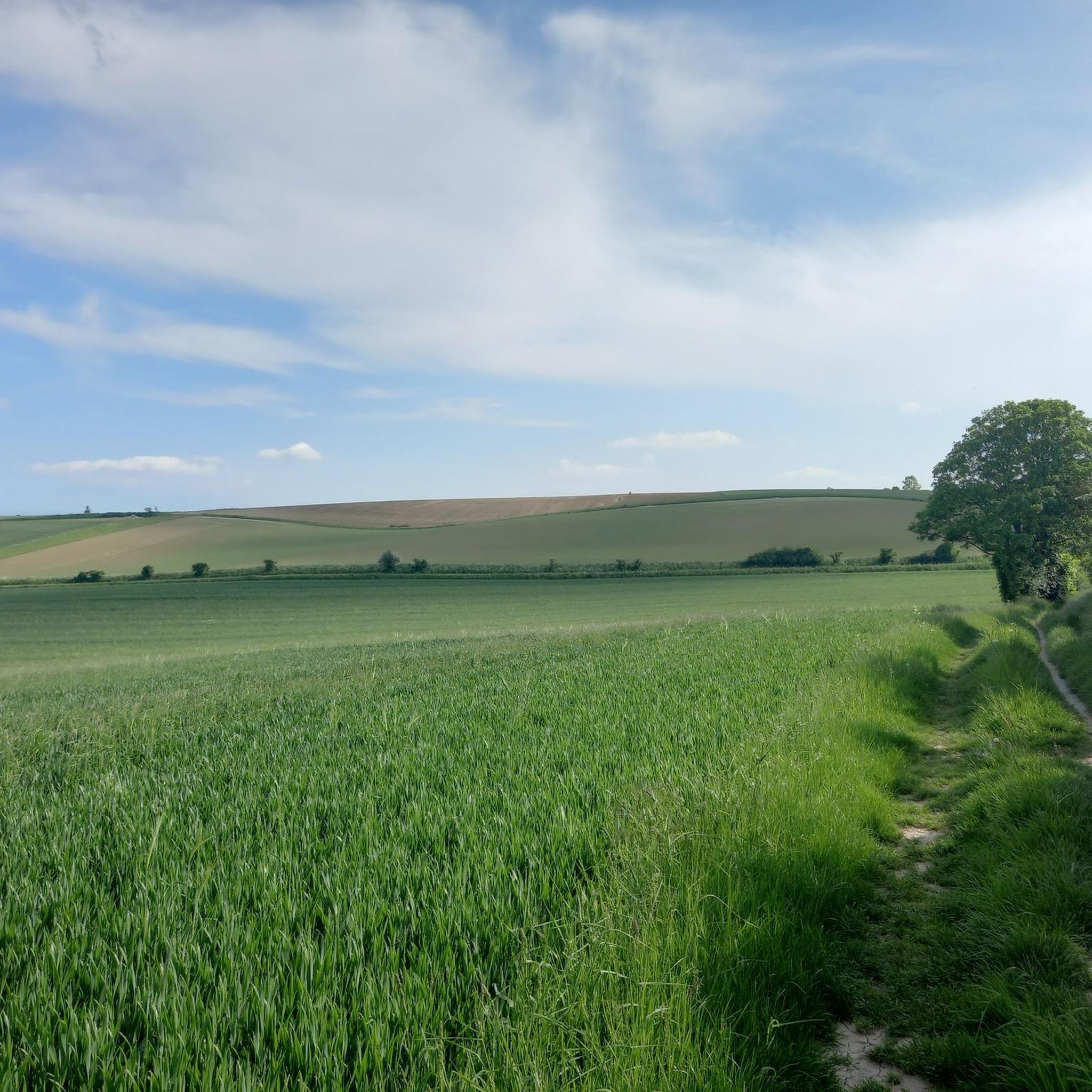
Hiking around Wrestlingworth And Cockayne Hatley offers routes through the gently undulating landscape of rural Bedfordshire and Cambridgeshire. The area is characterized by open farmland, small woodlands, and historic villages. Trails often connect these points of interest, providing a mix of agricultural views and quiet country paths. The terrain is generally mild, suitable for various fitness levels.
Best hiking trails around Wrestlingworth And Cockayne Hatley
- The most popular hiking route is Post Office Shop loop from Hatley, a 4.7 miles (7.5 km) trail that takes 1 hour 57 minutes to complete. This easy route offers a pleasant walk through the local countryside.
- Another top favourite among local hikers is St Denis Church, East Hatley loop from Hatley, a moderate 6.2 miles (10.0 km) path. This trail features open fields and views of the historic church.
- Local hikers also love the St Denis Church, East Hatley – Hatley Church loop from Cockayne Hatley, a 6.1 miles (9.8 km) trail leading through agricultural land and past village churches, often completed in about 2 hours 32 minutes.
- Hiking around Wrestlingworth And Cockayne Hatley is defined by rolling farmland, quiet country lanes, and small village paths. The network offers options for different ability levels, from easy strolls to moderate walks.
- The routes in Wrestlingworth And Cockayne Hatley are highly rated by the komoot community with an average score of 4.5 stars from more than 300 reviews. More than 3,000 hikers have used komoot to explore Wrestlingworth And Cockayne Hatley's varied terrain.
Last updated: October 12, 2026
4.8
(4)
11
hikers
Moderate hike. Good fitness required. Easily-accessible paths. Suitable for all skill levels.
5.0
(6)
10
hikers
7.48km
01:57
50m
50m
Easy hike. Great for any fitness level. Easily-accessible paths. Suitable for all skill levels.

5.0
(3)
8
hikers
Moderate hike. Good fitness required. Easily-accessible paths. Suitable for all skill levels.
4.6
(5)
11
hikers
Moderate hike. Good fitness required. Easily-accessible paths. Suitable for all skill levels.
5.0
(1)
6
hikers
8.61km
02:14
50m
50m
Moderate hike. Good fitness required. Easily-accessible paths. Suitable for all skill levels.
Get access to more routes and recommendations from other explorers.
Already have an account?
Our route recommendations are based on thousands of hikes, rides, and runs completed by other people on komoot.
Start today with a free account
Your next adventure awaits.
Popular around Wrestlingworth And Cockayne Hatley

Tips from the Community

Pleasant if unexceptional little village. There's a pub but no cafe or shop.
0
0

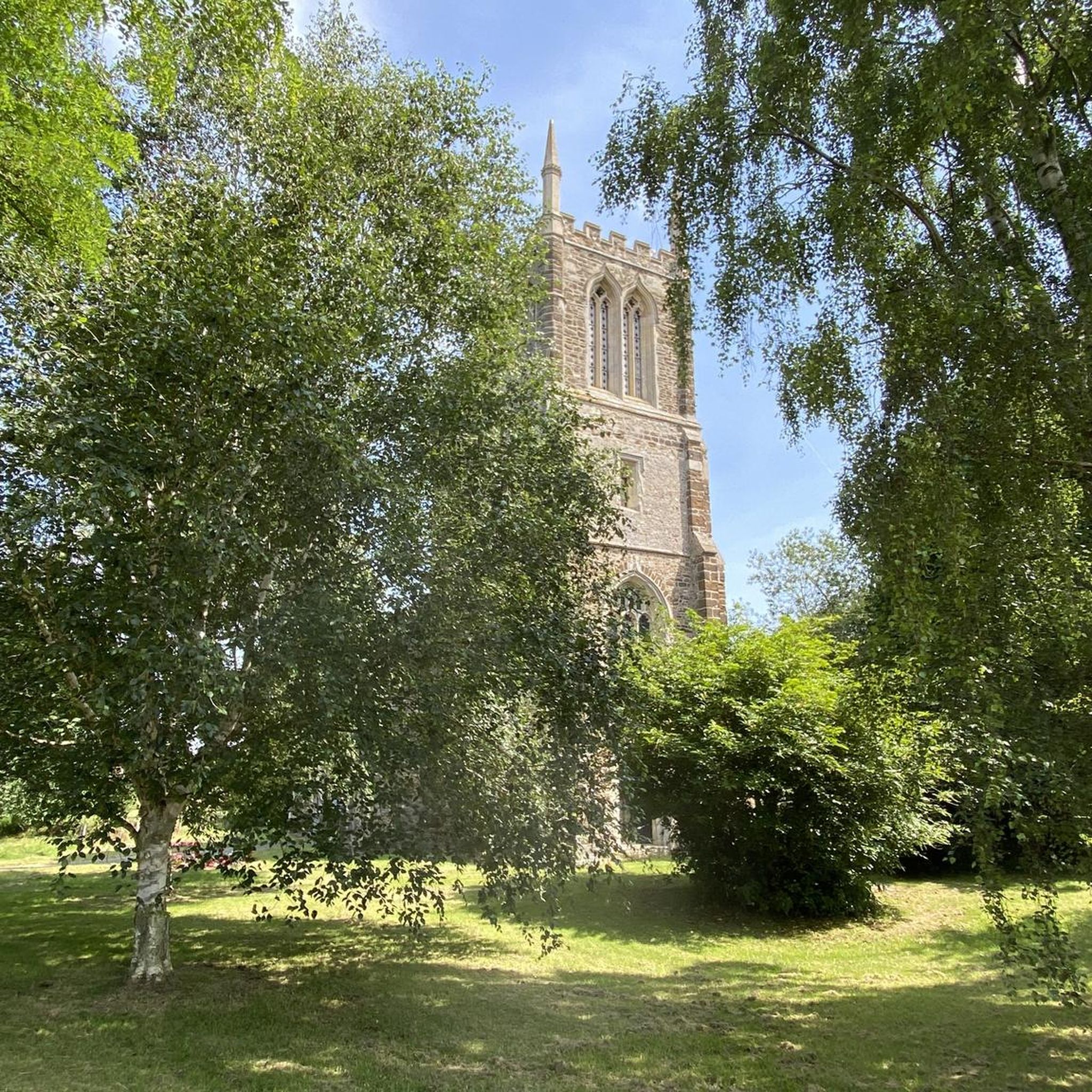
The church is in front of the Waggon & Horses pub
0
0

Byway - well kept gravel farm track - fast - not sure how legal it is - it says 'Public Byway' at the start (?) 🤔
0
0

info on site and also http://friendsoffriendlesschurches.org.uk/east-hatley/
0
0
An ancient church that has survived against the odds - restored by friends of friendless churches
0
0

One of the few supply points directly on the route in this section, a little shop with basic supplies chocolate and drinks etc .. min spend for card use so take cash.
0
0


A characterful Community Owned village pub. Benches out front and a nice garden too. Extensive menu and a warm welcome to walkers and cyclists alike. And a great selection of ales...
1
0
Frequently Asked Questions
How many hiking trails are available in Wrestlingworth And Cockayne Hatley?
There are over 200 hiking routes recorded in the Wrestlingworth And Cockayne Hatley area on komoot. This includes a diverse range of options, with more than 120 easy trails and over 80 moderate routes, ensuring there's something for every fitness level.
What do other hikers enjoy most about the trails in this area?
The komoot community highly rates the hiking experience in Wrestlingworth And Cockayne Hatley, with an average score of 4.5 stars from hundreds of reviews. Hikers often praise the area's gently undulating landscape, the peaceful country paths, and the charming historic villages that many routes connect.
What is the best time of year to go hiking in Wrestlingworth And Cockayne Hatley?
The mild terrain and open farmland of Wrestlingworth And Cockayne Hatley make it suitable for hiking year-round. Spring and summer offer lush green views and wildflowers, while autumn brings beautiful changing foliage. Even in winter, the paths are generally accessible, though some sections might be muddy after rain.
Are the hiking trails in Wrestlingworth And Cockayne Hatley suitable for beginners?
Yes, many trails in the area are ideal for beginners. With over 120 easy routes, the region offers gentle walks through open farmland and small woodlands. An excellent option for beginners is the Sutton Bridge – Pegnut Woods loop from Potton, which is 6.2 km long and features minimal elevation gain.
Are there any family-friendly walks in Wrestlingworth And Cockayne Hatley?
Absolutely. The generally mild and flat terrain makes many routes suitable for families. Look for the 'easy' graded trails, which often pass through villages or offer open views, providing an enjoyable experience for all ages. The Sutton Bridge – Pegnut Woods loop from Potton is a good example of an easy, family-friendly option.
Can I bring my dog on the hiking trails?
Many of the trails in Wrestlingworth And Cockayne Hatley are dog-friendly, especially those that traverse open farmland and country lanes. However, please be mindful of livestock in fields and keep dogs on a lead where necessary, particularly during lambing season. Always carry water for your dog and clean up after them.
Are there circular walking routes available?
Yes, the area is well-suited for circular walks, allowing you to start and end at the same point without retracing your steps. Many routes are designed as loops, connecting villages, woodlands, and points of interest. For example, the Icknield Way East of Ashwell loop from Guilden Morden offers a moderate circular experience.
Where can I find parking for walks near Wrestlingworth and Cockayne Hatley?
Parking is typically available in or near the villages that serve as starting points for many trails. Look for public car parks in villages like Wrestlingworth, Cockayne Hatley, or nearby Potton and Guilden Morden. Always check local signage for any parking restrictions or fees.
Are there options for public transport access to trails?
While the area is predominantly rural, some villages may have limited bus services connecting them to larger towns. It's advisable to check local bus timetables in advance if you plan to rely on public transport to reach trailheads. Many hikers prefer to drive to the starting points.
Are there any pubs or cafes along the hiking routes?
Yes, several villages in the region, such as Wrestlingworth and Cockayne Hatley, have traditional pubs that often welcome hikers. These can be excellent spots for a refreshment break or a meal before or after your walk. It's a good idea to check opening times, especially if you're hiking on a weekday.
What kind of terrain can I expect on hikes around Wrestlingworth And Cockayne Hatley?
The terrain is generally mild and gently undulating, characteristic of rural Bedfordshire and Cambridgeshire. You can expect a mix of open farmland paths, quiet country lanes, and trails through small woodlands. While mostly flat, some routes may have minor inclines. Paths are typically well-maintained but can be muddy after rain.
What can I see along the hiking trails in this region?
The trails often pass through picturesque villages and offer views of historic churches and agricultural landscapes. For specific landmarks, consider exploring areas near Wimpole Hall and Gardens or the Greenwich Meridian marker at Orwell, which are notable attractions in the wider area.
What should I bring for a hike near Wrestlingworth And Cockayne Hatley?
For most hikes in this region, comfortable walking shoes or boots are essential, especially as paths can be muddy. We recommend bringing water, snacks, and appropriate clothing layers for changing weather. A map or a GPS device (like the komoot app) is also useful for navigation, as some paths may not be extensively signposted.
Most popular routes around Wrestlingworth And Cockayne Hatley
Most popular attractions around Wrestlingworth And Cockayne Hatley

Get inspired with the komoot mobile app


Explore more
Browse the best Hikes in other regions.
