The best mountain hikes around Zell im Wiesental
5.0
(16)
73
hikers
10
hikes
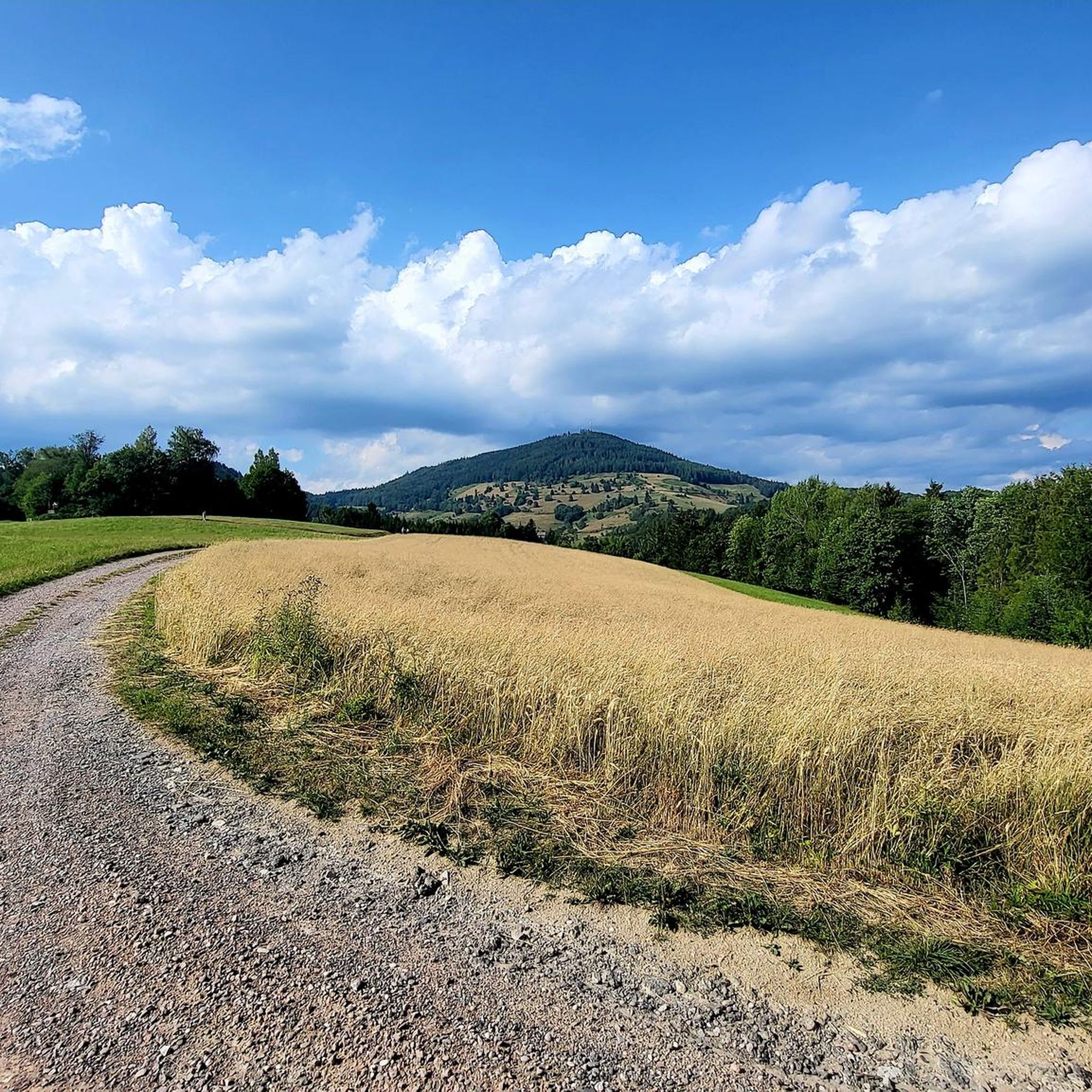
Mountaineering routes around Zell im Wiesental are situated in the Southern Black Forest, characterized by green hills, deep valleys, and prominent peaks. The region is part of the Zeller Bergland, offering diverse terrain for outdoor activities. Notable features include the Zeller Blauen, rising over 600 meters above the Wiese Valley, and the Hohe Möhr, a significant lookout mountain. The area is also integrated into the Black Forest Biosphere Reserve and Southern Black Forest Nature Park.
Best mountaineering routes around Zell…
Last updated: May 20, 2026
5.0
(2)
6
hikers
14.3km
05:07
770m
770m
Hard mountaineering route. Very good fitness required. Mostly accessible paths. Sure-footedness required.
5.0
(2)
15
hikers
5.55km
01:54
310m
310m
Moderate mountaineering route. Good fitness required. Easily-accessible paths. Suitable for all skill levels.

Sign up for free
2
hikers
11.0km
03:33
410m
410m
Moderate mountaineering route. Good fitness required. Mostly accessible paths. Sure-footedness required.
5.0
(4)
9
hikers
12.3km
03:47
440m
450m
Moderate mountaineering route. Good fitness required. Easily-accessible paths. Suitable for all skill levels.
5
hikers
11.4km
04:01
550m
550m
Moderate mountaineering route. Good fitness required. Mostly accessible paths. Sure-footedness required.
Get access to more routes and recommendations from other explorers.
Sign up for free
Already have an account?
Our route recommendations are based on thousands of hikes, rides, and runs completed by other people on komoot.
Start today with a free account
Your next adventure awaits.
Login or Signup

Tips from the Community

At around 325 meters long and 200 meters wide, the Nonnenmattweiher pond isn't particularly large, but it's truly beautiful to look at. So, if you're looking for a wonderfully located swimming lake in the Black Forest, you're in the right place by jumping into this medieval lake near Badenweiler. Here, you can swim in peace and enjoy the Black Forest in all its splendor. After the lake had probably silted up in the Middle Ages, it was subsequently dammed. According to legend, a nunnery is said to have sunk into the lake. However, the lake's name doesn't stem from this legend, but rather from the fact that fattening cows, called nuns, used to grazed the pastures surrounding the lake. Source: https://www.schwarzwald-tourismus.info/attraktionen/nonnenmattweiher-der-herrliche-badesee-im-schwarzwald-42507ff4b5
1
0

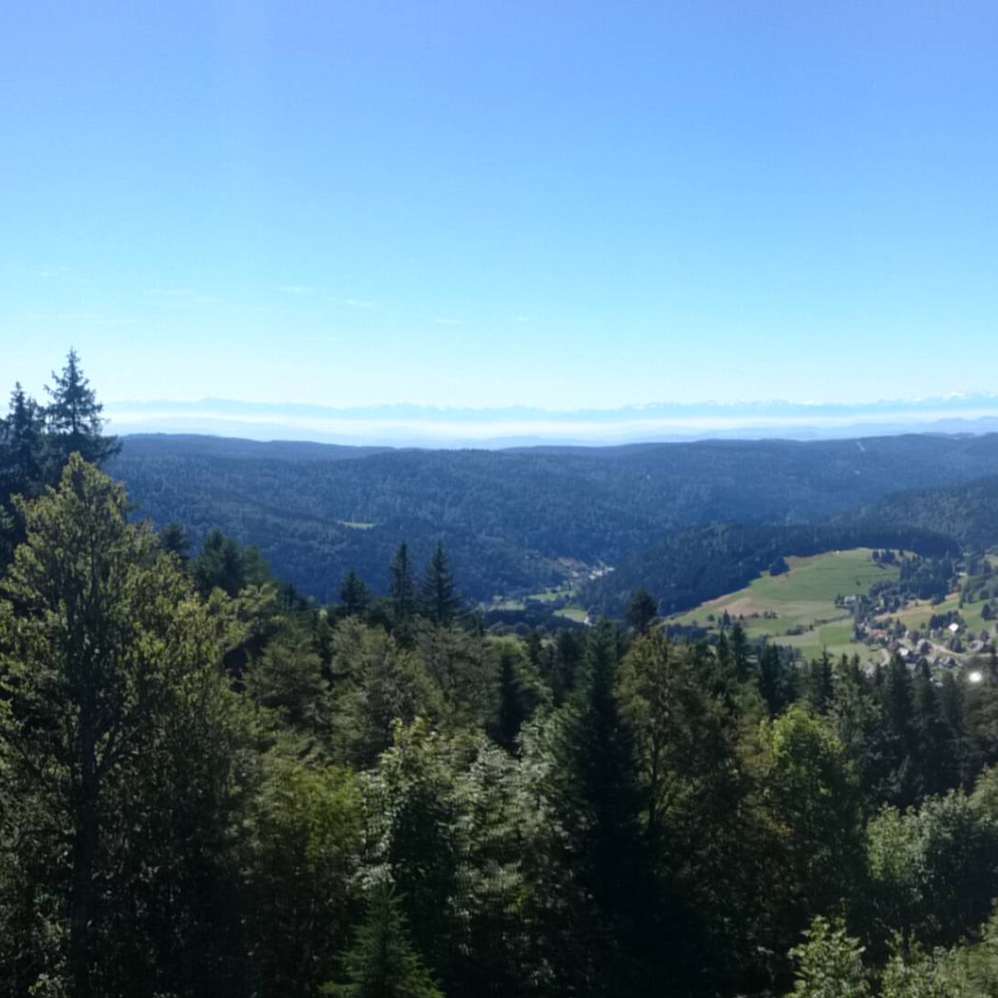
Beautiful vantage point with a summit register and bench. Views of the small Wiesental valley and the Vosges Mountains.
0
0

Super beautiful view of the Black Forest
0
0


Great panoramic view, just relax and unwind. Totally chilled!
2
0
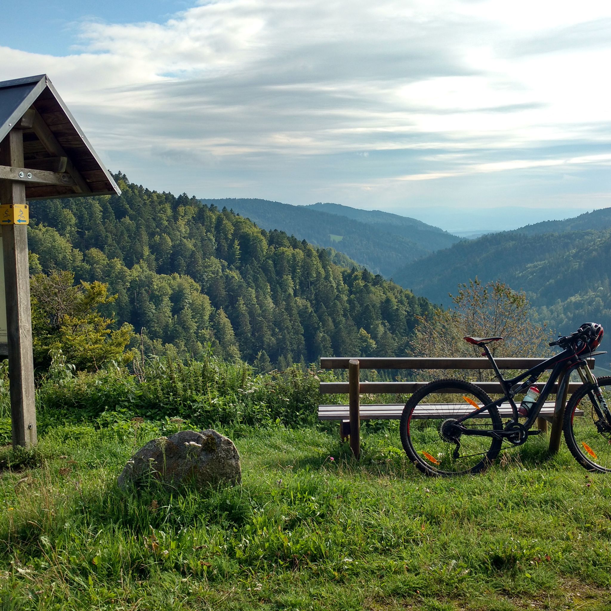
Great break area with perfect panoramic views!
0
0

A very beautiful flower
0
0
Frequently Asked Questions
What are the typical difficulty levels for mountaineering routes around Zell im Wiesental?
The mountaineering routes in Zell im Wiesental cater to a range of abilities. While there are no easy routes listed, you'll find a good selection of moderate trails, with 9 routes falling into this category. For those seeking a greater challenge, there are also 2 difficult routes available.
Are there any challenging mountaineering routes for experienced hikers in the region?
Yes, for experienced mountaineers looking for a challenge, the region offers difficult routes. One notable option is the Belchen Summit – Belchenhaus loop from Nonnenmattweiher. This route covers 8.9 miles (14.4 km) with significant elevation gain, providing a demanding experience and expansive views from the Belchen summit.
What natural landmarks and viewpoints can I discover on these routes?
The region is rich in natural landmarks and offers breathtaking viewpoints. You can expect to encounter the prominent Zeller Blauen, which rises over 600 meters above the Wiese Valley, and the Hohe Möhr, another significant lookout mountain offering views across the Wiese Valley and, on clear days, even to the Alps. The routes also traverse the picturesque Wiese Valley itself. Additionally, the Miniature Black Forest House – Todtmoos waterfalls loop from Todtmoos will take you near the impressive Todtnau waterfall.
Are there any circular mountaineering routes available?
Yes, many of the mountaineering routes around Zell im Wiesental are designed as circular tours, allowing you to start and end at the same point. Examples include the Belchen Summit – Belchenhaus loop from Nonnenmattweiher, the Belchen Summit Station – Belchen House loop from Belchen, and the Nonnenmatt Pond – Köhlgarten East Summit loop from Nonnenmattweiher.
What is the best time of year for mountaineering in Zell im Wiesental?
The Southern Black Forest, where Zell im Wiesental is located, is generally excellent for outdoor activities from spring through autumn. The diverse landscapes are particularly beautiful during these seasons. While some routes might be accessible in winter, it's always advisable to check local conditions and weather forecasts, as higher elevations can experience snow and ice.
Can I bring my dog on the mountaineering trails?
Generally, dogs are welcome on trails in the Black Forest region, but it's crucial to keep them on a leash, especially in protected areas like the Black Forest Biosphere Reserve and Southern Black Forest Nature Park, which Zell im Wiesental is part of. Always be mindful of wildlife and other hikers.
Are there any routes that pass by waterfalls?
Yes, if you're interested in seeing waterfalls, consider the Miniature Black Forest House – Todtmoos waterfalls loop from Todtmoos. This route will bring you close to the impressive Todtnau waterfall, which has a drop of 97 meters. Other waterfalls can also be found at Angenbach near Häg-Ehrsberg and Schuhlochbachtal near Atzenbach.
What are some points of interest or attractions near the mountaineering routes?
Beyond the natural beauty, there are several points of interest. You might enjoy visiting the Hohe-Möhr-Turm (tower on Hohe Möhr) for panoramic views. For those interested in cycling, the region also features various bike parks and mountain passes. For example, the Blauen Pass is a notable mountain pass in the vicinity.
How long do mountaineering routes in Zell im Wiesental typically take to complete?
The duration of routes varies depending on their length and difficulty. For instance, the moderate Belchen Summit Station – Belchen House loop from Belchen can be completed in about 1 hour 55 minutes. A longer, moderate route like the Nonnenmatt Pond – Köhlgarten East Summit loop from Nonnenmattweiher typically takes around 3 hours 35 minutes, while the difficult Belchen Summit – Belchenhaus loop from Nonnenmattweiher might take over 5 hours.
What do other mountaineers say about the routes in Zell im Wiesental?
The mountaineering routes in Zell im Wiesental are highly regarded by the komoot community, boasting an impressive average rating of 4.9 stars from over 17 reviews. More than 70 mountaineers have already explored the varied terrain using komoot, often praising the diverse landscapes and well-maintained trails.
Are there any routes that offer access to mountain huts or shelters?
While specific hut stops are not detailed for all routes, the Belchen Summit Station – Belchen House loop from Belchen provides direct access to the Belchen House, which can serve as a place for refreshment or shelter during your tour.
What are the main geographical features that define the mountaineering experience here?
The mountaineering experience in Zell im Wiesental is defined by its location within the Southern Black Forest, characterized by green hills, deep valleys, and prominent peaks. Key features include the Zeller Blauen, the Hohe Möhr, and the picturesque Wiese Valley. The region is also part of the Black Forest Biosphere Reserve and Southern Black Forest Nature Park, ensuring a rich natural environment.
Most popular routes around Zell im Wiesental
Most popular attractions around Zell im Wiesental

Get inspired with the komoot mobile app


Explore more
Browse the best Mountain Hikes & Routes in other regions.
