The best mountain hikes around Utzenfeld
4.7
(26)
132
hikers
23
hikes
Mountaineering around Utzenfeld offers a diverse landscape characterized by the rolling hills and forested slopes of the Black Forest. The region features varied terrain, including ascents to prominent peaks like Belchen, which provide expansive views. Mountaineering routes often traverse woodlands, open ridgelines, and lead to scenic viewpoints. The area's geology supports a range of paths suitable for different skill levels.
Best mountaineering routes around Utzenfeld
- The most popular mountaineering route is Belchen Summit – View of the Alps from Belchen…
Last updated: October 5, 2026
4.7
(3)
12
hikers
15.5km
05:54
990m
990m
Hard mountaineering route. Very good fitness required. Mostly accessible paths. Sure-footedness required.
5.0
(2)
11
hikers
8.41km
02:59
480m
480m
Moderate mountaineering route. Good fitness required. Mostly accessible paths. Sure-footedness required.

5.0
(2)
18
hikers
5.55km
01:54
310m
310m
Moderate mountaineering route. Good fitness required. Easily-accessible paths. Suitable for all skill levels.
2
hikers
11.0km
03:34
410m
410m
Moderate mountaineering route. Good fitness required. Mostly accessible paths. Sure-footedness required.
5.0
(5)
9
hikers
12.1km
03:45
440m
450m
Moderate mountaineering route. Good fitness required. Easily-accessible paths. Suitable for all skill levels.
Get access to more routes and recommendations from other explorers.
Already have an account?
Our route recommendations are based on thousands of hikes, rides, and runs completed by other people on komoot.
Start today with a free account
Your next adventure awaits.
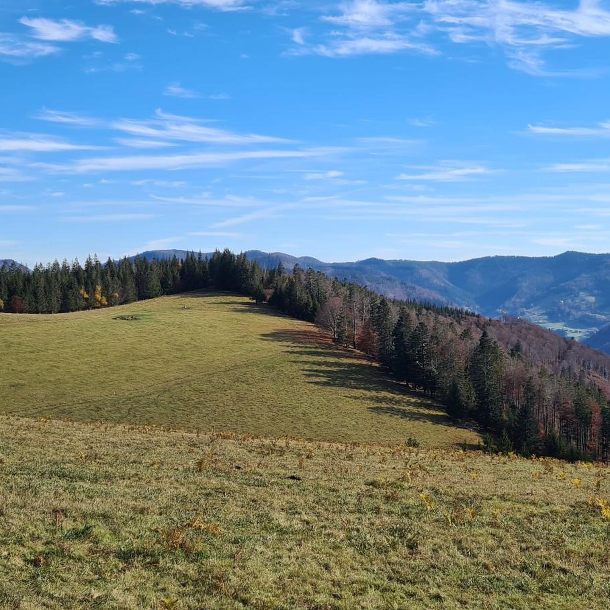
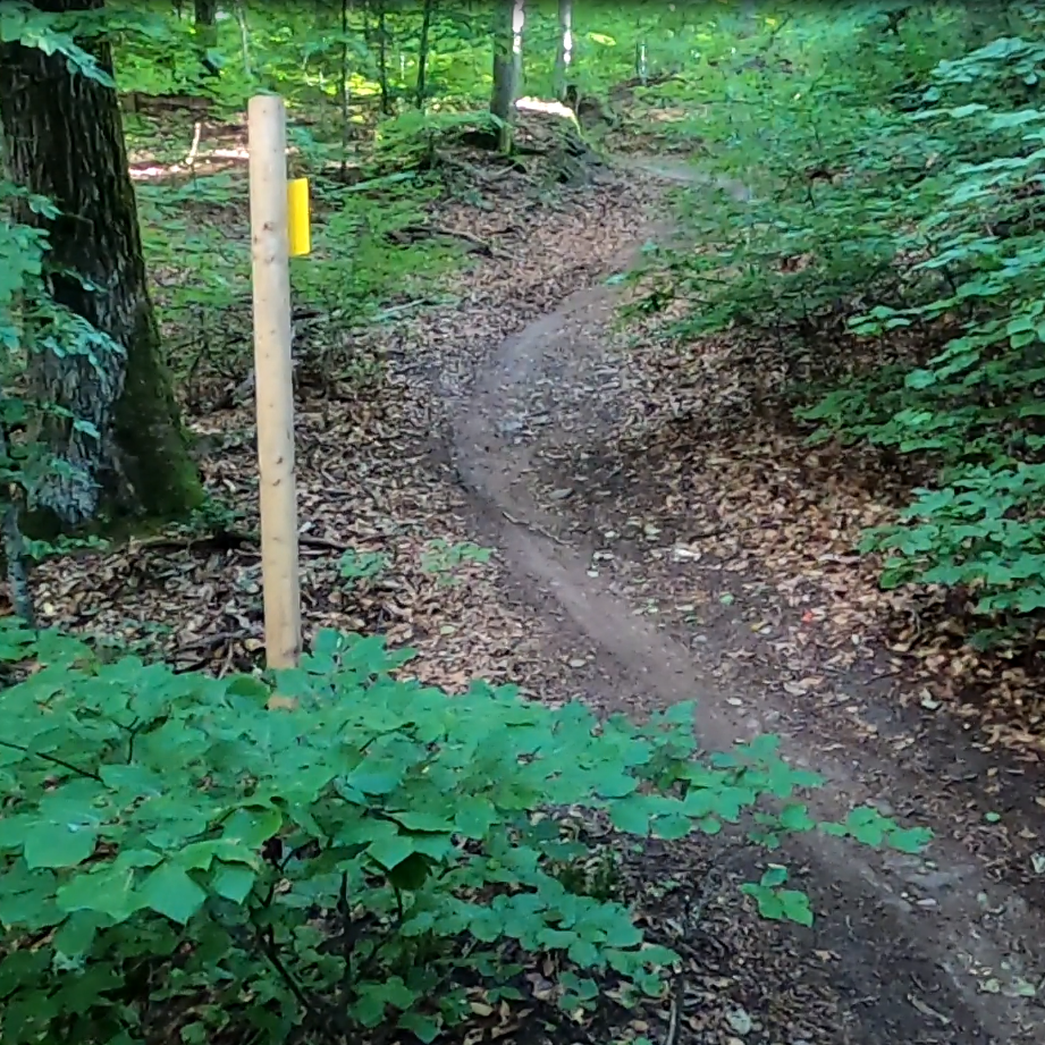
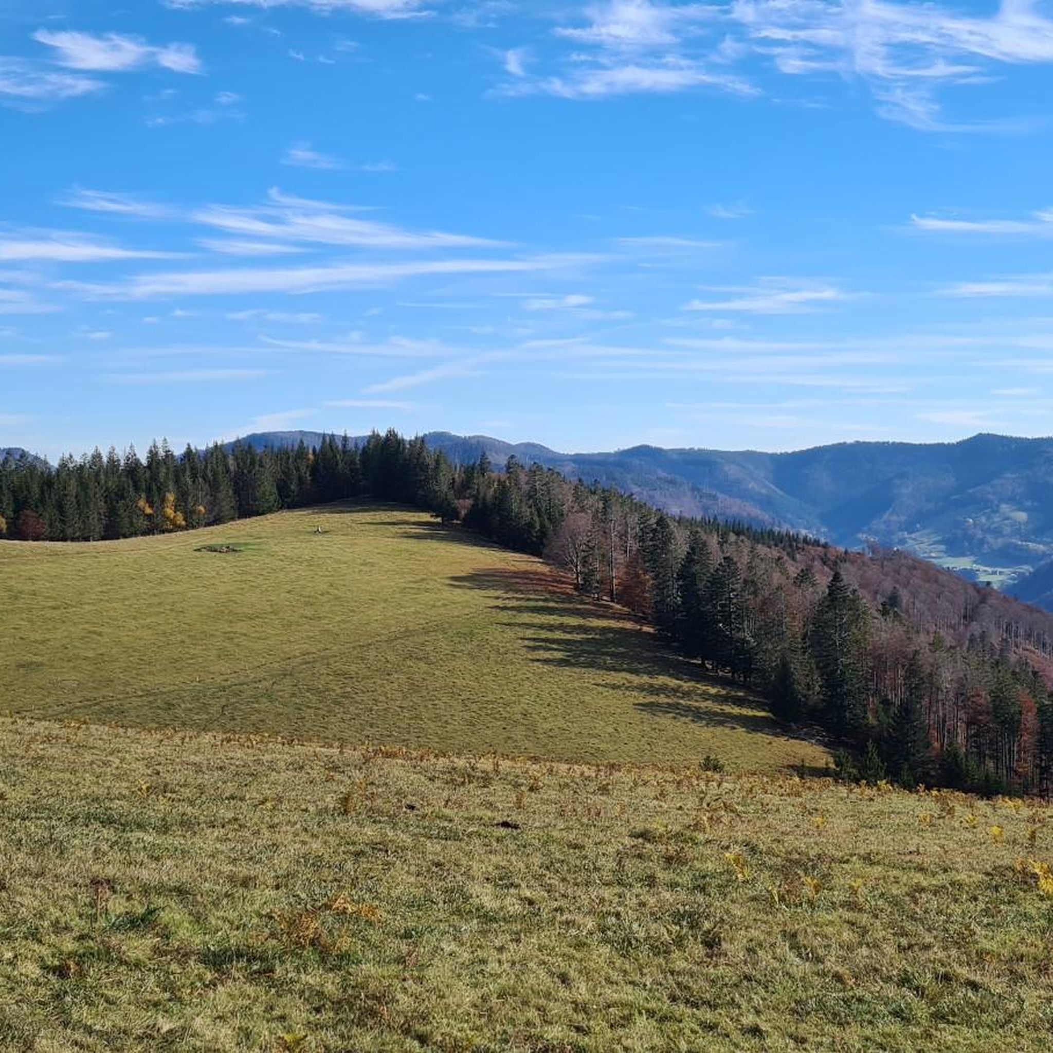
Other adventures around Utzenfeld

Tips from the Community

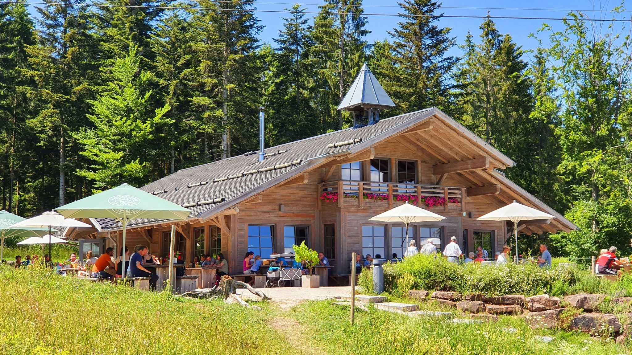
This is not the only Black Forest house, however. But a very beautiful one
0
0
Due to the dry summer of '26, the waterfall was just a trickle 🥲. There is more when it snows in winter and the snowmelt begins.
0
0

At around 325 meters long and 200 meters wide, the Nonnenmattweiher pond isn't particularly large, but it's truly beautiful to look at. So, if you're looking for a wonderfully located swimming lake in the Black Forest, you're in the right place by jumping into this medieval lake near Badenweiler. Here, you can swim in peace and enjoy the Black Forest in all its splendor. After the lake had probably silted up in the Middle Ages, it was subsequently dammed. According to legend, a nunnery is said to have sunk into the lake. However, the lake's name doesn't stem from this legend, but rather from the fact that fattening cows, called nuns, used to grazed the pastures surrounding the lake. Source: https://www.schwarzwald-tourismus.info/attraktionen/nonnenmattweiher-der-herrliche-badesee-im-schwarzwald-42507ff4b5
2
0

Beautiful vantage point with a summit register and bench. Views of the small Wiesental valley and the Vosges Mountains.
0
0

Super beautiful view of the Black Forest
0
0

Great view in the Black Forest. Definitely worth a visit 😉
2
0

Great panoramic view, just relax and unwind. Totally chilled!
2
0

Rest area with a beautiful view of the valley. Early morning with fog and absolute peace.
0
0
Frequently Asked Questions
How many mountaineering routes are available around Utzenfeld?
There are over 25 mountaineering routes documented around Utzenfeld on komoot, offering a variety of experiences. The region features 21 moderate routes and 8 more challenging options.
Are there any beginner-friendly mountaineering routes in the Utzenfeld area?
While many routes around Utzenfeld are rated as moderate, making them suitable for those with some hiking experience, there are options that can be considered beginner-friendly if you're prepared for some elevation gain. For example, the Belchen Summit Station – Belchen House loop from Belchen is a shorter, 3.5-mile route with a direct ascent to the summit area, offering a good introduction to the region's terrain.
What are some challenging mountaineering routes for experienced hikers?
For those seeking a more demanding experience, Utzenfeld offers several challenging routes. The region has 8 routes classified as difficult. An example of a longer, more strenuous option is the Belchen Summit – View of the Alps from Belchen loop from Wieden, which covers 9.2 miles with significant elevation gain and panoramic views.
What kind of views can I expect on the mountaineering routes around Utzenfeld?
The mountaineering routes around Utzenfeld offer diverse and rewarding views. You can expect expansive vistas from prominent peaks like Belchen, often extending towards the Alps on clear days. Many trails traverse forested ridges and open areas, leading to scenic viewpoints. Notable viewpoints include the Schauinsland Observation Tower and the Belchen Summit itself.
Are there any circular mountaineering routes in the area?
Yes, many of the mountaineering routes around Utzenfeld are designed as circular loops, allowing you to start and end at the same point. Examples include the popular Belchen House – Lünzmannplatz Viewpoint loop from Belchen, which is a 7.4-mile circular trail, and the Belchen House – Car-free Belchen Road loop from Belchen.
What is the best time of year for mountaineering in Utzenfeld?
The best time for mountaineering in Utzenfeld, located in the Black Forest, is typically from late spring through early autumn (May to October). During these months, the weather is generally milder, trails are clear of snow, and the forests are lush. Autumn offers particularly beautiful foliage. Winter mountaineering is possible but requires appropriate gear and experience due to snow and ice conditions.
Are there any waterfalls along the mountaineering routes?
Yes, the region around Utzenfeld is home to several beautiful waterfalls that can be incorporated into or viewed from mountaineering routes. A notable example is the Todtnau Waterfall, which is a significant natural attraction. The Todtnau Waterfall – View of Muggenbrunn loop from Todtnauberg is a moderate route that allows you to experience this natural wonder.
What do other mountaineers say about the routes in Utzenfeld?
The mountaineering routes in Utzenfeld are highly regarded by the komoot community, with an average rating of 4.8 out of 5 stars from over 30 reviews. Users frequently praise the diverse landscape, the well-maintained paths, and the rewarding panoramic views, especially from peaks like Belchen. Many appreciate the variety of routes suitable for different fitness levels.
Are there any family-friendly mountaineering options?
For families, routes that are shorter in distance and have less extreme elevation changes are ideal. While there are no routes specifically classified as 'easy' in the guide data, some moderate routes, especially shorter loops, can be suitable for families with active children. Always check the distance and elevation profile to ensure it matches your family's capabilities.
What are some notable landmarks or points of interest near the mountaineering trails?
Beyond the natural beauty, there are several interesting landmarks. The Belchen Summit (1,414 m) itself is a major highlight, offering incredible views. You might also encounter the Bismarck Monument on the Seebuck Summit or the Schauinsland Observation Tower, providing unique perspectives of the Black Forest landscape.
What are the typical distances and elevation gains for mountaineering routes in Utzenfeld?
The routes around Utzenfeld vary significantly. You'll find shorter loops like the Belchen Summit Station – Belchen House loop from Belchen, which is about 3.5 miles (5.6 km) with around 310 meters of elevation gain. Longer routes, such as the Belchen Summit – View of the Alps from Belchen loop from Wieden, can be up to 9.2 miles (14.8 km) with nearly 600 meters of ascent, offering a more strenuous challenge.
Most popular attractions around Utzenfeld

Get inspired with the komoot mobile app


Explore more
Browse the best Mountain Hikes & Routes in other regions.
