The best running trails around Böllen
4.6
(478)
5,318
runners
183
runs
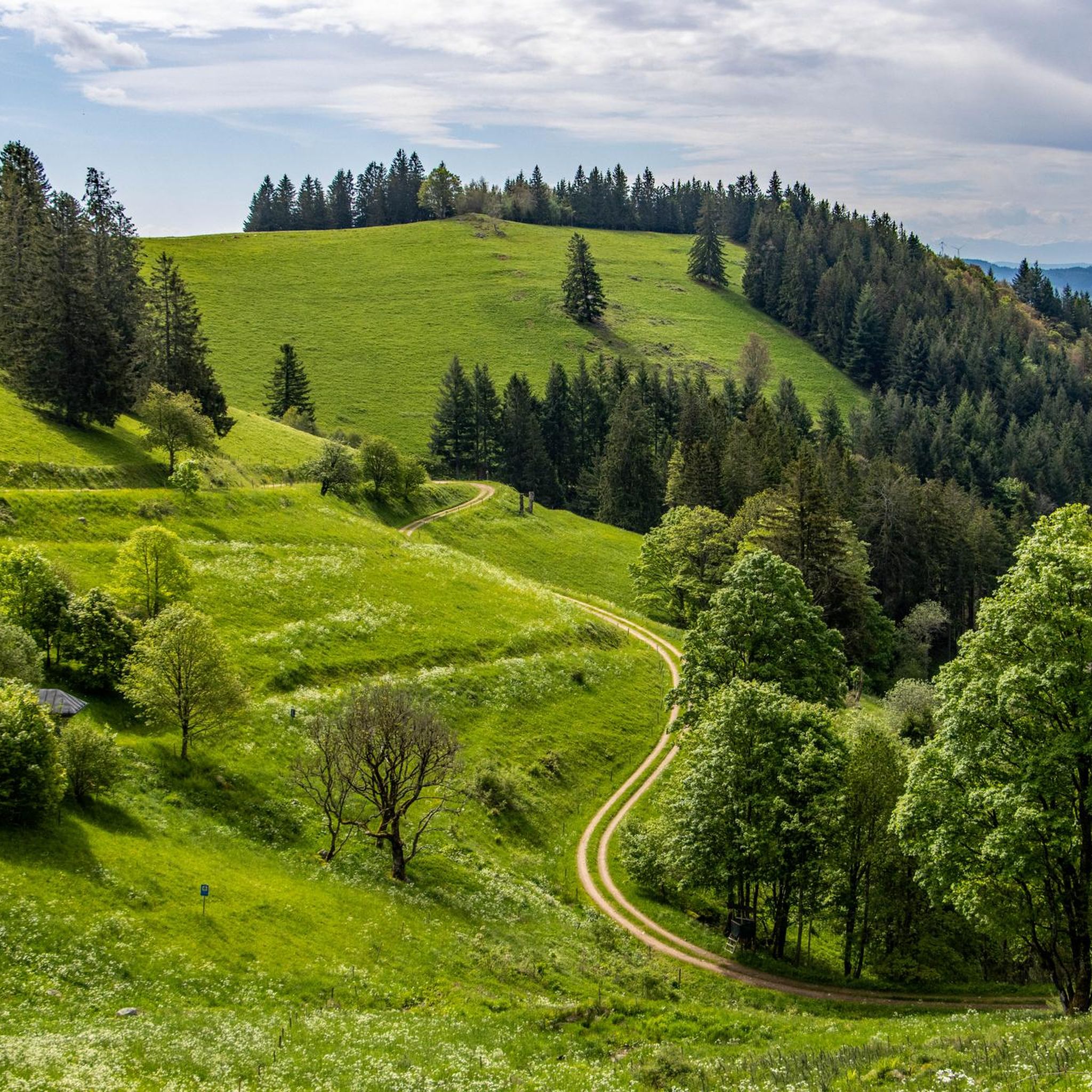
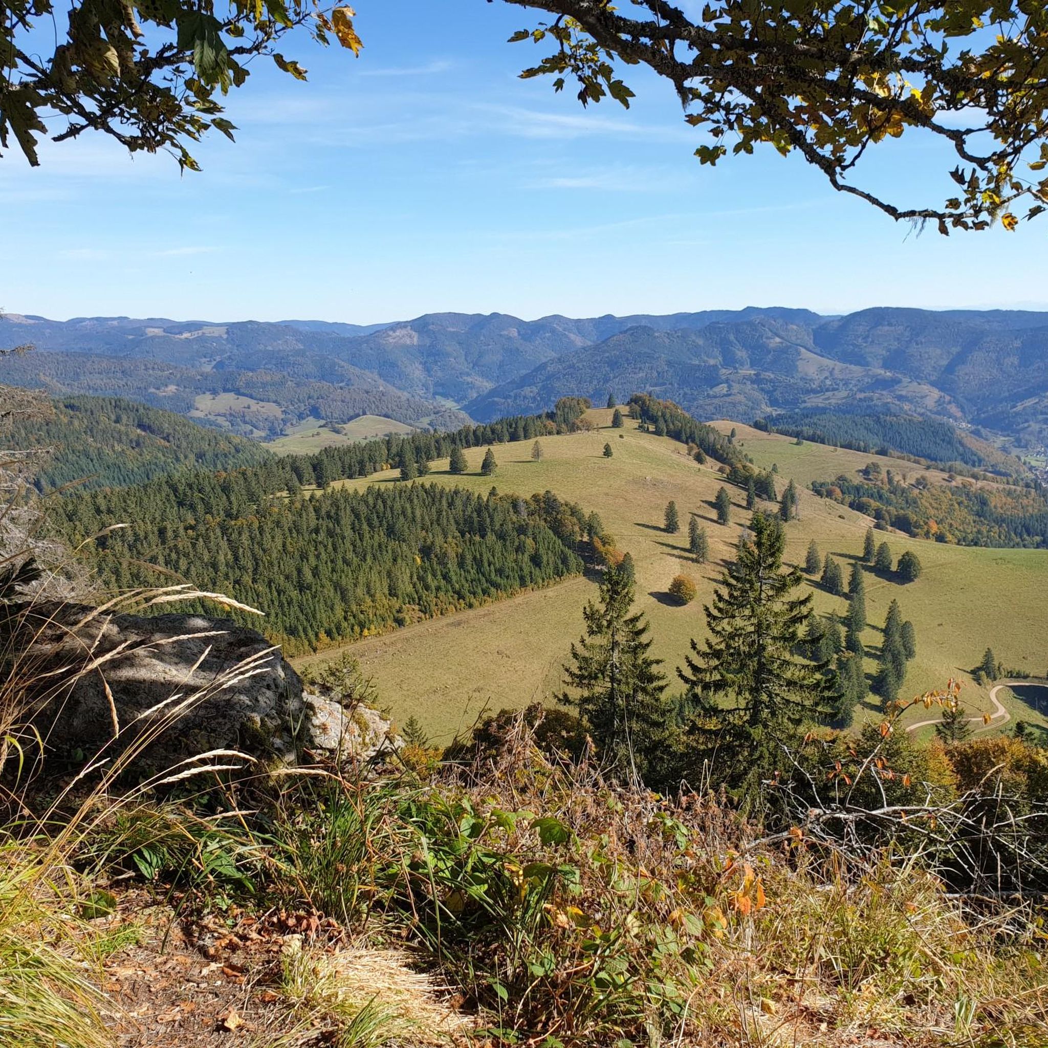
Jogging around Böllen provides access to the diverse landscapes of the Black Forest region. The area features extensive running trails that traverse lush forests, scenic valleys, and cultural landscapes. Routes often include mountain views, with the Belchen summit being a prominent feature, and some trails lead to natural attractions like the Todtnau Waterfall.
Best jogging routes around Böllen
- The most popular jogging route is Belchensteig Frame Viewpoint – Wiedener Eck Pass loop from Neuenweg, a 16.6 miles (26.7 km)…
Last updated: September 24, 2026
5.0
(1)
121
runners
24.3km
03:38
1,200m
1,200m
Hard run. Very good fitness required. Sure-footedness, sturdy shoes and alpine experience required.
5.0
(1)
48
runners
11.4km
01:21
230m
230m
Moderate run. Good fitness required. Mostly paved surfaces. Suitable for all skill levels.

45
runners
5.52km
00:49
310m
310m
Hard run. Very good fitness required. Mostly paved surfaces. Suitable for all skill levels.
5.0
(2)
47
runners
Hard run. Very good fitness required. Mostly paved surfaces. Suitable for all skill levels.
4.8
(5)
24
runners
Hard run. Very good fitness required. Sure-footedness, sturdy shoes and alpine experience required.
Get access to more routes and recommendations from other explorers.
Already have an account?
Our route recommendations are based on thousands of hikes, rides, and runs completed by other people on komoot.
Start today with a free account
Your next adventure awaits.

Tips from the Community

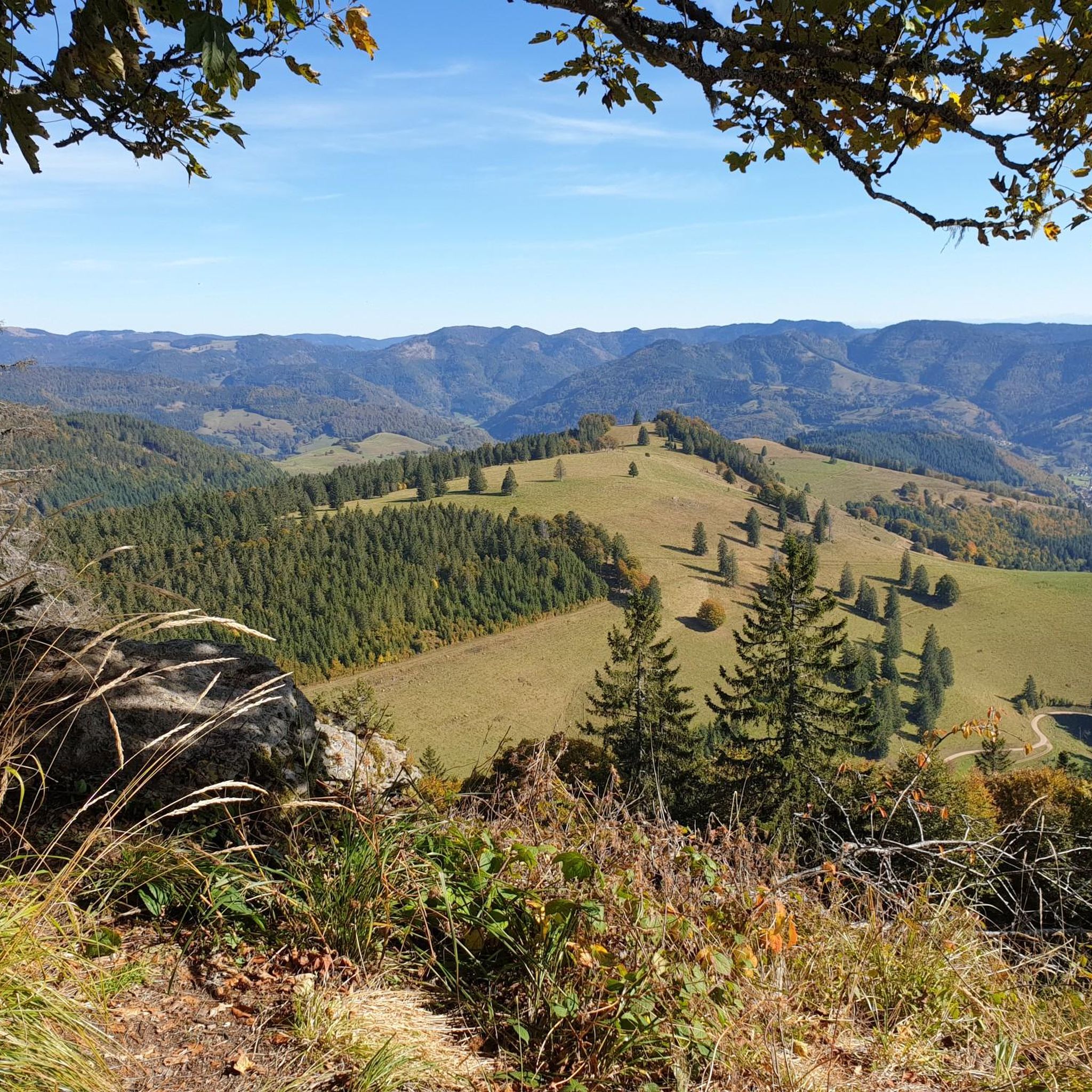
... the viewpoint "Belchensteig" is located in the immediate vicinity of the "Belchenhaus" or the mountain station of the "Belchen-Seilbahn"! - the "Belchensteig" is a premium hiking trail: https://www.wanderinstitut.de/premiumwege/baden-wuerttemberg/belchensteig/ - approx. 15 km long - Start/Finish: Wanderparkplatz "Wiedener Eck" (Oberwieden 15, 79695 Wieden) - please note: the trail is located in various protected areas: NSG „Wiedener Weidberge“, FFH area „Belchen“ (Natura 2000), bird sanctuary area „Südschwarzwald“ (Natura 2000) and UNESCO Biosphere Reserve „Schwarzwald“
0
0

Simply stunningly beautiful.
2
0

The sunrise on the Belchen is simply stunning.🌞
0
0

Located at the top station of the Belchenbahn. In my opinion, the trail offers better views.
5
1

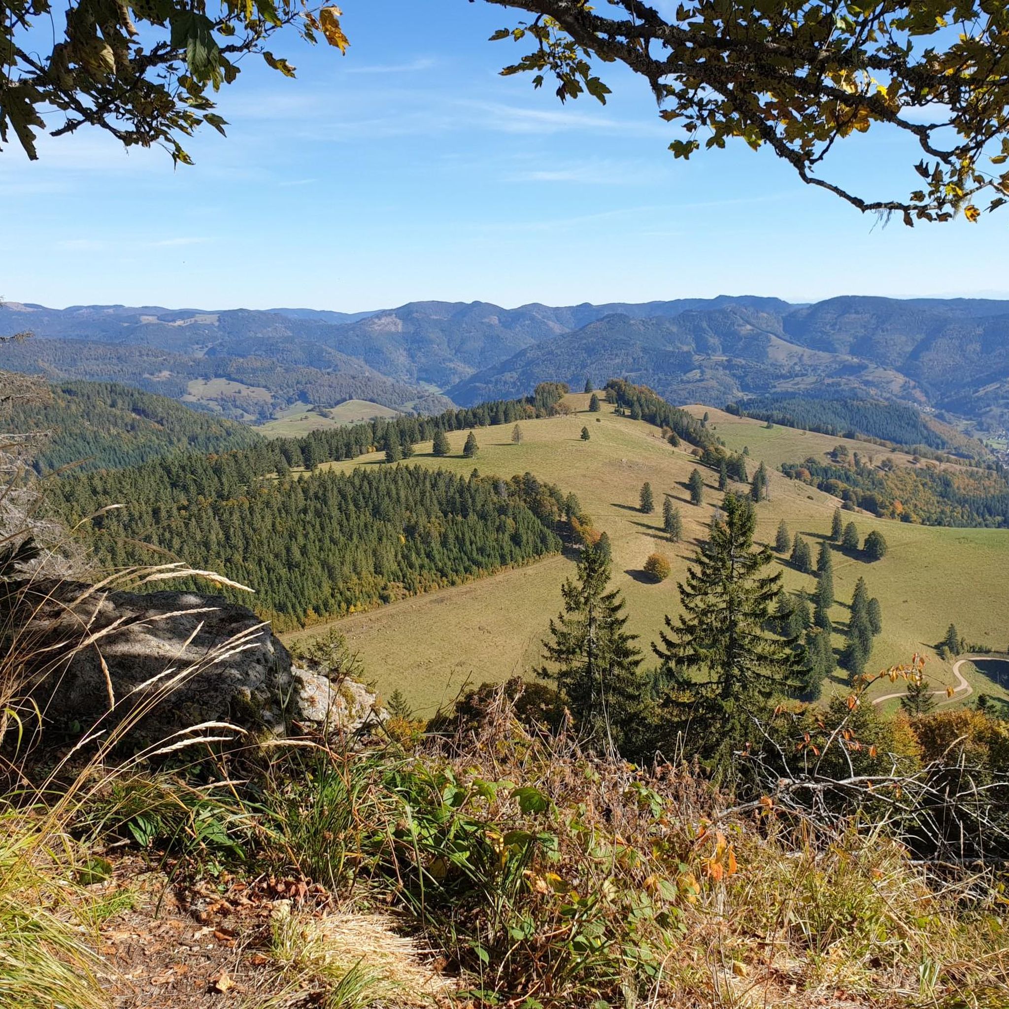
Spectacular vantage point: From the Belchen, the view extends far down into the Münstertal and over the Black Forest hills – a real panoramic highlight
0
0

The cable car is recommended (cheap)
0
0

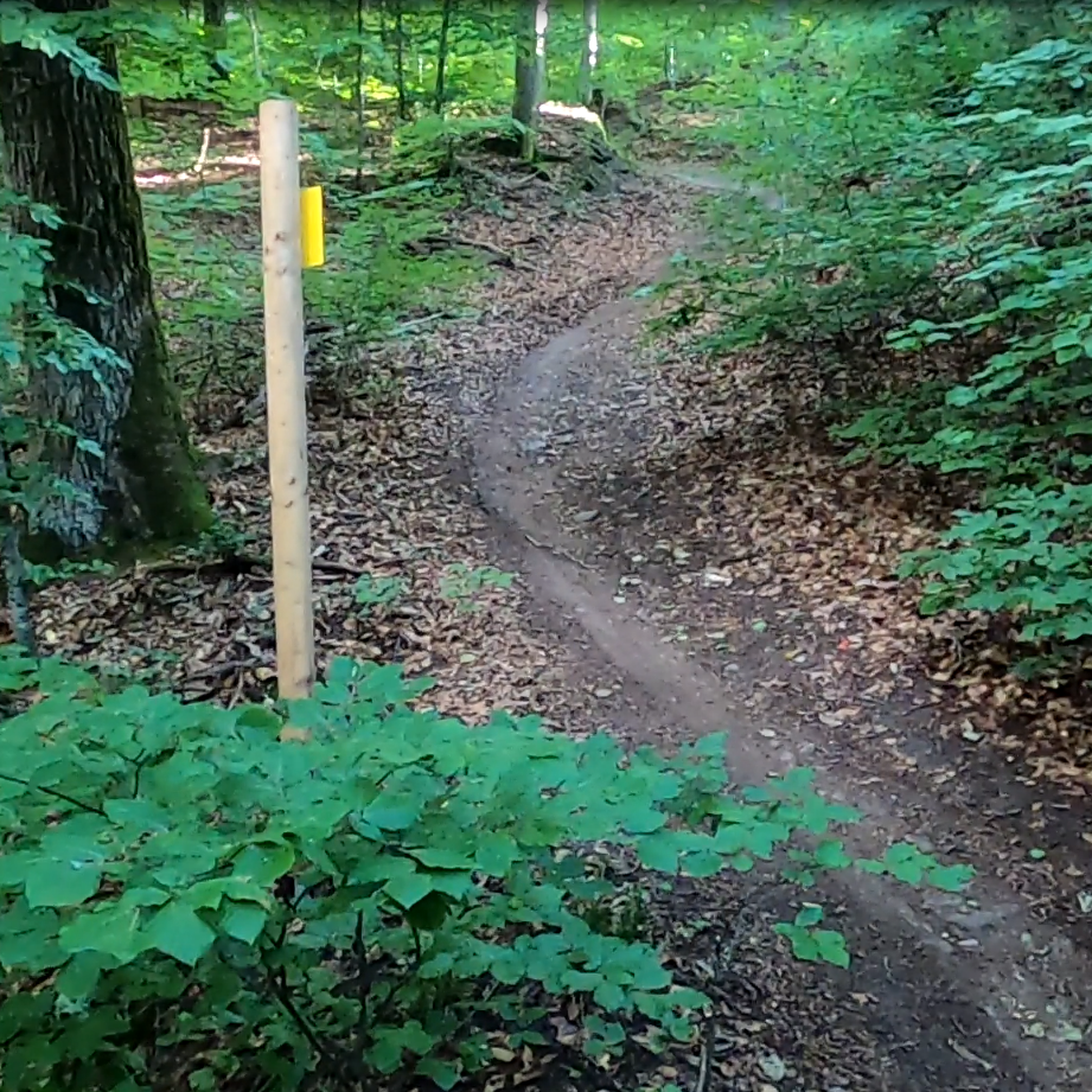
Well that’s a gate… through it and off you go on the tour around the Belchen
6
0
The panoramic mountain here in the region… The Black Forest, the Rhine plain and even the Alps spread out before you
7
0
Frequently Asked Questions
How many running routes are available around Böllen?
Böllen offers a wide selection of paths for runners, with over 180 routes documented on komoot. These range from easy strolls to challenging mountain ascents, ensuring options for various fitness levels.
Are there any easy jogging routes suitable for beginners or families in Böllen?
Yes, Böllen has routes suitable for beginners and families. There are 15 easy running routes available. While specific family-friendly routes aren't detailed, the easier paths generally offer a more relaxed experience through the scenic Black Forest landscape.
What are the typical durations for running trails in the Böllen area?
Running durations in Böllen vary significantly based on the route's length and difficulty. For example, a moderate route like the Earthworm Garden – Start of Regenwurmpfad loop from Belchen takes about 1 hour 23 minutes for 11.7 km, while a more challenging 26.7 km route can take nearly 4 hours.
What kind of scenic views can I expect on jogging routes around Böllen?
Jogging routes around Böllen are renowned for their stunning panoramic views. Many trails offer expansive vistas of the Rhine Valley, the Vosges mountains, and even the Alps on clear days, especially from higher elevations like the Belchen. You'll also experience lush forests, scenic valleys, and diverse cultural landscapes.
Are there any circular running routes in Böllen?
Yes, many running routes in Böllen are designed as loops, allowing you to start and finish at the same point. Examples include the Belchen House – Belchen Summit (1,414 m) loop from Belchen, which is a 10.2 km challenging trail, and the View of the Wiesental – Belchensteig Frame Viewpoint loop from Belchen, covering 10.8 km.
What natural attractions or landmarks can I see while running in Böllen?
The Böllen region offers several natural attractions. The impressive Todtnau Waterfall, where water cascades 97 meters, is a significant highlight. Many routes also lead towards the Belchen Summit, providing magnificent 360° views. You might also encounter various mountain passes like Wiedener Eck Pass.
What do other runners say about the trails in Böllen?
The running trails in Böllen are highly regarded by the komoot community, holding an average rating of 4.7 stars from over 380 reviews. Runners frequently praise the diverse landscapes, the well-maintained paths, and the breathtaking mountain views, especially those from the Belchen.
Are there opportunities for rest stops or refreshments along the running routes?
Yes, the region provides options for rest and refreshments. The Belchenhaus, located at an altitude of 1360 m near the Belchen Summit, serves as a popular rest stop with fantastic views. Many villages and towns in the Black Forest also offer cafes and restaurants where you can refuel.
What is the best season for jogging in Böllen?
The Black Forest region around Böllen is beautiful year-round. Spring and autumn offer pleasant temperatures and vibrant scenery, while summer provides longer daylight hours. Even in winter, some trails are accessible, offering a unique experience, though conditions can vary and require appropriate gear.
Is public transport available to access running trails in Böllen?
While specific public transport details for every trailhead are not provided, the Black Forest region generally has a network of buses and trains connecting its towns and villages. It's advisable to check local public transport schedules for connections to Böllen or nearby trail access points.
Are the running trails in Böllen dog-friendly?
Many trails in the Black Forest, including those around Böllen, are generally dog-friendly. However, it's always recommended to keep dogs on a leash, especially in nature reserves or areas with livestock, and to respect local regulations. Always carry water for your dog and clean up after them.
Where can I find parking near the running trails in Böllen?
Parking is typically available at common trailheads and popular starting points for routes in the Black Forest. For specific routes, it's best to check the individual route details on komoot, as they often include information about nearby parking facilities.
Most popular attractions around Böllen

Get inspired with the komoot mobile app


Explore more
Browse the best Running Trails & Routes in other regions.
